The best MTB trails around Saint-Sauveur
4.5
(727)
5,162
riders
171
rides
Mountain biking around Saint-Sauveur offers a diverse landscape characterized by significant elevation changes, river valleys, and panoramic viewpoints. The region features a network of trails that traverse varied terrain, including challenging climbs and descents. Many routes incorporate views of the Durance River and Lac d'Embrun, providing scenic backdrops for mountain bike adventures. This area is well-suited for riders seeking both endurance challenges and technical sections.
Best mountain bike trails around Saint-Sauveur
- The most popular mountain bike trail is Méale Loop…
Last updated: October 12, 2026
3.7
(15)
47
riders
33.7km
03:40
1,190m
1,190m
This difficult 20.9-mile mountain biking loop east of Embrun offers panoramic views of the Durance valley and Lac de Serre-Ponçon.
4.4
(9)
41
riders
27.3km
03:17
1,090m
1,090m
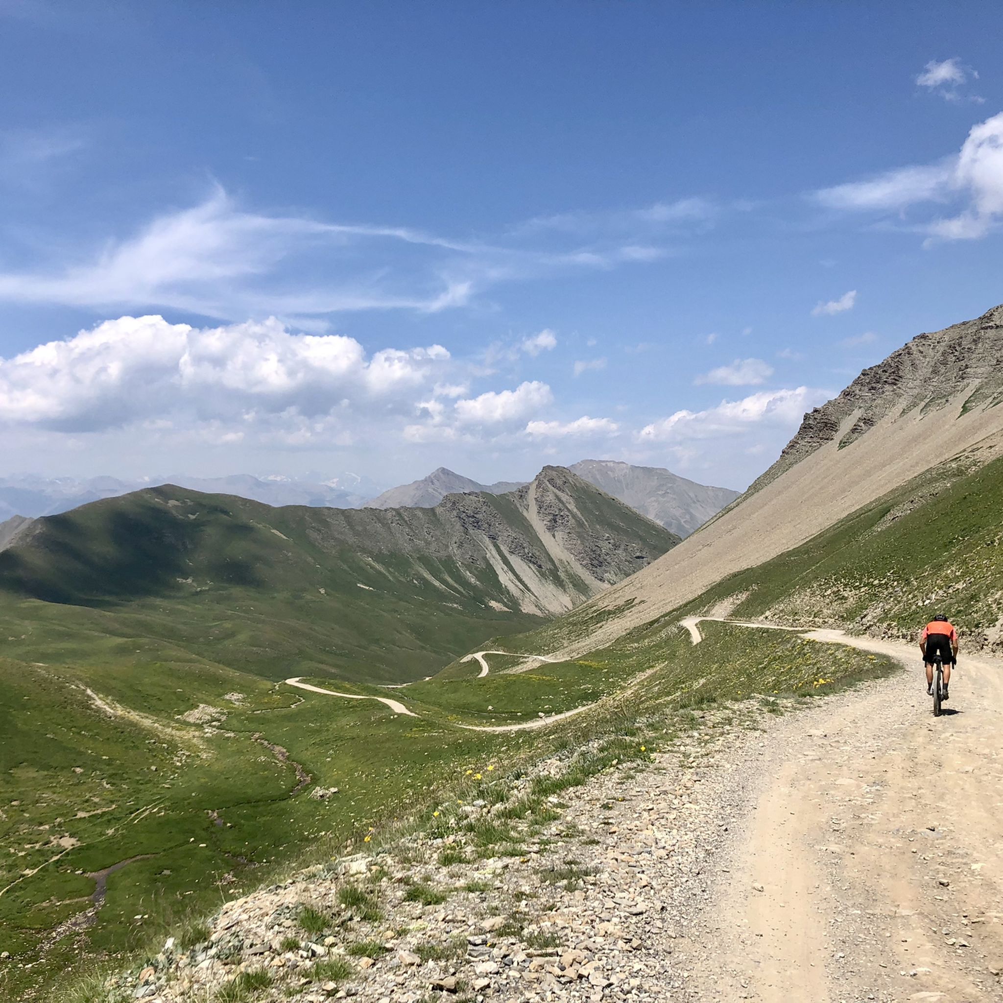
Hard mountain bike ride. Very good fitness required. Advanced riding skills necessary. Some portions of the route may require you to push your bike.

4.3
(12)
55
riders
44.5km
05:08
1,620m
1,620m
Hard mountain bike ride. Very good fitness required. Advanced riding skills necessary. Some portions of the route may require you to push your bike.
5.0
(3)
25
riders
Hard mountain bike ride. Good fitness required. Advanced riding skills necessary. Some portions of the route may require you to push your bike.
5.0
(2)
22
riders
13.8km
00:56
170m
180m
Easy mountain bike ride. Great for any fitness level. Suitable for all skill levels.
Get access to more routes and recommendations from other explorers.
Already have an account?
Our route recommendations are based on thousands of hikes, rides, and runs completed by other people on komoot.
Start today with a free account
Your next adventure awaits.

Tips from the Community

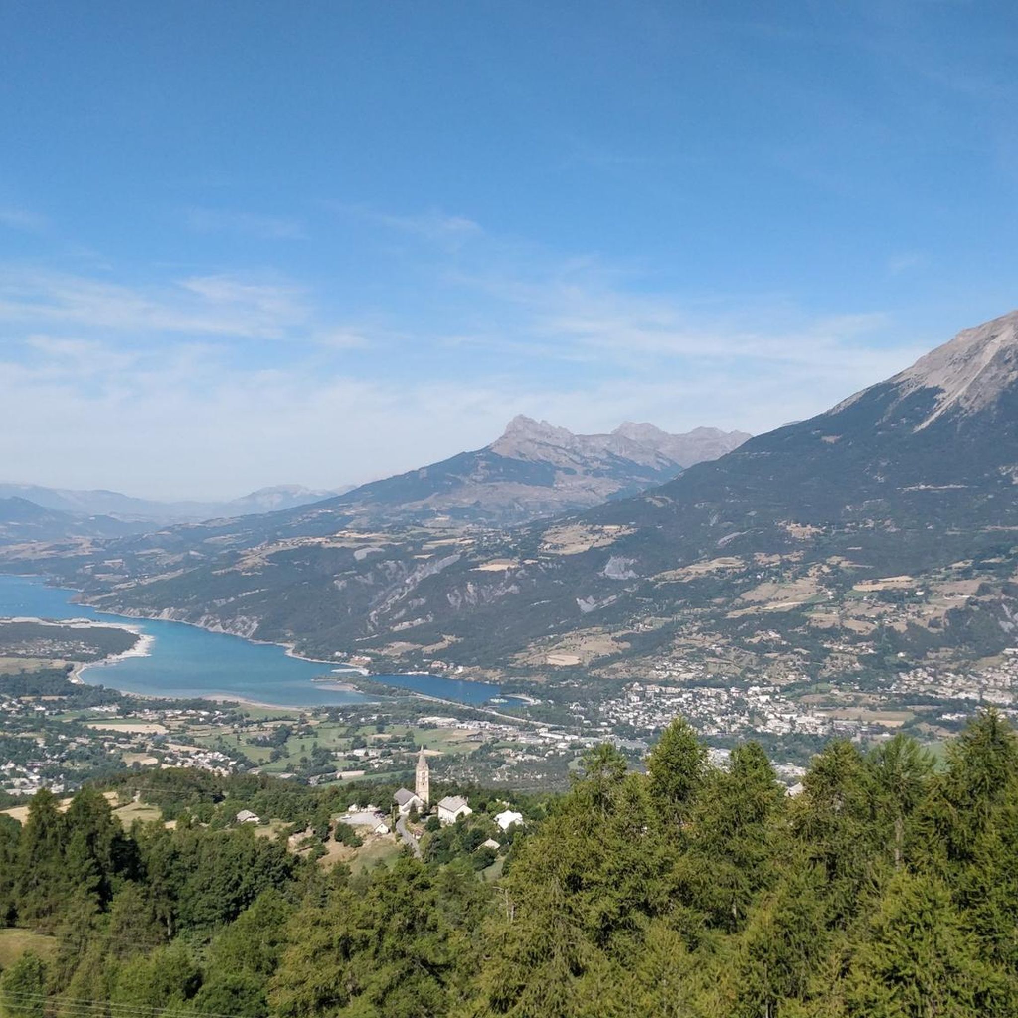
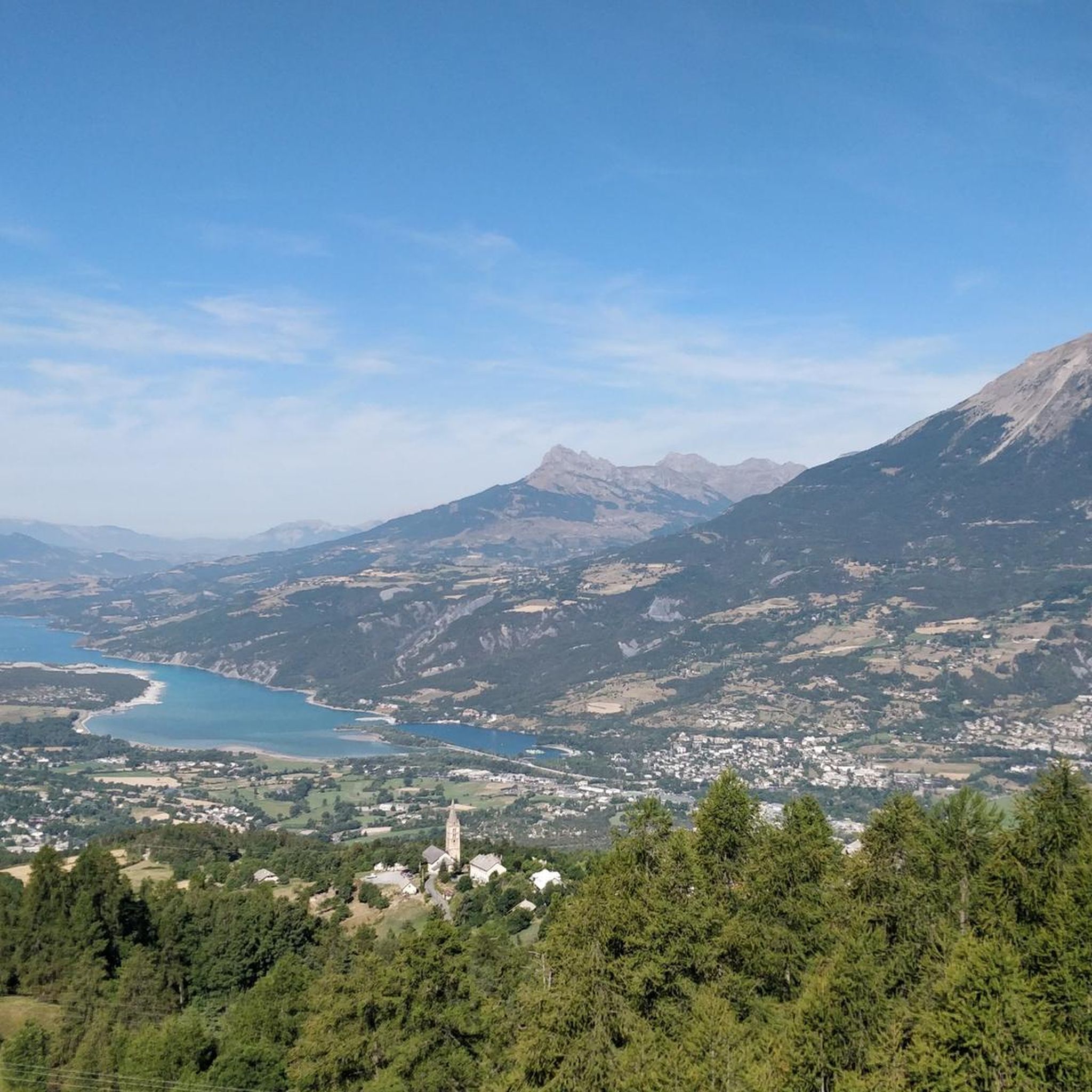
Beautiful views, although the water level of this lovely lake has dropped a lot lately. It's a shame to see it compared to 10 years ago.
0
0


Lake Serre-Ponçon, located on the border between the departments of Hautes-Alpes and Alpes-de-Haute-Provence, is the largest artificial lake in mainland France and the second largest in Europe. Created by a huge dam in the 20th century, it offers turquoise waters, sunny beaches and a rich history. Explore the Muséoscope du Lac to discover how the dam was built and transformed the landscape and the lives of the inhabitants.
0
0
picturesque stroll with magnificent views of Lake Serre-Ponçon. It winds through unspoilt nature, offering walkers the opportunity to relax and enjoy the surrounding tranquility. The trail is ideal for walking, cycling or just admiring the peaceful scenery.
0
0

You can also ride a road bike.
0
0

This church was not dedicated to one of the many people whom we venerate as blessed or saints and ask for their heavenly intercession with God, or - like so many French churches - to the Mother of God ("Notre-Dame"). The chosen patronage here was the incarnate Son of God, Jesus Christ himself, and this church was consecrated to him under the title “SAINT SAUVEUR” – i.e. as the Redeemer and Savior (Latin: “Salvator”).
2
1

Breathtaking view of Embrun after a demanding climb!
1
0

Les Orres ski resort is located at an altitude of 1650m. The climb is 15.3 km long with 887 meters of elevation gain, with an average gradient of 5.85%.
2
0
Frequently Asked Questions
How many mountain bike trails are available around Saint-Sauveur?
There are over 150 mountain bike trails around Saint-Sauveur, offering a wide range of options for different skill levels. The komoot community has explored over 4000 routes in the area.
Are there easy mountain bike trails suitable for beginners in Saint-Sauveur?
Yes, Saint-Sauveur offers a selection of trails suitable for beginners. There are 20 easy mountain bike routes, perfect for those new to the sport or looking for a more relaxed ride. These trails typically feature less challenging terrain and elevation changes.
What kind of terrain can I expect on mountain bike trails in Saint-Sauveur?
The mountain bike trails around Saint-Sauveur feature a diverse landscape with significant elevation changes, river valleys, and panoramic viewpoints. You'll encounter varied terrain, including challenging climbs and descents, often with scenic views of the Durance River and Lac d'Embrun.
Are there any loop mountain bike trails in Saint-Sauveur?
Yes, many mountain bike trails in Saint-Sauveur are designed as loops, allowing you to start and end at the same point. For example, the Descente vers Baratier – Durance Bridge loop from Crots is a moderate 9.9-mile (16.0 km) route offering scenic views.
What are some of the longer mountain bike trails in the Saint-Sauveur area?
For longer rides, Saint-Sauveur offers several options. The View of Embrun – Croty Ridge Viewpoint loop from Saint-Sauveur is a difficult 25.0-mile (40.2 km) trail, while the Méale Loop Trail covers 20.9 miles (33.7 km) with substantial elevation gain.
Are there any family-friendly mountain bike trails in Saint-Sauveur?
While many trails in Saint-Sauveur feature significant elevation changes, there are easier routes that can be more suitable for families. Look for the 20 easy-rated trails, which generally offer a less strenuous experience. Always check the route details for specific difficulty and terrain before heading out with children.
What interesting sights or natural attractions can I see along the mountain bike trails?
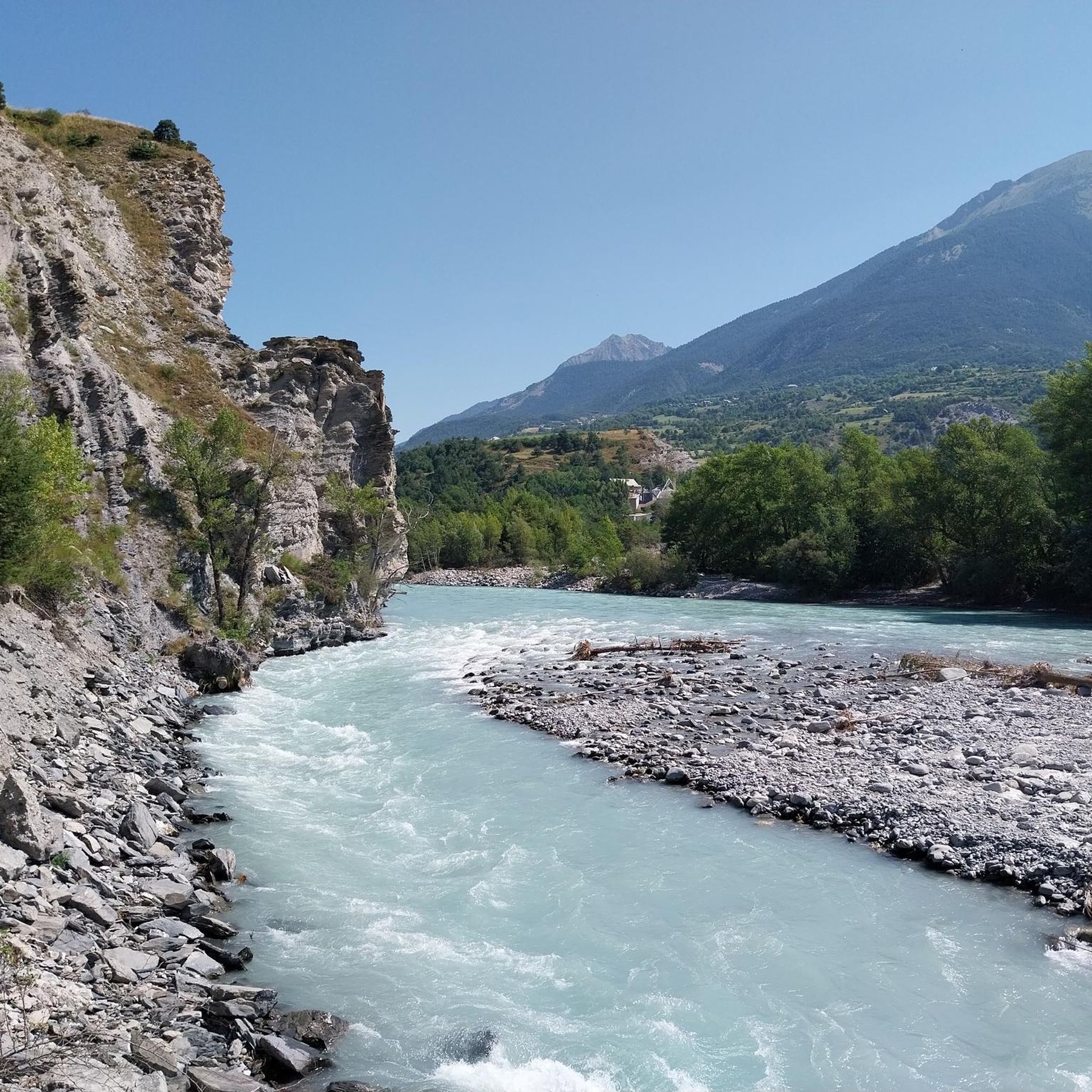
Many trails offer stunning views of the Durance River and Lac d'Embrun. You can also find natural attractions like the Costeplane Waterfalls or the Jerusalem Spring. For panoramic vistas, consider routes passing by viewpoints such as Risoul or Homme de Pierre Viewpoint.
What do other mountain bikers say about the trails in Saint-Sauveur?
The mountain bike trails in Saint-Sauveur are highly rated by the komoot community, with an average score of 4.5 stars from over 450 reviews. Riders often praise the diverse terrain, challenging climbs, and the stunning views of the Durance River and Lac d'Embrun.
Are there advanced mountain biking trails for experienced riders?
Absolutely. Saint-Sauveur is well-suited for experienced riders seeking endurance challenges and technical sections. There are 73 difficult-rated trails, such as the View of Embrun – Single engaged on balcony loop from Crots, which feature significant elevation gains and demanding terrain.
Are there any trails that offer views of Lac d'Embrun?
Yes, several routes provide excellent views of Lac d'Embrun. The Durance Bridge – View of Lac d'Embrun loop from Baratier - La Mure Petit Liou is a difficult 18.4-mile (29.6 km) trail specifically designed to showcase these scenic lake views.
What is the best time of year to go mountain biking in Saint-Sauveur?
The best time for mountain biking in Saint-Sauveur is typically from spring through autumn, when the weather is mild and trails are dry. The region's diverse landscape is particularly beautiful during these seasons, offering comfortable riding conditions and clear views.
Most popular routes around Saint-Sauveur
Most popular attractions around Saint-Sauveur

Get inspired with the komoot mobile app


Explore more
Browse the best MTB trails in other regions.
