The best walks and hikes around Alteckendorf
4.3
(205)
1,253
hikers
118
hikes
Hiking trails around Alteckendorf offer access to the diverse landscapes of the Northern Vosges Regional Nature Park, a UNESCO World Biosphere Reserve. The region features extensive forests, undulating hills, and open countryside, providing varied terrain for outdoor activities. Gentle slopes characterize the Northern Vosges Mountains, making them accessible for different hiking abilities. Panoramic views of the Rhine plain are also available from elevated points within the broader area.
Best hiking trails around Alteckendorf
- The most popular hiking route is The…
Last updated: October 9, 2026
3.3
(4)
34
hikers
7.77km
02:11
150m
150m
Moderate hike. Good fitness required. Easily-accessible paths. Suitable for all skill levels.
3.0
(4)
11
hikers
6.24km
01:40
70m
70m
Easy hike. Great for any fitness level. Easily-accessible paths. Suitable for all skill levels.

6
hikers
7.54km
01:58
60m
60m
Easy hike. Great for any fitness level. Easily-accessible paths. Suitable for all skill levels.
5.0
(1)
12
hikers
6.26km
01:36
20m
20m
Easy hike. Great for any fitness level. Easily-accessible paths. Suitable for all skill levels.
2
hikers
3.86km
01:03
60m
50m
Easy hike. Great for any fitness level. Easily-accessible paths. Suitable for all skill levels.
Get access to more routes and recommendations from other explorers.
Already have an account?
Our route recommendations are based on thousands of hikes, rides, and runs completed by other people on komoot.
Start today with a free account
Your next adventure awaits.


Tips from the Community

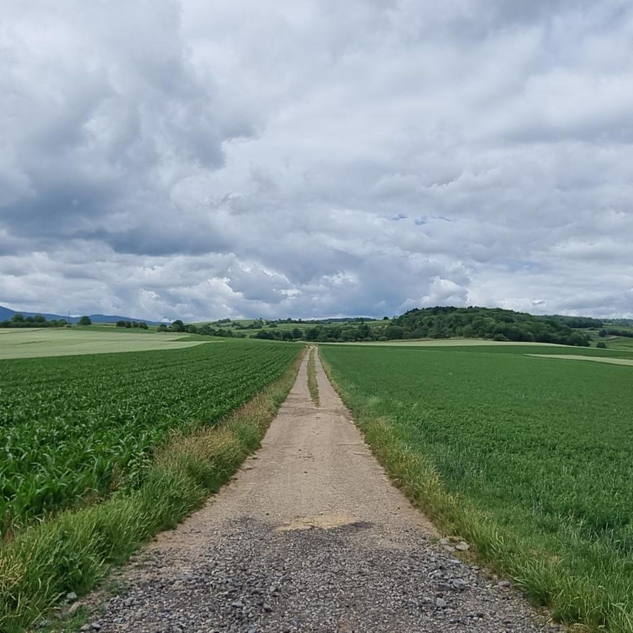
Nice path leading to the spring of Saint Ulrich
0
0

An Ulrich's fountain (also known as a little Ulrich's fountain, a little Ulrich's fountain, or a spring) is a spring sanctuary dedicated to Saint Ulrich of Augsburg. Ulrich's fountains are common in Austria, Bavaria, Swabia, and Alsace, where the saint was particularly venerated. The spring water is often said to have healing powers. Source: https://de.m.wikipedia.org/wiki/Ulrichsbrunnen
0
0

Here you will find an old Jesus Cross dating from 1767. It was probably erected by Mathiä Weber and Maria Diebolt.
0
0

Buswiller (German: Büsweiler) is a French commune with 286 inhabitants (as of January 1, 2021) in the Bas-Rhin department in the Grand Est region (until 2015, Alsace). On August 26, 1961, the spelling was changed from Bueswiller to Buswiller. (Source: Wikipedia)
3
0

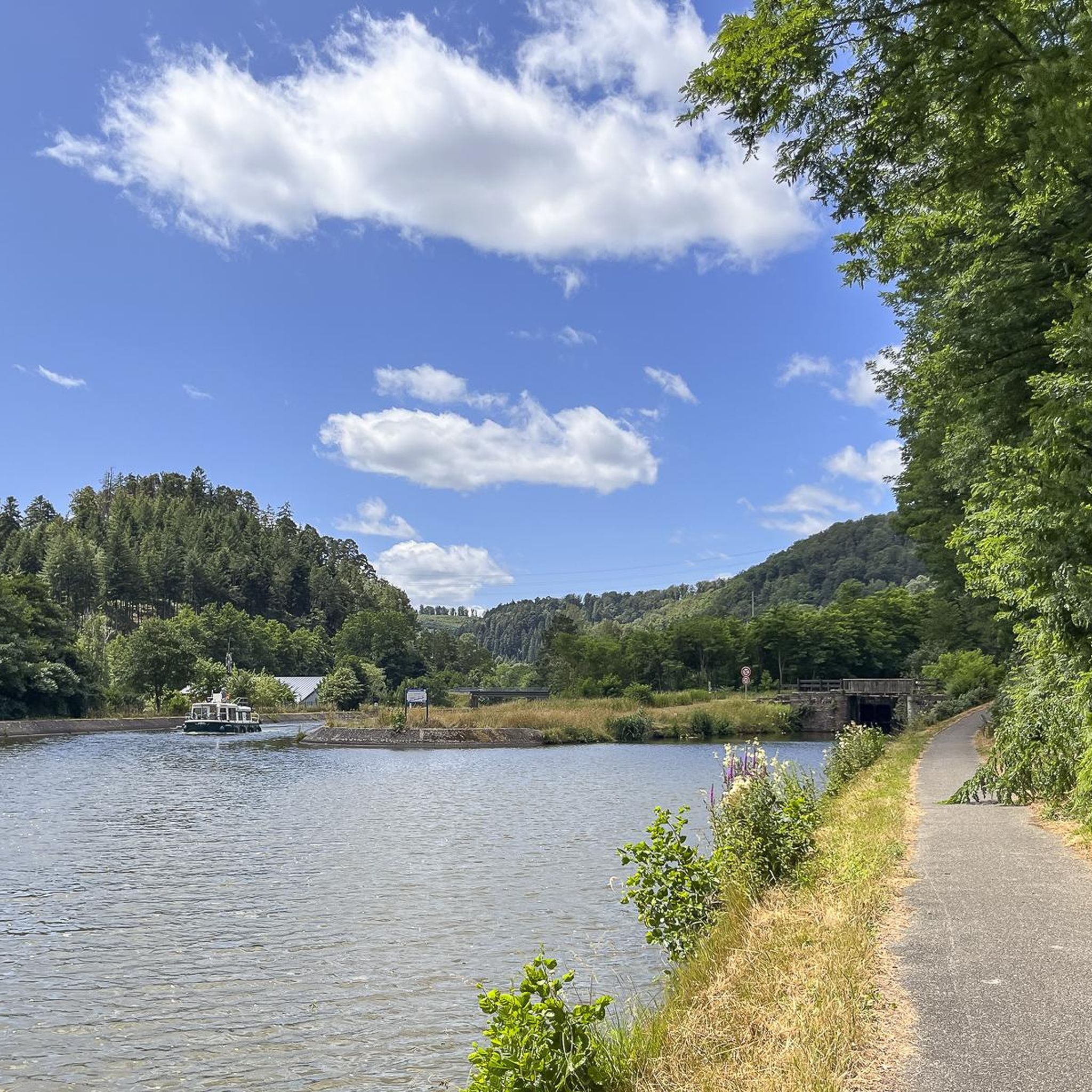
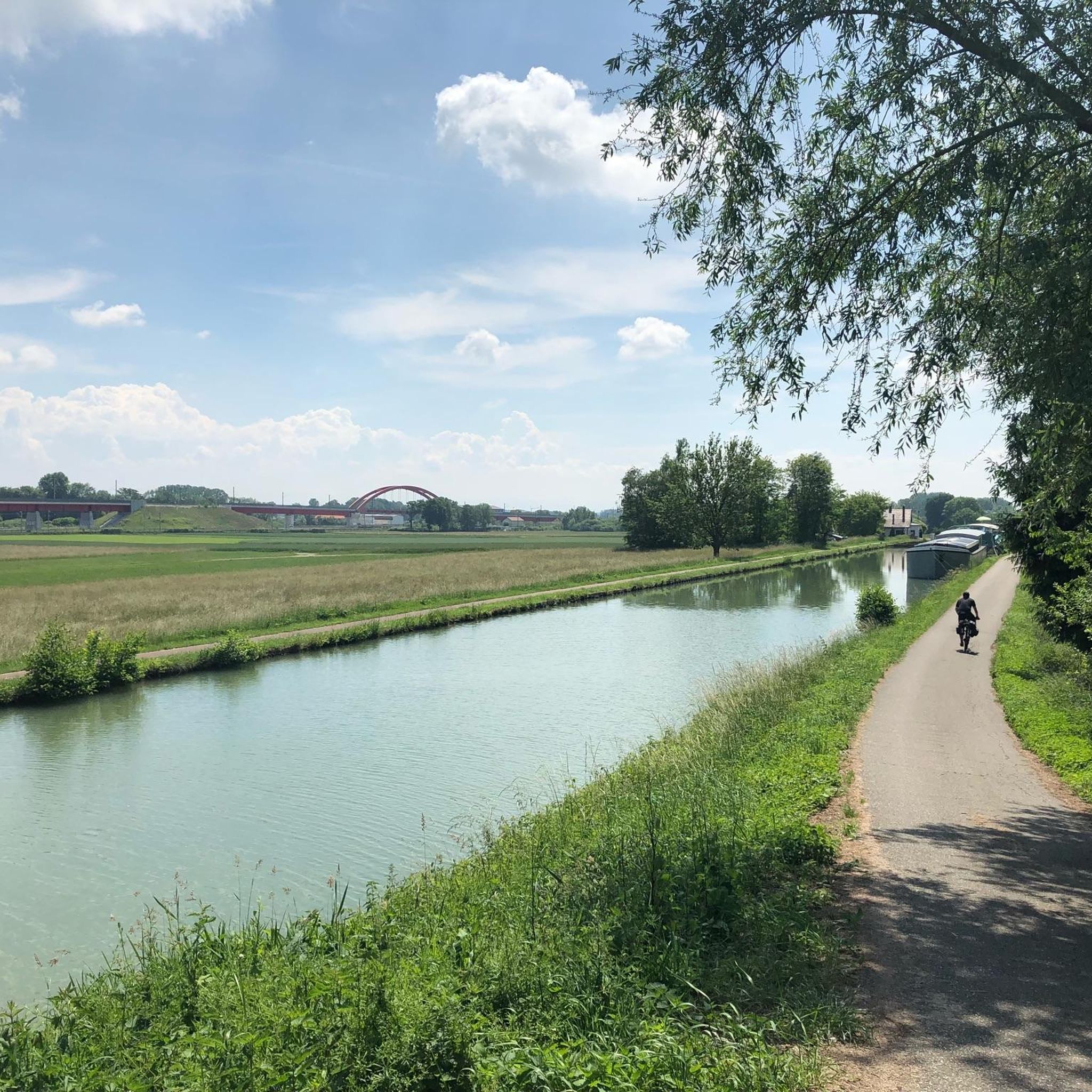
Very well developed cycle path along the canal.
3
0


Frequently Asked Questions
How many hiking trails are available around Alteckendorf, and what are their difficulty levels?
There are over 90 hiking trails around Alteckendorf. The majority cater to a wide range of abilities, with 45 easy routes and 48 moderate routes. For those seeking a greater challenge, there are also 3 difficult trails available.
What kind of landscapes will I encounter on hikes near Alteckendorf?
Hiking around Alteckendorf offers a diverse range of landscapes, primarily defined by its proximity to the Northern Vosges Regional Nature Park. You'll find extensive forests, undulating hills, and open countryside. The Northern Vosges Mountains are known for their gentle, easy-to-climb slopes, leading into verdant forests and lush scenery.
Are there any family-friendly hiking options in Alteckendorf?
Yes, Alteckendorf offers many family-friendly hiking options, particularly among its 45 easy routes. These trails often feature gentle slopes and pleasant scenery, making them suitable for all ages. An example is the View of Kirrwiller – Sunflower fields loop from Ringendorf, an easy 6.2 km path through open fields.
Can I find circular hiking routes around Alteckendorf?
Yes, many of the trails around Alteckendorf are circular, offering convenient starting and ending points. For instance, the popular The Winegrowers' Shelter – Geiersberg loop from Ringeldorf is a moderate 7.8 km circular route traversing vineyards and gentle hills.
What historical or cultural landmarks can I see while hiking in the area?
Beyond natural beauty, the region around Alteckendorf is rich in history. You can encounter historical markers like the Cross of Jesus from 1767 – Siurce st Ulrich loop from Huttendorf. The broader Northern Vosges area also features fortified castles such as Fleckenstein Castle and Lichtenberg Castle, and picturesque villages with traditional half-timbered houses.
Are there any viewpoints offering panoramic vistas?
Yes, from elevated points within the broader Northern Vosges area, you can find impressive observation towers that provide breathtaking views, including panoramic vistas of the Rhine plain. The region's rolling hills also offer numerous scenic outlooks.
What do other hikers say about the trails in Alteckendorf?
The hiking trails around Alteckendorf are highly rated by the komoot community, with an average score of 4.3 stars from over 150 reviews. Hikers often praise the diverse terrain, ranging from extensive forests to open countryside, and the well-maintained paths that cater to various ability levels.
Is it possible to access the hiking trails using public transport?
While specific public transport options directly to every trailhead may vary, Alteckendorf is situated in a region with various villages. It is advisable to check local bus schedules or regional train connections to nearby towns like Haguenau, which can serve as a starting point for exploring the wider network of trails.
Are there specific trails that pass through sunflower fields?
Yes, during the appropriate season, you can find trails that lead through beautiful sunflower fields. An example is the Sunflower fields – Buswiller loop from Ringendorf, an easy 5.9 km route that offers scenic views of these vibrant fields.
What is the best time of year to go hiking around Alteckendorf?
The gentle slopes and diverse landscapes around Alteckendorf make it suitable for hiking across multiple seasons. Spring and autumn offer pleasant temperatures and vibrant scenery, with blooming flowers or colorful foliage. Summer is also popular, especially in the shaded forest areas. Winter hiking is possible, though conditions may vary.
Are there any easy routes suitable for beginners?
Absolutely. Alteckendorf has 45 easy routes, perfect for beginners or those looking for a relaxed walk. These trails typically have minimal elevation gain and well-defined paths. The Restaurant Le 1919 loop from Schwindratzheim is an easy 6.2 km route with very little elevation change, ideal for a leisurely stroll.
Where can I find places to rest or facilities along the trails?
While specific facilities vary by trail, the region includes various villages and towns where you can find amenities. Some routes may pass by designated rest areas, such as the Rest area near Alteckendorf. For more substantial stops, consider routes that lead through or near villages.
Most popular routes around Alteckendorf
Most popular attractions around Alteckendorf

Get inspired with the komoot mobile app


Explore more
Browse the best Hikes in other regions.
