The best walks and hikes around Le Mont-Saint-Michel
4.6
(1224)
13,044
hikers
20
hikes
Hiking trails around Le Mont-Saint-Michel primarily traverse the flat, coastal plains and the tidal estuary of the Couesnon River. The landscape is characterized by open fields, river dikes, and marshlands, offering expansive views of the iconic Mont-Saint-Michel. Elevation changes are minimal, making many routes accessible for various fitness levels. The area's unique geography, influenced by the tides, provides a distinct environment for exploration.
Best hiking trails around Le Mont-Saint-Michel
- The most popular hiking route is The dam on the Couesnon – Pont d'Orson loop from Beauvoir, a 10.7 miles (17.2 km) trail that takes 4 hours 20 minutes to complete. This moderate route offers continuous views across the bay towards Mont-Saint-Michel.
- Another top favourite among local hikers is The Couesnon at Beauvoir – Couesnon dike loop from Barrage du Mont Saint-Michel, an easy 3.4 miles (5.5 km) path. This trail follows the river dike, providing close-up perspectives of the Couesnon and its surroundings.
- Local hikers also love the View of Mont Saint-Michel – The dam on the Couesnon loop from Ferme Foucault, a 7.1 miles (11.4 km) trail leading through the river plains, often completed in about 2 hours 52 minutes.
- Hiking around Le Mont-Saint-Michel is defined by coastal paths, river dikes, and panoramic viewpoints of the Mont. The network offers options for different ability levels, from easy family friendly walks to longer, moderate routes.
- The routes in Le Mont-Saint-Michel are highly rated by the komoot community with an average score of 4.6 stars from over 800 reviews. More than 9,000 hikers have used komoot to explore Le Mont-Saint-Michel's varied terrain.
Last updated: October 12, 2026
4.8
(172)
1,445
hikers
Moderate hike. Good fitness required. Easily-accessible paths. Suitable for all skill levels.
4.4
(20)
113
hikers
Moderate hike. Good fitness required. Easily-accessible paths. Suitable for all skill levels.

4.4
(12)
233
hikers
Easy hike. Great for any fitness level. Easily-accessible paths. Suitable for all skill levels.
4.5
(6)
20
hikers
Moderate hike. Good fitness required. Easily-accessible paths. Suitable for all skill levels.
4.5
(6)
14
hikers
6.18km
01:34
10m
10m
Easy hike. Great for any fitness level. Easily-accessible paths. Suitable for all skill levels.
Get access to more routes and recommendations from other explorers.
Already have an account?
Our route recommendations are based on thousands of hikes, rides, and runs completed by other people on komoot.
Start today with a free account
Your next adventure awaits.
Popular around Le Mont-Saint-Michel
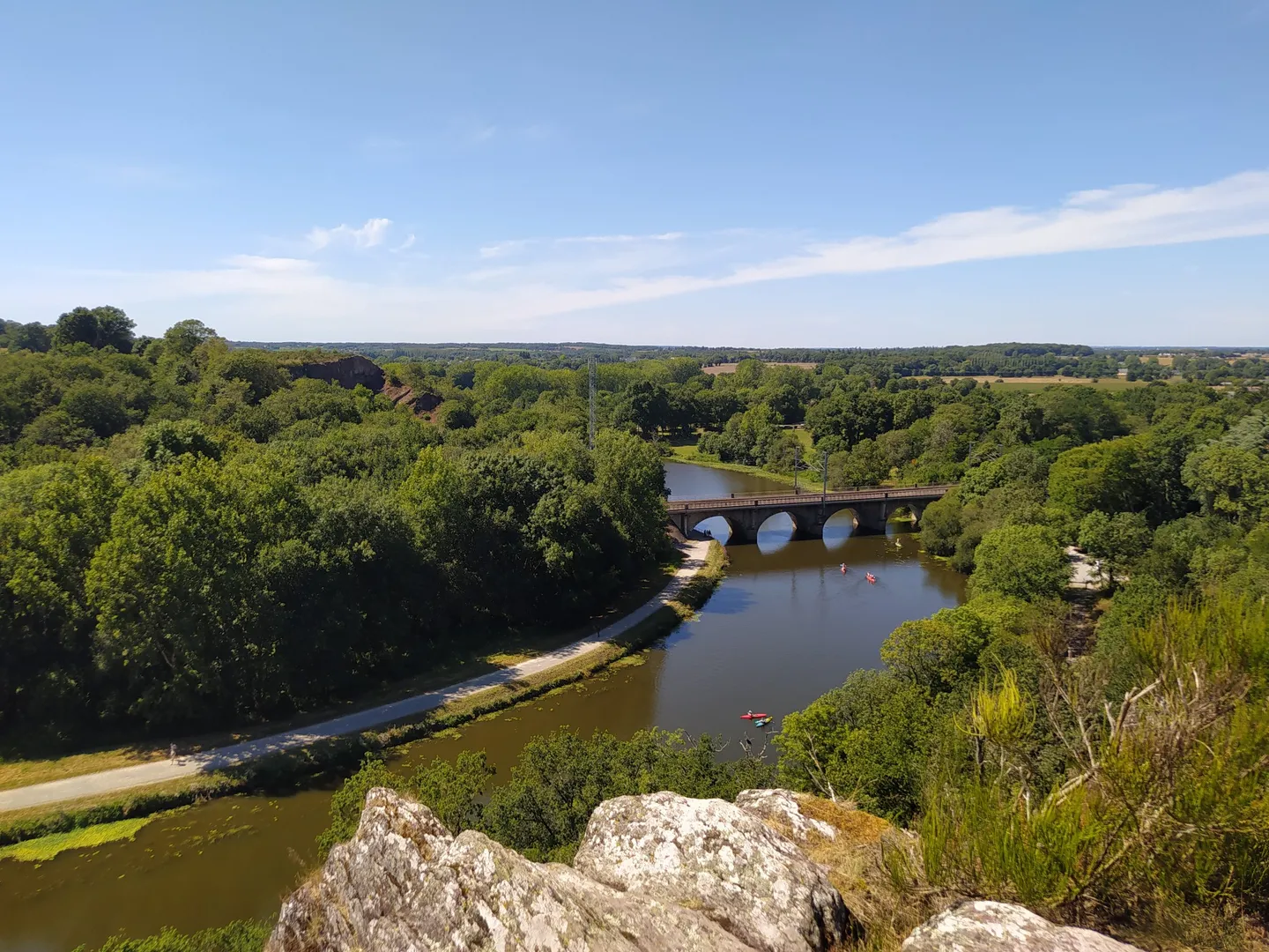
The GR 39 — On the historical traces of Brittany
The Customs Officers’ Path – GR 34 between Saint-Malo and Pontorson
History and gastronomy - La Régalante
Coastlines of the English Channel — Tour de Manche
Cycling around Le Mont-Saint-Michel
MTB Trails around Le Mont-Saint-Michel
Running Trails around Le Mont-Saint-Michel
Road Cycling Routes around Le Mont-Saint-Michel

Gravel biking around Le Mont-Saint-Michel
Other adventures around Le Mont-Saint-Michel


Tips from the Community

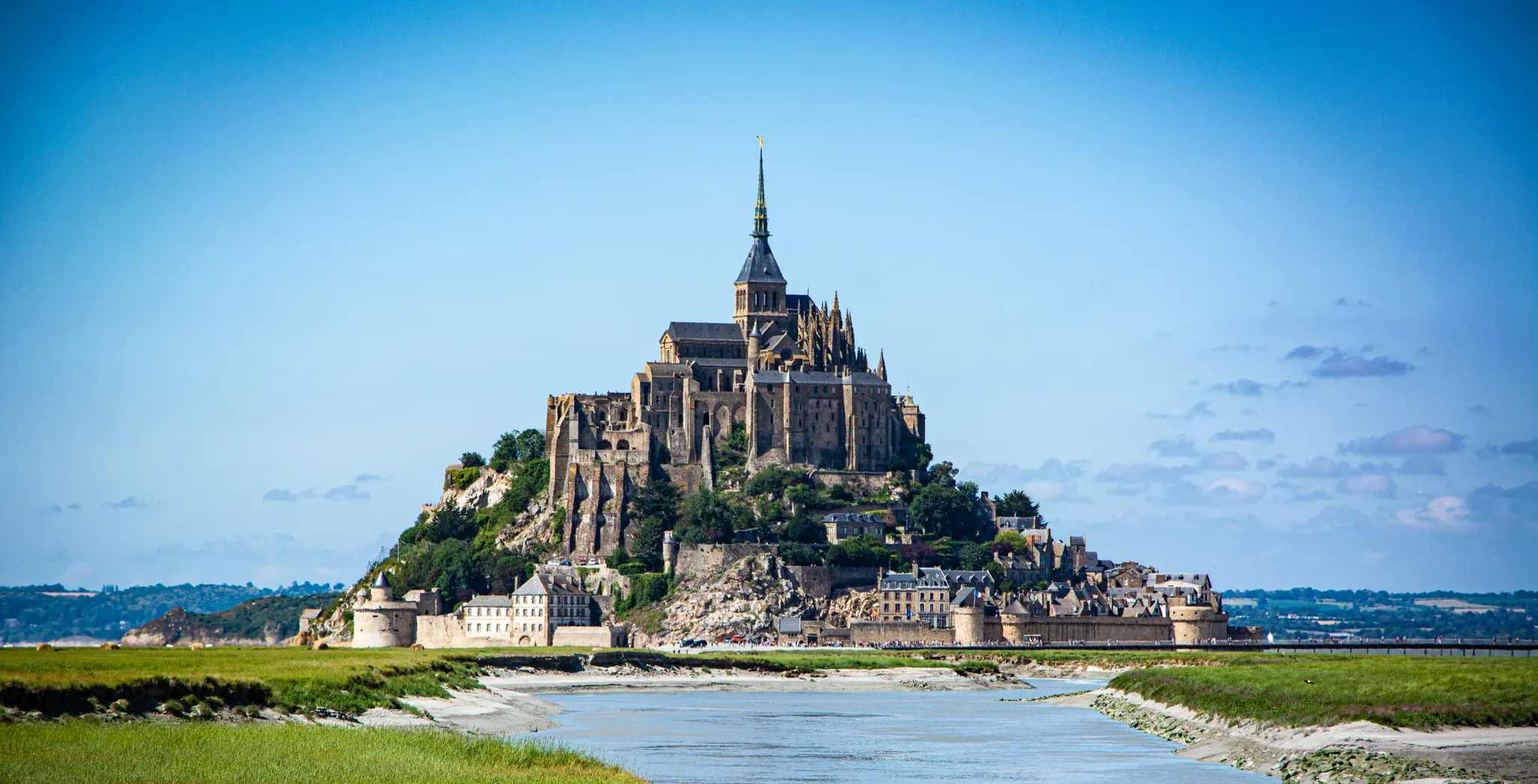
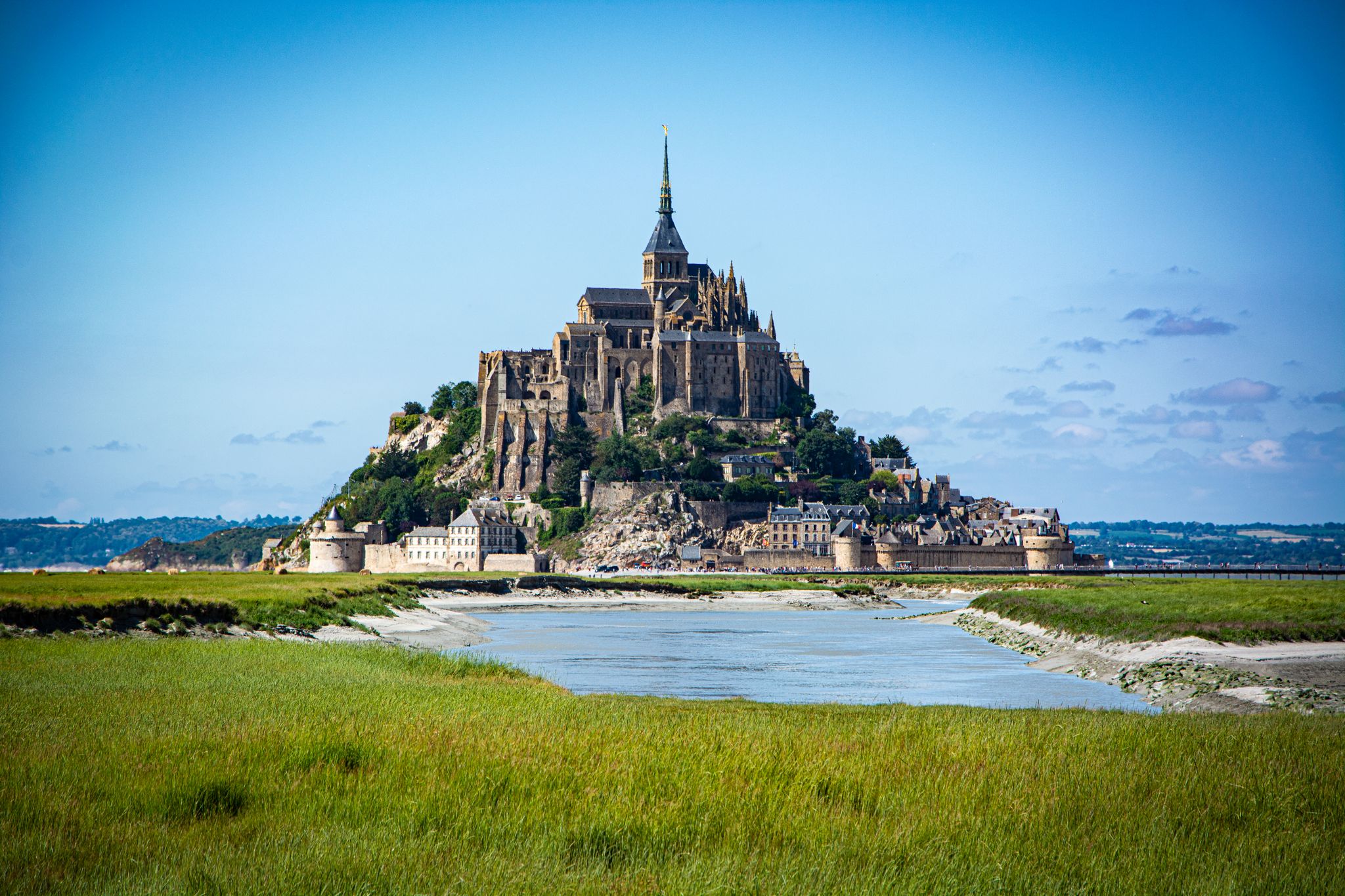
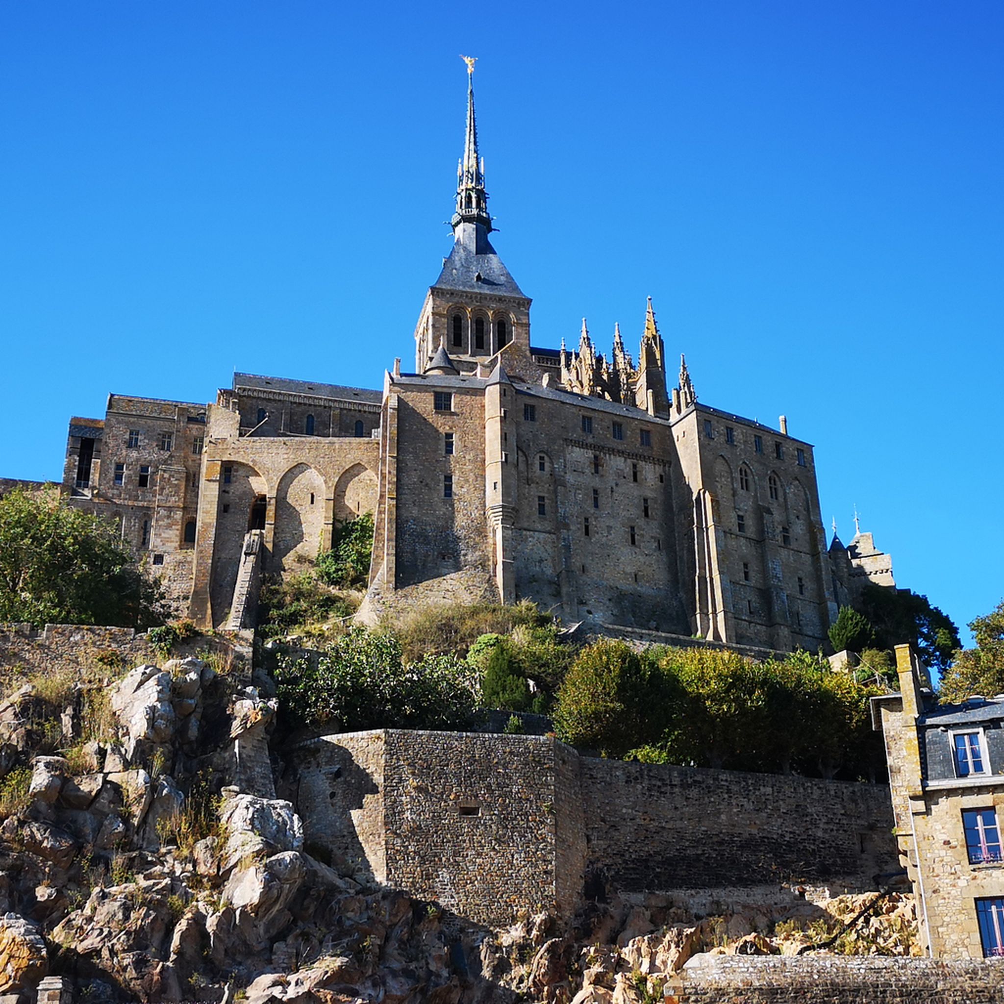
Mont-Saint-Michel is a world-famous rocky island and commune on the border between Normandy and Brittany in France. Crowned by a monumental, medieval Benedictine abbey, this architectural marvel has been a UNESCO World Heritage site since 1979. The bay of the mount is also known for Europe's strongest tides, with a tidal range of up to 14 meters.
2
0

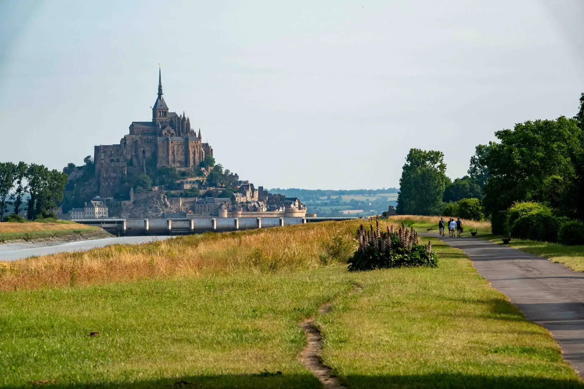
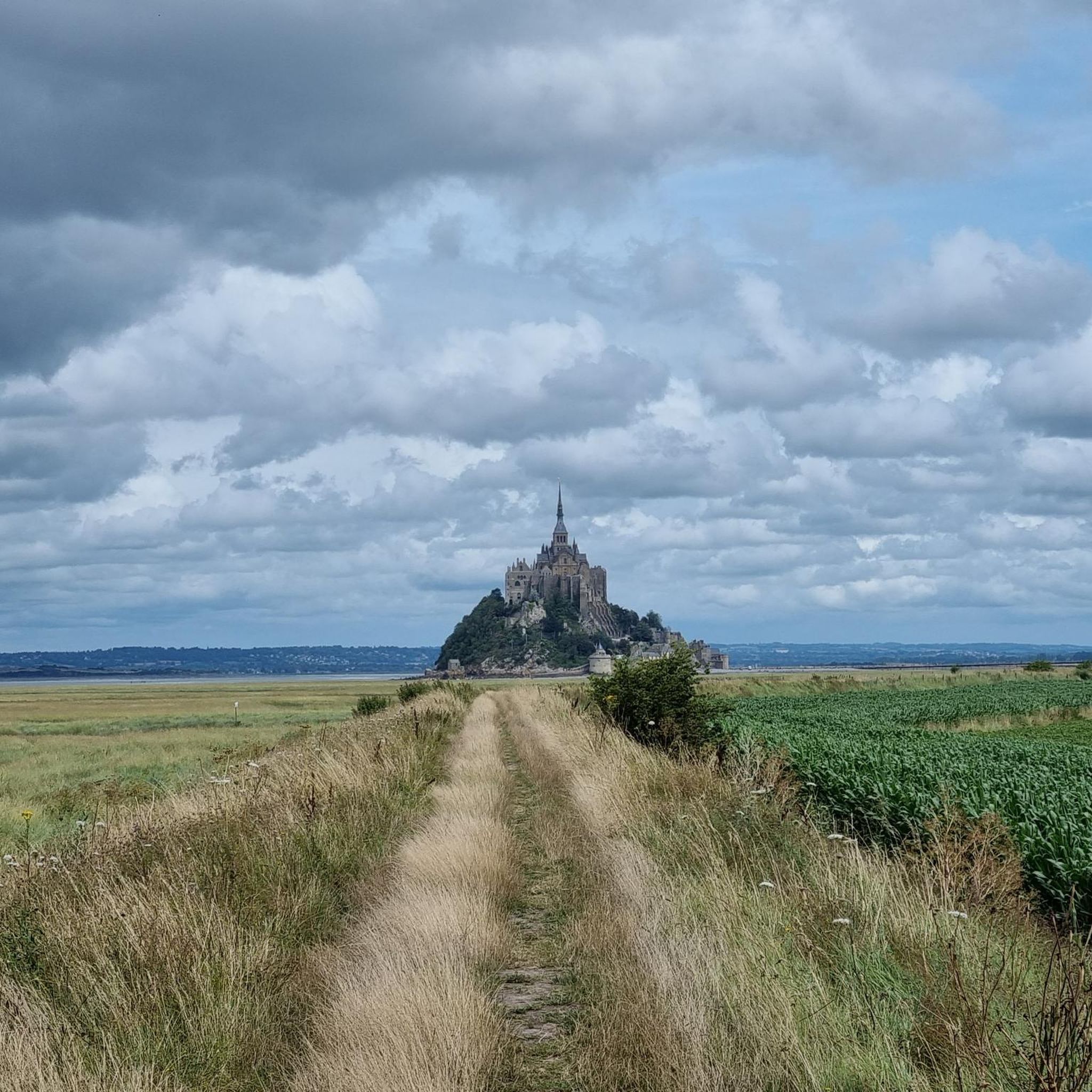
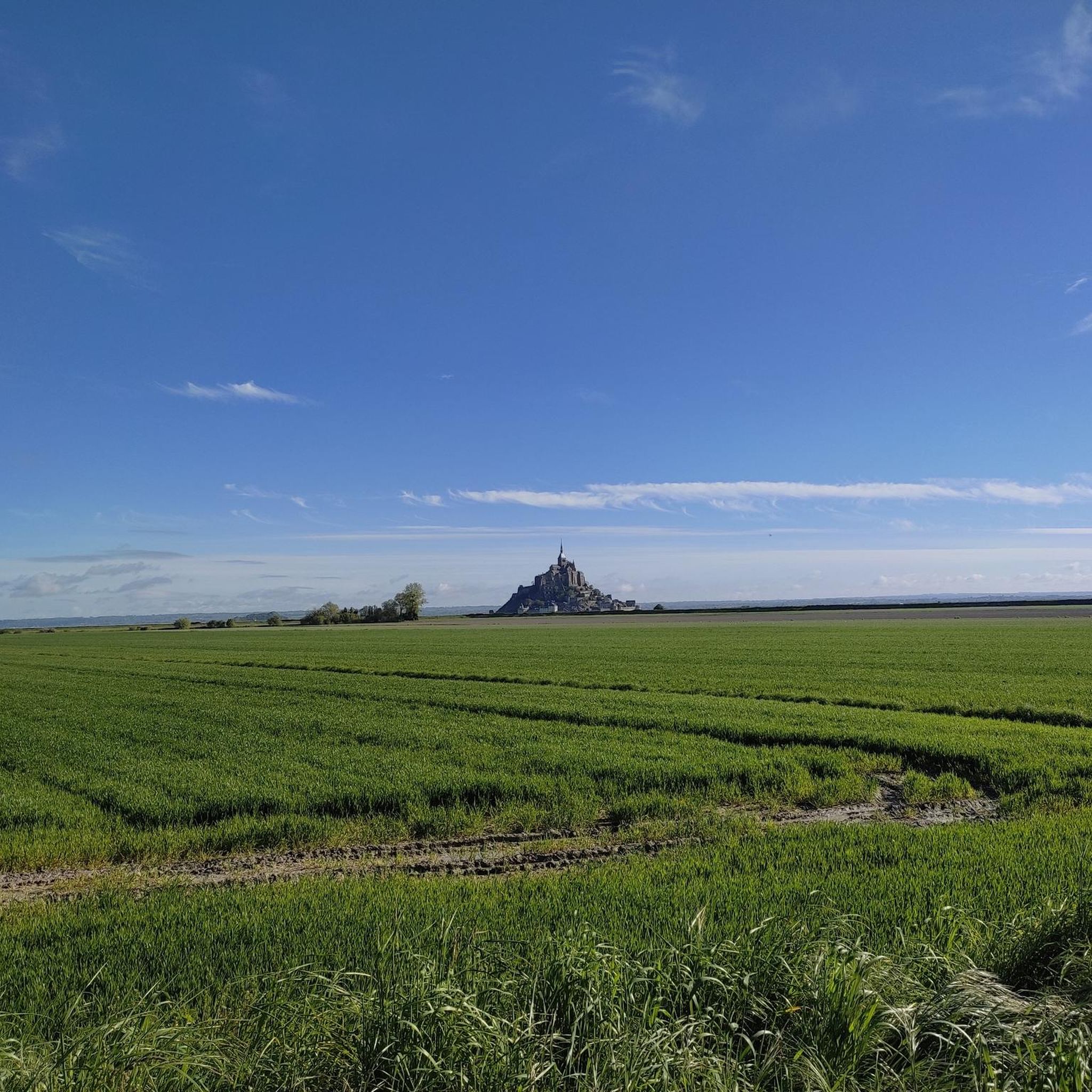
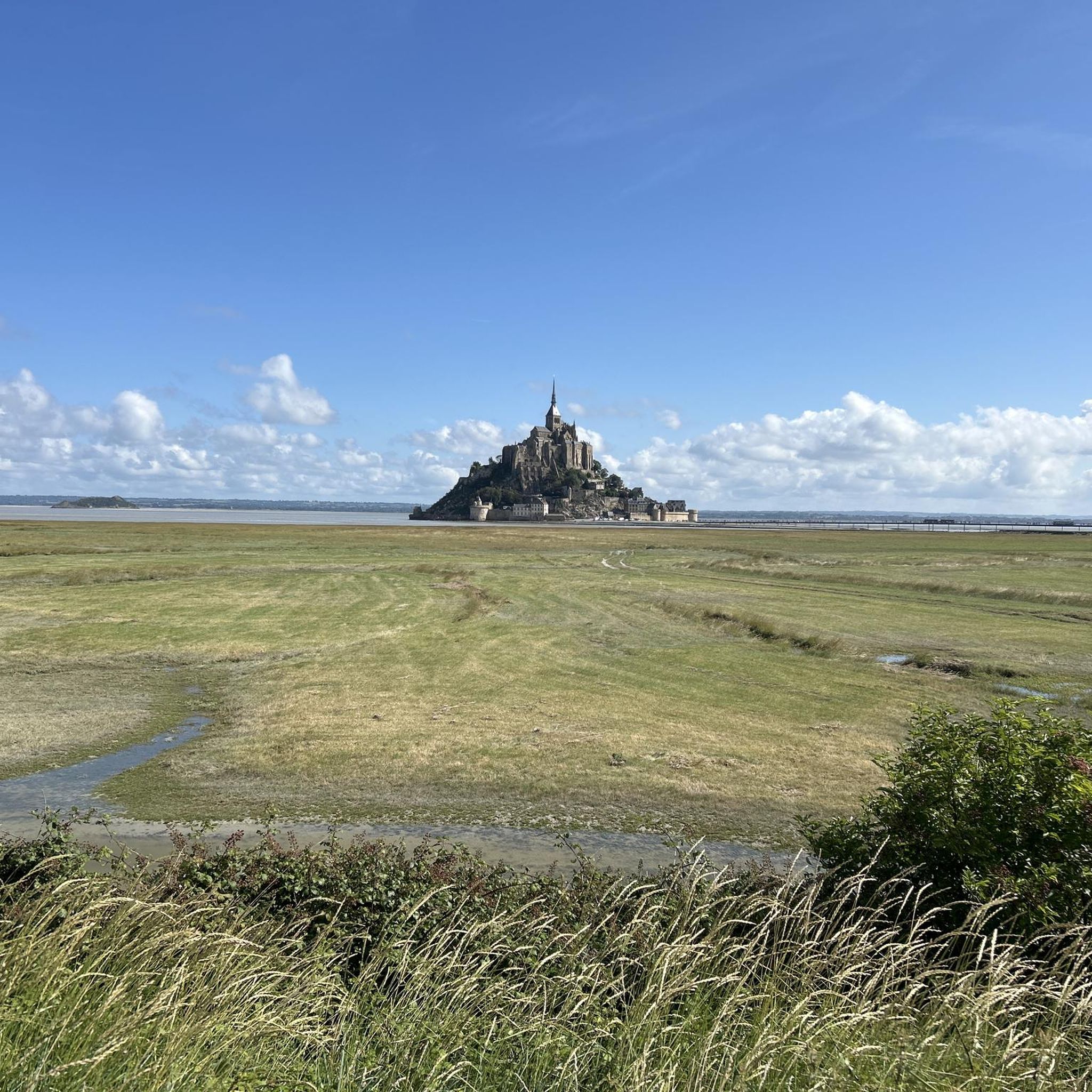
The footpath along the Couesnon to the dam already offers an impressive view of Mont-Saint-Michel. From here, the path with an unobstructed view leads across the salt marshes and the bay, with the landmark of Normandy impressively rising against the wide landscape. Especially in calm weather and with changing light, atmospheric views emerge of Mont-Saint-Michel, the course of the Couesnon river, and the tide-shaped surroundings.
13
0
The Couesnon dam (Barrage du Couesnon) was completed in 2009 and is part of the measures to preserve the bay of Mont-Saint-Michel. The facility regulates the water flow of the Couesnon and supports the natural removal of sediments by the tides. This is intended to counteract the increasing silting up of the bay and preserve the special character of Mont-Saint-Michel as a tidal island. The dam also offers a popular viewpoint with a view of Mont-Saint-Michel and the surrounding salt marshes.
3
0
The weir on the river **Couesnon** in front of Mont-Saint-Michel is part of a major project to restore its original island character. It regulates the flow of the Couesnon and helps transport sediment deposited in the bay back out to sea. At the same time, the structure is a popular promenade and viewpoint with an impressive view of Mont-Saint-Michel and the tide-shaped landscape.
36
0

From there it looks the strongest !!!
2
0

Practical for going to Pontorson station
0
0


If there's a remarkable site that's worth a detour, it's Mont St Michel!
2
0
Frequently Asked Questions
How many hiking trails are available around Le Mont-Saint-Michel?
There are over 20 hiking trails around Le Mont-Saint-Michel, offering a variety of options for different skill levels. The komoot community has rated these routes highly, with an average score of 4.6 stars.
Are there easy hiking trails suitable for beginners or families?
Yes, the region is very family-friendly, with 17 easy routes available. A great option is The Couesnon at Beauvoir – Couesnon dike loop from Barrage du Mont Saint-Michel, an easy 3.4-mile (5.5 km) path that follows the river dike, offering close-up perspectives of the Couesnon.
What kind of terrain can I expect on hikes around Le Mont-Saint-Michel?
Hiking trails primarily traverse flat, coastal plains and the tidal estuary of the Couesnon River. The landscape features open fields, river dikes, and marshlands, providing expansive views of the iconic Mont-Saint-Michel. Elevation changes are minimal, making many routes accessible for various fitness levels.
Are there any circular hiking routes in the area?
Yes, many routes are designed as loops, allowing you to start and end at the same point. For example, the View of Mont Saint-Michel – The dam on the Couesnon loop from Beauvoir is an easy 3.9-mile (6.2 km) loop offering great views.
What are some notable landmarks or attractions I can see while hiking?
Beyond the iconic Mont Saint-Michel itself, you can explore the Couesnon at Beauvoir, walk across the Footbridge to Mont Saint-Michel, or visit the Saint Aubert Chapel. Many trails offer panoramic views, such as from Grouin du Sud.
What is the best season for hiking around Le Mont-Saint-Michel?
The region is enjoyable for hiking year-round, but spring and autumn offer pleasant temperatures and fewer crowds. Summer can be busy, especially around the Mont, while winter provides a unique, stark beauty, though some facilities might have reduced hours.
Are there less crowded hiking routes near Mont Saint-Michel?
To avoid the busiest areas, consider exploring routes slightly further from the immediate causeway or during off-peak hours. Trails that venture into the marshlands or along less-frequented sections of the dikes can offer more solitude while still providing views of the Mont.
What should I wear for hiking in the Le Mont-Saint-Michel area?
Given the coastal and open nature of the terrain, layers are recommended as weather can change quickly. Waterproof and windproof outer layers are advisable, especially outside of summer. Comfortable walking shoes are essential, and sun protection (hat, sunscreen) is important due to the lack of shade on many routes.
Are there any dog-friendly hiking trails?
Many of the dikes and coastal paths are suitable for dogs, provided they are kept on a leash, especially in areas with livestock or protected wildlife. Always check local signage for specific restrictions, particularly near nature reserves or the Mont-Saint-Michel itself.
Where can I find parking for hiking access?
Designated parking areas are available in towns surrounding Mont-Saint-Michel, such as Beauvoir, which serve as starting points for many trails. Some routes, like The dam on the Couesnon – Pont d'Orson loop from Beauvoir, explicitly start from these accessible locations.
Can I reach hiking trails by public transport?
Public transport options, including shuttle buses from parking areas to Mont-Saint-Michel, can provide access to the general vicinity. From there, many hiking trails are accessible on foot. Check local bus schedules for connections to nearby villages that serve as trailheads.
What do other hikers enjoy most about hiking in Le Mont-Saint-Michel?
The area is highly rated by the komoot community, with an average score of 4.6 stars from over 800 reviews. Reviewers often praise the continuous, breathtaking views of Mont-Saint-Michel, the unique tidal landscapes, and the accessibility of the flat paths for all fitness levels.
Most popular routes around Le Mont-Saint-Michel
Most popular attractions around Le Mont-Saint-Michel

Get inspired with the komoot mobile app


Explore more
Browse the best Hikes in other regions.
