The best walks and hikes around Saint-Carné
4.5
(611)
4,082
hikers
148
hikes
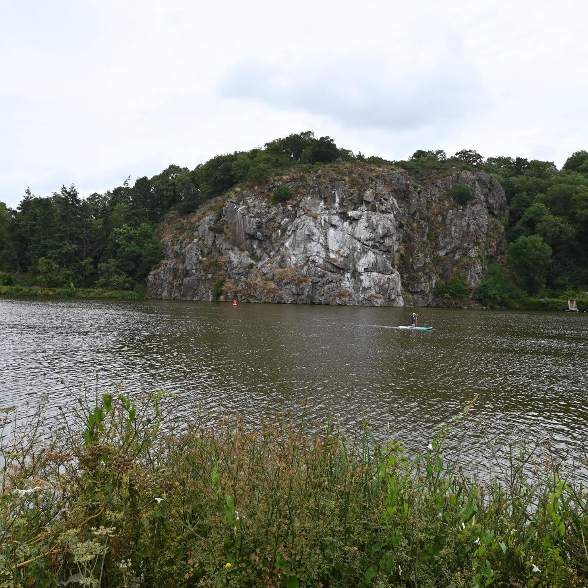
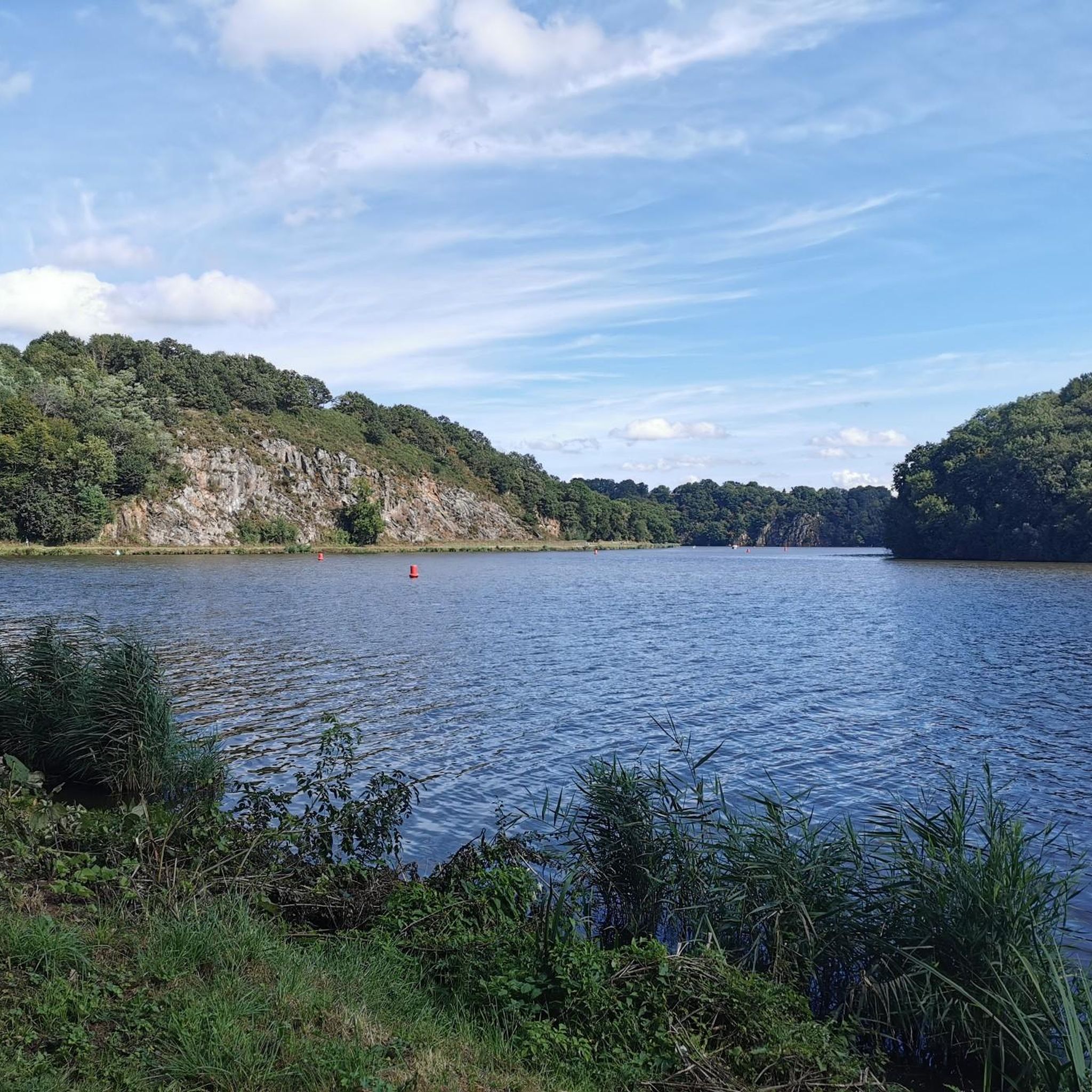
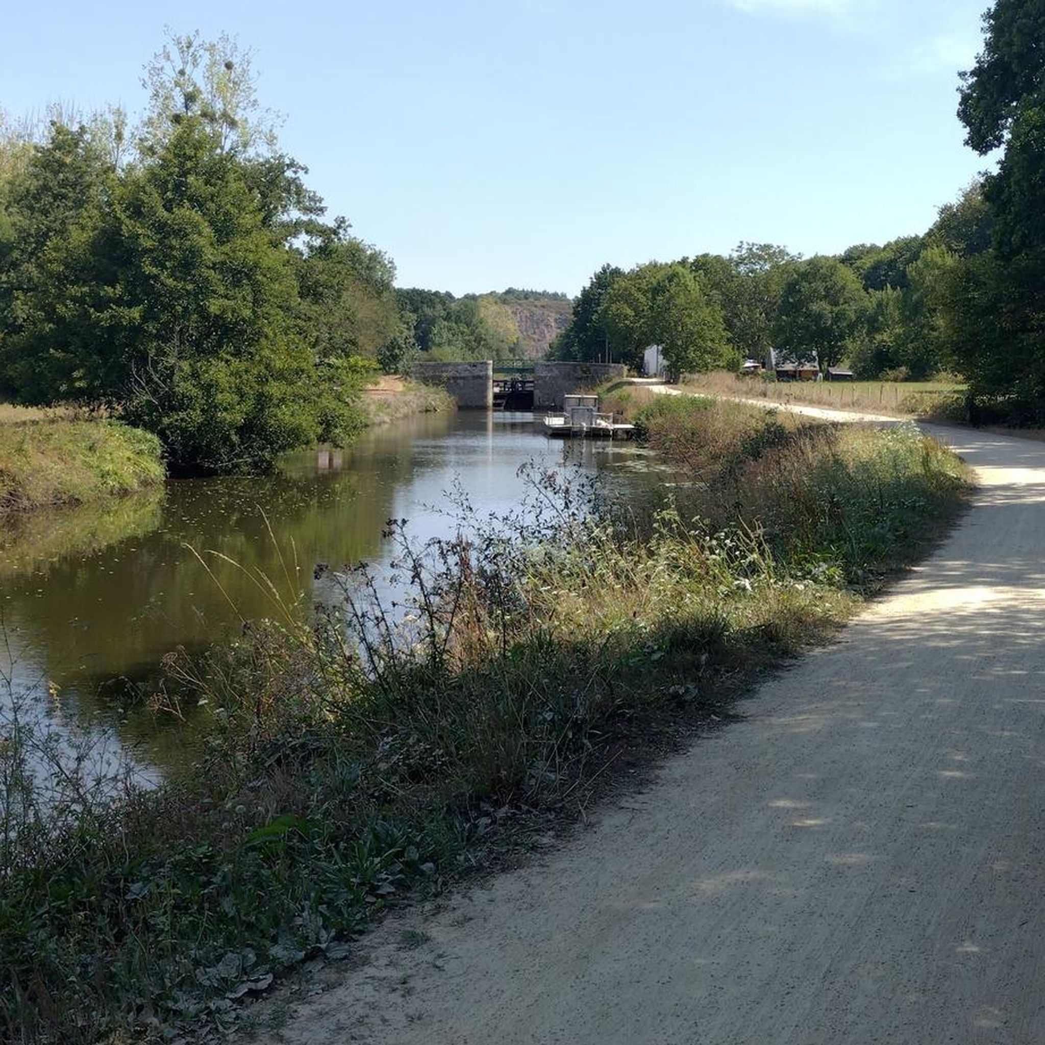
Hiking around Saint-Carné offers varied terrain, characterized by the Rance river valley and surrounding rolling hills. The region features a mix of open countryside, woodlands, and paths alongside waterways. Trails often connect historic towns and villages, providing diverse scenery for outdoor exploration. The landscape is generally accessible, with moderate elevation changes suitable for a range of hiking abilities.
Best hiking trails around Saint-Carné
- The most popular hiking route is Dinan – Dinan Harbour loop from Dinan, a 4.7 miles…
Last updated: May 23, 2026
4.6
(69)
398
hikers
7.90km
02:10
130m
130m
Moderate hike. Good fitness required. Easily-accessible paths. Suitable for all skill levels.
4.5
(8)
29
hikers
10.1km
02:41
110m
110m
Moderate hike. Good fitness required. Easily-accessible paths. Suitable for all skill levels.

Sign up for free
4.4
(5)
22
hikers
20.9km
05:26
130m
130m
Hard hike. Very good fitness required. Easily-accessible paths. Suitable for all skill levels.
4.0
(2)
40
hikers
10.3km
02:46
130m
130m
Moderate hike. Good fitness required. Easily-accessible paths. Suitable for all skill levels.
17
hikers
7.01km
01:50
50m
50m
Easy hike. Great for any fitness level. Easily-accessible paths. Suitable for all skill levels.
Get access to more routes and recommendations from other explorers.
Sign up for free
Already have an account?
Our route recommendations are based on thousands of hikes, rides, and runs completed by other people on komoot.
Start today with a free account
Your next adventure awaits.
Login or Signup

Tips from the Community


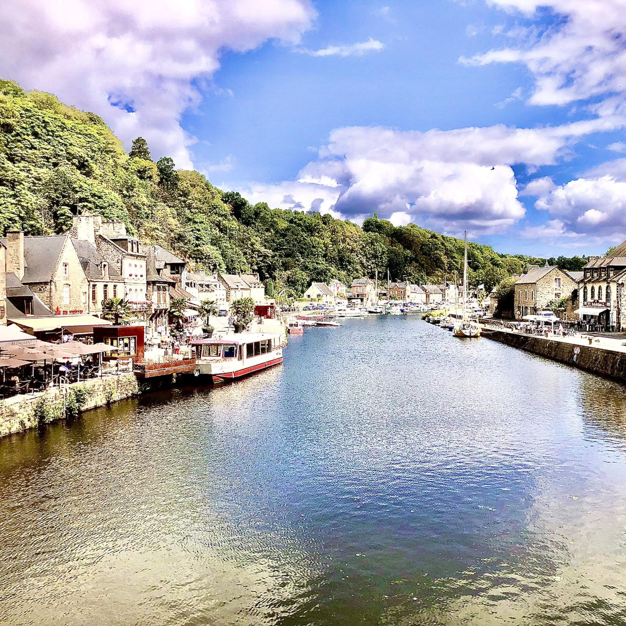
The harbor with the old bridge is one of the most beautiful corners of Dinan.
0
0

The Tour de l'Horloge on Rue de l'Horloge is a medieval bell tower dating back to the late 15th century. Originally serving as a watchtower and town hall, it now houses a small museum. At 40 meters high and with 158 steps, it offers impressive panoramic views of the Old Town, the surrounding area, and, on a clear day, even as far as Mont Saint-Michel.
1
0
The Hôtel Kératry is a historic half-timbered building dating from 1559, originally built in Lanvollon and relocated to Dinan's old town in 1938. It serves as a center for the Celtic harp, hosting exhibitions, workshops, and cultural events. Its architectural features include red beams, granite columns, and finely carved figures.
1
0

The abbey church and cloister are definitely worth a visit.
0
0
It is a beautiful half-timbered house.
0
0
The viaduct spans the valley spectacularly, and it's particularly beautiful from the harbor.
0
0
Magnificent road viaduct which crosses the Rance river above the port of Dinan.
0
0
Frequently Asked Questions
How many hiking trails are available around Saint-Carné?
There are over 140 hiking trails recorded around Saint-Carné on komoot, offering a wide variety of options for different skill levels and preferences. This includes 73 easy routes, 63 moderate routes, and 7 more challenging trails.
Are there any easy, family-friendly hikes in Saint-Carné?
Yes, Saint-Carné offers many easy trails suitable for families. A great option is Dinan – The Port of Dinan loop from Dinan, which is an easy 2.4-mile (3.8 km) path exploring the port area with gentle gradients. The region's generally accessible landscape and moderate elevation changes make it ideal for family outings.
What kind of terrain can I expect on hikes around Saint-Carné?
Hiking around Saint-Carné features varied terrain, characterized by the Rance river valley and surrounding rolling hills. You'll find a mix of open countryside, woodlands, and paths alongside waterways. Trails often connect historic towns and villages, providing diverse scenery for outdoor exploration.
Are there any longer or more challenging routes for experienced hikers?
For those seeking a longer challenge, the The Port of Dinan – Abbaye Saint-Magloire de Léhon loop from Léhon is a difficult 13-mile (21 km) trail that takes around 5 hours 26 minutes to complete. This route offers a more extensive exploration of the region's landscapes and historical sites.
What are some notable landmarks or attractions I can see while hiking?
Many trails around Saint-Carné pass by historical and scenic attractions. You can explore the charming Dinan Old Town, visit the impressive Saint-Sauveur Basilica, or walk along the Chemin de Halage Along the Rance in Taden. These highlights add cultural and historical depth to your hiking experience.
Are there circular hiking routes available in the area?
Yes, many of the trails around Saint-Carné are circular, allowing you to start and end your hike in the same location. An example is The Rance – Léhon loop from Dinan, a 6.3-mile (10.1 km) trail that leads through riverine landscapes and past historical sites.
What do other hikers say about the trails in Saint-Carné?
The hiking routes in Saint-Carné are highly rated by the komoot community, with an average score of 4.5 stars from more than 500 reviews. Hikers often praise the diverse scenery, well-maintained paths, and the charming blend of natural beauty and historical towns.
Is Saint-Carné a good destination for winter hiking?
While the region is generally accessible, winter hiking in Saint-Carné can be enjoyed on many of the lower-elevation and riverside paths. However, always check local weather conditions, as paths can become muddy or slippery after rain. The mild climate of Brittany generally allows for year-round outdoor activities.
Are there any hikes that offer good viewpoints?
Given the rolling hills and river valleys, many trails offer scenic viewpoints, particularly those overlooking the Rance river and the historic town of Dinan. Routes like Dinan – Dinan Harbour loop from Dinan provide excellent vistas of the town and its port.
Where can I find parking for hiking trails in Saint-Carné?
Parking is generally available in and around the main towns and villages that serve as starting points for hikes, such as Dinan and Léhon. Specific parking information can often be found on individual komoot tour pages or local tourist information websites.
Are dogs allowed on the hiking trails in Saint-Carné?
Many trails in the Saint-Carné region are dog-friendly, especially those through woodlands and along river paths. However, it's always recommended to keep dogs on a leash, particularly in nature reserves, agricultural areas, or when passing through villages. Check specific trail regulations if you are unsure.
What is the best time of year to go hiking in Saint-Carné?
The best time to hike in Saint-Carné is typically from spring to autumn (April to October). During these months, the weather is generally mild and pleasant, with lush greenery in spring and vibrant colors in autumn. Summer offers longer daylight hours, but trails can be busier.
Most popular routes around Saint-Carné
Most popular attractions around Saint-Carné

Get inspired with the komoot mobile app


Explore more
Browse the best Hikes in other regions.
