The best walks and hikes around Aucaleuc
4.6
(549)
3,674
hikers
114
hikes
Hiking around Aucaleuc offers access to a rural landscape characterized by gentle elevations, small watercourses like the Vaux du Moulin stream, and proximity to the Rance River. The commune, situated in Brittany's Côtes-d'Armor department, provides a blend of countryside paths and connections to broader regional trails. Its location near the Rance River Valley and the historic town of Dinan allows for diverse hiking experiences, from tranquil wooded areas to scenic river towpaths. The terrain typically features elevations ranging from 68…
Last updated: May 24, 2026
5.0
(1)
26
hikers
12.2km
03:11
90m
90m
Moderate hike. Good fitness required. Easily-accessible paths. Suitable for all skill levels.
4.8
(4)
20
hikers
8.07km
02:07
60m
60m
Moderate hike. Good fitness required. Easily-accessible paths. Suitable for all skill levels.

Sign up for free
4.8
(5)
11
hikers
3.99km
01:03
30m
30m
Easy hike. Great for any fitness level. Easily-accessible paths. Suitable for all skill levels.
5.0
(2)
8
hikers
5.16km
01:21
30m
30m
Easy hike. Great for any fitness level. Easily-accessible paths. Suitable for all skill levels.
5.0
(1)
5
hikers
8.22km
02:07
30m
30m
Moderate hike. Good fitness required. Easily-accessible paths. Suitable for all skill levels.
Get access to more routes and recommendations from other explorers.
Sign up for free
Already have an account?
Our route recommendations are based on thousands of hikes, rides, and runs completed by other people on komoot.
Start today with a free account
Your next adventure awaits.
Login or Signup
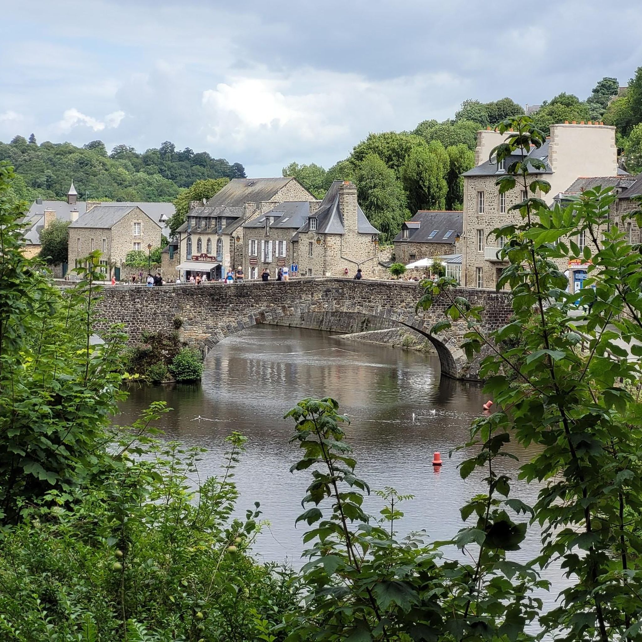
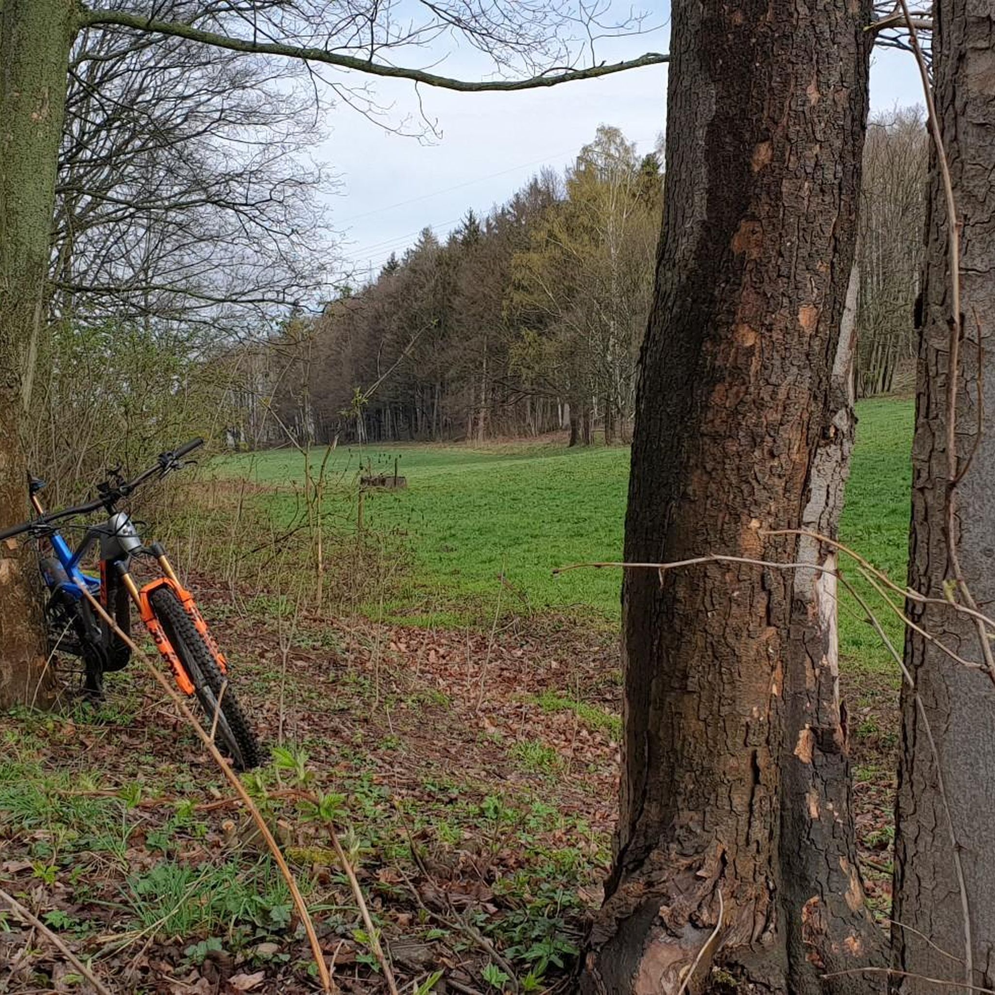
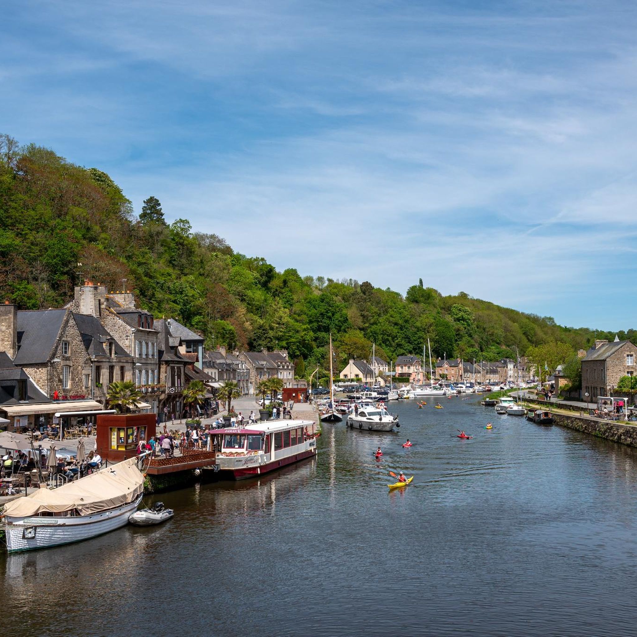
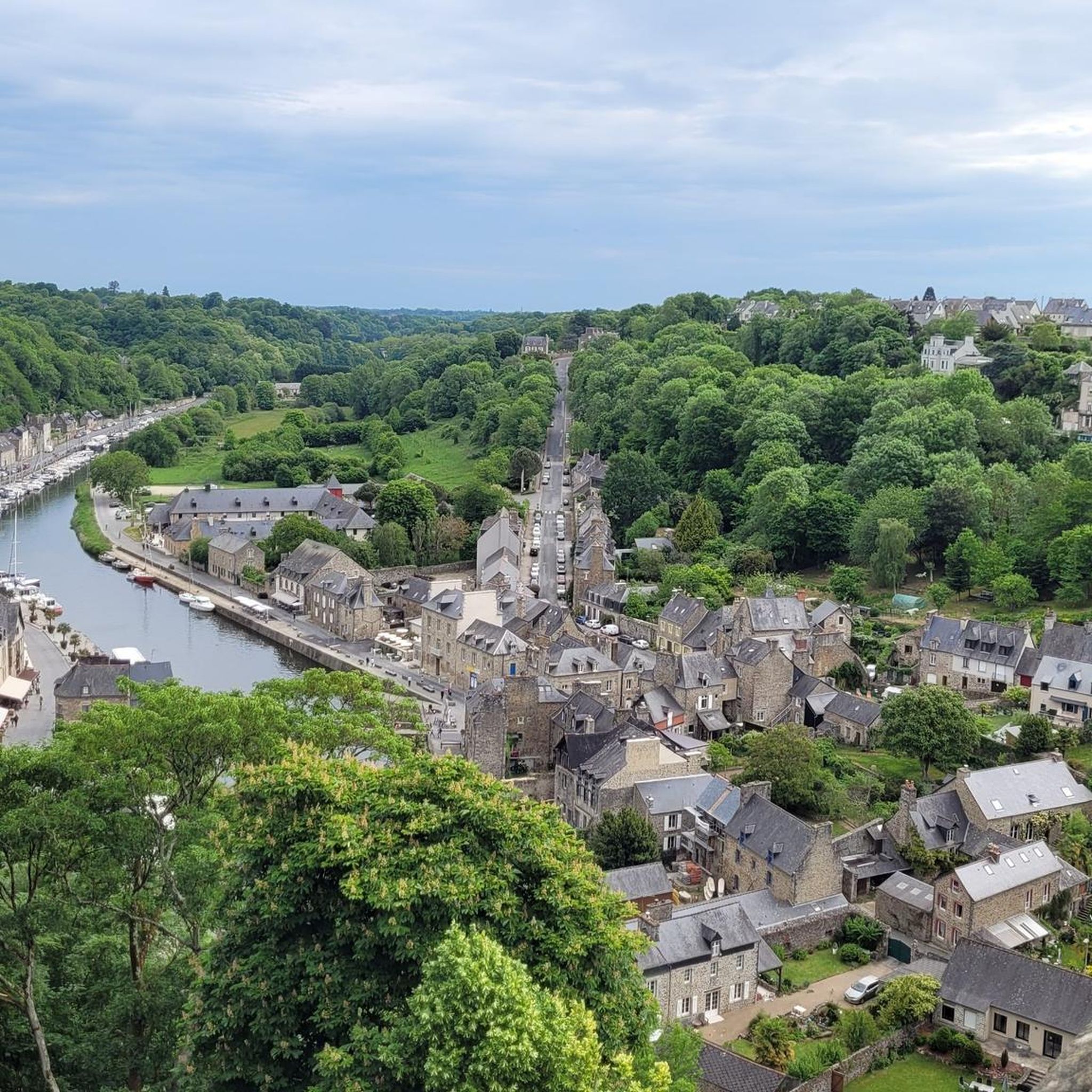

Tips from the Community


Pretty little rose garden
0
0
Frequently Asked Questions
How many hiking trails are available around Aucaleuc?
The komoot community has recorded over 100 hiking trails around Aucaleuc. These routes offer a variety of experiences, from easy strolls through the countryside to more moderate excursions.
What types of terrain can I expect on hikes in Aucaleuc?
Hiking around Aucaleuc primarily features rural paths, often winding through wooded landscapes and along small watercourses like the Ruet stream. You can also find paths near the Rance River, offering a mix of riverside and countryside scenery. The terrain generally has gentle elevations, ranging from 68 to 120 meters.
Are there any easy, family-friendly walks in the area?
Yes, Aucaleuc offers several easy routes suitable for families. A great option is the Parc du Val Drouet – Château de Vaucouleurs loop from Trélivan, an easy 5.2 km (3.2 miles) path that takes about 1 hour 20 minutes. This trail provides a pleasant walk through natural scenery.
Are there any circular hiking routes around Aucaleuc?
Many of the trails in the Aucaleuc area are circular, allowing you to start and end at the same point. For instance, the Parc du Val Drouet loop from Trélivan is a moderate 8.1 km (5.0 miles) circular path, offering a pleasant walk through the Parc du Val Drouet.
What historical sites or landmarks can I see while hiking near Aucaleuc?
While hiking in Aucaleuc, you can discover local historical vestiges such as Gallo-Roman enclosures and a feudal motte. The area's proximity to Dinan also means you can easily combine your hike with a visit to the medieval town. Notable attractions include Dinan Old Town, the Saint-Sauveur Basilica, and the Saint-Malo Church.
Are there any trails along the Rance River?
Yes, Aucaleuc is close to the Rance River, which features the historic "Chemin de Halage" (towpath). This path offers a peaceful route for hiking with picturesque views along the river. You can access sections like the Chemin de Halage Along the Rance in Taden for a scenic riverside walk.
What do other hikers enjoy most about the trails in Aucaleuc?
The trails around Aucaleuc are highly rated by the komoot community, with an average score of 4.6 stars from over 500 reviews. Hikers often praise the serene rural environment, the well-maintained paths, and the opportunity to explore both natural landscapes and historical sites.
Are there any longer, more challenging hikes available?
While many routes are easy to moderate, there are options for longer excursions. The Courtil des senteurs loop from Quévert is a moderate 12.2 km (7.6 miles) trail that takes approximately 3 hours 11 minutes to complete, exploring varied rural surroundings.
Is Aucaleuc well-connected by public transport for hikers?
While Aucaleuc itself is a smaller rural commune, its proximity to Dinan (about 7 km away) means you can potentially use public transport to reach Dinan and then access trails from there or arrange local transport to Aucaleuc. The wider region also benefits from greenways, some of which are accessible via public transport hubs.
What is the best time of year to go hiking in Aucaleuc?
The region of Brittany, including Aucaleuc, generally offers pleasant hiking conditions from spring through autumn. Spring brings blooming flora, while autumn provides beautiful foliage. Summer is also popular, but trails can be busier. Winter hiking is possible, but conditions may be cooler and wetter.
Are there any greenways or former railway lines suitable for walking?
Yes, the wider region around Aucaleuc features several greenways built on former railway lines. An example is the Dinard–Saint-Samson-sur-Rance Greenway, a 17 km route that is suitable for both walking and cycling, offering a different way to experience the local scenery without vehicle traffic.
Can I find trails that connect to the historic town of Dinan?
Absolutely. Aucaleuc's close proximity to Dinan makes it easy to find routes that either start in Dinan and pass through Aucaleuc, or vice-versa. The Aucaleuc church loop from Dinan is a 4.0 km (2.5 miles) trail that connects the two areas, leading through the local countryside.
Most popular attractions around Aucaleuc

Get inspired with the komoot mobile app


Explore more
Browse the best Hikes in other regions.
