The best walks and hikes around Pleudihen-Sur-Rance
4.5
(554)
3,029
hikers
20
hikes
Hiking around Pleudihen-Sur-Rance offers trails along the Rance river estuary, characterized by its tidal movements and gentle, rolling terrain. The landscape features a mix of riverbanks, small villages, and areas with historical elements like tidal mills and locks. Elevation changes are generally modest, making many routes accessible for various fitness levels. The region provides opportunities for walks through a blend of natural riverine environments and cultural points of interest.
Best hiking trails around Pleudihen-Sur-Rance
- The most popular hiking route is…
Last updated: May 12, 2026
3.0
(2)
23
hikers
Easy hike. Great for any fitness level. Easily-accessible paths. Suitable for all skill levels.
4.0
(6)
19
hikers
Easy hike. Great for any fitness level. Easily-accessible paths. Suitable for all skill levels.

Sign up for free
3.0
(2)
34
hikers
7.08km
01:51
50m
50m
Easy hike. Great for any fitness level. Easily-accessible paths. Suitable for all skill levels.
4.5
(2)
19
hikers
Moderate hike. Good fitness required. Easily-accessible paths. Suitable for all skill levels.
5.0
(1)
8
hikers
8.63km
02:18
90m
90m
Moderate hike. Good fitness required. Easily-accessible paths. Suitable for all skill levels.
Get access to more routes and recommendations from other explorers.
Sign up for free
Already have an account?
Our route recommendations are based on thousands of hikes, rides, and runs completed by other people on komoot.
Start today with a free account
Your next adventure awaits.
Login or Signup

Tips from the Community

A pretty little peaceful port on the banks of the Rance. The road, however, is certainly less peaceful in season 😅.
0
0

In addition, there is a small bookstore with its very welcoming garden
0
0

Its construction began in 1879. It was intended for the passage of a railway line linking Brittany to Normandy. At a height of 32 meters and suspended between the support points for 96 meters, the original viaduct weighed approximately 1000 tonnes. Bombed in June 1944 by the Allies, it still remained standing. It was German troops who finally blew it up on August 2, 1944. The bridge was rebuilt on August 4, 1949 by the Coignet company. On June 20, 1950, its strength was tested by 4 locomotives of 180 tons each. (valderance.free.fr & saintsamson.chez.com)
0
0
The Châtelier lock marks the limit between the river Rance (fresh water) and the maritime Rance (brackish water), subject to the staggered tides of the tidal power plant.
0
0

Lock and weir. The flood comes this far.
0
0

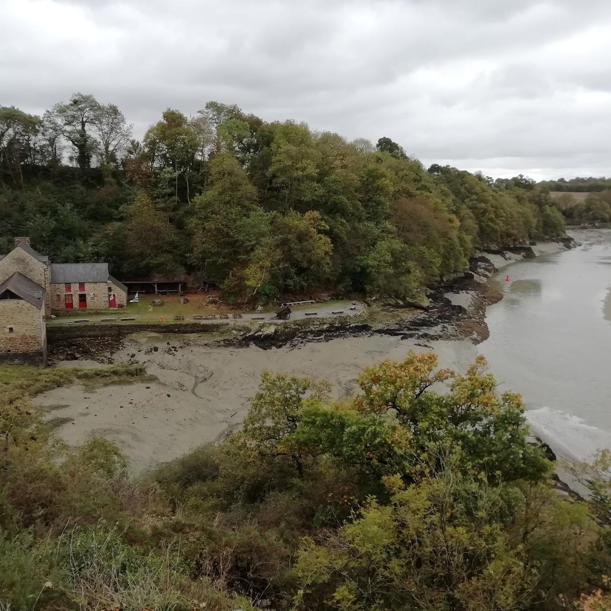
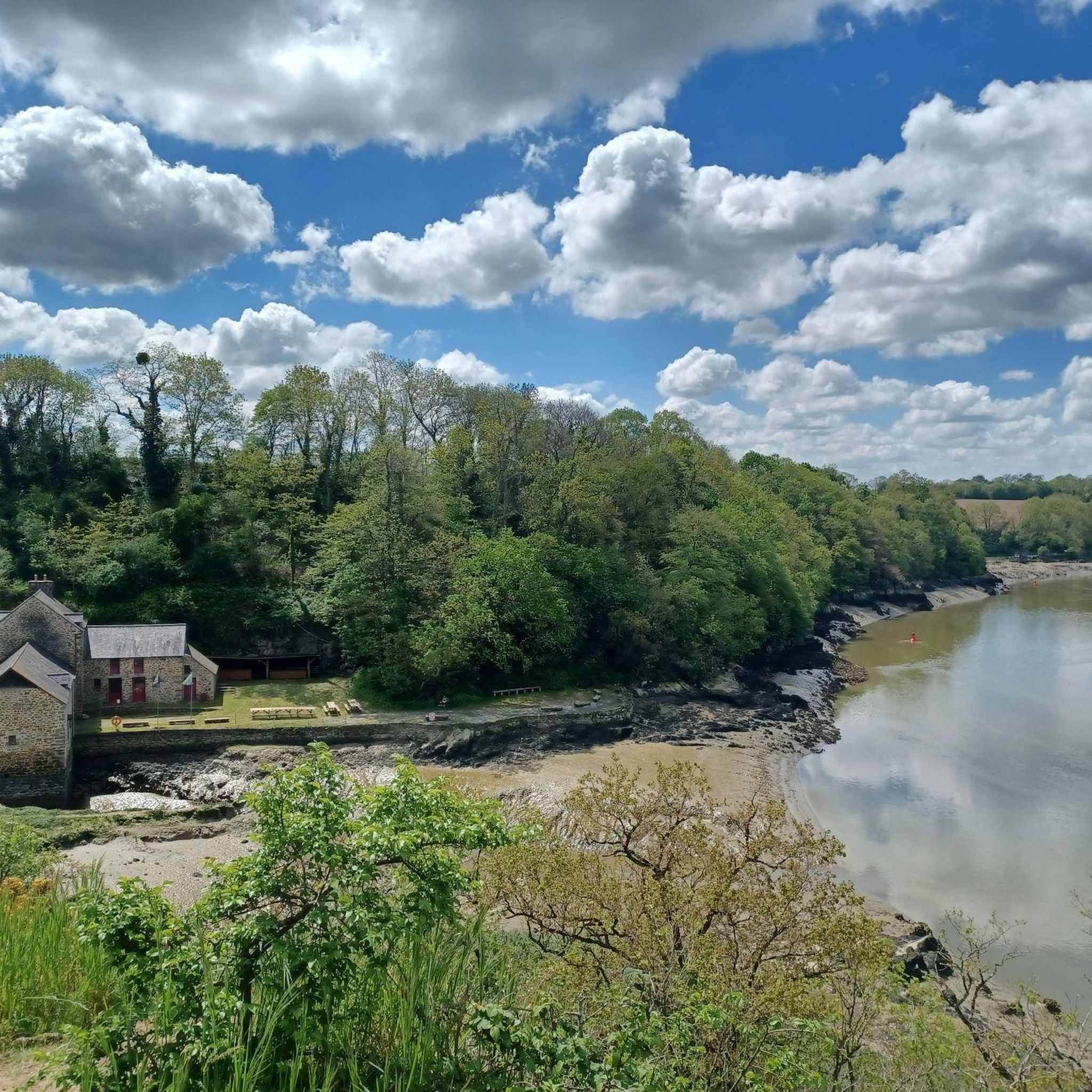
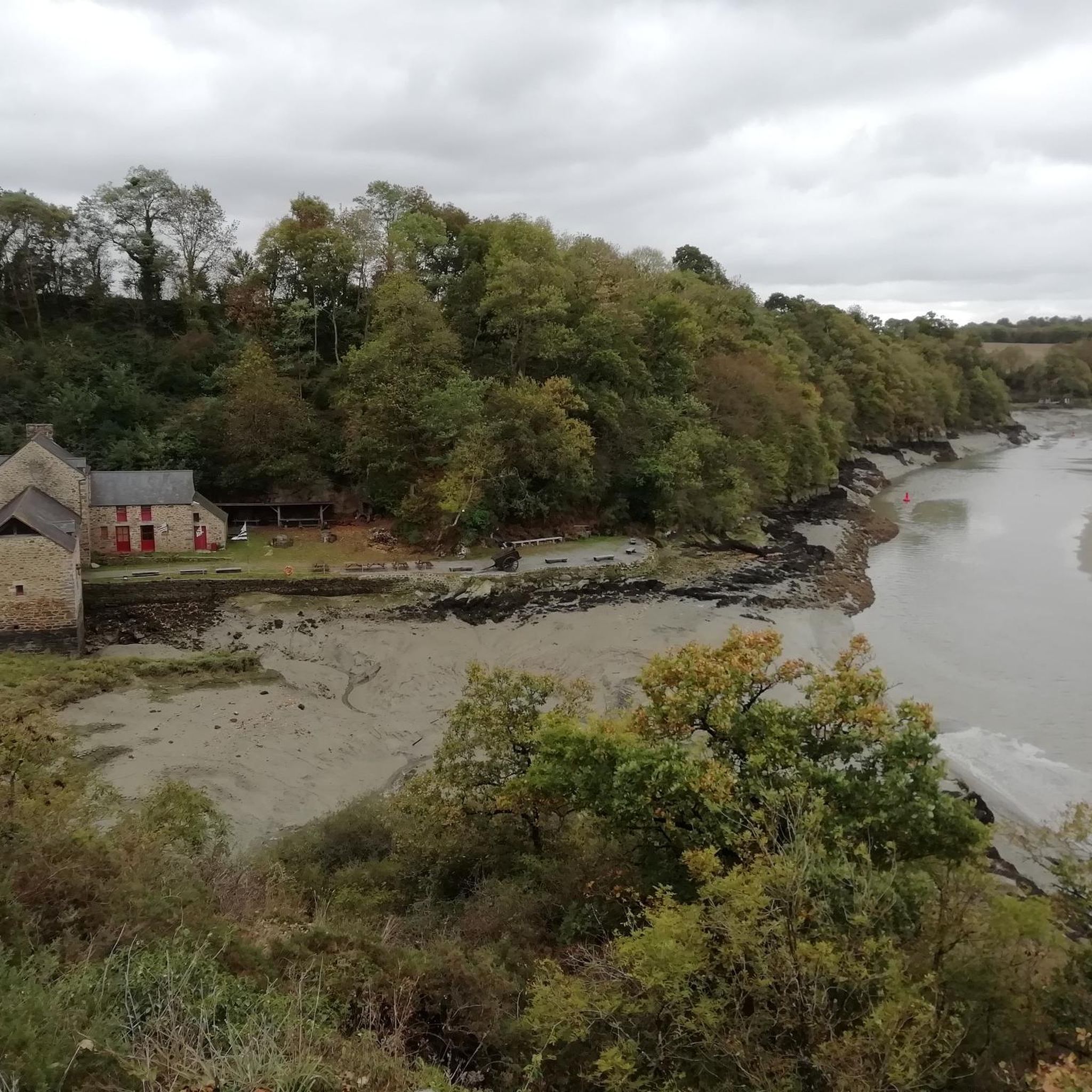
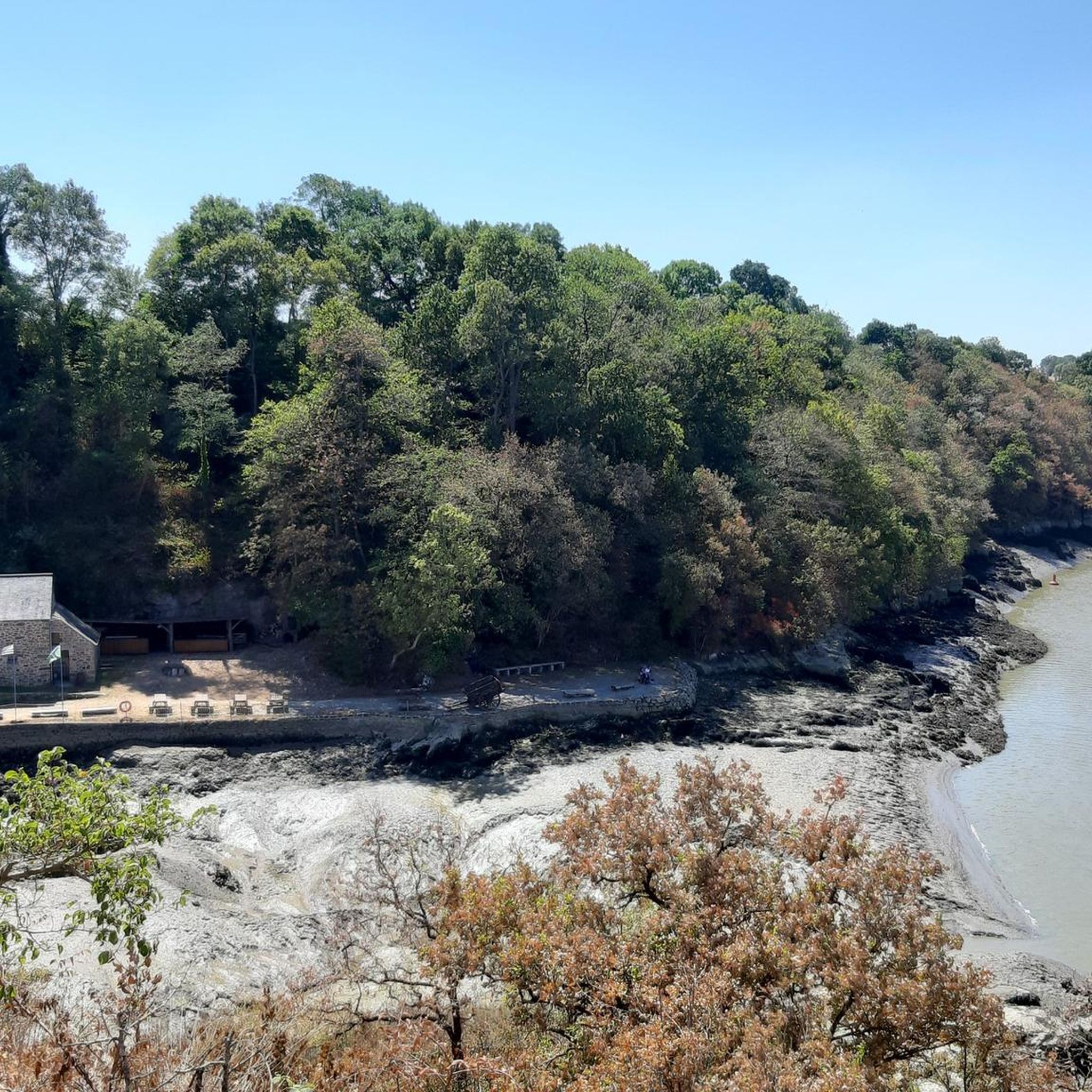
Very pretty tide mill, well restored.
0
0
The lock separates the river Rance from the maritime Rance.
2
0
Frequently Asked Questions
How many hiking trails are available around Pleudihen-Sur-Rance?
There are over 20 hiking routes in the Pleudihen-Sur-Rance area, offering a variety of experiences along the Rance estuary. Most of these, about 16, are considered easy, while 6 are moderate.
Are there any easy, family-friendly hikes in Pleudihen-Sur-Rance?
Yes, the region is well-suited for families due to its generally gentle terrain and modest elevation changes. An excellent option is the Cale de Mordreuc – Mordreuc and its tidal mill loop from Pleudihen-sur-Rance, an easy 5 km (3.1 miles) route that takes about 1 hour 19 minutes to complete and passes by the notable tidal mill.
Can I bring my dog on the hiking trails in Pleudihen-Sur-Rance?
Many trails along the Rance estuary are suitable for dogs, especially those that follow the riverbanks and through less populated areas. It's always recommended to keep dogs on a leash, particularly near wildlife or in agricultural zones. The natural paths around the tidal areas offer plenty of space for a walk with your canine companion.
What kind of scenery can I expect on a hike in Pleudihen-Sur-Rance?
Hiking in Pleudihen-Sur-Rance offers diverse scenery, primarily characterized by the Rance river estuary. You'll encounter riverbank paths, areas influenced by tidal movements, small charming villages, and historical elements like tidal mills and locks. The landscape is generally gentle and rolling, providing a blend of natural riverine environments and cultural points of interest.
Are there any longer or more challenging hikes in the area?
While most routes are easy, there are moderate options for those seeking a longer walk. The Mordreuc and its tidal mill – Le Châtelier Lock loop from Pleudihen-sur-Rance is an 8.1 miles (13.0 km) trail that leads through riverine landscapes and past the Le Châtelier Lock, typically taking around 3 hours 26 minutes to complete.
What are some interesting landmarks or attractions to see while hiking?
The region is rich in history and natural beauty. Along your hikes, you might encounter the historic Beauchet Tidal Mill or the impressive Pont Saint-Hubert. The nearby Dinan Old Town and the picturesque village of Saint-Suliac are also worth exploring.
Are there circular walking routes available?
Yes, many of the trails around Pleudihen-Sur-Rance are designed as loops, allowing you to start and end at the same point. For example, the Cale de Mordreuc loop from Dunes de la Ville Ger is an easy 7.1 km (4.4 miles) circular path offering views of the Rance estuary.
What is the best time of year to go hiking in Pleudihen-Sur-Rance?
The Rance estuary region is enjoyable throughout much of the year. Spring and autumn offer pleasant temperatures and beautiful colors, while summer provides longer daylight hours. Even in winter, the modest elevation changes make many routes accessible, though conditions can be damp, especially near the tidal areas.
Is there parking available near the trailheads?
Parking is generally available in and around the villages and popular starting points for hikes, such as near the Cale de Mordreuc. Specific parking details can often be found on individual route descriptions or local signage.
What do other hikers say about the trails in Pleudihen-Sur-Rance?
The hiking routes in Pleudihen-Sur-Rance are highly rated by the komoot community, with an average score of 4.5 stars from over 500 reviews. Hikers often praise the scenic river views, the tranquility of the paths, and the opportunity to discover historical sites like the tidal mills.
Are there any hikes that pass by the Lessard Viaduct?
Yes, you can explore the area around the Lessard Viaduct. The Cale de Mordreuc – Lessard Viaduct loop from Pleudihen-sur-Rance is a moderate 8.6 km (5.3 miles) route that incorporates this notable structure into its path.
Most popular routes around Pleudihen-Sur-Rance
Most popular attractions around Pleudihen-Sur-Rance

Get inspired with the komoot mobile app


Explore more
Browse the best Hikes in other regions.
