The best walks and hikes around Le Cailar
4.4
(503)
3,162
hikers
169
hikes
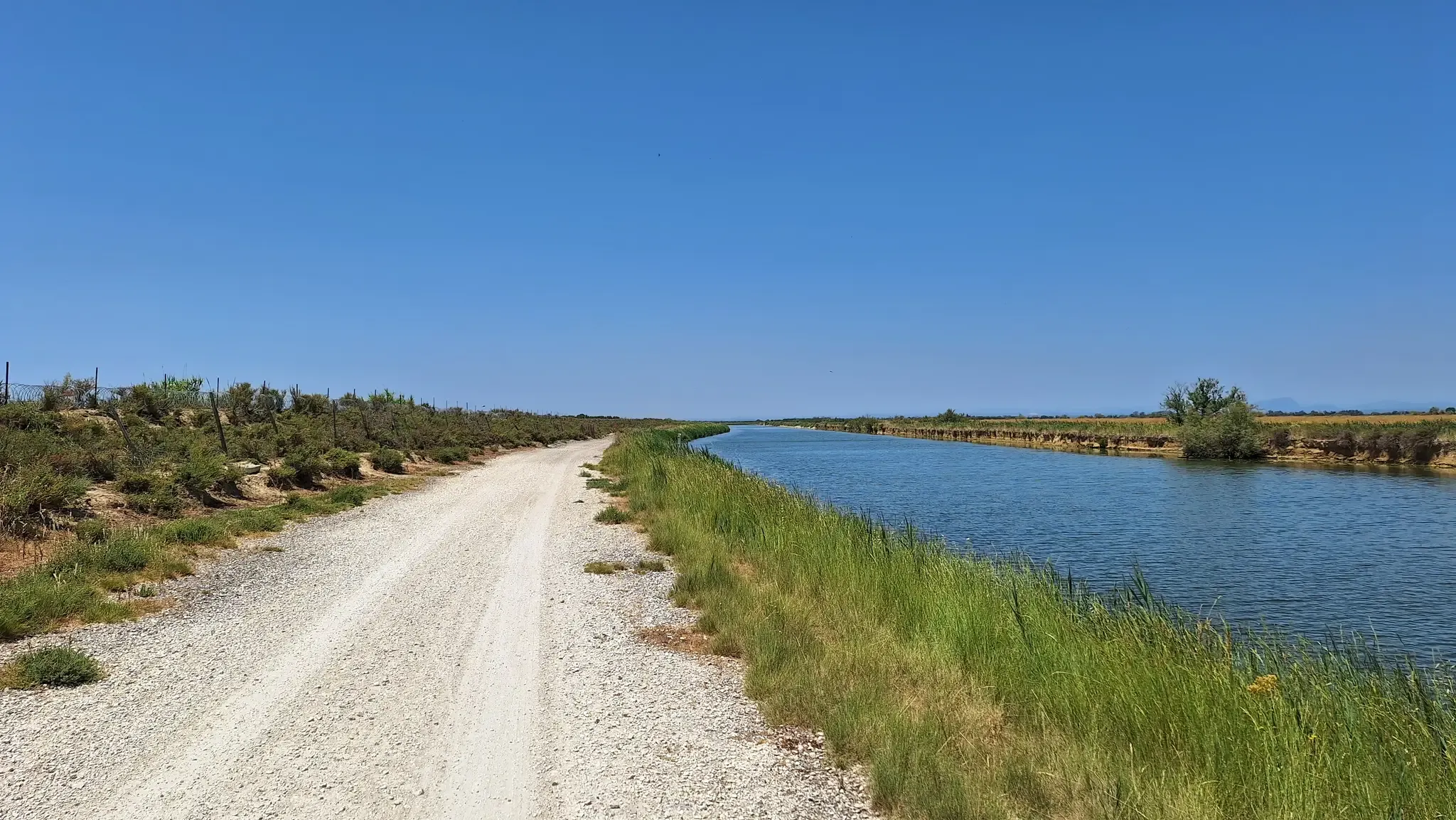
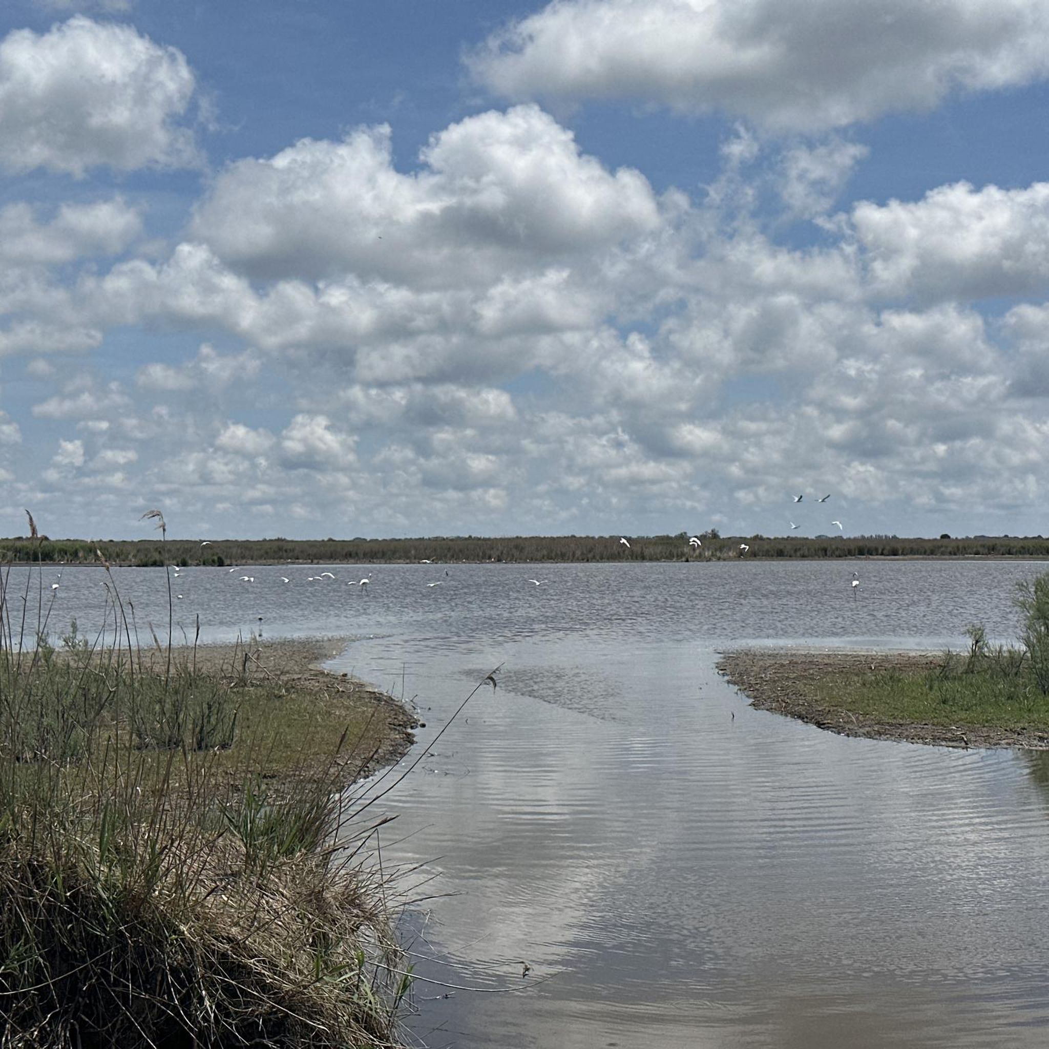
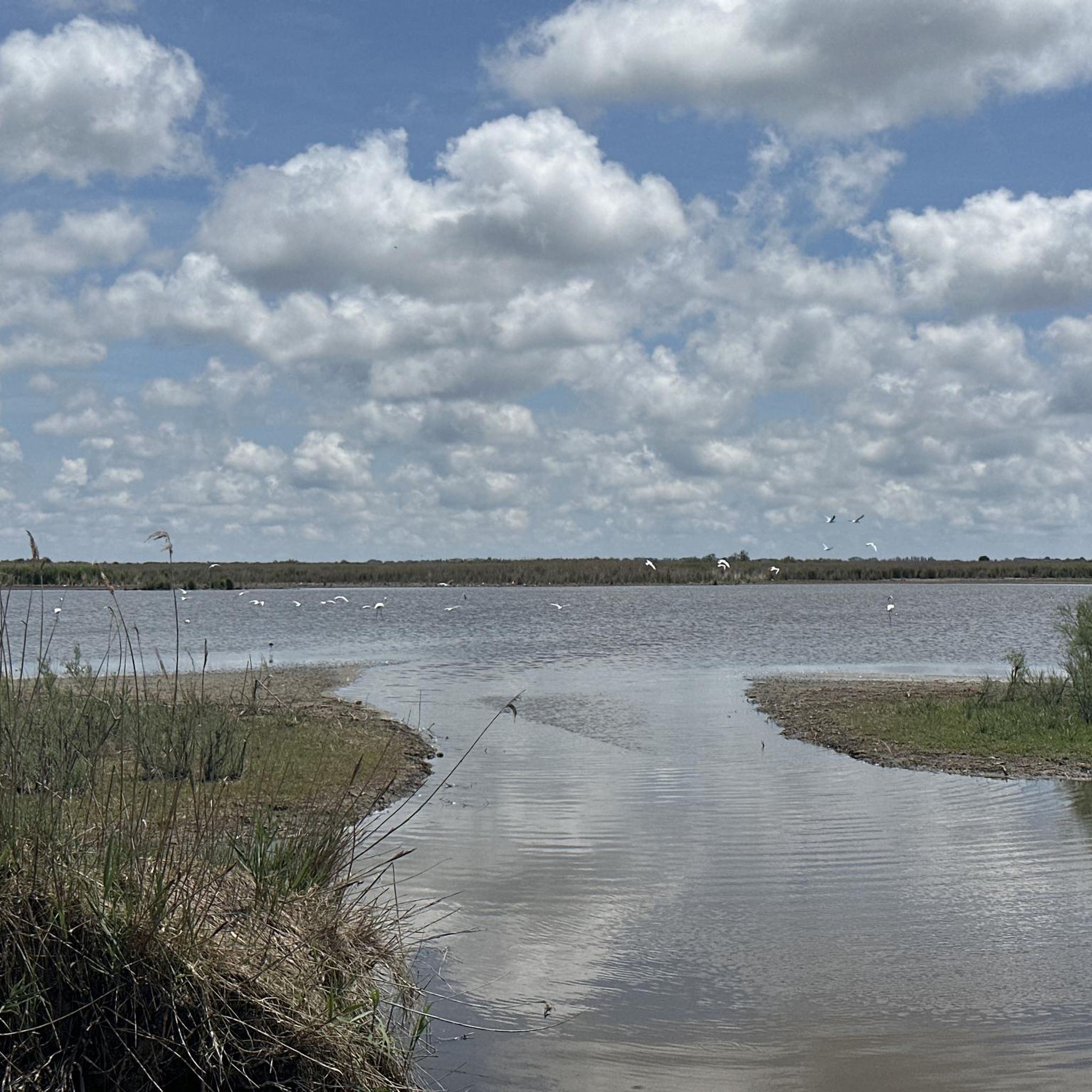
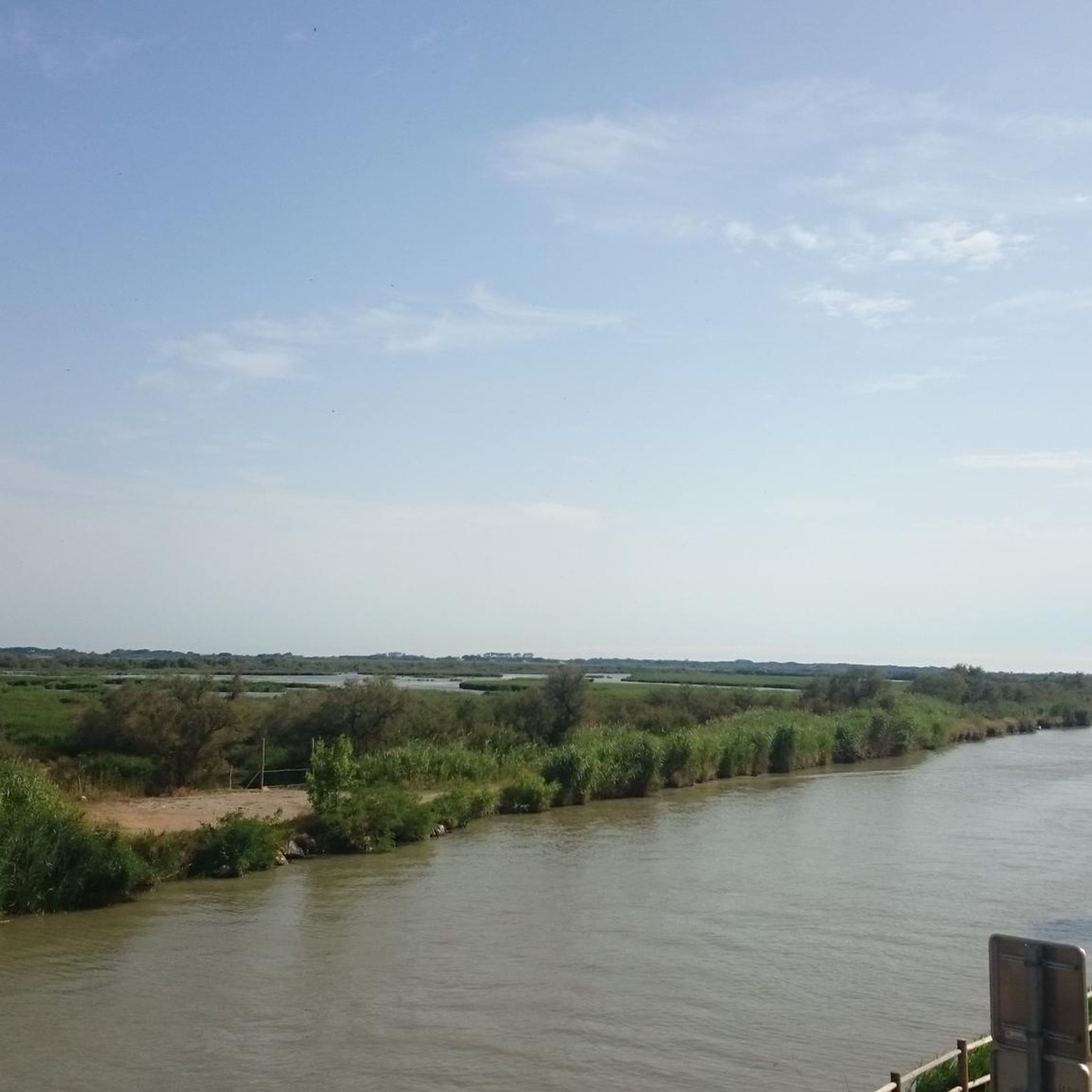
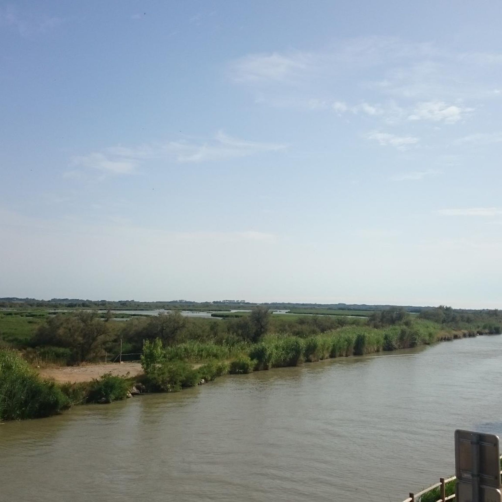
Hiking around Le Cailar offers diverse terrain within the Petite Camargue Gardoise, characterized by extensive marshes and prairies. The region features a network of rivers, including the Vistre, Rhôny, and Vidourle, alongside canals like the Philippe Lamour Canal. Beyond the wetlands, the landscape transitions to vineyards and scrubland, providing varied environments for outdoor activities. This area is known for its unique ecosystem, home to Camargue horses, bulls, and numerous bird species.
Best hiking trails around Le Cailar
- The most popular…
Last updated: September 28, 2026
3.0
(1)
14
hikers
Hard hike. Very good fitness required. Easily-accessible paths. Suitable for all skill levels.
5.0
(1)
10
hikers
5.82km
01:31
40m
40m
Easy hike. Great for any fitness level. Easily-accessible paths. Suitable for all skill levels.

8
hikers
15.7km
04:14
210m
210m
Moderate hike. Good fitness required. Easily-accessible paths. Suitable for all skill levels.
4.5
(4)
11
hikers
Moderate hike. Good fitness required. Easily-accessible paths. Suitable for all skill levels.
3.0
(1)
9
hikers
22.6km
05:43
40m
40m
Hard hike. Very good fitness required. Easily-accessible paths. Suitable for all skill levels.
Get access to more routes and recommendations from other explorers.
Already have an account?
Our route recommendations are based on thousands of hikes, rides, and runs completed by other people on komoot.
Start today with a free account
Your next adventure awaits.

Other adventures around Le Cailar

Tips from the Community

Minutes of the city council meeting of June 7, 1877; Mayor: Dr. Gachon "Considering that the destruction of our vineyards by phylloxera has completely changed the nature of our crops, and that these crops now consist almost exclusively of animal fodder, and that a public weighbridge or scale is essential for the sale of this fodder, it is decided to allocate a sum of 1,500 francs for this purpose." The weighbridge was built in 1879 on land owned by the railway company (PLM), near the Glacière Bridge (now the Bonhoure Bridge). In 1926, it was replaced by a new device capable of supporting 20 tons of load instead of 10. The public weighbridge was gradually abandoned after the creation of the cooperative winery in 1929, which had its own weighbridge.
0
0

Beautiful sign of the Via Tolosana in Vauvert
3
0
Directions to Santiago de Compostela with the distance to travel
2
0
Beautiful town along the Via Tolosana
2
0
Veduta di Gallargues-le-Montueux posta su una collina
1
0
Sculpture of the pilgrim of Saint Jacques
0
0
Frequently Asked Questions
How many hiking trails are available around Le Cailar?
There are over 140 hiking routes around Le Cailar, catering to various fitness levels. You'll find a good mix of easy, moderate, and difficult trails to explore the Petite Camargue Gardoise.
What kind of landscapes can I expect to see while hiking near Le Cailar?
Hiking around Le Cailar offers a diverse range of landscapes. You'll encounter extensive marshes and prairies, home to Camargue horses and bulls, as well as various bird species like flamingos. Trails also follow rivers like the Vistre, Rhôny, and Vidourle, and canals such as the Philippe Lamour Canal, often passing through vineyards and scrubland (garrigue) with views of orchards.
Are there any easy hikes suitable for beginners or families with young children?
Yes, Le Cailar offers many easy routes. For a gentle stroll, consider the Domaine des Étangs en Camargue loop from Aimargues, which is about 4.3 km and takes just over an hour to complete, leading through natural areas. Many of the 73 easy routes are suitable for a relaxed pace.
Are there any circular hiking routes around Le Cailar?
Many of the trails around Le Cailar are circular, allowing you to start and end in the same location. A popular moderate option is the Prés du Cailar loop from Le Cailar, which is 10.6 km and explores local prairies and wetlands.
What are some interesting natural features or landmarks to look out for on the trails?
The region is rich in natural beauty. You can visit the Scamandre Discovery Center or explore the Scamandre Nature Reserve. Keep an eye out for the Étang du Médard for potential sightings of pink flamingos. The area's rivers, canals, and vast marshes are also prominent natural features.
Can I hike with my dog on the trails around Le Cailar?
The natural environment around Le Cailar, with its open prairies and riverbanks, is generally welcoming for dogs. However, as much of the area is part of the Natura 2000 network and home to semi-wild Camargue horses and bulls, it's crucial to keep your dog on a leash to protect wildlife and livestock. Always check specific trail regulations before you go.
What is the best time of year to go hiking in Le Cailar?
Le Cailar is enjoyable for hiking throughout much of the year. Spring and autumn offer pleasant temperatures and vibrant landscapes. Winter can also be a good time for sunny walks, especially along canals like the Philippe Lamour Canal, to enjoy views of peach, almond trees, and vines. Summers can be hot, so early morning or late afternoon hikes are recommended during this season.
Are there any challenging hikes for experienced hikers?
Yes, for experienced hikers seeking a challenge, there are difficult routes available. One such option is the Parc BMX / Cross freestyle – For the Via Tolosana loop from Le Cailar, a 22.6 km trail that is part of a major French pilgrimage route and requires good fitness.
What do other hikers say about the trails in Le Cailar?
The hiking routes in Le Cailar are highly rated by the komoot community, with an average score of 4.4 stars from over 380 reviews. Hikers often praise the unique Camargue landscape, the opportunities for wildlife observation, and the variety of trails suitable for different abilities.
Are there opportunities for birdwatching while hiking?
Absolutely. The marshes and wetlands around Le Cailar are a significant habitat for various bird species, including flamingos, herons, egrets, and storks. Many trails, particularly those through the Camargue Marshes and prairies, offer excellent birdwatching opportunities.
Are there any trails that follow rivers or canals?
Yes, several trails in the region follow waterways. Le Cailar is situated at the confluence of the Vistre and Rhôny rivers, and the peaceful Vidourle river also flows nearby. You can find serene trails along their banks and alongside canals like the Philippe Lamour Canal, which offers views of orchards and vineyards.
Is public transport available to reach hiking trailheads near Le Cailar?
While Le Cailar is a small village, some routes, like the Pilgrim of Saint Jacques – Vauvert loop from Vauvert, start from nearby towns like Vauvert, which may have better public transport connections. It's advisable to check local bus schedules for connections to Le Cailar or other starting points.
Most popular routes around Le Cailar
Most popular attractions around Le Cailar

Get inspired with the komoot mobile app


Explore more
Browse the best Hikes in other regions.
