The best road cycling routes around Wahlbach
4.5
(212)
4,448
riders
260
rides
Road cycling around Wahlbach is characterized by its diverse terrain within the Hunsrück region, featuring rolling hills, verdant forests, and extensive meadows. The municipality itself is situated at an average elevation of 433 meters above sea level, providing varied gradients for cyclists. This landscape, including the nearby Soonwald, offers a mix of challenging climbs and scenic routes through natural environments. The region's established cycling paths, such as parts of the Schinderhannes and Hunsrück cycle paths, provide structured options for exploration.
…Last updated: November 3, 2026
5.0
(1)
44
riders
50.7km
02:19
540m
540m
Moderate road ride. Good fitness required. Mostly well-paved surfaces and easy to ride.
38
riders
58.1km
02:34
470m
470m
Moderate road ride. Good fitness required. Mostly well-paved surfaces and easy to ride.

34
riders
40.7km
01:41
190m
190m
Easy road ride. Mostly well-paved surfaces and easy to ride.
9
riders
47.1km
02:04
330m
330m
Moderate road ride. Good fitness required. Mostly well-paved surfaces and easy to ride.
4.9
(7)
16
riders
30.2km
01:17
180m
180m
Easy road ride. Mostly well-paved surfaces and easy to ride.
Get access to more routes and recommendations from other explorers.
Already have an account?
Our route recommendations are based on thousands of hikes, rides, and runs completed by other people on komoot.
Start today with a free account
Your next adventure awaits.


Tips from the Community

Altkirch Altkirch is the historic capital of the Sundgau and lies on a striking rocky spur above the valley of the Ill. The town's origins date back to the Middle Ages. The Counts of Ferrette built Altkirch into a fortified town; from 1215 onwards, it was protected by town walls and towers. The characteristic layout, narrow streets, and remnants of the fortifications have been preserved from this medieval town plan to this day. Particularly worth seeing is the Vieille Porte, a former town gate from around 1245. For centuries, Altkirch was an important administrative and commercial center of the Sundgau. After the destructions of the Thirty Years' War, numerous buildings were newly erected. The representative town hall dates from the 18th century, built in 1778 according to plans by the Swabian architect Jean Nissler. In the 19th century, the town continued to develop: alongside its traditional importance as a market and trading place, industrial enterprises emerged, including the well-known Gilardoni brickworks. The 20th century also left its mark. After the First World War, Altkirch became part of the re-Frenchified Alsace. The memory of this period is evident, among other things, at the Vieille Porte, where a Borne Vauthier commemorates the former front line of 1918. The original Altkirch war memorial from 1927 was destroyed during the German occupation in the Second World War; preserved parts were later integrated into a new memorial. Today, Altkirch, with around 6,000 inhabitants, is an important center of the Sundgau. The historic upper town with its old houses, remnants of fortifications, the town hall, and the Sundgau Museum continues to shape the townscape. Source: Ville d’Altkirch – History of the town
0
0

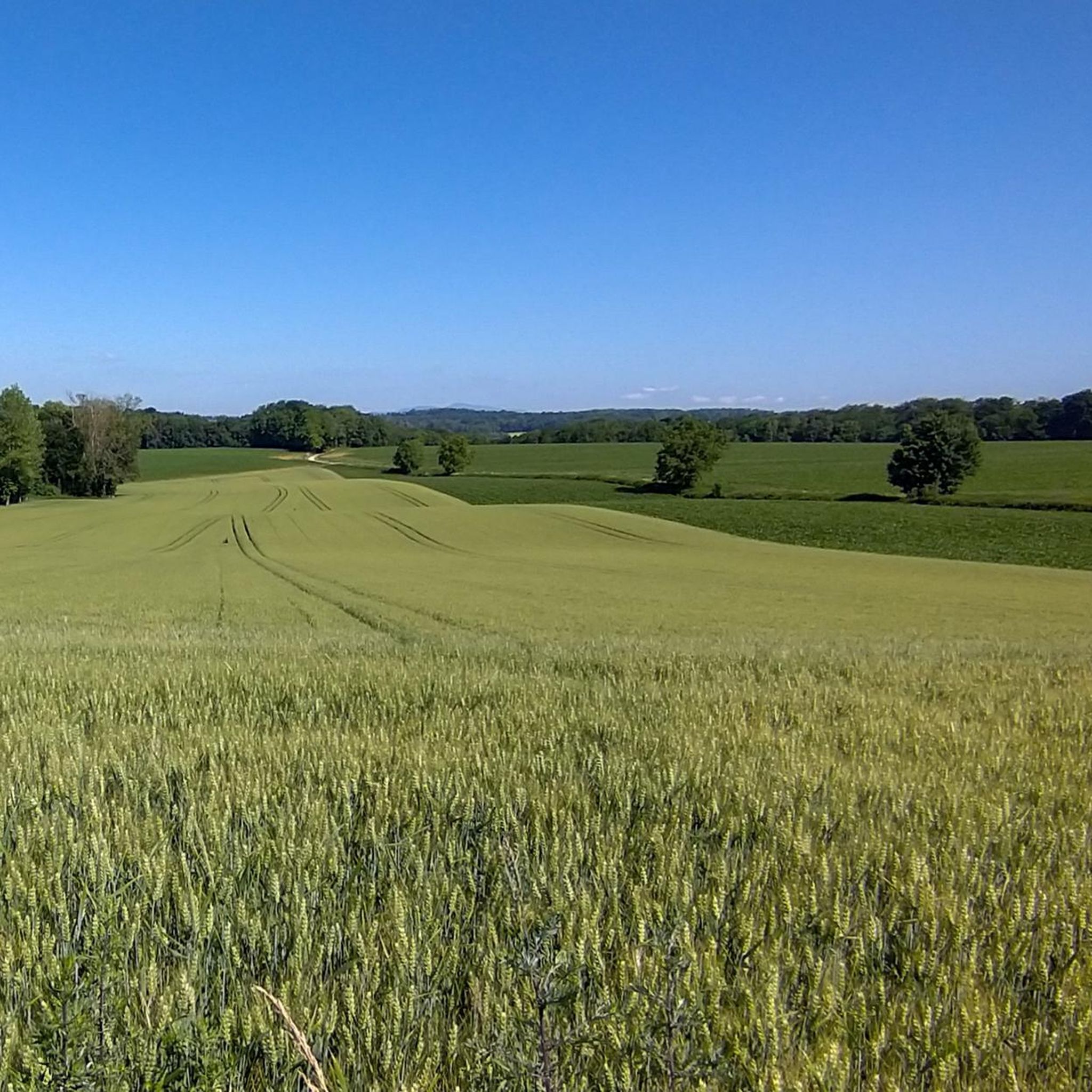
I can only agree with Mattia: it's a short stretch of road through fields, but otherwise completely unspectacular, not even worth a tip...
0
0

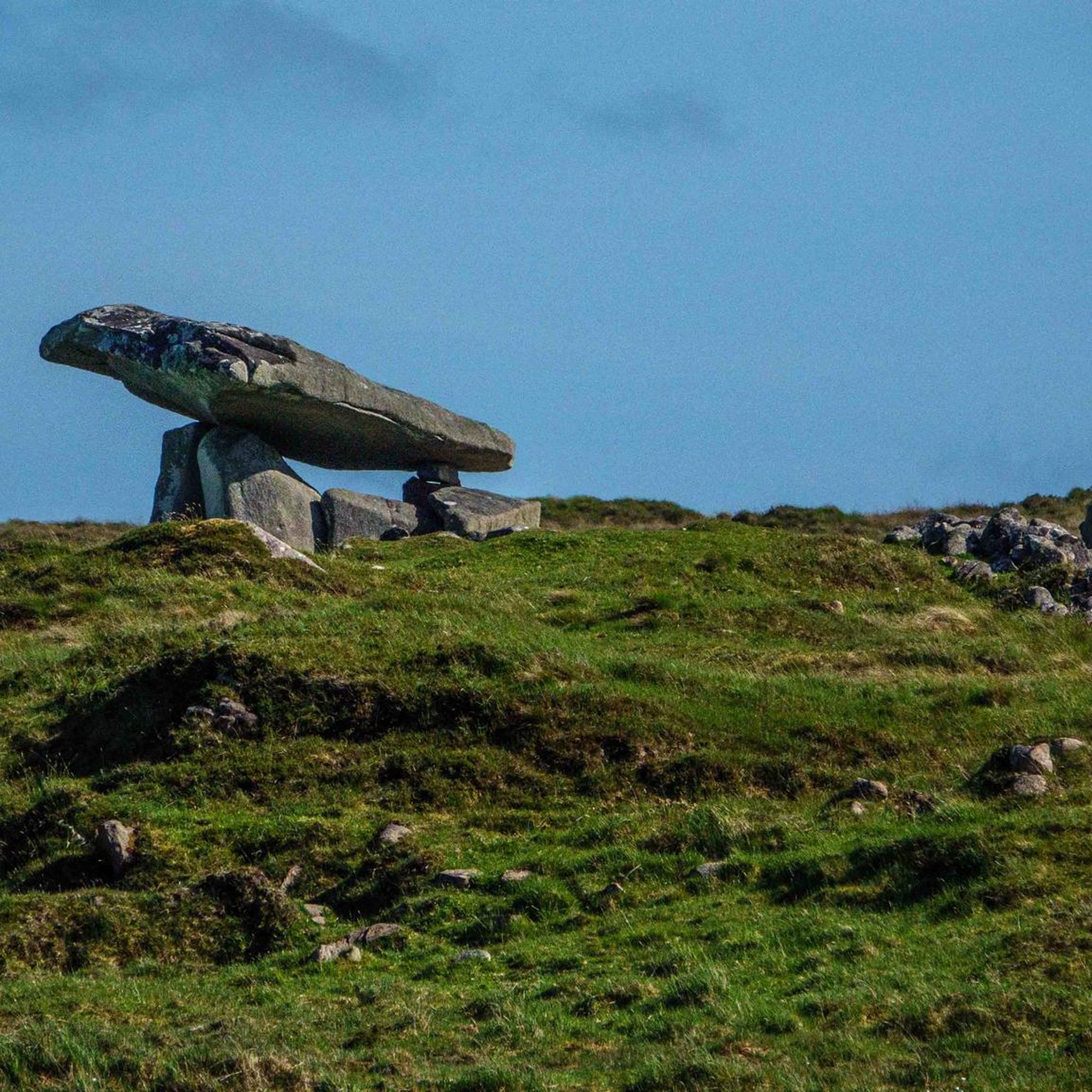
Biederthal is often reached by car from Basel / the Birstal valley, but this point here is nothing special in itself.
0
0
Without any car traffic, the cycle path leads over gentle hills from Carspach to Ballersdorf, passing some exciting places such as the model airfield and the fish pond.
0
0
The former Altkirch-Waldighofen railway line has been converted into a cycle path in some sections, leading through fields and forests without disturbing car traffic. Highly recommended!
0
0

Before arriving at the Rail Trail, one is surrounded by magnificent half-timbered typical Alsatian houses from 100 years ago. The road is in need of some repairs.
0
0
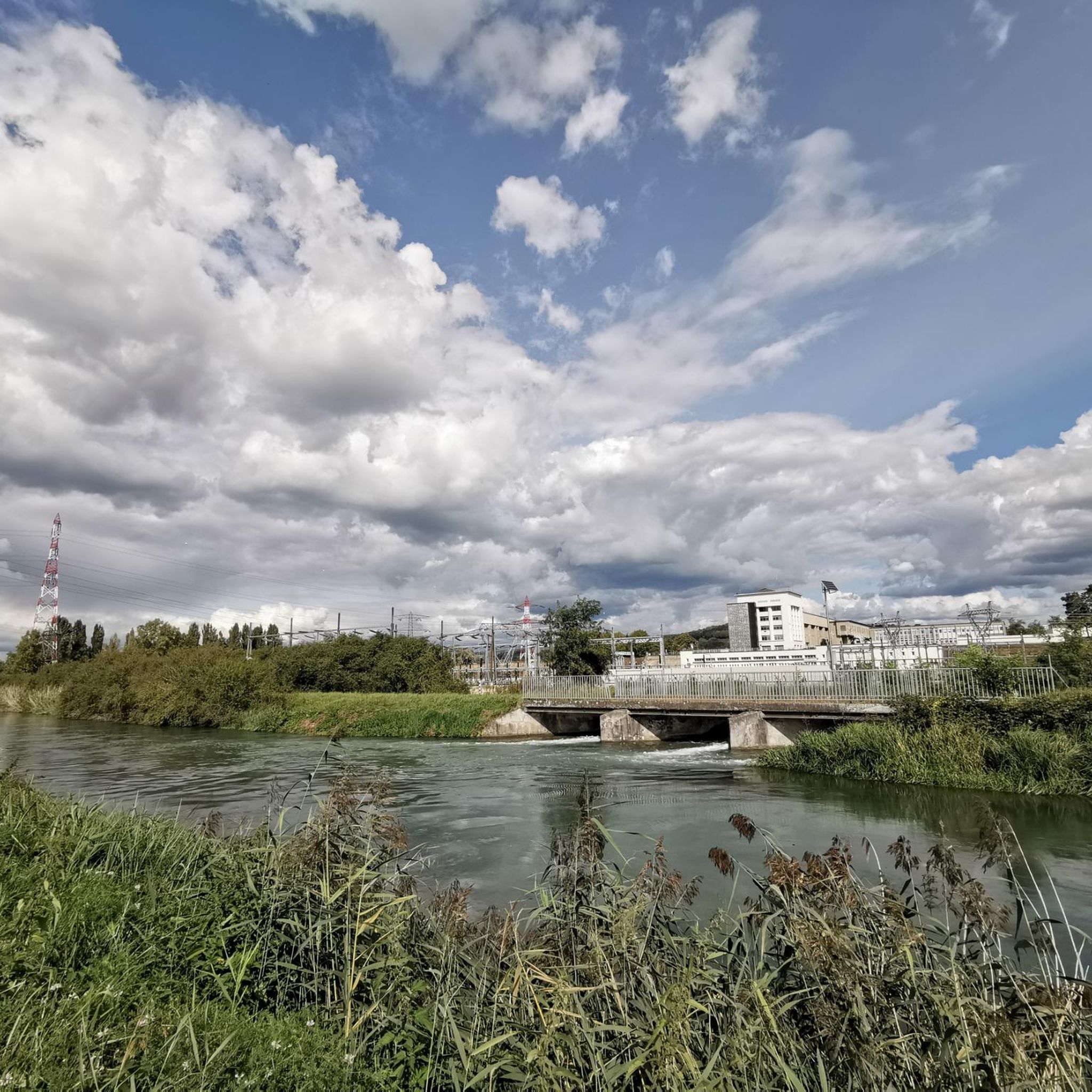
A nice road offering with a few small bumps but nothing to impact ones speed. Enjoy the beautiful Alsatian scenery and architecture along the way.
0
0

A classic in the region, only rises slightly.
1
0
Frequently Asked Questions
How many road cycling routes are available around Wahlbach?
There are over 250 road cycling routes around Wahlbach, offering a wide variety of options for cyclists of all skill levels. The komoot community has explored more than 250 routes in the area.
What kind of terrain can I expect when road cycling near Wahlbach?
Road cycling around Wahlbach is characterized by its diverse terrain within the Hunsrück region. You'll encounter rolling hills, verdant forests, and extensive meadows. The municipality itself sits at an average elevation of 433 meters above sea level, providing varied gradients, from gentle slopes to more challenging climbs, especially towards the Soonwald forest area.
Are there routes suitable for beginners or those looking for an easy ride?
Yes, Wahlbach offers approximately 50 easy road cycling routes. An example of a relatively easy route is the Wittersdorf – Altkirch loop from Hausgauen, which is 25.8 miles (41.5 km) long and leads through picturesque countryside with moderate elevation changes.
What do other road cyclists enjoy the most about road cycling in Wahlbach?
The road cycling routes in Wahlbach are highly rated by the komoot community, with an average score of 4.5 stars from over 150 reviews. Cyclists often praise the varied terrain, scenic views through forests and meadows, and the well-structured options provided by established cycling paths in the region.
Are there any long-distance road cycling routes near Wahlbach?
While specific long-distance routes directly from Wahlbach are not detailed, the region connects to broader networks like parts of the Schinderhannes and Hunsrück cycle paths. These paths offer opportunities for extended rides through diverse landscapes, including forests, meadows, and vineyards, and can be combined for longer excursions.
What are some notable landmarks or attractions I can see along road cycling routes?
The area around Wahlbach offers several points of interest. You might encounter historical sites such as the Grand Cannon of Zillisheim or the Zillisheim Drawbridge and Lock No. 35. The broader Hunsrück region also features historic castles like Waldeck Castle or Gemünden Castle, and unique experiences like the Simmern Tunnel on the Schinderhannes Cycle Path.
When is the best time of year for road cycling in Wahlbach?
The region's natural beauty is particularly pronounced in spring, when nature reawakens, and in autumn, when the forests display vibrant colors. These seasons offer a romantic and picturesque backdrop for road cycling, with generally pleasant temperatures. Summer also provides good conditions, though some routes might be more exposed to sun.
Are there any circular road cycling routes available?
Yes, many routes around Wahlbach are designed as loops. For example, the popular Vue sur Wolschwiller – Bridge over the Ill in Fislis loop from Hausgauen is a 31.5-mile (50.7 km) trail offering varied terrain and scenic views. Another option is the Hausgauen <-> Grenzingen – Wittersdorf loop from Hausgauen, a moderate 35.9-mile (57.8 km) path.
Can I find routes with significant elevation gain for a more challenging ride?
Given Wahlbach's location in the Hunsrück region with an average elevation of 433 meters and its proximity to the Soonwald, many routes feature rolling hills and provide opportunities for significant elevation gain. Routes like the Vue sur Wolschwiller – Bridge over the Ill in Fislis loop from Hausgauen include over 530 meters of ascent, offering a good challenge.
Are there road cycling routes that pass through forests or shaded areas?
Absolutely. The Hunsrück region, including the nearby Soonwald, is known for its extensive woodlands. Many road cycling routes wind through these forests, providing shaded sections that are particularly pleasant during warmer months. You'll find routes that combine open meadows with lush, green forest passages.
Are there cafes or places to stop for refreshments along the routes?
While specific cafes are not listed for every route, the region's charming towns and villages, such as Bacharach on the Rhine, offer opportunities for refreshment stops. Many routes are designed to pass through or near these settlements, allowing cyclists to find cafes or pubs. For example, the Wittersdorf – Riverside café loop from Hausgauen suggests a route that includes a riverside cafe.
What is the most popular road cycling route in the area?
According to the komoot community, the most popular road cycling route is the Vue sur Wolschwiller – Bridge over the Ill in Fislis loop from Hausgauen. This 31.5-mile (50.7 km) trail is favored for its varied terrain and scenic views, typically taking about 2 hours and 18 minutes to complete.
Most popular attractions around Wahlbach

Get inspired with the komoot mobile app


Explore more
Browse the best Road cycling routes in other regions.
