The best running trails around Sainte-Cécile-D'Andorge
4.3
(14)
389
runners
54
runs
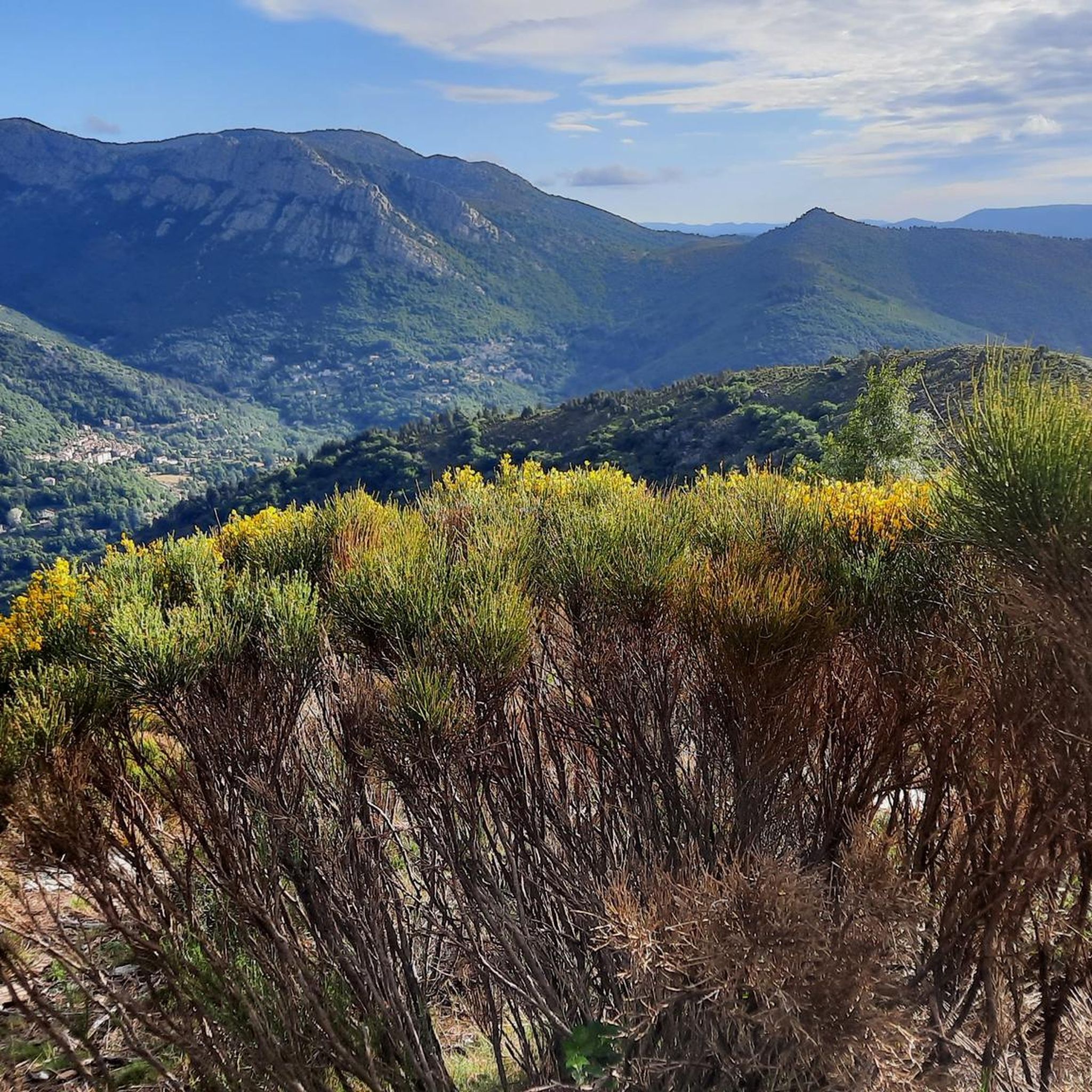
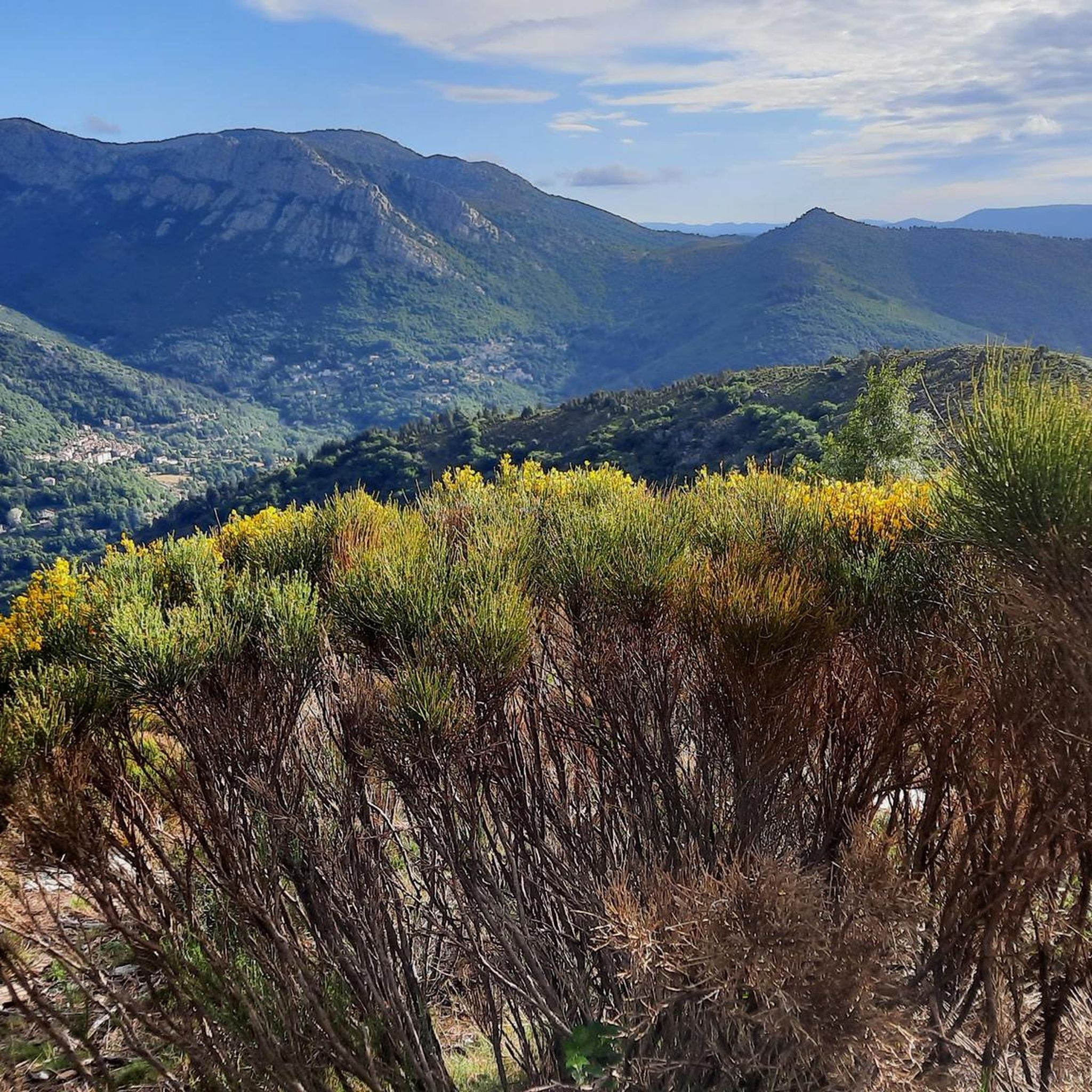
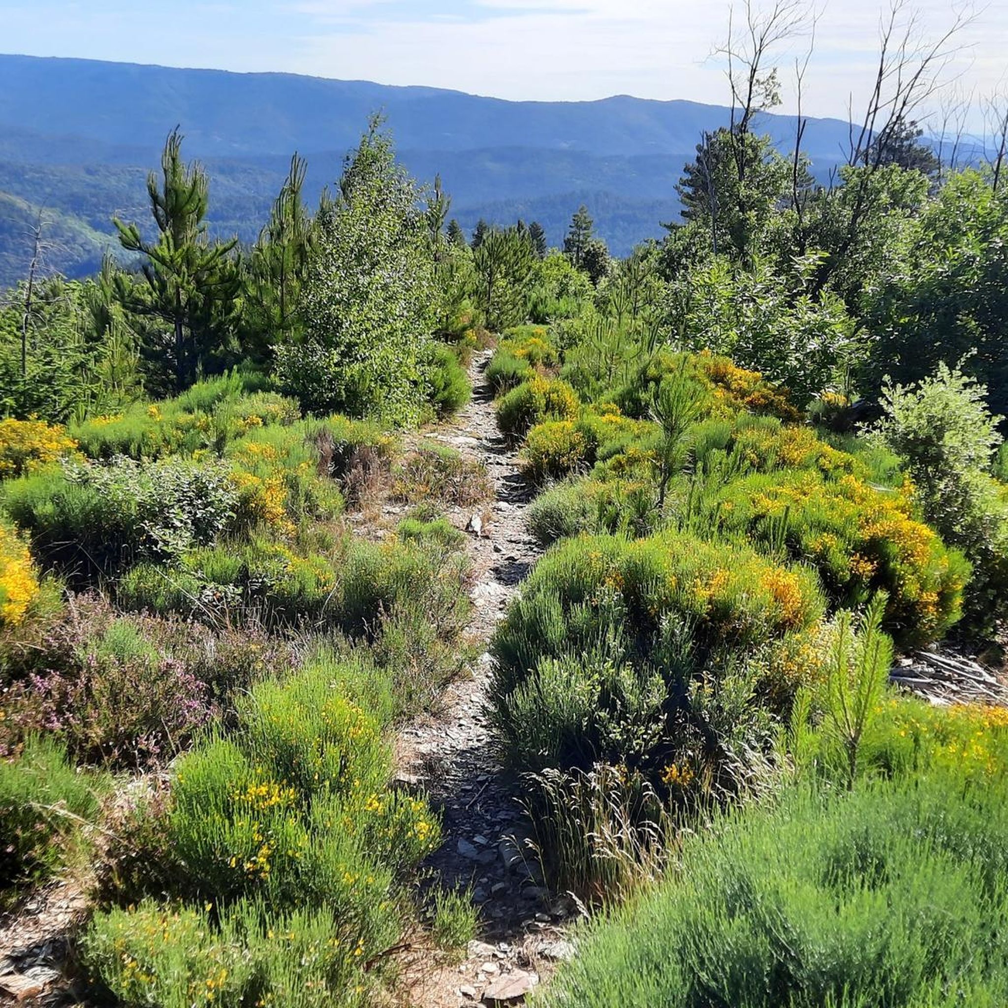
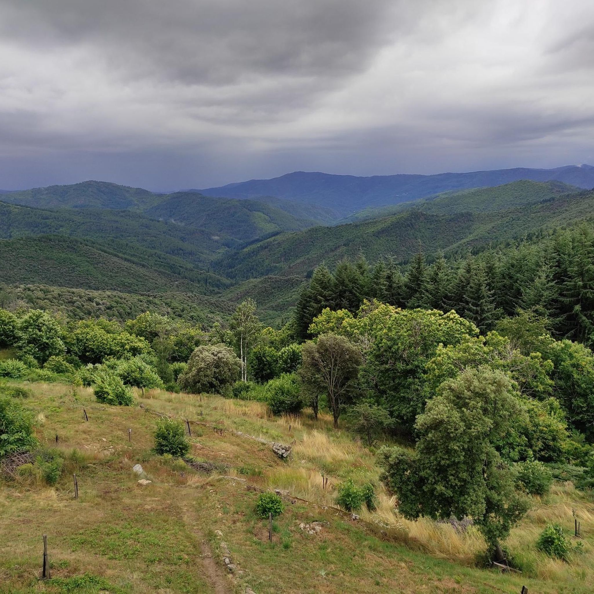
Jogging around Sainte-Cécile-D'Andorge offers a variety of running routes through varied terrain. The region features rolling hills and valleys, with routes often traversing wooded areas and open countryside. Elevations on these paths range from gentle inclines to more challenging ascents, providing options for different fitness levels. There are 50 jogging routes available in the area, catering to both easy and more difficult preferences.
Best jogging routes around Sainte-Cécile-D'Andorge
- The most popular jogging route is Bathing place loop from Peyremale,…
Last updated: October 11, 2026
15
runners
6.35km
00:40
70m
70m
Moderate run. Good fitness required. Mostly paved surfaces. Suitable for all skill levels.
5.0
(5)
13
runners
6.67km
00:42
60m
60m
Moderate run. Good fitness required. Mostly paved surfaces. Suitable for all skill levels.

10
runners
7.92km
00:51
110m
110m
Moderate run. Good fitness required. Mostly paved surfaces. Suitable for all skill levels.
2.0
(1)
6
runners
6.25km
00:49
220m
220m
Moderate run. Good fitness required. Mostly paved surfaces. Suitable for all skill levels.
6
runners
10.2km
01:22
320m
320m
Hard run. Very good fitness required. Mostly paved surfaces. Suitable for all skill levels.
Get access to more routes and recommendations from other explorers.
Already have an account?
Our route recommendations are based on thousands of hikes, rides, and runs completed by other people on komoot.
Start today with a free account
Your next adventure awaits.

Tips from the Community

On certain spots in the Cèze river, dams have been created, so there are deeper spots that are nice to swim in
2
0

View over the Luech to the noteworthy railway viaduct.
0
0
It would be very rocky and shallow. Not deep enough for swimming.
1
0
Very beautiful town, with typical streets and historic buildings
1
0

This castle, a UNESCO World Heritage site since 2011, is impressive! It is nicknamed the "vessel of the Cévennes" because its construction sometimes resembles the prow of a ship. Its once strategic position offers a panorama ranging from Mont Lozère to the Alps. The site is open to the public. It is really worth going there.
0
0
Between Bessèges and Peyremale, here is the perfect place to swim in the Cèze.
0
0

Dates from 1052, the old village was razed, used to be where the current car park now is.
1
0
Impressive Chateau de Portes is a UNESCO World Heritage Site. The old town of Portes was razed and rebuilt a little further down the road, the original village was where the carpark now is.
0
0
Frequently Asked Questions
How many running routes are available around Sainte-Cécile-D'Andorge?
There are over 50 jogging routes available in the Sainte-Cécile-D'Andorge area, offering a wide variety of options for different preferences and fitness levels.
What kind of terrain can I expect on the jogging trails in this region?
The jogging routes around Sainte-Cécile-D'Andorge feature varied terrain, including rolling hills and valleys. You'll often find yourself traversing wooded areas and open countryside, with elevations ranging from gentle inclines to more challenging ascents.
Are there easy running paths suitable for beginners?
Yes, the region offers several easy running paths perfect for beginners. For instance, the Running loop from Chamborigaud is an easy 2.8 miles (4.6 km) path with a relatively flat profile, ideal for a quick and gentle run.
Where can I find more challenging jogging trails?
For those seeking a challenge, Sainte-Cécile-D'Andorge has 13 difficult running routes. A good option is the Col de l'Ance – Tumulus de L'Elzière loop from Martinenches, which covers 6.3 miles (10.2 km) with significant elevation changes.
Can I find circular jogging routes in Sainte-Cécile-D'Andorge?
Absolutely. Many of the running routes in the area are circular, allowing you to start and finish at the same point. Examples include the popular Bathing place loop from Peyremale and the Portes Castle – Chateau de Portes loop from Portes.
Are the running trails in Sainte-Cécile-D'Andorge dog-friendly?
Many trails in the region are suitable for running with dogs, especially those through natural landscapes and wooded areas. It's always recommended to keep your dog on a leash, especially in areas with wildlife or near livestock, and to check local regulations for specific routes.
What scenic viewpoints or attractions can I see while running?
The region offers several points of interest. You might encounter historical sites like the Ancient Village of Gourdouze or the impressive Portes Castle. For panoramic views, look out for spots like Le Montadou or the Route des Crêtes – Panoramic View in Parc National des Cévennes.
Is parking available near the running routes?
Parking is generally available in the villages and towns where many routes begin, such as Peyremale, Chamborigaud, and Portes. Specific parking information can often be found on individual route pages on komoot.
How accessible are the jogging trails by public transport?
While some larger towns in the Cévennes region have limited public transport connections, many of the trailheads around Sainte-Cécile-D'Andorge are best accessed by car. It's advisable to check local bus schedules if you plan to rely on public transport, as services can be infrequent.
What do other runners say about the trails in Sainte-Cécile-D'Andorge?
The running trails in Sainte-Cécile-D'Andorge are highly rated by the komoot community, with an average score of 4.25 stars from over 6 reviews. Runners often praise the varied landscapes, from wooded paths to open valleys, and the options available for different ability levels.
When is the best time of year to go running in Sainte-Cécile-D'Andorge?
Spring and autumn are generally the best times for running in Sainte-Cécile-D'Andorge, offering pleasant temperatures and beautiful scenery. Summers can be warm, especially at midday, so early morning or late afternoon runs are recommended. Winters are milder but can have cooler, wetter conditions.
Are there any longer running routes for endurance training?
Yes, for longer runs, consider routes like the Col de l'Ance – Tumulus de L'Elzière loop from Martinenches, which is over 10 km (6.2 miles) and features significant elevation, making it suitable for endurance training.
Most popular routes around Sainte-Cécile-D'Andorge
Most popular attractions around Sainte-Cécile-D'Andorge

Get inspired with the komoot mobile app


Explore more
Browse the best Running Trails & Routes in other regions.
