The best road cycling routes around Waltenheim
4.7
(102)
1,520
riders
67
rides
Road cycling around Waltenheim offers a network of routes through a landscape characterized by rolling terrain, agricultural fields, and charming villages. The region features moderate elevation gains, making it suitable for various road cycling abilities. Routes often traverse open countryside, connecting local communities and providing a mix of scenic views.
Best road cycling routes around Waltenheim
- The most popular road cycling route is Knoeringe > Jettingen – Drinking Water Fountain loop from Sierentz, a 33.6 miles (54.1 km) trail that…
Last updated: October 11, 2026
4.7
(3)
94
riders
54.1km
02:20
360m
360m
Moderate road ride. Good fitness required. Mostly well-paved surfaces and easy to ride.
4.9
(16)
76
riders
49.9km
02:09
380m
380m
Moderate road ride. Good fitness required. Mostly well-paved surfaces and easy to ride.

4.0
(1)
32
riders
28.3km
01:14
70m
70m
Easy road ride. Great for any fitness level. Mostly well-paved surfaces and easy to ride.
14
riders
154km
07:25
1,810m
1,810m
Hard road ride. Very good fitness required. Some segments of this route may be unpaved and difficult to ride.
12
riders
154km
07:12
1,660m
1,660m
Hard road ride. Very good fitness required. Some segments of this route may be unpaved and difficult to ride.
Get access to more routes and recommendations from other explorers.
Already have an account?
Our route recommendations are based on thousands of hikes, rides, and runs completed by other people on komoot.
Start today with a free account
Your next adventure awaits.
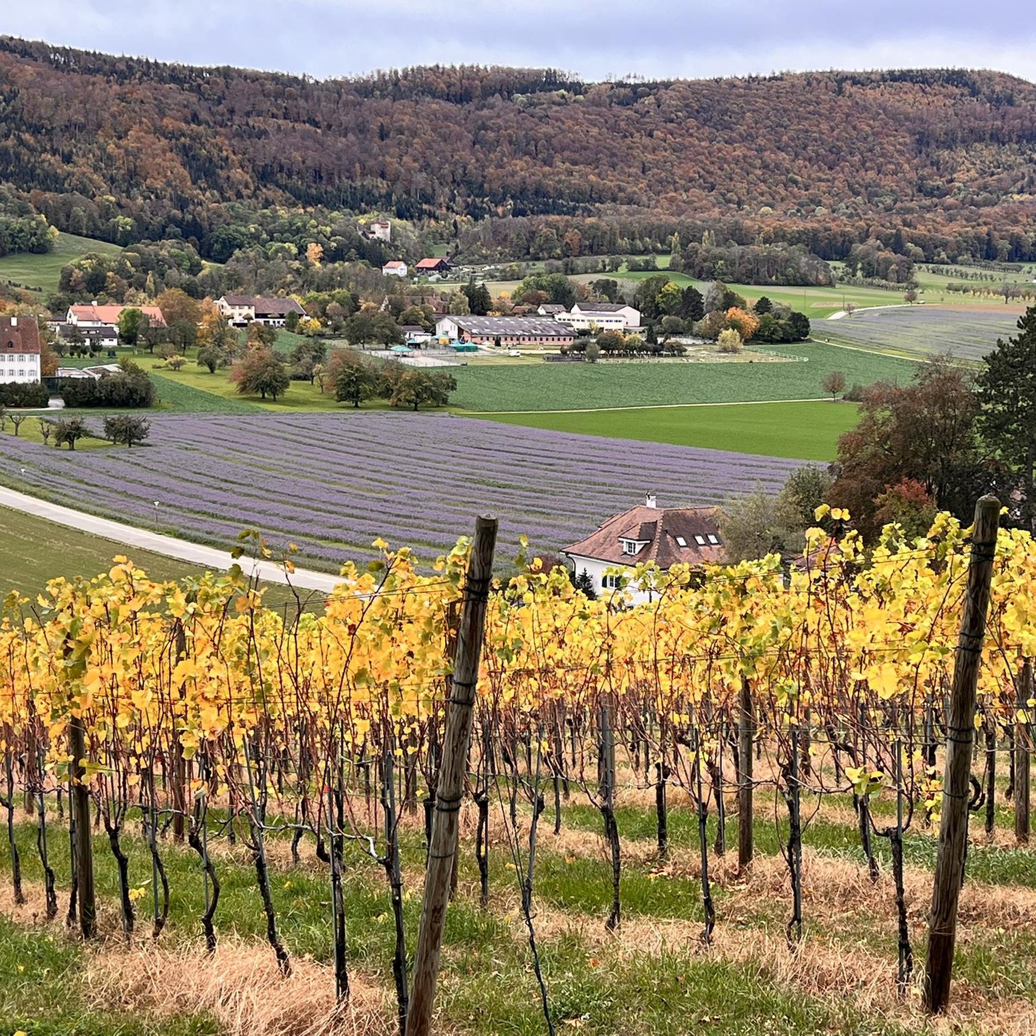
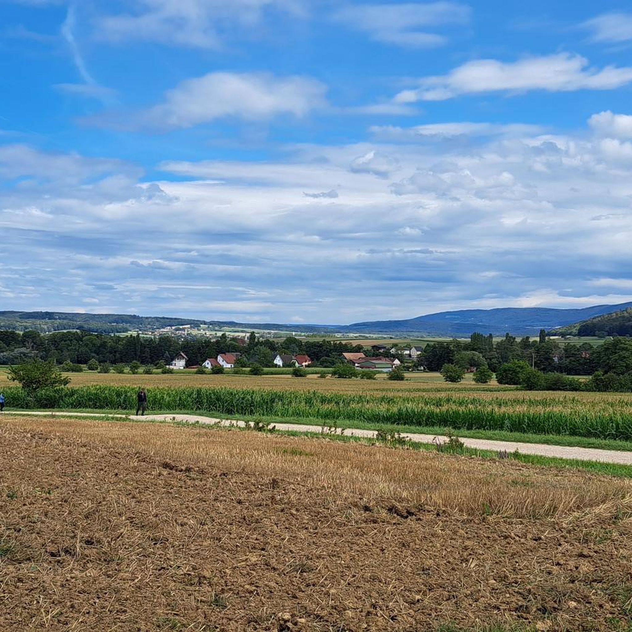
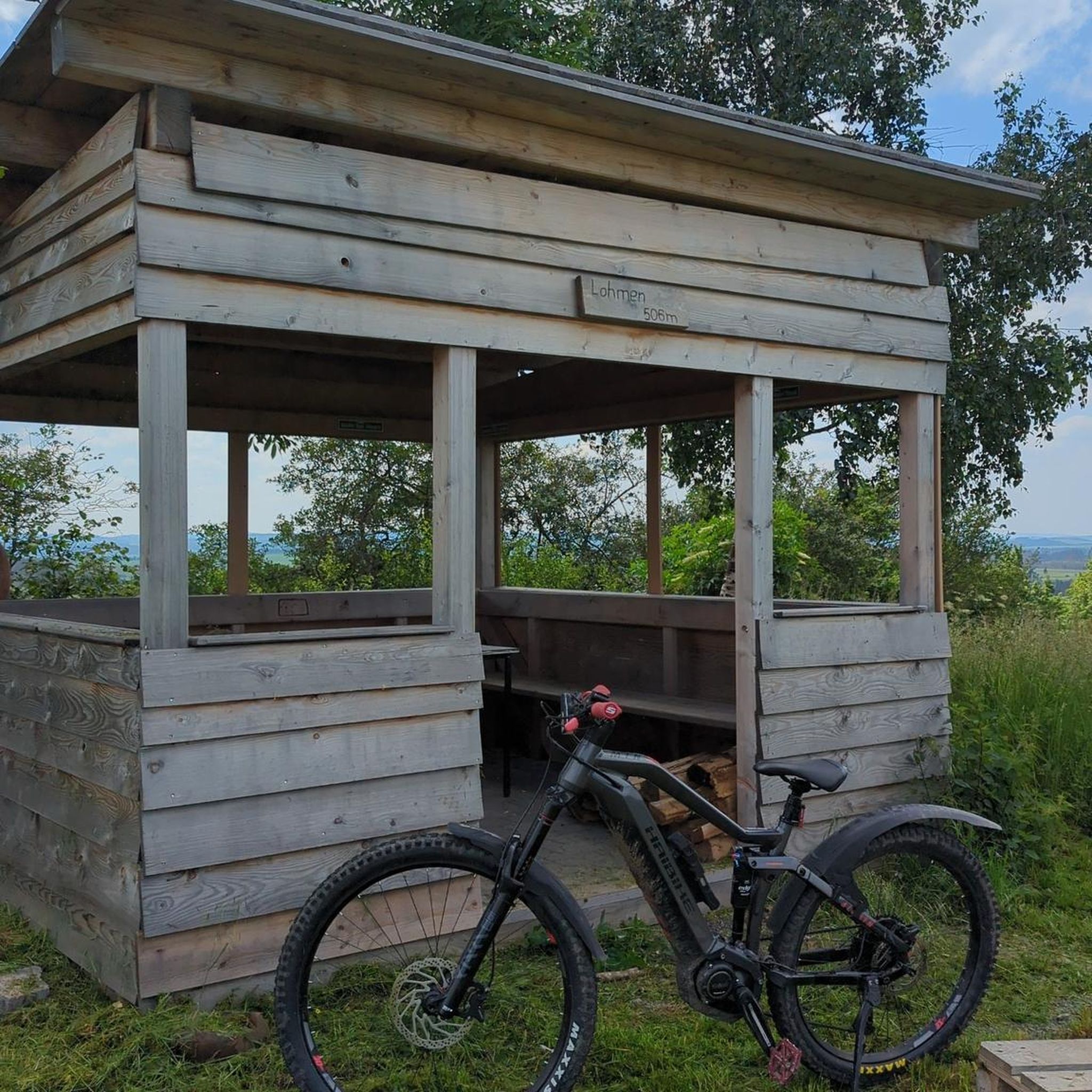
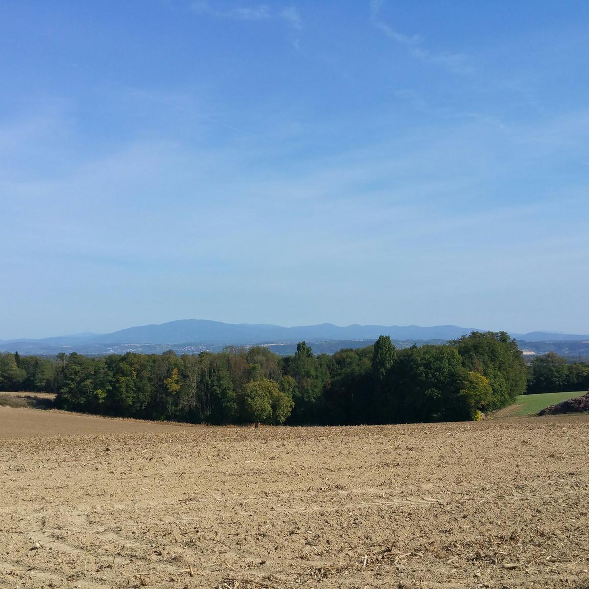

Tips from the Community


I can only agree with Mattia: it's a short stretch of road through fields, but otherwise completely unspectacular, not even worth a tip...
0
0

Biederthal is often reached by car from Basel / the Birstal valley, but this point here is nothing special in itself.
0
0

Covered wooden bridge, pedestrian and cycle path bridge.
7
0

A sign has now been posted: "No drinking water."
0
0
Frequently Asked Questions
What types of road cycling routes are available in Waltenheim?
Waltenheim offers a diverse network of road cycling routes, characterized by rolling terrain, agricultural fields, and charming villages. You'll find options ranging from easy, relatively flat paths to more challenging routes with moderate elevation gains. There are over 60 routes in total, with 13 easy, 42 moderate, and 11 difficult options.
Are there any beginner-friendly road cycling routes in Waltenheim?
Yes, Waltenheim has several easy road cycling routes perfect for beginners. One such route is the Saint-Rémy Church – Château de Hégenheim loop from Sierentz, which is 17.5 miles (28.1 km) long with minimal elevation, making it a great choice for a relaxed ride.
What are some challenging road cycling routes for experienced cyclists?
For experienced cyclists seeking a challenge, Waltenheim offers routes with more significant elevation. While specific 'difficult' routes are available, many of the moderate routes, such as the Knoeringe > Jettingen – Drinking Water Fountain loop from Sierentz, feature varied terrain and moderate climbs, providing a good workout over 33.6 miles (54.1 km) with over 1,100 feet (350 meters) of elevation gain.
Are there any loop routes for road cycling in Waltenheim?
Yes, many of the road cycling routes in Waltenheim are designed as loops, allowing you to start and finish at the same point. Examples include the popular Pretty village center 🏘 – Knoeringe > Jettingen loop from Sierentz, a 31.0 miles (49.9 km) route, and the Riverside open-air tavern – Wittersdorf loop from Sierentz, which covers 30.6 miles (49.3 km).
What is the best time of year to go road cycling in Waltenheim?
The best time for road cycling in Waltenheim is typically during the spring, summer, and early autumn months. During these seasons, the weather is generally mild, and the agricultural fields and villages are at their most picturesque. Summer conditions are usually favorable, though it's always wise to check local forecasts.
What can I expect regarding elevation on Waltenheim's road cycling routes?
Road cycling routes around Waltenheim feature moderate elevation gains, making the region suitable for various abilities. While there are no extremely steep mountain passes, you can expect rolling hills with climbs typically ranging from 150 to 400 meters (500 to 1,300 feet) over distances of 20-35 miles (30-55 km), offering a good balance of challenge and scenic cruising.
Are there any scenic viewpoints or natural attractions along the routes?
Yes, Waltenheim's routes often pass through scenic countryside. You can find natural attractions like the Istein Rapids and the impressive Isteiner Klotz and the Cliff Chapel. For panoramic views, consider routes that pass near the Mittlere Au Observatory or offer glimpses of the Kapf Limestone Quarry.
What are some interesting landmarks or places to explore near Waltenheim?
Beyond the cycling, Waltenheim and its surroundings offer several points of interest. You might encounter the historic Kembs Drawbridge on the Huningue Canal, or the impressive EDF Kembs Hydroelectric Power Plant. The Motte Castrale de Willer also offers a glimpse into the region's history.
What do other road cyclists say about the routes in Waltenheim?
The road cycling routes in Waltenheim are highly regarded by the komoot community, with an average rating of 4.7 out of 5 stars from over 80 reviews. Cyclists often praise the well-maintained paths, the charming village scenery, and the enjoyable mix of flat sections and rolling hills.
Are there any routes that pass by rivers or canals?
Yes, some routes in the Waltenheim area feature picturesque sections along waterways. The Riverside open-air tavern – Wittersdorf loop from Sierentz is a great example, leading through riverside landscapes. You might also encounter the Huningue Canal on some rides.
How long do road cycling routes in Waltenheim typically take to complete?
The duration of road cycling routes in Waltenheim varies depending on the distance and your pace. Many popular routes, such as the Knoeringe > Jettingen – Drinking Water Fountain loop from Sierentz (33.6 miles / 54.1 km), can take around 2 hours and 19 minutes. Shorter, easy routes might be completed in under 1.5 hours, while longer, more challenging ones could take 3 hours or more.
Are there any gravel sections on the road cycling routes?
While primarily road cycling, some routes might include short, easy-to-ride gravel sections. For example, the route It's gravel, but easy to ride loop from Sierentz specifically mentions this, offering a 19.6 miles (31.5 km) ride with minimal elevation that is suitable for road bikes despite the mixed surface.
Most popular routes around Waltenheim
Most popular attractions around Waltenheim

Get inspired with the komoot mobile app


Explore more
Browse the best Road cycling routes in other regions.
