The best walks and hikes around Luffendorf
4.6
(1079)
4,970
hikers
204
hikes
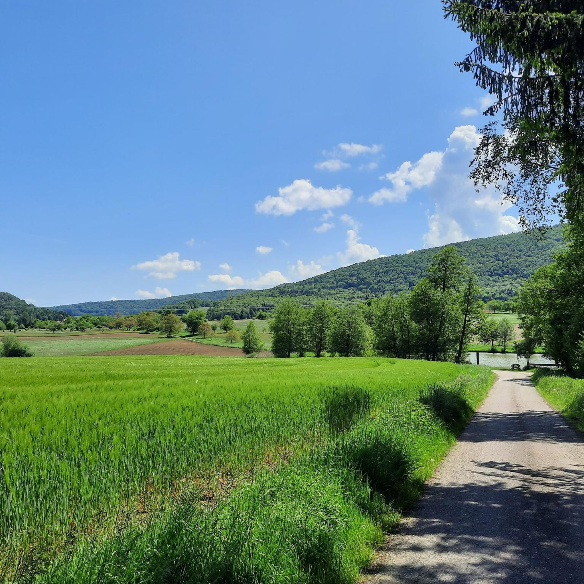
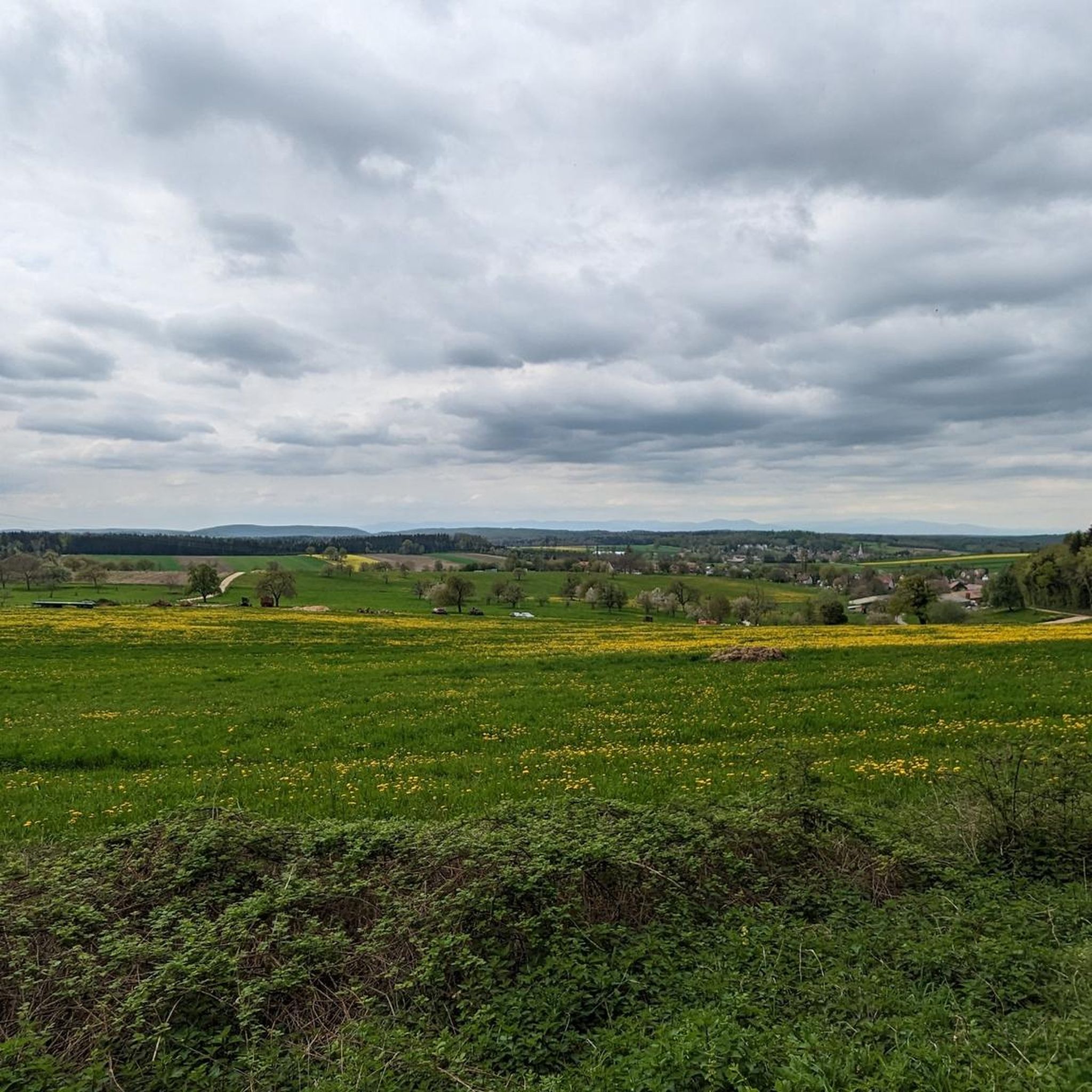
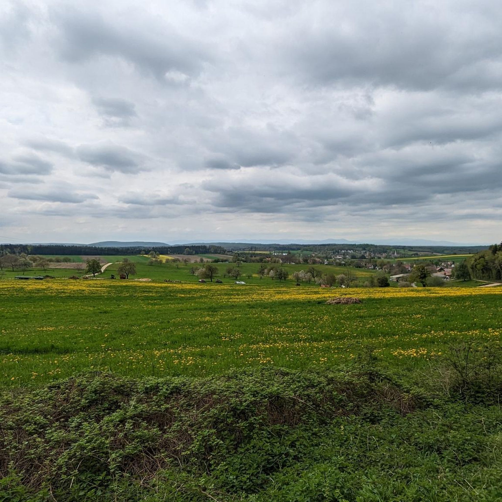
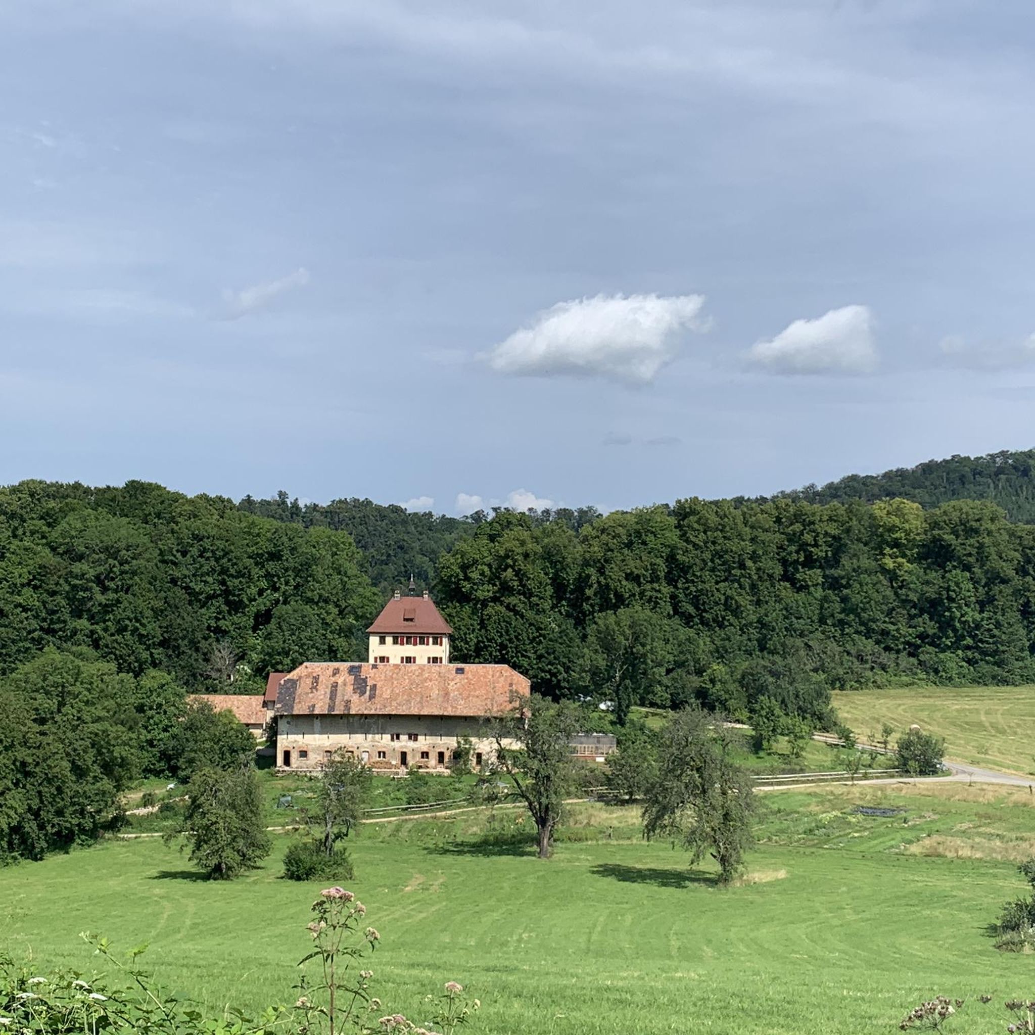
Hiking around Luffendorf offers a diverse landscape characterized by rolling hills, historical sites, and natural water features. The region features a mix of open terrain and forested sections, with trails often leading past castles and sources of local rivers. Elevations are generally moderate, providing accessible paths for various skill levels.
Best hiking trails around Luffendorf
- The most popular hiking route is Oberlarg and Morimont Castle, a 5.4 miles (8.6 km) trail that takes 2 hours 31 minutes to complete.…
Last updated: November 6, 2026
4.5
(35)
125
hikers
8.63km
02:32
240m
240m
Moderate hike. Good fitness required. Mostly walkable paths. Sure-footedness required.
4.7
(17)
34
hikers
12.5km
03:39
340m
340m
Moderate hike. Good fitness required. Easily walkable paths.

4.9
(7)
24
hikers
11.0km
02:55
110m
110m
Moderate hike. Good fitness required. Easily walkable paths.
4.7
(3)
31
hikers
2.34km
00:36
10m
10m
Easy hike. Easily walkable paths.
4.2
(6)
12
hikers
18.6km
05:29
550m
550m
Hard hike. Very good fitness required. Easily walkable paths.
Get access to more routes and recommendations from other explorers.
Already have an account?
Our route recommendations are based on thousands of hikes, rides, and runs completed by other people on komoot.
Start today with a free account
Your next adventure awaits.

Tips from the Community

Dozens of old boundary stones line the path
0
0

A beautiful chapel along the way, with an interesting information panel about the escape of a French officer during World War II.
0
0

Mörsberg Castle, sometimes called the "Alsatian Pierrefonds," contains impressive remains of the defensive structures surrounding its keep: the flanking tower, which defended the former lodge with several window openings, and the enormous vaulted cellar, more than 50 meters long.
0
0

The boundary markers mark the border and demarcate the territory. After the Franco-Prussian War (1870-71), Alsace became German and a D replaced the fleur-de-lis. After the First World War (1914-18), Alsace became French again and an F was carved over the D, which sometimes still appears, despite the oblique erasure. 1743: Ancien Régime, likely installation of the old boundary markers with the crozier of the former bishopric of Basel and the fleur-de-lis. 1817: The Bernese bear replaced the bishop's crozier following the Congress of Vienna (1815), which reorganized Europe after the fall of Napoleon and assigned the territory of the former bishopric of Basel to the canton of Bern.
1
0

The monastery complex is better preserved than the already rather dilapidated fountain, which is in dire need of renovation. Water seeps out from the bottom, so you have to be careful to keep your feet dry when filling your water bottle. The fountain is somewhat hidden; if you don't know about it, you'll probably drive right past it.
0
0

Good spot for a photo. The path around the lake offers many opportunities to stand on the shore.
0
0

The place has seen better days, charm of the abandoned, beautiful lake
0
0

Beautiful pond on the edge of the forest. Many paths lead through the woods, enough to make a nice little outing from Vendlincourt.
0
0
Frequently Asked Questions
How many hiking trails are available around Luffendorf?
Luffendorf offers a wide variety of hiking experiences with over 200 trails. These routes cater to different skill levels, including 79 easy, 102 moderate, and 26 difficult options, ensuring there's something for everyone.
What kind of terrain can I expect on hikes in Luffendorf?
The Luffendorf region is characterized by diverse terrain, including rolling hills, open fields, and forested sections. Many trails lead past historical sites like castles and natural water features such as river sources and ponds. Elevations are generally moderate, making the paths accessible.
Are there any easy, family-friendly hikes in Luffendorf?
Yes, Luffendorf has numerous easy trails suitable for families. A great option is the View of the Lake loop from Courtavon, which is a short 2.3 km route with minimal elevation gain, perfect for a relaxed outing.
What are some notable natural attractions or landmarks to see while hiking?
Hikers in Luffendorf can explore several interesting natural and historical landmarks. You might encounter the source of the Largue river, various ponds like Vendlincourt Pond, and several historic castles. The region also features beautiful lakes such as Lucelle Lake and Étangs de Bonfol.
Are there any circular hiking routes in the Luffendorf area?
Yes, many trails in Luffendorf are designed as circular routes, offering varied scenery without retracing your steps. An example is the Vendlincourt Pond – Birdwatching Cabin loop from Vendlincourt, which takes you through natural habitats around a pond.
What do other hikers say about the trails in Luffendorf?
The hiking trails in Luffendorf are highly regarded by the komoot community, boasting an average rating of 4.6 stars from over 850 reviews. Hikers often praise the region's diverse landscapes, the historical sites, and the well-maintained paths that cater to various abilities.
Are there any challenging hikes for experienced trekkers?
For those seeking a more demanding adventure, Luffendorf offers 26 difficult trails. A challenging option is the Rocher de la sorcière – Château du Morimont loop from Levoncourt, a nearly 19 km route with significant elevation changes, providing a strenuous workout and rewarding views.
Can I find trails that pass by historical castles?
Absolutely. Luffendorf's landscape is dotted with historical sites. The Oberlarg and Morimont Castle route is a prime example, leading you directly through historical castle grounds and the surrounding natural areas.
What is the typical duration for a moderate hike in Luffendorf?
Moderate hikes in Luffendorf vary in length and duration. For instance, the Oberlarg and Morimont Castle trail, which is 8.6 km long, typically takes around 2 hours and 31 minutes to complete. Longer moderate routes, like the 12.4 km Source de la Largue – Château du Morimont loop from Oberlarg, can take closer to 3 hours and 37 minutes.
Are there any trails that feature water sources or ponds?
Yes, the region is known for its natural water features. The Source de la Largue – Château du Morimont loop from Oberlarg will take you past the source of the Largue river. Additionally, the Vendlincourt Pond – Birdwatching Cabin loop from Vendlincourt explores beautiful pond areas.
What are some good options for a longer day hike in Luffendorf?
For a longer day hike, consider the Source de la Largue – Château du Morimont loop from Oberlarg. This moderate 12.4 km trail offers varied scenery, including a river source and a historic castle, and typically takes over 3.5 hours to complete.
Most popular routes around Luffendorf
Most popular attractions around Luffendorf

Get inspired with the komoot mobile app


Explore more
Browse the best Hikes in other regions.
