The best road cycling routes around Saint-Sauveur-Camprieu
4.7
(128)
2,622
riders
12
rides
Road cycling around Saint-Sauveur-Camprieu, located in the Gard department of southern France, offers diverse terrain within the Cévennes National Park. The region features a varied geological landscape with schist, granite, and limestone, providing a range of road surfaces and gradients. Elevations range significantly, with opportunities for climbs and descents, notably around Mont Aigoual, a prominent cycling challenge. The area includes extensive forests and picturesque valleys, creating scenic routes for road cyclists.
Best road cycling routes around Saint-Sauveur-Camprieu
- The most popular road cycling route is Meyrueis village – Meyrueis loop from Communauté de communes Causses Aigoual Cévennes, a 33.0 miles (53.0 km) trail that takes 2 hours 46 minutes to complete. This difficult route features significant elevation gain through varied landscapes.
- Another top favourite among local road cyclists is ⛲️⛲️ Salvation Fountain ⛲️⛲️ – Dourbies loop from Communauté de communes Causses Aigoual Cévennes, a difficult 39.0 miles (62.8 km) path. This route offers challenging climbs and descents through the region's natural features.
- Local road cyclists also love the Treves – Minier Pass loop from Saint-Sauveur-Camprieu, a 54.4 miles (87.6 km) trail leading through mountainous terrain, often completed in about 4 hours 39 minutes.
- Road cycling around Saint-Sauveur-Camprieu is defined by the challenging ascents of Mont Aigoual, diverse geological features, and scenic routes through valleys and forests. The network offers options for easy, moderate, and difficult ability levels.
- The routes in Saint-Sauveur-Camprieu are highly rated by the komoot community with an average score of 4.8 stars from over 120 reviews. More than 2500 road cyclists have used komoot to explore Saint-Sauveur-Camprieu's varied terrain.
Last updated: July 26, 2026
4.4
(9)
231
riders
72.5km
04:37
1,990m
2,000m
Hard road ride. Very good fitness required. Mostly well-paved surfaces and easy to ride.
4.9
(8)
378
riders
101km
06:04
2,560m
2,560m
Hard road ride. Very good fitness required. Mostly well-paved surfaces and easy to ride.

Sign up for free
5.0
(1)
30
riders
87.6km
05:23
2,000m
2,000m
Hard road ride. Very good fitness required. Some segments of this route may be unpaved and difficult to ride.
4.7
(3)
30
riders
29.7km
01:40
640m
640m
Moderate road ride. Good fitness required. Some segments of this route may be unpaved and difficult to ride.
67
riders
107km
05:41
2,080m
2,080m
Hard road ride. Very good fitness required. Mostly well-paved surfaces and easy to ride.
Get access to more routes and recommendations from other explorers.
Sign up for free
Already have an account?
Our route recommendations are based on thousands of hikes, rides, and runs completed by other people on komoot.
Start today with a free account
Your next adventure awaits.
Login or Signup

Tips from the Community

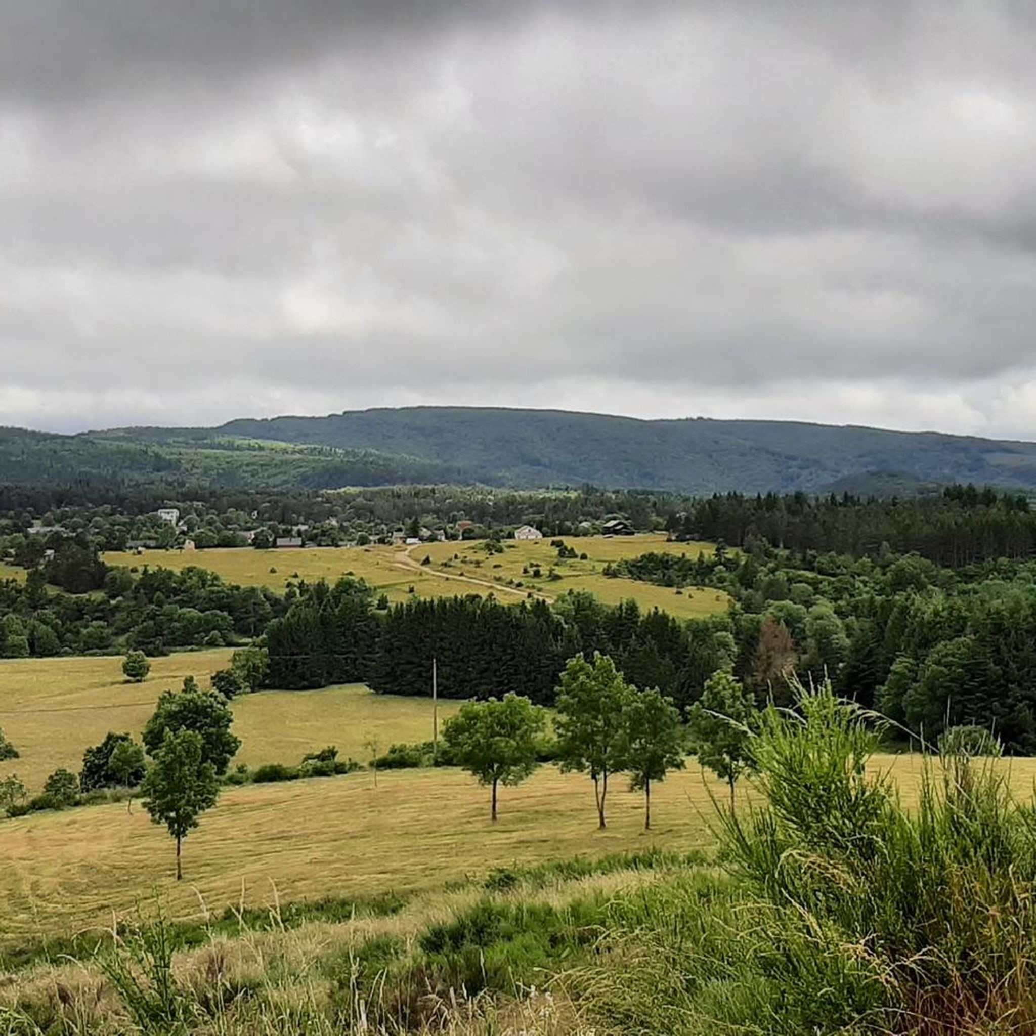
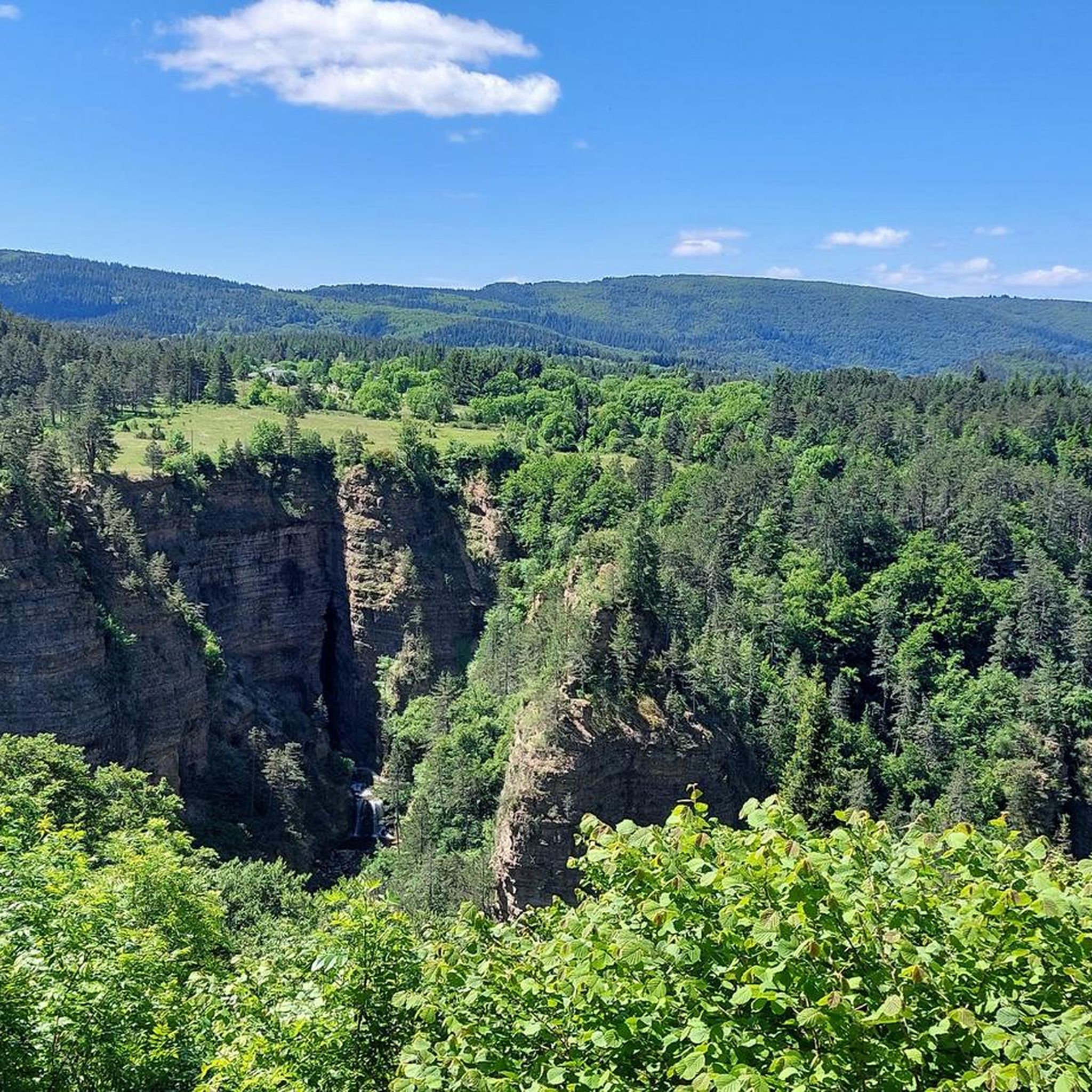
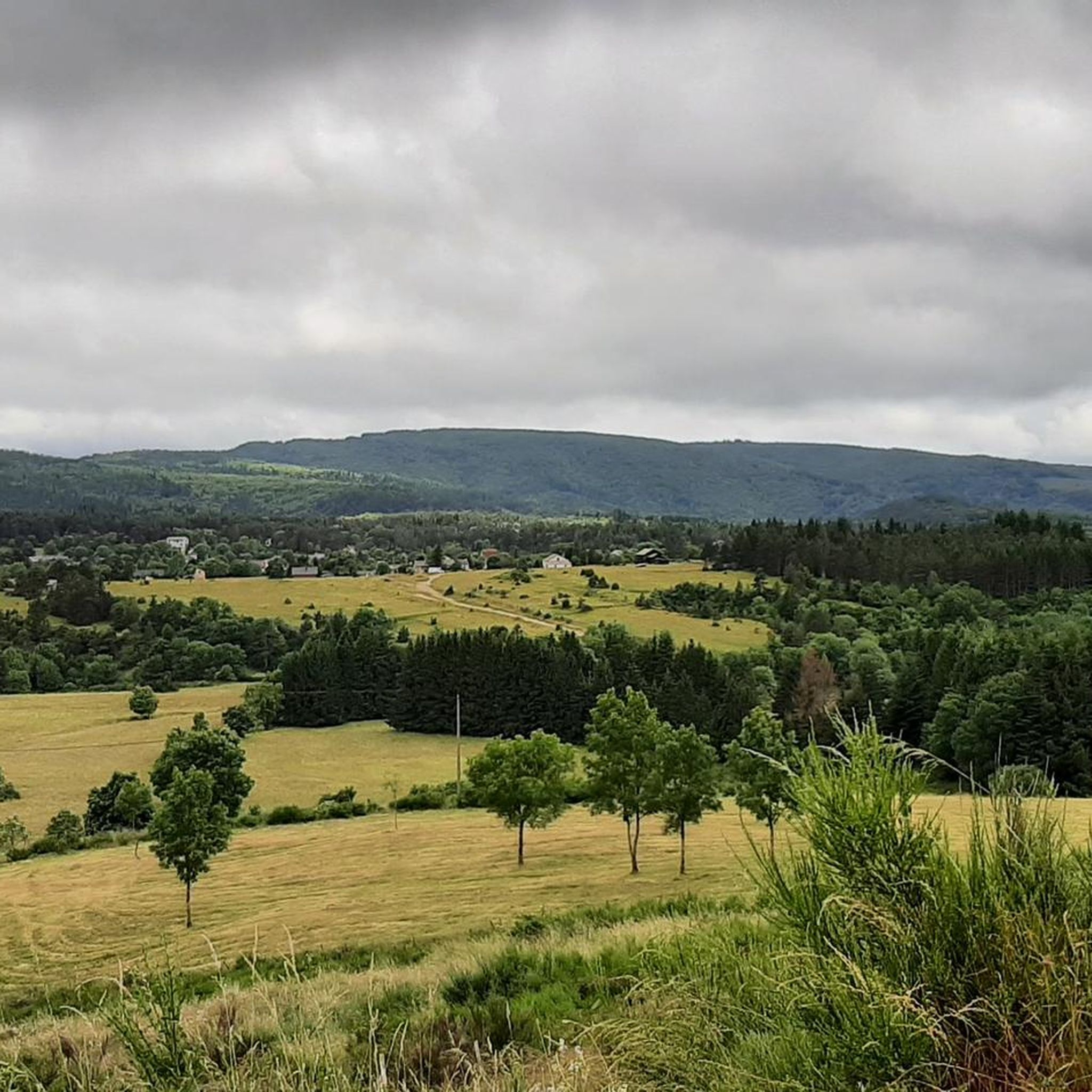
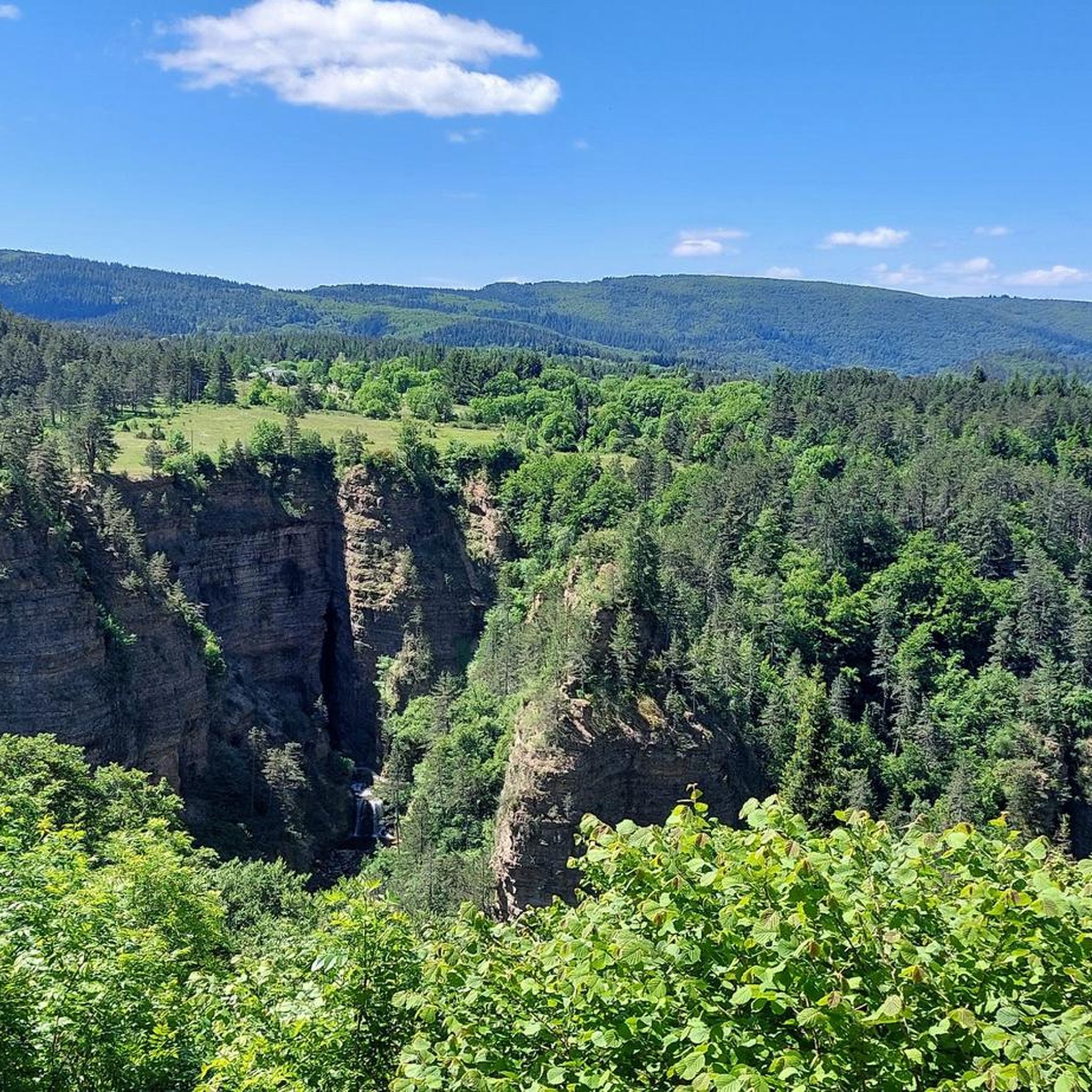
Sublime point, view of the Cévennes and the Mediterranean Sea in good weather
0
0


Under the title "France's Wild South," an episode of the British television series "National Parks – Protected Natural Wonders" on 3sat presents the Cévennes mountains. The accompanying text on the website states: "Lush green mountains, barren plateaus, and deep gorges characterize this landscape, which, unlike France's coasts, has not yet been discovered by mass tourism. It also boasts some of the country's most spectacular river landscapes." The compelling documentary, available in German, can be viewed in the media library at the following link: https://www.3sat.de/dokumentation/nationalparks-geschuetzte-naturwunder/nationalparks-geschuetzte-naturwunder-cevennen-frankreichs-wilder-sueden-102.html
0
0

This pass, discreetly nestled among the fir trees, is a great road and pedestrian crossing. It also allows cyclists and gravel enthusiasts to take the trails that go a little deeper into the coniferous forests.
0
0


Yes! Open every day during the season from 10:00 a.m. and otherwise closed on Mondays!
0
0

Lovely running climb, at the beginning through the forest it is nice to cycle. After that the road surface becomes a bit worse. Nice running climb.
0
0

This menhir attests to the presence of humans 5000 years ago.
1
1
Frequently Asked Questions
How many road cycling routes are available around Saint-Sauveur-Camprieu?
There are over 70 road cycling routes in the Saint-Sauveur-Camprieu area, offering a wide range of options for different skill levels and preferences. The komoot community has explored more than 2500 of these routes.
What are the typical elevation gains on road cycling routes in Saint-Sauveur-Camprieu?
Road cycling in Saint-Sauveur-Camprieu, situated within the Cévennes National Park, often involves significant elevation changes. Routes can feature climbs ranging from around 500 meters to over 1500 meters, with the average elevation in the commune being 1,112 meters. For example, the challenging Treves – Minier Pass loop from Saint-Sauveur-Camprieu includes over 1500 meters of ascent.
What are the difficulty levels of road cycling routes in Saint-Sauveur-Camprieu?
The routes around Saint-Sauveur-Camprieu cater to various abilities. You'll find a few easy routes, over 30 moderate routes, and nearly 40 difficult routes, many of which involve challenging climbs and descents through the region's diverse terrain.
When is the best time of year for road cycling in Saint-Sauveur-Camprieu?
The warmer months, typically from late spring to early autumn, are ideal for road cycling in Saint-Sauveur-Camprieu. During summer, you can also enjoy attractions like Lac du Bonheur for swimming and picnicking after your ride. The region's elevation means cooler temperatures at higher altitudes, even in summer.
What natural features and landmarks can I see while road cycling in Saint-Sauveur-Camprieu?
The region offers stunning natural beauty. You can cycle through extensive forests and picturesque valleys like the Bramabiau valley. Notable landmarks include the impressive Mont Aigoual, a prominent cycling challenge, and the Minier Pass. The area's varied geology, with schist, granite, and limestone, also creates diverse and interesting landscapes.
Are there any scenic viewpoints along the road cycling routes?
Yes, many routes offer breathtaking panoramic views, especially as you gain elevation. The area around Mont Aigoual is renowned for its vistas. You can also find specific viewpoints like the Beautiful view of the Cévennes, providing stunning perspectives of the national park's landscapes.
Are there road cycling routes suitable for families or beginners?
While many routes in Saint-Sauveur-Camprieu are moderate to difficult due to the mountainous terrain, there are a few easier options available. These routes typically feature less elevation gain and are suitable for those looking for a more relaxed ride or for families with older children comfortable with road cycling.
Where can I find parking for road cycling routes in Saint-Sauveur-Camprieu?
Parking is generally available in and around the village of Saint-Sauveur-Camprieu. Many routes start from central points or designated parking areas. It's advisable to check the specific route details on komoot for recommended starting points and parking information.
Are there loop trails for road cycling in Saint-Sauveur-Camprieu?
Yes, many of the road cycling routes in Saint-Sauveur-Camprieu are designed as loops, allowing you to start and finish in the same location. Examples include the Meyrueis village – Meyrueis loop and the Salvation Fountain – Dourbies loop, offering convenient circular journeys.
Which road cycling routes offer challenging climbs towards Mont Aigoual?
For a challenging ascent towards this iconic peak, consider the Mont Aigoual – Mount Aigoual loop from Saint-Sauveur-Camprieu. This difficult route covers nearly 50 km with significant elevation gain, providing a true test for road cyclists and rewarding them with panoramic views from the summit.
What do other cyclists say about road cycling in Saint-Sauveur-Camprieu?
The road cycling routes in Saint-Sauveur-Camprieu are highly regarded by the komoot community, boasting an average rating of 4.8 stars from over 120 reviews. Cyclists often praise the challenging ascents, diverse geological features, and scenic routes through valleys and forests within the Cévennes National Park.
What kind of terrain can I expect on road cycling routes in Saint-Sauveur-Camprieu?
The region offers a remarkably varied terrain. You'll encounter roads winding through areas of schist, granite, and limestone, which translates into diverse road surfaces and gradients. This geological variety, combined with extensive forests and valleys, ensures that rides remain interesting and visually stimulating.
Most popular routes around Saint-Sauveur-Camprieu
Most popular attractions around Saint-Sauveur-Camprieu

Get inspired with the komoot mobile app


Explore more
Browse the best Road cycling routes in other regions.
