The best road cycling routes around Châtillon
4.4
(332)
6,125
riders
195
rides
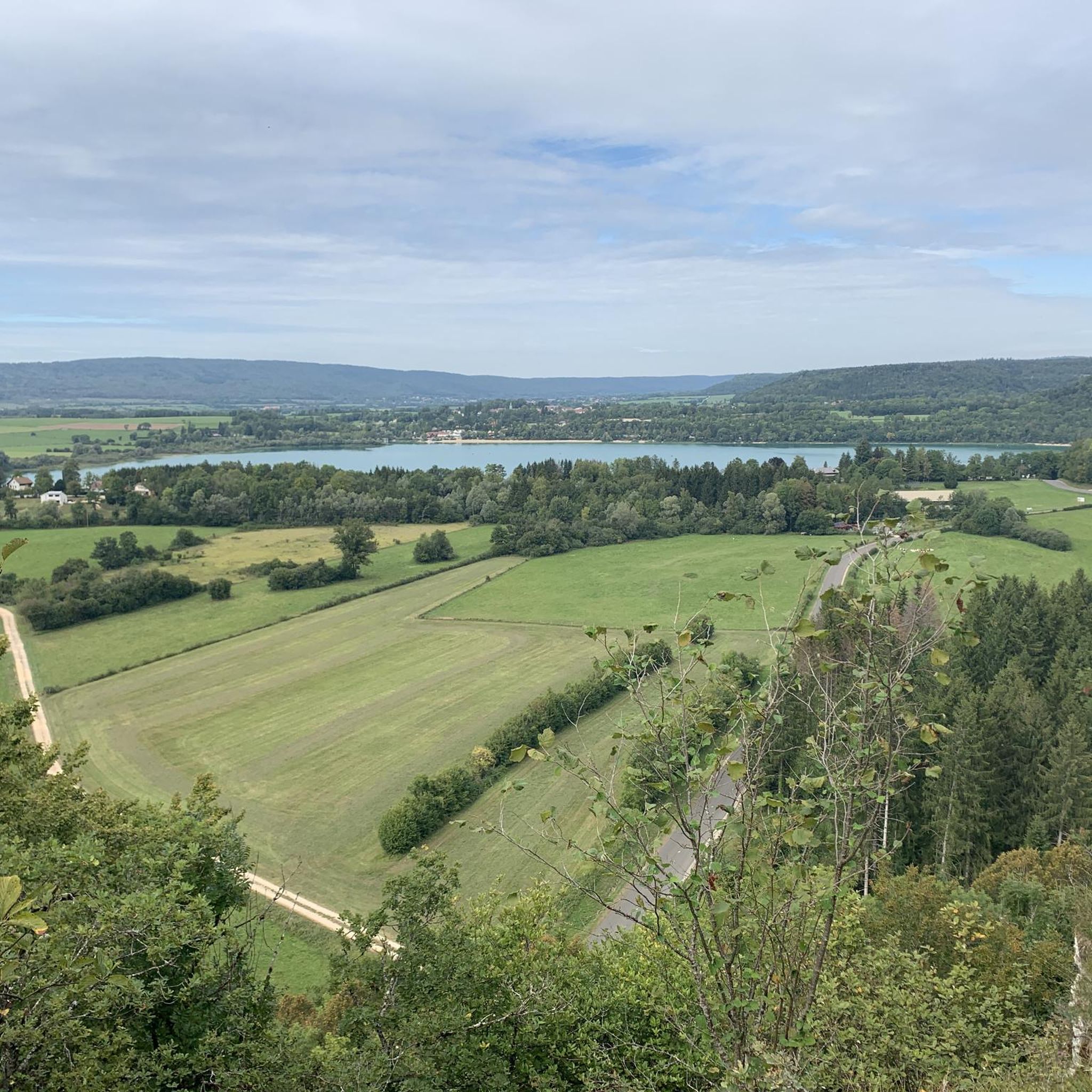
Road cycling routes around Châtillon are characterized by a landscape featuring numerous lakes and rolling hills. The region's terrain includes moderate ascents and descents, providing varied challenges for road cyclists. Routes often traverse areas with views of water bodies like Lac de Narlay and Chalain Lake. The presence of cols, such as Col de la Joux, indicates opportunities for elevation gain.
Best road cycling routes around Châtillon
- The most popular road cycling route is View of Lac de Narlay –…
Last updated: October 5, 2026
5.0
(4)
162
riders
26.7km
01:17
310m
310m
Moderate road ride. Good fitness required. Some segments of this route may be unpaved and difficult to ride.
4.2
(6)
53
riders
39.1km
01:48
490m
490m
Moderate road ride. Good fitness required. Mostly well-paved surfaces and easy to ride.

5.0
(2)
36
riders
Moderate road ride. Good fitness required. Mostly well-paved surfaces and easy to ride.
3.5
(2)
52
riders
55.3km
02:31
650m
650m
Moderate road ride. Good fitness required. Mostly well-paved surfaces and easy to ride.
5.0
(1)
45
riders
72.9km
03:30
910m
910m
Hard road ride. Very good fitness required. Mostly well-paved surfaces and easy to ride.
Get access to more routes and recommendations from other explorers.
Already have an account?
Our route recommendations are based on thousands of hikes, rides, and runs completed by other people on komoot.
Start today with a free account
Your next adventure awaits.
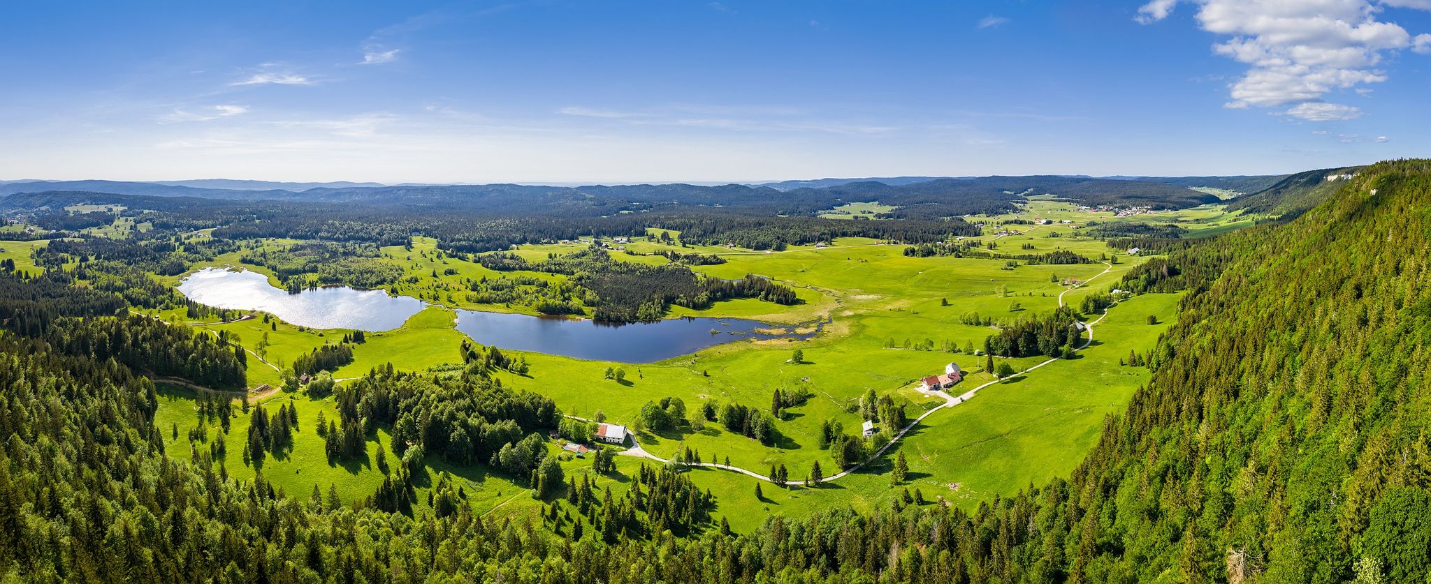
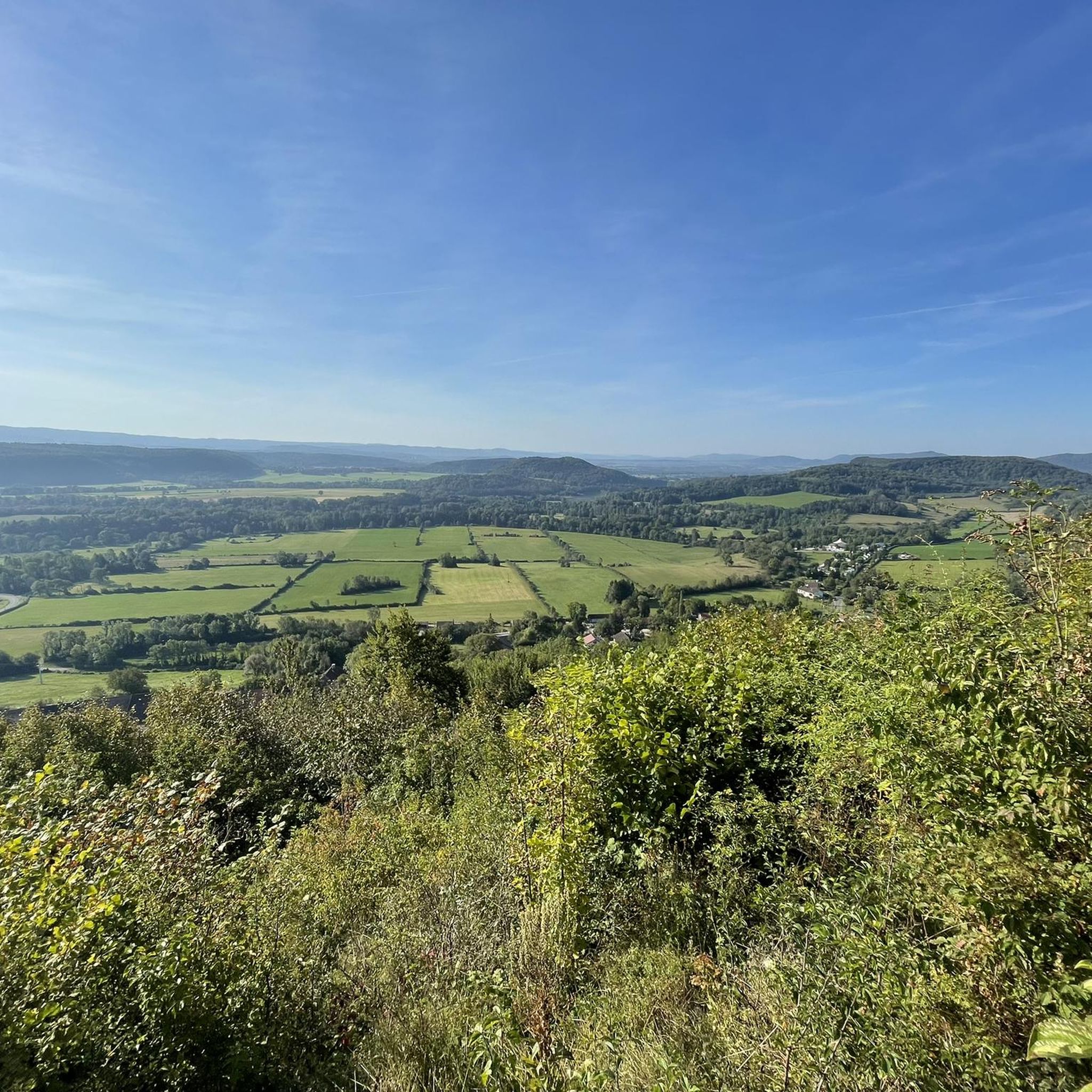

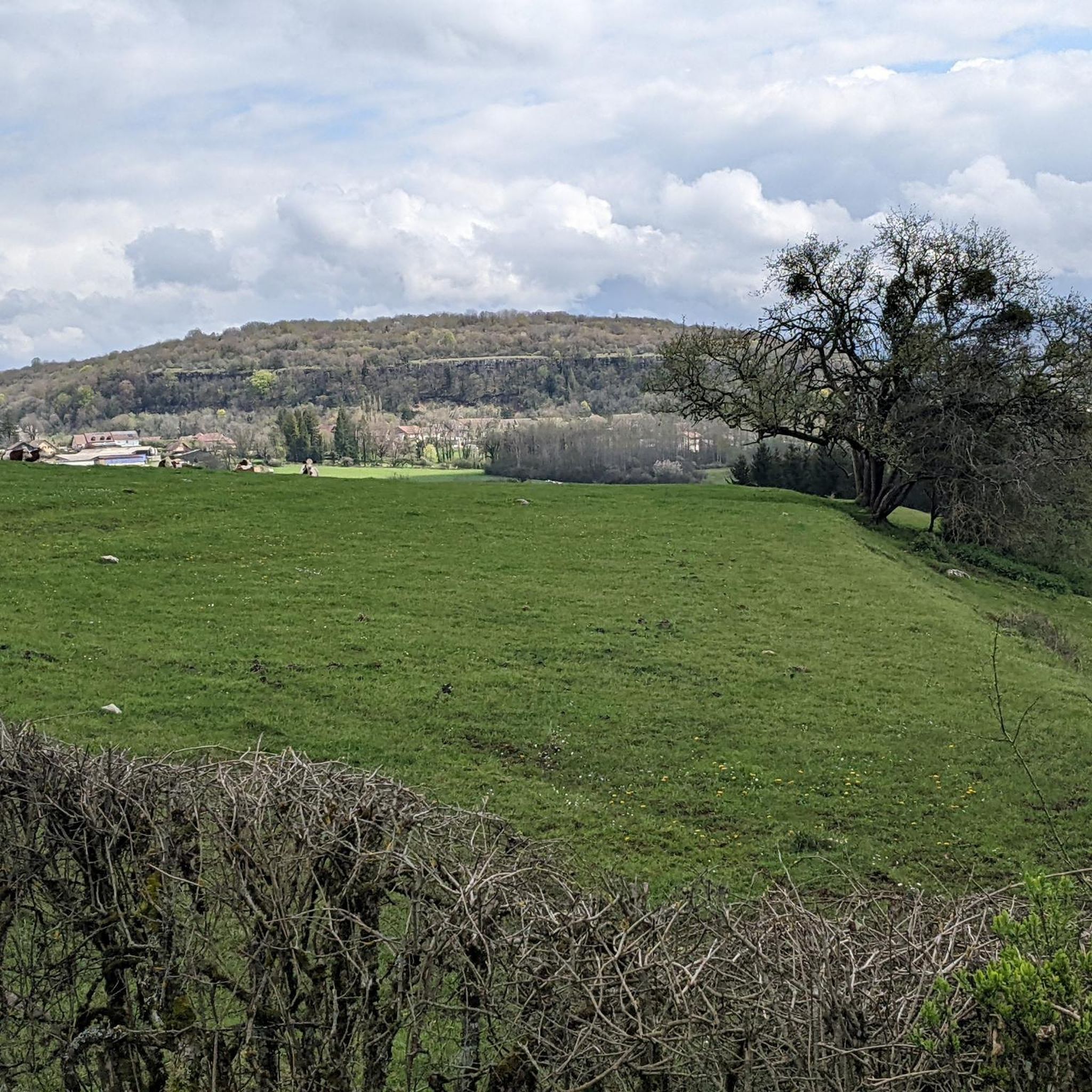
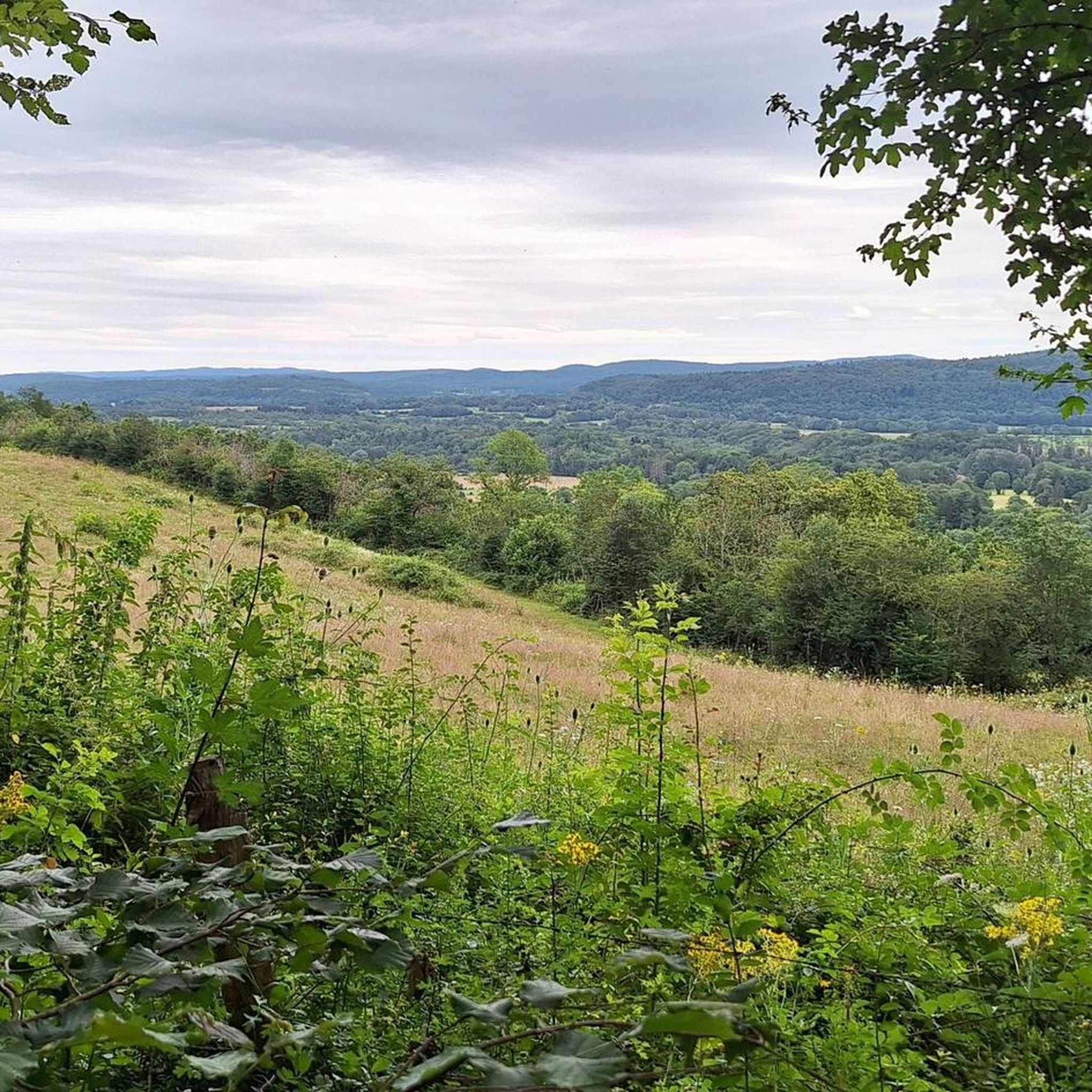
Other adventures around Châtillon

Tips from the Community

Small hike of 70 km today starting from Clairvaux, Cogna, Uxelles, Le Saugeot, Bonlieu, camping du lac de Narlay in Le Frasnois, Le Vaudioux, Pillemoine, Loulle, Mont sur Monnet, Fontenu, Doucier, Charcier, Route de la Clouterie below Clairvaux les Lacs for the return.
0
0

Very nice outing early in the morning
0
0

An imposing lake, of a remarkable blue!
0
0

Magnificent view of the Bief de la Ruine waterfall and a bridge of the former railway line.
7
0
Lacs de Maclu are two adjacent lakes in the western part of the French Jura, in the Jura department of Franche-Comté. They are located at an elevation of 779 m in a depression in the High Jura, in the region of the Five Lakes near Le Frasnois, about 12 km south of Champagnole. The Petit Maclu, located to the northeast, has an area of 5 hectares, a length of about 500 m, and a maximum width of about 120 m. Its greatest depth is 11 m. It lies entirely within the municipal territory of Le Frasnois.
6
0

Easy, shaded path, perfect for cooling off in hot weather.
0
0


On most maps it is called "Lac d’Ilay". The other name probably comes from the small island "Île de la Motte" which is located in the lake.
1
0
Frequently Asked Questions
How many road cycling routes are available around Châtillon?
There are over 190 road cycling routes around Châtillon, offering a wide variety of options for different skill levels and preferences.
What kind of terrain can I expect on road cycling routes around Châtillon?
The region around Châtillon is characterized by rolling hills and numerous lakes. You can expect moderate ascents and descents, with routes often providing scenic views of water bodies like Lac de Narlay and Chalain Lake. Some routes also feature cols, such as Col de la Joux, for those seeking more elevation gain.
Are there easy road bike trails suitable for beginners in Châtillon?
Yes, Châtillon offers a selection of easy road bike trails. Out of the 190+ routes, 21 are classified as easy, making them suitable for beginners or those looking for a more relaxed ride.
Are there challenging road cycling routes in Châtillon?
For experienced cyclists seeking a challenge, Châtillon has 45 difficult road cycling routes. These often include significant elevation changes, such as those found on routes like Col de la Joux – Lac de Clairvaux-les-Lacs loop from Marigny, which features nearly 1000 meters of elevation gain.
What do other road cyclists enjoy the most about road cycling in Châtillon?
The komoot community highly rates road cycling in Châtillon, with an average score of 4.36 stars from over 240 reviews. Cyclists often praise the varied terrain, the beautiful lake views, and the opportunities to explore the region's natural beauty.
Are there road cycling routes that offer scenic viewpoints or lake views?
Many routes in Châtillon are known for their scenic beauty, especially those around the numerous lakes. For example, the View of Lac de Narlay – Lac de Narlay loop from Doucier offers stunning views of Lac de Narlay, and the Chalain Lake spot loop from Châtillon provides picturesque sections around Chalain Lake. You can also find viewpoints like Ladoye Viewpoint or Roches Viewpoint along some routes.
Can I find routes that pass by waterfalls or other natural monuments?
Yes, the region around Châtillon is rich in natural attractions. Some routes may pass near highlights such as the Fan Waterfall, the Baume-les-Messieurs Tufa Waterfall, or the famous Hérisson Waterfalls. The area also features impressive gorges and caves like Grottes de Baumes.
Are there any circular road cycling routes around Châtillon?
Many of the road cycling routes in Châtillon are designed as loops, allowing you to start and end in the same location. Examples include the popular Petit Maclu Lake – Chalain Lake Viewpoint loop from Doucier and the View of Lac de Narlay – Lac de Clairvaux-les-Lacs loop from Marigny.
What are the typical distances for road bike trails in Châtillon?
Road cycling routes around Châtillon vary significantly in length. You can find shorter routes, such as the Chalain Lake spot loop from Châtillon at 26.5 km (16.5 miles), up to longer excursions like the Col de la Joux – Lac de Clairvaux-les-Lacs loop from Marigny, which covers nearly 68 km (42 miles).
What is the best time for road biking in Châtillon?
The best time for road biking in Châtillon is generally from spring through autumn, when the weather is mild and the landscapes are vibrant. Summer offers warm temperatures, ideal for enjoying the lake views, while spring and autumn provide cooler conditions and beautiful seasonal colors. Winter cycling is possible but may be limited by colder temperatures and potential snow or ice on higher elevation routes.
Is parking available for road cyclists in Châtillon?
Yes, parking is generally available in and around Châtillon, especially in towns and near popular starting points for routes. Many villages and tourist areas provide designated parking facilities, often free or with a small fee. It's advisable to check specific starting points for detailed parking information.
Are there road cycling routes with cafes or places to stop for refreshments?
Many road cycling routes in Châtillon pass through or near charming villages and towns where you can find cafes, bakeries, and restaurants. The region is known for its local produce and hospitality, offering plenty of opportunities to refuel and enjoy a break during your ride.
Most popular attractions around Châtillon

Get inspired with the komoot mobile app


Explore more
Browse the best Road cycling routes in other regions.
