The best cycling routes around Doucier
4.3
(819)
6,073
riders
25
rides
Touring cycling around Doucier is characterized by its location within the French Jura, offering a diverse landscape of glacial lakes and mountainous terrain. The region features numerous lakes, including Lac de Chalain, Lac de la Motte, and Grand Lac de Clairvaux, which provide tranquil routes. Cyclists encounter varied terrain, from mostly paved lakeside paths to routes traversing forests and valleys, with some challenging ascents in the Jura Mountains. The area's natural features, such as the Hérisson Valley waterfalls, contribute to…
Last updated: September 25, 2026
4.2
(5)
74
riders
21.8km
01:18
130m
130m
Easy bike ride. Great for any fitness level. Mostly paved surfaces. Suitable for all skill levels.
4.7
(36)
225
riders
24.7km
01:43
320m
320m
Moderate bike ride. Good fitness required. Mostly paved surfaces. Suitable for all skill levels.

4.1
(8)
45
riders
57.5km
03:42
690m
690m
Hard bike ride. Very good fitness required. Mostly paved surfaces. Suitable for all skill levels.
4.5
(4)
25
riders
9.33km
00:41
160m
160m
Moderate bike ride. Good fitness required. Mostly paved surfaces. Suitable for all skill levels.
5.0
(4)
23
riders
31.0km
02:07
500m
500m
Hard bike ride. Very good fitness required. Mostly paved surfaces. Suitable for all skill levels.
Get access to more routes and recommendations from other explorers.
Already have an account?
Our route recommendations are based on thousands of hikes, rides, and runs completed by other people on komoot.
Start today with a free account
Your next adventure awaits.

Tips from the Community

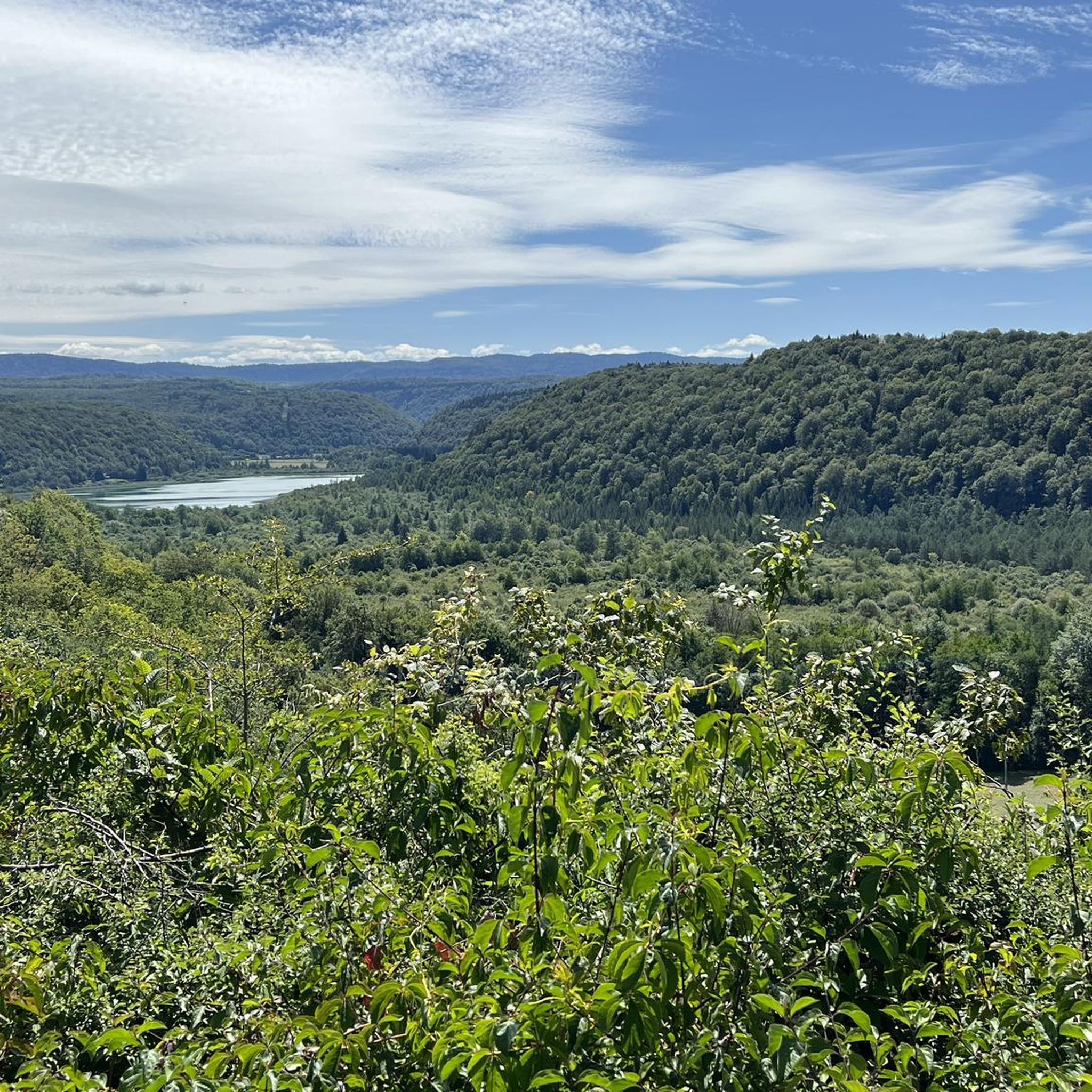
Small hike of 70 km today starting from Clairvaux, Cogna, Uxelles, Le Saugeot, Bonlieu, camping du lac de Narlay in Le Frasnois, Le Vaudioux, Pillemoine, Loulle, Mont sur Monnet, Fontenu, Doucier, Charcier, Route de la Clouterie below Clairvaux les Lacs for the return.
0
0

From the Maison des Cascades, a footpath leads up the gorge. A total of seven waterfalls can be admired. The highest falls 65m deep.
0
0

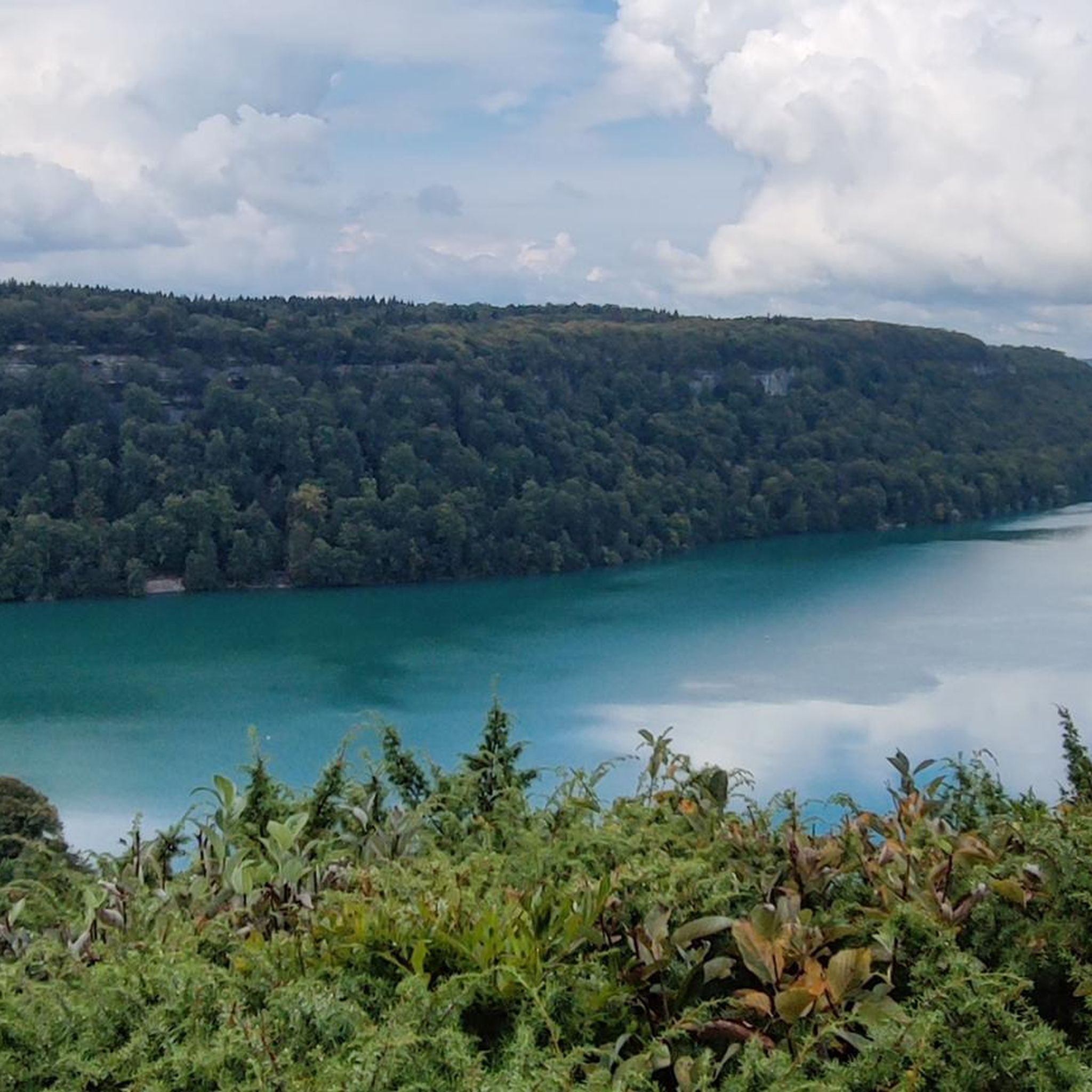
An imposing lake, of a remarkable blue!
0
0

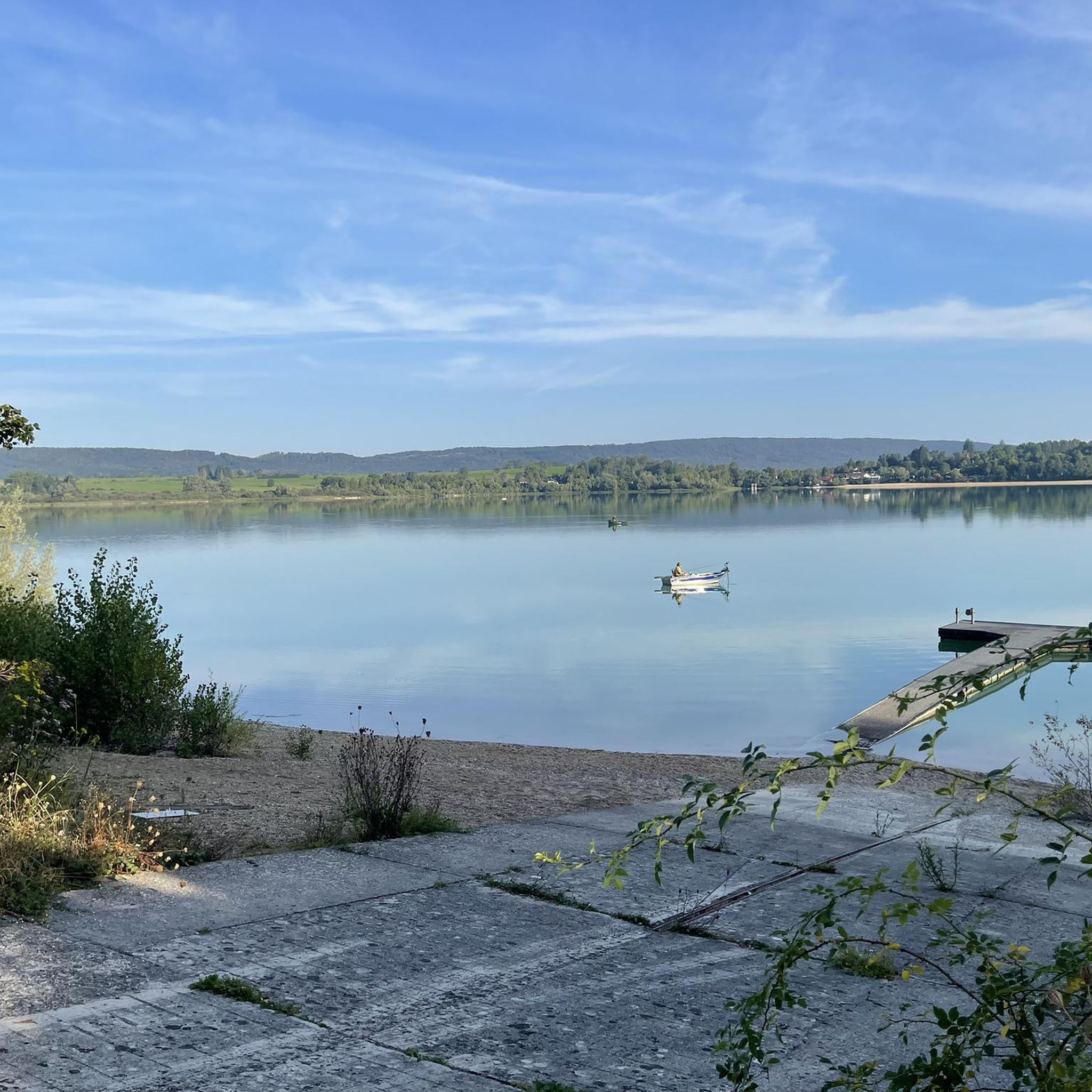
Lacs de Maclu are two adjacent lakes in the western part of the French Jura, in the Jura department of Franche-Comté. They are located at an elevation of 779 m in a depression in the High Jura, in the region of the Five Lakes near Le Frasnois, about 12 km south of Champagnole. The Petit Maclu, located to the northeast, has an area of 5 hectares, a length of about 500 m, and a maximum width of about 120 m. Its greatest depth is 11 m. It lies entirely within the municipal territory of Le Frasnois.
6
0

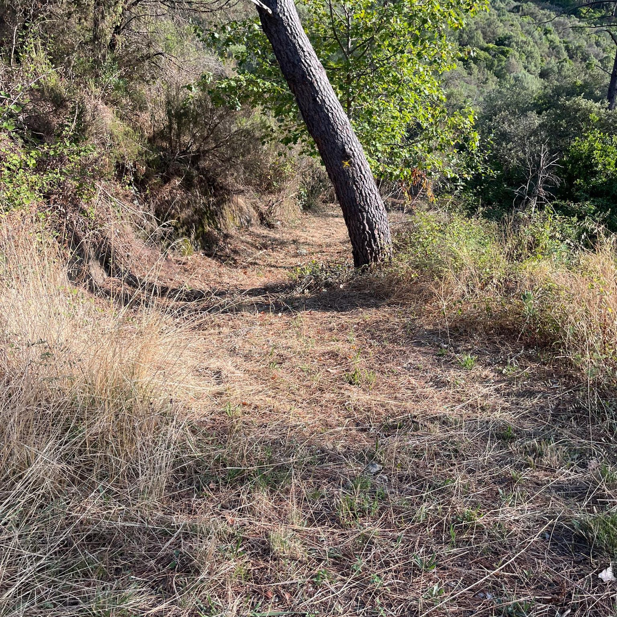
Easy, shaded path, perfect for cooling off in hot weather.
0
0

As you climb up to the Belvédère du Cirque de Ladoye, you’ll be rewarded with breathtaking panoramic views of limestone cliffs and lush valleys. The climb is tough, but the breathtaking scenery is worth every pedal stroke. Stop at the viewpoint to soak up the view and snap some photos. Enjoy the moment before continuing on through this magnificent landscape.
0
0

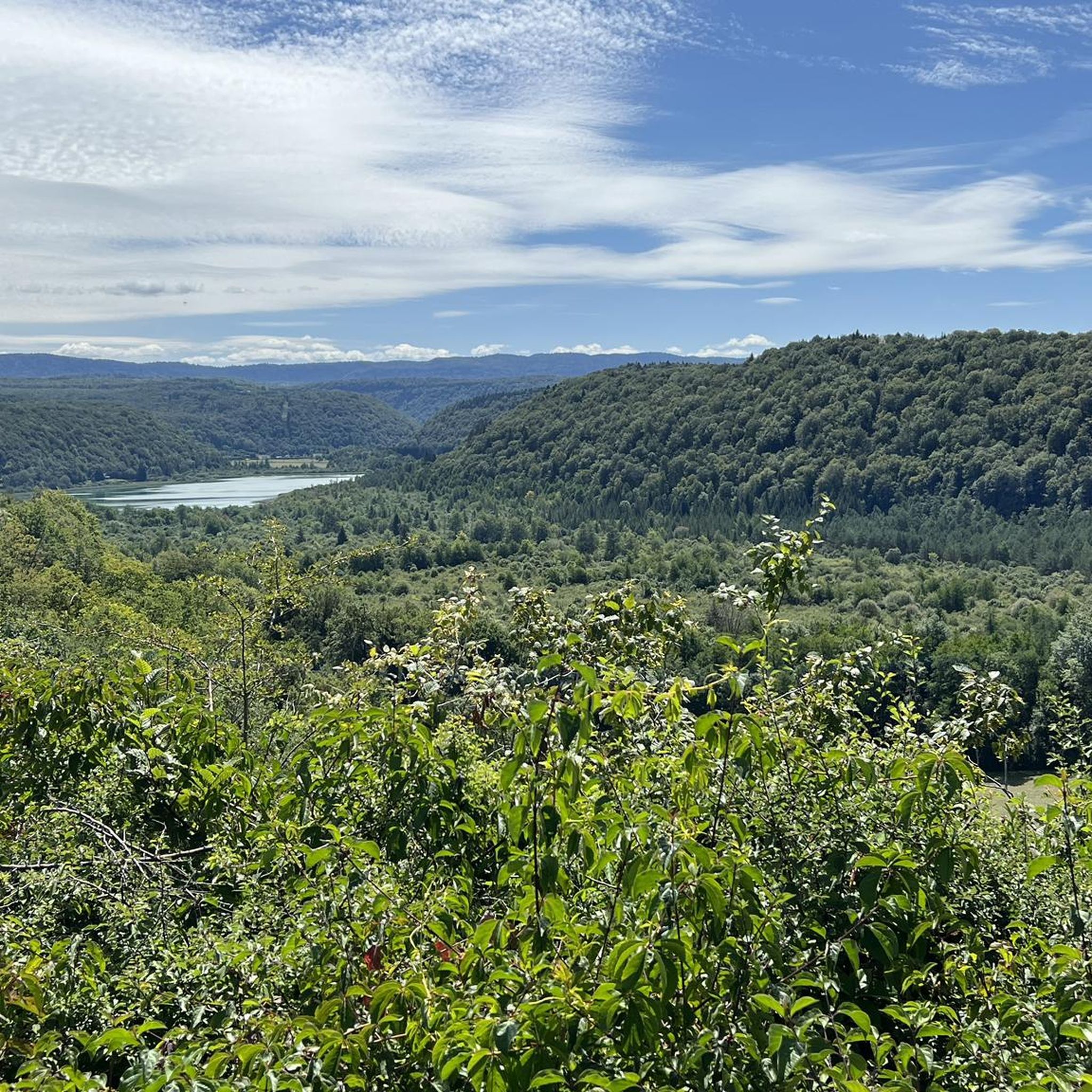
Also nice to make the walk/climb to the top of the mountains. The view is beautiful.
0
1
Frequently Asked Questions
How many touring cycling routes are available around Doucier?
There are over 30 touring cycling routes around Doucier, offering a diverse range of options for cyclists. These routes are highly rated by the komoot community, with an average score of 4.5 stars.
What kind of terrain can I expect on touring cycling routes in Doucier?
The terrain around Doucier is quite varied, ranging from mostly paved, tranquil lakeside paths to routes that traverse forests and valleys. You'll encounter some challenging ascents in the Jura Mountains, but also flatter sections around the numerous glacial lakes. The region offers a mix of surfaces, with many routes suitable for touring bikes, while some unpaved or technical segments might be better suited for mountain biking.
Are there any easy touring cycling routes suitable for beginners or families in Doucier?
Yes, Doucier offers several easy touring cycling routes perfect for beginners or families. Many of the routes around the lakes, such as Lac de Chalain, provide leisurely loops with minimal elevation gain. While specific 'easy' routes aren't detailed in the top picks, the region is known for options catering to various ability levels.
Where can I find challenging touring cycling routes around Doucier?
For those seeking a challenge, routes like the Révigny Metal Viaduct – Tunnel de la Diane (Voie PLM) loop from Doucier offer significant elevation changes over its 50.9 km distance. The wider Jura region also includes sections of the 'Grande Traversée du Jura' and the 'Tour du Jura Vélo Sport', which are known for their challenging ascents and long distances, showcasing diverse mountain landscapes.
Are there touring cycling routes that feature the famous Hérisson Valley waterfalls?
Yes, the Hérisson Valley waterfalls are easily accessible from Doucier, and routes can be planned to include them. While not explicitly listed as a touring cycling route in the top picks, you can cycle towards and through the valley to experience the magnificent series of waterfalls, including Le Grand Saut and Fan Waterfall. The area offers a mix of natural beauty and varying terrain.
Can I find circular touring cycling routes around Doucier?
Absolutely. Many of the touring cycling routes around Doucier are designed as circular loops, making them convenient for day trips. Examples include the popular Lac de Chalain – Chalain loop from Doucier and the Grand Lac de Clairvaux – Doucier Beach loop from Doucier, which allow you to start and end in the same location.
What are the best times of year for touring cycling in Doucier?
The best time for touring cycling in Doucier is generally from spring to autumn. During these seasons, the weather is most favorable, and the natural landscapes, especially around the lakes and waterfalls, are at their most vibrant. While winter cycling is possible, some routes might be less accessible or require specific gear due to colder temperatures or snow.
Are there any specific long-distance touring cycling routes that pass through or near Doucier?
Doucier is part of the larger Jura Mountains cycling network, which includes sections of the 'Grande Traversée du Jura', a 360 km itinerary, and the 'Tour du Jura Vélo Sport', a challenging 250 km road cycling tour. These routes offer extensive long-distance touring opportunities, showcasing the region's diverse scenery from vineyards to high-altitude landscapes.
What do other touring cyclists say about the routes in Doucier?
The touring cycling routes in Doucier are highly rated by the komoot community, with an average score of 4.5 stars from over 300 reviews. Cyclists often praise the stunning natural landscapes, particularly the glacial lakes and the Hérisson Valley waterfalls, as well as the varied terrain that caters to different skill levels.
Are there any notable viewpoints or attractions along the touring cycling routes in Doucier?
Yes, the region is rich in natural beauty and attractions. Many routes offer panoramic views, such as those around Lac de Chalain, a UNESCO World Heritage site. For expansive vistas, the Pic de l'Aigle (993 meters altitude) offers views of the Jura and even Mont Blanc on clear days. You can also explore nearby attractions like the Grottes de Baumes — Waterfall and Cave or the Roches Viewpoint overlooking the Baume-les-Messieurs reculée.
Is public transport available to access touring cycling routes in Doucier?
While Doucier is well-connected by road, specific public transport options directly to trailheads for cycling routes might be limited. It's advisable to check local bus schedules or regional train services for connections to larger towns, and then cycle to your desired starting point. Many cyclists prefer to drive and park at designated areas near the lakes or villages.
Are dogs allowed on touring cycling routes around Doucier?
Generally, dogs are welcome on many outdoor trails in the Doucier region, especially in natural areas. However, it's always recommended to keep them on a leash, especially near wildlife or other visitors. Specific rules may apply in protected areas or on private land, so it's best to check local signage or regulations for the particular route you plan to take.
Are there cafes or pubs along the touring cycling routes in Doucier?
Yes, the Doucier region is geared towards tourism, and you'll find various amenities along or near popular cycling routes. Especially around the lakes and in the villages like Doucier itself, there are cafes, restaurants, and sometimes pubs where cyclists can stop for refreshments. It's a good idea to plan your route to include these stops, particularly on longer rides.
Most popular routes around Doucier
Most popular attractions around Doucier

Get inspired with the komoot mobile app


Explore more
Browse the best Cycling routes in other regions.
