The best cycling routes around Retzweiler
4.5
(237)
1,899
riders
168
rides
Touring cycling routes around Retzweiler are situated in a hilly landscape, characterized by a mix of wooded areas and agricultural land. The region features elevations ranging from approximately 260 to 280 meters above sea level, with nearby hills such as the Königsberg (568 m) and Bornberg (520 m) contributing to the varied terrain. Streams like the Breitenbach and Jettenbach converge, forming the Talbach, adding to the natural features of the area. This environment provides diverse routes for touring cyclists, from…
Last updated: October 1, 2026
4.4
(18)
182
riders
37.2km
02:07
90m
90m
Moderate bike ride. Good fitness required. Mostly paved surfaces. Suitable for all skill levels.
4.7
(12)
41
riders
67.3km
04:06
370m
370m
Moderate bike ride. Good fitness required. Mostly paved surfaces. Suitable for all skill levels.

5.0
(4)
36
riders
19.6km
01:08
70m
70m
Easy bike ride. Great for any fitness level. Mostly paved surfaces. Suitable for all skill levels.
4.3
(4)
27
riders
26.8km
01:41
170m
170m
Moderate bike ride. Good fitness required. Mostly paved surfaces. Suitable for all skill levels.
5.0
(1)
21
riders
52.8km
04:04
490m
490m
Hard bike ride. Very good fitness required. You may need to push your bike for some segments of this route.
Get access to more routes and recommendations from other explorers.
Already have an account?
Our route recommendations are based on thousands of hikes, rides, and runs completed by other people on komoot.
Start today with a free account
Your next adventure awaits.

Tips from the Community

Altkirch Altkirch is the historic capital of the Sundgau and lies on a striking rocky spur above the valley of the Ill. The town's origins date back to the Middle Ages. The Counts of Ferrette built Altkirch into a fortified town; from 1215 onwards, it was protected by town walls and towers. The characteristic layout, narrow streets, and remnants of the fortifications have been preserved from this medieval town plan to this day. Particularly worth seeing is the Vieille Porte, a former town gate from around 1245. For centuries, Altkirch was an important administrative and commercial center of the Sundgau. After the destructions of the Thirty Years' War, numerous buildings were newly erected. The representative town hall dates from the 18th century, built in 1778 according to plans by the Swabian architect Jean Nissler. In the 19th century, the town continued to develop: alongside its traditional importance as a market and trading place, industrial enterprises emerged, including the well-known Gilardoni brickworks. The 20th century also left its mark. After the First World War, Altkirch became part of the re-Frenchified Alsace. The memory of this period is evident, among other things, at the Vieille Porte, where a Borne Vauthier commemorates the former front line of 1918. The original Altkirch war memorial from 1927 was destroyed during the German occupation in the Second World War; preserved parts were later integrated into a new memorial. Today, Altkirch, with around 6,000 inhabitants, is an important center of the Sundgau. The historic upper town with its old houses, remnants of fortifications, the town hall, and the Sundgau Museum continues to shape the townscape. Source: Ville d’Altkirch – History of the town
0
0
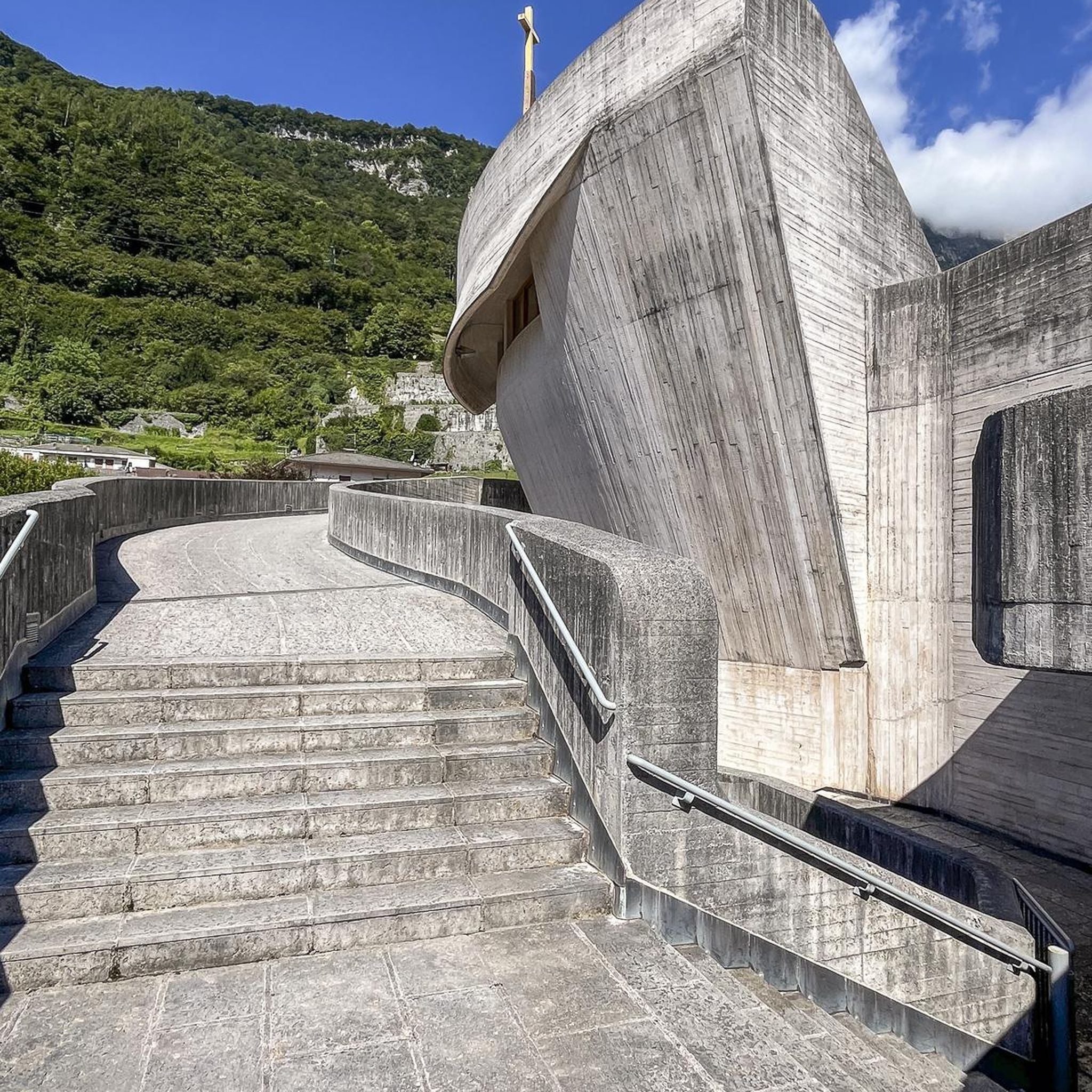
The chapel Notre-Dame du Grunenwald probably dates back to the 15th century and has been an important place of pilgrimage for centuries. According to legend, children found a statue of Mary in the forest, whereupon a first chapel was built at this spot. In the 16th century, it was expanded by the Order of Saint John/Knights of Malta and later rebuilt, including in 1705. During the First World War, the chapel was severely destroyed by artillery fire. The current chapel was built between 1930 and 1933. The historical statue of Mary and some stones from the previous building have been preserved to this day.
0
0
The Ferme du Largin is located in the Swiss "corner" near Bonfol, directly at Kilomètre Zéro of the Western Front section. In the First World War, it was an important observation post for the Swiss army, which monitored the opposing French and German positions from here. The area became a meeting point for three armies in 1914–1918 – France, Germany, and Switzerland. Today, the Ferme is a working farm and the starting point of the 7.5 km long Kilomètre-Zéro circular trail, where numerous traces and fortifications of the former front can still be seen.
0
0

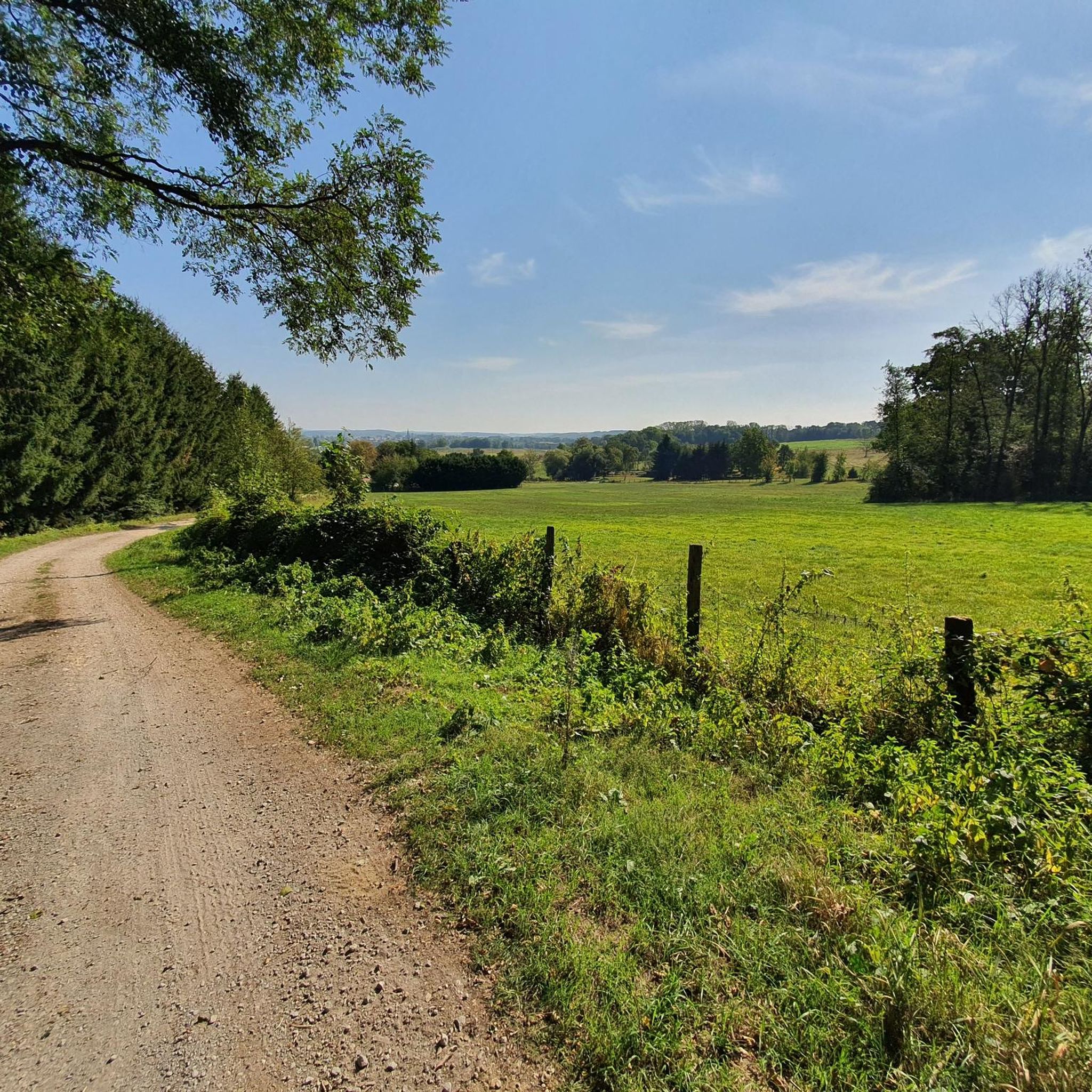
Beautiful cycle path here we are still on the EV6
0
0

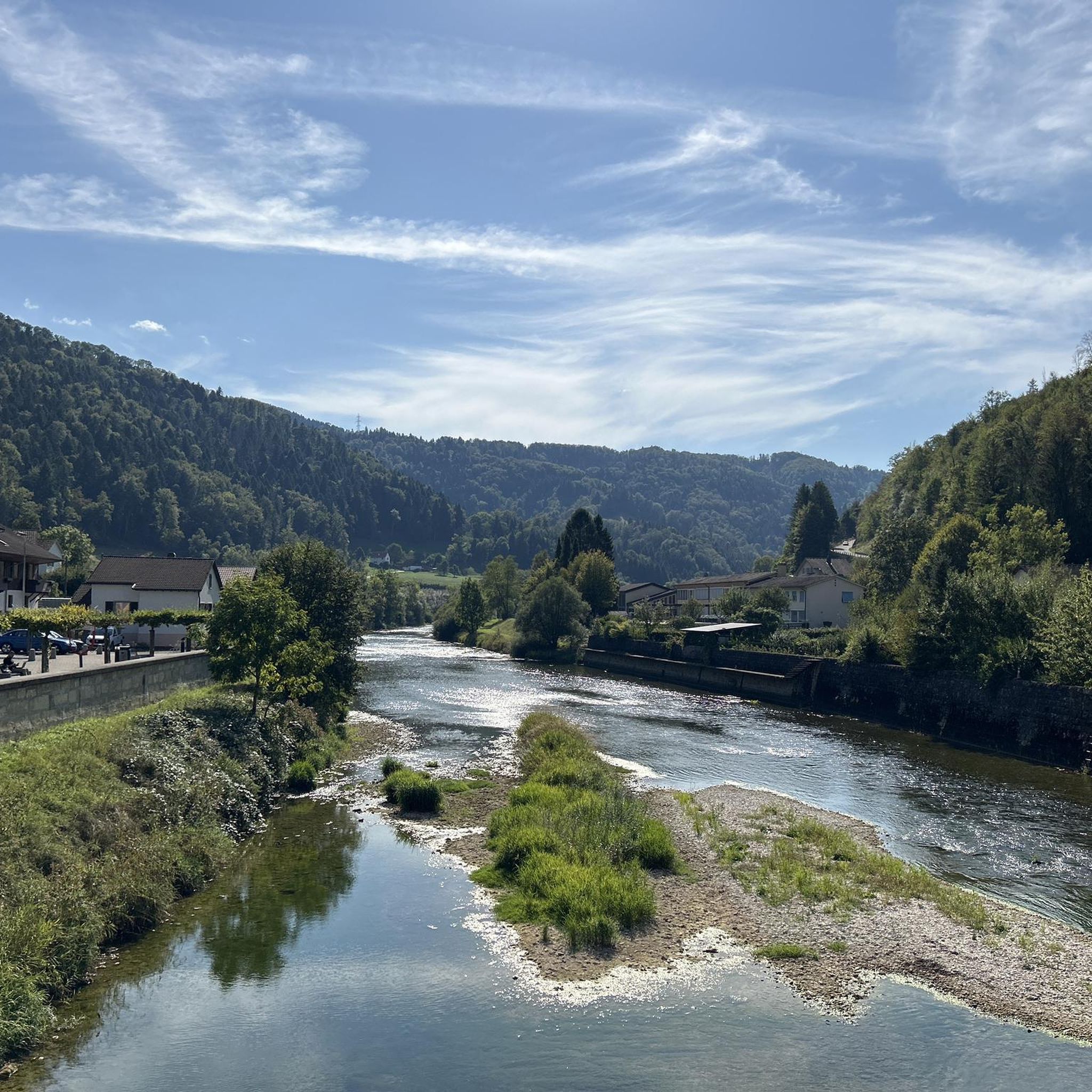
The French and European National Cycleway is a great cycleway winding along side of the Rhine Rhone Canal with very little climbing, for those who do not like to climb. However those who are climbing shy, must be aware of the wind in this area. A lot of the locks still have the former lock man’s house which adds a bit of charm to every lock. One is never alone on this route as there is a constant passing of bicycles, both leisure and racing bikes.
0
0

No idea why I didn't write anything about this...🤔😅
0
1
Interesting railway viaduct.
0
1
Restaurant in Dannemarie on EV6.
0
0
Frequently Asked Questions
What kind of terrain can I expect when touring cycling around Retzweiler?
The Retzweiler area is characterized by a hilly landscape, featuring a mix of wooded areas and agricultural land. Elevations range from approximately 260 to 280 meters above sea level, with nearby hills like the Königsberg (568 m) and Bornberg (520 m) contributing to varied terrain. This provides diverse routes, from gentler valley paths to more challenging elevated sections.
How many touring cycling routes are available in the Retzweiler region?
There are over 180 touring cycling routes available around Retzweiler, catering to various skill levels. This includes a good mix of easy, moderate, and difficult paths to explore.
Are there any easy touring cycling routes suitable for beginners or families?
Yes, there are several easy routes. One option is The Sundgau ponds – Largue Valley Cycle Path loop from Dannemarie, which is 19.4 km long and offers a relatively flat experience through scenic areas.
What are some notable natural features or landmarks I can see along the cycling routes?
The region offers several points of interest. You can explore the Port of Dannemarie, or cycle along the Canal du Rhône au Rhin. The Largue Valley Cycle Path is also a prominent feature. Additionally, the area is rich with lakes such as Étang La Belle Île and Füllhorn Pond.
Are there any circular touring cycling routes in Retzweiler?
Many routes in the area are designed as loops. For example, the Eglingen Lock – Blue drawbridge Zillisheim loop from Dannemarie is a popular circular route that covers 49.6 km, featuring canal-side paths and historical bridge crossings.
What do other touring cyclists enjoy most about cycling in Retzweiler?
The area is highly rated by the komoot community, with an average score of 4.6 stars from over 260 reviews. Cyclists often praise the varied terrain, which includes rolling hills, dense woodlands, and agricultural vistas, offering options for different ability levels and scenic diversity.
Are there any routes that pass by historical sites or unique settlements?
While the guide data focuses on natural features, the broader region around Retzweiler (Eßweiler) is known for historical sites. You might find routes that pass near the ruins of Neu-Wolfstein Castle or the unique workers' settlement known as The Kolonie, built from local basalt stones on the Bornberg.
What is a good moderate touring cycling route for exploring water features?
A great moderate option is the Port of Dannemarie – The ponds of the Sundgau loop from Gommersdorf. This 65 km path explores various water features and open landscapes around the Sundgau ponds.
Can I find routes that connect to larger cycle paths like the EuroVelo network?
Yes, some routes in the area connect to larger networks. For instance, the EuroVelo 6 in Dannemarie – Eglingen Lock loop from Dannemarie is a moderate 26.7 km route that incorporates a section of the EuroVelo 6.
What is the best time of year to go touring cycling in Retzweiler?
Given the region's hilly and wooded landscape, spring and autumn generally offer the most pleasant conditions for touring cycling, with milder temperatures and beautiful scenery. Summer can also be enjoyable, though some routes might be more exposed to the sun. Winters can be challenging due to colder weather and potential snow or ice on higher elevations.
Are there any touring cycling routes that offer cultural landmarks?
Yes, for those interested in cultural landmarks, the Saint Christopher Cathedral – Lion of Belfort loop from Dannemarie is a 67.3 km trail that leads through areas with significant cultural points of interest.
Are there options for parking near the touring cycling routes in Retzweiler?
While specific parking locations are not detailed in the route descriptions, many touring cycling routes in regions like Retzweiler often start or pass through towns and villages where public parking facilities are available. It's advisable to check local information for specific starting points like Dannemarie or Gommersdorf.
Most popular routes around Retzweiler
Most popular attractions around Retzweiler

Get inspired with the komoot mobile app


Explore more
Browse the best Cycling routes in other regions.
