The best running trails around Saint-Quentin-La-Motte-Croix-Au-Bailly
4.3
(93)
3,707
runners
259
runs
Jogging around Saint-Quentin-La-Motte-Croix-Au-Bailly offers access to diverse landscapes within the Baie de Somme Picardie Maritime Regional Nature Park. The area features coastal trails along chalk cliffs, providing panoramic views of the Opal Coast. Runners can find varied terrain, from more challenging, steeper paths to accessible routes, catering to different fitness levels. The region's natural features include the expansive Baie de Somme and the Cise Cliff.
Best jogging routes around Saint-Quentin-La-Motte-Croix-Au-Bailly
- The most popular jogging route is Eastern end of Falaises…
Last updated: May 18, 2026
5.0
(1)
104
runners
14.6km
01:51
220m
220m
Hard run. Good fitness required. Sure-footedness, sturdy shoes and alpine experience required.
4.0
(1)
54
runners
Hard run. Good fitness required. Sure-footedness, sturdy shoes and alpine experience required.

Sign up for free
13
runners
Moderate run. Good fitness required. Mostly paved surfaces. Suitable for all skill levels.
10
runners
8.88km
00:57
90m
90m
Moderate run. Good fitness required. Mostly paved surfaces. Suitable for all skill levels.
10
runners
7.79km
00:50
100m
100m
Moderate run. Good fitness required. Mostly paved surfaces. Suitable for all skill levels.
Get access to more routes and recommendations from other explorers.
Sign up for free
Already have an account?
Our route recommendations are based on thousands of hikes, rides, and runs completed by other people on komoot.
Start today with a free account
Your next adventure awaits.
Login or Signup
Popular around Saint-Quentin-La-Motte-Croix-Au-Bailly

Tips from the Community

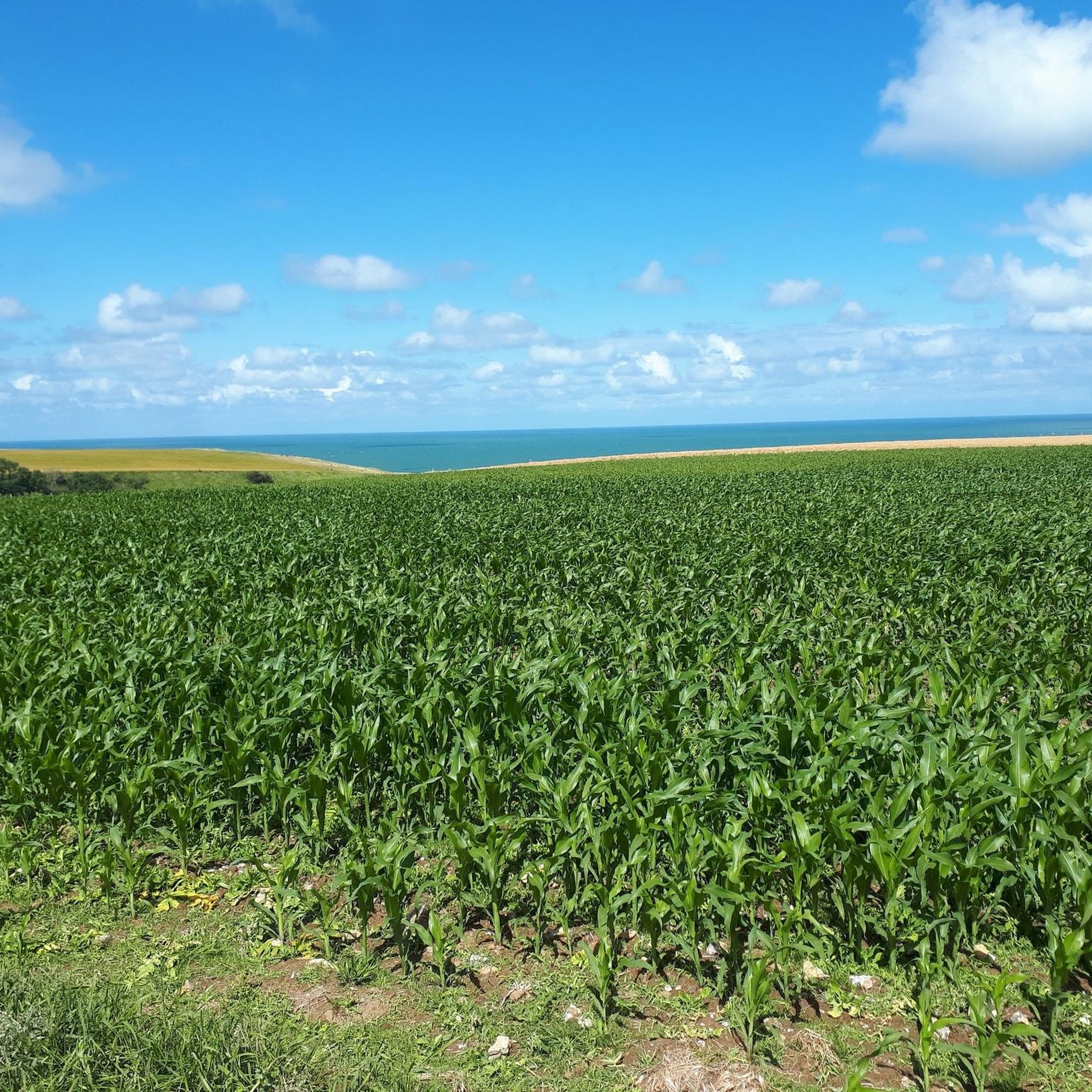
Those who like gravel riding will love this place.
0
0


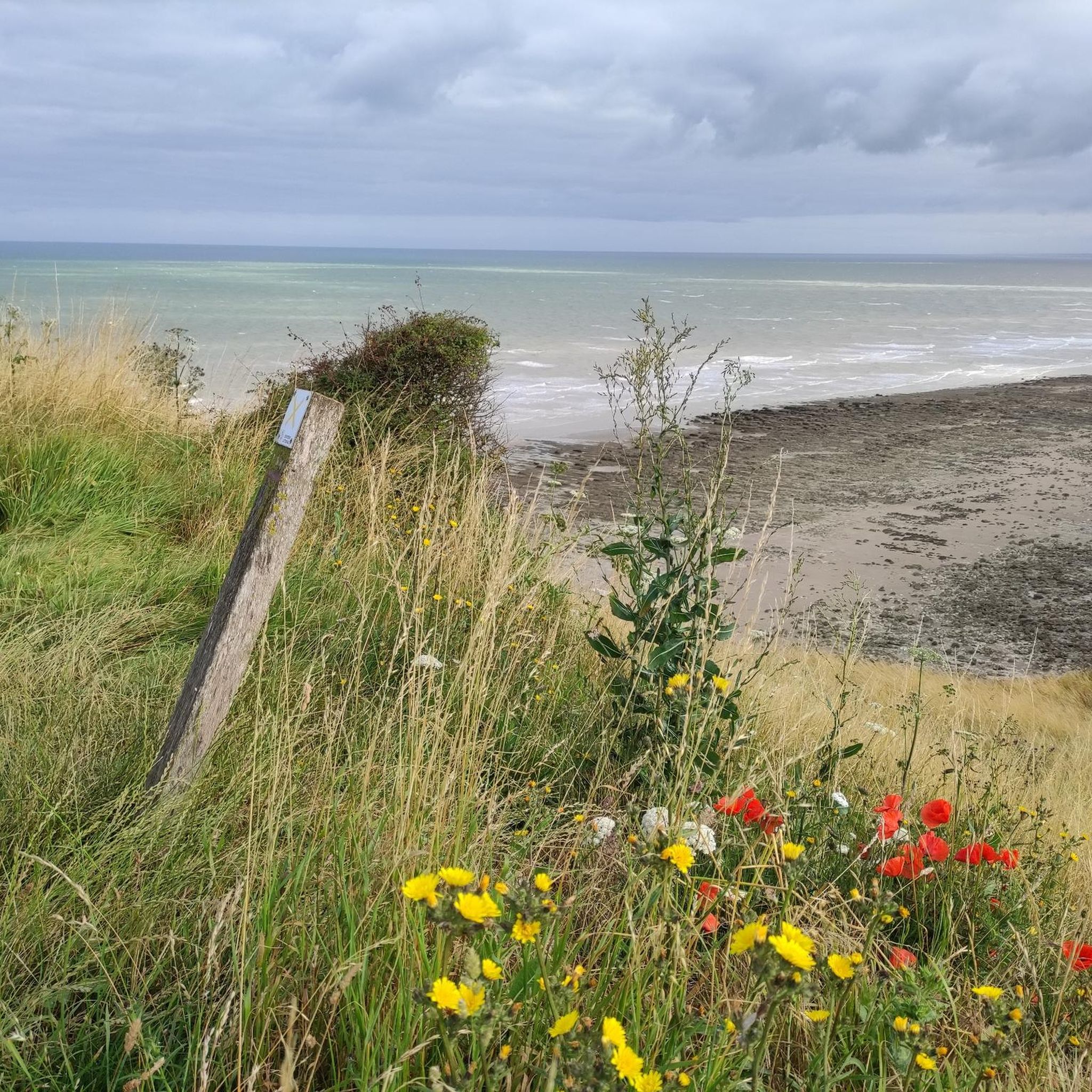
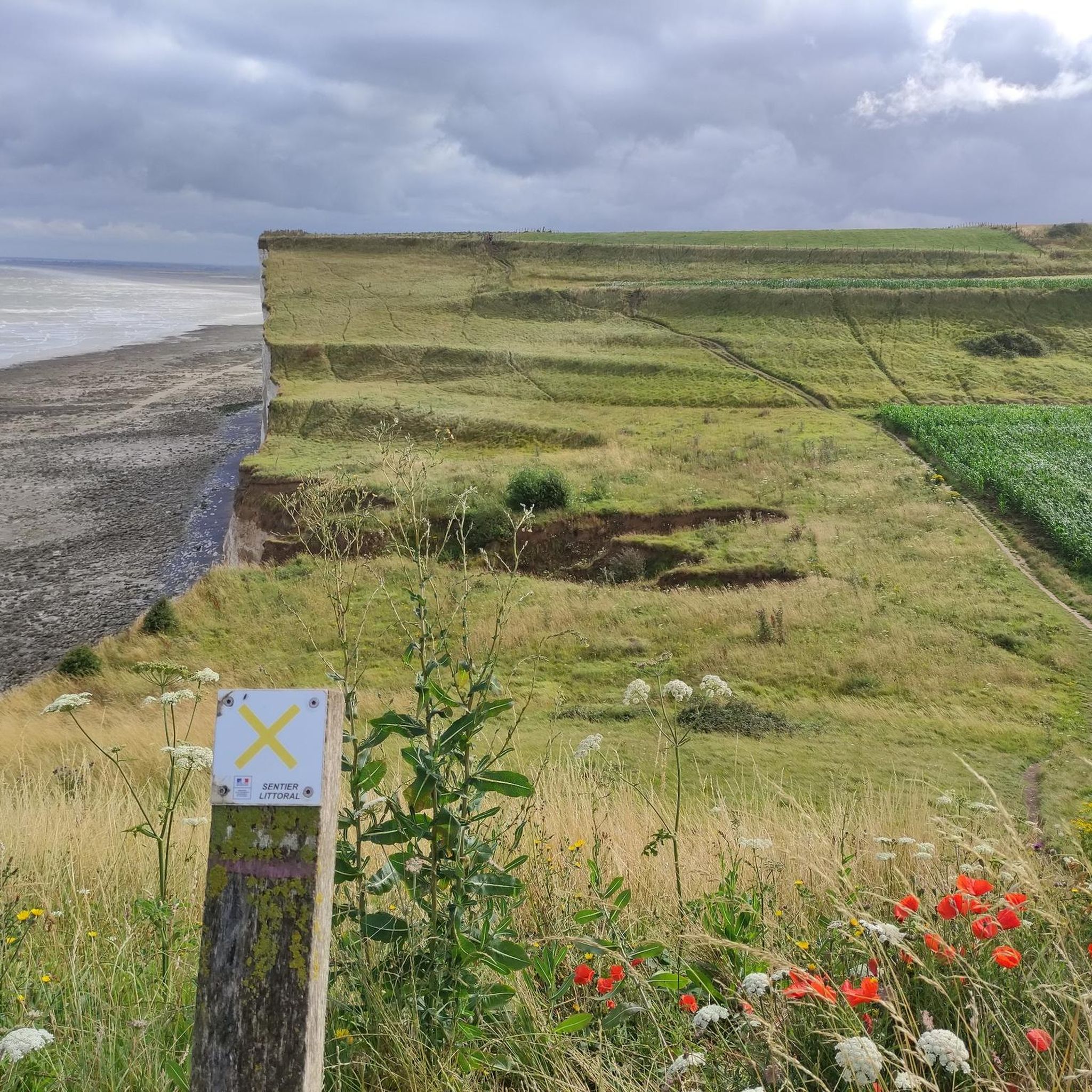
The cliffs are made of chalk and are impressive to look at.
3
0
Here in Ault begin the chalk cliffs, which stretch all the way to Normandy and repeatedly appear as enormous cliffs.
4
0


The cliffs around the beach of Ault are composed of chalk from the Upper Cretaceous, more precisely from the Turonian and Coniacian (around 83 million years ago to 90 million years ago). They are strewn with flint nodules which highlight the subhorizontal stratification planes (the formation of flint has already been discussed in Discovery of the geology of the cliffs of Étretat, presentation of an excursion from the beach of Tilleul (Antifer) to the Porte d'Amont (Étretat Nord)). The relative proportion of chalk and flint is around 90-95% chalk to 5-10% flint. Flint horizons are stratigraphic markers. On the cliffs of Ault, the regular flint band called Seven Sisters is recognizable and characterizes the boundary between the Middle Coniacian and the Upper Coniacian (around 87 million years ago). The boundary between the lower and middle Coniacian is marked by the Shoreham 2 marl level, which is more difficult to identify. These lithostratigraphic markings allow in particular the correlation of distant deposits, such as between the Normandy and Picardy coasts, or between the French and English coasts.
3
0
A green setting in the heart of the cliffs, classified as a picturesque area since 1959. The Bois de Cise is an exceptional natural area, a small natural forest, originally wild and abandoned, which became a famous seaside resort during the Belle Époque under the leadership of a visionary who stopped at nothing. This coastal forest was originally a wild forest and a hunting ground in the Middle Ages. At the end of the 19th century, the Bois de Cise was sold off in lots on the initiative of a property developer and became a famous seaside resort of the Belle Époque. Today, it is a charming holiday and walking area that is best explored on foot via the narrow paths and wooden steps that crisscross the area. Very beautiful villas bear witness to the prosperous years before the First World War. Don't forget to go to the panorama, like Victor Hugo in his time, a fantastic viewpoint from which you can see the mouth of the Bay of Somme.
0
0
Frequently Asked Questions
How many running routes are available around Saint-Quentin-La-Motte-Croix-Au-Bailly?
There are over 260 running routes in and around Saint-Quentin-La-Motte-Croix-Au-Bailly, offering a wide variety of options for all fitness levels. These paths explore the diverse landscapes of the Baie de Somme Picardie Maritime Regional Nature Park.
What kind of terrain can I expect on the running trails in this region?
You can expect a diverse range of terrain, from coastal trails along dramatic chalk cliffs offering panoramic views of the Opal Coast, to more sheltered paths through green spaces. The area features both challenging, steeper routes and more accessible, gentler paths, ensuring options for various preferences and fitness levels.
Are there running routes suitable for different fitness levels?
Yes, the area caters to all abilities. You'll find 21 easy running routes for a relaxed jog, 164 moderate trails for a good workout, and 76 difficult paths for those seeking a more intense challenge. This variety ensures everyone can find a suitable running experience.
What do other runners enjoy about the trails in Saint-Quentin-La-Motte-Croix-Au-Bailly?
The running routes in this area are highly rated by the komoot community, with an average score of 4.4 stars from over 90 reviews. Runners often praise the stunning coastal panoramas, the unique chalk cliffs, and the varied terrain that keeps each run interesting.
Are there any circular running routes available?
Yes, many of the running routes are circular, allowing you to start and finish at the same point. For example, the Eastern end of Falaises d'Albâtre, Ault coastal panorama – Ault Chalk Cliffs loop from Saint-Quentin-la-Motte-Croix-au-Bailly is a popular 9.9 km loop offering coastal views.
What natural features or landmarks can I see while running?
The region is rich in natural beauty. You can encounter impressive geological formations like the Ault Chalk Cliffs and La Cise Cliff. Many routes also offer views of the expansive Baie de Somme, a Grand Site de France, where you might even spot seals. The Mers-les-Bains Cliffs – Bois de Cise loop from Mers-les-Bains takes you through the scenic Bois de Cise.
Are there dog-friendly running trails in the area?
Many trails in the Baie de Somme Picardie Maritime Regional Nature Park are suitable for running with dogs, though leash rules may apply, especially in protected areas or near wildlife. It's always best to check local signage or specific route details on komoot for the most current regulations.
What is the best time of year to go running in Saint-Quentin-La-Motte-Croix-Au-Bailly?
The region is enjoyable for running throughout much of the year. Spring and autumn offer pleasant temperatures and beautiful scenery, with fewer crowds. Summer is also popular, especially along the coast, but can be warmer. Winter runs can be invigorating, though some coastal paths might be exposed to strong winds.
Are there any longer distance running trails for endurance training?
Yes, there are several longer routes. For instance, the Ault Chalk Cliffs – Belvedere loop from Saint-Quentin-la-Motte-Croix-au-Bailly is an 11.4 km (7.1 miles) trail that offers a good distance for endurance. You can also combine sections of the extensive 'Sentier du littoral Baie de Somme' for even longer runs.
Are there family-friendly jogging routes?
Yes, the area offers several accessible paths suitable for families. While specific 'family-friendly' routes are not explicitly categorized, many of the easier and moderate trails with less elevation gain, particularly those away from steep cliffs, can be enjoyed by families. Look for routes with smooth surfaces and shorter distances.
Where can I find parking or public transport access for the running trails?
Many trailheads, especially near towns like Ault, Mers-les-Bains, and Le Tréport, offer parking facilities. For public transport, regional bus services connect these towns, and some routes might be accessible from bus stops. It's advisable to check specific route starting points on komoot for detailed access information.
Are there any routes that offer views of the Baie de Somme?
Absolutely. The region's proximity to the Baie de Somme means many routes provide stunning vistas of this expansive natural area. While not a direct running route, the 'Circuit vélo – Mouette' offers exceptional views of the bay, and elements of coastal routes often double as scenic jogging paths with bay views.
Most popular routes around Saint-Quentin-La-Motte-Croix-Au-Bailly
Most popular attractions around Saint-Quentin-La-Motte-Croix-Au-Bailly

Get inspired with the komoot mobile app


Explore more
Browse the best Running Trails & Routes in other regions.
