The best road cycling routes around Nantes-En-Rattier
4.3
(143)
3,078
riders
59
rides
Road cycling routes around Nantes-En-Rattier, located in the Isère department of southeastern France, offer diverse and challenging landscapes. The commune, nestled in the Auvergne-Rhône-Alpes region, features mountainous terrain with significant elevation changes, ranging in altitude from 587m to 1975m. Cyclists encounter a mix of paved and unpaved surfaces, providing varied riding conditions across its dramatic natural features, including prominent massifs and serene lakes.
Best road cycling routes in Nantes-En-Rattier
- The most popular road cycling route is Parquetout Pass – Parquetout…
Last updated: May 20, 2026
4.7
(3)
273
riders
95.3km
05:07
1,840m
1,840m
Hard road ride. Very good fitness required. Mostly well-paved surfaces and easy to ride.
4.7
(6)
112
riders
34.3km
01:43
400m
400m
Moderate road ride. Good fitness required. Some segments of this route may be unpaved and difficult to ride.

Sign up for free
4.4
(8)
83
riders
81.9km
04:42
1,870m
1,870m
Hard road ride. Very good fitness required. Mostly well-paved surfaces and easy to ride.
4.1
(9)
152
riders
37.4km
01:52
440m
440m
Moderate road ride. Good fitness required. Mostly well-paved surfaces and easy to ride.
5.0
(2)
57
riders
117km
06:28
2,500m
2,500m
Hard road ride. Very good fitness required. Mostly well-paved surfaces and easy to ride.
Get access to more routes and recommendations from other explorers.
Sign up for free
Already have an account?
Our route recommendations are based on thousands of hikes, rides, and runs completed by other people on komoot.
Start today with a free account
Your next adventure awaits.
Login or Signup

Tips from the Community

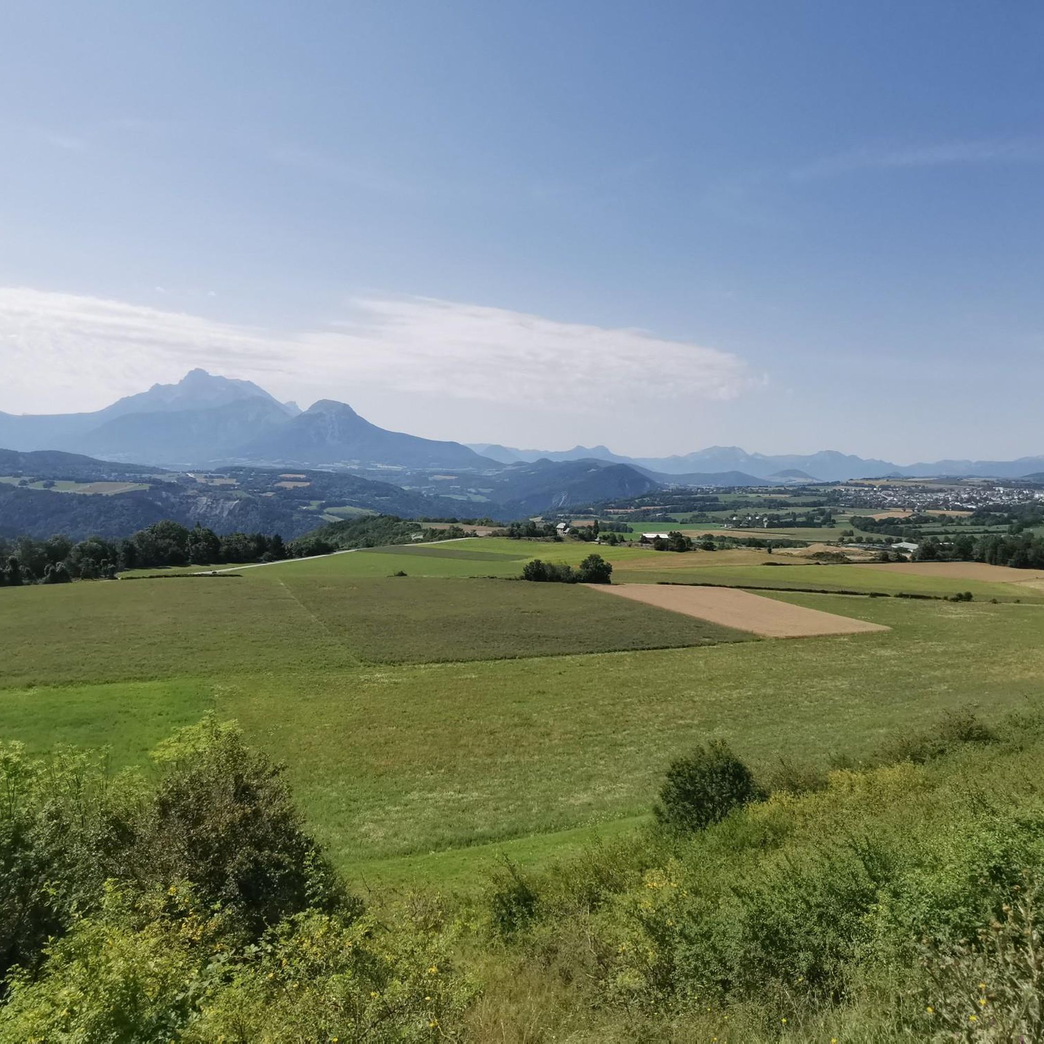
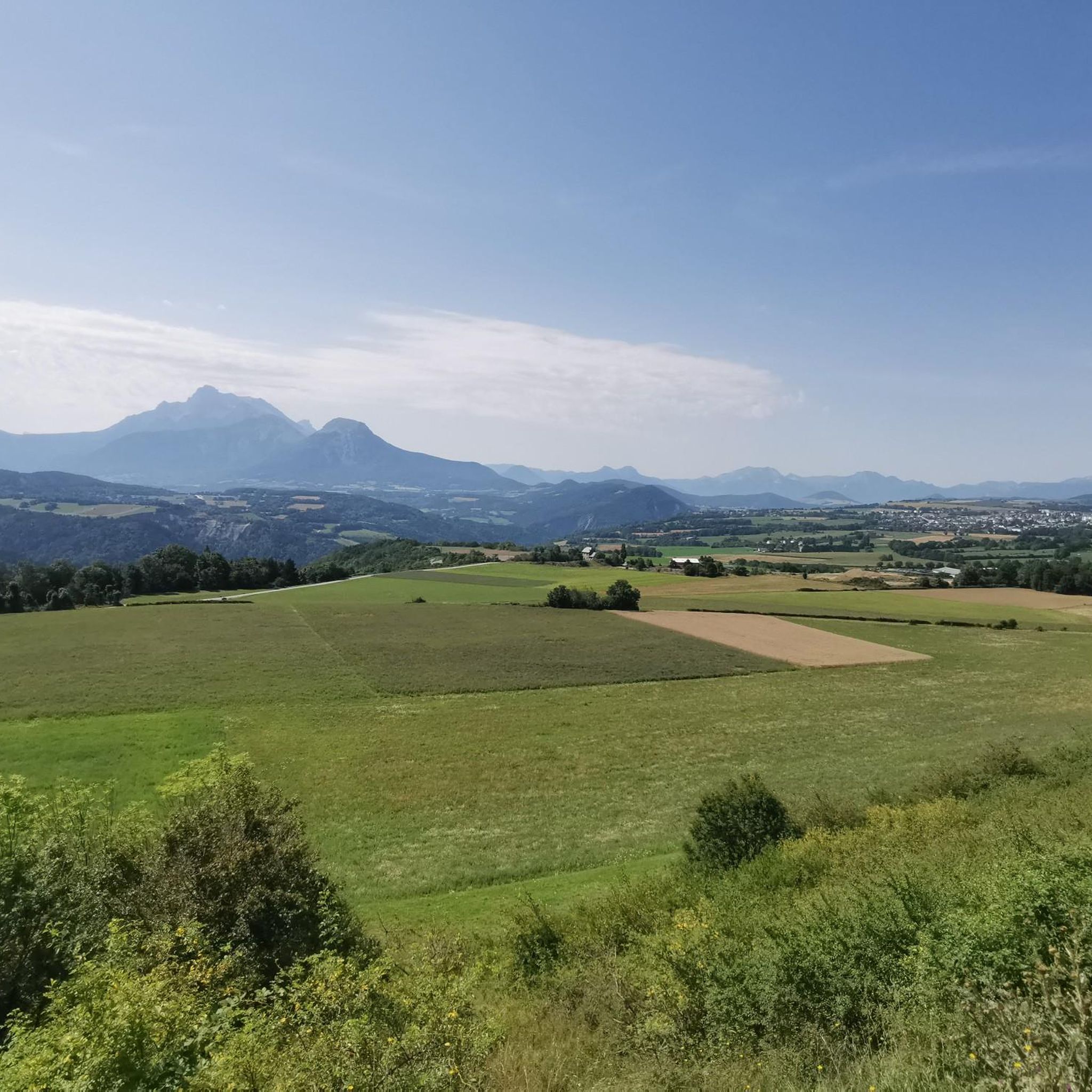
It's an ideal starting point for the hike. There is a shelter to have a snack, and it's a few minutes from the Sainte-Luce farm. In spring it's a known spot for flowers and particularly daffodils.
0
0

Very pleasant to ride, as it is rarely steeper than 6-7%
0
0
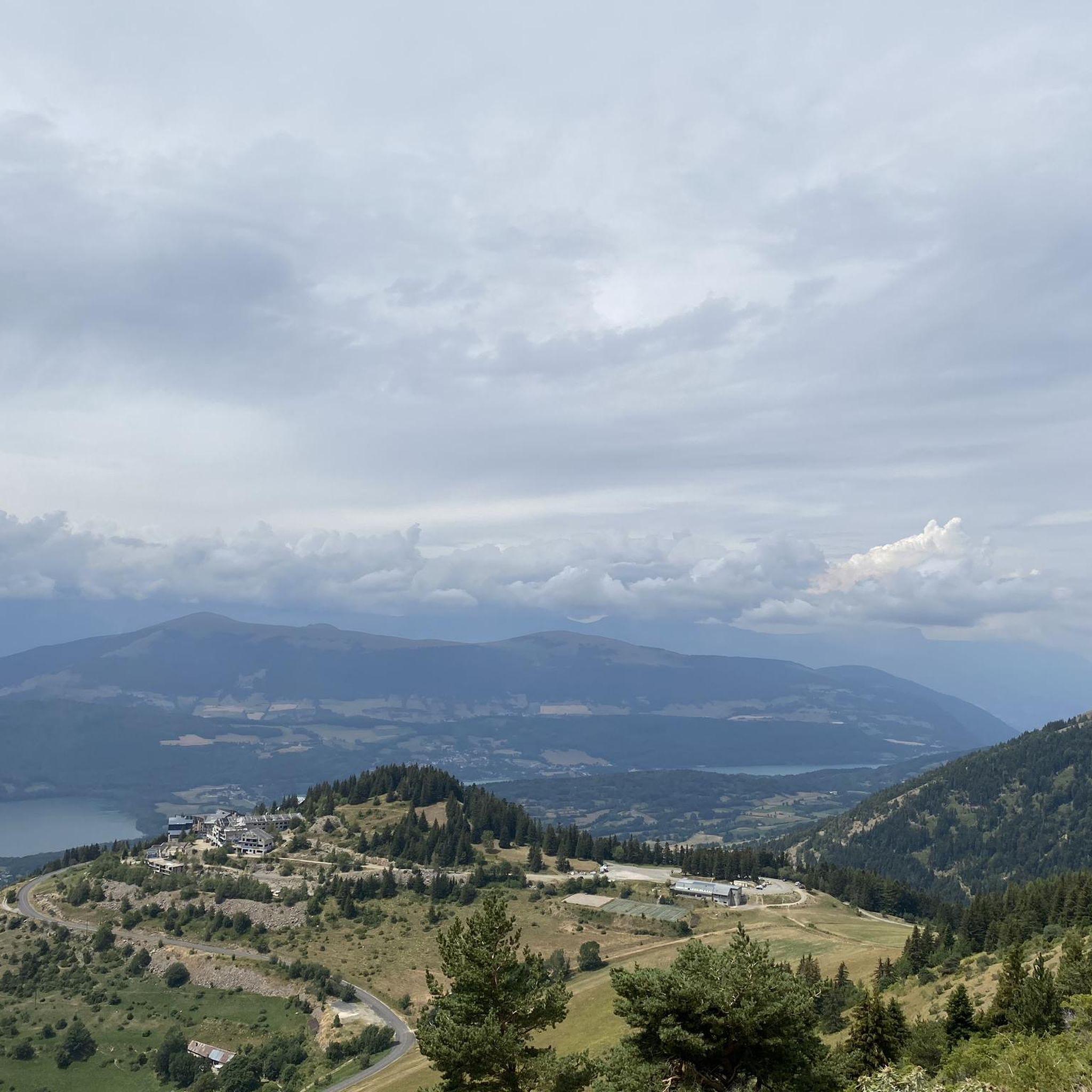
The little road that goes down from Cholonge is great and on arrival you have a superb view of Lake Lafrey
0
0


A not difficult climb with spectacular views.
14
0

The climb to the Col du Noyer from its slope is the most challenging, with over six kilometers at an average gradient of 8.6%. The gradient is fairly steady and the setting is magnificent.
4
0
The Col d'Ornon isn't the most famous, but it's a pleasant climb. Category two, it's ten kilometers long and averages 6.2%. Watch out for steep gradients in the middle of the climb!
0
0

Frequently Asked Questions
What is the general difficulty level of road cycling routes around Nantes-En-Rattier?
The region around Nantes-En-Rattier is known for its diverse and challenging landscapes, offering routes with significant elevation changes. You'll find a mix of moderate and difficult routes, with 29 routes classified as difficult and 28 as moderate. There are also a few easier options for those seeking a less strenuous ride.
Are there any easy road cycling routes suitable for beginners in Nantes-En-Rattier?
While many routes in Nantes-En-Rattier are challenging, there are 4 routes classified as easy, providing options for beginners or those looking for a more relaxed ride. These routes typically feature less elevation gain and shorter distances, allowing you to enjoy the scenery without excessive effort.
What are some challenging road cycling routes for experienced riders?
Experienced riders will find plenty of demanding routes. For instance, the Parquetout Pass – Parquetout Pass loop from La Mure is a difficult 49.6 km route with over 1,250 meters of elevation gain. Another challenging option is the Sautet dam – Parquetout Pass loop from La Mure, spanning 81.9 km with over 1,870 meters of ascent. For an even longer and more strenuous ride, consider the Col de l'Arzelier – Col de l'Allimas loop from La Mure, which covers over 100 km and includes more than 2,500 meters of climbing.
What natural features and views can I expect to see while cycling in the region?
Road cycling routes in Nantes-En-Rattier offer breathtaking scenery. You'll encounter panoramic views of prominent massifs like Ecrins, Vercors, and Chartreuse. The area is also dotted with beautiful lakes such as Lac de Monteynard, Lac de Laffrey, and Lac de Rif Bruyant, providing picturesque backdrops. Many routes also feature views of impressive peaks like Piquet de Nantes and Mont Aiguille.
Are there any historical or cultural attractions accessible from the cycling routes?
Yes, several routes pass by interesting points. You can explore the historical Drac Footbridge, or discover the unique natural monument of La Pierre Percée. Some routes also lead through traditional hamlets like Fontagneux and Serbouvet, offering a glimpse into local heritage. The ruins of Rattier Castle are also nearby, hinting at the area's strategic past.
Is parking available near the starting points of road cycling routes?
While specific parking details for every route are not provided, many routes in the region, particularly those starting from towns like La Mure, offer convenient access and parking options. It's advisable to check the individual route descriptions on komoot for detailed information on starting points and potential parking facilities.
What is the best time of year for road cycling around Nantes-En-Rattier?
The region's mountainous terrain suggests that spring, summer, and early autumn are generally the best times for road cycling. During these seasons, the weather is typically more favorable, and mountain passes are clear of snow. Winter conditions can be challenging due to altitude and potential snow, especially at higher elevations like Col de La Morte.
Are there family-friendly road cycling options in Nantes-En-Rattier?
While many routes are geared towards experienced cyclists due to significant elevation, the region does offer some easier routes that could be suitable for families with older children or those looking for a less intense experience. Look for the 4 routes classified as 'easy' on komoot, which will have less climbing and shorter distances.
Are there many circular road cycling routes available?
Yes, the area around Nantes-En-Rattier features numerous circular road cycling routes, allowing you to start and end your ride in the same location. Examples include the Lake Laffrey loop from La Mure and the Parquetout Pass – Parquetout Pass loop from La Mure, providing convenient options for exploration.
What do other road cyclists appreciate most about the routes in Nantes-En-Rattier?
The road cycling routes in Nantes-En-Rattier are highly rated by the komoot community, with an average score of 4.4 stars from over 150 reviews. Cyclists frequently praise the dramatic natural features, including the stunning views of massifs like Ecrins and Vercors, the serene lakes, and the rewarding challenge of the mountainous terrain.
How many road cycling routes are available around Nantes-En-Rattier?
There are over 60 road cycling routes available around Nantes-En-Rattier on komoot, offering a wide variety of distances and difficulty levels to suit different preferences and fitness levels.
What are some notable mountain passes or climbs in the area?
The region is home to several significant climbs and passes that are popular with road cyclists. Notable mentions include Col de La Morte (1370 m), which is part of the 'Plan d'Eau de La Morte – Col de La Morte' loop, and Parquetout Pass, featured in several challenging routes like the Parquetout Pass – Parquetout Pass loop from La Mure. These passes offer substantial elevation gains and rewarding views.
Can I find routes that offer views of Lake Monteynard?
Yes, the region offers routes that provide impressive views of Lake Monteynard. The 'Les Corniches du Drac and The Drac Corniche – Lake Monteynard loop' is specifically highlighted for its challenging nature and the stunning vistas of the lake. You can also find the highlight The Trièves and Lake Monteynard lined up for a specific viewpoint.
Most popular routes around Nantes-En-Rattier
Most popular attractions around Nantes-En-Rattier

Get inspired with the komoot mobile app


Explore more
Browse the best Road cycling routes in other regions.
