The best walks and hikes around Luz-Saint-Sauveur
4.1
(439)
3,938
hikers
54
hikes
Hiking around Luz-Saint-Sauveur offers access to diverse landscapes within the French Pyrénées. The region is characterized by dramatic glacial cirques, towering peaks, and high-altitude lakes, serving as a gateway to the Pyrenees National Park. Hikers can explore dense pine forests, follow riverbeds with waterfalls, and ascend to mountain summits. This area provides a variety of trails suitable for different experience levels, from easy walks to challenging climbs.
Best hiking trails around Luz-Saint-Sauveur
- The most popular hiking route is Small loop of Luz-Saint-Sauveur, an easy 2.2 miles (3.5 km) trail that takes 1 hour 12 minutes to complete. This route offers a gentle introduction to the local surroundings.
- Another top favourite among local hikers is Napoleon Bridge – Creek Trail loop from Luz-Saint-Sauveur, a moderate 7.5 miles (12.0 km) path. This trail features varied terrain along a creek, providing scenic views.
- Local hikers also love the Napoleon Bridge – Solférino Chapel loop from Luz-Saint-Sauveur, a 3.9 miles (6.3 km) trail leading through historical landmarks and natural scenery, often completed in about 1 hour 47 minutes.
- Hiking around Luz-Saint-Sauveur is defined by glacial cirques, high-altitude lakes, and dense pine forests. The network offers options for various ability levels, from leisurely walks to demanding ascents.
- The routes in Luz-Saint-Sauveur are highly rated by the komoot community with an average score of 4.1 stars from over 350 reviews. More than 3000 hikers have used komoot to explore Luz-Saint-Sauveur's varied terrain.
Last updated: August 5, 2026
4.1
(13)
48
hikers
3.48km
01:12
180m
180m
Easy hike. Great for any fitness level. Easily-accessible paths. Suitable for all skill levels.
4.4
(61)
296
hikers
12.1km
03:59
490m
490m
Moderate hike. Good fitness required. Easily-accessible paths. Suitable for all skill levels.

Sign up for free
4.7
(6)
138
hikers
9.51km
04:13
900m
900m
Moderate hike. Good fitness required. Easily-accessible paths. Suitable for all skill levels.
4.3
(12)
132
hikers
4.46km
01:18
120m
120m
Easy hike. Great for any fitness level. Easily-accessible paths. Suitable for all skill levels.
4.8
(6)
117
hikers
6.02km
02:40
570m
570m
Moderate hike. Good fitness required. Easily-accessible paths. Suitable for all skill levels.
Get access to more routes and recommendations from other explorers.
Sign up for free
Already have an account?
Our route recommendations are based on thousands of hikes, rides, and runs completed by other people on komoot.
Start today with a free account
Your next adventure awaits.
Login or Signup
Popular around Luz-Saint-Sauveur
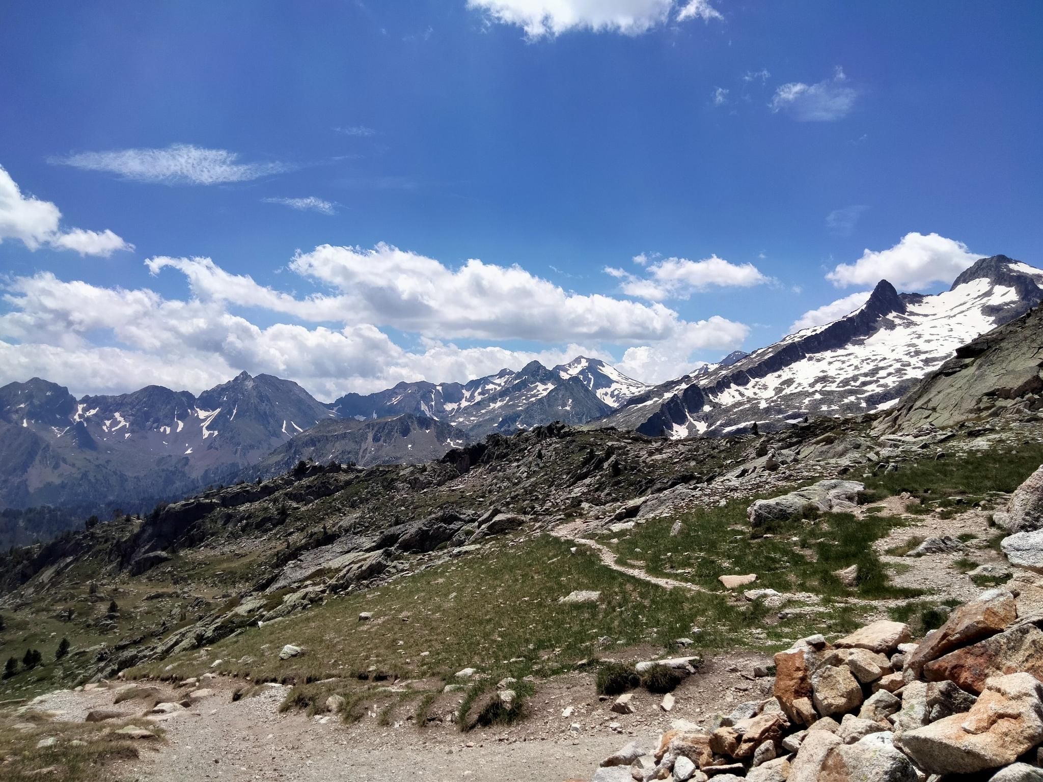
Hexatrek, the western and central Pyrenees – Between mountains and the ocean
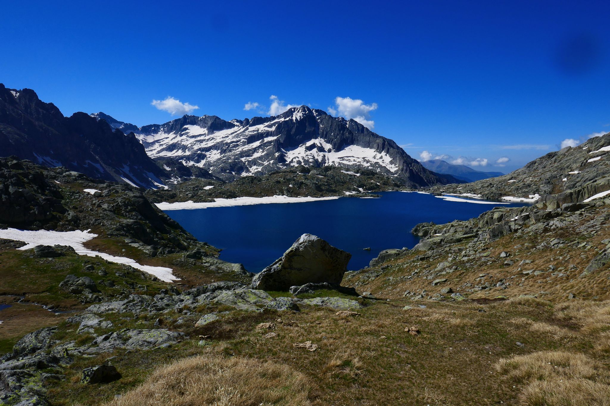
GR 10 – Central Pyrenees crossing the Pyrenees
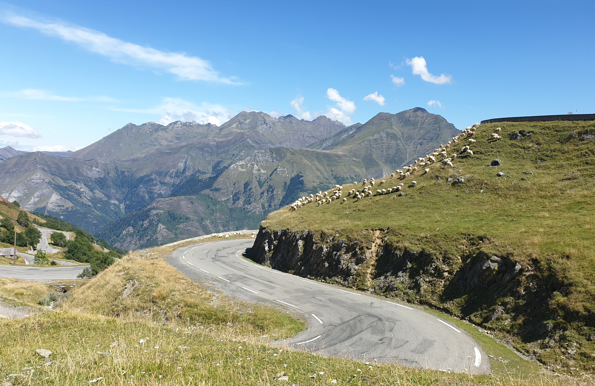
Between myths and legends – emblematic passes of the Pyrenees
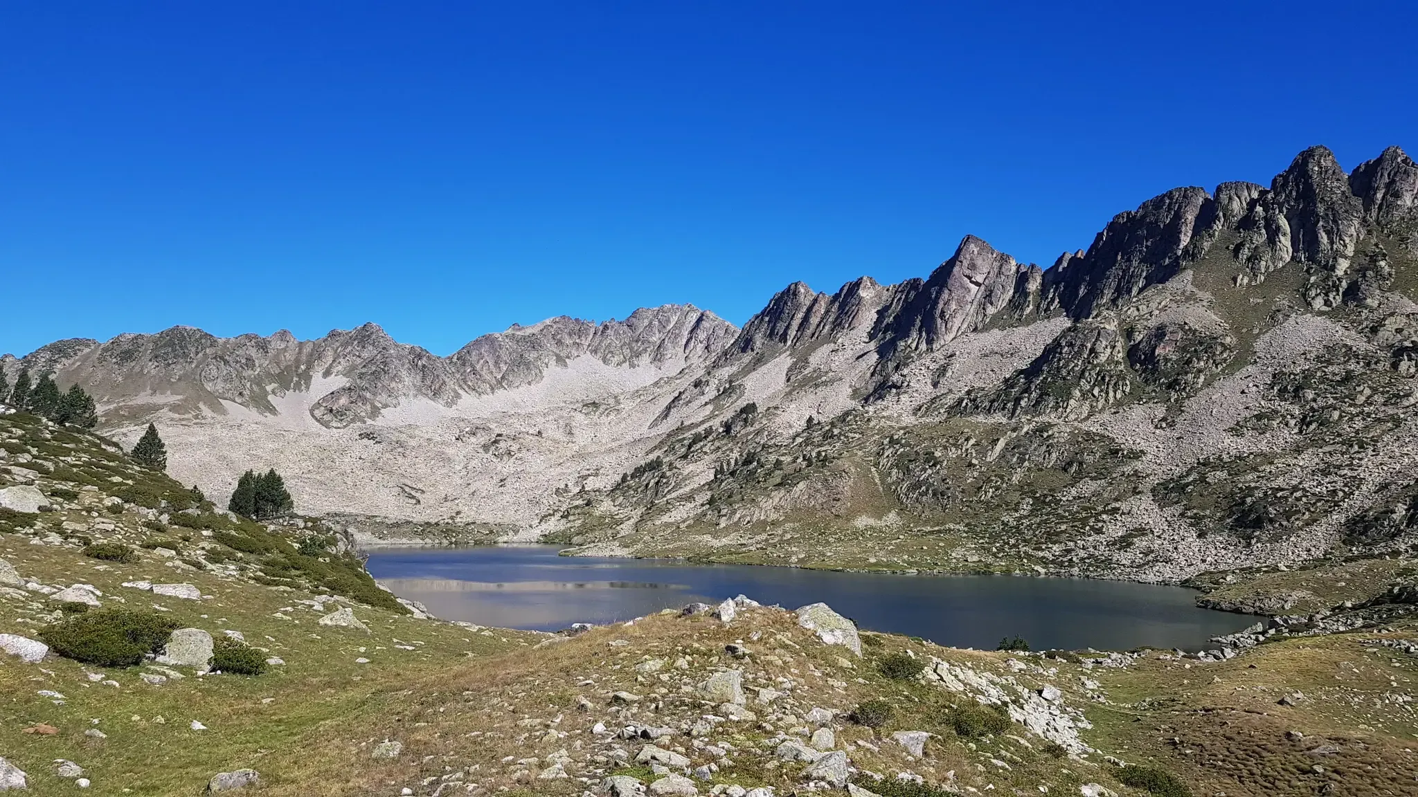
Grand Raid des Pyrénées – Ultra Tour Solo 2023 off
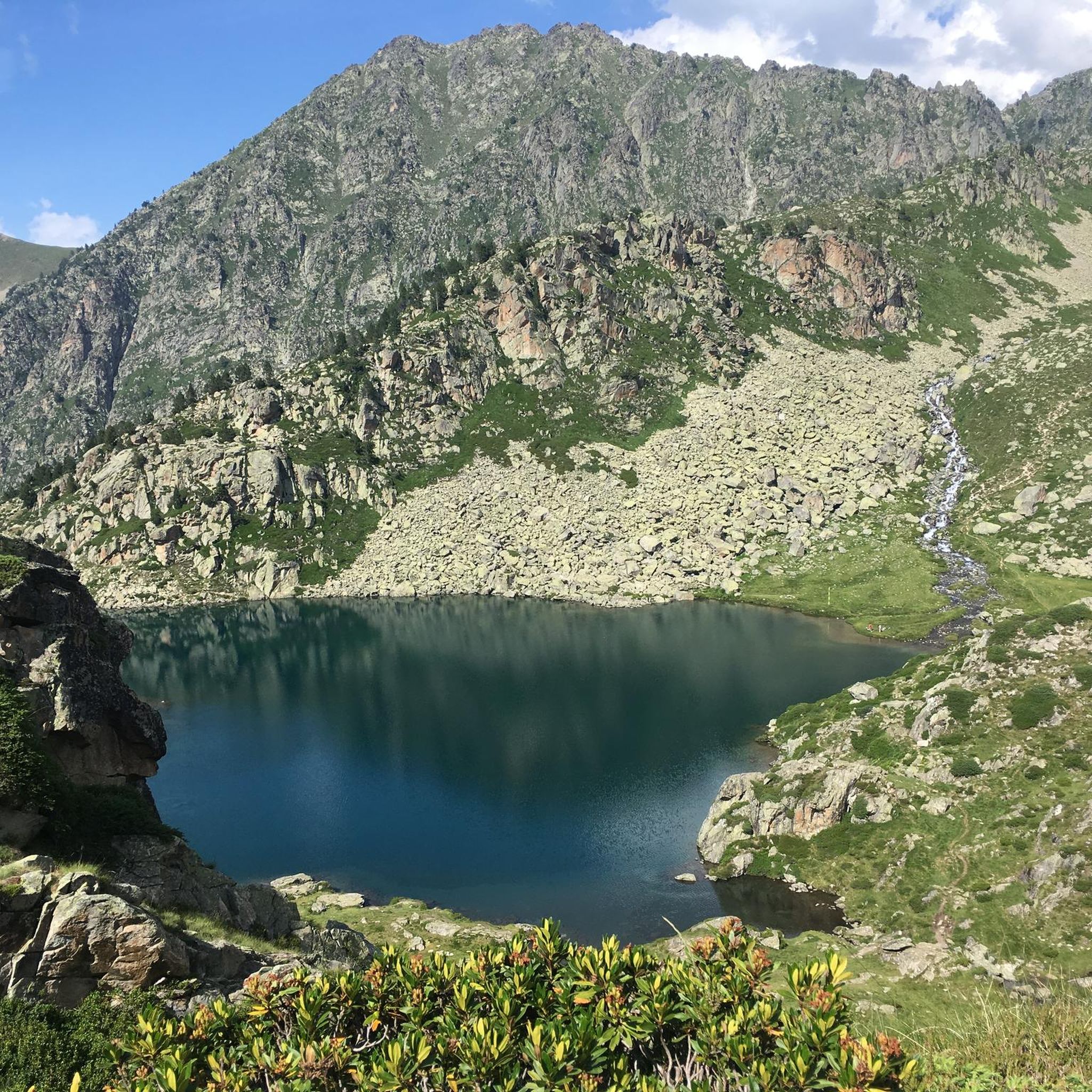
Road Cycling Routes around Luz-Saint-Sauveur
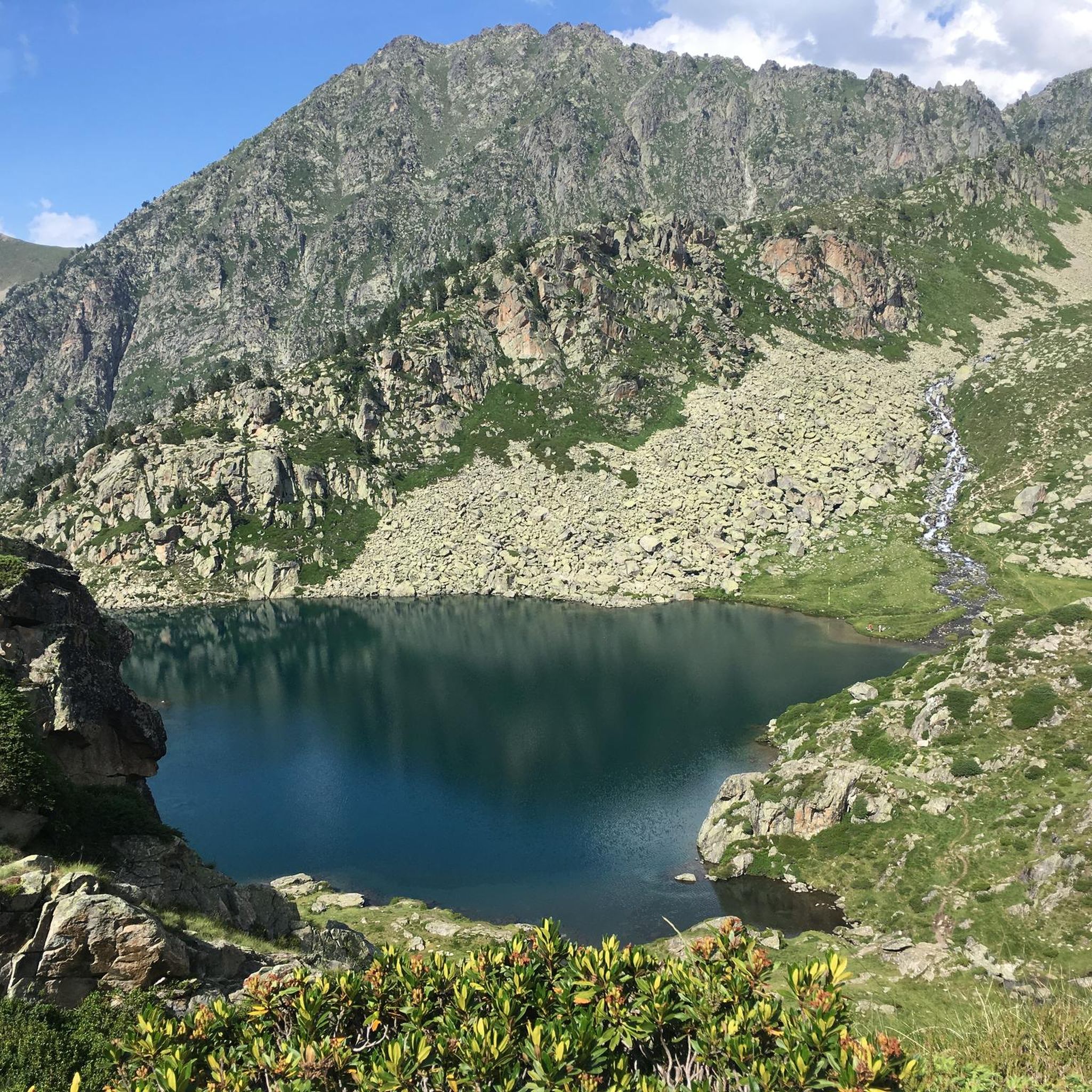
Cycling around Luz-Saint-Sauveur
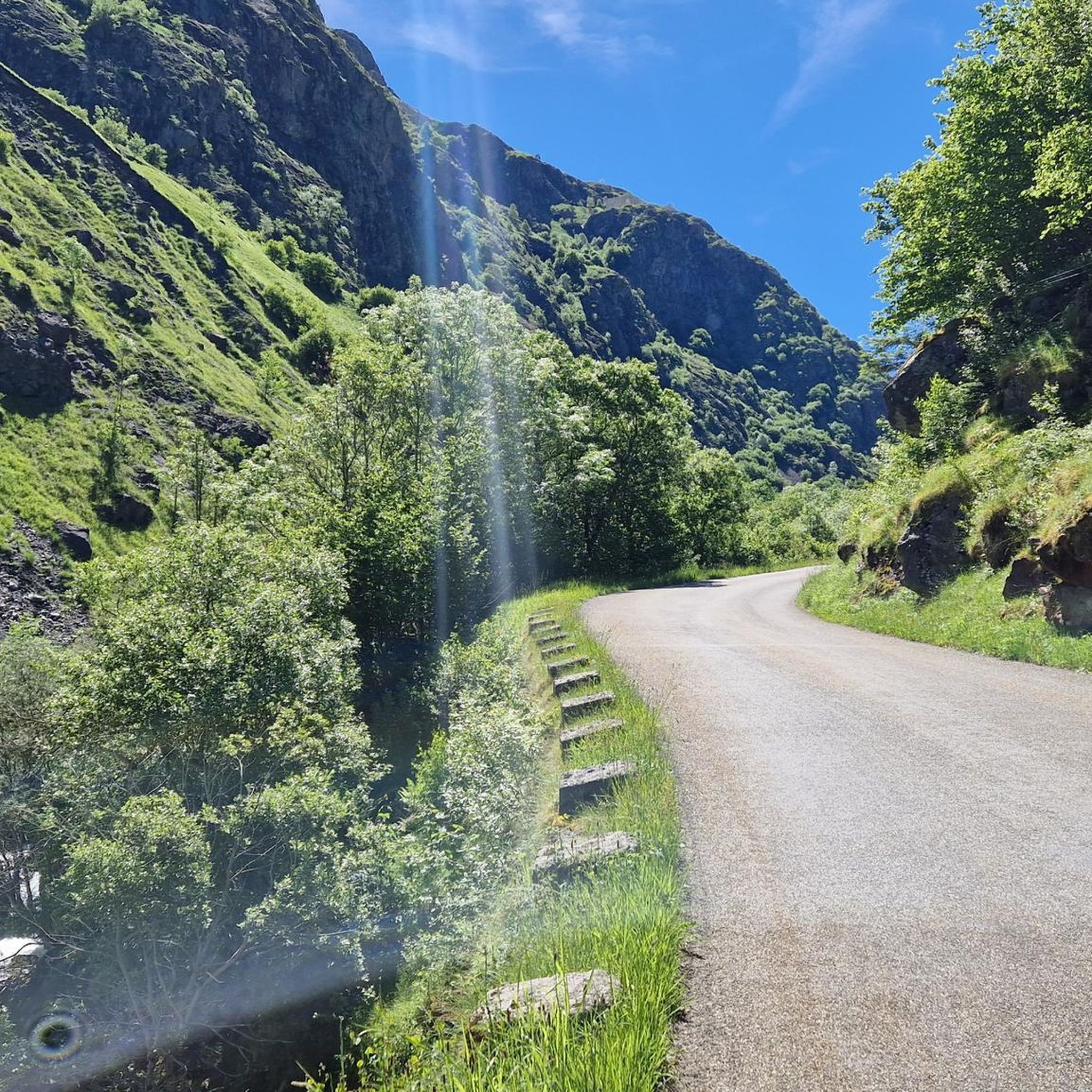
Running Trails around Luz-Saint-Sauveur
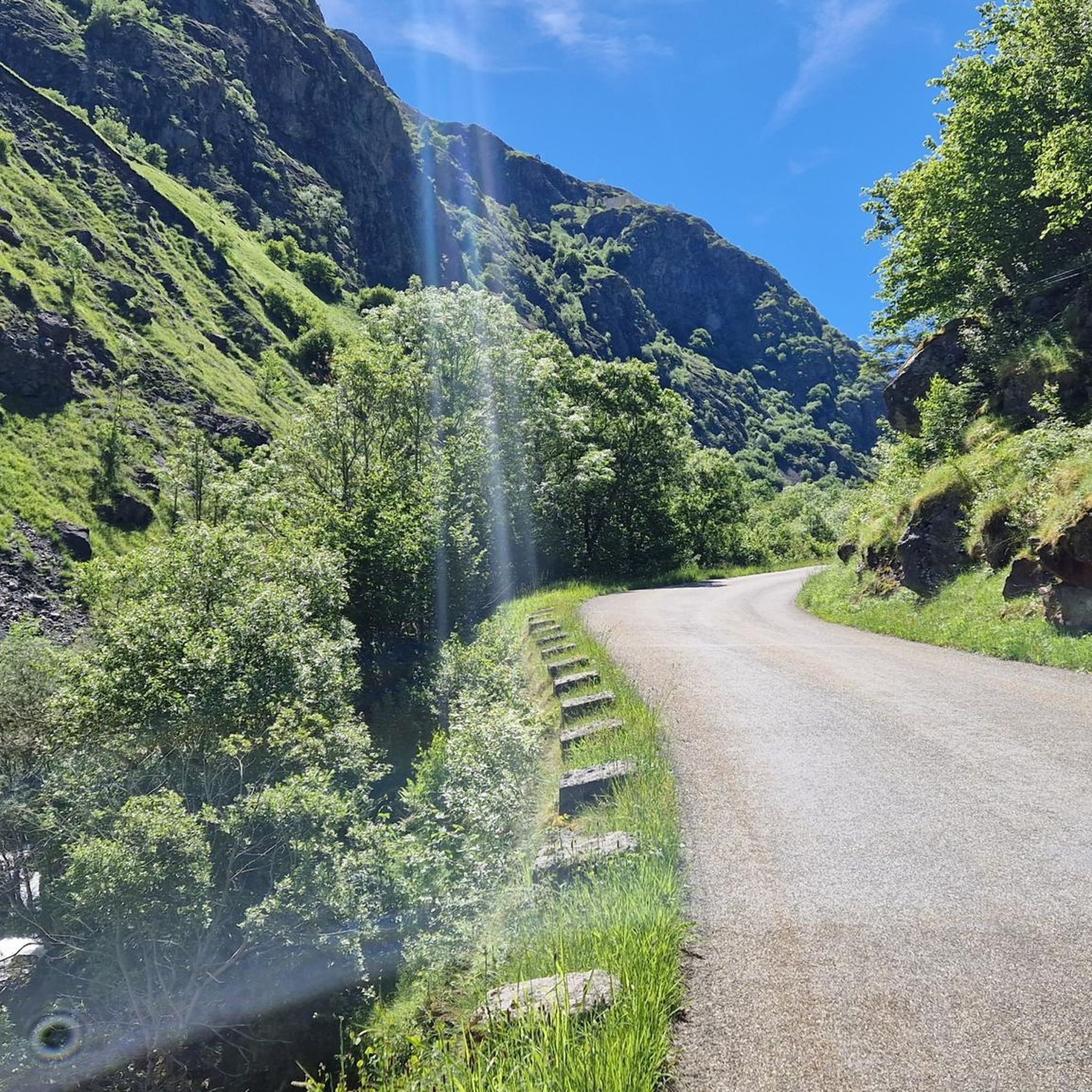
MTB Trails around Luz-Saint-Sauveur
Mountain Hikes around Luz-Saint-Sauveur

Gravel biking around Luz-Saint-Sauveur
Other adventures around Luz-Saint-Sauveur


Tips from the Community

The name of the hike is misleading, there is no lake! 2h05 hike with the family from Luz saint sauveur only to not find a lake! The label for this hike should be changed
0
0

beautiful view, many benches for walking
0
0

This is not a lake, but the start of the path that leads to Lake Bastampe (3 hours of walking).
2
0

Track in poor condition for low cars, magnificent viewpoint over the valleys from Gavarnie to Argelès via the Pic du Midi, no difficulty.
0
0

The best thing is to cross it in the direction of the Luz Ardiden station. It is worth stopping and looking down.
0
0

History buffs cannot miss a little detour via this hillock on which the chapel of Solférino stands. Building built on the initiative of Napoleon III after he discovered the ruins of the old hermitage of Saint-Pierre on the hill.
0
0

definitely climb. A wall is still standing. From there you have a great view of the valley
0
0

Castle at more than 600m altitude which gives a breathtaking view of Luz-Saint-Sauveur and Esquiere
0
0
Frequently Asked Questions
How many hiking trails are available around Luz-Saint-Sauveur?
There are over 45 hiking routes around Luz-Saint-Sauveur, offering a wide range of options for different skill levels and interests. These trails explore the diverse landscapes of the French Pyrénées, from gentle river walks to challenging mountain ascents.
What kind of landscapes can I expect to see while hiking near Luz-Saint-Sauveur?
Hiking around Luz-Saint-Sauveur offers access to dramatic glacial cirques, towering peaks, and high-altitude lakes. You'll find trails through dense pine forests, along riverbeds with impressive waterfalls, and up to panoramic viewpoints. The region is a gateway to the Pyrenees National Park, known for its spectacular, well-preserved scenery.
Are there easy hiking options suitable for beginners or leisurely walks?
Yes, Luz-Saint-Sauveur offers many easy trails perfect for beginners or those seeking a relaxed stroll. For example, the Napoleon Bridge – Solférino Chapel loop from Luz-Saint-Sauveur is an easy 3.9 miles (6.3 km) trail that takes you through historical landmarks and natural scenery. There are 25 easy routes in total.
Can I find challenging or advanced hikes in the Luz-Saint-Sauveur area?
Absolutely. For more experienced hikers, the region provides challenging ascents to mountain summits. An example is the Bergons Peak – Toy Country Belvedere loop from Luz-Saint-Sauveur, a moderate 9.5 miles (15.3 km) route with significant elevation gain, offering rewarding views. There are 6 difficult routes available for those seeking a greater challenge.
Are there any circular hiking routes available from Luz-Saint-Sauveur?
Yes, many trails in the area are designed as circular routes, allowing you to start and end in the same location. The Old wash house – Luz-Saint-Sauveur loop from Luz-Saint-Sauveur is a moderate 4.3 miles (7.0 km) option that explores local history and scenery.
What are some notable natural features or landmarks to see on hikes?
The region is rich in natural wonders. You can explore the stunning Cirque de Gavarnie with its iconic waterfall, or visit the beautiful Pont d'Espagne waterfalls. The Néouvielle Nature Reserve, with its granite massif and numerous lakes, is also a highlight. For panoramic views, consider routes near the Col du Tourmalet.
Are there any hikes that feature waterfalls near Luz-Saint-Sauveur?
Yes, the area is known for its beautiful waterfalls. You can find trails leading to the spectacular View of the Pont d'Espagne waterfalls or enjoy a distant view of the waterfall in the Cirque de Gavarnie. Other notable cascades include the Esplumouse Waterfall and Boussès Waterfall.
What is the best time of year to go hiking in Luz-Saint-Sauveur?
The best time for hiking in Luz-Saint-Sauveur is generally from late spring to early autumn (May to October). During these months, the weather is typically mild, and mountain passes are clear of snow, making most trails accessible. Summer offers lush landscapes and warmer temperatures, while autumn brings vibrant colors.
Are there family-friendly hiking trails in the area?
Yes, many trails are suitable for families. The region offers easy walks like the Napoleon & Eugenie walk or the Bastan promenade in the village of Luz-Saint-Sauveur. These routes are generally shorter with less elevation, providing an enjoyable experience for all ages.
What do other hikers enjoy the most about hiking in Luz-Saint-Sauveur?
The area is highly rated by the komoot community, with an average score of 4.1 stars from over 350 reviews. Hikers frequently praise the diverse terrain, from gentle river walks to challenging mountain ascents, and the stunning natural beauty of the Pyrenees National Park, including its glacial cirques and high-altitude lakes.
Is it possible to reach hiking trailheads using public transport?
While Luz-Saint-Sauveur is a central hub, public transport options to specific trailheads can be limited, especially for more remote mountain routes. It's advisable to check local bus schedules or consider driving to access a wider range of starting points for your hikes.
Are there opportunities for winter hiking or snowshoeing in Luz-Saint-Sauveur?
Yes, during winter months, the region transforms into a snowy landscape, offering opportunities for snowshoeing and winter hiking on designated trails. However, conditions can be challenging, and some higher-altitude routes may be inaccessible due to snow and ice. Always check local conditions and forecasts before heading out.
Most popular routes around Luz-Saint-Sauveur
Most popular attractions around Luz-Saint-Sauveur

Get inspired with the komoot mobile app


Explore more
Browse the best Hikes in other regions.
