The best walks and hikes around Langogne
4.6
(210)
1,640
hikers
42
hikes
Hiking around Langogne offers diverse landscapes, situated at the crossroads of the Margeride mountains and the Haut-Allier Gorges. The region features granite formations, vast forests, and tranquil pastures, with the Allier River and Langouyrou stream shaping the terrain. Lake Naussac provides a significant natural attraction, while hills like Mount Milan and the Bonjour Volcano overlook the area. The varied terrain includes granite from Margeride and basalt from Val d'Allier.
Best hiking trails around Langogne
- The most popular hiking route is La Halle aux Grains – Langogne loop from Saint-Flour-de-Mercoire, a 17.0 miles (27.3 km) trail that takes 7 hours 35 minutes to complete. This difficult route traverses the Margeride region, known for its granite landscapes and forests.
- Another top favourite among local hikers is Naussac Beach – Donozau Waterfall loop from Langogne, a difficult 6.9 miles (11.1 km) path. This trail explores the surroundings of Lake Naussac, featuring water views and the Donozau Waterfall.
- Local hikers also love the Besset Gate – Pradelles loop from Langogne, an 18.1 miles (29.1 km) trail leading through varied landscapes towards the historic village of Pradelles, often completed in about 8 hours 12 minutes.
- Hiking around Langogne is defined by mountainous Margeride landscapes, the dramatic Haut-Allier Gorges, and the expansive Lake Naussac. The network offers options for different ability levels, from easy walks to challenging day hikes.
- The routes in Langogne are highly rated by the komoot community with an average score of 4.6 stars from over 170 reviews. More than 1500 hikers have used komoot to explore Langogne's varied terrain.
Last updated: September 28, 2026
4.6
(34)
308
hikers
11.3km
03:04
120m
120m
Hard hike. Good fitness required. Sure-footedness, sturdy shoes and alpine experience required.
4.4
(8)
58
hikers
Hard hike. Very good fitness required. Easily-accessible paths. Suitable for all skill levels.

4.6
(29)
235
hikers
12.2km
03:11
90m
90m
Moderate hike. Good fitness required. Easily-accessible paths. Suitable for all skill levels.
4.5
(4)
77
hikers
4.01km
01:01
10m
10m
Easy hike. Great for any fitness level. Easily-accessible paths. Suitable for all skill levels.
5.0
(3)
63
hikers
2.39km
00:37
10m
10m
Easy hike. Great for any fitness level. Easily-accessible paths. Suitable for all skill levels.
Get access to more routes and recommendations from other explorers.
Already have an account?
Our route recommendations are based on thousands of hikes, rides, and runs completed by other people on komoot.
Start today with a free account
Your next adventure awaits.
Popular around Langogne
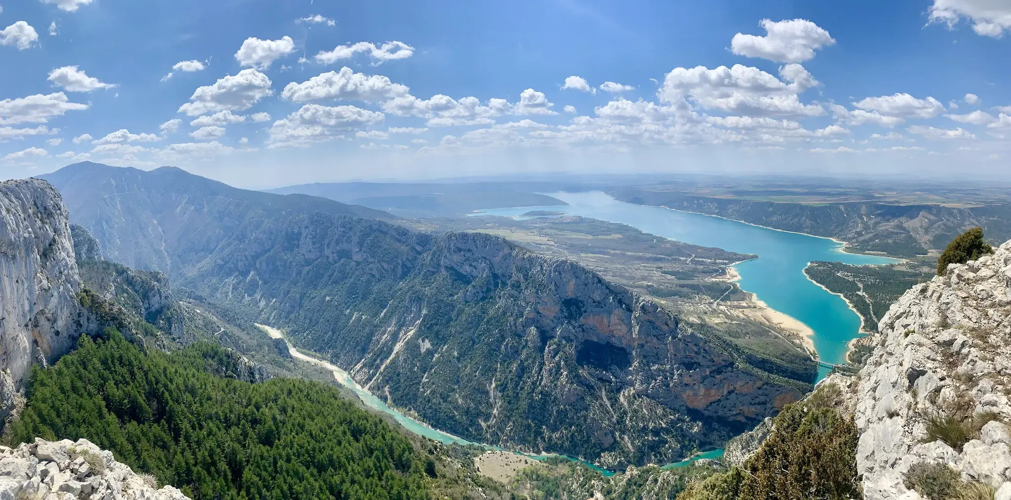
GR 4 – Crossing the south of France from Atlantic Coast to Provence
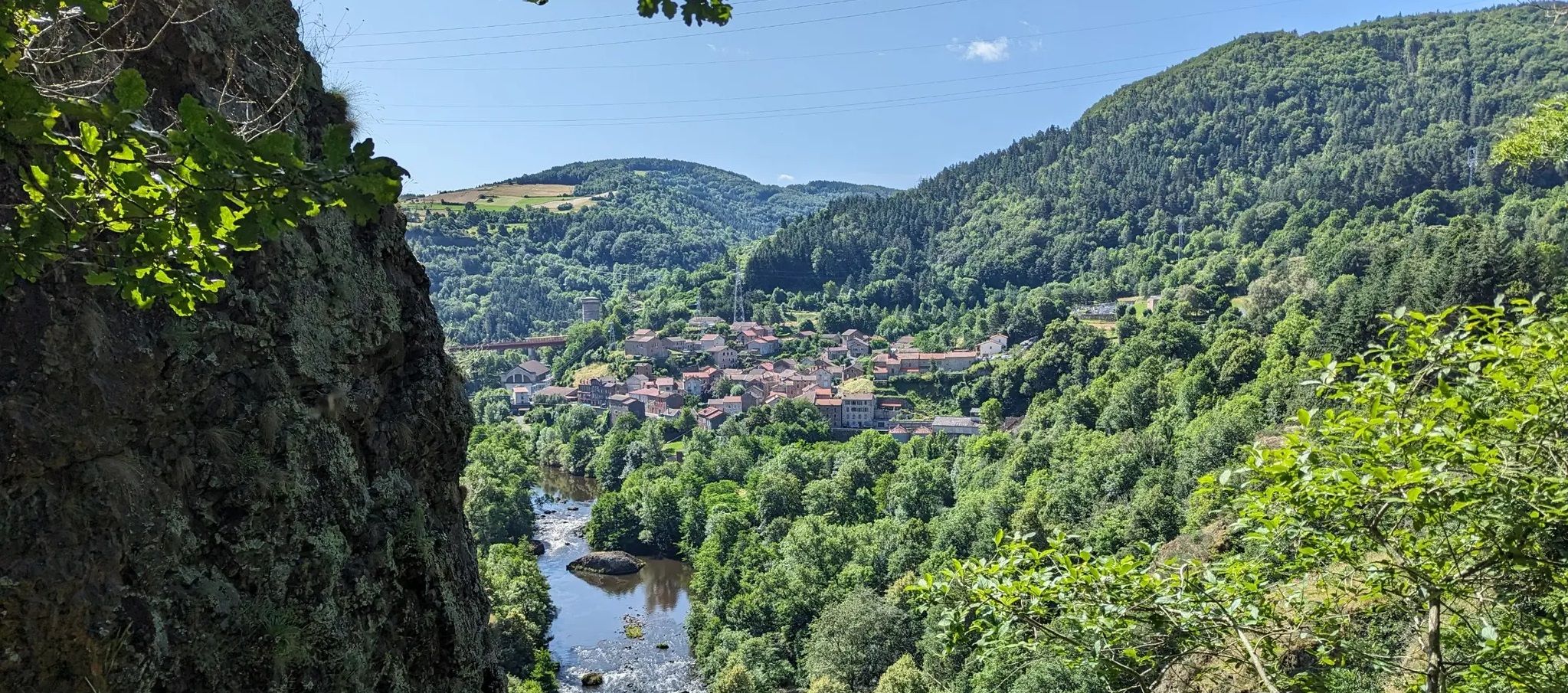
Explore the sources and gorges of France’s Allier River – GR 470

The Grande traversée du Massif Central by gravel bike

‘La Joyeuse Vadrouille’ – two months cycling with the family
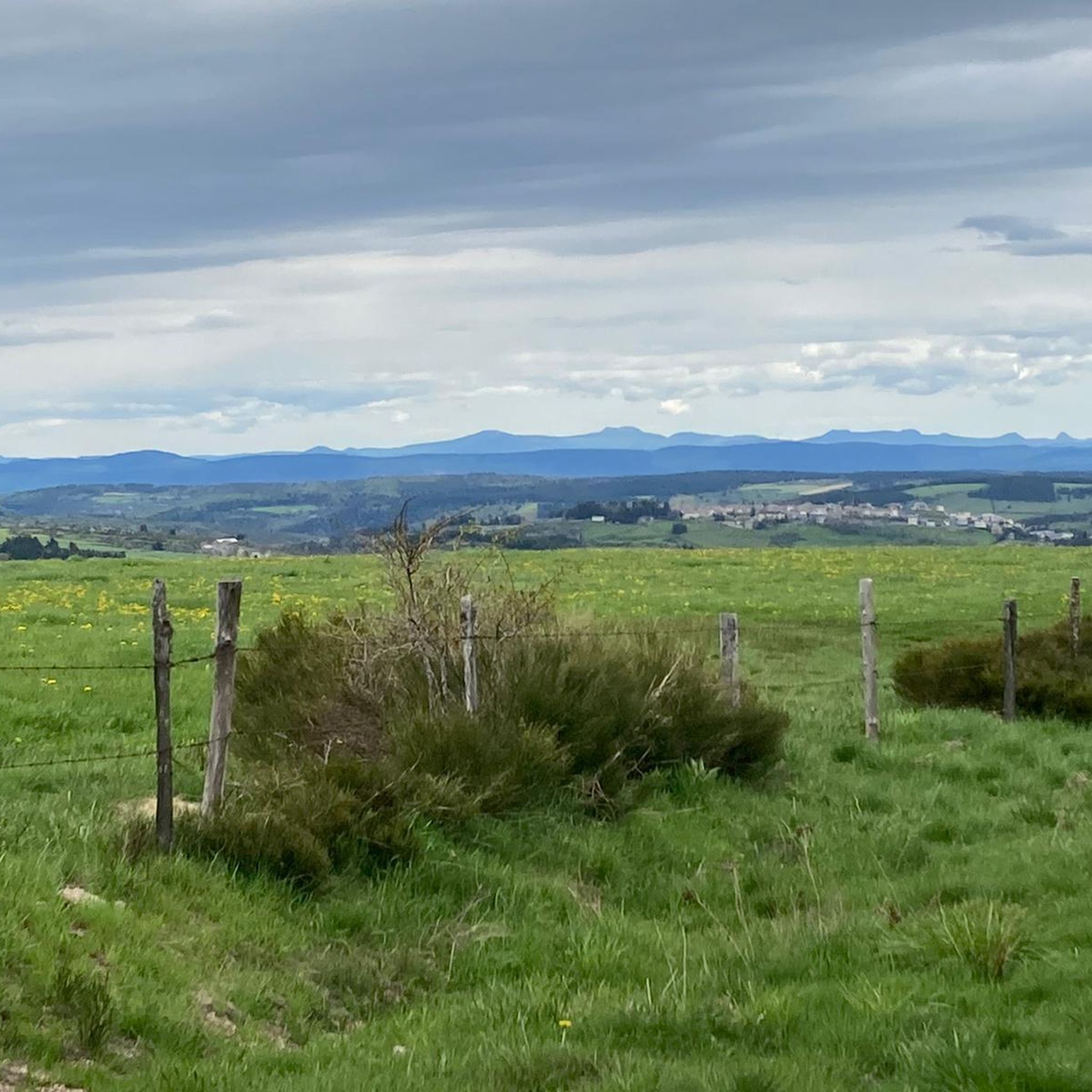
Road Cycling Routes around Langogne
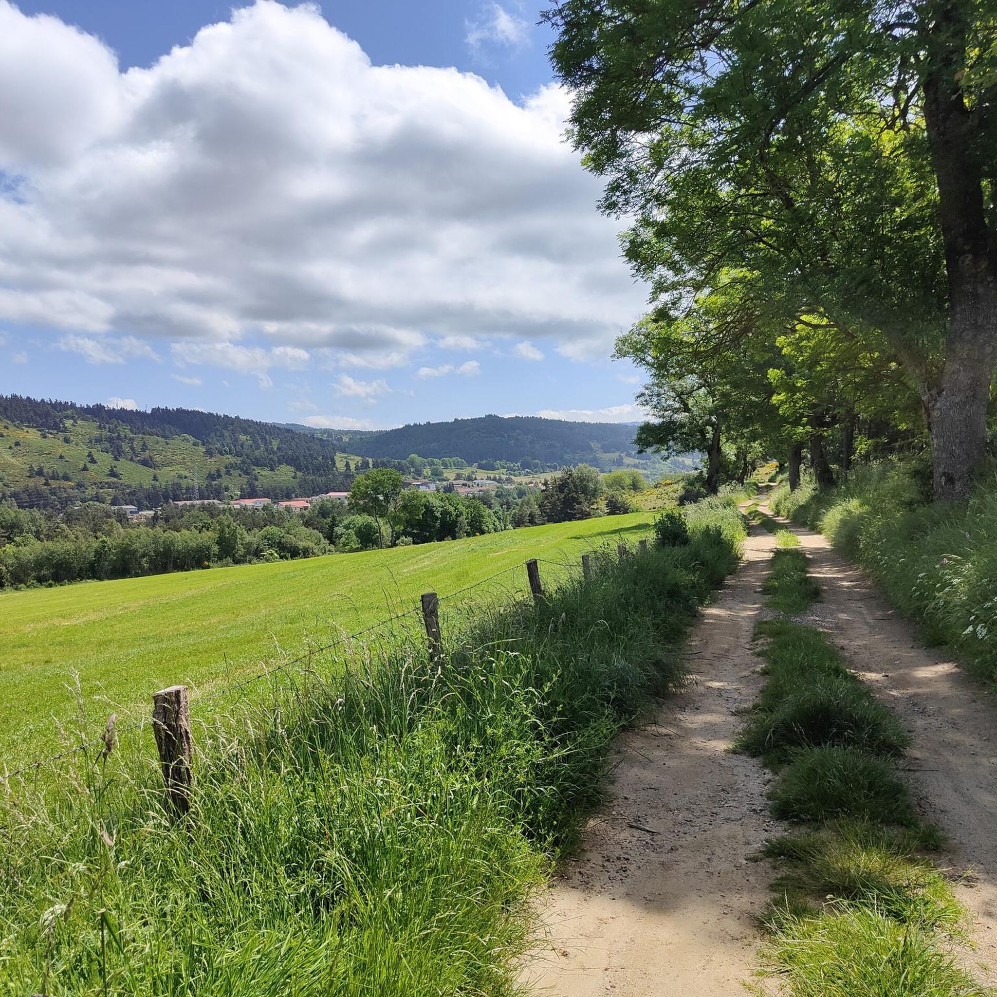
Cycling around Langogne
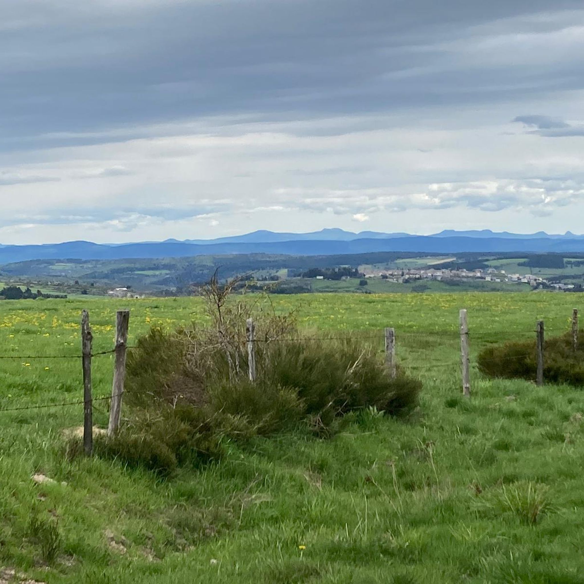
Running Trails around Langogne
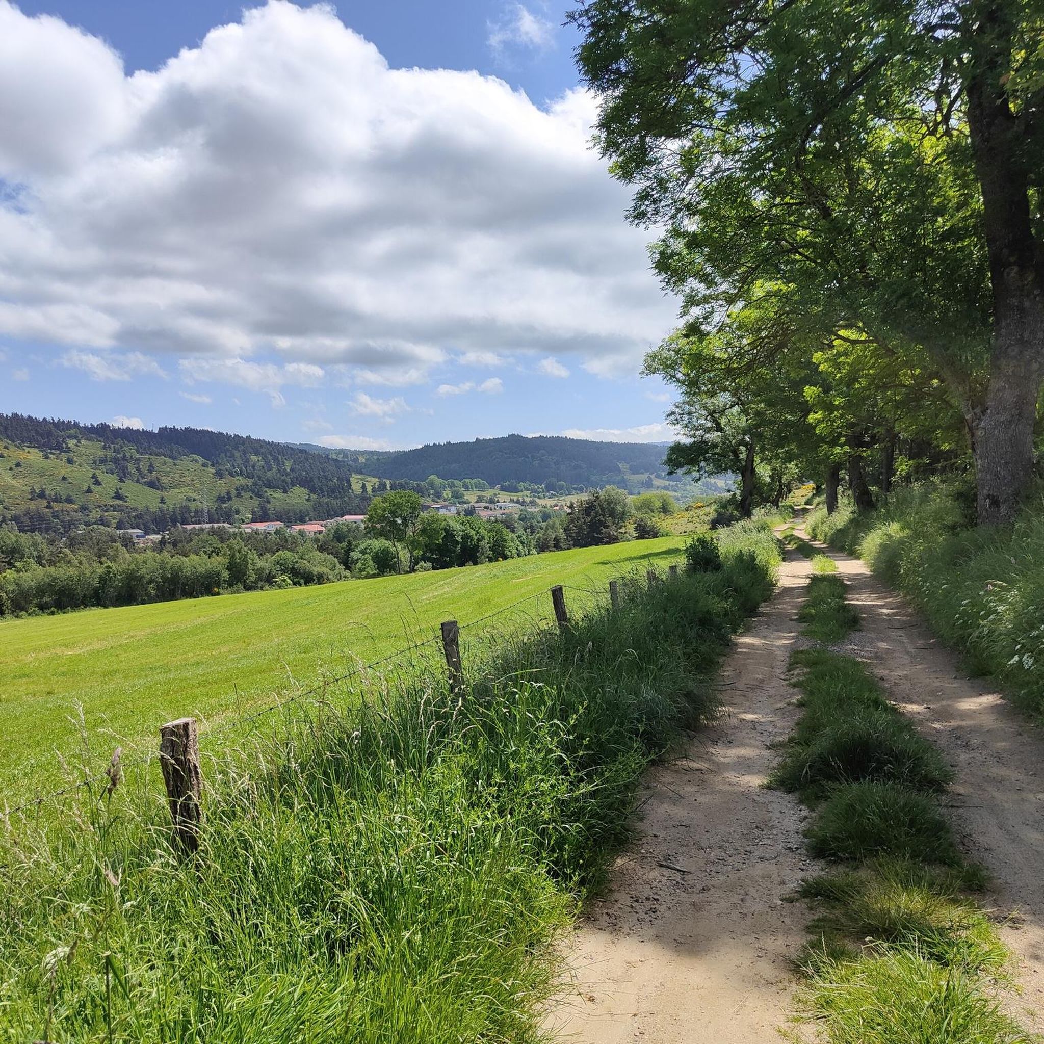
MTB Trails around Langogne

Gravel biking around Langogne
Other adventures around Langogne


Tips from the Community

I don't know the app well enough, but it lacks route suggestions when improvising on the ground, the app doesn't suggest another path, it's up to the user to search. The app's message was: "route modification"
0
0

Be careful, the path is densely overgrown!
0
0

As you skirt the Naussac reservoir, you will discover the Cascade du Donozau. This waterfall, which cascades down a small rock face, creates a picturesque scene ideal for a peaceful picnic. The surrounding area offers a variety of hiking trails that will allow you to explore the diverse landscapes of the region.
1
0

A true inland sea of 1050 hectares of limpid blue! Supervised beaches, snack bar, hiking trails...
1
0

Frequently Asked Questions
How many hiking trails are available around Langogne?
There are over 40 hiking routes available around Langogne, offering a wide range of experiences from easy strolls to challenging day hikes. The komoot community has explored more than 1500 of these routes.
What kind of terrain can I expect when hiking near Langogne?
Hiking around Langogne offers diverse terrain, situated at the crossroads of the mountainous Margeride region, known for its granite formations and vast forests, and the dramatic Haut-Allier Gorges. You'll also find tranquil pastures, the expansive Lake Naussac, and varied landscapes shaped by the Allier River and Langouyrou stream, including basalt areas in the Val d'Allier.
Are there any easy hiking routes suitable for beginners or casual walkers in Langogne?
Yes, Langogne offers 17 easy hiking routes perfect for beginners or those seeking a relaxed walk. An example is the Naussac Beach – Lake Naussac loop from Langogne, a 4.7 km trail that takes about 1 hour 10 minutes to complete, offering pleasant views of the lake.
Can I find family-friendly hiking trails around Langogne?
Many of the easy and moderate trails around Langogne are suitable for families. These routes often feature gentle gradients and scenic points of interest. Consider exploring the areas around Lake Naussac for accessible paths and water activities.
Are there hiking trails in Langogne that feature waterfalls?
Yes, you can find hiking trails that lead to waterfalls in the Langogne area. A notable route is the Lake Naussac – Donozau Waterfall loop from Langogne, a moderate 12.2 km path that allows you to experience both the lake and the Donozau Waterfall.
What notable landmarks or viewpoints can I discover on hikes near Langogne?
Hikes near Langogne can lead you to several interesting landmarks and viewpoints. You can explore the ruins of Luc Castle for panoramic views of the Allier Valley. Within Langogne itself, the Besset Gate and the historic Saint-Pierre Church are points of interest. The region also features natural viewpoints from hills like Mount Milan and the Bonjour Volcano.
Are there circular hiking routes available in the Langogne area?
Many of the hiking routes around Langogne are designed as loops, allowing you to start and end in the same location. An example is the challenging La Halle aux Grains – Langogne loop from Saint-Flour-de-Mercoire, which covers 27.3 km through the Margeride region.
What are the options for public transport or parking when accessing hiking trails in Langogne?
Langogne is accessible by train, making it possible to reach some trailheads via public transport. The town itself serves as a good starting point for many routes, and parking is generally available within the town or at designated trailheads. For specific routes, checking local information for parking availability is recommended.
What do other hikers enjoy the most about hiking in Langogne?
The hiking trails around Langogne are highly rated by the komoot community, with an average score of 4.6 stars from over 170 reviews. Hikers often praise the diverse landscapes, from the granite formations of Margeride to the wild Haut-Allier Gorges, and the scenic beauty of Lake Naussac. The variety of routes catering to different ability levels is also frequently highlighted.
Can I hike along any long-distance trails from Langogne?
Yes, Langogne is a gateway to several renowned long-distance hiking trails. Sections of the historic GR 70 (Stevenson Trail) are accessible from the area, as are parts of the GR 470, which explores the wild Allier River gorges. The GR 4 and the GRP Tour of Margeride also offer opportunities to explore the mountains and Lake Naussac.
Are there any challenging day hikes around Langogne?
For experienced hikers seeking a challenge, Langogne offers several difficult routes. The Besset Gate – Pradelles loop from Langogne is a demanding 29.1 km trail that takes approximately 8 hours 12 minutes to complete, leading through varied landscapes towards the historic village of Pradelles.
What is the best season for hiking in Langogne?
The best seasons for hiking in Langogne are typically spring, summer, and early autumn. During these times, the weather is generally pleasant, and the natural landscapes are at their most vibrant. Spring brings wildflowers, summer offers warm days for lake activities, and autumn provides beautiful foliage, particularly in the forested Margeride region.
Most popular attractions around Langogne

Get inspired with the komoot mobile app


Explore more
Browse the best Hikes in other regions.
