The best walks and hikes around La Luzerne
4.6
(135)
725
hikers
85
hikes
Hiking around La Luzerne offers routes through the rolling countryside of Normandy, characterized by agricultural lands, river valleys, and small villages. The region provides a mix of paths that traverse open fields and follow waterways like the Vire River. Elevation changes are generally moderate, with gentle ascents and descents across the landscape.
Best hiking trails around La Luzerne
- The most popular hiking route is Town Hall of La Luzerne loop from La Barre-de-Semilly, a 5.5 miles (8.9 km) trail…
Last updated: October 5, 2026
5.0
(8)
22
hikers
8.65km
02:26
180m
180m
Moderate hike. Good fitness required. Easily-accessible paths. Suitable for all skill levels.
6
hikers
7.85km
02:12
160m
160m
Moderate hike. Good fitness required. Easily-accessible paths. Suitable for all skill levels.

2
hikers
6.18km
01:38
60m
60m
Easy hike. Great for any fitness level. Easily-accessible paths. Suitable for all skill levels.
5.0
(1)
2
hikers
10.9km
03:01
200m
200m
Moderate hike. Good fitness required. Easily-accessible paths. Suitable for all skill levels.
2
hikers
16.1km
04:19
190m
190m
Moderate hike. Good fitness required. Easily-accessible paths. Suitable for all skill levels.
Get access to more routes and recommendations from other explorers.
Already have an account?
Our route recommendations are based on thousands of hikes, rides, and runs completed by other people on komoot.
Start today with a free account
Your next adventure awaits.


Tips from the Community

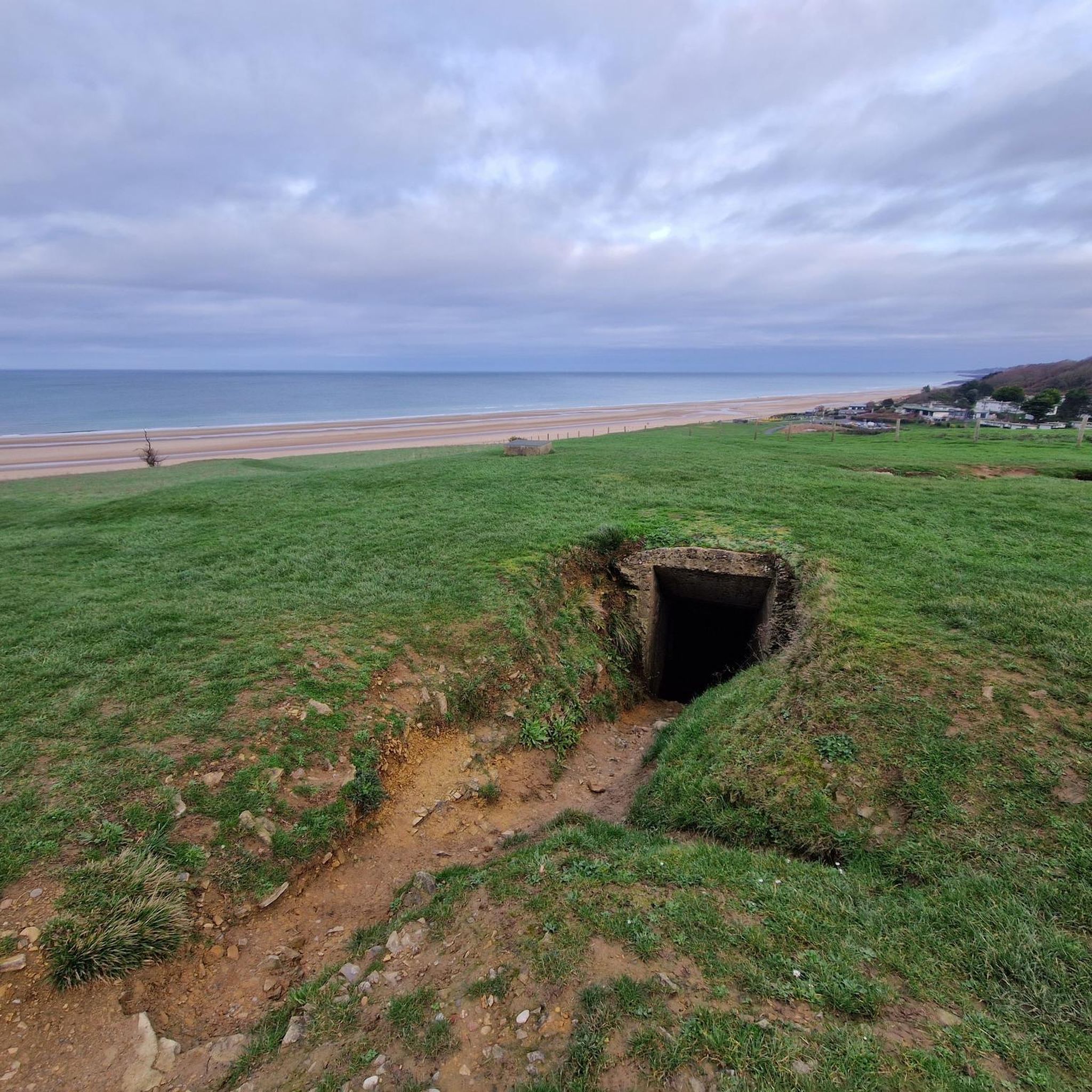
The church was built in the 12th century and rebuilt several times in the 18th and 20th centuries. The bell tower, which collapsed in 1864, was never rebuilt. In 1944, during the Battle of Normandy, the church was severely damaged. Reconstruction and restoration work ended on April 21, 1953, with the church reopening for services. On the tympanum of the side door, a 13th-century bas-relief depicts a bishop holding a key in his left hand and blessing two praying figures. The church contains, among other things, a 16th-century funerary statue of a lady from La Luzerne, which was listed as a historic monument in 1908, and a 1952 mural by Robert Guinard depicting the Baptism of Christ. Source: https://www.wikimanche.fr/%C3%89glise_Saint-Pierre_(La_Luzerne)
0
0

We came by on a Sunday and part of the stables were explicitely open to the public - so you can see the horses and scratch them a little bit :)
0
0

Founded by Napoleon in 1806 and definitely worth a visit. https://www.polehippiquestlo.fr/
2
1

Frequently Asked Questions
What is the typical terrain like for hiking around La Luzerne?
Hiking around La Luzerne features the rolling countryside of Normandy, characterized by agricultural lands, river valleys, and small villages. You'll find a mix of paths that traverse open fields and follow waterways like the Vire River. Elevation changes are generally moderate, with gentle ascents and descents across the landscape.
How many hiking trails are available around La Luzerne?
There are over 80 hiking trails available around La Luzerne, offering a wide range of options for different abilities and preferences. This includes 26 easy routes, 56 moderate routes, and a few more challenging options.
Are there any family-friendly hiking options in La Luzerne?
Yes, La Luzerne offers several easy trails suitable for families. For example, the The Milton loop loop from La Barre-de-Semilly is an easy 3.8-mile (6.1 km) path that takes about 1 hour 38 minutes to complete, leading through rural paths and quiet lanes.
Are there any circular hiking routes around La Luzerne?
Many of the trails around La Luzerne are circular, allowing you to start and end at the same point. A popular example is the Town Hall of La Luzerne loop from La Barre-de-Semilly, a 5.5-mile (8.9 km) route offering views of the local rural environment.
What kind of natural features or landmarks can I expect to see on the trails?
The trails often feature agricultural scenery and follow waterways like the Vire River. You might encounter points of interest such as the Saint-Lô Véloroute or sections of the The Vire Cycle Route. The area also has historical sites like the Abbey of Cerisy-la-Forêt nearby.
What do other hikers enjoy most about the trails in La Luzerne?
The area is highly rated by the komoot community, with an average score of 4.6 stars from over 100 reviews. Hikers often praise the quiet rural environment, the gentle rolling hills, and the well-maintained paths that offer a pleasant experience through agricultural scenery and along river paths.
Are there any longer or more challenging hikes available?
While most routes are easy to moderate, there are some longer options for those seeking a greater challenge. For instance, the Weir on the Vire River – Saint-Lô Véloroute loop from Saint-Lô is a moderate 10.2-mile (16.5 km) hike that explores the river and surrounding areas.
Can I access hiking trails around La Luzerne using public transport?
While specific public transport links directly to trailheads can vary, many routes start from towns like Saint-Lô or La Barre-de-Semilly, which may have public transport connections. It's advisable to check local bus schedules for access to specific starting points.
Are there any specific highlights or attractions worth visiting near the hiking routes?
Beyond the trails themselves, you can explore attractions like the Pole Hippique De Saint-Lô, which is often featured in local routes such as the Pole Hippique De Saint-Lô loop from Saint-Lô. The Towing Path along the Vire River also offers scenic walking opportunities.
What is the typical duration and distance of hikes in the area?
Hikes around La Luzerne vary in length and duration. You can find shorter walks like the 3.8-mile (6.1 km) The Milton loop loop from La Barre-de-Semilly, which takes about 1 hour 38 minutes, up to longer routes such as the 10.2-mile (16.5 km) Weir on the Vire River – Saint-Lô Véloroute loop from Saint-Lô, typically completed in around 4 hours 25 minutes.
Is parking generally available at trailheads around La Luzerne?
Many hiking routes around La Luzerne start from villages or towns like La Barre-de-Semilly and Saint-Lô, where parking facilities are typically available. It's recommended to check the specific starting point of your chosen route for detailed parking information.
Most popular routes around La Luzerne
Most popular attractions around La Luzerne

Get inspired with the komoot mobile app


Explore more
Browse the best Hikes in other regions.
