The best road cycling routes around Teyssières
4.5
(456)
9,773
riders
143
rides
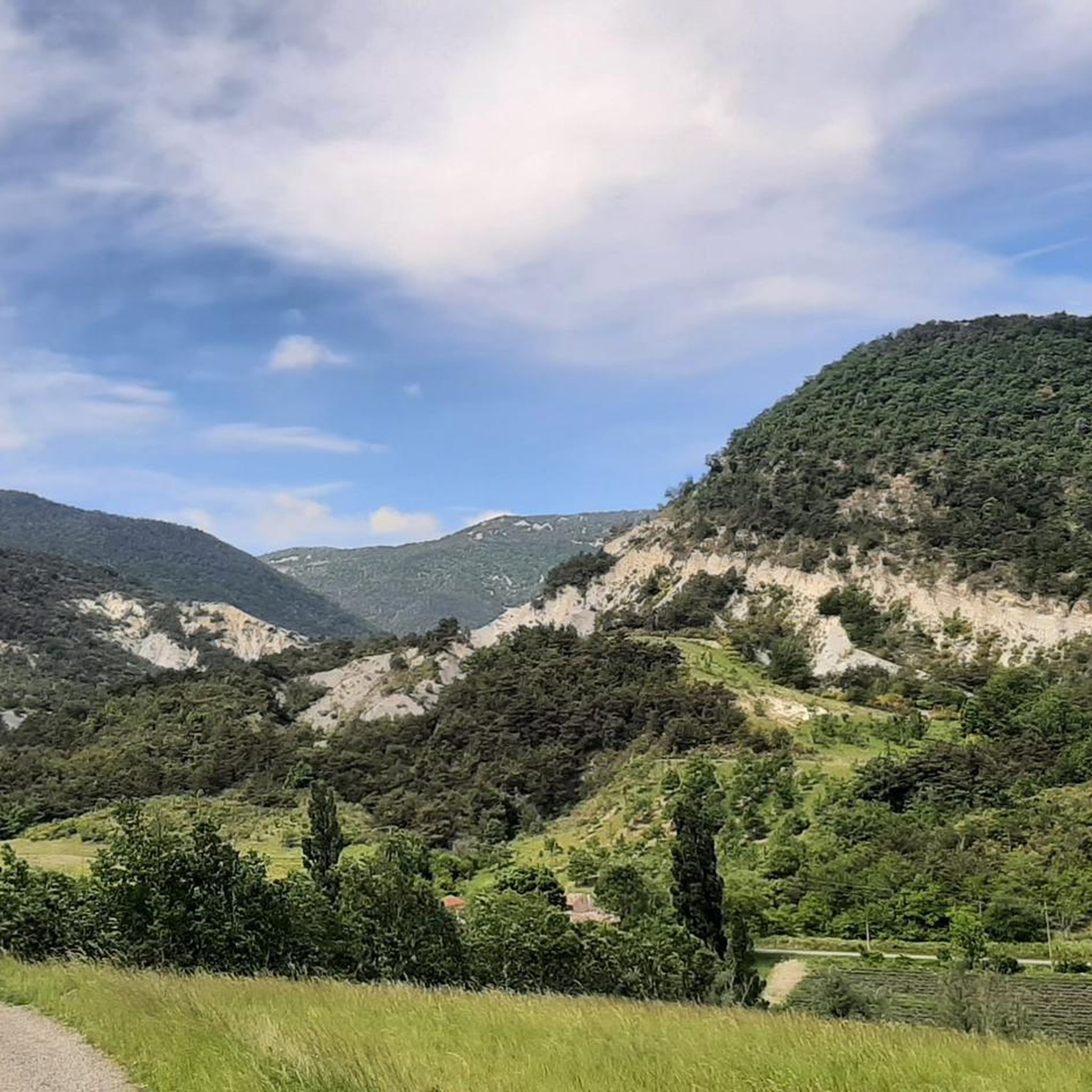
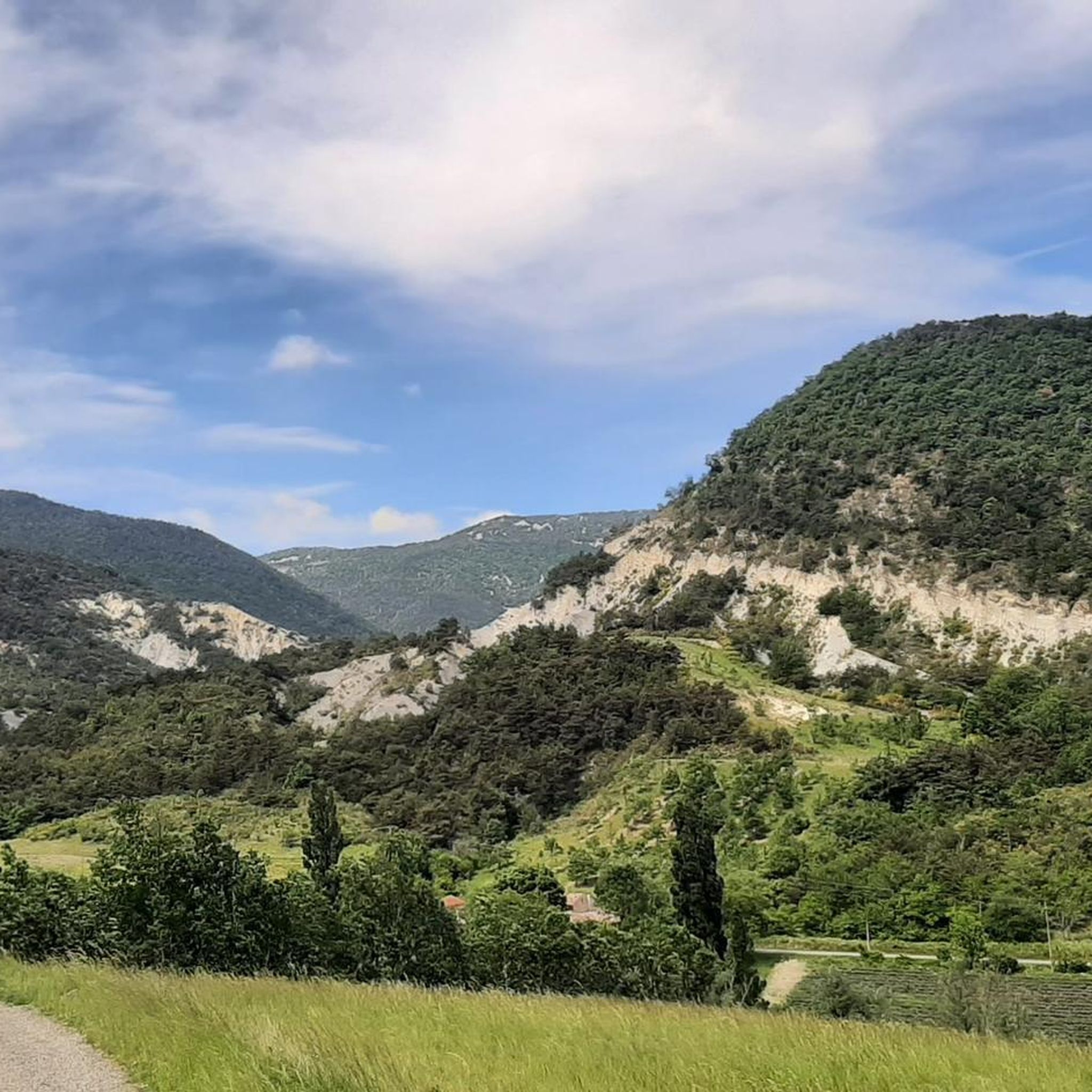
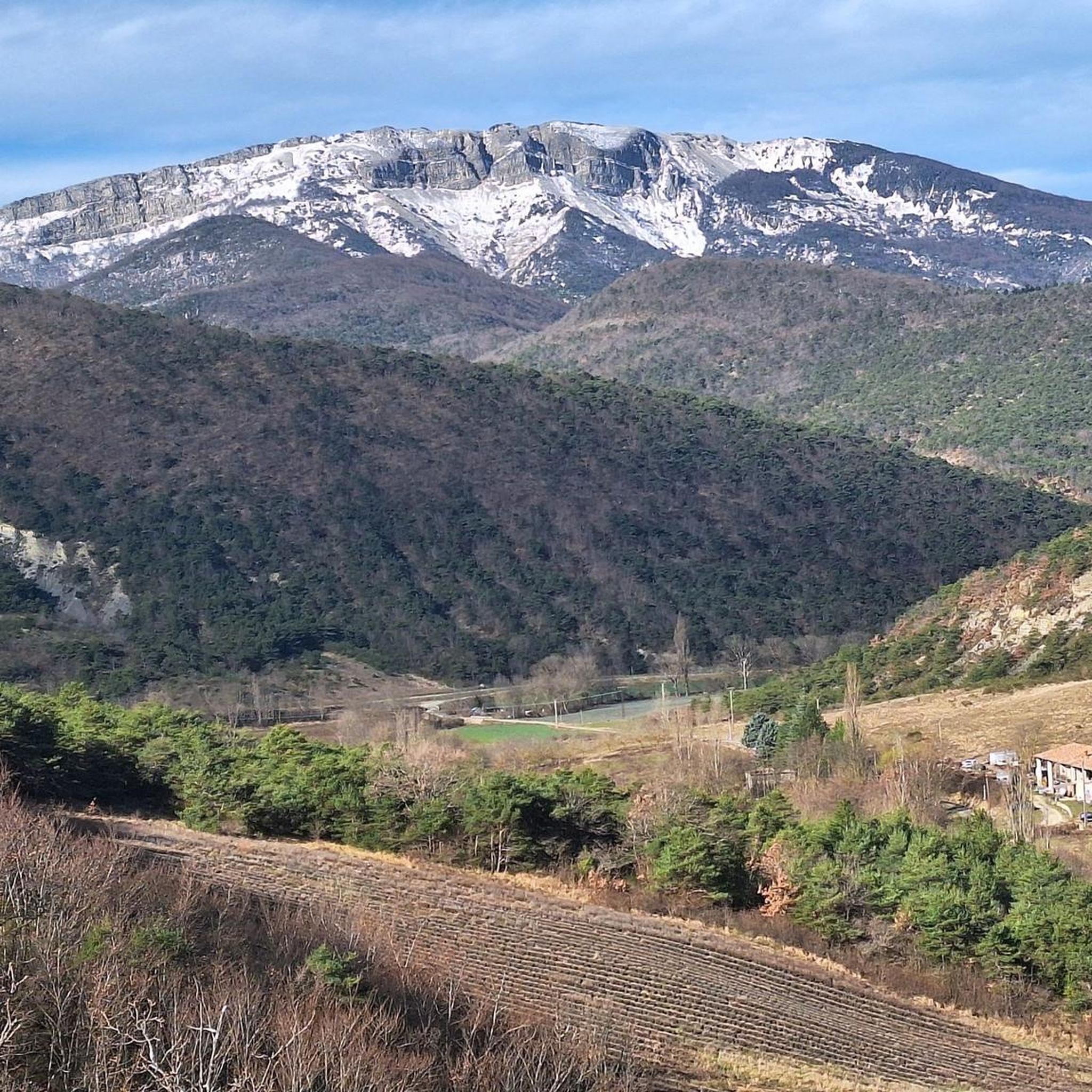
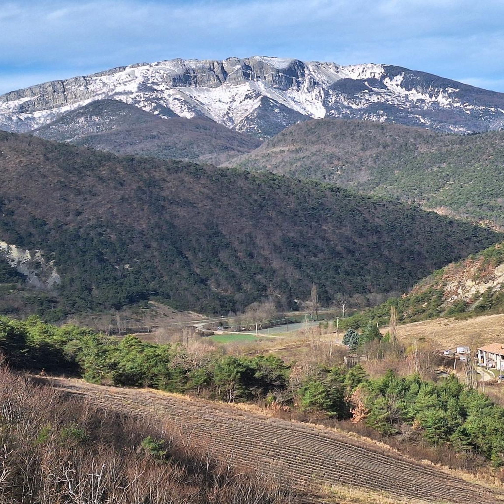
Road cycling routes around Teyssières traverse a diverse landscape within the Drôme department of France, situated at altitudes ranging from 498 to 1,325 meters. The region is characterized by mountainous terrain, including peaks like La Lance and Miélandre, and features winding roads and mountain passes such as the Col de Valouse. Cyclists encounter varied ascents and descents, with unique geological formations like grey marl adding to the scenery. This area, part of the Parc Naturel des Baronnies, offers a network…
Last updated: October 2, 2026
4.4
(25)
401
riders
Moderate road ride. Good fitness required. Mostly well-paved surfaces and easy to ride.
3.3
(3)
178
riders
71.5km
03:58
1,560m
1,560m
Hard road ride. Very good fitness required. Mostly well-paved surfaces and easy to ride.

5.0
(23)
286
riders
39.9km
02:04
730m
720m
Moderate road ride. Good fitness required. Mostly well-paved surfaces and easy to ride.
5.0
(1)
88
riders
98.9km
05:01
1,610m
1,610m
Hard road ride. Very good fitness required. Some segments of this route may be unpaved and difficult to ride.
4.6
(7)
132
riders
Moderate road ride. Good fitness required. Some segments of this route may be unpaved and difficult to ride.
Get access to more routes and recommendations from other explorers.
Already have an account?
Our route recommendations are based on thousands of hikes, rides, and runs completed by other people on komoot.
Start today with a free account
Your next adventure awaits.

Tips from the Community

A very welcome water point by the roadside
0
0
A nice pass to climb, rarely frequented by motorized vehicles. The Gorges are sometimes narrow.
0
0
sources that appear at the right time
0
0

very nice view from the bridge
0
0

Simply stunning viewpoint.
7
0


Wonderful bakery with delicious croissants and other sweet delicacies
1
0
Here, right in front of the school, water bottles can be refilled.
1
0
Frequently Asked Questions
How many road cycling routes are available around Teyssières?
There are over 130 road cycling routes around Teyssières, offering a wide range of options for different skill levels. This includes 14 easy routes, 76 moderate routes, and 46 difficult routes, ensuring there's something for everyone.
What kind of terrain can I expect when road cycling in Teyssières?
Teyssières is nestled within the mountainous Drôme department, part of the Parc Naturel Régional des Baronnies Provençales. You can expect varied terrain with significant elevation changes, including winding roads, mountain passes like the Col de Valouse, and dramatic backdrops from peaks such as La Lance and Miélandre. The region also features unique geological formations like grey marl, adding to the scenic diversity.
Are there road cycling routes suitable for beginners or those seeking an easier ride?
Yes, Teyssières offers 14 easy road cycling routes. While the region is known for its challenging terrain, there are options designed for less experienced cyclists or those looking for a more relaxed ride. Additionally, there are 76 moderate routes that provide a good balance of challenge and accessibility.
What is the best time of year for road cycling in Teyssières?
The best seasons for road cycling in Teyssières, particularly within the Baronnies Provençales Natural Park, are typically spring (April-May) and autumn (September-October). During these months, you'll find pleasant weather and mild temperatures, which are ideal for long rides. You can also enjoy the vibrant lavender fields in bloom during late spring/early summer or the rich autumn colors.
Are there any notable landmarks or attractions to see along the road cycling routes?
Yes, the region around Teyssières is rich in natural beauty and historical sites. You might encounter charming hamlets with stone houses, such as Les Tardieux or Les Brocs. Historical points of interest include the 19th-century church Saint-Pierre-et-Saint-Paul in Teyssières and the ruins of the Château d'Audefrey along the road to Valouse pass. Other attractions in the wider area include the Nyons Roman Bridge and the village and bridge of Les Pilles.
What do other road cyclists enjoy the most about road cycling in Teyssières?
The road cycling routes around Teyssières are highly rated by the komoot community, with an average score of 4.5 stars from over 390 reviews. Cyclists frequently praise the varied terrain, the stunning natural landscapes of the Parc Naturel des Baronnies, and the engaging ascents and descents offered by the numerous mountain passes. The well-maintained roads and dedicated cycling infrastructure also contribute to a positive experience.
Are there any challenging road cycling routes for experienced riders?
Absolutely. For experienced riders seeking a challenge, Teyssières offers 46 difficult road cycling routes. These often feature significant elevation gains and tackle multiple mountain passes. An example is the Sausse Pass – Guillens Pass (802 m) loop from Chaudebonne, which covers 71.5 km with over 1500 meters of elevation gain. Another demanding option is the Col d'Ey (718 m) – Col de la croix rouge (507m) loop from Nyons, a 98.9 km route with over 1600 meters of climbing.
Are there scenic loop routes for road cycling in the area?
Yes, many road cycling routes around Teyssières are designed as scenic loops, allowing you to experience the diverse landscapes without retracing your path. For instance, the Historic Centre of Saou loop from Montjoux is a 59.5 km route that takes you through varied terrain. The region also offers loops through picturesque areas like the Gorges d'Ubrieux and Gorges de la Méouge.
What are some of the notable mountain passes (cols) I can cycle over near Teyssières?
The region around Teyssières is famous for its mountain passes, which provide both challenging climbs and rewarding views. Key cols include the Col de Valouse, which connects the high valley of Lez to the Nyonsais area. Other notable passes in the broader Baronnies Provençales region include the cols of Aulan, Fontaube, Saint Jean, and Perty. These passes often have dedicated information signs detailing their length, height, and gradient.
Are there options for parking when planning a road cycling trip to Teyssières?
While specific parking areas for cyclists in Teyssières village are not detailed, as a small village, you can typically find parking in or near the village center. For routes starting from nearby towns like Nyons or Chaudebonne, there are usually designated parking facilities available. It's always advisable to check local signage upon arrival.
Can I find cafes or restaurants in Teyssières or nearby villages during my ride?
Teyssières is a small village, but the surrounding Drôme Provençale region is known for its charming hamlets and towns. While Teyssières itself might have limited options, nearby larger towns like Nyons or Dieulefit offer a wider selection of cafes, restaurants, and local shops where you can refuel and relax during or after your ride. Many routes pass through or near these villages, making it convenient to plan a stop.
What are the typical elevation gains on road cycling routes around Teyssières?
The elevation gains vary significantly depending on the route's difficulty. Easy routes will have more modest climbs, while difficult routes can feature substantial ascents. For example, the Sausse Pass – Guillens Pass (802 m) loop from Chaudebonne involves an elevation gain of over 1500 meters. Even moderate routes like the Nyons Roman Bridge – Col de la croix rouge (507m) loop from Nyons can include over 600 meters of climbing, providing a good workout.
Most popular routes around Teyssières
Most popular attractions around Teyssières

Get inspired with the komoot mobile app


Explore more
Browse the best Road cycling routes in other regions.
