The best MTB trails around Cys-La-Commune
4.3
(53)
256
riders
49
rides
Mountain biking around Cys-La-Commune offers a diverse landscape for riders. The region features a mix of rolling terrain, including areas around historical fortifications and through dense woodlands. Elevation changes are present, with routes incorporating both gradual climbs and steeper sections, providing varied challenges for mountain bikers.
Best mountain bike trails around Cys-La-Commune
- The most popular mountain bike trail is Fort de Condé – Nice climb😩 loop from Condé-sur-Aisne, a 27.6 miles (44.4 km) trail that takes 3 hours 40…
Last updated: October 26, 2026
4.0
(1)
25
riders
44.4km
03:40
590m
590m
Moderate mountain bike ride. Good fitness required. Advanced riding skills necessary.
4.7
(3)
9
riders
29.4km
02:33
520m
520m
Moderate mountain bike ride. Good fitness required. Advanced riding skills necessary.

5.0
(1)
3
riders
27.6km
01:59
240m
240m
Moderate mountain bike ride. Advanced riding skills necessary.
5.0
(1)
17
riders
42.4km
03:40
680m
680m
Moderate mountain bike ride. Good fitness required. Advanced riding skills necessary.
5.0
(1)
2
riders
20.1km
01:25
200m
200m
Moderate mountain bike ride. Advanced riding skills necessary.
Get access to more routes and recommendations from other explorers.
Already have an account?
Our route recommendations are based on thousands of hikes, rides, and runs completed by other people on komoot.
Start today with a free account
Your next adventure awaits.
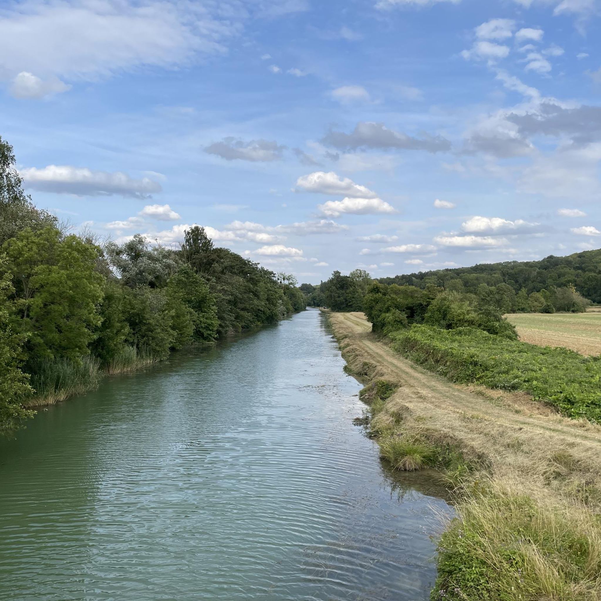
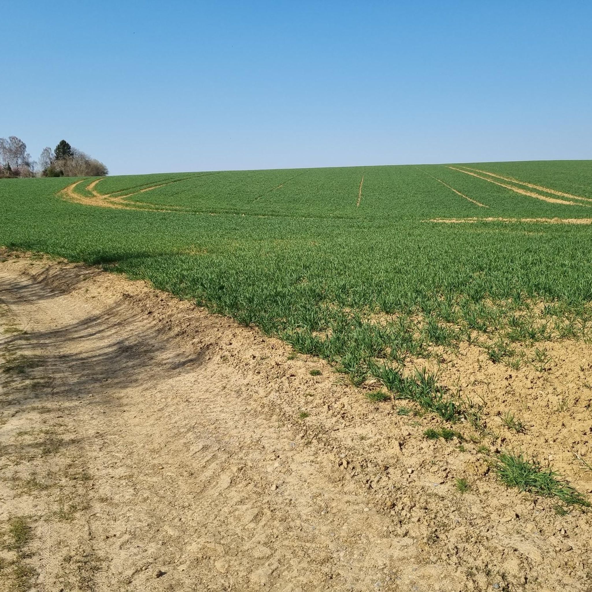

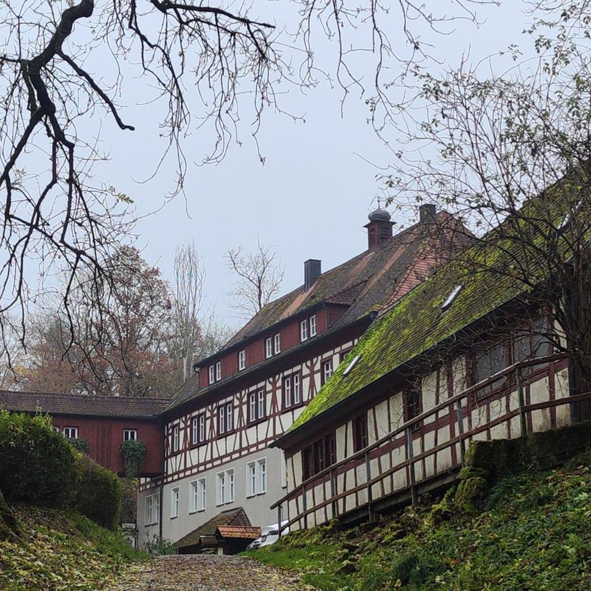
Tips from the Community

A superb church to see, at the top of a good climb.
0
0

Magnificent and impressive church to discover and for mountain bikers there are marked routes.
0
0

great hike on foot and by mountain bike. see hiking the mountains of Missy see you in 2025. To discover .
0
0

Here you will follow a fantastic path that runs along the edge of the woods which almost seem to hang above you.
2
0
Small fairly steep descent with a direct right turn at the bottom.
0
0

These 19th-century forts had already lost their invincibility in the second half of the century and were more of a "belt of remnants" that no longer played a major strategic role. It was only when the Chemin des Dames became a deadlock as a front area that they became relevant again for a short time. Here you can feel this survived history well, the cellar-like bunkering on the mountain. Almost a small green overgrown labyrinth today....
0
0

The fortress is well preserved and can also be visited with a guide. The area around it is beautiful, green, with benches and tables. The parking lot is large and free.
1
0
Frequently Asked Questions
How many mountain bike trails are available around Cys-La-Commune?
There are over 45 mountain bike trails around Cys-La-Commune, offering a wide range of options for different skill levels and preferences.
Are there mountain bike trails suitable for beginners in Cys-La-Commune?
Yes, Cys-La-Commune offers 7 easy mountain bike trails. A good option for beginners is the Mount Notre-Dame loop from Courcelles-sur-Vesle, which is 12.5 miles (20.1 km) long and leads through a gently hilly landscape.
What kind of terrain can I expect on mountain bike trails in Cys-La-Commune?
The region features a diverse landscape with rolling terrain, including areas around historical fortifications and through dense woodlands. You'll encounter both gradual climbs and steeper sections, providing varied challenges.
Are there any challenging mountain bike routes for experienced riders?
Absolutely. For experienced riders seeking a challenge, there are 4 difficult mountain bike trails. Consider the Nice climb😩 – Short Descent in the Forest loop from Condé-sur-Aisne, a demanding 42.7 miles (68.7 km) route with significant elevation changes.
What historical sites or landmarks can I see while mountain biking in Cys-La-Commune?
Many trails incorporate historical sites. For example, the Fort de Condé – Nice climb😩 loop from Condé-sur-Aisne explores the area around the historic Fort of Condé. You can also find trails passing by the Malmaison German Cemetery or the Paissy Troglodyte Village.
Are there mountain bike trails that are circular or loops?
Yes, many of the mountain bike trails in Cys-La-Commune are designed as loops, allowing you to start and finish at the same point. Examples include the Vauclair Abbey – Ailles village monument loop from Bourg-et-Comin and the Fort de Condé – Steep slope loop from Condé-sur-Aisne.
What do other mountain bikers enjoy most about the trails in Cys-La-Commune?
The trails in Cys-La-Commune are highly rated by the komoot community, with an average score of 4.2 stars from over 40 reviews. Riders often praise the varied terrain, the exploration of historical sites, and the well-maintained forested sections.
What is the best time of year for mountain biking in Cys-La-Commune?
Spring and autumn generally offer the most pleasant conditions for mountain biking in Cys-La-Commune, with milder temperatures and beautiful scenery. Summer can also be good, but be prepared for warmer weather, especially on exposed sections. Winter riding is possible, but trails may be muddy or icy depending on conditions.
Are there mountain bike routes that pass through villages or near places to eat?
While specific cafe data isn't always available for every trail, many routes pass through or near villages like Condé-sur-Aisne or Bourg-et-Comin, where you can typically find local amenities and places to refuel. Planning your route with komoot allows you to identify such points along the way.
What is the typical distance and duration for mountain bike trails in this area?
Trail distances vary significantly, from shorter loops like the 12.5 miles (20.1 km) Mount Notre-Dame loop, which takes about 1 hour 25 minutes, to longer, more challenging routes such as the 42.7 miles (68.7 km) Nice climb😩 – Short Descent in the Forest loop, which can take over 5 hours.
Can I find trails that offer good views or scenic points?
Yes, the region's varied elevation profiles and forested sections often open up to scenic views. Trails exploring areas around historical fortifications, such as those near the Fort of Condé, frequently offer panoramic vistas of the surrounding countryside.
Most popular routes around Cys-La-Commune
Most popular attractions around Cys-La-Commune

Get inspired with the komoot mobile app


Explore more
Browse the best MTB trails in other regions.
