The best walks and hikes around Beauvoir
4.4
(1231)
18,028
hikers
41
hikes
Hiking around Beauvoir offers access to a distinctive coastal environment, characterized by vast intertidal zones and polders reclaimed from the sea. The landscape provides expansive views of the Mont Saint-Michel Bay and the iconic Mont Saint-Michel itself. Trails feature varying elevations, though generally gentle, with some routes offering views from slightly higher points. This region is defined by its unique blend of historical landmarks and natural coastal features.
Best hiking trails around Beauvoir
- The most popular hiking route is Customs Officers' Path to Mont Saint-Michel, a 4.4 miles (7.1 km) trail that takes 1 hour 48 minutes to complete. This easy path offers coastal views and leads directly to Mont Saint-Michel.
- Another top favourite among local hikers is Mont-Saint-Michel Abbey – Mont Saint-Michel loop from Beauvoir, a moderate 7.6 miles (12.2 km) path. This route circles the Mont-Saint-Michel Abbey, providing an immersive experience of the area's historical and natural features.
- Local hikers also love the Le Mont Saint Michel ⛰️ – View of Mont Saint-Michel loop from Beauvoir, a 2.9 miles (4.7 km) trail leading through the coastal landscape, often completed in about 1 hour 10 minutes.
- Hiking around Beauvoir is defined by coastal paths, polders, and scenic views of Mont Saint-Michel Bay. The network offers options for different ability levels, from easy strolls to moderate loops.
- The routes in Beauvoir are highly rated by the komoot community with an average score of 4.3 stars from over 1,600 reviews. More than 22,000 hikers have used komoot to explore Beauvoir's varied terrain.
Last updated: July 20, 2026
4.8
(562)
8,255
hikers
7.07km
01:49
30m
30m
This easy 4.4-mile (7.1 km) hike on the Customs Officers' Path leads to Mont Saint-Michel, offering coastal views and historical insights.
4.5
(11)
216
hikers
Easy hike. Great for any fitness level. Easily-accessible paths. Suitable for all skill levels.

Sign up for free
4.8
(538)
7,076
hikers
10.3km
02:36
10m
10m
Moderate hike. Good fitness required. Easily-accessible paths. Suitable for all skill levels.
5.0
(1)
123
hikers
3.46km
00:52
0m
0m
Easy hike. Great for any fitness level. Easily-accessible paths. Suitable for all skill levels.
4.5
(6)
20
hikers
Moderate hike. Good fitness required. Easily-accessible paths. Suitable for all skill levels.
Get access to more routes and recommendations from other explorers.
Sign up for free
Already have an account?
Our route recommendations are based on thousands of hikes, rides, and runs completed by other people on komoot.
Start today with a free account
Your next adventure awaits.
Login or Signup

Tips from the Community

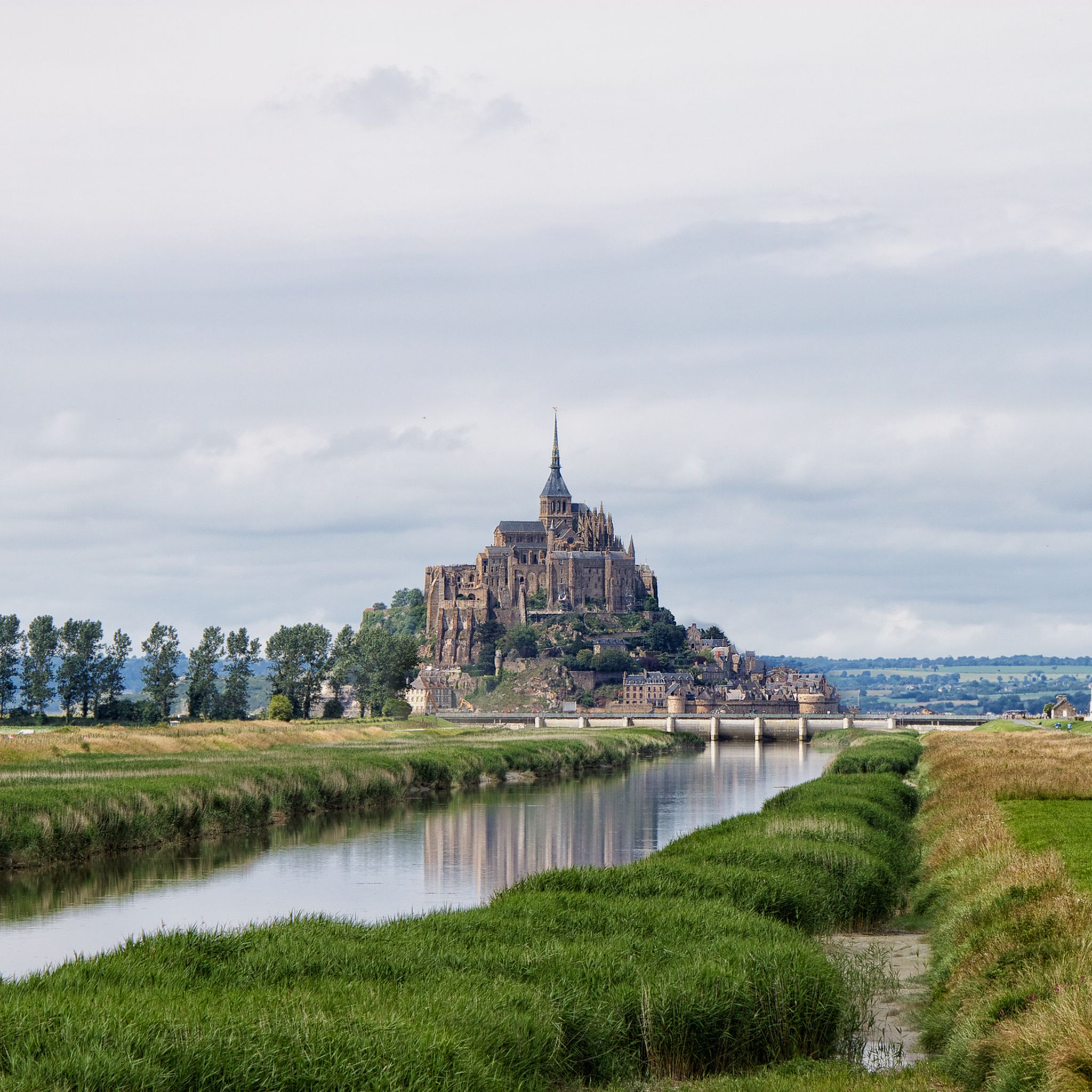
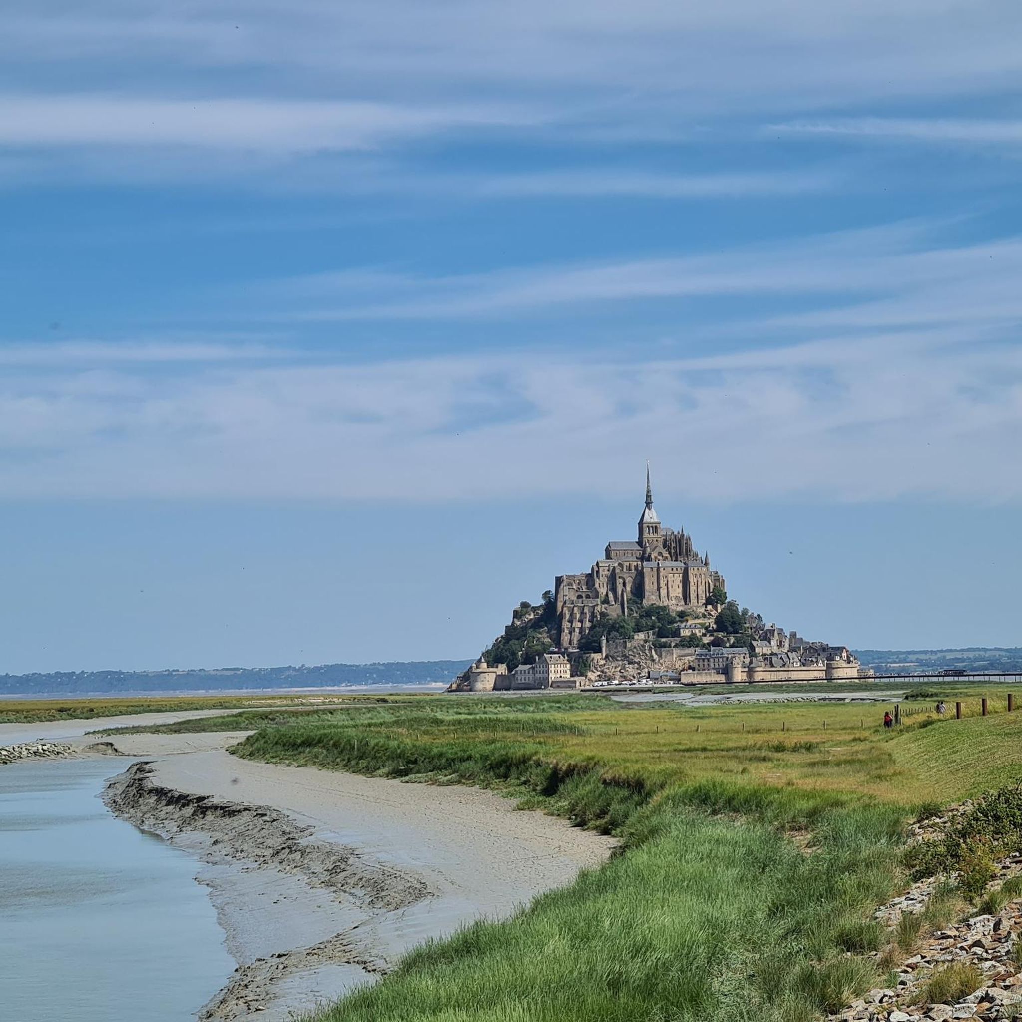
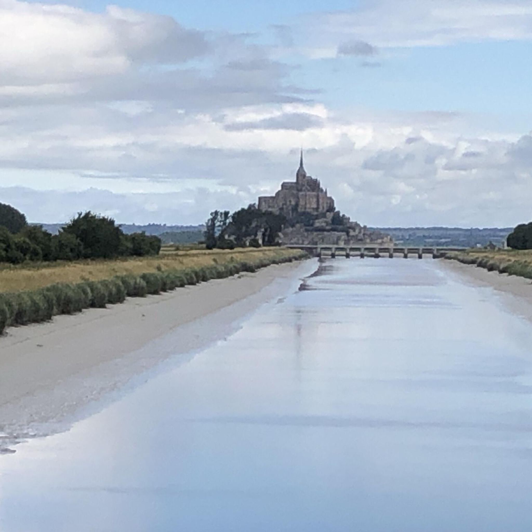
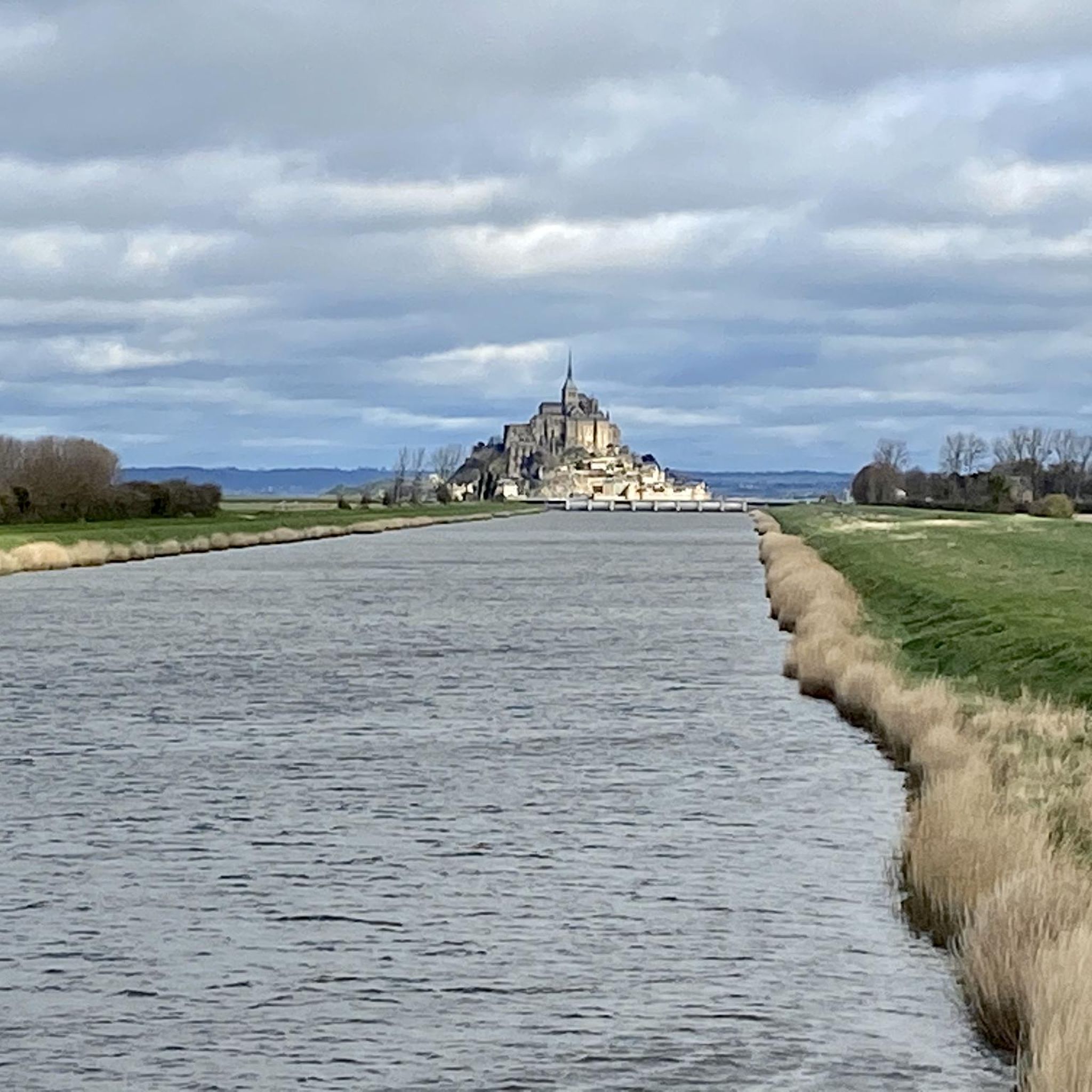
The footpath along the Couesnon to the dam already offers an impressive view of Mont-Saint-Michel. From here, the path with an unobstructed view leads across the salt marshes and the bay, with the landmark of Normandy impressively rising against the wide landscape. Especially in calm weather and with changing light, atmospheric views emerge of Mont-Saint-Michel, the course of the Couesnon river, and the tide-shaped surroundings.
1
0
The Couesnon dam (Barrage du Couesnon) was completed in 2009 and is part of the measures to preserve the bay of Mont-Saint-Michel. The facility regulates the water flow of the Couesnon and supports the natural removal of sediments by the tides. This is intended to counteract the increasing silting up of the bay and preserve the special character of Mont-Saint-Michel as a tidal island. The dam also offers a popular viewpoint with a view of Mont-Saint-Michel and the surrounding salt marshes.
1
0

From there it looks the strongest !!!
1
0

Practical for going to Pontorson station
0
0


If there's a remarkable site that's worth a detour, it's Mont St Michel!
1
0
The Tour du Nord is a mighty defensive tower on the northern edge of Mont Saint-Michel, built in the late 15th century under Charles VIII. It once served as an artillery position and watchtower to protect the abbey hill from attacks during the Hundred Years' War. Today, the tower is part of the Chemin des Remparts, the circular walk along the city walls. From here, you can enjoy impressive views over the bay of Mont Saint-Michel, especially at low tide and sunset. Although the tower is usually closed to the public, its massive construction still conveys the defensive character of bygone times and is one of the most beautiful vantage points on Mont Saint-Michel.
25
0
Frequently Asked Questions
How many hiking trails are available around Beauvoir?
Beauvoir offers a diverse selection of hiking trails, with over 45 routes recorded on komoot. These range from easy strolls to more moderate loops, catering to various fitness levels.
What types of landscapes can I expect to see while hiking in Beauvoir?
Hiking in Beauvoir provides unique coastal landscapes, characterized by vast intertidal zones and polders (land reclaimed from the sea). You'll enjoy expansive views of the Mont Saint-Michel Bay and the iconic Mont Saint-Michel itself. Trails feature gentle elevations, with some offering views from slightly higher points.
Are there any easy hiking trails suitable for beginners in Beauvoir?
Yes, Beauvoir has many easy trails perfect for beginners. For example, the Customs Officers' Path to Mont Saint-Michel is an easy 7.1 km route offering coastal views directly to Mont Saint-Michel. Another gentle option is the Le Mont Saint Michel ⛰️ – Kühe am Campingplatz loop from Beauvoir, a 4.6 km loop.
What are some longer or more challenging hiking options in the area?
For those seeking a more extensive experience, the Mont-Saint-Michel Abbey – Mont Saint-Michel loop from Beauvoir is a moderate 12.2 km path that circles the Abbey, providing an immersive journey. Another moderate option is the Grande Rue – The mountain loop from Pontorson, which is 13.3 km long.
Are there any circular walks around Beauvoir?
Yes, many of the trails around Beauvoir are circular, allowing you to start and end at the same point. A popular example is the Le Mont Saint Michel ⛰️ – View of Mont Saint-Michel loop from Beauvoir, a 4.7 km route offering scenic views.
What attractions or landmarks can I see along the hiking trails?
The primary attraction is undoubtedly Mont Saint-Michel itself, which many trails lead to or offer views of. You can also discover viewpoints like Beautiful view of Mont-Saint-Michel (Barrage) and View of the Bay of Mont-Saint-Michel. The The Couesnon at Beauvoir river is also a notable feature.
Is Beauvoir a good destination for family-friendly hikes?
Absolutely. The region offers numerous easy and relatively flat trails, making them suitable for families with children. Many routes provide stunning views of Mont Saint-Michel without requiring strenuous effort, such as the shorter loops around Beauvoir.
What is the best time of year to go hiking in Beauvoir?
The coastal environment of Beauvoir is enjoyable throughout much of the year. Spring and autumn offer pleasant temperatures and fewer crowds, ideal for exploring. Summer is also popular, though it can be busier. Winter hiking is possible, but be prepared for cooler, potentially windy conditions due to the coastal exposure.
What do other hikers enjoy most about hiking in Beauvoir?
The komoot community highly rates the hiking experience in Beauvoir, with an average score of 4.3 stars from over 1,600 reviews. Hikers frequently praise the unparalleled views of Mont Saint-Michel, the unique coastal scenery, and the accessibility of trails that cater to various skill levels.
Are there any specific viewpoints I should look for during my hike?
Yes, the area is rich with scenic viewpoints. Besides the iconic views of Mont Saint-Michel from various paths, you can seek out specific spots like Beautiful view of Mont-Saint-Michel (Barrage) and View of the Bay of Mont-Saint-Michel, which offer panoramic vistas of the bay and its surroundings.
Most popular attractions around Beauvoir

Get inspired with the komoot mobile app


Explore more
Browse the best Hikes in other regions.
