The best road cycling routes around Draveil
4.3
(526)
11,967
riders
656
rides
Road cycling routes around Draveil are characterized by a landscape of river bends, state forests, and gently rolling terrain. The region, situated along the Seine, offers a network of paths suitable for road bikes, often passing through wooded areas and open countryside. Elevations are generally low, with most ascents qualifying as hills rather than significant climbs. The diverse terrain includes both wooded areas and open spaces, providing varied cycling experiences.
Best road cycling routes around Draveil
- The most popular road…
Last updated: October 5, 2026
4.5
(25)
205
riders
52.2km
02:17
300m
300m
Moderate road ride. Good fitness required. Some segments of this route may be unpaved and difficult to ride.
4.3
(4)
104
riders
39.9km
01:37
160m
160m
Moderate road ride. Great for any fitness level. Some segments of this route may be unpaved and difficult to ride.

2.7
(3)
67
riders
44.5km
01:55
190m
190m
Moderate road ride. Great for any fitness level. Some segments of this route may be unpaved and difficult to ride.
5.0
(1)
39
riders
76.5km
03:04
300m
300m
Moderate road ride. Good fitness required. Some segments of this route may be unpaved and difficult to ride.
5.0
(2)
34
riders
38.1km
01:31
140m
140m
Moderate road ride. Great for any fitness level. Some segments of this route may be unpaved and difficult to ride.
Get access to more routes and recommendations from other explorers.
Already have an account?
Our route recommendations are based on thousands of hikes, rides, and runs completed by other people on komoot.
Start today with a free account
Your next adventure awaits.


Tips from the Community

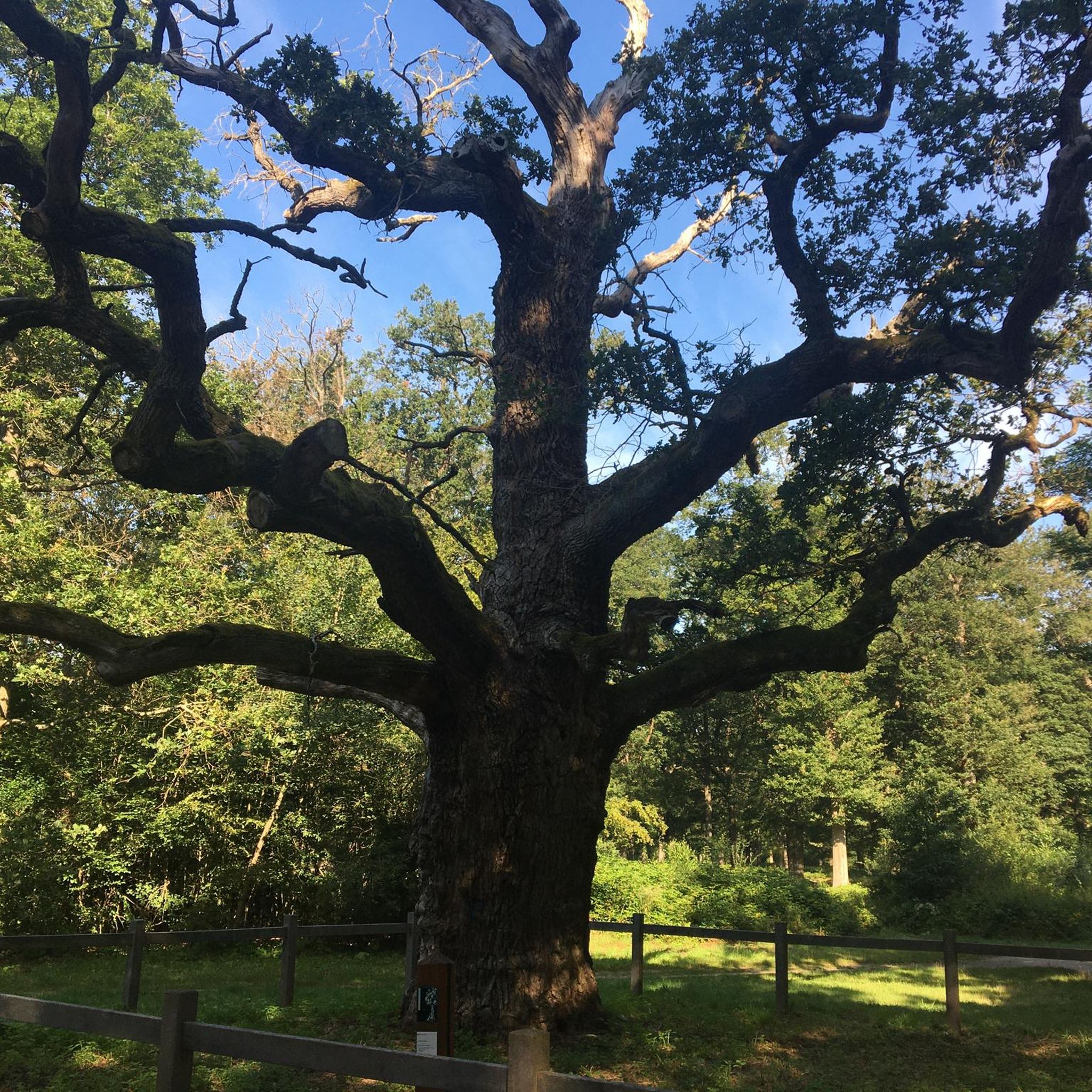
ONF will plant a young oak tree in the middle of the Antin oak tree.
0
0

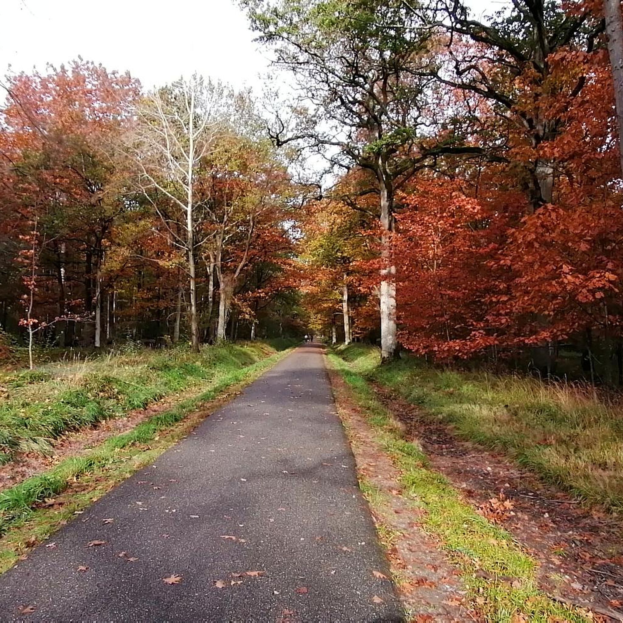
very pleasant, beautiful trees and pretty clearings for a break.
0
0

Complicated start and finish of the race (path difficult to navigate for road bikes, and traffic jam on VSG) Middle of the race rather pleasant with long straight and flat sections.
0
0

Lovely place for a bike ride.
0
0
The must-see is not located here but in the Sénart forest 2km away
0
1

Small forest straddling two departments, 77 and 91. It covers 1066ha. Highest point 98m and lowest point 85m.
0
0
Historic industrial site on the banks of the Seine, wonderfully quiet in the morning
1
0

The Church was completely rebuilt in the 19th century around the ruins of the 16th century choir. But a building was already present at this place in the 9th century.
0
0
Frequently Asked Questions
How many road cycling routes are available around Draveil?
There are over 640 road cycling routes around Draveil, offering a wide variety of options for different skill levels and preferences.
Are there easy or family-friendly road cycling routes in Draveil?
Yes, Draveil offers nearly 100 easy road cycling routes, making it suitable for beginners and families. These routes typically feature gentle terrain and shorter distances.
What kind of terrain can I expect on road cycling routes in Draveil?
Road cycling routes around Draveil are characterized by a landscape of river bends, state forests, and gently rolling terrain. Elevations are generally low, with most ascents qualifying as hills rather than significant climbs.
Are there challenging road cycling routes for experienced riders in Draveil?
While the region is known for its gentle terrain, there are around 45 more challenging routes for experienced riders. These may feature longer distances or slightly more varied elevation profiles.
What are some popular loop road cycling routes in Draveil?
Many routes in Draveil are loops. Popular options include the Bend of the Seine – Coudray Montceaux dam loop from Grand Bourg and the Sénart State Forest loop from Grand Bourg, both offering scenic circular rides.
What can I see along the road cycling routes in Draveil?
Road cycling routes often pass through the extensive Sénart State Forest and along the Seine river. You might also encounter natural highlights such as Rut Pond or the ancient Chêne d'Antin.
Where can I find parking or trailheads for road cycling in Draveil?
Many routes start from accessible points in and around Draveil, including towns like Grand Bourg, Juvisy-sur-Orge, and Ris-Orangis. Parking is generally available in these urban centers, often near public spaces or residential areas.
When is the best time of year for road cycling in Draveil?
The spring and autumn months generally offer the most pleasant conditions for road cycling in Draveil, with mild temperatures and beautiful scenery. Summer can also be enjoyable, though it can get warmer. Winter cycling is possible but requires appropriate gear for colder weather.
Are there any scenic viewpoints or natural monuments to discover?
Yes, the region features several natural monuments and scenic spots. You can visit the impressive Chêne des Bruyères or the Great Tree of Sénart. The Bièvre Basin Bird Observatory also offers a nice view for nature lovers.
What do other road cyclists enjoy most about road cycling in Draveil?
The area is highly rated by the komoot community, with an average score of 4.2 stars from over 400 reviews. Reviewers often praise the quiet routes through the Sénart State Forest, the picturesque river bends of the Seine, and the generally gentle, accessible terrain.
Are there any routes that explore the Bend of the Seine?
Absolutely. The Seine river plays a significant role in the region's landscape. A notable route is the Bend of the Seine – Coudray Montceaux dam loop from Ris-Orangis, which offers beautiful riverside views.
How long do road cycling routes in Draveil typically take to complete?
Route durations vary depending on distance and your pace. For example, the Bend of the Seine – Coudray Montceaux dam loop from Grand Bourg (52.1 km) typically takes around 2 hours 16 minutes, while the Sénart State Forest – Chêne d'Antin loop from Grand Bourg (34.8 km) can be completed in about 1 hour 33 minutes.
Most popular attractions around Draveil

Get inspired with the komoot mobile app


Explore more
Browse the best Road cycling routes in other regions.
