The best walks and hikes around Baignes
4.4
(258)
1,765
hikers
86
hikes
Hiking around Baignes offers routes through a landscape characterized by rolling hills and varied woodlands. The region features moderate elevation changes, with trails often leading through forested areas and past natural water sources. These routes provide opportunities to explore the local terrain, which includes a mix of open spaces and shaded paths.
Best hiking trails around Baignes
- The most popular hiking route is Camp Cesar loop from Haute-Saône, a 6.4 miles (10.2 km) trail that takes 2 hours 55…
Last updated: October 8, 2026
4.6
(5)
27
hikers
11.8km
03:18
230m
230m
Moderate hike. Good fitness required. Easily-accessible paths. Suitable for all skill levels.
4.6
(12)
29
hikers
5.22km
01:30
120m
120m
Easy hike. Great for any fitness level. Easily-accessible paths. Suitable for all skill levels.

5.0
(2)
25
hikers
10.6km
02:57
210m
210m
Moderate hike. Good fitness required. Easily-accessible paths. Suitable for all skill levels.
3.3
(3)
8
hikers
9.60km
02:35
120m
120m
Moderate hike. Good fitness required. Easily-accessible paths. Suitable for all skill levels.
4.7
(3)
9
hikers
5.31km
01:26
70m
70m
Easy hike. Great for any fitness level. Easily-accessible paths. Suitable for all skill levels.
Get access to more routes and recommendations from other explorers.
Already have an account?
Our route recommendations are based on thousands of hikes, rides, and runs completed by other people on komoot.
Start today with a free account
Your next adventure awaits.
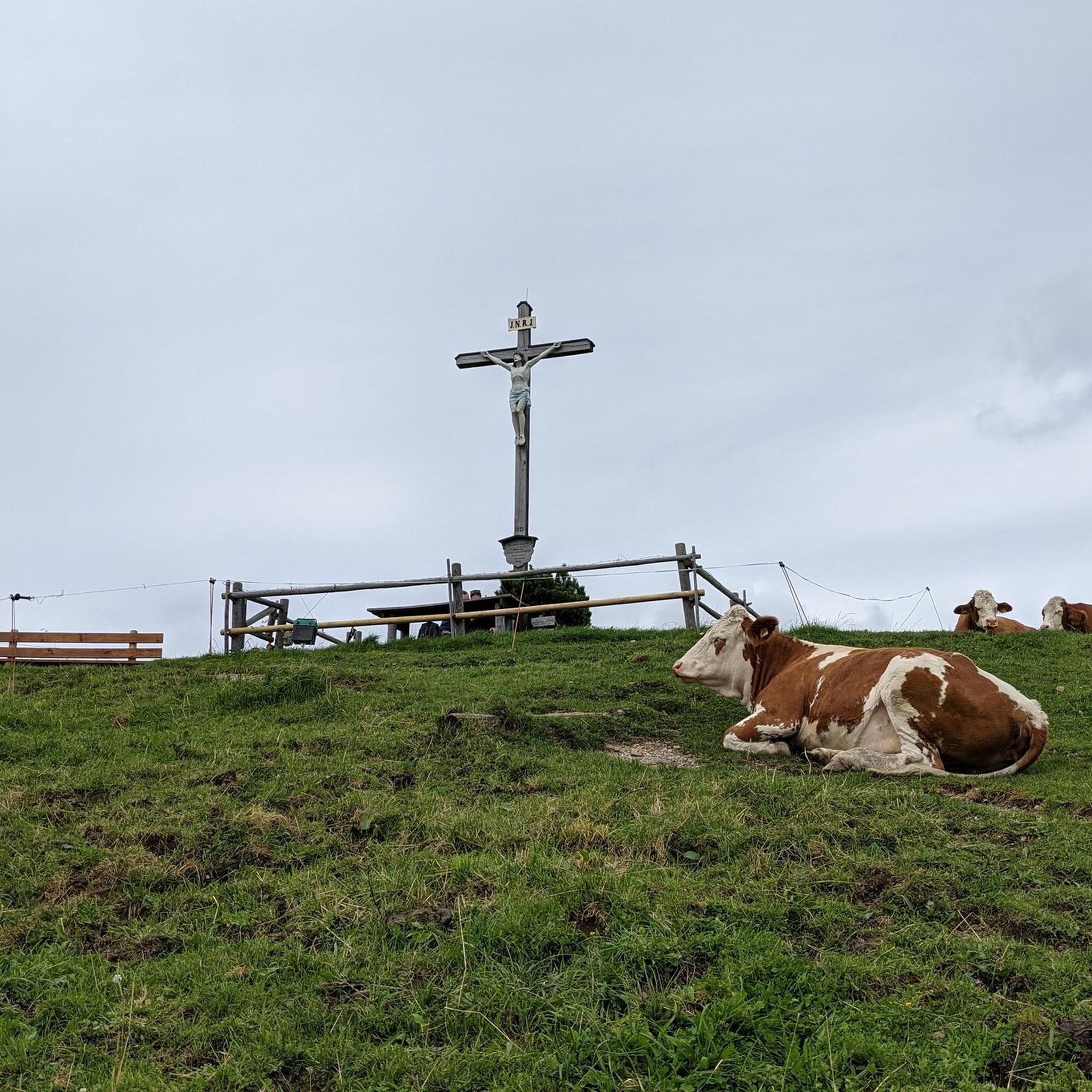

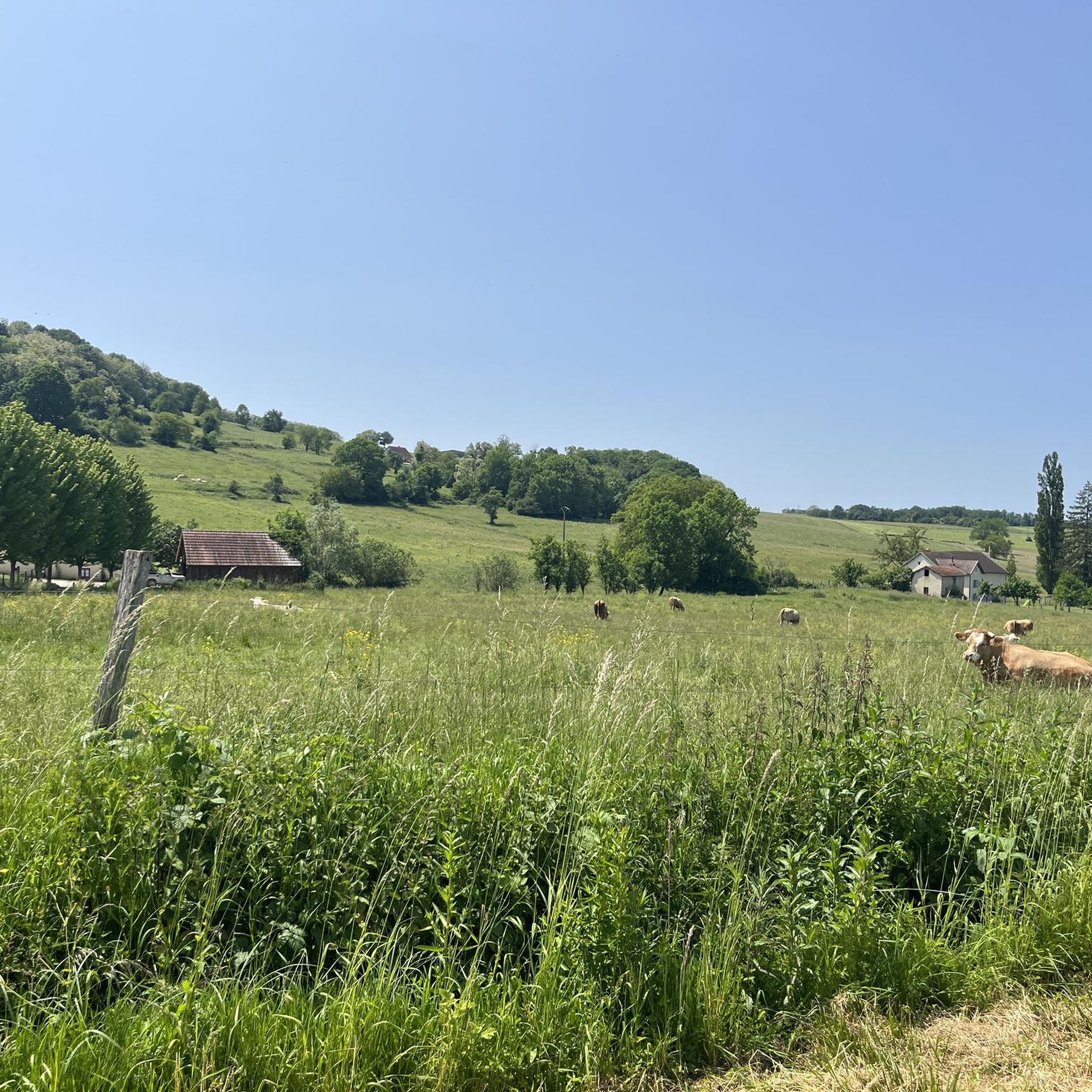
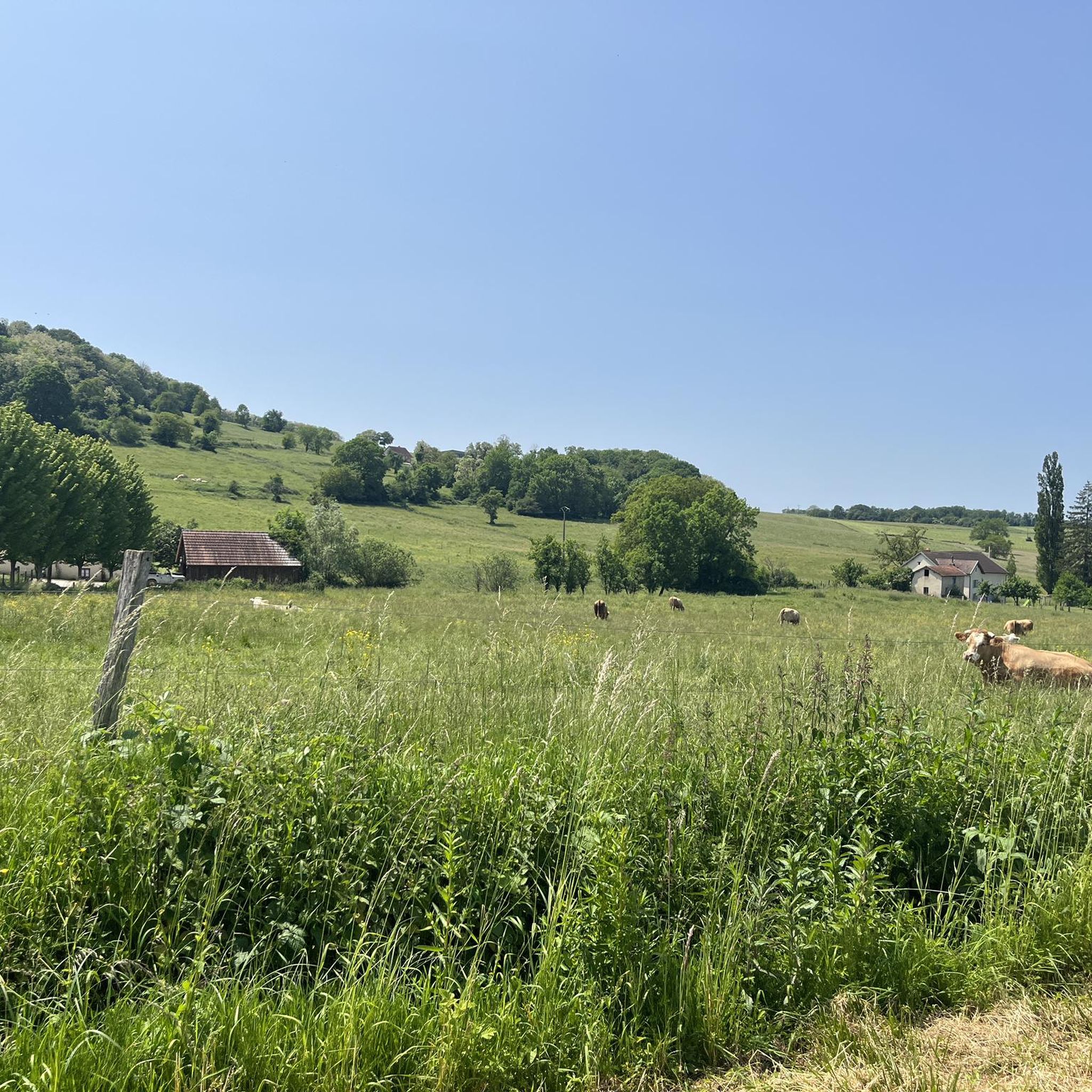

Tips from the Community


Great rock formations, an amazing view of Charrier and a wonderful nature reserve at the back
4
0
Frequently Asked Questions
How many hiking trails are available around Baignes?
There are over 70 hiking trails in the Baignes region, offering a wide range of options for different skill levels. The landscape is characterized by rolling hills and varied woodlands, providing diverse scenery for your walks.
Are there easy hiking trails suitable for beginners or families in Baignes?
Yes, Baignes offers 41 easy hiking routes, perfect for beginners or families looking for a relaxed outing. An example is the Camp Cesar loop from Chariez, which is 3.3 miles (5.2 km) long and takes about 1 hour 30 minutes to complete through forested sections and open countryside.
What kind of terrain can I expect on hikes in Baignes?
Hiking around Baignes features rolling hills, diverse woodlands, and natural water features. Trails often lead through a mix of open spaces and shaded paths, with moderate elevation changes, providing varied terrain for exploration.
Are there any circular hiking routes in Baignes?
Many of the trails in Baignes are circular, allowing you to start and end at the same point. A popular moderate circular route is the Camp Cesar loop from Haute-Saône, which covers 6.4 miles (10.2 km) and takes approximately 2 hours 55 minutes.
What do other hikers say about the trails in Baignes?
The hiking routes in Baignes are highly rated by the komoot community, with an average score of 4.5 stars from over 200 reviews. Hikers often praise the varied terrain, the natural beauty of the woodlands, and the well-maintained paths.
Are there any natural springs or water features to explore on the trails?
Yes, the region is known for its natural water sources. You can explore these on routes like the Source de la Baignoire loop from Andelarre, a moderate 7.3 miles (11.8 km) path that specifically explores natural springs and surrounding woodlands.
What are some interesting places to see near the hiking trails in Baignes?
While hiking in Baignes, you can discover several nearby attractions. These include the historic Saint-Albin Canal Tunnel, the scenic La Trace du Courlis Greenway, and the charming town of Vesoul. Each offers a unique point of interest to complement your outdoor adventure.
Are there any longer, more challenging hikes for experienced hikers?
While most routes are easy to moderate, there are options for longer hikes. For example, the Source de la Baignoire loop from Baignes is a moderate 10.5 km (6.5 miles) trail that offers a good challenge with varied elevation.
Can I find trails that lead through historical or cultural sites?
Some trails, like the Pierre Percée de Traves – Pirre Percée d'Aroz loop from Traves, may pass by local landmarks or areas with historical significance, such as ancient stone formations, offering a blend of nature and cultural exploration.
What is the best time of year to go hiking in Baignes?
The rolling hills and woodlands of Baignes are enjoyable throughout much of the year. Spring and autumn offer pleasant temperatures and vibrant scenery, while summer provides lush green landscapes. Even in winter, the moderate terrain can be suitable for hiking, though conditions may vary.
Are there any viewpoints along the hiking trails in Baignes?
While specific named viewpoints are not highlighted, the region's rolling hills and open countryside sections often provide expansive views over the surrounding landscape, especially from higher elevations along the trails.
Most popular attractions around Baignes

Get inspired with the komoot mobile app


Explore more
Browse the best Hikes in other regions.
