The best road cycling routes around Saint-Projet-De-Salers
4.4
(116)
3,772
riders
117
rides
Road cycling routes around Saint-Projet-De-Salers traverse a landscape shaped by ancient volcanic activity, offering challenging climbs and descents. The region is characterized by the Cantal mountains, featuring prominent peaks like Puy Mary and Plomb du Cantal, alongside numerous high-altitude passes. Cyclists encounter varied terrain, primarily paved roads, with significant elevation gains across the routes. This area provides a network of road cycling options within the Natural Regional Park of the Volcanoes.
Best road cycling routes around Saint-Projet-De-Salers
- The most popular…
Last updated: May 20, 2026
4.8
(12)
482
riders
72.7km
04:16
1,820m
1,820m
This difficult 45.1-mile road cycling loop around Puy Mary via Saint-Paul-de-Salers offers challenging climbs and panoramic volcanic views.
4.0
(1)
27
riders
143km
07:54
3,060m
3,060m
Hard road ride. Very good fitness required. Mostly well-paved surfaces and easy to ride.

Sign up for free
5.0
(2)
26
riders
74.4km
04:16
1,700m
1,700m
Hard road ride. Very good fitness required. Some segments of this route may be unpaved and difficult to ride.
4
riders
60.5km
03:17
1,160m
1,160m
Cycle the difficult 37.6-mile RBX Cantal Volcano Loop, gaining 3801 feet through spectacular volcanic landscapes.
5.0
(6)
278
riders
73.4km
03:59
1,510m
1,510m
Hard road ride. Very good fitness required. Mostly well-paved surfaces and easy to ride.
Get access to more routes and recommendations from other explorers.
Sign up for free
Already have an account?
Our route recommendations are based on thousands of hikes, rides, and runs completed by other people on komoot.
Start today with a free account
Your next adventure awaits.
Login or Signup
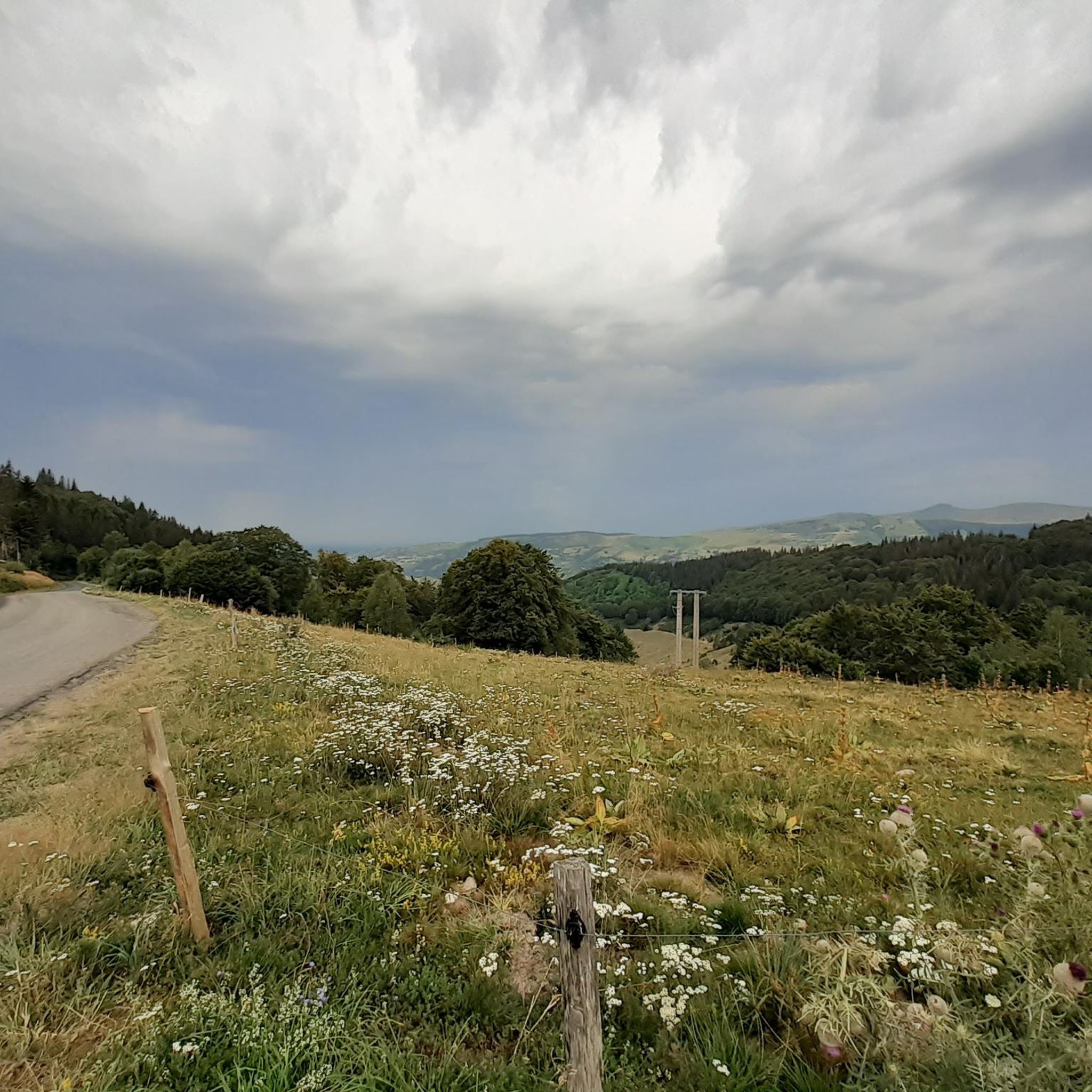
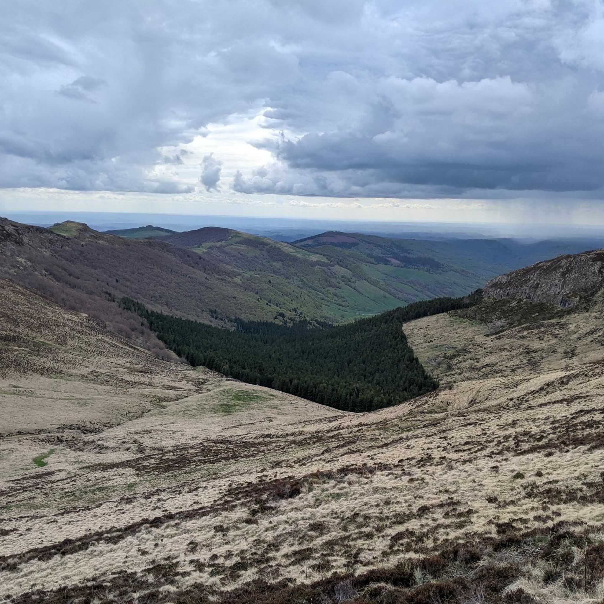
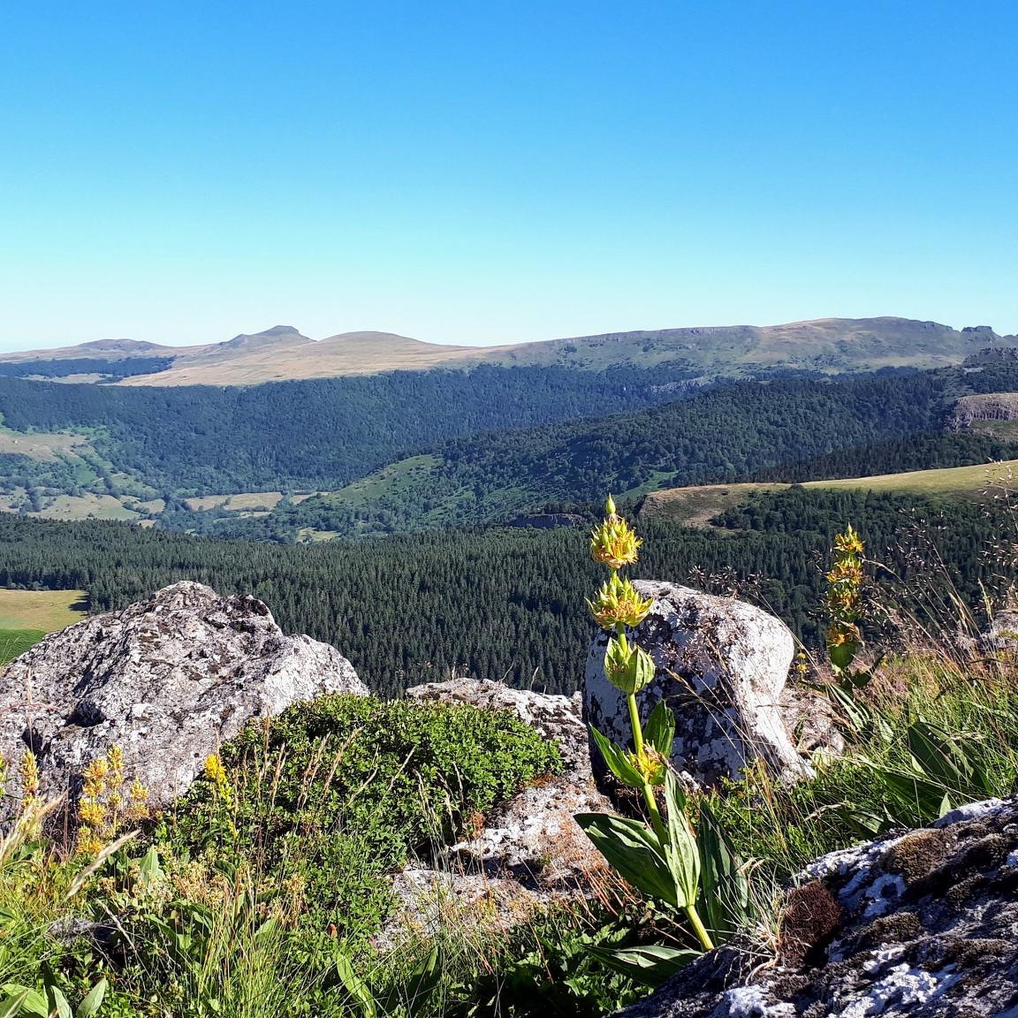
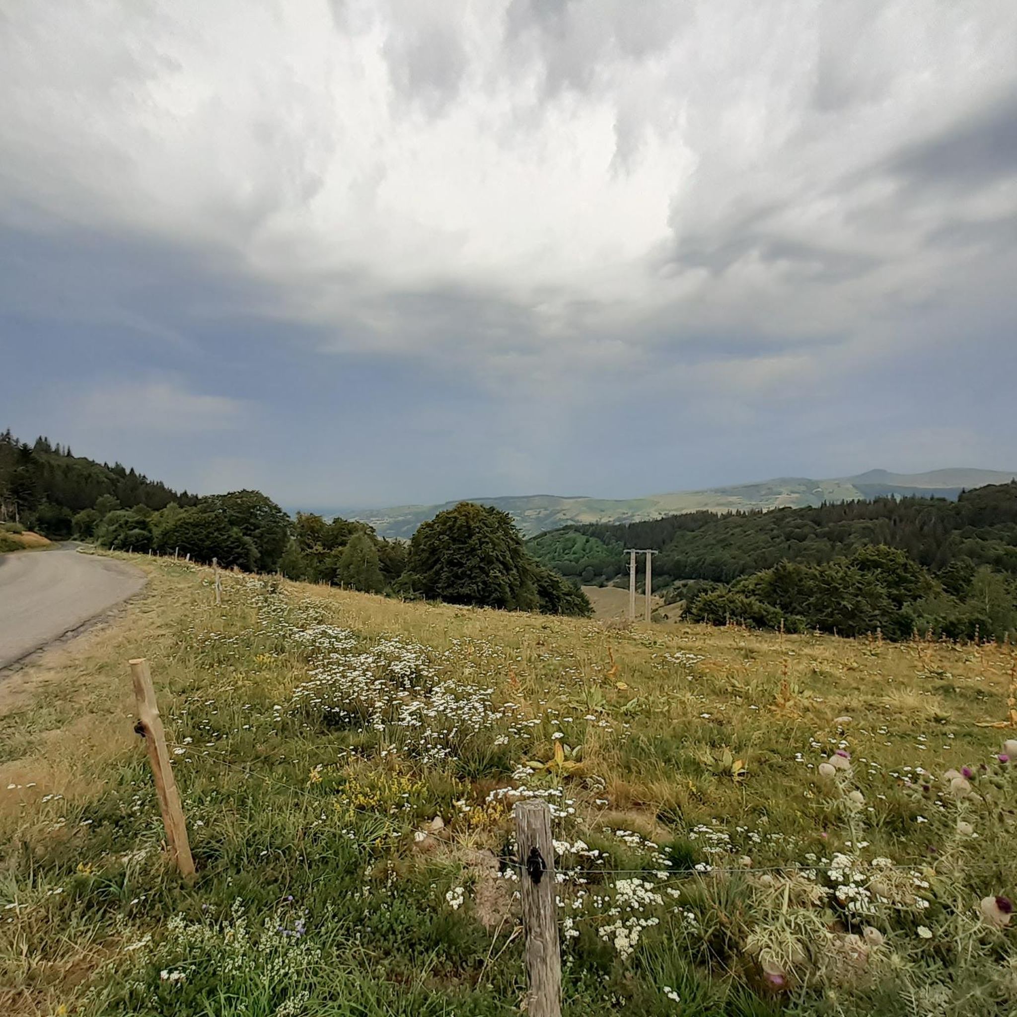

Tips from the Community

Either stressful or relaxed from Puy Mary.
0
0

Rain, visibility 1m, but otherwise great
0
0

Did it last week with the cycling friends. Splendor of a Col. 🤩
0
0

Salers is a municipality in the Cantal department in the Auvergne-Rhône-Alpes region. The town is a completely preserved small town from the Renaissance period, with private and public buildings, city walls, defensive towers and a church. It was included in the association of the most beautiful villages in France. Despite its small population of around 300 inhabitants, the town is a historical, cultural and agricultural center in the sparsely populated mountain region of the Monts du Cantal. Source: https://de.wikipedia.org/wiki/Salers
3
0

From Salers, a pass with low percentages but with a magnificent view of the Santoire valley.
0
0

Col de Légal, at an altitude of 1,231 meters, on the beautiful Route des Crêtes. It allows you to go from the Doire valley to the Bertrande valley, in the heart of the Pays de Salers. There you will find a small inn open all year round.
0
0

At an altitude of 1,588 meters, the Pas de Peyrol is located between the Puy Mary and the Puy de la Tourte. It is known to be the highest road pass in the Massif Central and is worth it, because the last few kilometers have high percentages. There you can admire Puy Mary which peaks at an altitude of 1,783 metres. It is one of the peaks of the Cantal mountains. It is easily recognizable with its pyramidal silhouette.
1
0
Frequently Asked Questions
How many road cycling routes are available around Saint-Projet-De-Salers?
There are over 100 road cycling routes in the Saint-Projet-De-Salers region, offering a wide range of options for various skill levels. This includes 5 easy routes, 55 moderate routes, and 56 difficult routes, ensuring there's something for every road cyclist.
What is the best time of year for road cycling in Saint-Projet-De-Salers?
The summer months, particularly July, are generally favorable for road cycling in Saint-Projet-De-Salers. The weather is typically mild and breezy, with temperatures ranging from 12-24°C, providing comfortable conditions for exploring the volcanic landscapes.
What are the typical difficulty levels for road cycling routes in this region?
Road cycling routes around Saint-Projet-De-Salers are known for their challenging nature due to the volcanic terrain and significant elevation gains. While there are some moderate options, a substantial number of routes are classified as difficult, requiring good fitness. For example, the Cantal Volcano Loop is a difficult 72.7 km trail with considerable climbing.
Are there any particularly long or challenging road cycling routes for experienced riders?
Yes, for experienced riders seeking a significant challenge, the region offers routes with substantial distances and elevation. A notable example is the Volcan du Cantal loop — Romain Bardet Experience - RBX, which spans 143.2 km and features over 3,000 meters of ascent, providing panoramic views of the Cantal volcano.
What kind of natural landmarks can I expect to see along the road cycling routes?
The region's volcanic past has created dramatic scenery. Along the routes, you can encounter prominent peaks like Puy Mary Summit, the remnant of Europe's largest volcano, and Plomb du Cantal, the highest peak in Cantal. You'll also traverse high mountain passes such as Pas de Peyrol Pass (1,589 m), known for its steep final kilometers and superb views.
Are there any cultural or historical attractions near the cycling routes?
Beyond the natural beauty, the region boasts charming villages and historical sites. The picturesque village of Salers, recognized as one of France's 'most beautiful villages,' is nearby. You can also find attractions like Tournemire, overlooked by the impressive Chateau d'Anjony, offering a glimpse into the area's rich heritage.
What do other road cyclists say about the routes in Saint-Projet-De-Salers?
The road cycling routes in Saint-Projet-De-Salers are highly regarded by the komoot community, with an average rating of 4.5 stars from over 100 reviews. Cyclists often praise the challenging climbs, breathtaking volcanic landscapes, and the variety of terrain available within the Natural Regional Park of the Volcanoes.
Are there family-friendly road cycling options in Saint-Projet-De-Salers?
While many routes are challenging, there are 5 easy road cycling routes available that could be suitable for families or those looking for a less strenuous ride. These routes typically feature gentler gradients and shorter distances, allowing for a more relaxed experience amidst the scenic surroundings.
Where can I find parking for road cycling in Saint-Projet-De-Salers?
Specific parking locations can vary depending on your chosen starting point. However, as Saint-Projet-De-Salers is a village and a hub for outdoor activities, you can typically find parking in or near the village center, or at designated trailheads for popular routes. It's advisable to check local signage upon arrival.
Are there any circular road cycling routes available?
Yes, many of the road cycling routes in the region are designed as loops, allowing you to start and finish in the same location. Examples include the Col de Pertus et Lac des Graves - loop, which takes you through mountain passes and past Lac des Graves, and the Salers – Col de Saint-Georges (954 m) loop from Mandailles.
Can I find places to eat and drink along the cycling routes?
The region features charming villages like Salers, which offer amenities such as cafes, pubs, and restaurants where cyclists can refuel. While some routes traverse more remote areas, planning your ride to pass through these villages will ensure access to refreshments and local cuisine.
Are there specific passes that are popular among road cyclists?
Absolutely. The Cantal mountains are famous for their challenging and scenic passes. Key passes include the Pas de Peyrol Pass (1,589 m), the highest road pass in the Massif Central, and the Neronne Pass. These passes often feature in routes like the 'Romain Bardet's tours' and offer incredible views.
Most popular routes around Saint-Projet-De-Salers
Most popular attractions around Saint-Projet-De-Salers

Get inspired with the komoot mobile app


Explore more
Browse the best Road cycling routes in other regions.
