The best road cycling routes around Naisey-Les-Granges
4.7
(89)
2,054
riders
180
rides
Road cycling around Naisey-Les-Granges features varied terrain within a combe of the first Jurassic plateau, with altitudes ranging from 429m to 734m. The region is characterized by rolling hills, dense forests, and river valleys, including the Doubs River. This topography provides diverse road cycling routes with varying gradients, from flatter sections along waterways to more challenging climbs. The landscape offers panoramic views and a mix of deciduous and coniferous woodlands.
Best road cycling routes around Naisey-Les-Granges
- The most popular road…
Last updated: May 14, 2026
5.0
(1)
28
riders
35.1km
01:35
350m
350m
Moderate road ride. Good fitness required. Some segments of this route may be unpaved and difficult to ride.
4.5
(2)
21
riders
48.8km
02:22
660m
660m
Moderate road ride. Good fitness required. Mostly well-paved surfaces and easy to ride.

Sign up for free
21
riders
50.8km
02:35
690m
690m
Moderate road ride. Good fitness required. Mostly well-paved surfaces and easy to ride.
3.0
(1)
19
riders
49.6km
02:13
440m
440m
Moderate road ride. Good fitness required. Mostly well-paved surfaces and easy to ride.
5.0
(3)
14
riders
31.2km
01:29
350m
350m
Moderate road ride. Good fitness required. Mostly well-paved surfaces and easy to ride.
Get access to more routes and recommendations from other explorers.
Sign up for free
Already have an account?
Our route recommendations are based on thousands of hikes, rides, and runs completed by other people on komoot.
Start today with a free account
Your next adventure awaits.
Login or Signup

Tips from the Community

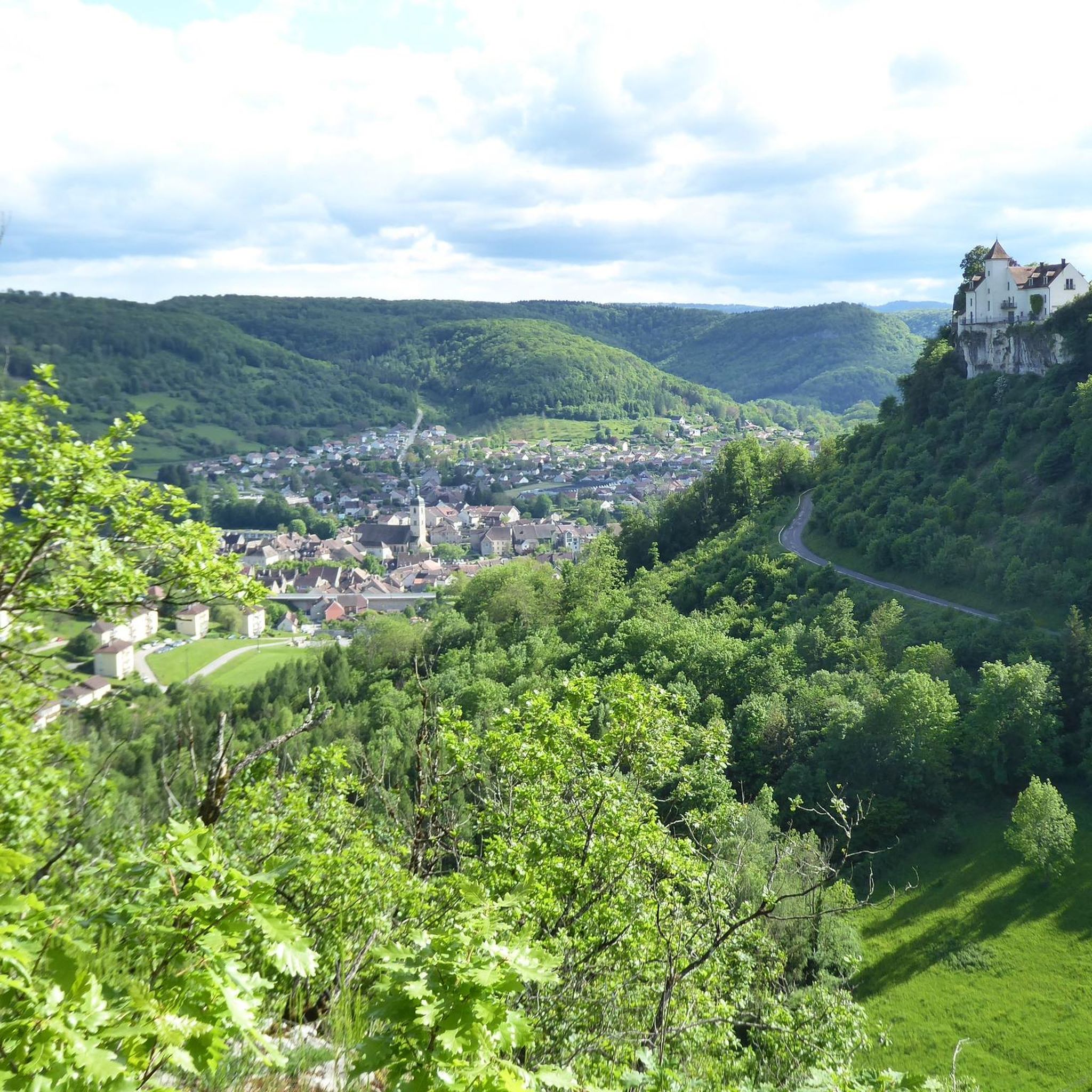
Imposing complex which is worth a visit.
0
0

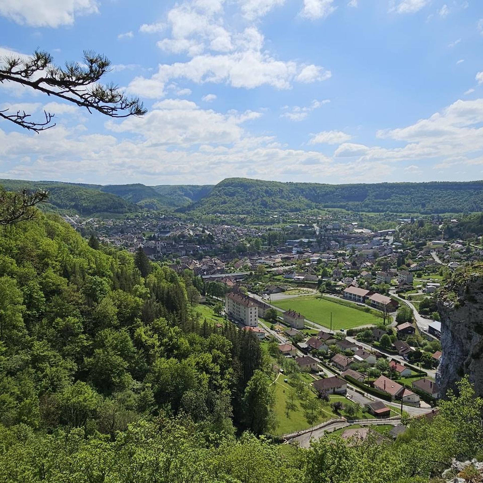
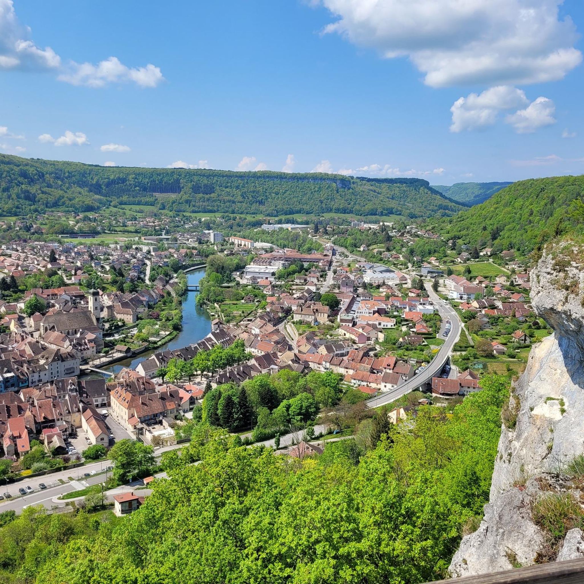
UNESCO World Heritage, what more can be said except that the Doubs Valley and the splendid ruins of old medieval castles from the top of wild cliffs have watched over the valley for centuries?
0
0

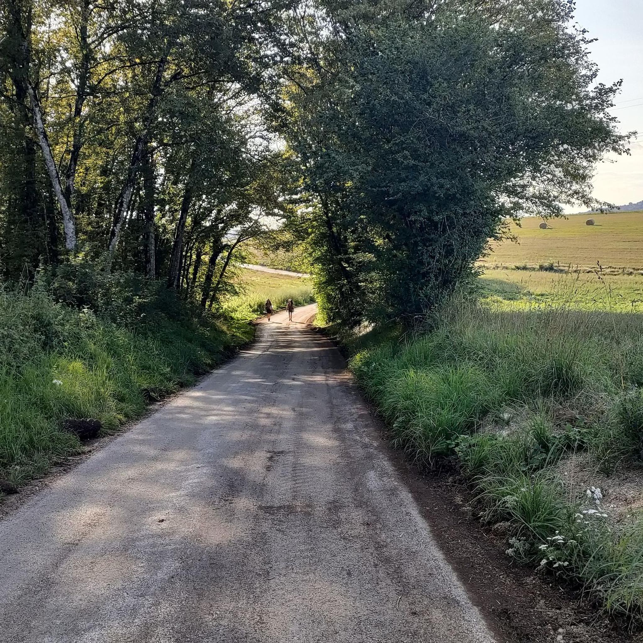
This Green Way is a pleasant gentle slope in the middle of the forest, with smooth asphalt
0
0


I have cycled this cycle path several times (different years) and each time I have passed these horrible looking factory ruins on the opposite bank - a very poor reception from Besançon - a real shame.
1
0

This chapel was built in 1863, following an apparition of the Virgin Mary on April 3, 1803. According to legend, a young girl found an old statue from the time of Louis 14 in the tree in front of which Mary appeared to her. This "holy oak" was felled a few decades after the apparition, and the statue now stands in the church. Below the chapel on the street, a bronze statue commemorates the place where the oak was and where the apparition is said to have taken place. Next to the chapel there is now a pilgrims' hostel that tells the story of the network of the Via Franzigena.
1
0

The Viaduc de la Brème (also known as the Viaduc de Bois Joli) is an impressive viaduct in the Bourgogne-Franche-Comte region. ie: The Viaduc de la Brème is located near the Château de la Malcôte and the Chapelle Notre-Dame-du-Chêne. It offers magnificent views of the surrounding landscape. This viaduct spans the Brême River and is part of a historic railway line. It is an architectural masterpiece that is both functional and aesthetic. It offers panoramic views of the natural beauty of the area.
7
0

Beautiful viewpoint
0
0
Frequently Asked Questions
How many road cycling routes are available around Naisey-Les-Granges?
There are nearly 180 road cycling routes around Naisey-Les-Granges, offering a wide range of options for different skill levels. This includes 18 easy routes, over 100 moderate routes, and more than 50 difficult routes for experienced cyclists.
What kind of terrain can I expect when road cycling in Naisey-Les-Granges?
The terrain around Naisey-Les-Granges is quite varied, situated within a combe of the first Jurassic plateau. You'll encounter rolling hills, dense forests, and river valleys, with altitudes ranging from 429m to 734m. This allows for routes with varying gradients, from flatter sections along waterways like the Doubs River to more challenging climbs up to viewpoints such as the Côte d'Anroz.
Are there any family-friendly road cycling routes in the Naisey-Les-Granges area?
While specific family-friendly road cycling routes are not explicitly detailed, the region's varied terrain includes flatter sections along river paths, such as the Towpath of the Rhine-Rhône Canal, which are generally suitable for less experienced riders or families. Look for routes categorized as 'easy' or 'moderate' on komoot for gentler gradients.
What are some scenic viewpoints accessible by road bike around Naisey-Les-Granges?
The region offers several rewarding viewpoints. The Montfaucon Viewpoint is a notable destination, providing spectacular vistas of the Doubs valley, the Citadel of Besançon, and the Jura mountains. On clear days, you might even catch a glimpse of the Mont-Blanc range. Routes like the Belvédère des Grateris loop from Naisey-les-Granges are designed to take you to such scenic spots.
What is the best time of year for road cycling in Naisey-Les-Granges?
The Comtois climate around Naisey-Les-Granges features warm summer temperatures, making the warmer months ideal for road cycling. While winters can be cold, spring and autumn also offer pleasant conditions with beautiful scenery as the foliage changes.
Are there any circular road cycling routes starting directly from Naisey-Les-Granges?
Yes, there are circular routes that start from or pass through Naisey-Les-Granges. An example is the Belvédère des Grateris loop from Naisey-les-Granges, a moderate 61.1 km route with over 600 meters of elevation gain, offering a good regional experience.
What historical or natural attractions can I visit along road cycling routes?
Many routes incorporate or pass near interesting sites. You can cycle along the scenic Doubs River, visit the historic Deluz Lock, or explore the Arcier Springs, a Natura 2000 site known for its karstic sources and waterfalls. The Cycle path along the Doubs – Citadel of Besançon loop from Mamirolle even passes by the historic Citadel of Besançon.
What do other road cyclists say about the routes in Naisey-Les-Granges?
The road cycling routes in Naisey-Les-Granges are highly regarded by the komoot community, with an average rating of 4.7 stars from over 100 reviews. Cyclists often praise the varied terrain, the scenic beauty of the forests and river valleys, and the rewarding panoramic views after climbs.
Are there any routes that follow river paths or canals for a flatter ride?
Yes, the region offers routes that follow waterways, providing a more gentle cycling experience. The Towpath of the Rhine-Rhône Canal, which runs along the Doubs River, is particularly noted for its scenic and vegetated path, ideal for a relaxed ride. The Old railway bridge – Cycling bridge over the Loue loop from Mamirolle also offers scenic views along river crossings.
What is the longest and most challenging road cycling route in the area?
One of the most challenging routes is the Cycle path along the Doubs – Citadel of Besançon loop from Mamirolle. This difficult route spans 183.8 km (114.2 miles) and features over 1600 meters of elevation gain, taking approximately 8 hours to complete. It follows the Doubs River and passes the historic Citadel of Besançon.
Can I find moderate length road cycling loops around Naisey-Les-Granges?
Absolutely. Many routes fall into the moderate category, offering a good balance of distance and elevation. For example, the Roadbike loop from Nancray is a moderate 49.6 km (30.8 miles) route with around 430 meters of elevation gain, typically completed in just over 2 hours. Another option is the Roadbike loop from Mamirolle, a 31.2 km route with about 348 meters of climbing.
Most popular routes around Naisey-Les-Granges
Most popular attractions around Naisey-Les-Granges

Get inspired with the komoot mobile app


Explore more
Browse the best Road cycling routes in other regions.
