The best running trails around Picherande
4.6
(81)
7,560
runners
13
runs
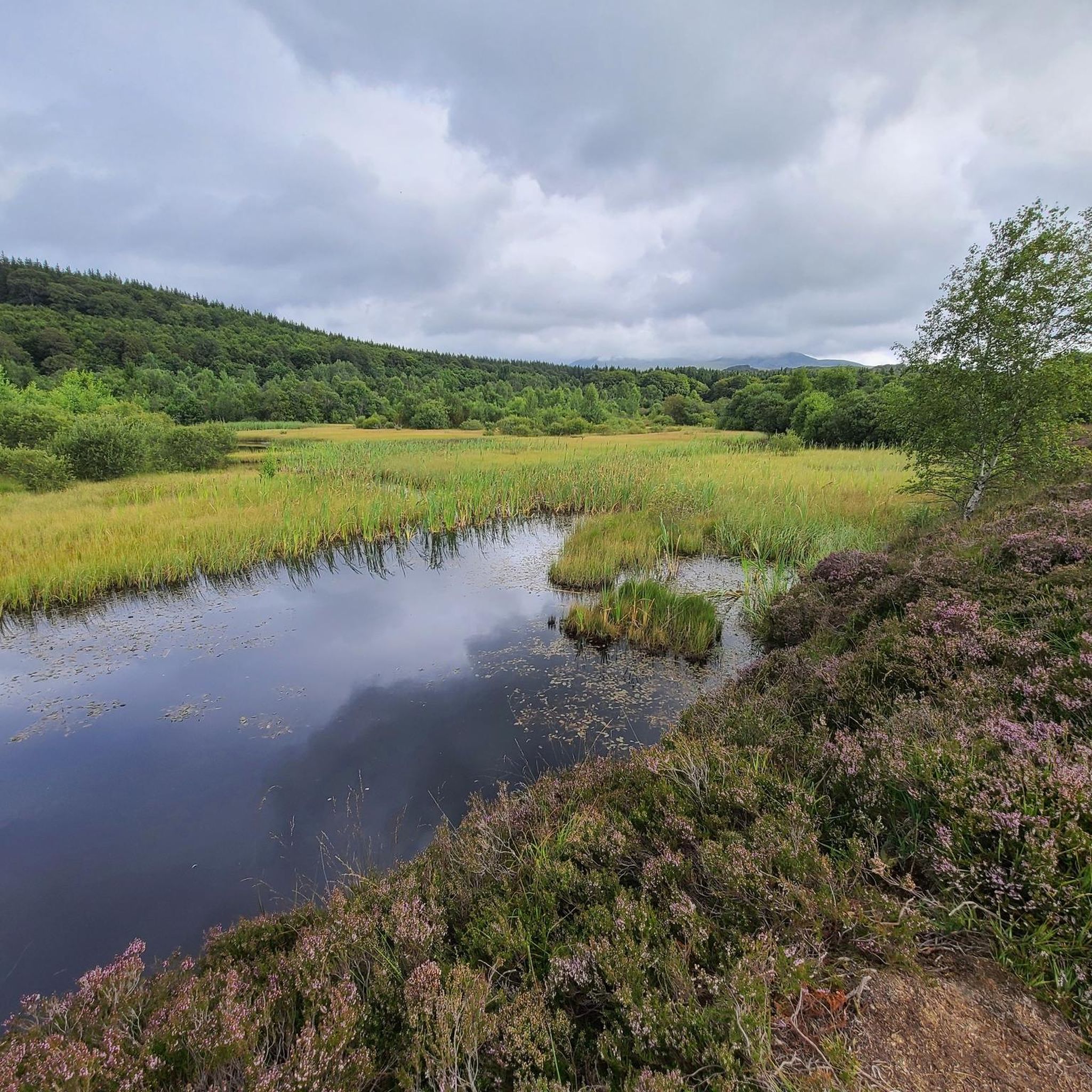
Jogging around Picherande offers diverse terrain within the Massif du Sancy and the Regional Natural Park of Auvergne Volcanoes. The region is characterized by volcanic lakes such as Lac Chauvet, significant waterfalls like Barthe Waterfall, and the glacial La Fontaine Salée Valley. Runners can explore varied landscapes including peat bogs, dense forests, and routes leading towards the majestic Massif du Sancy. This topography provides options for different fitness levels, from gentler paths to more challenging ascents.
Best jogging routes around…
Last updated: October 2, 2026
12
runners
6.87km
00:50
130m
130m
Moderate run. Good fitness required. Mostly paved surfaces. Suitable for all skill levels.
12
runners
22.2km
03:04
810m
810m
Hard run. Very good fitness required. Sure-footedness, sturdy shoes and alpine experience required.

5.0
(1)
7
runners
6.65km
00:43
80m
80m
Moderate run. Good fitness required. Mostly paved surfaces. Suitable for all skill levels.
5.0
(1)
12
runners
9.16km
00:59
150m
150m
Moderate run. Good fitness required. Mostly paved surfaces. Suitable for all skill levels.
6
runners
13.3km
01:29
280m
280m
Moderate run. Good fitness required. Mostly paved surfaces. Suitable for all skill levels.
Get access to more routes and recommendations from other explorers.
Already have an account?
Our route recommendations are based on thousands of hikes, rides, and runs completed by other people on komoot.
Start today with a free account
Your next adventure awaits.
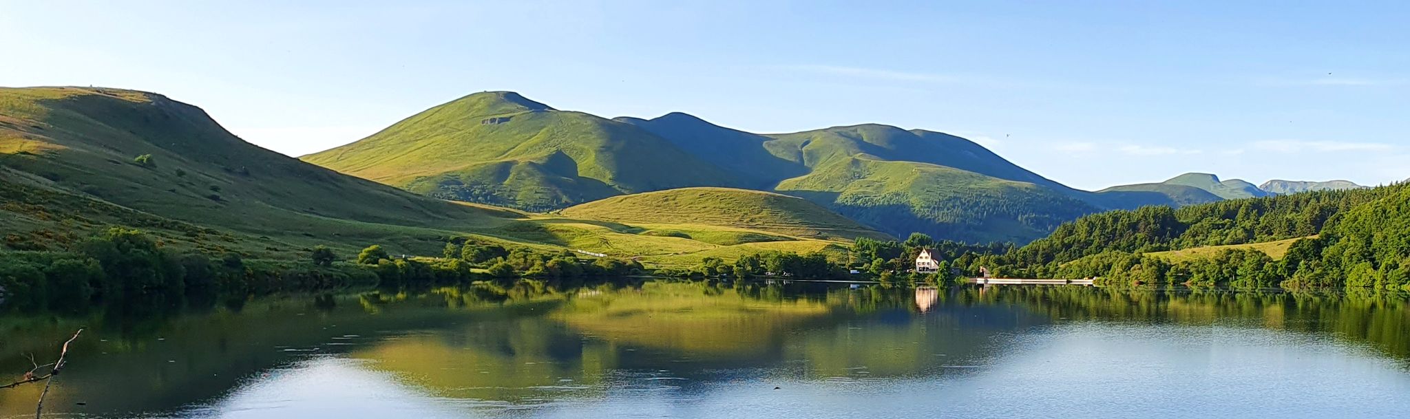
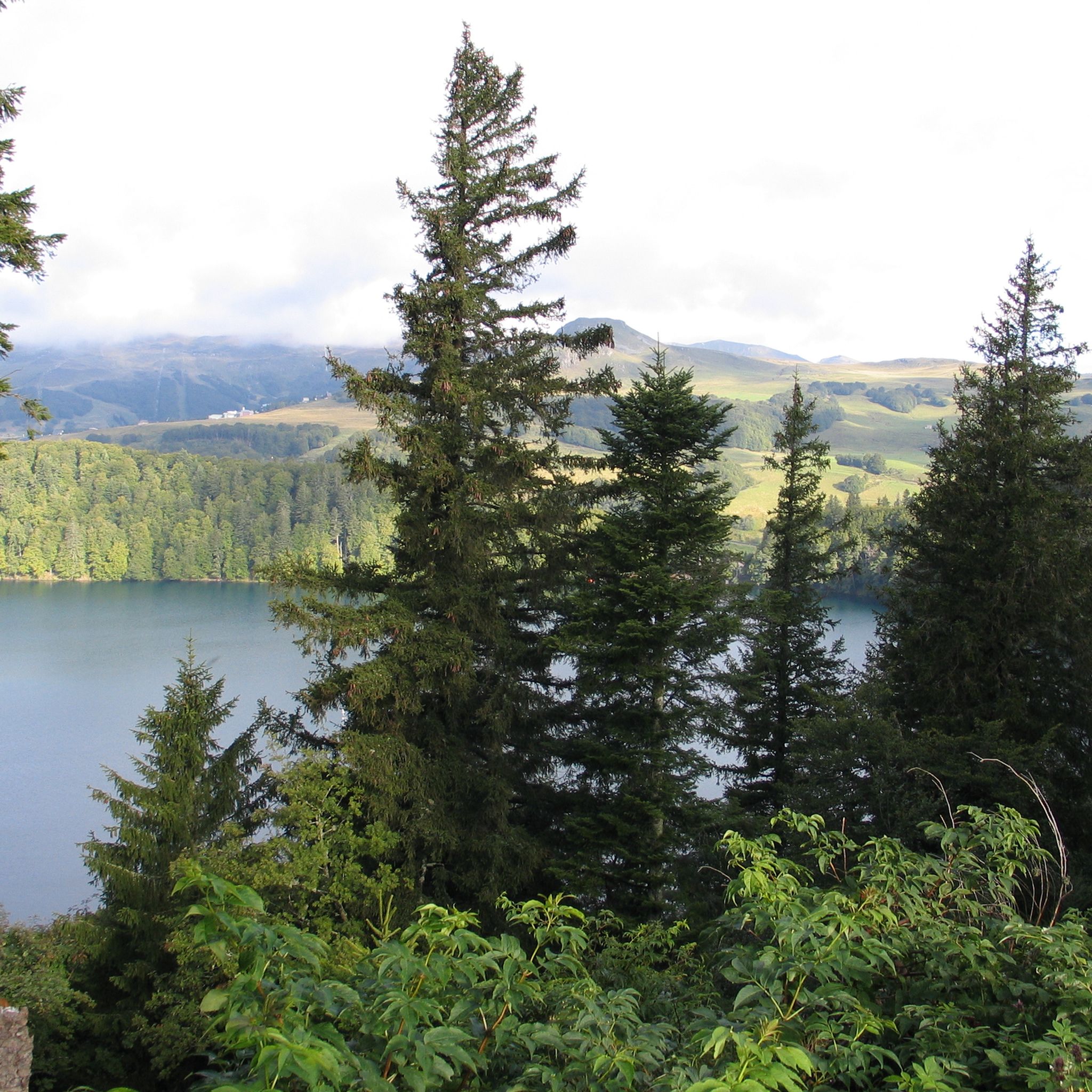
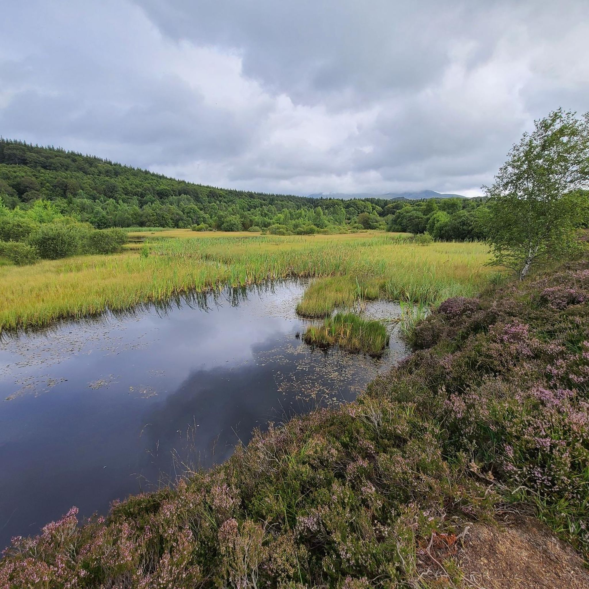


Other adventures around Picherande

Tips from the Community


Les Ages and the communal road of Fricaudie offer different views of the Sancy massif.
0
0

Located at 1,886 meters above sea level, the Puy de Sancy is the highest point of the Massif Central but also of Auvergne. Considered the king of the Monts Dore, this stratovolcano is 300,000 years old. At the top the panorama of the surroundings is magnificent, on a clear day it is even possible to see Mont Blanc!
1
0

I rode Gravel, but not ideal, prefer hiking.
1
0

Magnificent little lake where François Mitterrand went every year to taste the truffade.
0
0

In one of my old hiking diaries, I wrote about Lac Chauvet: “At the end of the afternoon, my feet soak in the soft and cool waters of Lac Chauvet. Impressive in its strict circularity, the lake is the culmination of a maar; in other words, the meeting underground of a magma and a water table. As a good soloist, I try to observe the rare movements of the lake which could betray the presence of fish. According to the signs planted near the one and only pontoon of the body of water, trout, carp and even salmon would have taken up residence there”.
1
2
Because its 1,886 meters of altitude project it onto the roof of Auvergne, the Puy de Sancy is considered the king of the Monts Dore. 300,000 years old when its neighbors in Cantal are 20 million years old, this stratovolcano has experienced relentless erosion. As a result, its flanks are notched and the circuses that surround it overflow with majesty. On the neighboring ridges, you can make out jagged rocks in the middle of grassy slopes. Finally, when the sky is proudly clear, Mont Blanc stands out in the distance... After its tough ascent, take the time to get drunk on this geological giant.
7
2
Different points of view accessible on the Sancy massif
0
0
Frequently Asked Questions
How many running routes are available in Picherande?
Picherande offers a wide variety of running routes, with over 290 trails available for exploration. These routes cater to different fitness levels, ranging from easy strolls to challenging mountain runs.
Are there easy running trails suitable for beginners in Picherande?
Yes, Picherande has several easy running trails perfect for beginners or those looking for a relaxed jog. There are 8 easy routes, often traversing forests or circling lakes. For example, the Bois de Gayme loop from La Montagne de Picherande is a moderate 3.0-mile (4.8 km) trail that is relatively flat and takes you through pleasant woodlands.
Can I find challenging running routes in the Picherande area?
Absolutely. For experienced runners seeking a challenge, Picherande, situated within the Massif du Sancy, offers 147 difficult routes with significant elevation gains. A prime example is the Puy de Sancy – Puy de Sancy loop from Chapelle Notre-Dame de Vassivière, a 15.5 km route with over 600 meters of ascent, leading towards the highest peak of the Massif Central.
What natural attractions can I see while jogging around Picherande?
Jogging in Picherande allows you to experience diverse natural beauty. Many routes feature volcanic lakes like Lac Chauvet, which you can circle on the Lac Chauvet loop from Parc naturel régional des Volcans d'Auvergne. You might also encounter waterfalls such as the Barthe Waterfall, or enjoy views of the majestic Puy de Sancy and the glacial La Fontaine Salée Valley.
Are there any circular running routes in Picherande?
Yes, many of the running routes in Picherande are circular, allowing you to start and end at the same point without retracing your steps. Popular options include the Lac Chauvet loop and the Bois de Gayme loop, both offering scenic round trips.
Are dogs allowed on the running trails in Picherande?
Picherande is generally dog-friendly, and many trails within the Regional Natural Park of Auvergne Volcanoes welcome dogs, especially if kept on a leash to protect local wildlife and livestock. It's always a good idea to check specific trail regulations or local signage before heading out with your canine companion.
Are there family-friendly jogging routes in Picherande?
Yes, Picherande offers several family-friendly jogging routes. These are typically shorter, have less elevation gain, and pass through pleasant, accessible areas like forests or around lakes. The paths around Gayme Lake or shorter sections of the Lac Chauvet trails are often suitable for families.
What is the best time of year to go running in Picherande?
The summer months are ideal for running in Picherande, with pleasant temperatures and well-maintained paths. Spring and autumn also offer beautiful scenery with changing foliage, though some higher elevation trails might have variable conditions. Winter running is possible, but trails can be snowy or icy, requiring appropriate gear and caution.
What do other runners say about the trails in Picherande?
The running routes in Picherande are highly regarded by the komoot community, boasting an average rating of 4.6 stars from over 60 reviews. Runners frequently praise the diverse terrain, stunning volcanic landscapes, and the well-maintained paths that offer options for all skill levels.
Are there running routes that pass by waterfalls in Picherande?
Yes, you can find running routes that incorporate beautiful waterfalls. The Barthe Waterfall is a significant natural attraction often included in local trail routes. Additionally, the famous Grande Cascade of Mont-Dore is also accessible from routes in the wider Picherande area, offering a spectacular sight.
Where can I find parking for the running trails in Picherande?
Many popular trailheads in and around Picherande offer designated parking areas. For routes like those around Lac Chauvet or leading to the Massif du Sancy, you'll typically find parking available at key access points or nearby villages. Local tourist offices can also provide detailed maps and parking information.
Are there any long-distance running options around Picherande?
Picherande is an excellent base for longer runs, especially for trail runners. The extensive network of trails within the Massif du Sancy and the Regional Natural Park of Auvergne Volcanoes allows for combining multiple sections to create longer distances. For example, the Merdençon Refuge – Vallée de la Fontaine Salée loop is a moderate 8.4 km route that can be extended by connecting to other trails in the valley.
Most popular routes around Picherande
Most popular attractions around Picherande

Get inspired with the komoot mobile app


Explore more
Browse the best Running Trails & Routes in other regions.
