The best walks and hikes around Aiglepierre
4.4
(1279)
6,843
hikers
245
hikes
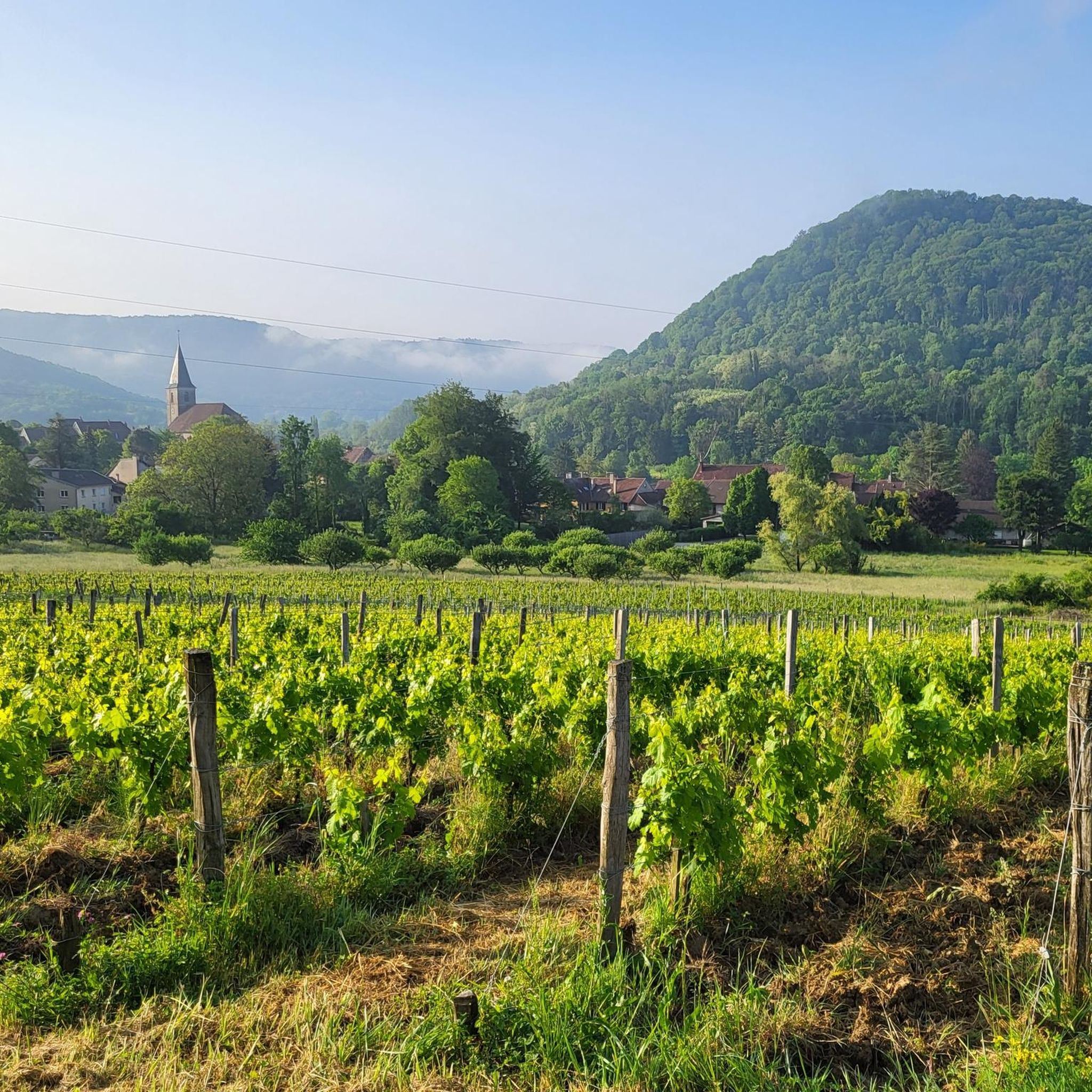
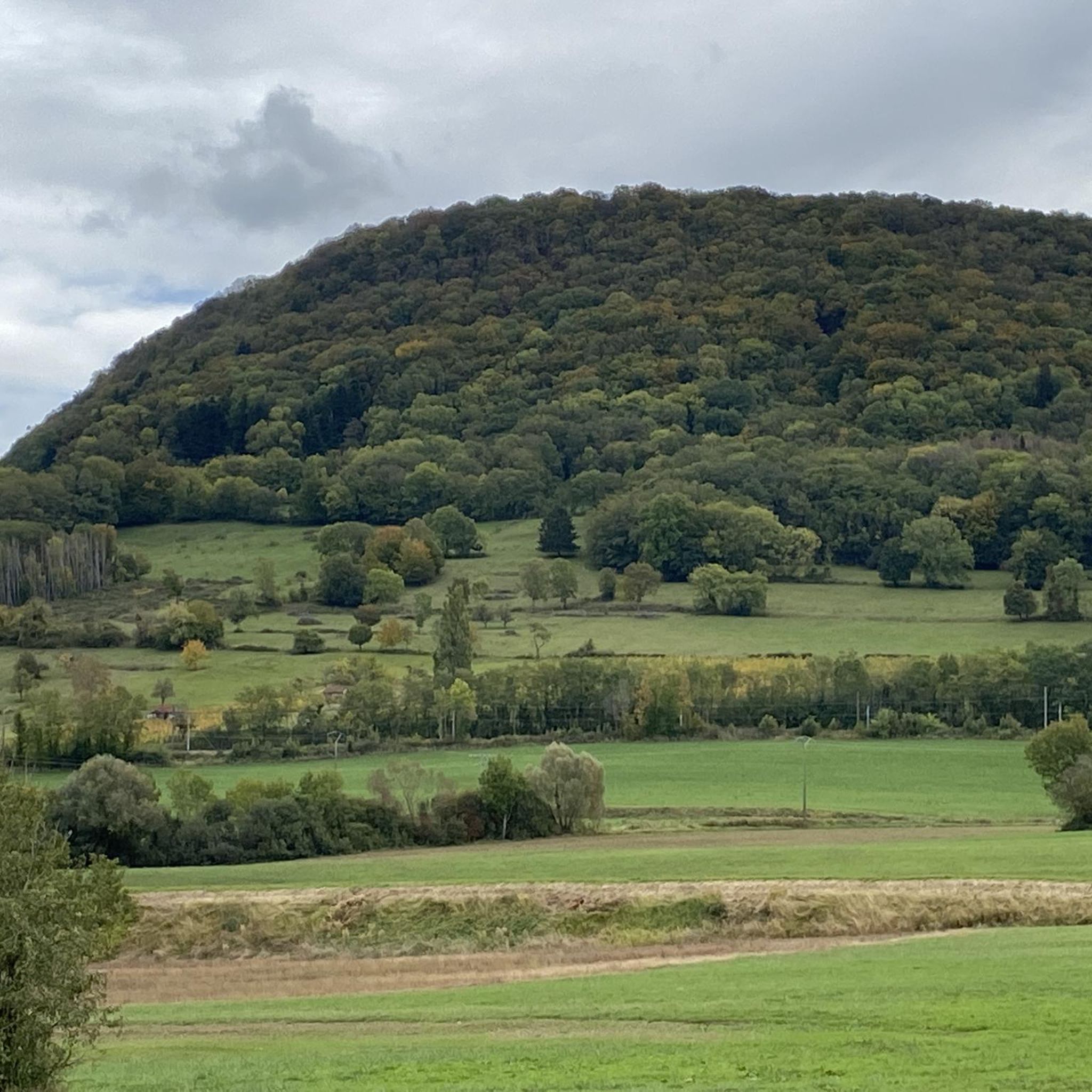
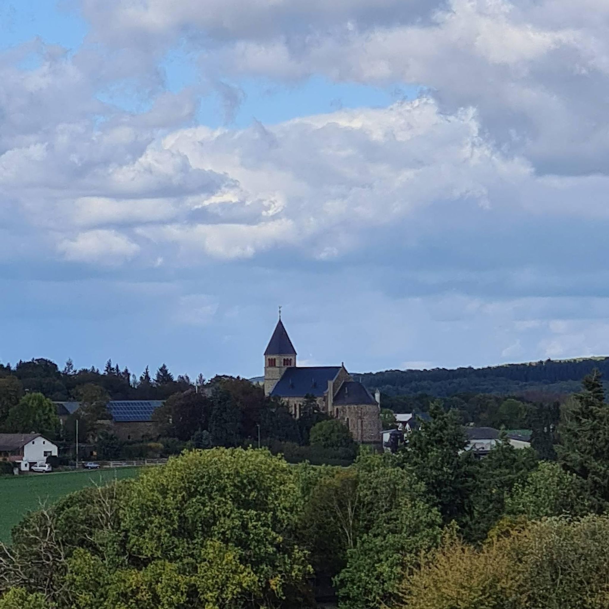
Hiking around Aiglepierre offers access to the diverse natural landscapes of the Jura department, situated at the foot of the Revermont. This region is characterized by its unique geological features, including varied terrain from plains to mountain foothills. Hikers can explore numerous lakes, impressive waterfalls, and dramatic gorges, alongside extensive wooded areas. The area provides a rich environment for outdoor activities, blending natural beauty with geological distinctiveness.
Best hiking trails around Aiglepierre
- The most popular hiking route is Château de…
Last updated: October 9, 2026
4.5
(4)
27
hikers
5.93km
01:46
180m
180m
Easy hike. Great for any fitness level. Easily-accessible paths. Suitable for all skill levels.
5.0
(1)
22
hikers
16.8km
04:47
390m
390m
Moderate hike. Good fitness required. Easily-accessible paths. Suitable for all skill levels.

4.7
(3)
13
hikers
22.2km
07:34
1,110m
1,110m
Hard hike. Very good fitness required. Easily-accessible paths. Suitable for all skill levels.
4.5
(4)
14
hikers
18.2km
05:30
550m
550m
Hard hike. Very good fitness required. Easily-accessible paths. Suitable for all skill levels.
5.0
(1)
17
hikers
13.6km
04:08
420m
420m
Moderate hike. Good fitness required. Easily-accessible paths. Suitable for all skill levels.
Get access to more routes and recommendations from other explorers.
Already have an account?
Our route recommendations are based on thousands of hikes, rides, and runs completed by other people on komoot.
Start today with a free account
Your next adventure awaits.


Tips from the Community

Center of Arbois around the Place da la Liberté with fountains, arcades and roundabout.
6
0
Old bridge Pont de Capucins over the Cuisance.
6
0
Pelican statue in front of the Église Saint Just with information panel about its significance.
6
0

After a long stretch of forest, the forest unexpectedly opens up to provide a launching point for paragliders, offering a clear view of the Jura region.
0
0
The community center with its blue shutters is located in the center of the small village of Pretin.
0
0

Each of these crosses, which the hiker often encounters in the fields or, as here, on the tops of the mountains, is a sign of remembrance of the crucifixion and resurrection of Jesus Christ. "Here on earth there is His memory, but in the Kingdom of Heaven there is His presence: this presence is the joy of those who have already attained salvation. The memory is our consolation, as we are still wanderers, travelling towards our homeland." (Bernard of Clairvaux)
0
1

Iconic 17th century chapel built following a vow made by the population to thank the Virgin Mary for protecting the inhabitants from epidemics and during the Thirty Years' War. It has an oval plan and is surmounted by a recently renovated dome with glazed roof tiles, a lantern tower and a bell tower. https://www.coeurdujura-tourisme.com/
1
0

ruins of a medieval castle built in the 13th century. At the top, a 360° view of the Chaux forest, Val d'Amour, Mont de Pretin, Forts Saint-André and Belin and Mont Poupet.
0
0
Frequently Asked Questions
How many hiking trails are available around Aiglepierre?
There are over 200 hiking routes around Aiglepierre, catering to various skill levels. You'll find a good mix, with about 90 easy, 107 moderate, and 22 difficult trails.
What kind of terrain can I expect on hikes near Aiglepierre?
The terrain around Aiglepierre is incredibly diverse, situated at the foot of the Revermont. You'll encounter everything from plains to mountain foothills, dramatic reculées (steephead valleys), dense forests like the Forêt de la Joux, and numerous lakes. The geological distinctiveness of the Jura department is a defining feature.
Are there any family-friendly hiking options in Aiglepierre?
Yes, Aiglepierre offers several easy routes suitable for families. For instance, the Château de Vaulgrenant loop from Pagnoz is an easy 3.7-mile (5.9 km) trail that takes less than two hours to complete, offering pleasant views of the local countryside.
Can I find hikes with waterfalls near Aiglepierre?
Absolutely. The region is known for its impressive waterfalls. You can explore the unique atmosphere of the Tuff Waterfalls, or venture further to discover the Cascade de la Billaude or the famous Hérisson Waterfalls, which are within reach of Aiglepierre.
Are there any circular hiking routes around Aiglepierre?
Many of the trails around Aiglepierre are designed as loops, allowing you to start and end in the same location. For a moderate option, consider the Hiking loop from Les Arsures, which covers about 6 miles (9.5 km) with scenic views.
What are the best viewpoints to discover on a hike?
Aiglepierre offers access to breathtaking vistas. The Fer à Cheval Viewpoint provides panoramic views of the Arbois reculée. For more expansive views, the Pic de l'Aigle (Eagle's Peak) and the Belvédère des Quatre Lacs are also notable destinations.
What do other hikers enjoy most about hiking in Aiglepierre?
The area is highly rated by the komoot community, with an average score of 4.3 stars from over 900 reviews. Hikers often praise the dramatic reculées, numerous lakes, and dense forests, highlighting the range of experiences from gentle strolls to challenging ascents.
Are there any long-distance hiking trails that pass through Aiglepierre?
Yes, Aiglepierre is part of the extensive Échappée Jurassienne, a major Franco-Swiss hiking route. This long-distance trail traverses the Jura massif, covering over 300 km within the Jura department and connecting plains to mountain heights.
What historical or cultural attractions can I visit while hiking near Aiglepierre?
Beyond natural beauty, Aiglepierre is near several heritage sites. You can incorporate visits to the UNESCO-listed Royal Saltworks of Arc-et-Senans or the historic salt mines of Salins-les-Bains into your excursions. There's also a local 'Pasteur road' between Aiglepierre and Marnoz, highlighting Louis Pasteur's connection to the area.
Are there any challenging hikes for experienced trekkers?
Yes, for experienced trekkers, there are several difficult routes. The Viewpoint over the Jura – Fort Saint-André loop from Marnoz is a challenging 13.8-mile (22.2 km) path leading to panoramic viewpoints over the Jura landscape. Another option is the Fort Saint-André – Salins-les-Bains loop from Marnoz, an 11.5-mile (18.5 km) trail through varied terrain.
What is the best time of year to go hiking in Aiglepierre?
The region around Aiglepierre is beautiful throughout the warmer months, from spring to autumn, when the lakes, waterfalls, and forests are at their most vibrant. Summer offers pleasant conditions for exploring, while autumn brings stunning foliage. Always check local weather conditions before heading out.
Are there any hikes that pass through towns or villages where I can stop for refreshments?
Yes, some routes connect to local settlements. For example, the Small bridge over the Cuisance – Arbois Town Centre loop from Les Arsures is a moderate 10-mile (16.1 km) hike that takes you towards Arbois, a charming town where you can find amenities and refreshments.
Most popular routes around Aiglepierre
Most popular attractions around Aiglepierre

Get inspired with the komoot mobile app


Explore more
Browse the best Hikes in other regions.
