The best walks and hikes around Chabestan
4.5
(338)
1,829
hikers
66
hikes
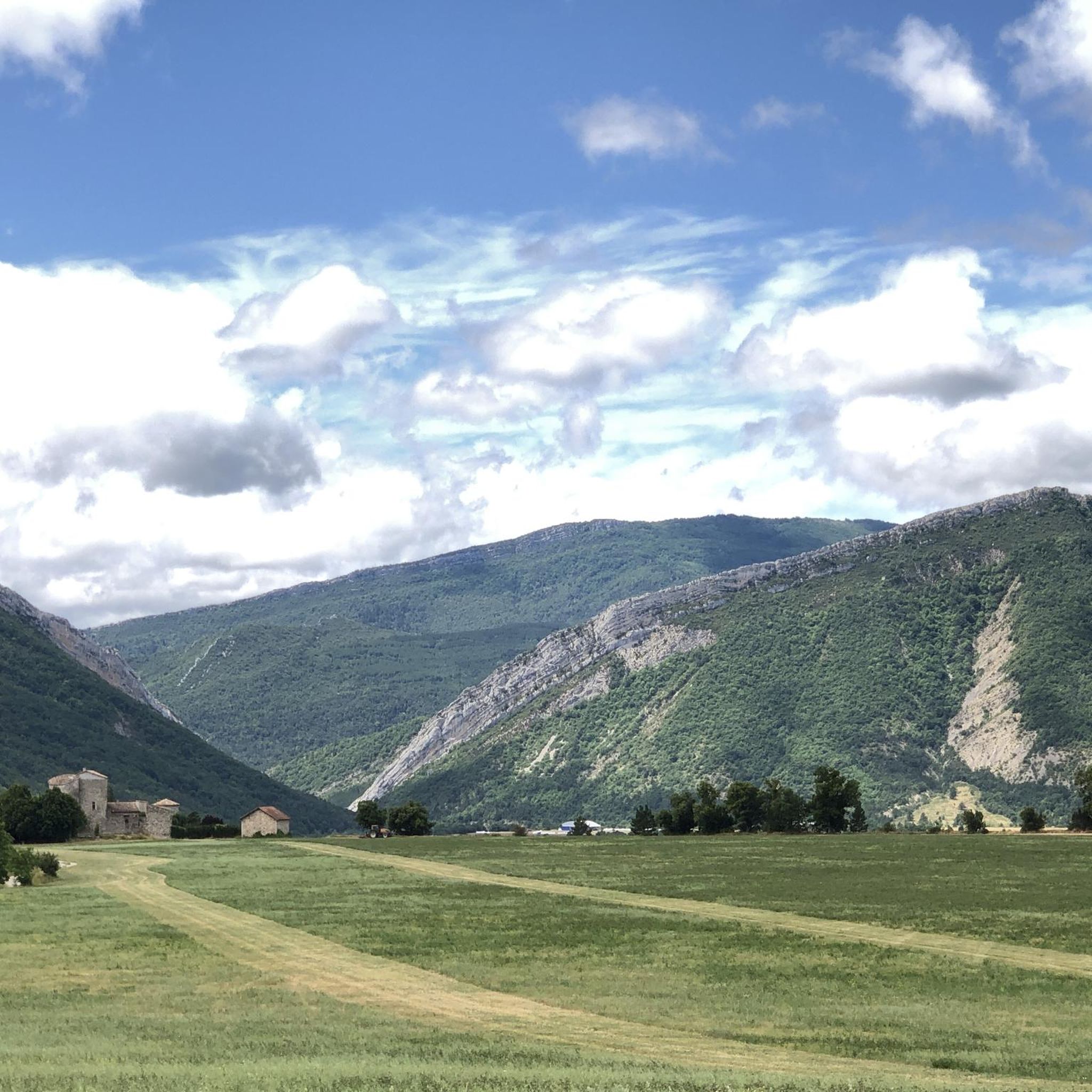
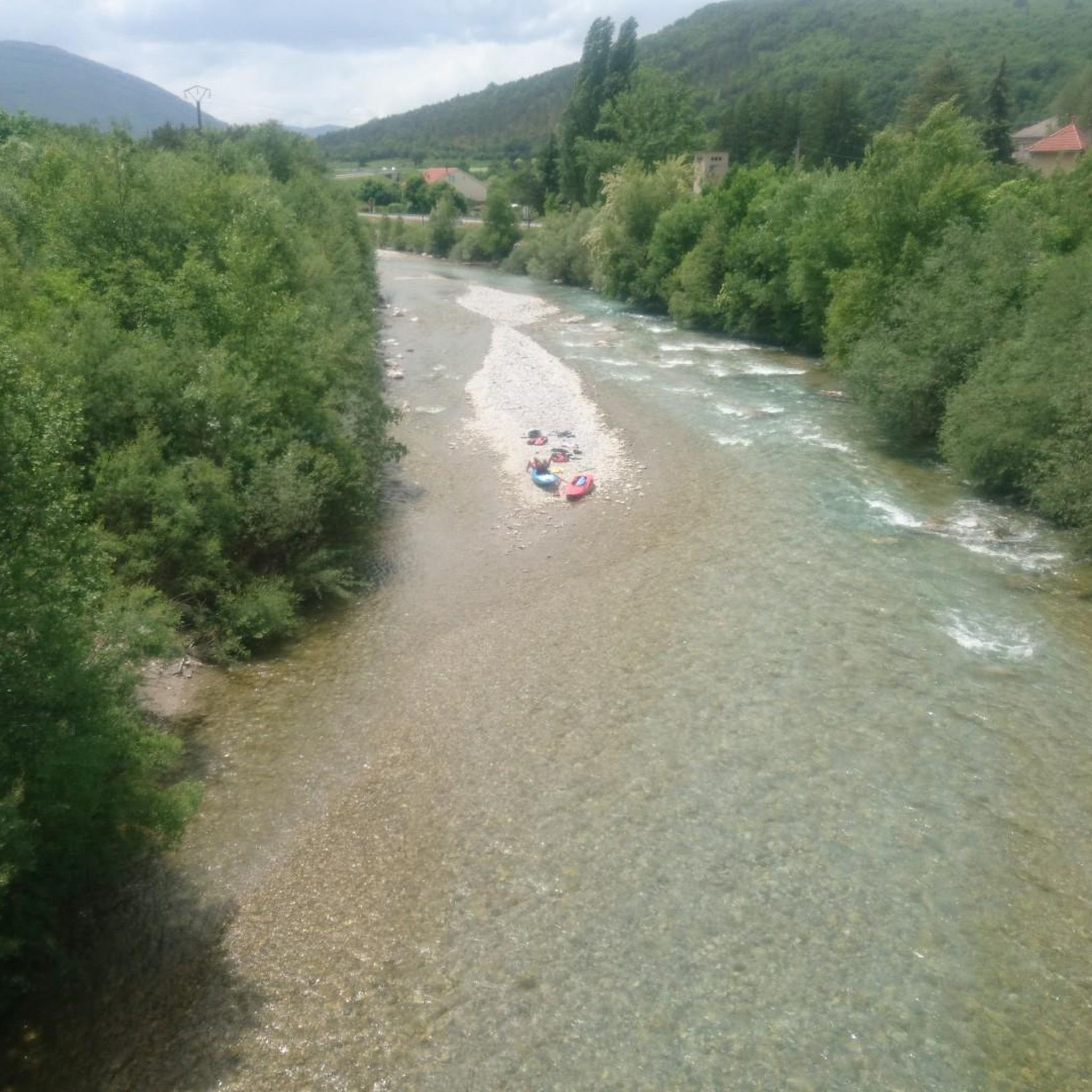
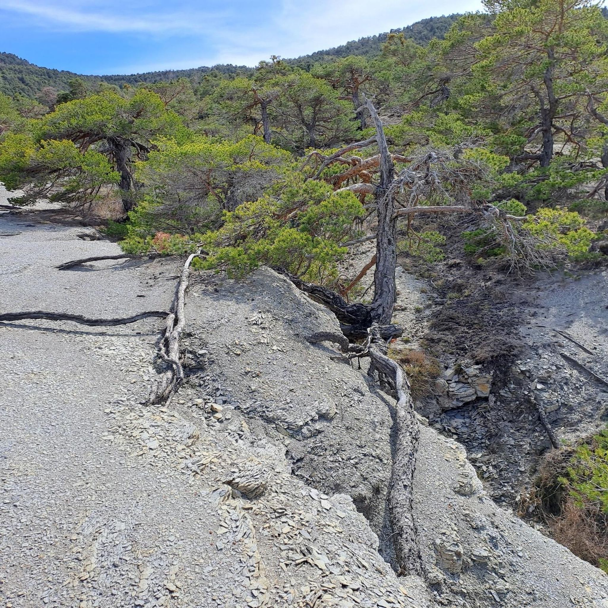
Hiking around Chabestan offers access to diverse mountainous landscapes within the Hautes-Alpes department of southeastern France. The region features elevations ranging from 715 to 1,360 meters, providing varied terrain for hiking. Hikers can explore larch forests, mountain meadows, and valleys traversed by waterways like the Petit Buëch torrent. The area's natural features include prominent peaks such as Roc de Longue Dent and offers views of the Southern French Alps.
Best hiking trails around Chabestan
- The most popular hiking route is…
Last updated: May 12, 2026
4.4
(28)
119
hikers
6.13km
01:48
180m
180m
Easy hike. Great for any fitness level. Easily-accessible paths. Suitable for all skill levels.
5.0
(7)
40
hikers
10.6km
03:29
500m
500m
Moderate hike. Good fitness required. Easily-accessible paths. Suitable for all skill levels.

Sign up for free
5.0
(2)
20
hikers
19.2km
06:02
750m
750m
Hard hike. Very good fitness required. Easily-accessible paths. Suitable for all skill levels.
5.0
(2)
14
hikers
10.9km
03:07
230m
230m
Moderate hike. Good fitness required. Easily-accessible paths. Suitable for all skill levels.
4.0
(5)
35
hikers
13.2km
04:57
810m
810m
Moderate hike. Good fitness required. Easily-accessible paths. Suitable for all skill levels.
Get access to more routes and recommendations from other explorers.
Sign up for free
Already have an account?
Our route recommendations are based on thousands of hikes, rides, and runs completed by other people on komoot.
Start today with a free account
Your next adventure awaits.
Login or Signup

Tips from the Community

Artificial lake of little interest. The prettiest part of the hike is at the bottom of the Gorges: that's great!
0
0


It is a narrow path along the other side of the lake.
0
0


mythical village to see absolutely
1
0

Hamlet of Saint Marcellin, full of charm, with its old church and its tiny streets.
1
0
Body of water in the Buëch plain, at the foot of the Bure mountain. Swimming allowed, many amenities, great spot for a break!
2
0

A pretty little artificial lake on the Montagne d’Aujour. A beautiful playground for mountain biking.
0
0
Frequently Asked Questions
What kind of terrain can I expect on hiking trails around Chabestan?
Chabestan is situated in a mountainous region, with elevations ranging from 715 to 1,360 meters. You'll find a diverse landscape featuring larch forests, open mountain meadows where herds graze, and valleys traversed by waterways like the Petit Buëch torrent. Trails vary from gentle paths to more challenging ascents, offering a rich mix of scenery.
Are there hiking trails suitable for beginners or families with children?
Yes, Chabestan offers a good selection of trails for all abilities. Among the over 60 routes available, 18 are classified as easy. An excellent option for a leisurely walk is the Nice place to cool off – View of Veynes loop from Oze, which is 6.1 km long and takes less than two hours to complete, offering scenic views.
What are some notable natural features or landmarks to look out for on hikes?
The region is rich in natural beauty and historical sites. You can spot the prominent peak of Roc de Longue Dent, explore picturesque valleys like Valgaudemar, and discover babbling waterfalls and clear mountain lakes. Historic sites such as Clausonne Abbey are also accessible via trails. Several mountain passes like Espréaux Pass and Col de Carabès offer stunning vistas.
Can I find circular hiking routes in Chabestan?
Yes, many of the trails around Chabestan are circular, allowing you to start and end at the same point. For example, the moderate Clausonne Abbey loop from Le Saix is a 10.6 km circular path, and the more challenging Clausonne Abbey – Pessier Lake loop from Le Saix is a 19.2 km circular route that takes you past a lake.
What is the best time of year to go hiking in Chabestan?
The Southern French Alps, where Chabestan is located, offer excellent hiking opportunities throughout much of the year. Spring and autumn provide pleasant temperatures and vibrant scenery, with rhododendron carpets in bloom or colorful larch forests. Summer is ideal for higher altitude trails, while winter can offer snowshoeing, though some trails may be inaccessible due to snow.
Are there opportunities for wildlife spotting while hiking?
Absolutely. The region boasts rich biodiversity. Hikers often have the chance to spot marmots, chamois, and ibex in the mountain areas. Keep an eye on the sky for golden eagles and bearded vultures, which are also native to this part of the Alps.
What do other hikers enjoy most about the trails in Chabestan?
The trails in Chabestan are highly regarded by the komoot community, with an average rating of 4.4 stars from over 330 reviews. Hikers frequently praise the diverse mountainous landscapes, the peaceful atmosphere of the larch forests and mountain meadows, and the variety of routes suitable for different fitness levels.
How long are the hiking trails in Chabestan typically?
Trail lengths vary significantly to suit different preferences. You can find shorter, easy walks like the 6.1 km Nice place to cool off – View of Veynes loop from Oze, which takes under two hours. Moderate routes, such as the Iscles Pond – Nice place to cool off loop from Oze, are around 10.9 km. For longer adventures, there are difficult trails like the 19.2 km Clausonne Abbey – Pessier Lake loop from Le Saix, which can take up to six hours.
Are there any challenging hikes for experienced trekkers?
Yes, for experienced hikers seeking a challenge, Chabestan offers several difficult routes. The Clausonne Abbey – Pessier Lake loop from Le Saix is a demanding 19.2 km trail with significant elevation gain, often taking around 6 hours to complete. There are 8 difficult routes in total, providing ample opportunities for strenuous ascents and rewarding views.
What are the options for parking when accessing hiking trails?
As a rural commune, Chabestan and its surrounding villages typically offer local parking options near trailheads. While specific parking facilities are not detailed, it's common to find designated areas or roadside parking in smaller villages like Oze or Le Saix, which serve as starting points for many routes.
Is Chabestan close to any major natural parks?
Chabestan's location in the Provence-Alpes-Côte d'Azur region provides excellent access to several natural parks. Notably, it is close to Écrins National Park, one of France's four national parks in the region, which features majestic peaks reaching nearly 3500 meters and an extensive network of trails.
Most popular routes around Chabestan
Most popular attractions around Chabestan

Get inspired with the komoot mobile app


Explore more
Browse the best Hikes in other regions.
