The best walks and hikes around Badendorf
4.5
(4772)
24,342
hikers
14
hikes
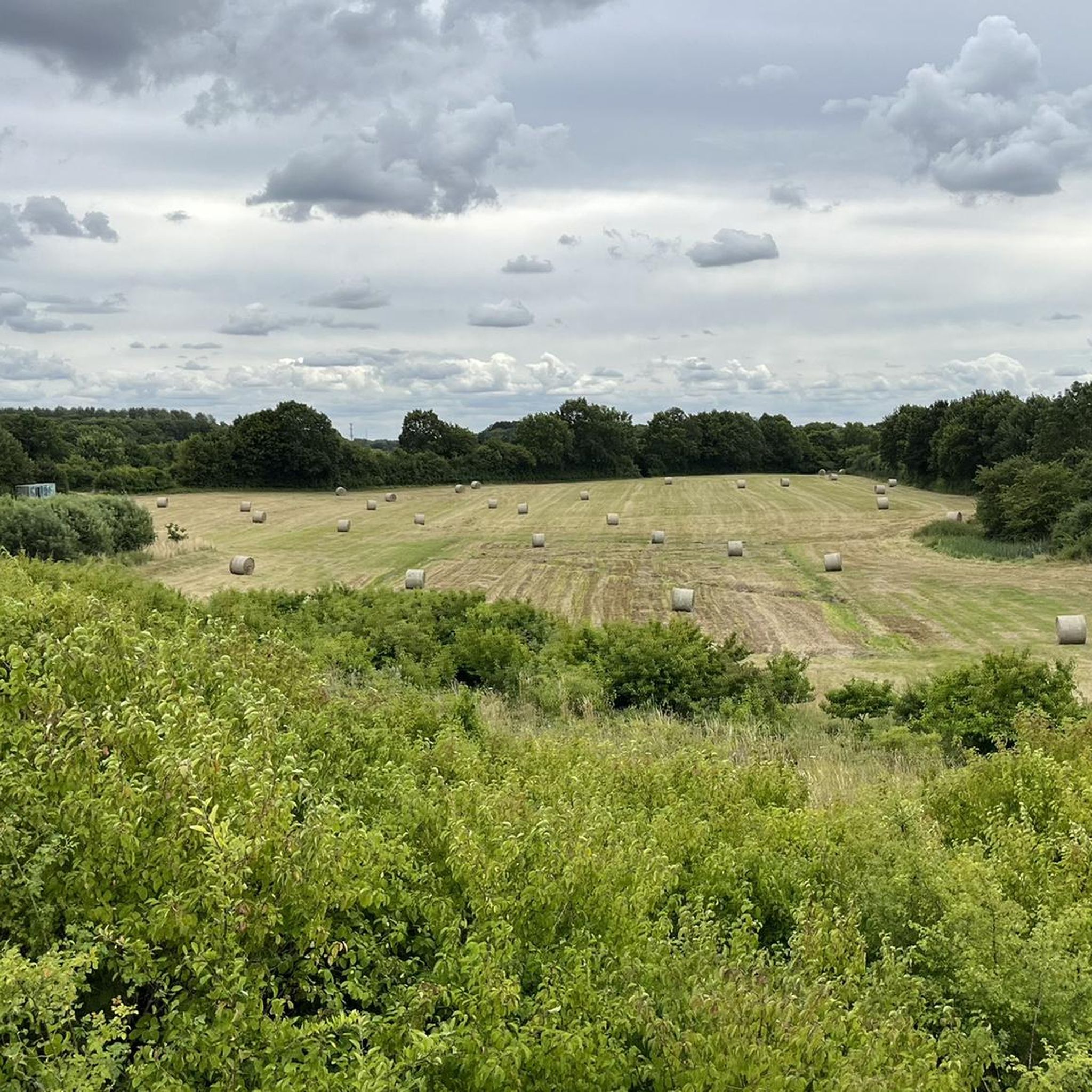
Hiking around Badendorf offers access to a landscape characterized by flat terrain and forested areas, providing accessible outdoor experiences. The region features open fields and paths through former military training areas, offering a mix of natural and historical points of interest. These trails are generally low in elevation gain, making them suitable for casual walks.
Best hiking trails around Badendorf
- The most popular hiking route is Wüstenei Military Training Area loop from Badendorf, a 2.9 miles (4.6 km) trail…
Last updated: August 18, 2026
4.8
(29)
144
hikers
Easy hike. Great for any fitness level. Easily-accessible paths. Suitable for all skill levels.
4.8
(5)
22
hikers
7.38km
01:53
20m
20m
Easy hike. Great for any fitness level. Easily-accessible paths. Suitable for all skill levels.

Sign up for free
4.5
(2)
16
hikers
2.40km
00:37
10m
10m
Easy hike. Great for any fitness level. Easily-accessible paths. Suitable for all skill levels.
5.0
(3)
5
hikers
6.62km
01:41
10m
10m
Easy hike. Great for any fitness level. Easily-accessible paths. Suitable for all skill levels.
1
hikers
Moderate hike. Good fitness required. Easily-accessible paths. Suitable for all skill levels.
Get access to more routes and recommendations from other explorers.
Sign up for free
Already have an account?
Our route recommendations are based on thousands of hikes, rides, and runs completed by other people on komoot.
Start today with a free account
Your next adventure awaits.
Login or Signup
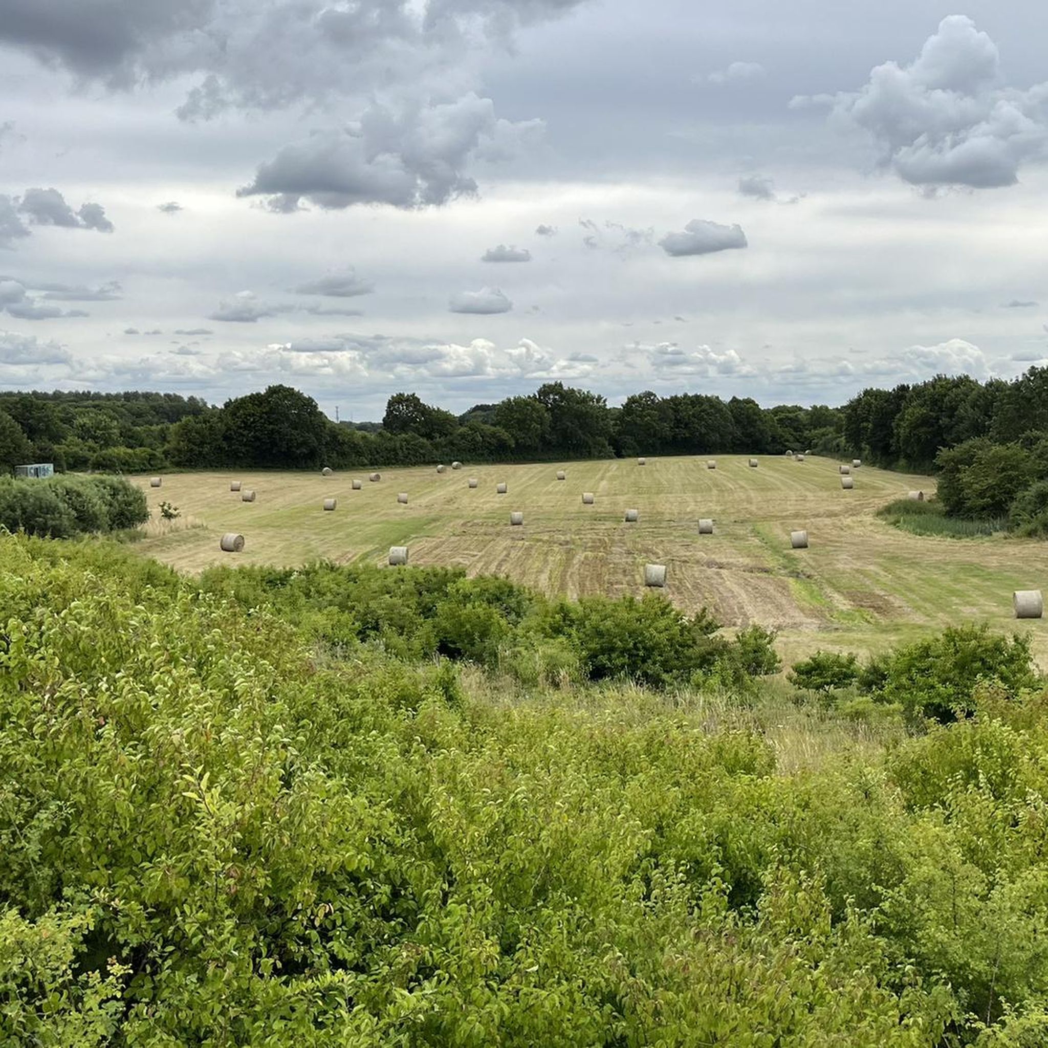
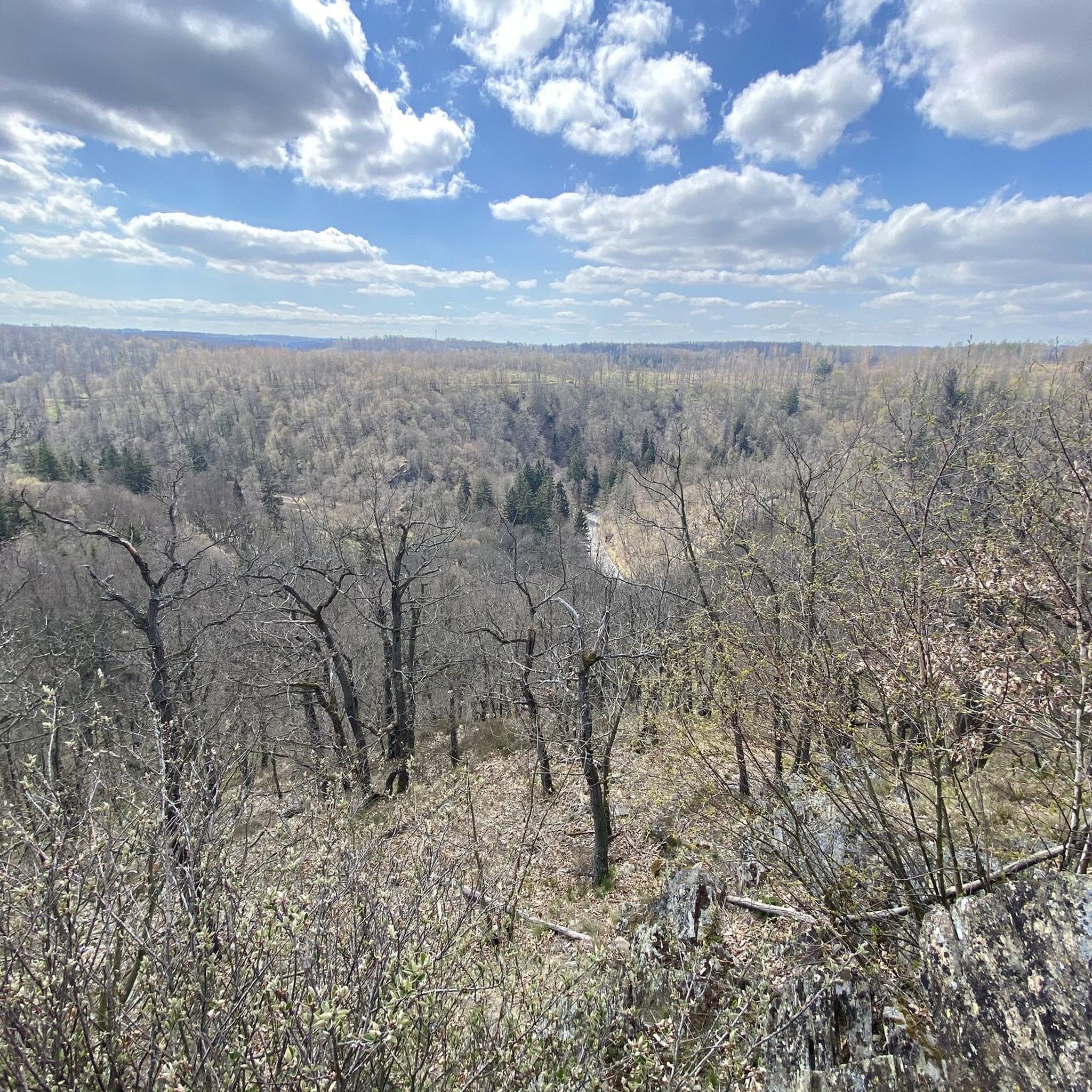
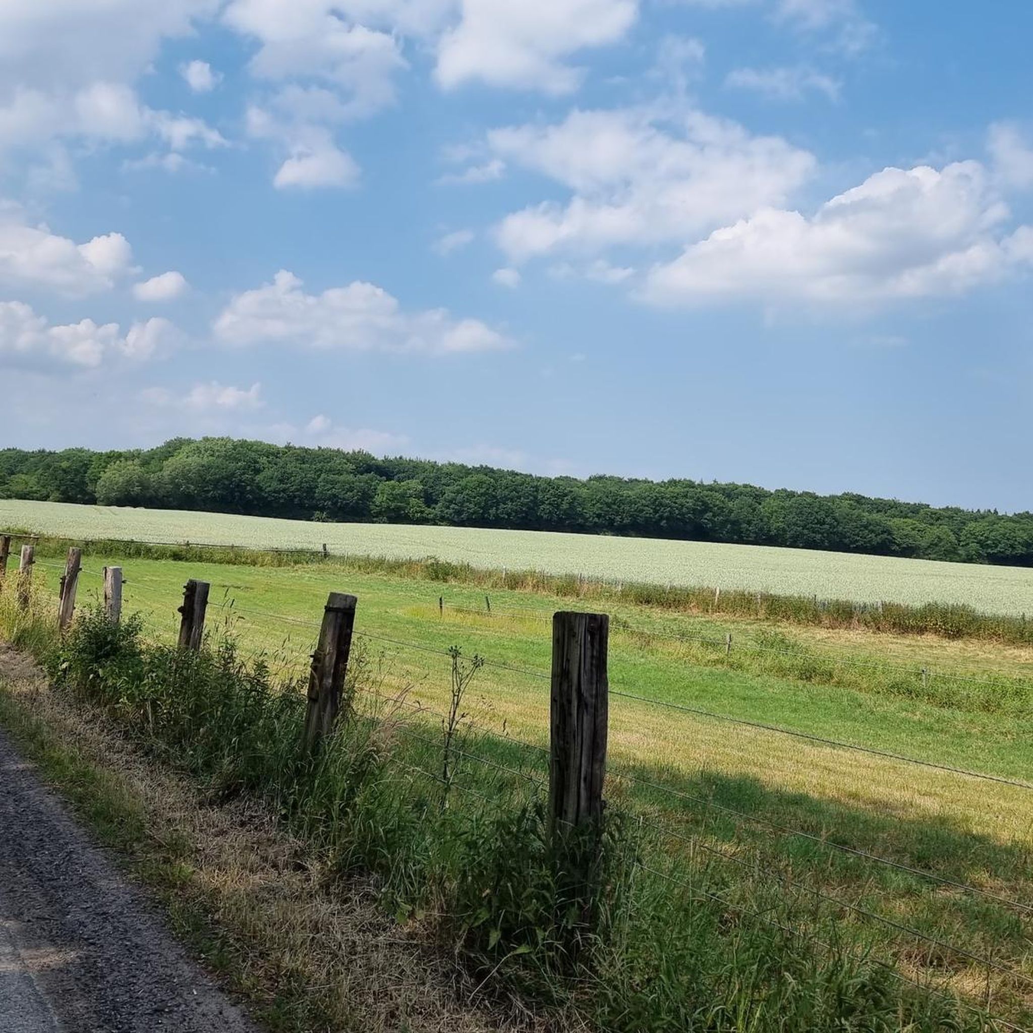
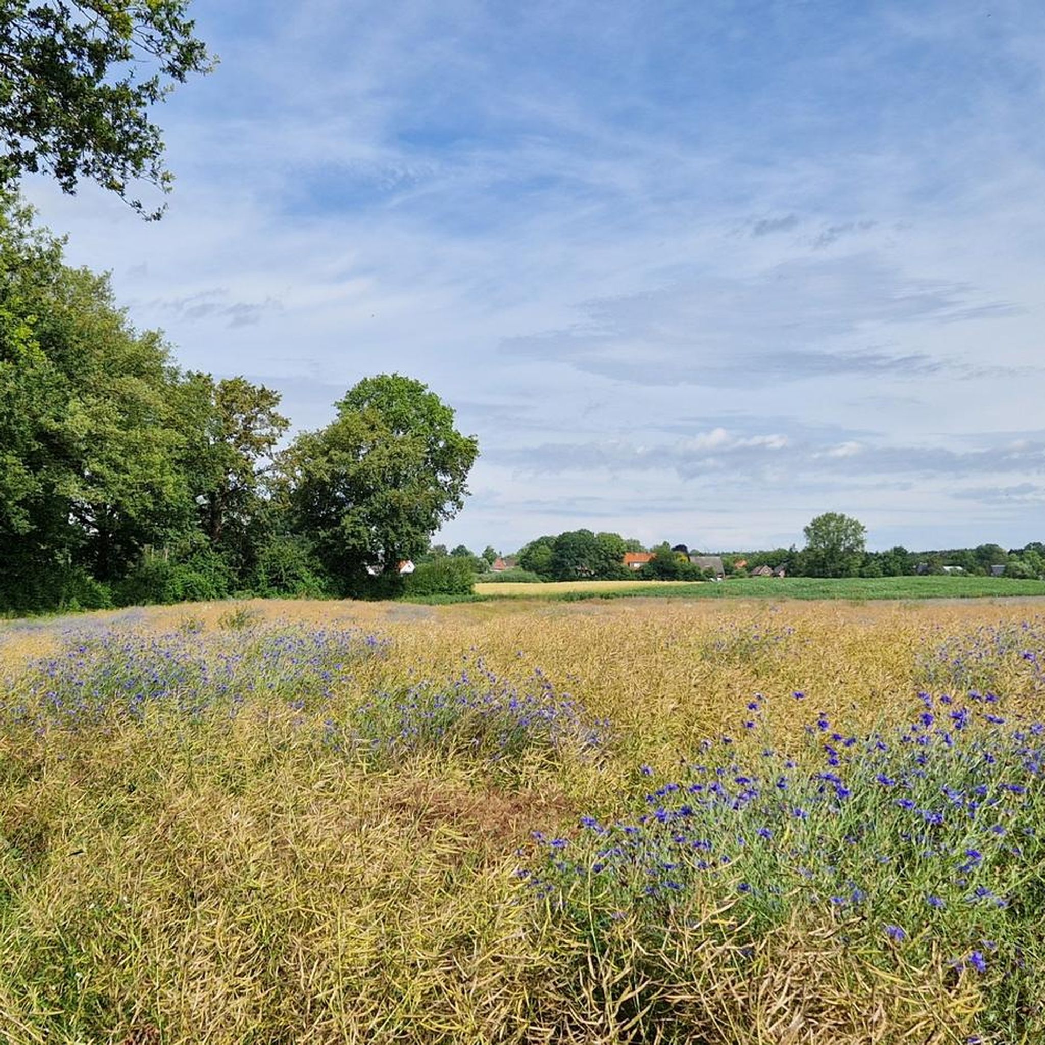
Tips from the Community

The Evangelical Church of Zarpen is a brick Gothic church in Zarpen, begun in 1221, which was built in the 13th century as the parish church of this early medieval main town and for the surrounding villages of the former Reinfeld Monastery in what is now the Nordstormarn district.
2
0

Groß Steinrade was incorporated into Lübeck in 1970 as part of a regional reform from Stockelsdorf. The first owner is named in 1306 as Marquard von Sandberg, who sold Groß Steinrade and Eckhorst to the Lübeck citizen Dietrich von Ahlen. Later, there were frequent changes of ownership (v. Wickede, v. Calven, v. Brömbsen, etc.) until the estate came into the possession of Henning von Rumohr in 1732. This family remained in possession of the estate until the death of the last Rumohr, General Detlev von Rumohr (1961). The house and farm have since been demolished; the approximately 150 hectare forest property has been transferred to the federal government and has been used as the Wüstenei military training area since 1965. The grave site is also located on the training ground. The pioneer units from the Trave barracks mainly use the site, but of course also the units stationed in the Hanseaten barracks (HL) in Lübeck-Blankensee. The public part of the Wüstenei, which has been separated since 1994 and is around 100 hectares in size, is a landscape conservation area and is open to the public. The Bundeswehr still uses the Wüstenei training area today, so entering the military part is prohibited. https://pzgrendiv6.de/pzgrendiv6/standorte/stouebpl-wuestenei.html
1
0

There are still some cranes here.
1
0

Here you should make a small detour and drive through this beautiful avenue of old linden trees in the direction of Zarpenerhof. Halfway there, however, it is better to turn left and continue on towards Zarpen, because straight ahead you only reach a dead end and the private farm grounds.
2
0
Here you drive over the eastern part of the Wüstenei military training area (near Groß Steinrade), which has been designated a nature reserve since 1994 and is freely accessible to the public. The rest of the training area is still used by the German army, although apparently only rarely. Units from Lübeck and Bad Segeberg used to train there, but their bases have all been closed since the 1990s. The numerous warning signs are apparently quite new and therefore still serious. The signs on both sides just show the same warning, so you can never be really sure whether you are driving in or out. And there is no prohibition sign on them either.
0
0
Only the eastern part (near Groß Steinrade) is freely accessible to the public and has been designated a nature reserve since 1994. The rest of the training area is still used by the German army, although apparently only rarely. Units from Lübeck and Bad Segeberg used to train there, but their locations have all been closed since the 1990s. The numerous warning signs are apparently quite new and therefore still serious. The signs on both sides show the same warning, so you can never be really sure whether you are driving in or out.
2
0

I have cycled here many times and on January 6th, 2024 I had my first meet5 hike with 11 interested people over 14 km through all areas and on all paths. I have never seen or heard of BW exercises here. So no criticism from me! Almost all dog owners adhere to the leash requirement and there is absolute silence and no traffic here. My hiking group was thrilled! She didn't know that at all. By the way, we parked in 23619 Badendorf, Zur Wüstenei. Our tour: [https://www.komoot.de/tour/1409155027]
0
1
Along the road to Dahmsdorf, you drive over a small hill. Although you only reach a height of about 30 meters, in good weather you have a beautiful view of the silhouette of Lübeck's towers.
2
0
Frequently Asked Questions
How many hiking trails are available around Badendorf?
There are over 890 hiking routes available around Badendorf, offering a wide range of options for different preferences and skill levels.
What kind of terrain can I expect on hikes near Badendorf?
Hikes around Badendorf are characterized by flat terrain, open fields, and forested areas. Many paths lead through the former Wüstenei Military Training Area, providing a mix of natural and historical points of interest with generally low elevation gain.
Are there many easy hiking options in Badendorf?
Yes, Badendorf is particularly well-suited for easy hikes, with over 650 routes classified as easy. These trails are ideal for casual walks and those looking for less strenuous outdoor experiences.
Are there any challenging hikes around Badendorf?
While the region is known for its generally flat terrain, there are a few more challenging routes available. You can find about 30 routes classified as difficult, offering a bit more of a workout for experienced hikers.
What is the typical duration of hikes in Badendorf?
Hikes in Badendorf vary in length and duration. Many popular routes, like the Wüstenei Military Training Area loop from Badendorf, can be completed in just over an hour. Longer routes, such as the Mest Marzipan Factory Outlet loop from Badendorf, typically take around 2.5 hours.
Are the hiking trails in Badendorf suitable for families?
Yes, the predominantly flat terrain and numerous easy routes make Badendorf an excellent destination for family-friendly walks. Many trails are accessible and offer a pleasant outdoor experience for all ages.
Are there circular walks available in Badendorf?
Yes, many of the hiking routes in Badendorf are circular, allowing you to start and end your journey in the same location. Examples include the Wüstenei Military Training Area – Mini Garden loop from Badendorf and the Mest Marzipan Factory Outlet loop from Badendorf.
What interesting places can I see near the hiking trails in Badendorf?
Beyond the trails, you can explore several nearby attractions. These include natural highlights like the View of Kleiner See and the Wakenitz Nature Reserve. For historical and cultural sights, consider visiting the Holsten Gate in Lübeck or the Lübeck Market Square.
What do other hikers enjoy the most about hiking in Badendorf?
The hiking routes in Badendorf are highly rated by the komoot community, with an average score of 4.5 stars from over 3,900 reviews. Hikers often praise the accessible flat paths, the open fields, and the peaceful forested sections that define the area's varied terrain.
Are there any specific highlights or landmarks to look out for on the trails?
While hiking, you might encounter points of interest such as the Herrenteich Reinfeld or the Fischhuser Bridge over the Herrenteich. The trails also offer glimpses into the history of the former Wüstenei Military Training Area.
Can I find hikes that offer scenic views in Badendorf?
Yes, while the terrain is generally flat, some routes offer pleasant views, particularly around the local lakes and open landscapes. The View of Kleiner See is a notable highlight for scenic appreciation.
Most popular routes around Badendorf
Most popular attractions around Badendorf

Get inspired with the komoot mobile app


Explore more
Browse the best Hikes in other regions.
