The best road cycling routes around Saint-Véran
4.6
(118)
5,452
riders
29
rides
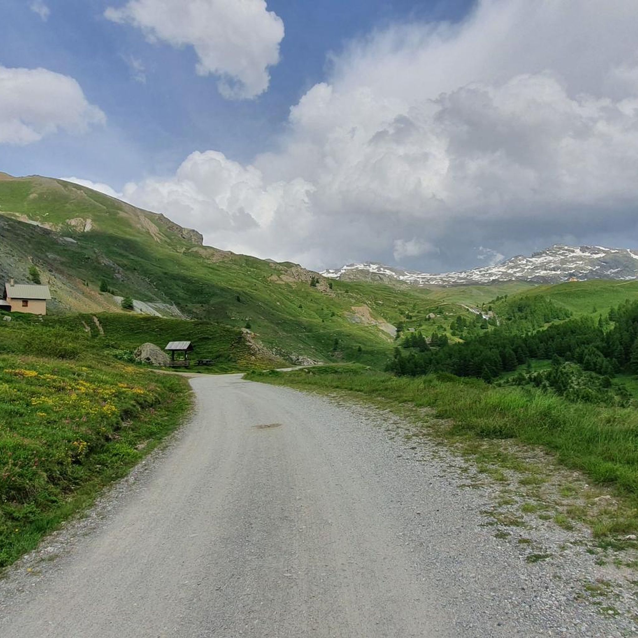
Road cycling routes around Saint-Véran are characterized by a high-altitude setting within the French Alps, offering demanding terrain and diverse landscapes. The region, part of the Queyras Regional Natural Park, features numerous formidable mountain passes and deep gorges carved by rivers. Cyclists navigate through alpine meadows, larch forests, and along rocky ridges. The village itself is situated at an altitude of 2,042 meters.
Best road cycling routes around Saint-Véran
- The most popular road cycling route is Chianale Village – Lac…
Last updated: October 4, 2026
4.6
(8)
320
riders
34.7km
02:28
1,260m
1,260m
Hard road ride. Very good fitness required. Mostly well-paved surfaces and easy to ride.
4.6
(8)
215
riders
Moderate road ride. Good fitness required. Mostly well-paved surfaces and easy to ride.

4.8
(10)
343
riders
68.0km
04:37
2,280m
2,280m
Hard road ride. Very good fitness required. Mostly well-paved surfaces and easy to ride.
5.0
(6)
166
riders
71.6km
04:11
1,750m
1,750m
Hard road ride. Very good fitness required. Mostly well-paved surfaces and easy to ride.
5.0
(2)
19
riders
Moderate road ride. Good fitness required. Mostly well-paved surfaces and easy to ride.
Get access to more routes and recommendations from other explorers.
Already have an account?
Our route recommendations are based on thousands of hikes, rides, and runs completed by other people on komoot.





Tips from the Community

The Castello di Château-Queyras (officially known as Fort Queyras) is a splendid medieval fortified castle located in the municipality of Château-Ville-Vieille, in the heart of the Queyras Regional Natural Park (Hautes-Alpes department, France). Situated at an altitude of 1,427 meters on a rocky outcrop overlooking the picturesque Guil valley, it holds the title of the highest medieval castle in France and is considered one of the country's best-preserved examples of alpine fortification.
0
0

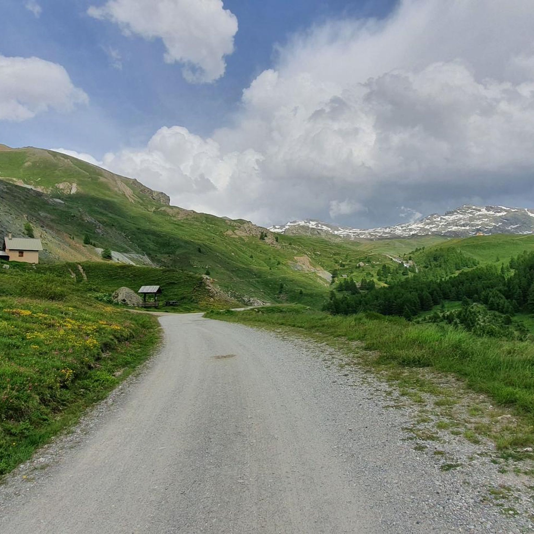
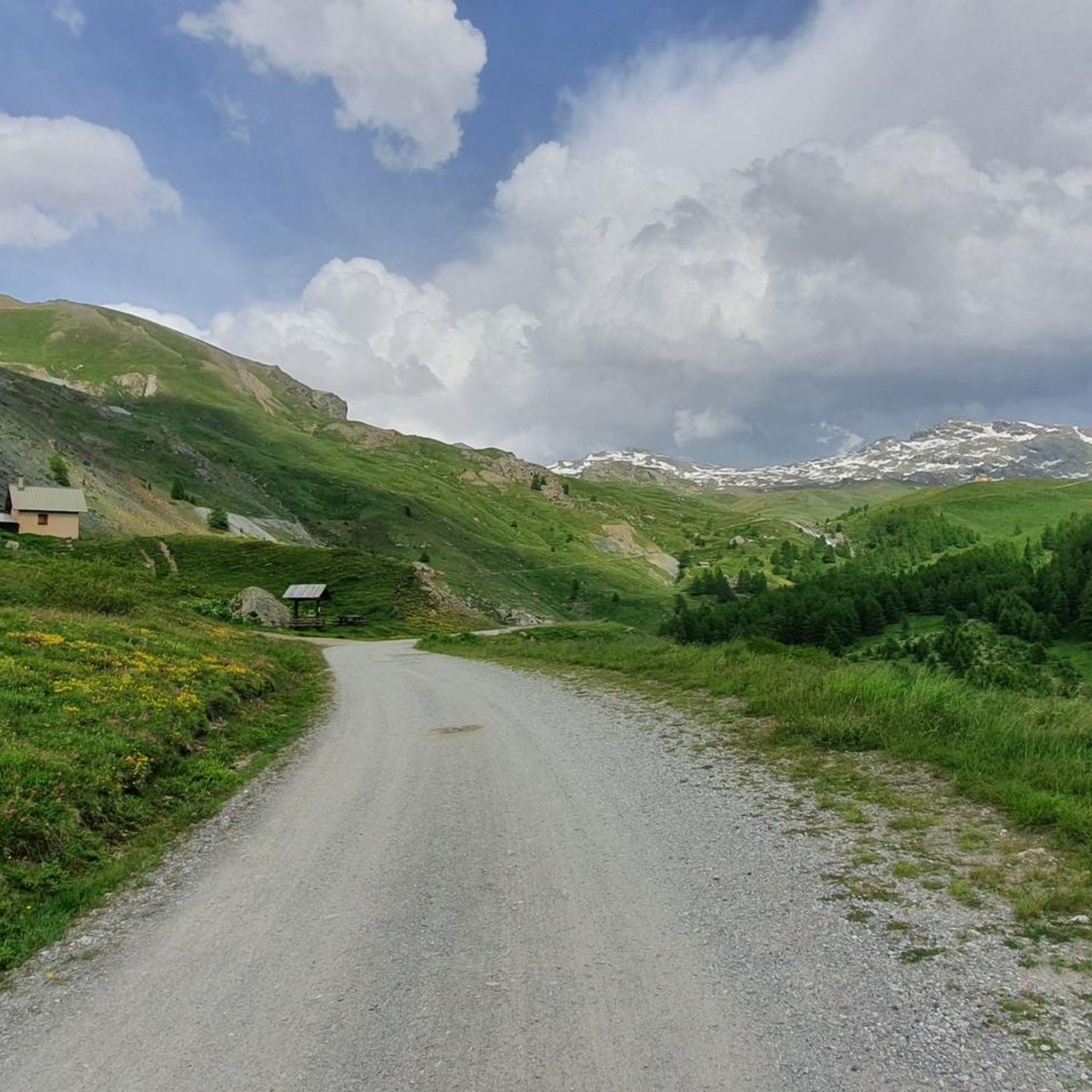
the climb to Colle dell'Agnello is spectacular, tough but with a view of the valley that is worth the effort
0
0

From Colle dell'Agnello the view over the Varaita valley is spectacular.
0
0
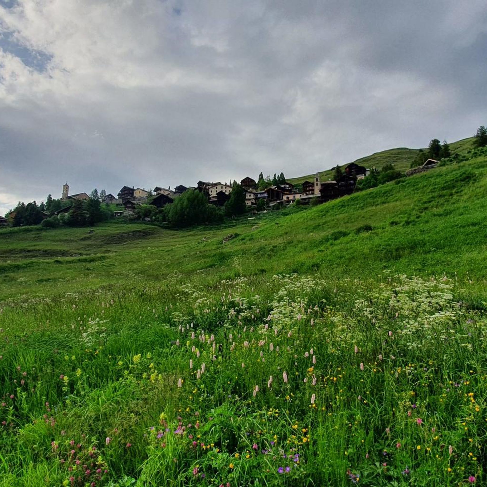
Perched at the crossroads of the Varaita di Chianale and Bellino valleys, a small village with several points of interest - immediately visible upon arriving from the valley, the civic tower and the two churches; upstream, the museum of the People's Saints, of dubious taste but perhaps for that reason interesting; stunning views of the surrounding mountains; many beautiful hikes in the vicinity; and easy access to the two summit valleys. A beautiful place for both a day trip and a holiday.
0
0
Frazione di Pontechianale in correspondence with the dam. The highlight is the view of the Pontechianale lake - but the church and the fountain are also worth attention.
0
0
Registered among the most beautiful villages in Italy, and for good reason. A pearl set in the majestic scenery of the Cottian Alps, all restored and cleaned up. A dream village.
0
0

There are so many! Even on the roadside.
0
0

There are some tunnels, better to have lights on the bikes
0
0
Frequently Asked Questions
What is the general difficulty level of road cycling routes around Saint-Véran?
Road cycling routes in Saint-Véran are predominantly challenging, characterized by significant elevation gains and high-altitude passes within the Queyras Regional Natural Park. Out of 22 available routes, 9 are classified as difficult, and 9 as moderate, reflecting the demanding alpine terrain.
Are there any beginner-friendly road cycling routes in Saint-Véran?
While many routes are challenging, there are a few options suitable for less experienced cyclists. The region offers 4 routes classified as easy, providing a gentler introduction to road cycling in the high Alps. These routes typically feature less extreme ascents and shorter distances.
What natural features or landmarks can I expect to see while road cycling in Saint-Véran?
Road cycling in Saint-Véran offers breathtaking views of the Queyras Regional Natural Park. You'll traverse through dense larch forests, open alpine meadows, and along rocky ridges. Keep an eye out for picturesque mountain lakes like Mirror Lake and Lake Sainte-Anne, which provide idyllic spots for a break. The dramatic Gorges du Guil also offer spectacular natural beauty.
Are there specific mountain passes I can cycle to for panoramic views?
Absolutely. The Saint-Véran region is famous for its formidable mountain passes, offering incredible panoramic vistas. Notable passes include Col de Chamoussière, Col Blanchet, and Col de Longet. You can also explore routes that ascend to Col Blanchet (2997 m) or the Fromage Pass, providing rewarding challenges and expansive views across the valleys and summits.
Is parking available for road cyclists in Saint-Véran?
Yes, parking is generally available in and around Saint-Véran, particularly in designated areas within the village or at the start points of popular routes. As Saint-Véran is a high-altitude village and a gateway to the Queyras Regional Natural Park, facilities are geared towards outdoor enthusiasts. It's advisable to check local signage for specific parking regulations and availability, especially during peak season.
What is the best time of year for road cycling in Saint-Véran?
The best time for road cycling in Saint-Véran is typically from late spring to early autumn (June to September). During these months, the high mountain passes are usually clear of snow, and the weather is more stable, offering ideal conditions for challenging ascents and enjoying the alpine scenery. Always check local weather forecasts and road conditions before heading out, as high-altitude weather can change rapidly.
Are there any loop road cycling routes in Saint-Véran?
Yes, many of the road cycling routes around Saint-Véran are designed as loops, allowing you to start and finish in the same location. For example, the Chianale Village – Lac de Pontechianale loop from Col Agnel / Colle dell'Agnello and the Col Agnel / Colle dell'Agnello – Aigue Agnelle Valley loop from Col Agnel / Colle dell'Agnello are popular options that offer circular journeys through the stunning alpine landscape.
What do other road cyclists enjoy most about road cycling in Saint-Véran?
The area is highly rated by the komoot community, with an average score of 4.4 stars from over 50 reviews. Reviewers often praise the challenging ascents, the breathtaking panoramic views from the high mountain passes, and the serene, unspoiled landscapes of the Queyras Regional Natural Park. The sense of achievement after conquering a demanding route is a common highlight.
Can I find cafes or accommodation along the road cycling routes in Saint-Véran?
Saint-Véran itself, as one of Europe's highest communes, offers traditional village charm with amenities like cafes and accommodation. While cycling on high mountain passes, facilities may be sparse, but you can often find refuges or small villages with services. For instance, the Vallanta Hut and La Blanche Refuge are points of interest that may offer respite or services along certain routes.
Are there any less crowded road cycling routes in Saint-Véran?
While popular passes can attract cyclists, the vastness of the Queyras Regional Natural Park means you can often find quieter routes. Exploring some of the moderate or less-known difficult routes, or cycling during off-peak times (early morning or late afternoon), can lead to a more solitary experience. The Into the rock – Bridge over the Guil loop from Massif d'Escreins, for example, offers a challenging ride through dramatic scenery.
How long are the road cycling routes near Saint-Véran?
The road cycling routes around Saint-Véran vary significantly in length. You can find routes ranging from shorter, intense climbs to longer, epic journeys. For instance, the Col Agnel (Colle dell'Agnello) – Col Agnel / Colle dell'Agnello loop from inizio percorso is about 19.8 km, while the Pierre-Grosse – Aigue Agnelle Valley loop from Queyras Regional Nature Park extends to approximately 60.7 km, offering options for different endurance levels.
Most popular routes around Saint-Véran
Most popular attractions around Saint-Véran

Get inspired with the komoot mobile app


Explore more
Browse the best Road cycling routes in other regions.
