The best running trails around Valfleury
4.2
(219)
5,584
runners
341
runs
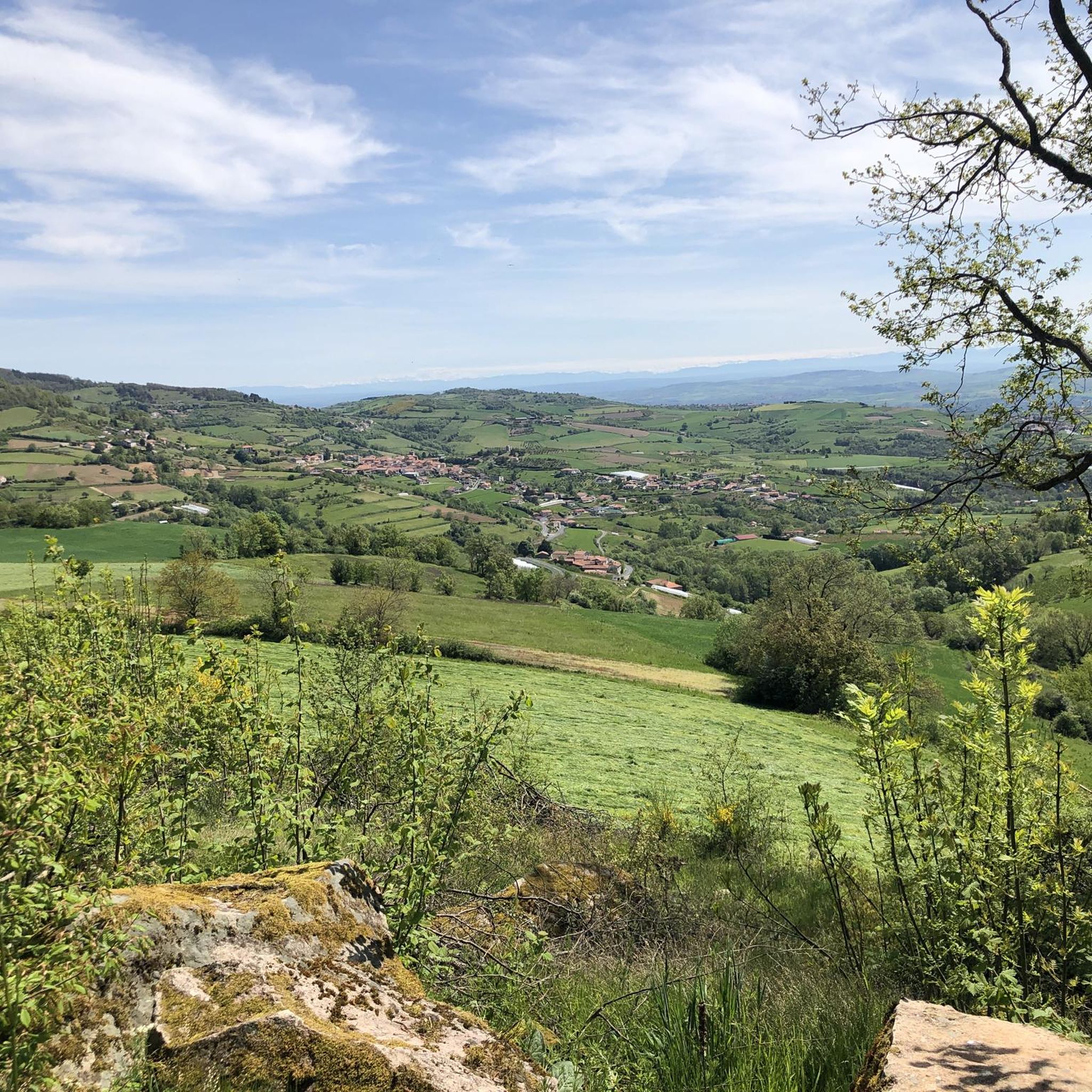
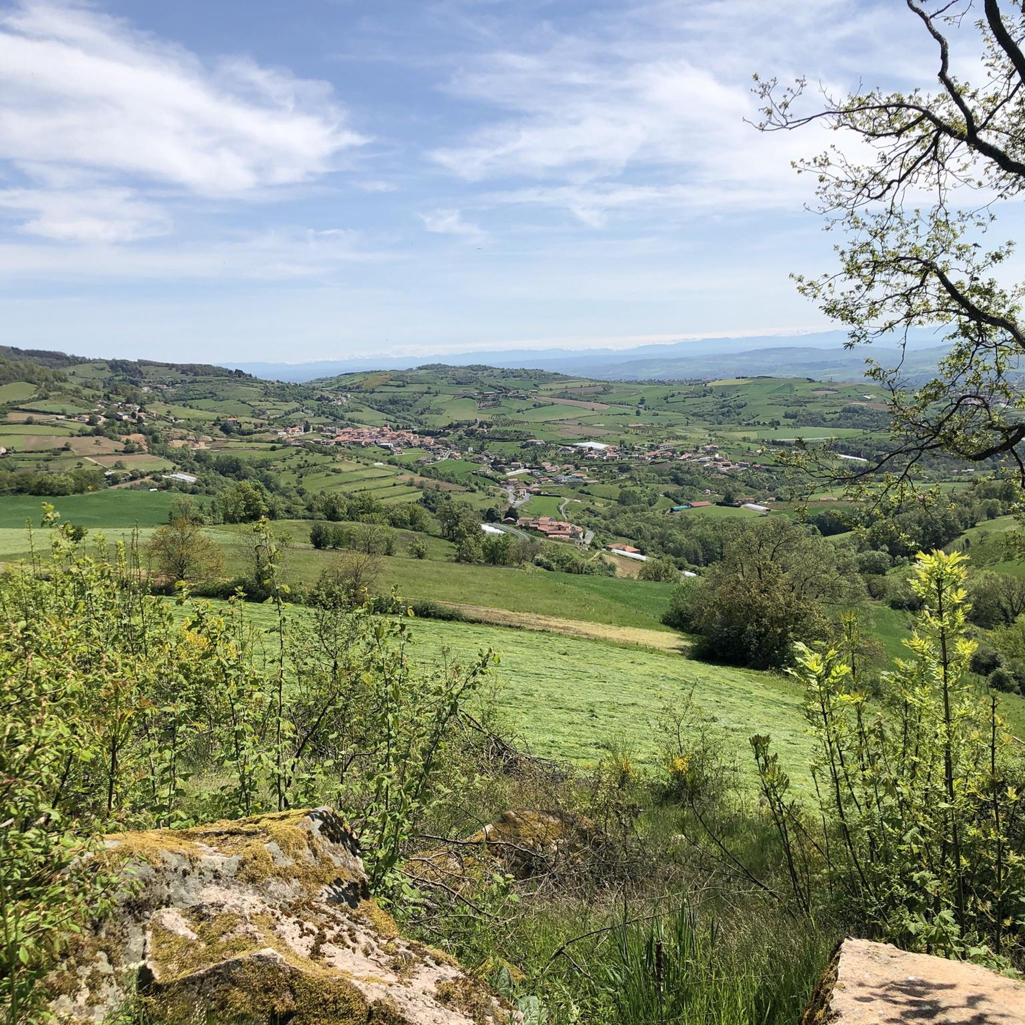
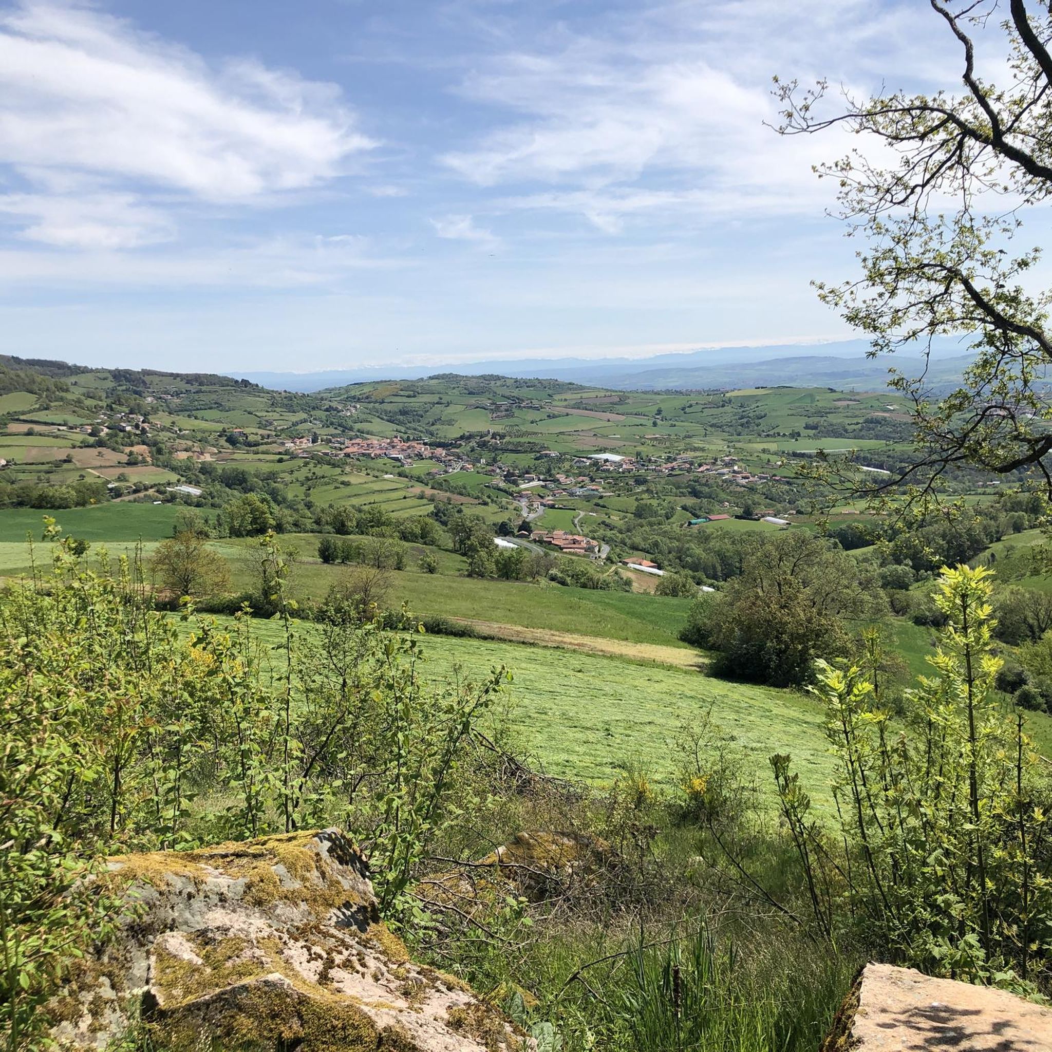
Jogging around Valfleury offers access to a diverse landscape within France's Loire department, characterized by its elevated position ranging from 359 to 820 meters above sea level. The region is situated near the Pilat Regional Natural Park, providing varied terrain for running. Jogging routes here traverse forests, meadows, and valleys, with some extending to high-altitude moors and ridges.
Best jogging routes around Valfleury
- The most popular jogging route is Le Signal loop from Cellieu, a 50.4 miles (81.2 km)…
Last updated: October 27, 2026
5.0
(1)
137
runners
67.9km
08:23
1,790m
1,790m
Hard run. Very good fitness required. Mostly paved surfaces.
62
runners
44.4km
05:38
1,260m
1,260m
Hard run. Very good fitness required. Mostly paved surfaces.

5.0
(14)
17
runners
13.9km
01:39
300m
300m
Moderate run. Good fitness required. Mostly paved surfaces.
24
runners
9.65km
01:12
230m
230m
Moderate run. Good fitness required. Mostly paved surfaces.
31
runners
14.7km
01:50
430m
430m
Hard run. Very good fitness required. Mostly paved surfaces.
Get access to more routes and recommendations from other explorers.
Already have an account?
Our route recommendations are based on thousands of hikes, rides, and runs completed by other people on komoot.
Start today with a free account
Your next adventure awaits.


Tips from the Community

on the watershed between the ocean and the Mediterranean
0
0


Pleasant and friendly especially when the weather is nice
0
0
Super beautiful and pleasant in good weather
0
0
Nice view and pleasant
0
0

Beautiful hike without difficulty with beautiful viewpoints
0
0

Pilat and Alps viewpoint
0
0

As you pass near the zoo, you will be able to hear and even see certain animals
0
0
Frequently Asked Questions
How many running routes are available around Valfleury?
There are over 330 jogging routes available around Valfleury, offering a wide variety of options for all skill levels. This includes 23 easy routes, 197 moderate routes, and 110 difficult routes.
What kind of terrain can I expect on the jogging routes near Valfleury?
The terrain around Valfleury is diverse, ranging from 359 to 820 meters above sea level. You can expect routes that traverse forests, meadows, and valleys, with some extending to high-altitude moors and ridges within the Pilat Regional Natural Park. The region also features agricultural areas with apple and cherry orchards.
Are there any scenic running trails with panoramic views in the Valfleury area?
Yes, many routes offer breathtaking panoramic views. Trails along the Pilat ridges, such as those near the Perdrix Crest (Crêt de la Perdrix) and Oeillon Crest (Crêt de l'Œillon), provide stunning vistas of the Rhône Valley, the Vercors mountains, the Alps, and the Monts du Lyonnais and Forez. On clear days, you might even see Mont Blanc.
Can I find family-friendly running paths around Valfleury?
While specific family-friendly routes are not detailed in the data, the region offers 23 easy jogging routes. These easier paths, often through forests and open landscapes, are generally suitable for families looking for a less strenuous run. For example, the Chemin de la fond du loup – Col de la Gachet loop from Saint-Christo-en-Jarez is a moderate 6.9 km route that might be suitable.
Are dogs allowed on the running trails near Valfleury?
Many natural areas in France, including parts of the Pilat Regional Natural Park, are generally dog-friendly, especially if dogs are kept on a leash. However, it's always recommended to check local signage or specific park regulations for any restrictions on individual trails or protected areas to ensure a pleasant experience for everyone.
What are some notable landmarks or attractions I might see while jogging in Valfleury?
While jogging, you might encounter various points of interest. Nearby attractions include the Gold Mine of Saint-Joseph, the charming settlement of Saint-Symphorien-sur-Coise, or the Couzon Dam. For scenic views, the White cross is a notable viewpoint.
Are there circular running routes available in Valfleury?
Yes, many of the running routes around Valfleury are designed as loops. For instance, the popular Cret Magat – Château d'Albuzy loop from Valfleury is a 9.7 km trail that starts and ends in Valfleury, offering a convenient circular option.
What is the best time of year to go jogging in Valfleury?
Valfleury's diverse landscape makes it suitable for jogging throughout much of the year. Spring and autumn offer pleasant temperatures and vibrant scenery, with deciduous forests changing colors. Summer is also good, especially at higher elevations, though some lower trails might be warmer. Winter running is possible, but be prepared for potentially muddy or snowy conditions, especially on higher trails within the Pilat Regional Natural Park.
Are there options for parking near the trailheads in Valfleury?
While specific parking details for every trailhead are not provided, Valfleury and its surrounding villages typically offer public parking areas. Many routes, like the Cret Magat – Château d'Albuzy loop, start directly from Valfleury, suggesting parking is available within the commune or at designated trail access points.
How do other runners rate the jogging experience in Valfleury?
The jogging routes around Valfleury are highly regarded by the komoot community, with an average rating of 4.3 stars from over 180 reviews. More than 5000 runners have explored the varied terrain, often praising the scenic beauty and diverse challenges offered by the Pilat Regional Natural Park.
Are there any challenging running routes for experienced joggers in Valfleury?
Absolutely. Valfleury is an excellent destination for experienced runners, with 110 difficult routes available. The Le Signal loop from Cellieu, an 81.2 km trail with significant elevation gain, is a prime example of a challenging route offering extensive views across the Pilat Regional Natural Park.
Can I reach the jogging trails around Valfleury using public transport?
Valfleury is a commune in the Loire department, and while local bus services might connect it to larger towns, direct public transport access to all trailheads might be limited. For detailed information on public transport options to Valfleury and nearby starting points, it's advisable to consult local transport schedules or the official Valfleury commune website.
Are there any cafes or places to refuel near the jogging routes in Valfleury?
Valfleury, as a small commune, likely has local establishments where you can find refreshments. For more options, nearby larger villages or towns would offer a wider selection of cafes, pubs, and restaurants to refuel after your run. It's a good idea to check local listings for specific opening hours.
Most popular attractions around Valfleury

Get inspired with the komoot mobile app


Explore more
Browse the best Running Trails & Routes in other regions.
