The best road cycling routes around Marcé-Sur-Esves
4.1
(45)
867
riders
141
rides
Road cycling routes around Marcé-Sur-Esves traverse a landscape characterized by rolling countryside, river valleys, and historic towns. The region offers a mix of quiet rural roads and routes connecting charming villages. Elevation changes are generally moderate, with some longer climbs on more challenging routes.
Best road cycling routes around Marcé-Sur-Esves
- The most popular road cycling route is Mills Street, Montbazon – Henri IV Bridge loop from Port-de-Piles, a 83.6 miles (134.6 km) trail that takes about 5 hours 45…
Last updated: November 3, 2026
4.3
(4)
114
riders
134km
05:39
570m
570m
Hard road ride. Very good fitness required. Some segments of this route may be unpaved and difficult to ride.
5.0
(2)
22
riders
194km
07:54
930m
930m
Hard road ride. Very good fitness required. Mostly well-paved surfaces and easy to ride.

3.0
(1)
35
riders
186km
07:54
700m
700m
Hard road ride. Very good fitness required. Some segments of this route may be unpaved and difficult to ride.
3.0
(1)
28
riders
55.3km
02:18
280m
280m
Moderate road ride. Good fitness required. Mostly well-paved surfaces and easy to ride.
20
riders
116km
04:53
450m
450m
Moderate road ride. Good fitness required. Some segments of this route may be unpaved and difficult to ride.
Get access to more routes and recommendations from other explorers.
Already have an account?
Our route recommendations are based on thousands of hikes, rides, and runs completed by other people on komoot.
Start today with a free account
Your next adventure awaits.

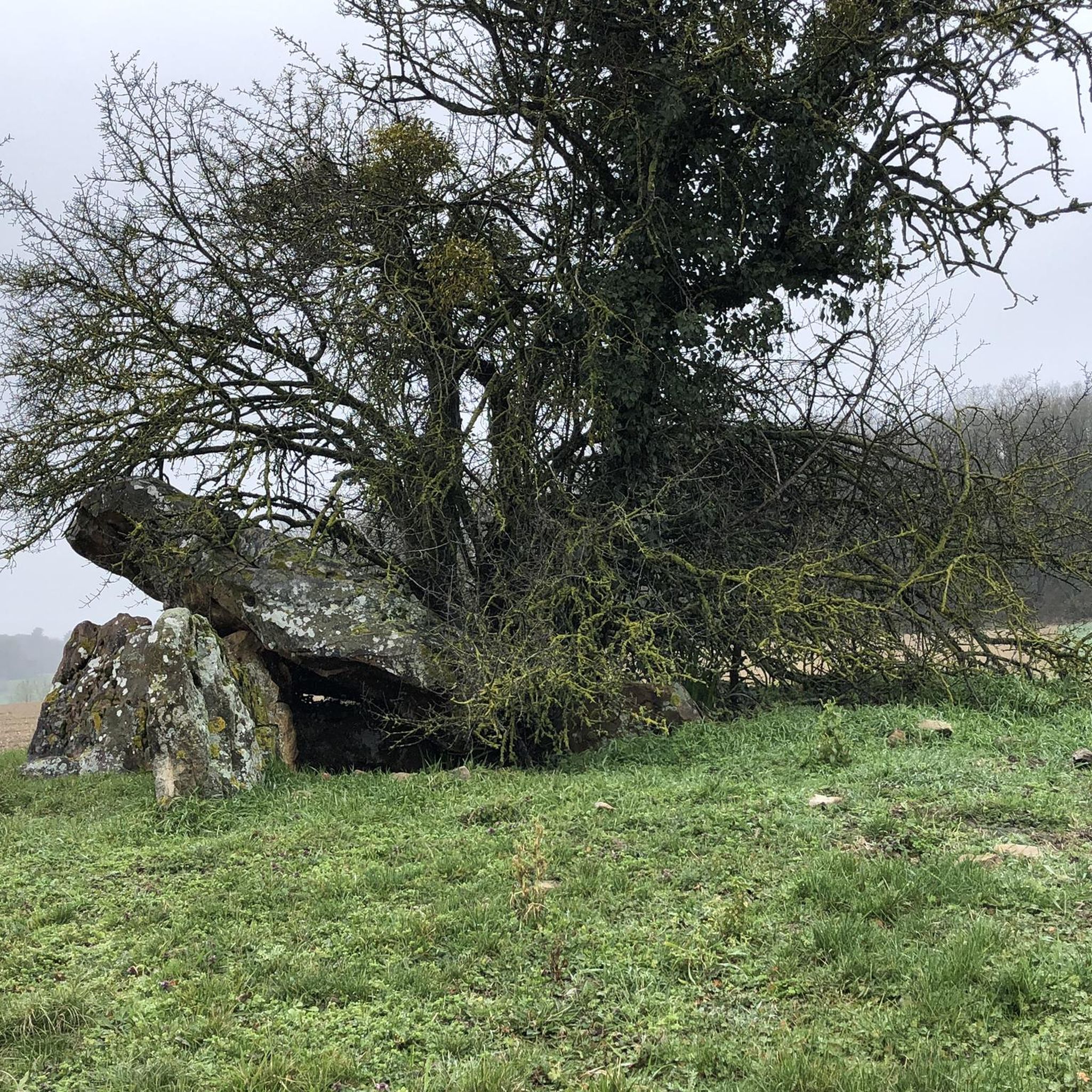


Tips from the Community

The Henri IV bridge of Châtellerault: a history of nearly 1,000 years The Henri IV bridge is one of Châtellerault's emblematic monuments. It crosses the Vienne river near its confluence with the Envigne and is today a remarkable work of the Renaissance. 🏰 Before the current bridge The existence of a bridge in Châtellerault is attested as early as the 11th century, around 1065, and again in 1120. It is said to have been initially linked to an old ford allowing crossing the Vienne. In the Middle Ages, several structures followed one another. A stone bridge is said to have been built in the 12th century, parallel to the development of the fortified district of Châteauneuf on the left bank. Around 1350, during the Hundred Years' War, the crossing was fortified with towers placed at the ends of the bridge. In the 16th century, the bridge was badly damaged. A major flood of the Vienne in 1556 notably destroyed the old wooden structure. King Henry II then considered rebuilding it in stone, but his accidental death in 1559 interrupted the project. 👑 The construction of the current bridge It was finally under Charles IX, then Henry III, that the project for a new large stone bridge was relaunched around 1564-1565, at the request of the inhabitants. The construction would be extraordinarily long: over forty years, from 1565 to 1609. Four architects succeeded each other in managing the site, including members of the famous Du Cerceau family, great architects of the Renaissance. The site was finally completed under Henry IV, with the decisive intervention of Sully, his superintendent of buildings and chief surveyor of France. Henry IV himself came to Châtellerault in 1606, while the bridge was not yet finished. It would be delivered in 1609, a year before the king's death. It is therefore important to specify that the bridge was not built "by Henry IV": it was started under Charles IX and completed during his reign. Why does it bear his name? It is even an interesting peculiarity: for several centuries, it was not called "Henri IV bridge". It is found under the names: -Pont-Neuf -Grands-Ponts -Bridge of Châtellerault -then in the 19th century Pont Sully. -It was only around 1900 that it definitively took the name of Henri IV bridge. 🏗️ An exceptional structure The bridge measures approximately 150 m in length and over 21 m in width. It consists of large stone arches. It has a very remarkable feature: two powerful round towers with conical roofs frame the entrance to the bridge on the left bank, on the Châteauneuf side. These towers give the bridge its almost "fortified" appearance. However, contrary to what one might think, they were not essentially military structures. They could notably be used to control the entrance to the town, especially during periods of unrest or epidemics. The towers formerly located at the other end, on the town side, have now disappeared. ⚔️ The bridge during the Second World War The bridge also played a dramatic role in August 1944. As German troops were withdrawing, the bridge was threatened with destruction. On August 31 and September 1, 1944, the action of police commissioner and FFI lieutenant Charles Bichat, as well as the negotiations of sub-prefect Pierre-Marcel Wiltzer, prevented its destruction. This is a particularly important episode in the contemporary history of the monument. 🏛️ Historic Monument The Henri IV bridge has been classified as a historic monument since 1913. Today it belongs to two owners: -the Department of Vienne for the bridge, arches, and roadway; -the City of Châtellerault for the two towers. 🔨 The major recent restoration An in-depth diagnosis carried out in 2017 revealed the importance of the necessary work. A first phase of restoration was launched in 2022: waterproofing of the deck, restoration of the buried parts, and then progressive restoration of the arches. After 16 months of work, the bridge was reopened to traffic on April 21, 2023, and the work was officially inaugurated on May 27, 2023. The overall cost of restoring the masonry had been estimated at over 7.5 million euros including tax, to which were added the works concerning the roadway. A particularly interesting architectural detail The Henri IV bridge belongs to the same generation of structures as the Pont-Neuf in Paris and the Pont-Neuf in Toulouse. However, it has a remarkable characteristic: great regularity and highly advanced architectural symmetry, with particularly sophisticated stonework.
0
0

Luxury hotel and restaurant project. From the outside, the castle is interesting to see. It reminds me of the Château de Pierrefonds, in a miniature version. It is classified as a historic monument,
0
0


LES Ormes is known for its unique architectural ensemble of an unavoidable historical richness.
16
0
View from the bridge on Les Ormes.
16
0
Camping Les Ormes is located on the river
13
0
Beautiful path along the river
14
0
Frequently Asked Questions
How many road cycling routes are available around Marcé-Sur-Esves?
There are over 140 road cycling routes around Marcé-Sur-Esves listed on komoot, offering a wide variety of options for different skill levels and preferences.
Are there road cycling routes suitable for beginners in Marcé-Sur-Esves?
Yes, Marcé-Sur-Esves offers a good selection of beginner-friendly routes. There are 55 easy routes, such as the Château de la Guerche – View of the Château de la Guerche loop from Grignon, which provides a gentle introduction to the region's scenic roads.
What kind of terrain can I expect on road cycling routes in Marcé-Sur-Esves?
The region is characterized by rolling countryside, river valleys, and quiet rural roads. While elevation changes are generally moderate, some routes feature longer climbs, offering a varied experience for road cyclists.
Are there any long-distance road cycling routes in the area?
Yes, for those seeking longer rides, Marcé-Sur-Esves has several extensive routes. The Saint-Gatien Cathedral – Château de Dissay loop from Port-de-Piles, for example, spans over 210 km, leading through historic areas and open fields.
What are some challenging road cycling routes around Marcé-Sur-Esves?
For experienced cyclists, there are 6 difficult routes available. A notable challenging option is the Mills Street, Montbazon – Henri IV Bridge loop from Port-de-Piles, which is 134.6 km long and features significant elevation gain through varied terrain.
Are there circular road bike loops available?
Many of the road cycling routes in Marcé-Sur-Esves are designed as circular loops, allowing you to start and finish at the same point. This is convenient for exploring the region without needing to arrange return transport.
What can I see along the road cycling routes in Marcé-Sur-Esves?
Road cycling routes often pass through charming villages and offer views of historic architecture. You can also explore natural features like the Courtineau Valley or visit the historic town of Les Ormes. Many routes connect these points of interest.
What is the best season for road cycling in Marcé-Sur-Esves?
The spring and autumn months generally offer the most pleasant conditions for road cycling, with mild temperatures and beautiful scenery. Summer can also be enjoyable, though it's advisable to ride earlier in the day to avoid the midday heat.
Are there places to stop for refreshments along the routes?
Yes, many routes pass through or near charming villages where you can find local cafes and pubs. These provide excellent opportunities to refuel and experience the local culture during your ride.
What do other road cyclists enjoy most about road cycling in Marcé-Sur-Esves?
The area is highly rated by the komoot community, with an average score of 4.2 stars from over 40 reviews. Reviewers often praise the quiet country roads, scenic river crossings, and the blend of historic sites with natural beauty.
Are there any routes that pass by lakes or natural water features?
Yes, routes like the Lieu dit la Falaise – Gros Caillou Lake loop from Buxeuil offer a balanced ride through the local countryside, often passing by natural features such as lakes, providing picturesque views.
Where can I find parking for road cycling routes?
Parking is typically available in the towns and villages where routes begin. Many routes are designed as loops, making it convenient to park your vehicle and start your ride from a central location.
Most popular routes around Marcé-Sur-Esves
Most popular attractions around Marcé-Sur-Esves

Get inspired with the komoot mobile app


Explore more
Browse the best Road cycling routes in other regions.
