Saint-Léger-Les-Mélèzes
Saint-Léger-Les-Mélèzes
The best walks and hikes around Saint-Léger-Les-Mélèzes
4.5
(948)
8,335
hikers
209
hikes
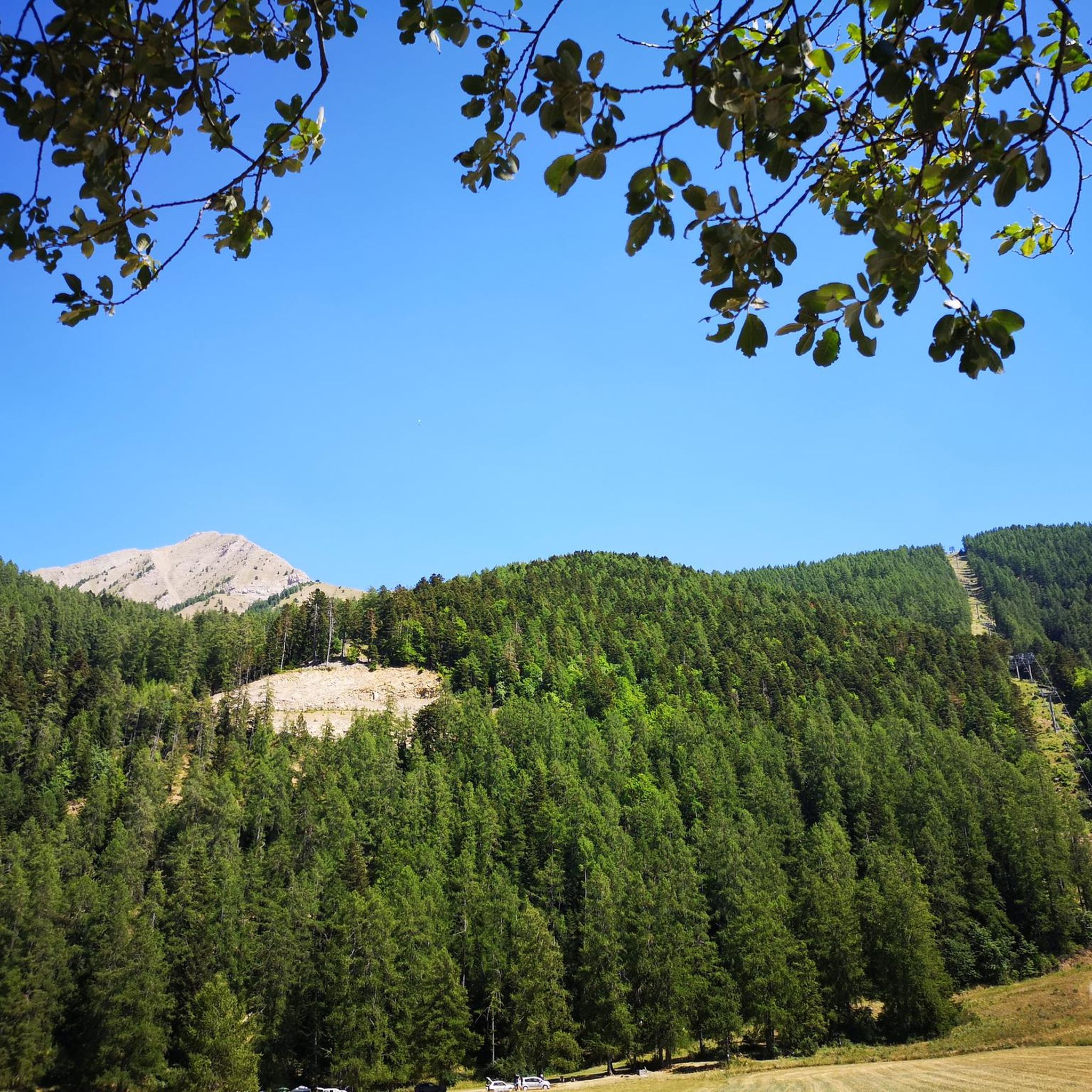
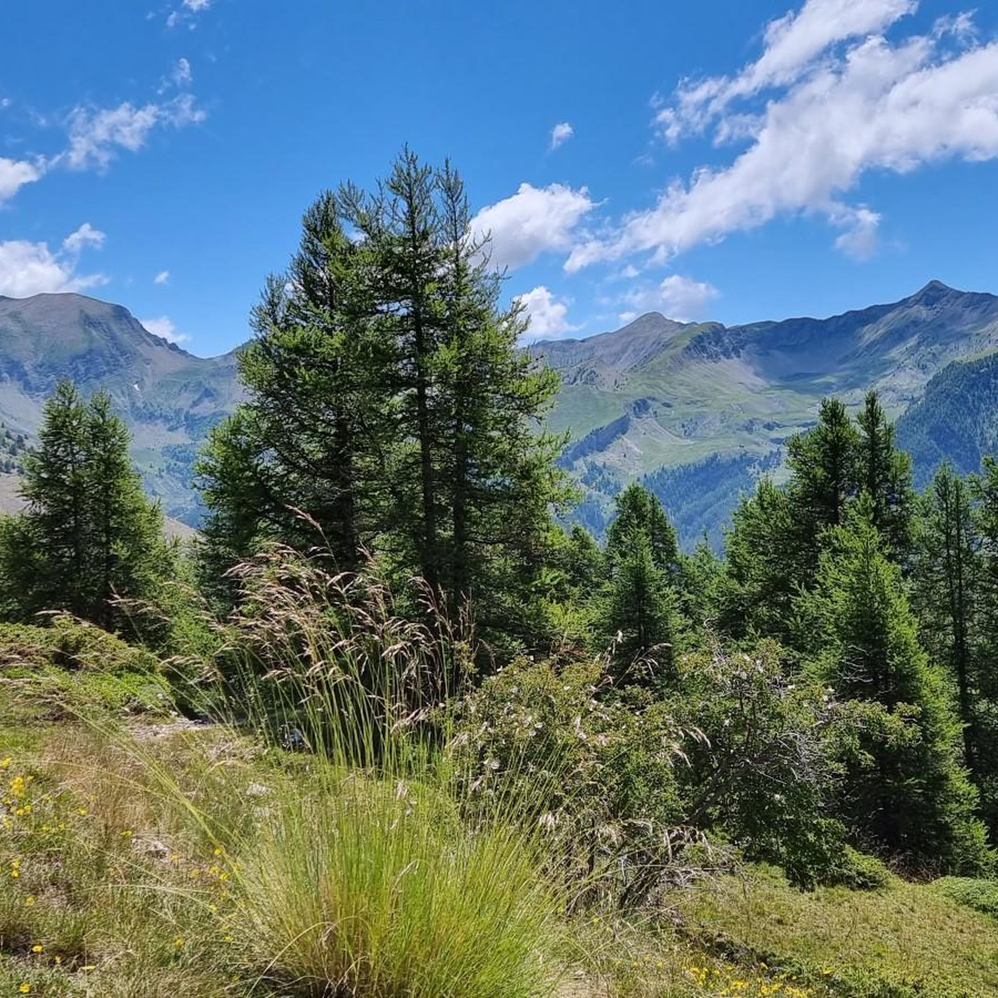
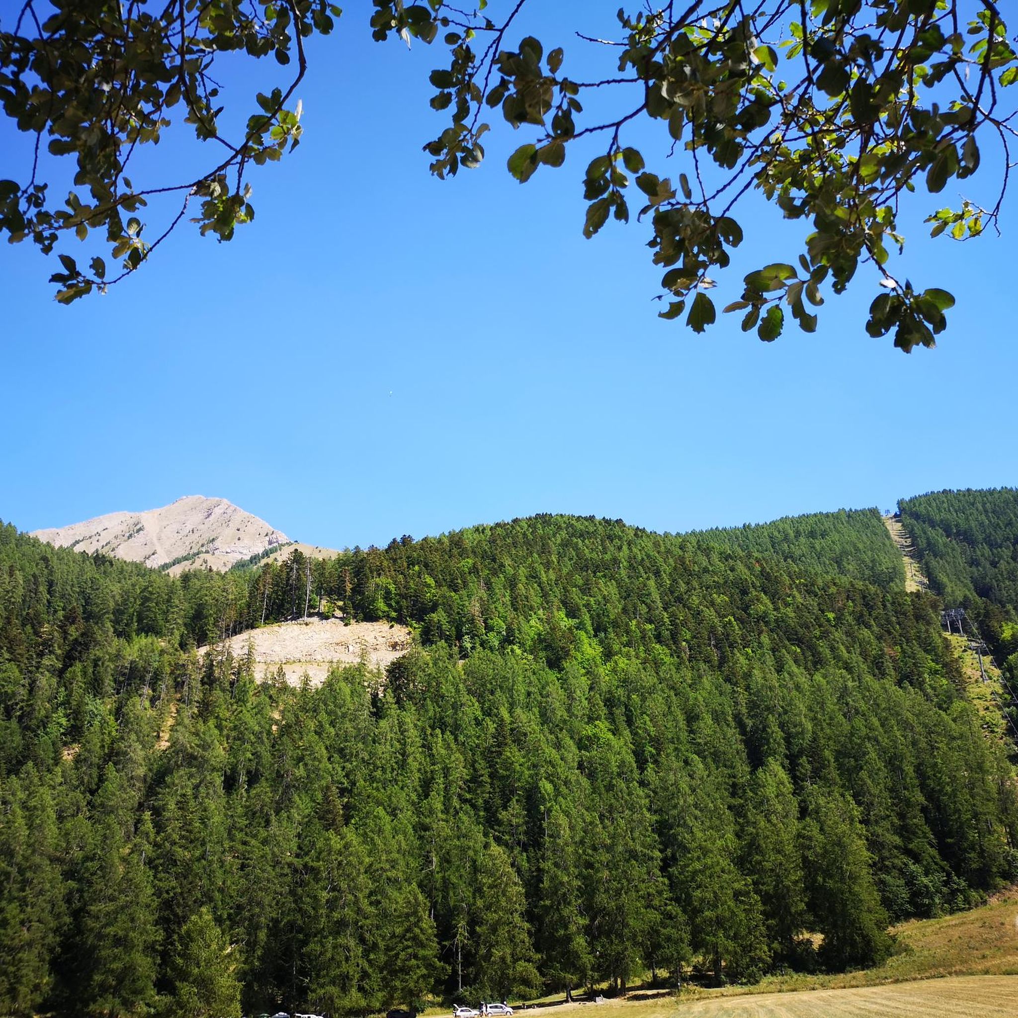
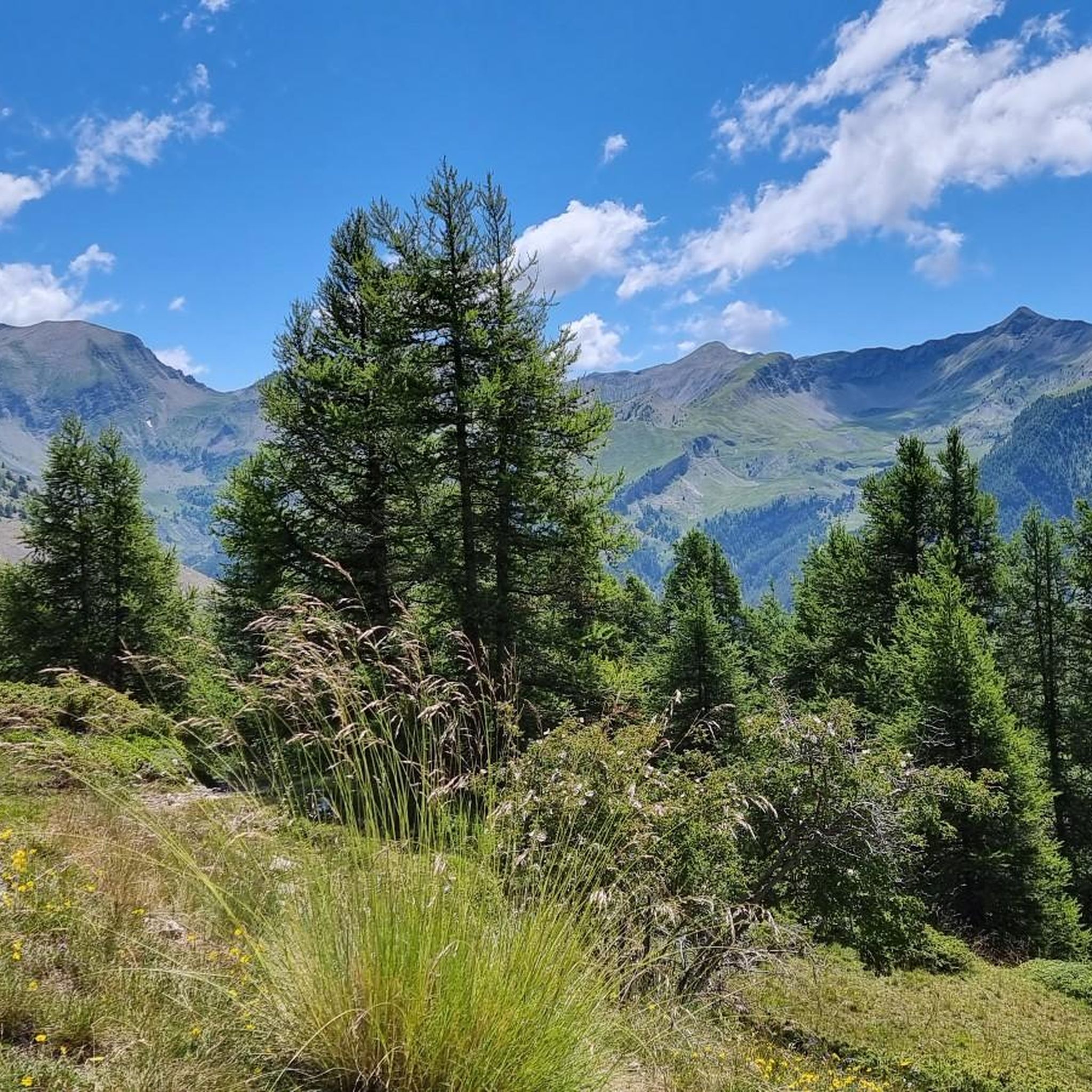
Hiking trails around Saint-Léger-Les-Mélèzes traverse diverse terrain in the Hautes-Alpes department, situated within the Champsaur valley. The region is characterized by abundant larch forests, which are referenced in the village's name. It offers views over the Champsaur Valley and is backed by mountains like Le Cuchon, with the peripheral zone of the Écrins National Park nearby. This area provides a preserved environment with varied flora and fauna.
Best hiking trails around Saint-Léger-Les-Mélèzes
- The most popular hiking route is Plateau de…
Last updated: July 22, 2026
4.8
(5)
40
hikers
8.24km
02:23
220m
220m
Moderate hike. Good fitness required. Easily-accessible paths. Suitable for all skill levels.
4.8
(5)
15
hikers
5.77km
01:40
150m
150m
Easy hike. Great for any fitness level. Easily-accessible paths. Suitable for all skill levels.

Sign up for free
4.0
(1)
14
hikers
4.87km
01:17
50m
50m
Easy hike. Great for any fitness level. Easily-accessible paths. Suitable for all skill levels.
4.5
(2)
10
hikers
11.2km
02:53
60m
60m
Moderate hike. Good fitness required. Easily-accessible paths. Suitable for all skill levels.
10
hikers
6.07km
01:39
90m
90m
Easy hike. Great for any fitness level. Easily-accessible paths. Suitable for all skill levels.
Get access to more routes and recommendations from other explorers.
Sign up for free
Already have an account?
Our route recommendations are based on thousands of hikes, rides, and runs completed by other people on komoot.
Start today with a free account
Your next adventure awaits.
Login or Signup
Popular around Saint-Léger-Les-Mélèzes
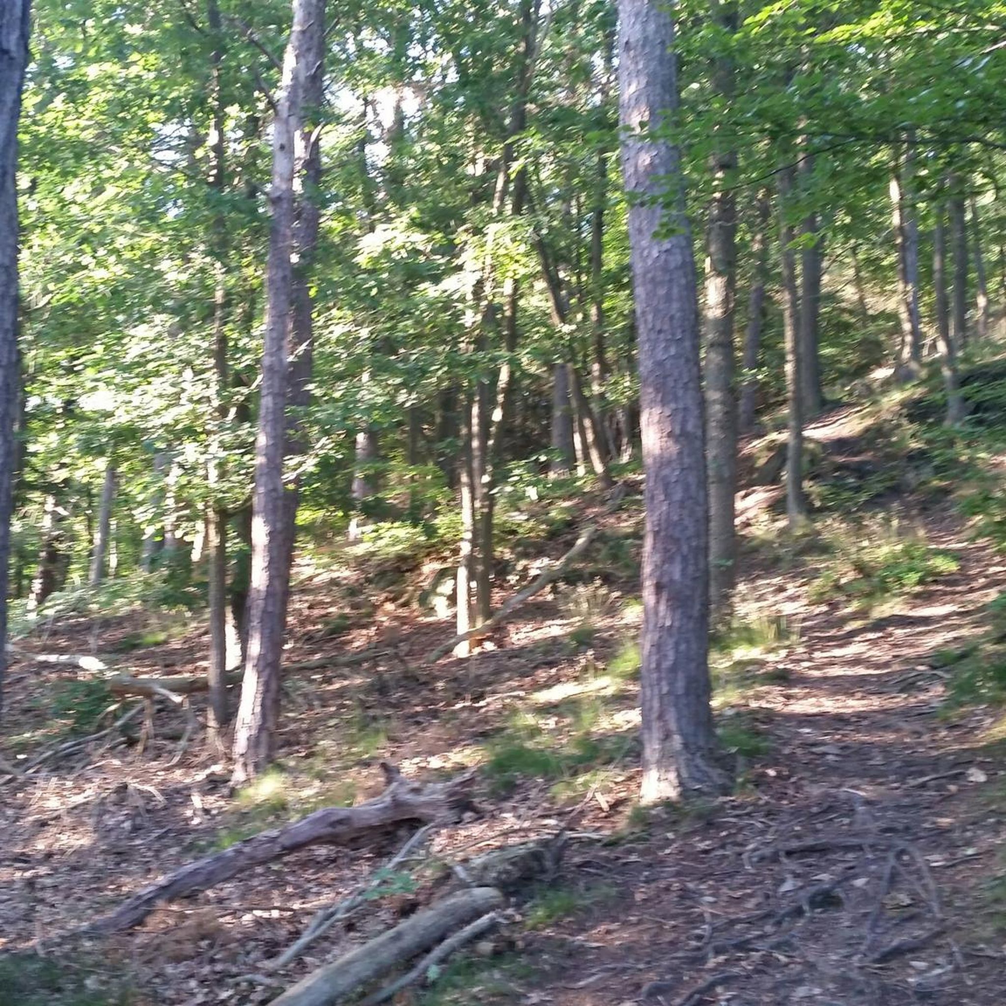
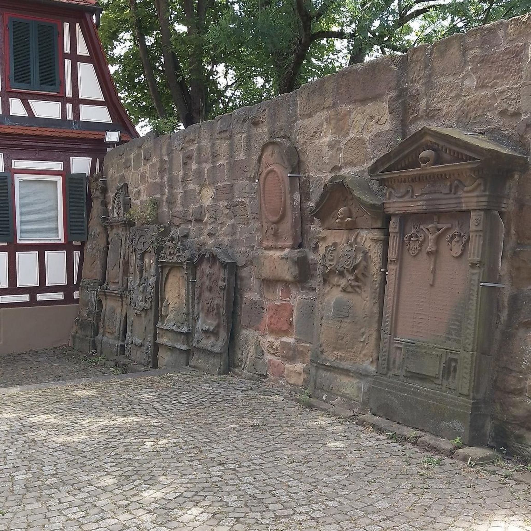
Tips from the Community

Simply Magnificent!
0
0
Beautiful tiny chapel
0
0

The Libouze plateau offers a magnificent natural heritage. Here you find a water reservoir intended for the production of artificial snow. The plateau is equipped and picnic tables are accessible.
0
0
Frequently Asked Questions
How many hiking trails are there in Saint-Léger-Les-Mélèzes?
There are over 190 hiking routes around Saint-Léger-Les-Mélèzes, offering a wide range of options from easy walks to more challenging mountain treks. You'll find 56 easy routes, 108 moderate, and 34 difficult trails.
What is the best time of year for hiking in Saint-Léger-Les-Mélèzes?
Saint-Léger-Les-Mélèzes benefits from a sunny, dry climate, making the warmer months ideal for hiking. Spring and particularly summer offer pleasant conditions to explore the larch forests and mountain panoramas. Autumn also provides beautiful scenery as the larches change color.
What do other hikers enjoy the most about hiking in Saint-Léger-Les-Mélèzes?
The area is highly rated by the komoot community, with an average score of 4.5 stars from over 900 reviews. Hikers often praise the diverse terrain, stunning mountain panoramas, and the beauty of the larch forests. Many appreciate the variety of routes, from gentle strolls to more demanding ascents.
Are there easy hiking trails suitable for beginners or families?
Yes, Saint-Léger-Les-Mélèzes offers many easy trails perfect for beginners and families. An excellent option is the Château de Saint-Léger loop from Saint-Léger-les-Mélèzes, an easy 3.6-mile path that explores the village surroundings and its historical château. The village also has a Discovery Trail designed for families to explore local biodiversity.
What kind of terrain can I expect on hikes around Saint-Léger-Les-Mélèzes?
You can expect diverse terrain, from picturesque larch forests, which give the village its name, to open meadows and mountain paths. Many routes offer panoramic views over the Champsaur Valley and towards the Dévoluy massif. Being on the edge of the Écrins National Park, the landscape is rich in natural beauty.
Are there any circular hiking routes in Saint-Léger-Les-Mélèzes?
Yes, many routes are designed as loops. For a moderate circular hike, consider the Plateau de Libouze loop from Saint-Léger-les-Mélèzes, which is 5.2 miles long and offers beautiful panoramas through larch forests. Another easy option is the Viewpoint loop from Saint-Léger-les-Mélèzes, covering 3.8 miles with varied terrain.
Are there any waterfalls to see on the trails around Saint-Léger-Les-Mélèzes?
Yes, the region features natural attractions including waterfalls. You can find the beautiful Cascade de la Pisse, which is a notable natural monument in the area and can be incorporated into longer hikes.
What kind of wildlife can I spot while hiking in the area?
Given its proximity to the Écrins National Park, the area is rich in wildlife. Hikers often spot chamois, marmots, deer, and various bird species like eagles. Squirrels and wild boar are also present, especially in the forested areas. The diverse flora includes edelweiss, gentians, and rhododendrons.
Are there specific viewpoints or landmarks to look out for on hikes?
Absolutely. The Col de Moissière (1573 m) offers a fabulous panorama at its summit. For a more challenging landmark, the impressive Pic du Vieux Chaillol (3,163 m) is a significant feature, providing a goal for experienced trekkers. The Plateau de Libouze also provides super panoramas across the Champsaur.
Is parking available for hikers at trailheads?
Yes, parking is generally available in and around Saint-Léger-Les-Mélèzes, especially near popular trailheads and the village center. It's advisable to check specific starting points for larger routes, but many areas are well-equipped for visitors arriving by car.
Are dogs allowed on the hiking trails in Saint-Léger-Les-Mélèzes?
Many trails in the Saint-Léger-Les-Mélèzes area are dog-friendly. However, as the region borders the Écrins National Park, it's important to be aware of specific regulations within the park's core zone where dogs may be restricted or required to be on a leash to protect wildlife. Always check local signage.
Are there challenging hikes for experienced trekkers?
Yes, for experienced trekkers, the region offers more strenuous and technical alpine routes. The impressive Pic du Vieux Chaillol (3,163 m) is a significant landmark that provides a challenging long-distance hike. The area has 34 difficult routes, ensuring options for those seeking a greater challenge.
Most popular routes around Saint-Léger-Les-Mélèzes
Most popular attractions around Saint-Léger-Les-Mélèzes

Get inspired with the komoot mobile app


Explore more
Browse the best Hikes in other regions.
