The best road cycling routes around Doizieux
4.4
(337)
6,271
riders
162
rides
Road cycling around Doizieux features a landscape characterized by significant elevation changes, including numerous passes and valleys. The region offers varied terrain, from challenging climbs to more moderate routes winding through natural areas. Road cyclists can expect to encounter features such as dams, viaducts, and scenic viewpoints. This area provides a diverse environment for road cycling, with routes that traverse both open and forested sections.
Best road cycling routes around Doizieux
- The most popular road cycling route is Régis Cross…
Last updated: October 5, 2026
5.0
(4)
88
riders
34.7km
01:51
670m
670m
Moderate road ride. Good fitness required. Mostly well-paved surfaces and easy to ride.
4.7
(3)
26
riders
45.4km
02:23
870m
870m
Moderate road ride. Good fitness required. Mostly well-paved surfaces and easy to ride.

3.0
(1)
24
riders
51.0km
02:49
1,080m
1,080m
Hard road ride. Very good fitness required. Mostly well-paved surfaces and easy to ride.
4.0
(1)
17
riders
72.3km
03:23
700m
690m
Moderate road ride. Good fitness required. Some segments of this route may be unpaved and difficult to ride.
14
riders
23.0km
01:29
650m
640m
Moderate road ride. Good fitness required. Some segments of this route may be unpaved and difficult to ride.
Get access to more routes and recommendations from other explorers.
Already have an account?
Our route recommendations are based on thousands of hikes, rides, and runs completed by other people on komoot.
Start today with a free account
Your next adventure awaits.


Tips from the Community

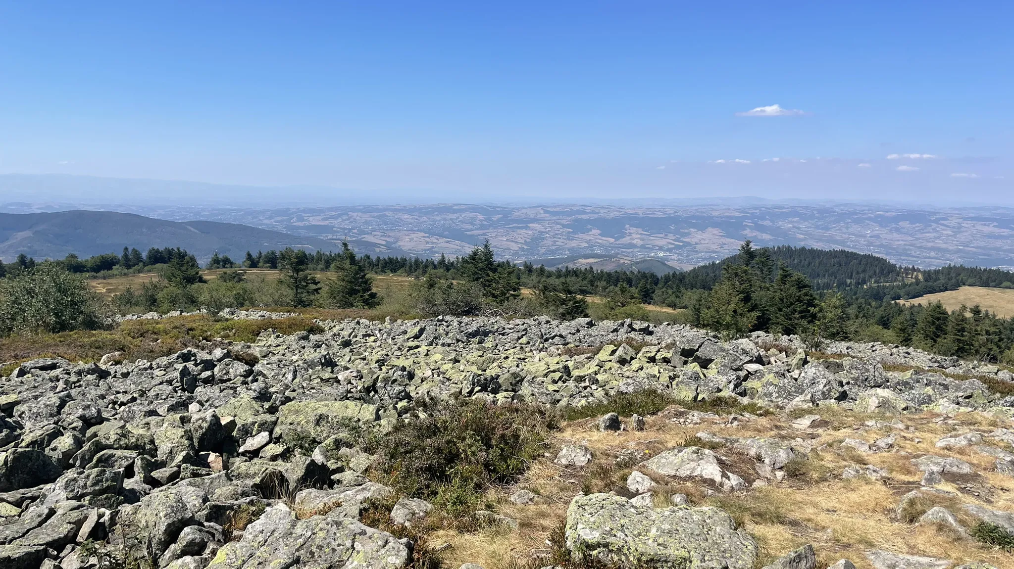
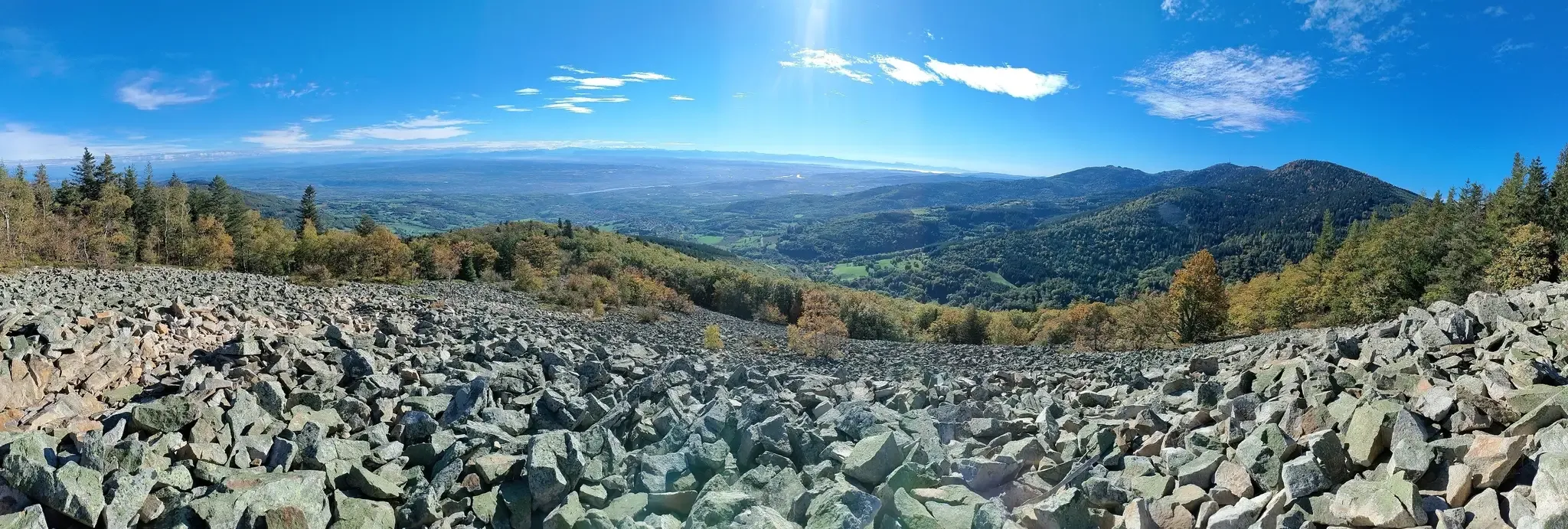
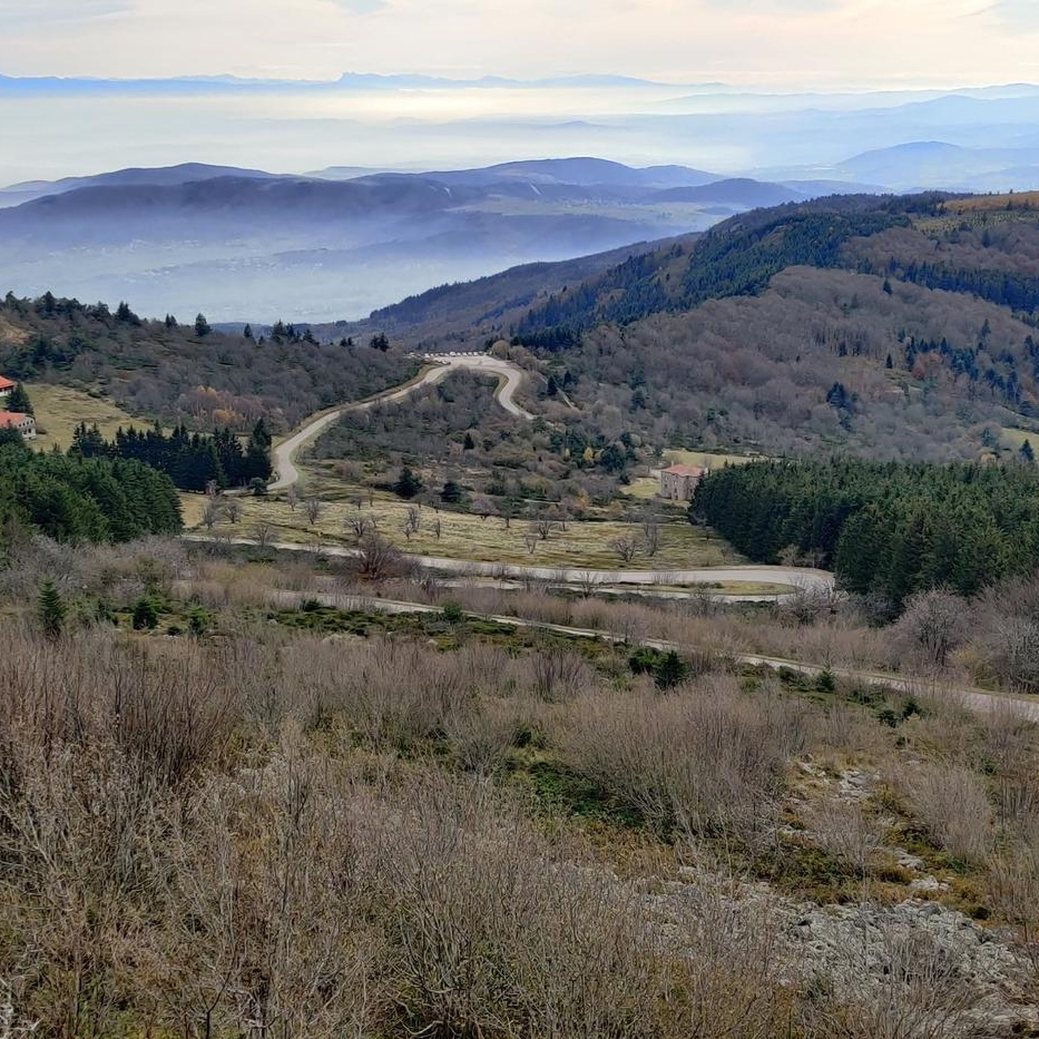
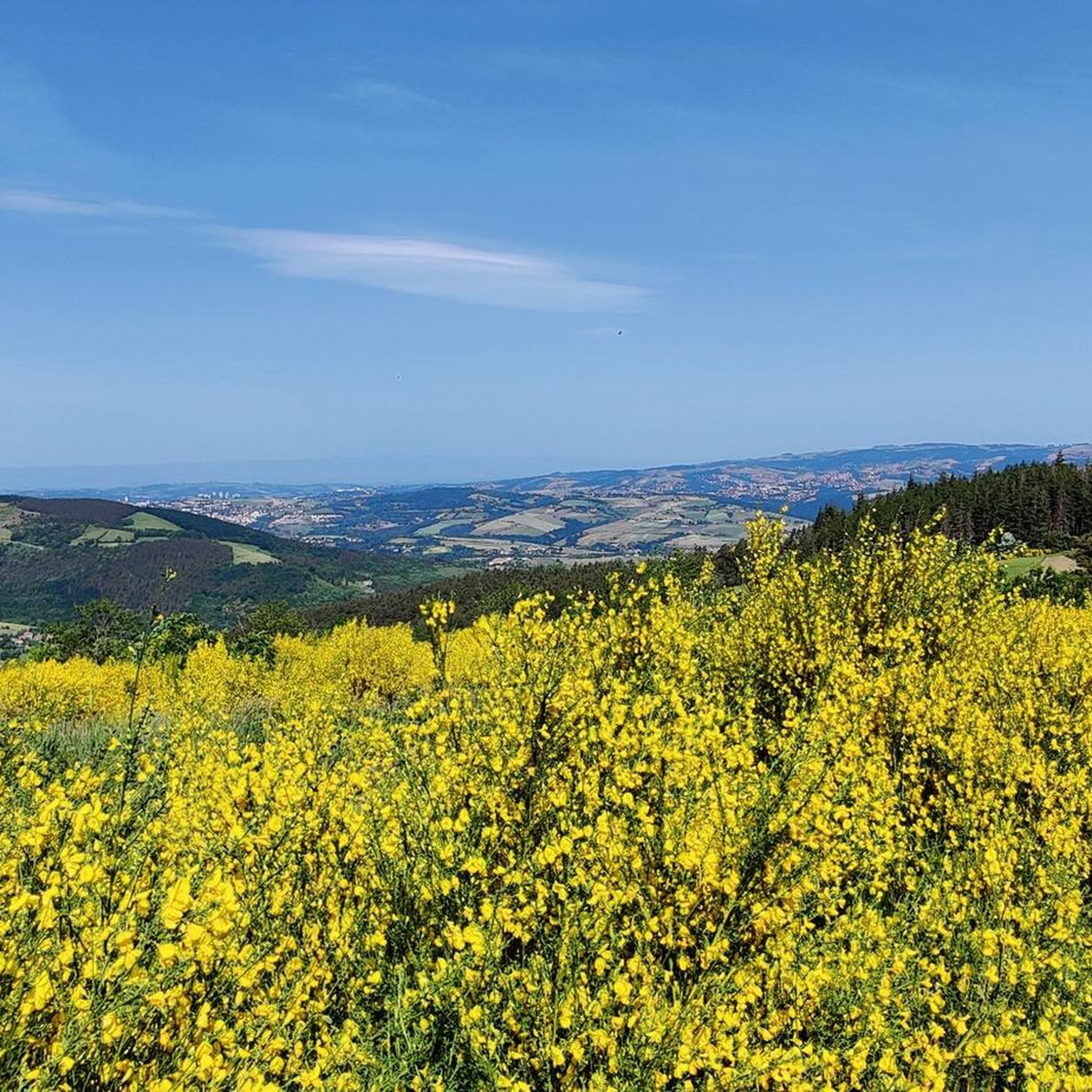
The Col de Pavezin is certainly not the highest, but it is no less mythical. The inventor of the derailleur, Paul de Vivié, who settled here, made it an unmissable rendezvous. The pass is located between the Rhône valley and the Gier valley, and opens up a grandiose panorama of the Alps and the Rhône furrow.
0
0

In the middle of the wide Rhône, small islands have formed behind a rapid, providing an ideal refuge for flora and fauna.
0
0

Very nice climb from Sainte-Croix-en-Jarez for example!
0
0

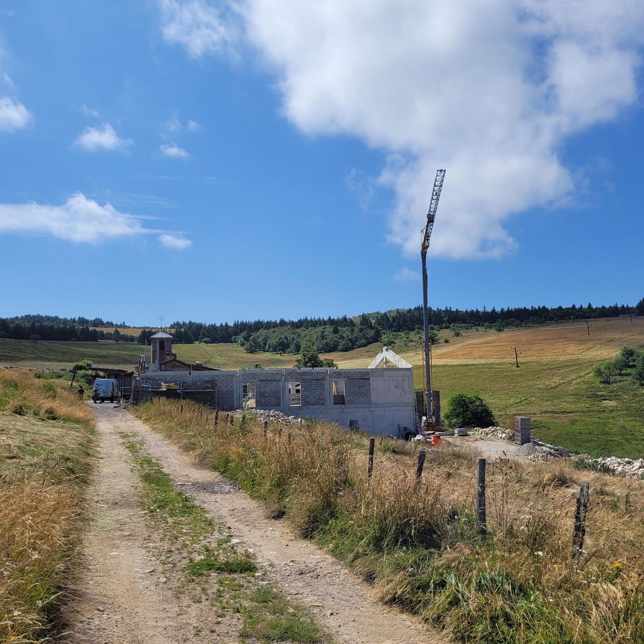
on the watershed between the ocean and the Mediterranean
0
0

Nice route, watch out for the heat in summer...
0
0

Frequently Asked Questions
What kind of terrain can I expect when road cycling around Doizieux?
Road cycling around Doizieux is characterized by significant elevation changes, including numerous passes and valleys. You'll encounter varied terrain, from challenging climbs to more moderate routes winding through natural areas, often featuring dams, viaducts, and scenic viewpoints.
How many road cycling routes are available in the Doizieux area?
There are over 150 road cycling routes around Doizieux, offering a wide range of options for different skill levels. This includes approximately 10 easy routes, 88 moderate routes, and 58 difficult routes.
Are there any easy road cycling routes suitable for beginners in Doizieux?
Yes, Doizieux offers about 10 easy road cycling routes. While the region is generally hilly, these routes are designed to be less demanding, providing a good starting point for beginners to enjoy the scenic landscape without excessive climbing.
What are some challenging road cycling routes for experienced riders in Doizieux?
For experienced cyclists seeking a challenge, Doizieux has approximately 58 difficult routes. These often feature significant climbs and elevation gains, such as the Dam – Pavezin Pass loop from Doizieux, which includes substantial ascents towards Pavezin Pass, or the Chaubouret Cross – Col de l'Œillon (1233 m) loop from Pélussin, known for its considerable elevation gain.
What is the typical length and duration of road cycling routes in Doizieux?
Routes vary in length and duration. For example, a moderate route like the Régis Cross – View of the Rhône loop from Pélussin is about 40 miles (64.5 km) and takes nearly 3 hours. More challenging routes can be similar in distance but take longer due to elevation, while others might be shorter but still demanding.
Are there any circular road cycling routes around Doizieux?
Many of the road cycling routes in Doizieux are designed as loops, allowing you to start and finish in the same location. Examples include the popular Régis Cross – View of the Rhône loop from Pélussin and the challenging Dam – Pavezin Pass loop from Doizieux.
What can I see along the road cycling routes in Doizieux?
Road cycling routes in Doizieux offer diverse scenery. You can expect to see natural features like the Gouffre d'Enfer Dam and the Col de l'Œillon (1233 m). Some routes also pass by historical sites such as Rochetaillée Castle, offering a mix of natural beauty and cultural interest.
What do other road cyclists enjoy most about road cycling in Doizieux?
The Doizieux area is highly rated by the komoot community, with an average score of 4.5 stars from over 240 reviews. Cyclists often praise the varied terrain, the challenging climbs, and the expansive views, particularly those overlooking the Rhône valley.
Are there any specific viewpoints or scenic spots along the routes?
Yes, the region is known for its scenic viewpoints. Many routes offer expansive views of the Rhône valley, and you'll encounter passes like the Col de l'Œillon (1233 m) and summits such as the Crêt de l'Œillon, which provide stunning panoramas.
Is public transport available to access road cycling routes in Doizieux?
While Doizieux itself is a smaller commune, nearby larger towns like Pélussin may offer limited public transport connections. It's advisable to check local bus schedules if you plan to use public transport to reach your starting point, as direct access to all routeheads might be challenging.
What is the best season for road biking in Doizieux?
The best season for road biking in Doizieux is typically from spring through early autumn (April to October). During these months, the weather is generally milder, and the passes are clear of snow, offering optimal conditions for enjoying the region's diverse terrain and scenic beauty.
Are there any routes that pass by dams or lakes?
Yes, several routes incorporate the region's natural dam areas and lakes. For instance, the Pélussin Viaduct – Ternay Dam and Lake loop from Pélussin leads through areas around Ternay Dam and Lake, offering picturesque views of these water features.
Most popular attractions around Doizieux

Get inspired with the komoot mobile app


Explore more
Browse the best Road cycling routes in other regions.
