The best running trails around Belmont
4.4
(59)
1,928
runners
27
runs
Jogging around Belmont offers a diverse range of outdoor experiences, characterized by varied terrain and significant elevation changes. The region features challenging routes that ascend through landscapes with panoramic views and notable rock formations. Many trails traverse natural areas, providing opportunities for trail running on singletrack paths and through forested sections. The area's geography supports both demanding long-distance runs and shorter, more accessible jogging routes.
Best jogging routes around Belmont
- The most popular jogging route is Col de la Perheux…
Last updated: November 4, 2026
4.5
(2)
250
runners
29.0km
03:52
1,100m
1,100m
Hard run. Very good fitness required. Mostly paved surfaces.
5.0
(1)
144
runners
14.4km
01:53
510m
510m
Hard run. Very good fitness required. Mostly paved surfaces.

5.0
(1)
23
runners
15.1km
01:49
280m
280m
Hard run. Very good fitness required. Mostly paved surfaces.
68
runners
Hard run. Very good fitness required. Mostly paved surfaces.
4.0
(1)
21
runners
10.9km
01:30
430m
430m
Hard run. Very good fitness required. Mostly paved surfaces.
Get access to more routes and recommendations from other explorers.
Already have an account?
Our route recommendations are based on thousands of hikes, rides, and runs completed by other people on komoot.
Start today with a free account
Your next adventure awaits.



Tips from the Community

Very good place to stop for refreshments!
0
0

The Cascade de la Serva is located in the Vosges in Alsace, near the Champ du Feu. The stream La Serva originates there at an altitude of over 1000 m in the moor and forest areas of the high plateau. On its approximately 3 km long course, it flows through dense Vosges forest and forms the well-known Cascade de la Serva with several natural waterfall cascades, before later flowing into the Rothaine.
0
0
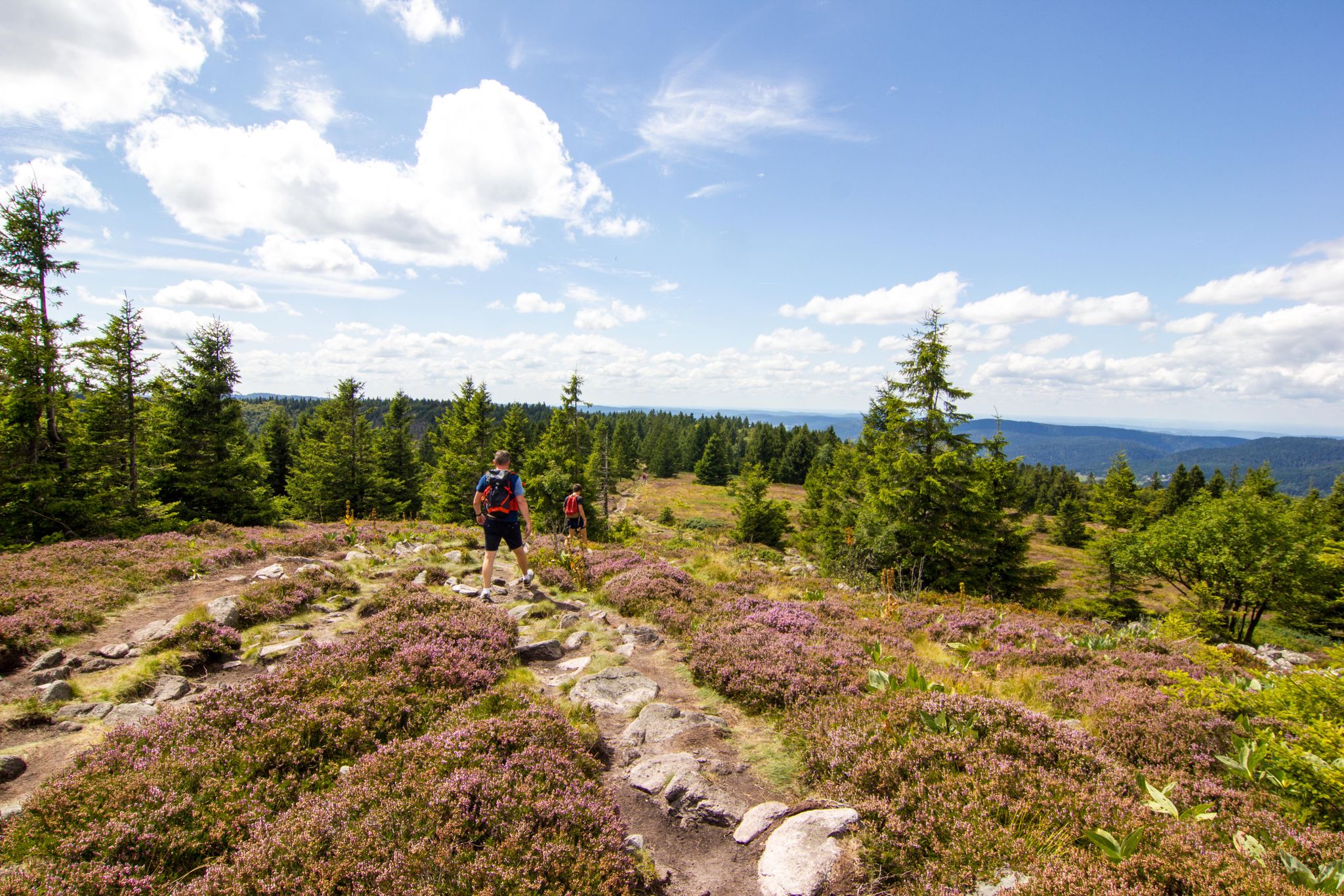
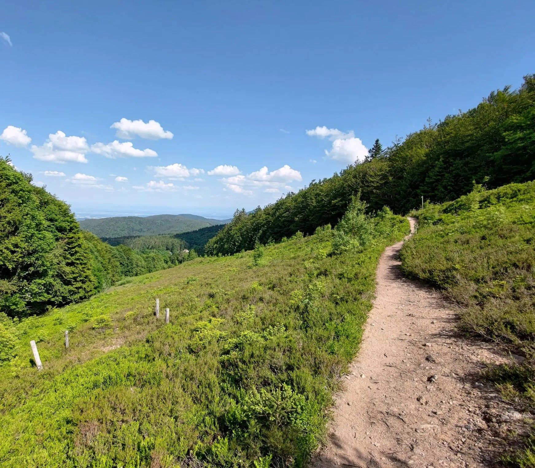
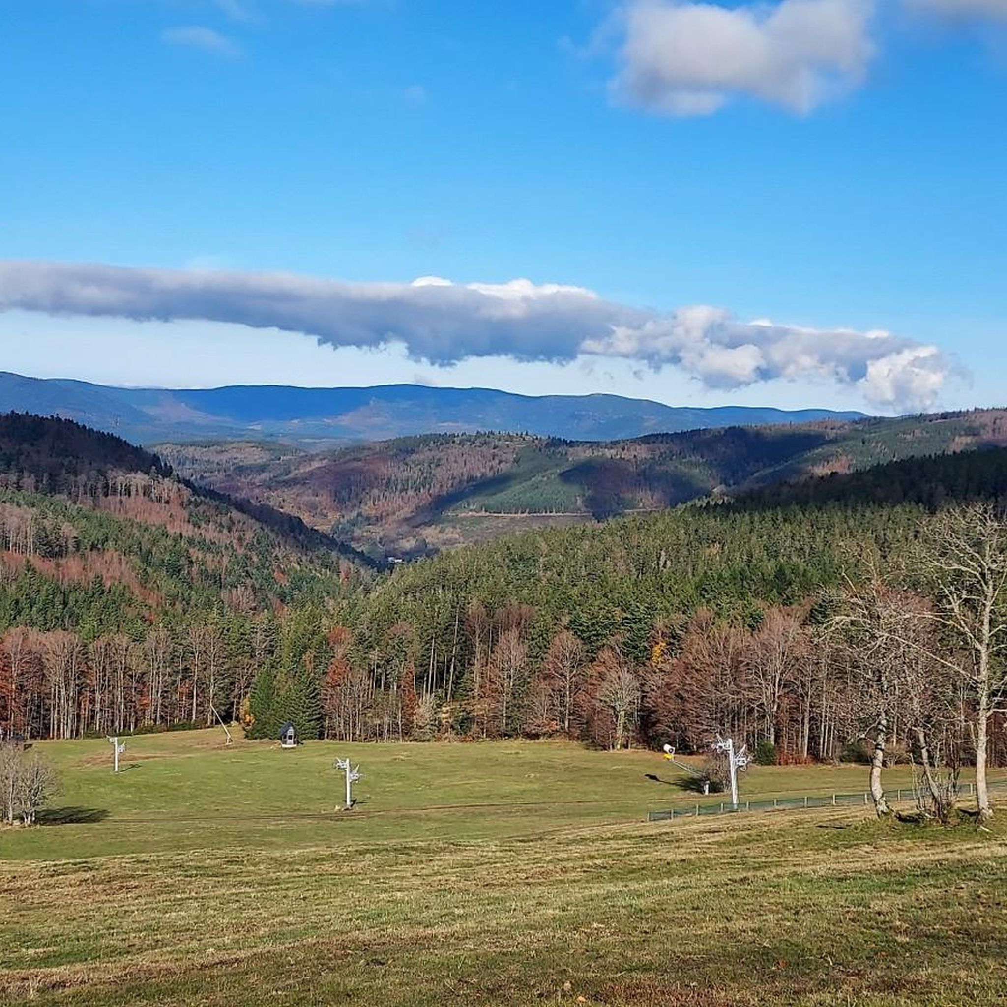
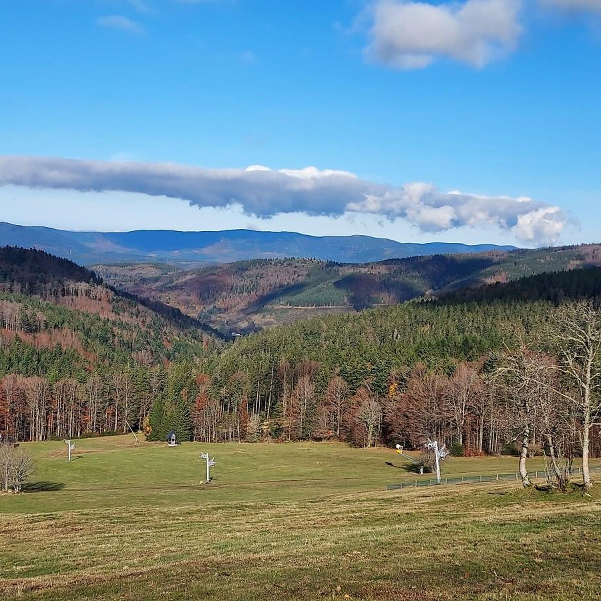
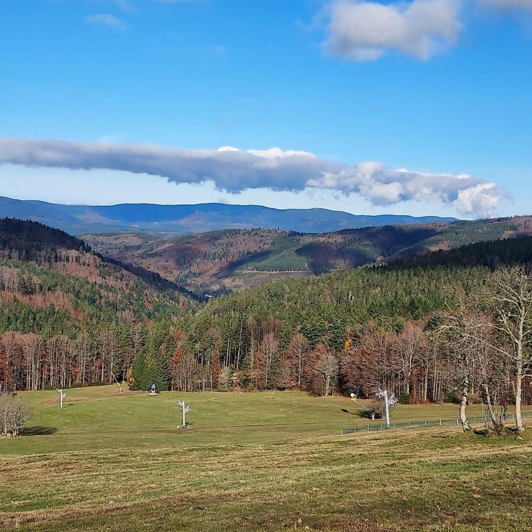
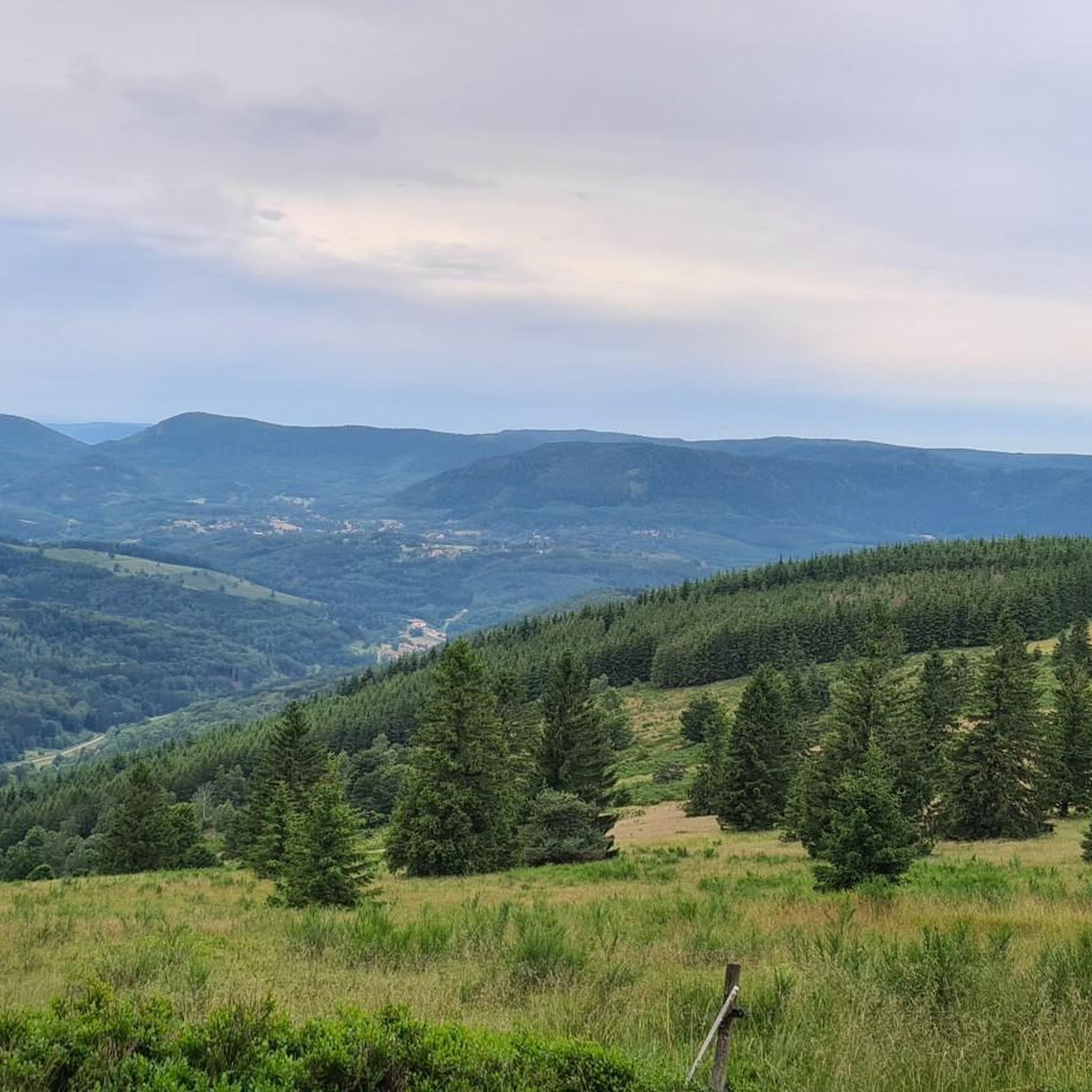
Champ du Feu, at 1099 meters, is the highest mountain in the Bas-Rhin department of the Vosges in Alsace. It is located between the villages of Belmont and Le Hohwald and consists of an extensive high plateau with forests, meadows, and moorlands. The area is a popular nature and recreational area. In summer, it is mainly used for hiking, mountain biking, and nature observation. In winter, there is a small ski resort with cross-country trails and simple slopes for winter sports. The stream La Serva originates from Champ du Feu and later forms the Cascade de la Serva. In clear weather, the summit offers wide views over the Vosges, the Rhine plain, and as far as the Black Forest. The area is particularly known for its tranquil nature, high moors, sunrises and starry skies, as well as well-marked hiking trails.
0
0
Champ du Feu, at 1099 meters, is the highest mountain in the Bas-Rhin department of the Vosges in Alsace. It lies between the towns of Belmont and Le Hohwald and consists of an extensive high plateau with forests, meadows, and moorlands. The area is a popular nature and recreational area. In summer, it is mainly used for hiking, mountain biking, and nature observation. In winter, there is a small ski area with cross-country trails and simple slopes for winter sports. The brook La Serva originates from Champ du Feu, later forming the Cascade de la Serva. In clear weather, the summit offers wide views over the Vosges, the Rhine plain, and as far as the Black Forest. The area is particularly known for its tranquil nature, high moors, sunrises and starry skies, as well as well-marked hiking trails.
0
0


Possible origins of the name: Celtic rituals: It is believed that solstice and sacrificial fires were lit here in Celtic times. Charcoal burners' fire: The "fire" could also refer to the fires lit by charcoal burners in the surrounding forests of the Vosges Mountains. Cattle pasture: A popular theory states that the French word "feu" is a corruption of the German word "Vieh," meaning "field of cattle," as it was a sparsely wooded plateau where cattle could graze. Text from the Internet
1
0

The kitchen had already closed at 3 p.m. on Sunday afternoon, so there were no hot or cold food left. Only cake and ice cream, but that was good. 💲💲Cash only. 💲💲
0
0
Frequently Asked Questions
How many running routes are available in Belmont?
Belmont offers a diverse selection of over 25 running routes, catering to various fitness levels and preferences. These routes feature varied terrain, from challenging climbs to scenic singletrack paths.
Are there any easy jogging routes for beginners in Belmont?
Yes, Belmont features 3 easy jogging routes perfect for beginners or those looking for a less strenuous run. These trails provide a great way to experience the region's natural beauty without significant elevation challenges.
Can I find moderate running trails in Belmont?
Absolutely. Belmont is home to 12 moderate running trails, offering a balanced challenge for intermediate runners. These routes often include varied terrain and some elevation changes, providing a rewarding workout.
What kind of scenery can I expect on Belmont's jogging routes?
Jogging routes in Belmont are known for their panoramic countryside views, especially from higher elevations. You'll encounter diverse natural landscapes, including forested sections, rock formations, and varied singletrack paths. The region's geography provides a rich visual experience for runners.
Are there any circular running routes in Belmont?
Yes, many of Belmont's running routes are designed as loops, allowing you to start and finish at the same point. For example, the Col de la Perheux – Col de la Perheux loop from Belmont is a challenging 20.1-mile circular route, and the Champ du Feu Monoliths loop from Réserve biologique dirigée du Champ du Feu offers a moderate 6.2-mile option.
What are some notable natural landmarks or attractions to see while running in Belmont?
Belmont's routes offer access to several natural highlights. You might encounter the Hohwald waterfall, the serene Saint Odile's Spring, or the impressive Rocher des Géants. The Au Champ du Feu – Champ du Feu Monoliths loop from Belmont specifically leads through the unique Champ du Feu Monoliths.
What do other runners enjoy most about jogging in Belmont?
The komoot community highly rates Belmont's running trails, with an average score of 4.4 stars from over 30 reviews. Runners often praise the challenging climbs, the rewarding panoramic views, and the varied singletrack paths that make for an engaging and diverse running experience.
Are there any routes that offer significant elevation gain for a challenging workout?
Belmont is well-known for its challenging routes with substantial elevation gain. The Col de la Perheux – Col de la Perheux loop from Belmont, for instance, features over 4,000 feet of ascent over 20.1 miles, providing a significant test for experienced runners.
What is the typical length and duration of running routes in Belmont?
Running routes in Belmont vary widely in length and duration. You can find shorter runs like the 6.2-mile Champ du Feu Monoliths loop, which takes about 1 hour 13 minutes, up to longer, more demanding trails such as the 20.1-mile Col de la Perheux – Col de la Perheux loop, typically completed in around 4 hours 18 minutes.
Are there any running routes that pass through mountain passes in Belmont?
Yes, the region around Belmont features several mountain passes that can be incorporated into running routes. Notable passes include Charbonnière Pass, Kreuzweg Pass, Col de Steige, and Salcée Pass, offering unique terrain and views for runners.
What kind of terrain can I expect on the running trails?
Belmont's running trails feature a variety of terrain, including challenging climbs, descents, and varied singletrack paths. Many routes traverse natural areas and forested sections, providing a mix of surfaces from dirt paths to rocky sections, characteristic of mountain and forest environments.
Most popular attractions around Belmont

Get inspired with the komoot mobile app


Explore more
Browse the best Running Trails & Routes in other regions.
