The best running trails around Bellefosse
4.1
(93)
4,187
runners
297
runs
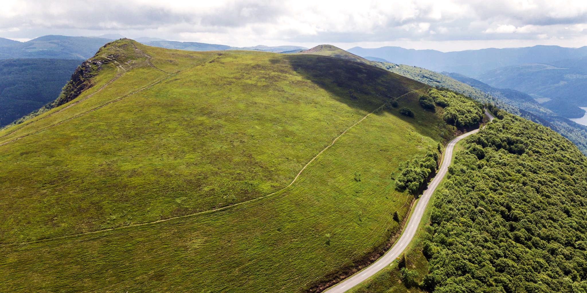
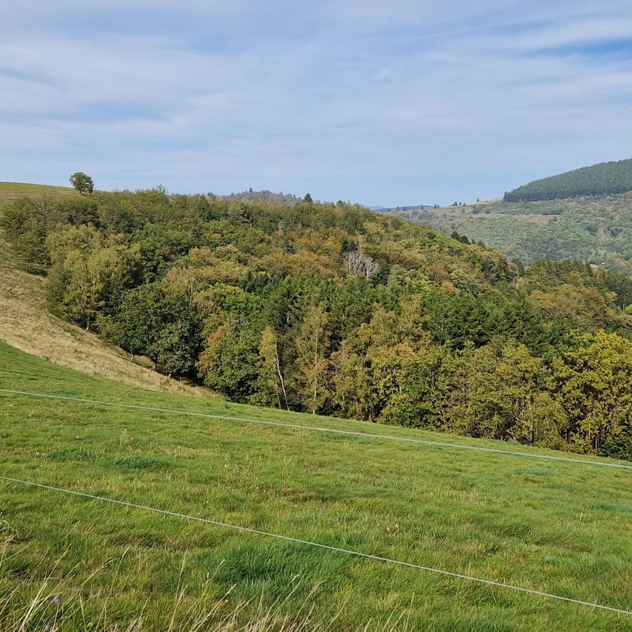
Jogging routes around Bellefosse are set within the diverse landscapes of the Vosges mountains, offering varied terrains for outdoor activities. The region features extensive trail networks, from the elevated vistas of the Champ du Feu to serene forest paths and valleys. These natural features create a compelling environment for running, with routes suitable for various fitness levels.
Best jogging routes around Bellefosse
- The most popular jogging route is Col de la Perheux – Col de la Perheux loop from Belmont…
Last updated: September 24, 2026
4.5
(2)
250
runners
29.0km
03:52
1,100m
1,100m
Hard run. Very good fitness required. Mostly paved surfaces. Suitable for all skill levels.
112
runners
14.4km
01:53
510m
510m
Hard run. Very good fitness required. Mostly paved surfaces. Suitable for all skill levels.

5.0
(1)
45
runners
15.1km
01:49
280m
280m
Hard run. Very good fitness required. Mostly paved surfaces. Suitable for all skill levels.
28
runners
Moderate run. Good fitness required. Mostly paved surfaces. Suitable for all skill levels.
4.0
(1)
21
runners
10.9km
01:30
430m
430m
Hard run. Very good fitness required. Mostly paved surfaces. Suitable for all skill levels.
Get access to more routes and recommendations from other explorers.
Already have an account?
Our route recommendations are based on thousands of hikes, rides, and runs completed by other people on komoot.
Start today with a free account
Your next adventure awaits.

Other adventures around Bellefosse

Tips from the Community

Very good place to stop for refreshments!
0
0

The Cascade de la Serva is located in the Vosges in Alsace, near the Champ du Feu. The stream La Serva originates there at an altitude of over 1000 m in the moor and forest areas of the high plateau. On its approximately 3 km long course, it flows through dense Vosges forest and forms the well-known Cascade de la Serva with several natural waterfall cascades, before later flowing into the Rothaine.
0
0
Champ du Feu, at 1099 meters, is the highest mountain in the Bas-Rhin department of the Vosges in Alsace. It is located between the villages of Belmont and Le Hohwald and consists of an extensive high plateau with forests, meadows, and moorlands. The area is a popular nature and recreational area. In summer, it is mainly used for hiking, mountain biking, and nature observation. In winter, there is a small ski resort with cross-country trails and simple slopes for winter sports. The stream La Serva originates from Champ du Feu and later forms the Cascade de la Serva. In clear weather, the summit offers wide views over the Vosges, the Rhine plain, and as far as the Black Forest. The area is particularly known for its tranquil nature, high moors, sunrises and starry skies, as well as well-marked hiking trails.
0
0
Champ du Feu, at 1099 meters, is the highest mountain in the Bas-Rhin department of the Vosges in Alsace. It lies between the towns of Belmont and Le Hohwald and consists of an extensive high plateau with forests, meadows, and moorlands. The area is a popular nature and recreational area. In summer, it is mainly used for hiking, mountain biking, and nature observation. In winter, there is a small ski area with cross-country trails and simple slopes for winter sports. The brook La Serva originates from Champ du Feu, later forming the Cascade de la Serva. In clear weather, the summit offers wide views over the Vosges, the Rhine plain, and as far as the Black Forest. The area is particularly known for its tranquil nature, high moors, sunrises and starry skies, as well as well-marked hiking trails.
0
0


Possible origins of the name: Celtic rituals: It is believed that solstice and sacrificial fires were lit here in Celtic times. Charcoal burners' fire: The "fire" could also refer to the fires lit by charcoal burners in the surrounding forests of the Vosges Mountains. Cattle pasture: A popular theory states that the French word "feu" is a corruption of the German word "Vieh," meaning "field of cattle," as it was a sparsely wooded plateau where cattle could graze. Text from the Internet
1
0

The kitchen had already closed at 3 p.m. on Sunday afternoon, so there were no hot or cold food left. Only cake and ice cream, but that was good. 💲💲Cash only. 💲💲
0
0
Frequently Asked Questions
How many running trails are available around Bellefosse?
Bellefosse offers a wide network of outdoor paths, with over 270 running routes available. These trails are set within the diverse landscapes of the Vosges mountains, providing varied terrains for all levels of runners.
Are there running routes suitable for beginners or those looking for an easy jog?
Yes, Bellefosse has options for all fitness levels. There are 12 easy running routes, perfect for beginners or those seeking a more relaxed pace. These trails often wind through serene forests and meadows, offering a gentle introduction to the region's natural beauty.
What options are available for experienced runners seeking a challenging workout?
For experienced runners, Bellefosse provides ample challenges with 151 difficult routes. These trails often feature significant elevation gains, particularly around the Vosges mountains and the Champ du Feu. A notable challenging route is Col de la Perheux – Col de la Perheux loop from Belmont, which spans over 20 miles with substantial climbing.
What natural features or landmarks can I expect to see on a run near Bellefosse?
The region is rich in natural beauty and historical sites. You can run through the vast forests of the Vosges mountains, experience the breathtaking views from the Champ du Feu, or pass by the Château de la Roche. The Serva Waterfall and various streams also add to the scenic appeal of many routes.
Are there any circular running routes in the Bellefosse area?
Yes, many of the running routes around Bellefosse are circular, allowing you to start and finish at the same point. For example, the La Charbonnière Inn – Charbonnière Pass loop from Col de la Charbonnière is a moderate 5.7-mile circular trail that offers varied terrain and scenic views.
What do other runners enjoy most about jogging in Bellefosse?
The running trails in Bellefosse are highly rated by the komoot community, with an average score of 4.3 stars from over 50 reviews. Runners frequently praise the diverse landscapes, from challenging mountain paths to serene forest trails, and the well-maintained network of paths that cater to various fitness levels.
Can I find routes that offer panoramic views?
Absolutely. The Bellefosse region, situated within the Vosges mountains, is known for its stunning vistas. Routes around the Champ du Feu, the highest peak in the Bas-Rhin, and the Col de la Charbonnière offer expansive views of the surrounding peaks, valleys, and gorse heathland.
Are there any running routes that pass by historical sites?
Yes, you can combine your run with a touch of history. Some trails lead to historical sites like the ruins of Château de la Roche, also known as 'zum Stein' or 'Steinschloss'. These routes offer splendid views of the valley while allowing you to explore the region's past.
What is the best time of year for running in Bellefosse?
The diverse landscapes of Bellefosse make it suitable for running throughout much of the year. Spring and autumn offer pleasant temperatures and vibrant scenery. Summer is also great, especially for higher altitude trails. Winter running is possible, but conditions can be challenging, particularly on higher peaks like the Champ du Feu, where snow and ice may be present.
Are the running trails in Bellefosse well-maintained and easy to navigate?
Many trails in the Vosges mountains, including those around Bellefosse, are managed and maintained by the Club Vosgien. This ensures a network of over 20,000 km of signposted paths, making them generally clear and accessible for runners. Komoot also provides detailed route information and navigation to help you stay on track.
Are there any specific routes that are particularly scenic or considered 'hidden gems'?
While many routes offer beauty, the trails through the Chirgoutte valley are particularly scenic, alternating between forest, pastures, and heathland, with views of the Donon and Climont mountains. Exploring the less-trafficked paths around the Col de la Charbonnière can also reveal stunning, quieter sections.
Most popular routes around Bellefosse
Most popular attractions around Bellefosse

Get inspired with the komoot mobile app


Explore more
Browse the best Running Trails & Routes in other regions.
