The best MTB trails around Cherier
4.4
(139)
664
riders
114
rides
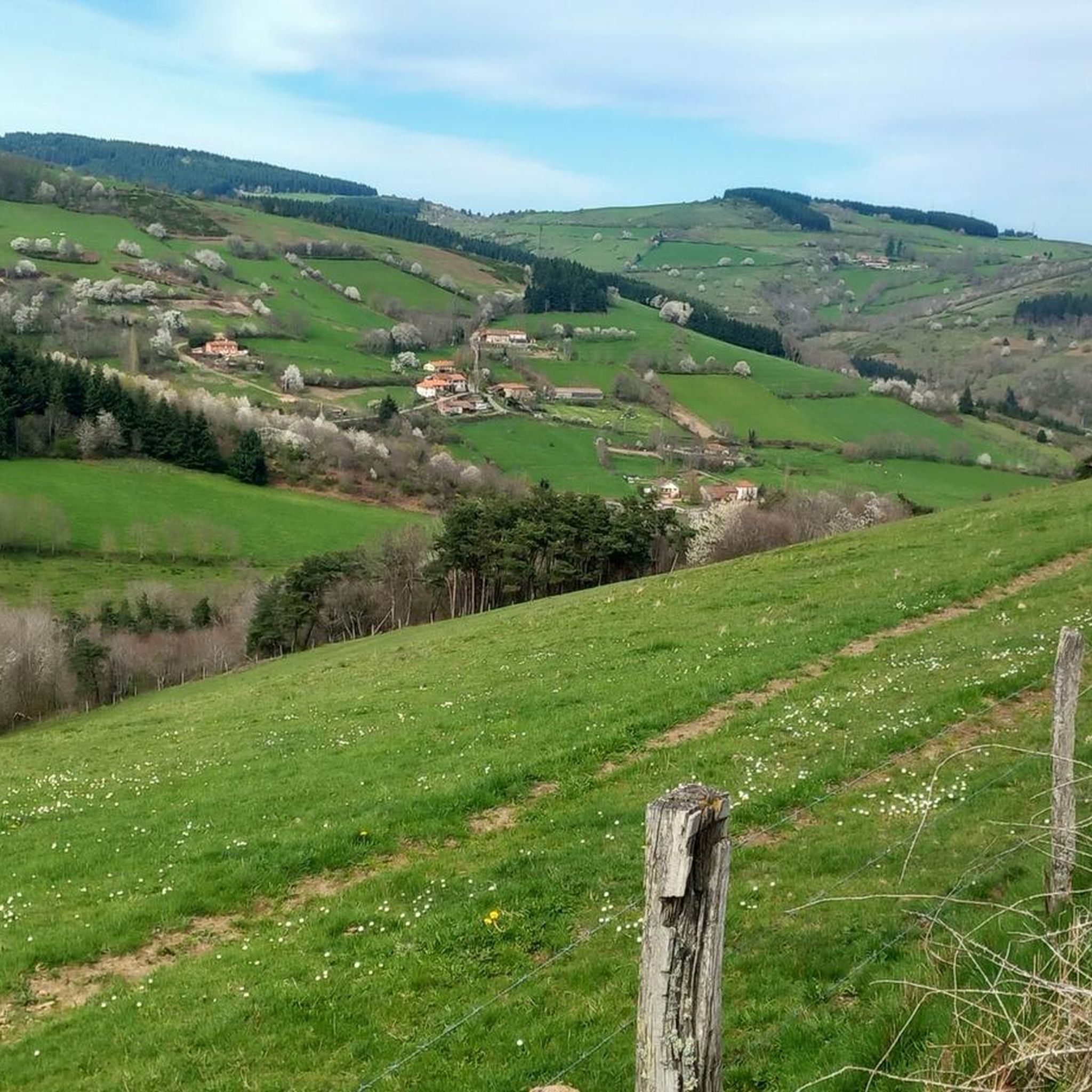
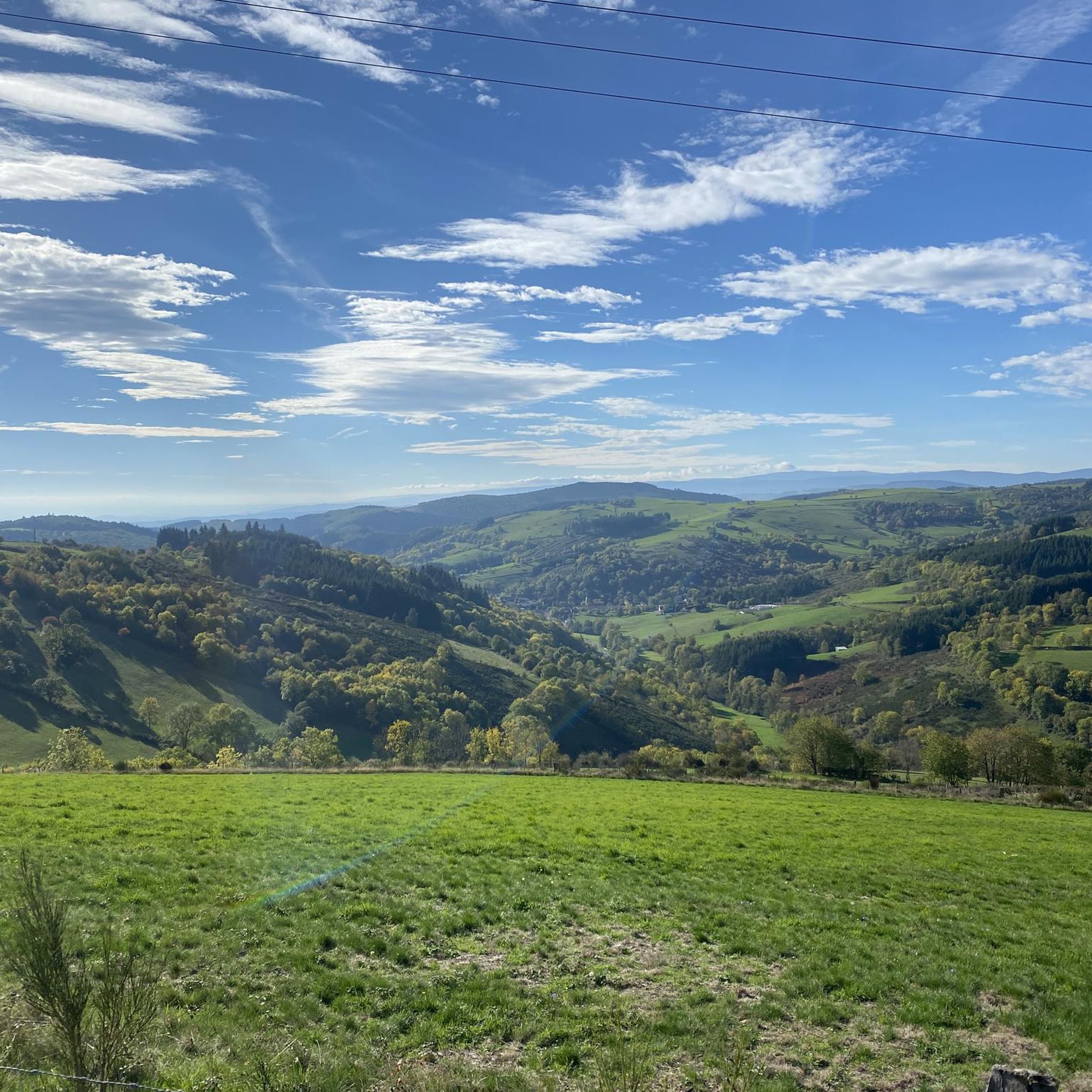
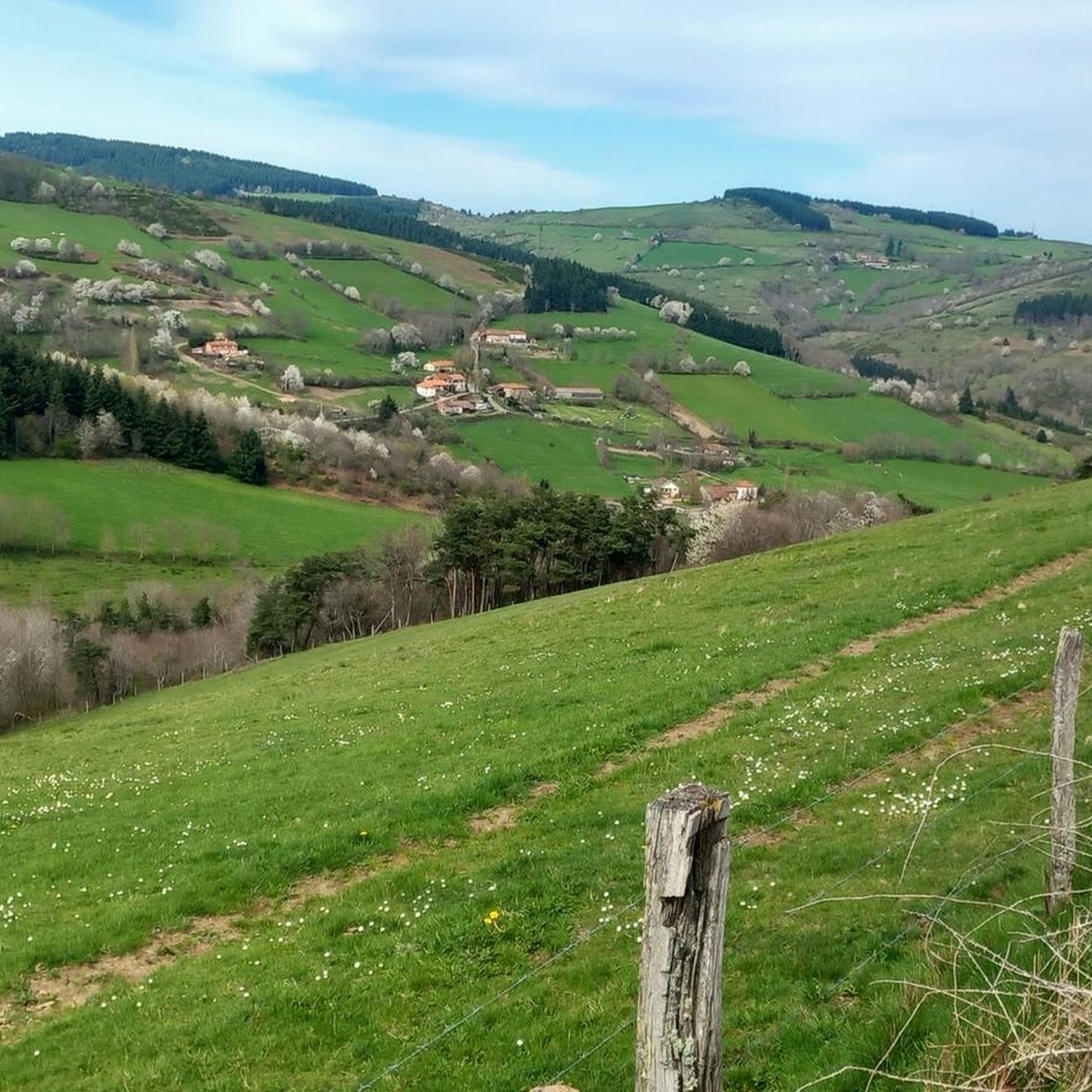
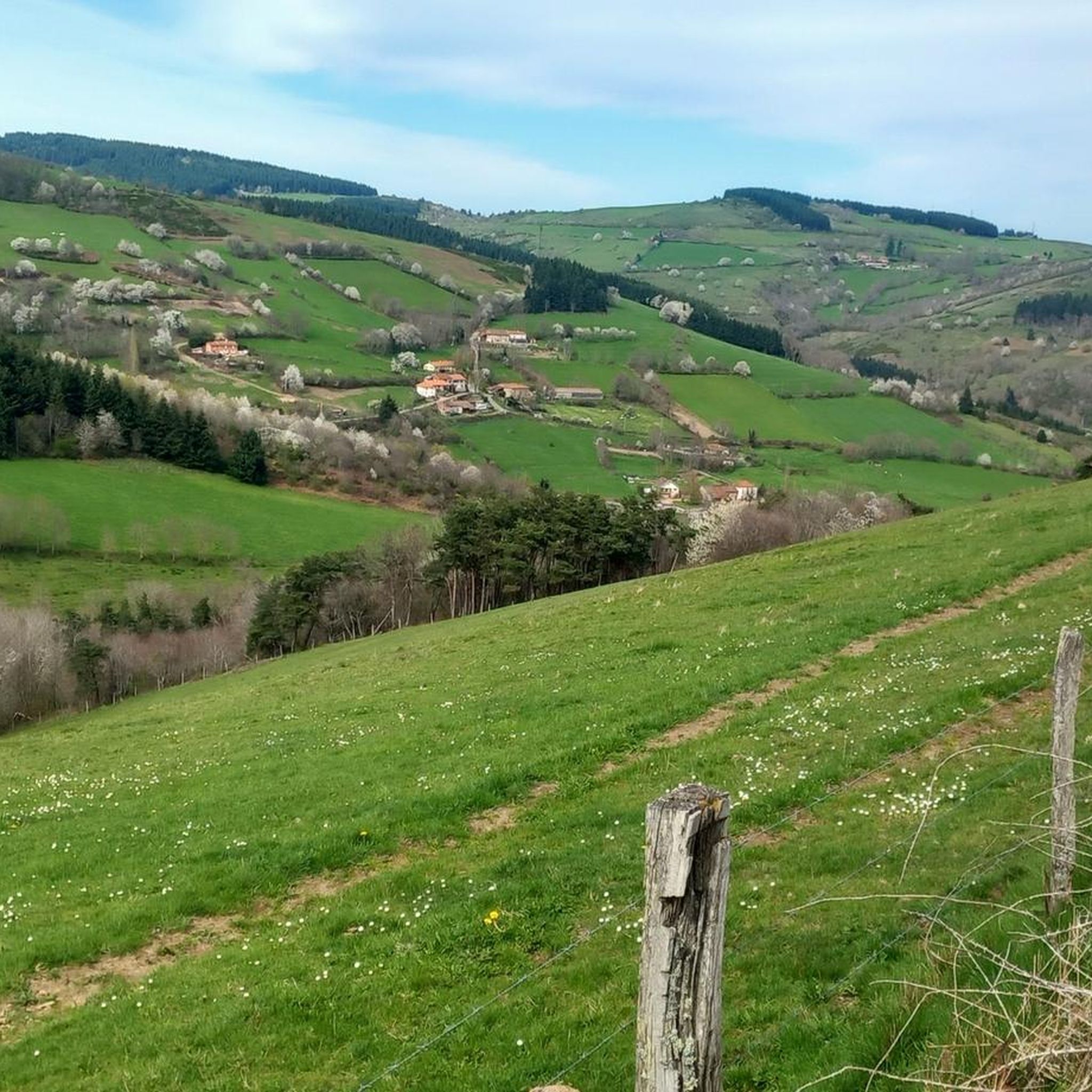
Mountain bike trails around Cherier offer a diverse landscape characterized by extensive meadows and forests, providing varied terrain for outdoor activities. The region features significant hydrological richness with valleys and varied relief, creating dynamic environments for mountain biking. An extensive network of mostly unpaved routes, spanning over 100 km, traverses these natural features. This combination of water features, diverse land cover, and varied terrain makes Cherier suitable for exploring on two wheels.
Best mountain bike trails around Cherier
- The most…
Last updated: October 28, 2026
4.0
(9)
33
riders
Moderate mountain bike ride. Good fitness required.
3.8
(5)
36
riders
46.5km
04:40
1,220m
1,220m
Hard mountain bike ride. Very good fitness required. Advanced riding skills necessary.

5.0
(1)
1
riders
24.3km
02:13
590m
590m
Moderate mountain bike ride. Good fitness required.
3
riders
36.0km
03:09
670m
670m
Moderate mountain bike ride. Good fitness required. Advanced riding skills necessary.
4.0
(1)
6
riders
Moderate mountain bike ride. Good fitness required.
Get access to more routes and recommendations from other explorers.
Already have an account?
Our route recommendations are based on thousands of hikes, rides, and runs completed by other people on komoot.
Start today with a free account
Your next adventure awaits.
Tips from the Community

a pass that culminates at about 1,070 meters above sea level, little traffic, a steady climb from the Gitenay mill over 7 km with an average gradient of 7%, very pleasant climb in nature, with plenty of shade.
0
0

A very nice and pleasant pass with several climbs more or less accessible depending on the level and distance. Each side offers its share of landscapes and small villages. If you want to climb it for the beauty of the landscapes, I recommend the ascent via Les Noës or via Charrier, and for those seeking a difficult climb, Charrier also serves as the hardest side.
1
0

A long, steady climb. Almost no cars, wide roads and beautiful surroundings! Hard to find a coffee or lunch place though.
0
0

The Glassworks Plateau is located at an altitude of 1,015 meters. It is a large open plateau in the Magdalen Mountains. The landscape is wild and relatively unspoiled.
0
0

One of the beautiful passes in the area. Little traffic
0
0

From this place, located just before the true highest point of the plateau, one enjoys an unobstructed view of the Roannais, the Alps and the regions of Auvergne.
3
0
If you are looking for a hiking adventure in a unique and wild landscape, you should visit the Verrerie plateau, a natural site protected by Natura 2000. This plateau is the last open moor of the Monts de la Madeleine, and it is home to rare and diverse flora and fauna in its bog, which dates back to 4600 BC. A wooden walkway will allow you to enter the protected area without harming the environment. From this plateau, you will have a breathtaking view of the Roannais, the Alps and the Auvergne. In the past, glassmakers burned all the beech trees to melt the silica. The Plateau de la Verrerie is a place where nature and history meet, and where you can experience a different hike.
4
0

A corner of paradise and an air of Provence due to its vegetation and its full sun exposure. After driving under the tall fir trees, the landscape opens up on this plateau and offers us a completely different setting.
0
0
Frequently Asked Questions
How many mountain bike trails are available around Cherier?
There are over 100 mountain bike trails in the Cherier region, offering a wide variety of routes for different skill levels and preferences. These trails traverse diverse landscapes, including meadows, forests, valleys, and varied relief.
Are there mountain bike trails suitable for beginners in Cherier?
Yes, Cherier offers several trails suitable for beginners. There are 9 easy mountain bike routes that provide a gentle introduction to the region's beautiful scenery without overly challenging terrain. These are perfect for those new to mountain biking or looking for a relaxed ride.
What kind of terrain can I expect on mountain bike trails in Cherier?
The mountain bike trails in Cherier feature a diverse landscape, characterized by extensive meadows and forests. You'll encounter varied terrain including valleys, wooded plots, and open fields, often with significant hydrological richness. The routes are mostly unpaved, providing a natural and engaging riding experience.
Are there any family-friendly mountain bike options in Cherier?
While specific 'family-friendly' designations aren't always explicit, the presence of 9 easy trails suggests suitable options for families. Look for routes with lower elevation changes and shorter distances, which can be more enjoyable for riders of all ages. The varied terrain and scenic views make for a pleasant outing.
What are some scenic mountain bike trails in Cherier with good views?
Many trails in Cherier offer scenic views, especially those traversing the varied relief and open meadows. For example, the Lake Villerest loop from Saint-Jean-Saint-Maurice-sur-Loire provides beautiful vistas around the lake. The region's rural heritage and charming viewpoints, like those from Vieux Cherier, are often accessible from the trail network.
What is the typical length and duration of mountain bike trails in Cherier?
Mountain bike trails in Cherier vary significantly in length and duration. For instance, the Réservoir du Gué de la Chaux – Col de la Rivière Noire loop from Col de la Loge des Gardes is a moderate 18.8 miles (30.2 km) path, typically taking around 3 hours. Longer routes, like the Pommiers-en-Forez – Towards Le Pet d'Âne loop from Cremeaux, can be up to 36.6 miles (59.0 km) and take over 4.5 hours to complete.
What do other mountain bikers enjoy the most about mountain biking in Cherier?
The mountain bike routes in Cherier are highly rated by the komoot community, with an average score of 4.5 stars from over 100 reviews. Riders often praise the diverse terrain, the mix of natural challenges, and the scenic routes through valleys, wooded plots, and meadows. The extensive network of mostly unpaved trails provides a rewarding experience for many.
Are there any notable landmarks or attractions I can visit while mountain biking in Cherier?
Yes, the Cherier region offers several interesting landmarks and natural features. You might encounter elements of small rural heritage and charming viewpoints. Notable attractions include the historic village of Saint-Haon-Le-Châtel, the scenic Plateau de la Verrerie, and the Keep of Saint-Maurice-sur-Loire. The Col de la Loge des Gardes is also a significant point of interest.
What is the best season for mountain biking in Cherier?
The landscapes in Cherier transform with the seasons, offering different experiences throughout the year. Spring and autumn generally provide pleasant temperatures and vibrant scenery, making them ideal for mountain biking. Summer can also be great, but it's advisable to start earlier in the day to avoid the midday heat. Winter riding is possible, but trail conditions may vary due to weather.
Are there any difficult or advanced mountain bike trails in Cherier?
Yes, for experienced riders seeking a challenge, Cherier offers 32 difficult mountain bike trails. These routes often feature more significant elevation changes and technical sections. An example of a challenging route is the Arcon – Pretty little path loop from Lentigny, which covers over 51 km with substantial climbing.
Where can I find information about trail conditions or maps for mountain biking in Cherier?
Information about the extensive network of marked trails, including maps, is often available from the Cherier town hall or the intercommunal tourist office. For specific route details, including difficulty and current user reviews, komoot provides up-to-date information and navigation for trails like the Pretty little path – Col de la Loge des Gardes loop from Cherier.
Most popular attractions around Cherier

Get inspired with the komoot mobile app


Explore more
Browse the best MTB trails in other regions.
