The best road cycling routes around Steige
4.6
(182)
3,265
riders
81
rides
Road cycling routes around Steige are characterized by varied terrain, including challenging hills and forested areas within the Vosges mountains. The region offers a landscape conducive to demanding climbs and scenic descents. Cyclists can expect routes that navigate through mountainous environments, providing both physical challenges and expansive views. The area's topography makes it suitable for road cyclists seeking elevation gain and diverse riding conditions.
Best road cycling routes around Steige
- The most popular road cycling route is Col de Steige…
Last updated: October 8, 2026
5.0
(3)
62
riders
68.8km
03:20
940m
940m
Hard road ride. Very good fitness required. Mostly well-paved surfaces and easy to ride.
4.5
(6)
116
riders
39.2km
02:03
500m
500m
Moderate road ride. Good fitness required. Some segments of this route may be unpaved and difficult to ride.

4.0
(1)
40
riders
61.0km
03:08
1,070m
1,070m
Hard road ride. Very good fitness required. Mostly well-paved surfaces and easy to ride.
4.2
(6)
68
riders
61.5km
03:12
1,120m
1,120m
Hard road ride. Very good fitness required. Mostly well-paved surfaces and easy to ride.
5.0
(1)
49
riders
56.6km
03:04
1,110m
1,110m
Hard road ride. Very good fitness required. Mostly well-paved surfaces and easy to ride.
Get access to more routes and recommendations from other explorers.
Already have an account?
Our route recommendations are based on thousands of hikes, rides, and runs completed by other people on komoot.
Start today with a free account
Your next adventure awaits.

Tips from the Community

This beautiful, idyllic spot in Blienschwiller (formerly Blienschweiler) is located in the town center on the Route des Vins or the Euro Vélo 5 or EV5, which runs here along the D35. According to the 2023 census, about 300 inhabitants live in Blienschwiller. The town is located at the eastern foot of the Northern Vosges in the Bas Rhin department in the arrondissement of Sélestat-Erstein. The main economic sector of the town is arable and wine farming.
1
0

The Champ du Feu, at 1099 meters, is the highest mountain in the Bas-Rhin department in the Vosges in Alsace. It is located between the towns of Belmont and Le Hohwald and consists of a vast plateau with forests, meadows, and moorlands. The area is a popular nature and recreational area. In summer, it is mainly used for hiking, mountain biking, and nature observation. In winter, there is a small ski area with cross-country trails and simple slopes for winter sports. From the Champ du Feu, the La Serva stream originates, which later forms the Cascade de la Serva. In clear weather, the summit offers wide views over the Vosges, the Rhine plain, and even the Black Forest. The area is particularly known for its quiet nature, high moors, sunrises and starry skies, as well as well-marked hiking trails.
0
0

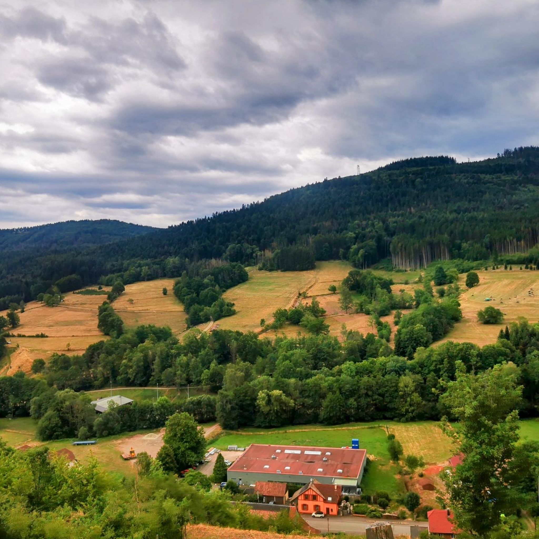
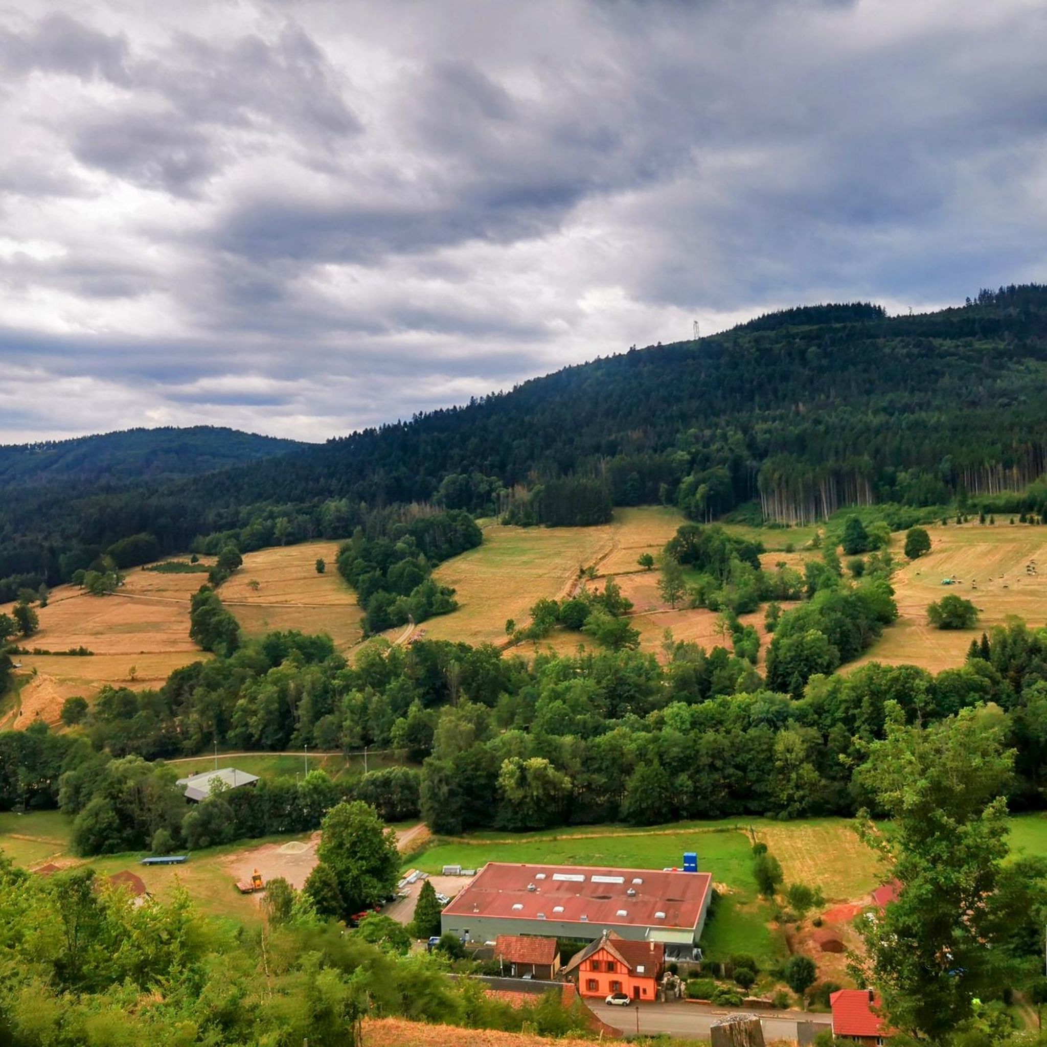
abandoned road with beautiful view.
0
0


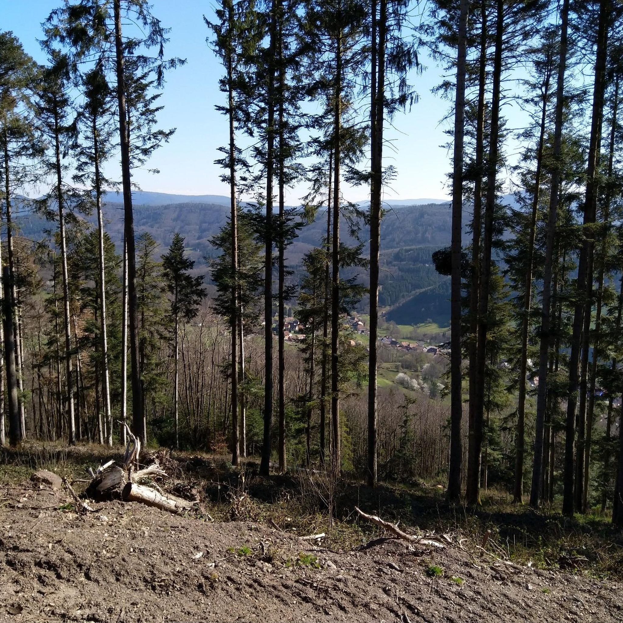
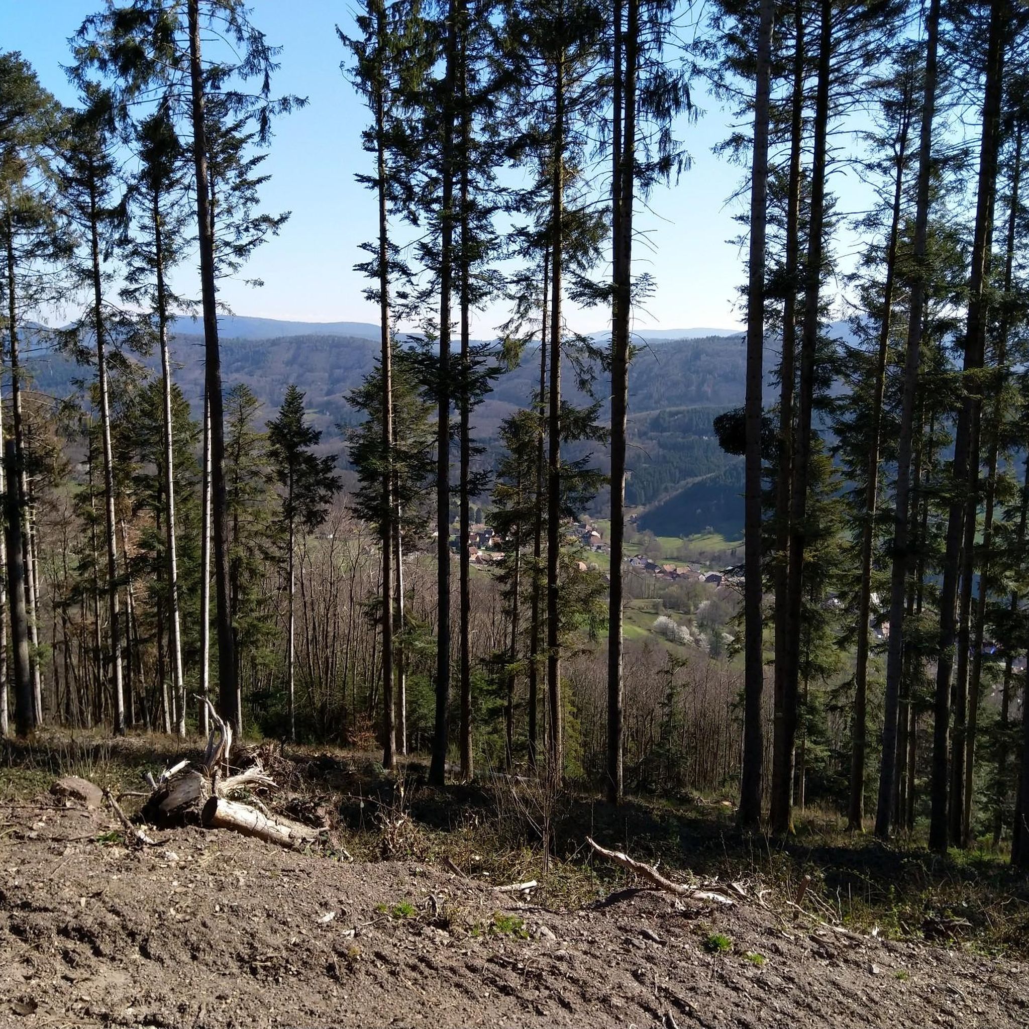
That was a great view of Andlau
1
0

Andlau was founded in 880 by Empress Richardis. She had been banished by her husband, Emperor Charles III, and was later canonized. Her tomb in Andlau became a place of pilgrimage. According to legend, a wild bear showed her the perfect spot (Wikipedia). Wonderful Crus are produced from the vineyards here.
5
0

... is recommended before the long climb to the Champ du Feu
0
0

Frequently Asked Questions
How many road cycling routes are available around Steige?
There are over 75 road cycling routes around Steige, offering a wide range of options for cyclists. These routes are highly rated by the komoot community, with an average score of 4.7 stars.
What kind of terrain can I expect when road cycling around Steige?
Road cycling around Steige is characterized by varied terrain, including challenging hills and forested areas within the Vosges mountains. You can expect demanding climbs and scenic descents, with routes navigating through mountainous environments that provide both physical challenges and expansive views. The region is known for its rewarding climbs, such as those found on routes like Col de Steige – Urbeis Pass loop from Breitenbach.
Are there road cycling routes suitable for beginners in Steige?
Yes, while the region is known for its challenging climbs, there are routes suitable for various ability levels. Out of the 75 available routes, 3 are classified as easy, offering a gentler introduction to road cycling in the area.
What are some of the more challenging road cycling routes in the Steige area?
For experienced cyclists seeking a challenge, Steige offers numerous difficult routes. A top choice is the Col de Steige – Champ du Feu loop from Steige, which features challenging ascents and descents through elevated terrain. Another demanding option is the Climb to Grendelbruch – Col de Grendelbruch loop from Belmont, known for its significant elevation gain.
Are there any long-distance road cycling routes near Steige?
Yes, several routes offer longer distances for endurance cyclists. For example, the Climb to Grendelbruch – Col de Grendelbruch loop from Belmont covers approximately 66.6 km, while the Col de Steige – Urbeis Pass loop from Breitenbach is about 64 km long, both providing extensive riding experiences.
What natural attractions can I see along road cycling routes near Steige?
The region around Steige is rich in natural beauty. You can encounter picturesque spots like the Hohwald waterfall, which is a beautiful natural feature. Many routes also pass through the scenic Vosges mountains, offering expansive views and forested landscapes.
Are there historical landmarks or castles to explore near the cycling routes?
Absolutely. The area around Steige is dotted with historical sites. Cyclists can discover several castles, such as the Frankenbourg Castle, La Roche Castle, and the Château de Thanvillé (Schlossacker). These historical points of interest can add a cultural dimension to your ride.
What is the best time of year for road cycling in Steige?
The best time to cycle in the Vosges mountains region, including Steige, is typically from late spring to early autumn (May to October). During these months, the weather is generally milder, and the mountain passes are clear of snow, providing optimal conditions for road cycling.
Are there family-friendly road cycling options in the Steige area?
While many routes feature significant climbs, some of the easier classified routes might be suitable for families with older children or those looking for a less strenuous ride. It's advisable to check the specific route profiles for elevation gain and distance to ensure it matches your family's capabilities.
Where can I find places to stop for refreshments or food along the routes?
Many routes in the region pass through or near villages and towns where you can find cafes, restaurants, and bakeries. For example, the Charbonnière Pass is noted as a pub, offering a potential stop. Planning your route with komoot allows you to identify such points of interest beforehand.
What do other road cyclists enjoy most about the routes around Steige?
The komoot community highly rates the road cycling routes around Steige, with an average score of 4.7 stars from over 100 reviews. Cyclists frequently praise the challenging hills, the diverse terrain, and the beautiful forested landscapes of the Vosges mountains. The variety of routes, from moderate to difficult, also receives positive feedback.
Most popular attractions around Steige

Get inspired with the komoot mobile app


Explore more
Browse the best Road cycling routes in other regions.
