The best road cycling routes around Bourg-Bruche
4.4
(109)
1,980
riders
66
rides
Road cycling routes around Bourg-Bruche are characterized by the rolling hills and mountain passes of the Vosges region. The area features a network of paved roads winding through dense forests and open valleys, offering varied terrain for road cyclists. Elevation gains are common, with routes often including climbs to scenic cols.
Best road cycling routes around Bourg-Bruche
- The most popular road cycling route is Col d‘Urbeis — loop from Saâles, a 30.9 miles (49.8 km) trail that takes 2…
Last updated: August 1, 2026
19
riders
49.8km
02:36
910m
910m
Hard road ride. Very good fitness required. Mostly well-paved surfaces and easy to ride.
4.8
(12)
132
riders
49.3km
02:27
650m
650m
Moderate road ride. Good fitness required. Some segments of this route may be unpaved and difficult to ride.

Sign up for free
4.7
(3)
50
riders
43.1km
02:23
880m
880m
Moderate road ride. Good fitness required. Some segments of this route may be unpaved and difficult to ride.
5.0
(5)
53
riders
58.7km
03:30
920m
920m
Hard road ride. Very good fitness required. Some segments of this route may be unpaved and difficult to ride.
35
riders
104km
05:58
2,280m
2,280m
Hard road ride. Very good fitness required. Mostly well-paved surfaces and easy to ride.
Get access to more routes and recommendations from other explorers.
Sign up for free
Already have an account?
Our route recommendations are based on thousands of hikes, rides, and runs completed by other people on komoot.
Start today with a free account
Your next adventure awaits.
Login or Signup
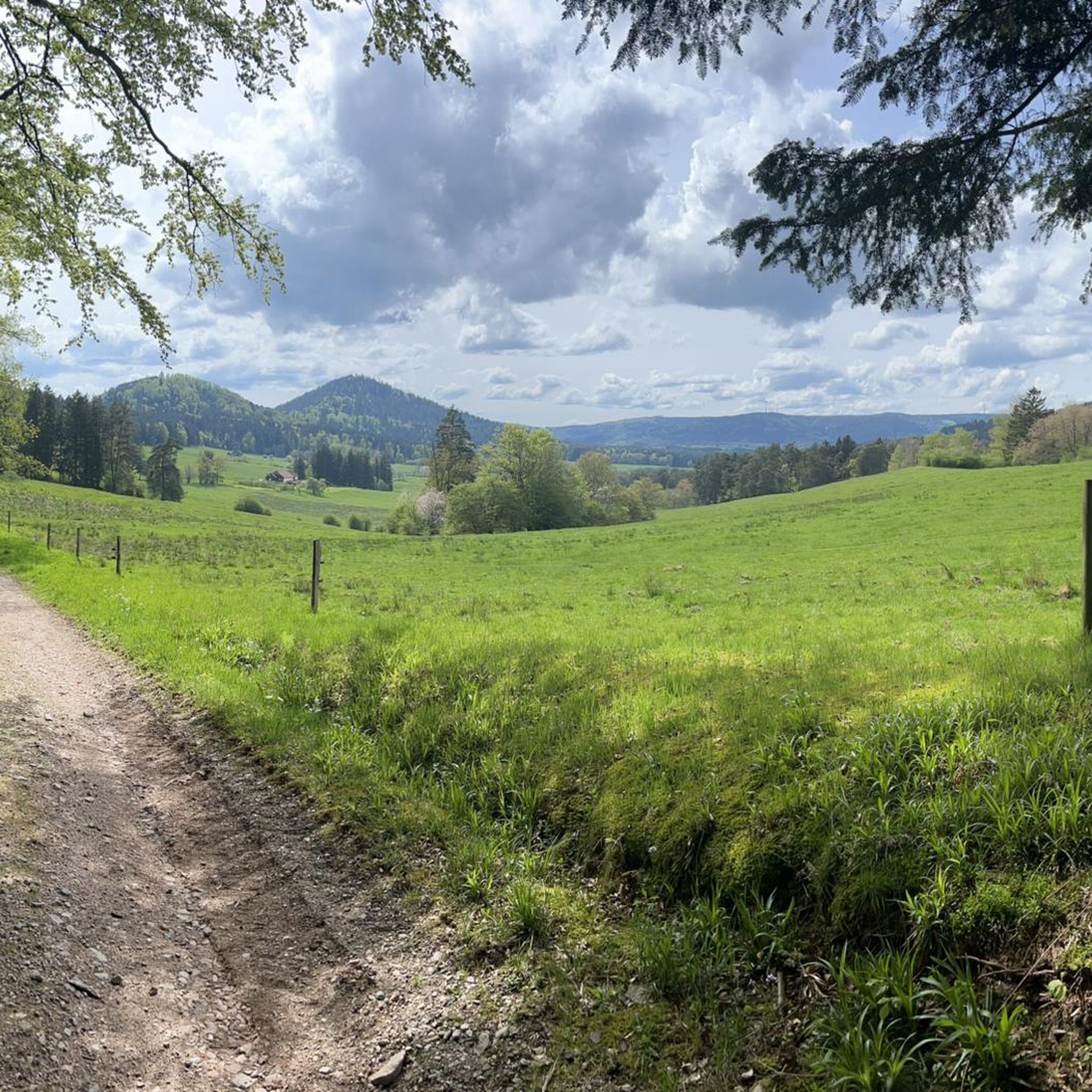
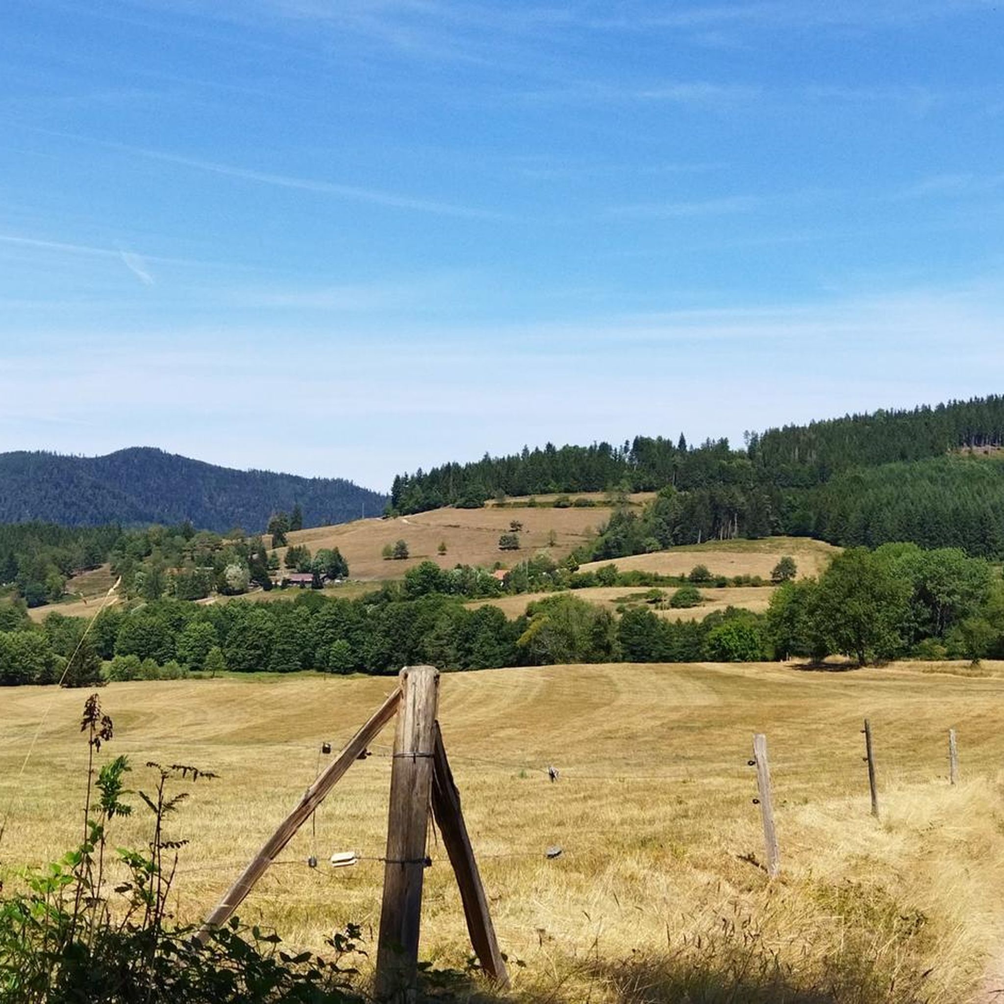
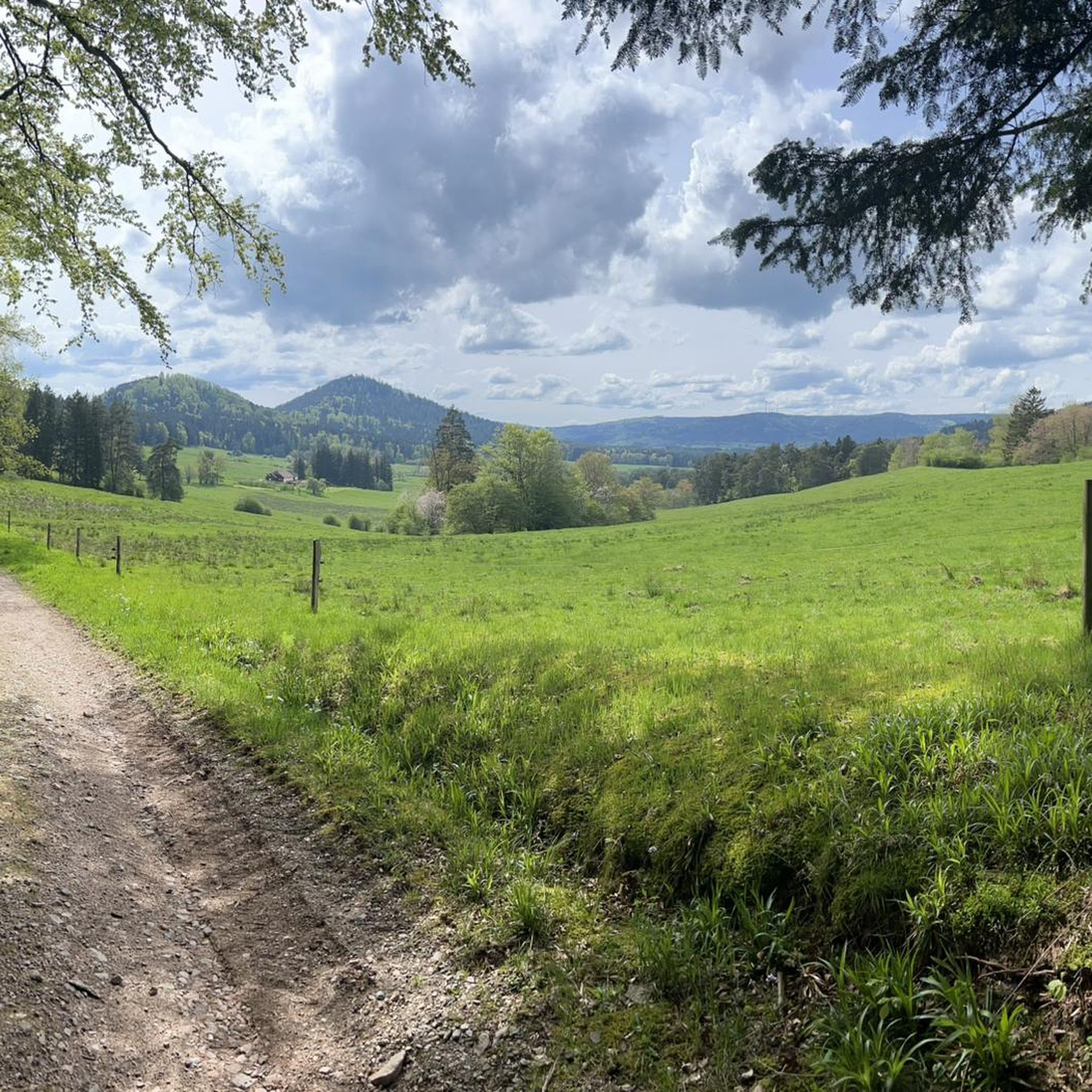
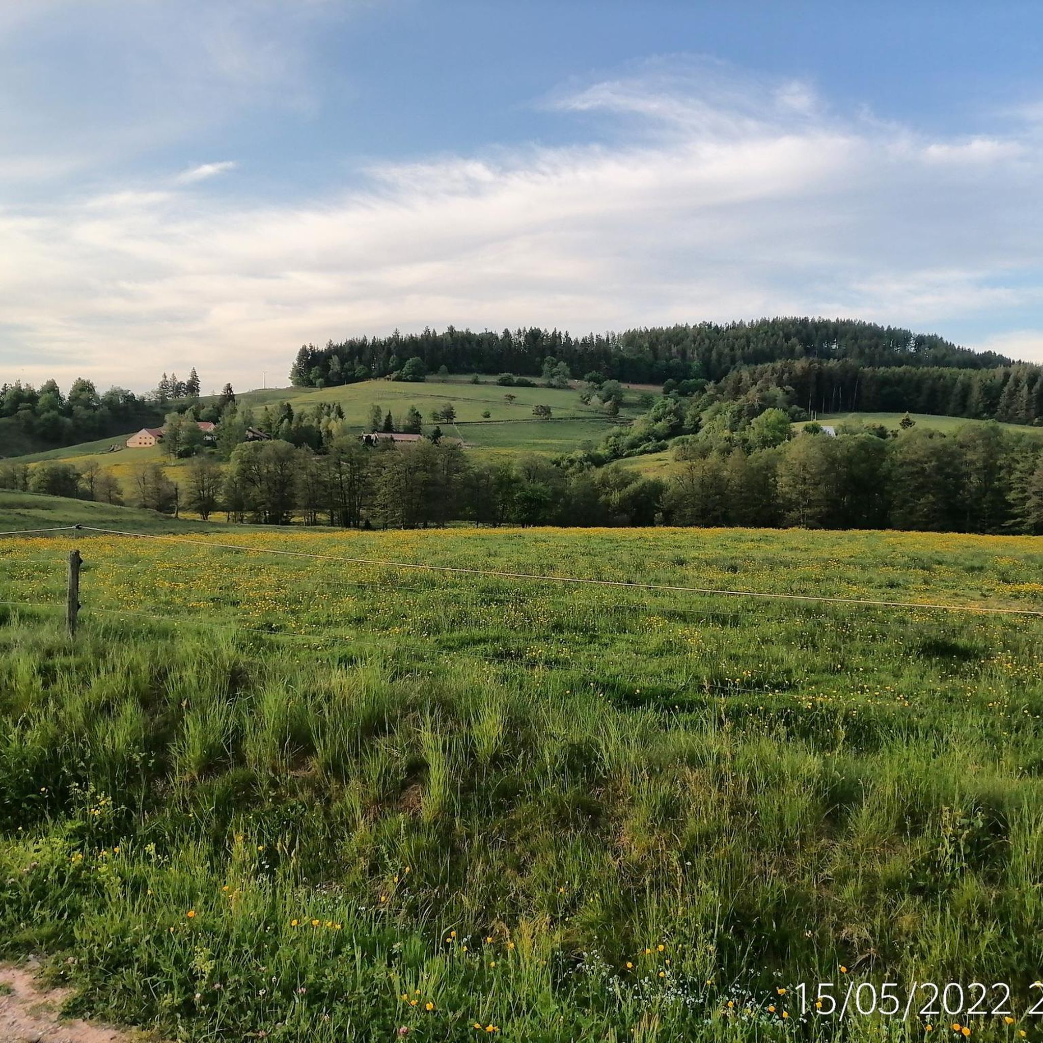

Tips from the Community

Beautiful small town with a great village square, where there is always a party on Wednesdays in the summer. The cafe l´etang des Pains is highly recommended. You can have breakfast and enjoy coffee and cake there, or buy a packed lunch for hikers... very delicious!
0
0

The Champ du Feu, at 1099 meters, is the highest mountain in the Bas-Rhin department in the Vosges in Alsace. It is located between the towns of Belmont and Le Hohwald and consists of a vast plateau with forests, meadows, and moorlands. The area is a popular nature and recreational area. In summer, it is mainly used for hiking, mountain biking, and nature observation. In winter, there is a small ski area with cross-country trails and simple slopes for winter sports. From the Champ du Feu, the La Serva stream originates, which later forms the Cascade de la Serva. In clear weather, the summit offers wide views over the Vosges, the Rhine plain, and even the Black Forest. The area is particularly known for its quiet nature, high moors, sunrises and starry skies, as well as well-marked hiking trails.
0
0


Magnificent pass to climb from different slopes (Breitenbach, Steige, Vallée de la Bruche, Andlau). It is also a crossing point towards the Champ du feu, the Hohwald, the Mont Ste Odile.
0
0
A classic Vosges pass, quite accessible and magnificent!
0
0

The Col de Fouchy is a beautiful drive. The narrow road can get quite narrow, especially on the descent to Rombach-le-Franc and Liepvre. You should definitely plan some safety precautions on the descent, as a large truck can suddenly block a tight left-hand bend. While traffic is sometimes light, it can get quite hectic, especially on long weekends and holidays, as many day-trippers and motorcycle groups cross the pass. Unfortunately, dangerous situations often arise due to excessive speed and overhang.
0
0

The former town hall of Schirmeck on the market square was built in 1864. Today, the building houses clubs and the media library.
0
0
Frequently Asked Questions
How many road cycling routes are available around Bourg-Bruche?
There are over 60 road cycling routes in the Bourg-Bruche area, offering a wide range of options for different skill levels. You can find routes varying from moderate to difficult, primarily characterized by the rolling hills and mountain passes of the Vosges region.
Are there any easy road cycling routes for beginners in Bourg-Bruche?
Yes, while many routes feature significant elevation, there are 4 routes classified as easy. These routes offer a gentler introduction to road cycling in the Vosges, allowing beginners to enjoy the scenery without overly challenging climbs.
What are the most challenging road cycling routes in the Bourg-Bruche area?
For experienced cyclists seeking a challenge, there are 22 difficult routes. A notable example is the Col d‘Urbeis — loop from Saâles, which covers nearly 50 km with over 900 meters of elevation gain. Another demanding option is the Salcée Pass – Haut de Ribeauvillé Pass loop from Bourg-Bruche, a long-distance route with over 2200 meters of climbing.
Are there long-distance road cycling routes available?
Yes, for those looking for longer rides, routes like the Salcée Pass – Haut de Ribeauvillé Pass loop from Bourg-Bruche offer over 100 km of cycling with substantial elevation gain, perfect for endurance training or a full day out.
What kind of scenery can I expect on road cycling routes around Bourg-Bruche?
The routes in Bourg-Bruche wind through dense forests, open valleys, and mountain passes characteristic of the Vosges region. You'll encounter varied landscapes, from lush woodlands to panoramic views from higher elevations. Many routes offer opportunities to see natural landmarks and historical sites.
What do other road cyclists say about the routes in Bourg-Bruche?
The road cycling routes in Bourg-Bruche are highly rated by the komoot community, with an average score of 4.7 stars from over 60 reviews. Cyclists often praise the varied terrain, the challenging climbs, and the beautiful natural surroundings of the Vosges mountains.
Are there any circular road cycling routes in Bourg-Bruche?
Many of the road cycling routes around Bourg-Bruche are designed as loops, allowing you to start and finish at the same point. Examples include the Urbeis Pass – Col de Steige loop from Saint-Blaise-la-Roche and the Forest Road Through the Vosges – Cuckoo Pond loop from Bourg-Bruche.
What are some scenic viewpoints or attractions along the road cycling routes?
While cycling, you can pass by several interesting points. The Champ du Feu, a prominent summit, is accessible on some routes. Other highlights include the historic Salm Castle and various natural monuments like the Rocher de la Salière.
When is the best time of year for road cycling in Bourg-Bruche?
The best time for road cycling in Bourg-Bruche is typically from late spring through early autumn (May to October). During these months, the weather is generally milder, and the mountain passes are clear of snow, offering optimal conditions for exploring the Vosges region.
Do the road cycling routes in Bourg-Bruche involve significant elevation gain?
Yes, road cycling in Bourg-Bruche is defined by its rolling hills and mountain passes, meaning most routes include significant elevation gain. Cyclists should be prepared for climbs, which are often rewarded with stunning views of the Vosges landscape.
Are there any routes that pass through the Champ du Feu area?
Yes, the Champ du Feu – Col de Steige loop from Saâles is one such route that takes you through the forested hills and mountain passes, offering views of the area around the Champ du Feu summit.
Most popular routes around Bourg-Bruche
Most popular attractions around Bourg-Bruche

Get inspired with the komoot mobile app


Explore more
Browse the best Road cycling routes in other regions.
