The best walks and hikes around Sulzmatt
4.5
(1561)
6,705
hikers
79
hikes
Hiking around Sulzmatt, also known as Soultzmatt, offers diverse terrain within the Alsace region, characterized by its proximity to the Vosges mountains and the Alsatian Wine Route. The landscape features expansive vineyards, deep forests, and the classified natural site of the Wormsa Valley, which includes rivers and waterfalls. Hikers can expect varied elevations, from gentle vineyard paths to more strenuous mountain trails.
Best hiking trails around Sulzmatt
- The most popular hiking route is Great Rock – Langenstein Menhir loop from…
Last updated: September 28, 2026
5.0
(8)
67
hikers
16.0km
05:39
920m
920m
Hard hike. Very good fitness required. Mostly accessible paths. Sure-footedness required.
4.8
(13)
43
hikers
7.69km
02:14
200m
200m
Moderate hike. Good fitness required. Mostly accessible paths. Sure-footedness required.

4.6
(8)
45
hikers
Moderate hike. Good fitness required. Easily-accessible paths. Suitable for all skill levels.
4.0
(6)
40
hikers
8.71km
02:27
190m
190m
Moderate hike. Good fitness required. Easily-accessible paths. Suitable for all skill levels.
4.3
(3)
10
hikers
5.15km
01:37
210m
220m
Easy hike. Great for any fitness level. Easily-accessible paths. Suitable for all skill levels.
Get access to more routes and recommendations from other explorers.
Already have an account?
Our route recommendations are based on thousands of hikes, rides, and runs completed by other people on komoot.
Start today with a free account
Your next adventure awaits.
Tips from the Community

Col du Boenlesgrab - Large parking lot - On the GR532. Multiple hiking trails allowing access to Petit Ballon, to go around it, or to enjoy the farm inns. Return for pedestrians and mountain bikers possible towards 3 different valleys.
0
0

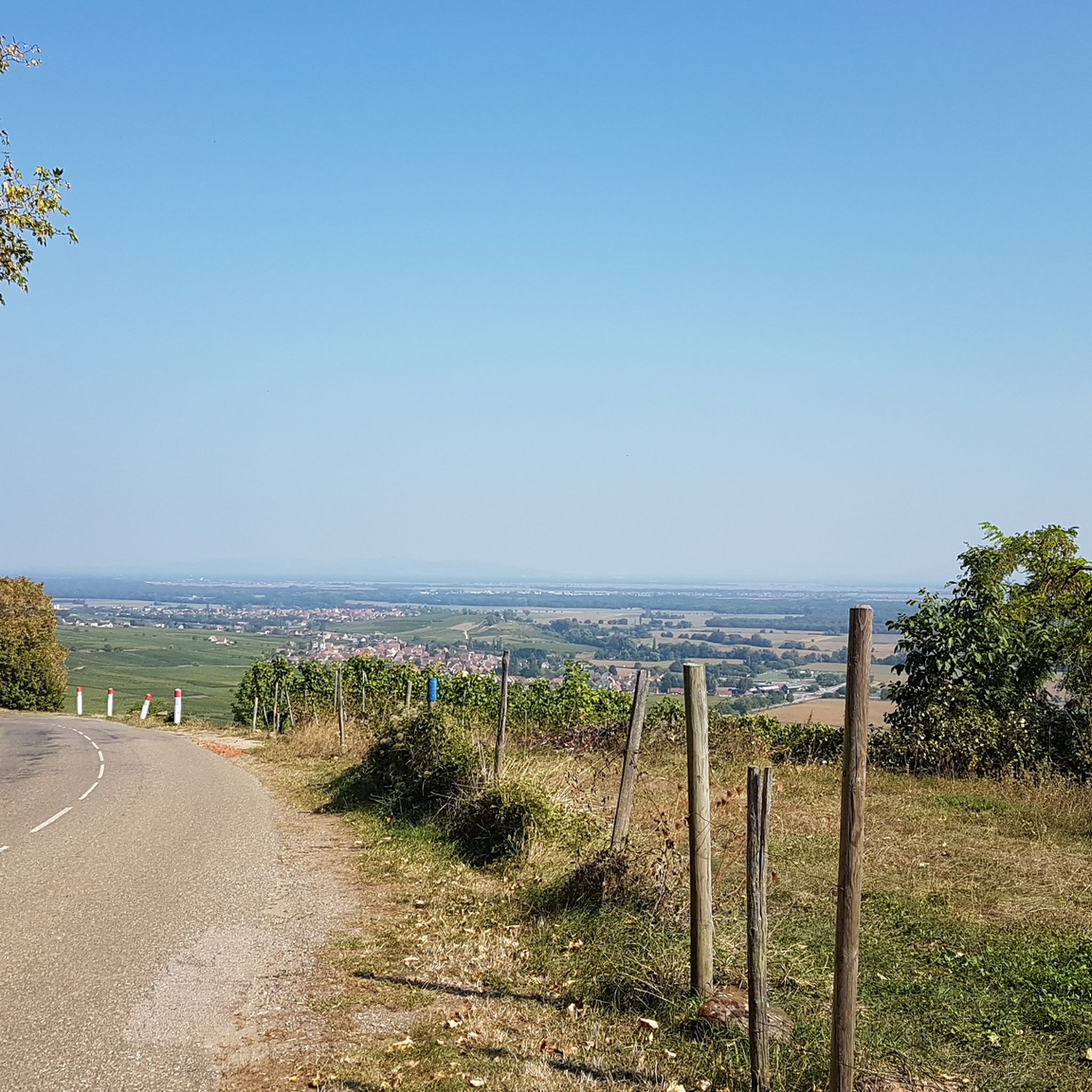
via gravel road approx. 700m east of the Col du Petit Ballon. From the pass summit itself, the view is (somewhat) limited. On the descent there are wonderful views small parking possibility, surrounded by forest and meadow
0
0

Unfortunately, recently (a few weeks ago), a "Non-Potable Water" sign has been put up at the water point.
0
0

The ascent to the Col du Firstplan from Soultzbach-les-Bains is steady. The road surface is good and occasionally a tuned car whizzes past. There are few lay-bys on the roadside for a short stop, but at the top of the Col there is a picnic area.
0
0

Met the mayor of the town today when I wanted to refill my bottles, he told me not to drink the water. This also applies to the other wells in town. I drank two bottles of it, everything was fine.
0
0

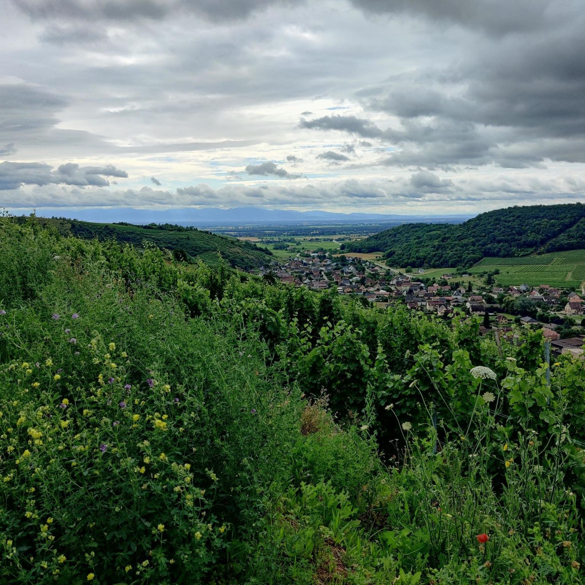
Nice view, a shame there is no bench or table
0
0
Fountain + chainsaw sculpture (Rémi Salomon, 2025), located in a small square with games, benches and a table. Some parking spaces under the square and along the Rue des Vosges. Marked trails and access to the forest at the other end of the square.
0
0
Ancient boundary marker + engraved rock (on the ground), in pink sandstone. Located on the route of the Great Mystical Walk, 45 minutes from the Schauenberg.
1
0
Frequently Asked Questions
How many hiking trails are available around Sulzmatt?
There are over 75 hiking routes around Sulzmatt, offering a wide range of experiences from easy strolls through vineyards to more challenging mountain ascents in the Vosges foothills.
What kind of terrain can I expect on hikes near Sulzmatt?
Hikes around Sulzmatt feature diverse terrain, including expansive vineyards, deep forests, and the classified natural site of the Wormsa Valley. You'll find paths ranging from gentle vineyard trails to more strenuous mountain routes with varied elevations.
Are there easy hiking options suitable for beginners in Sulzmatt?
Yes, Sulzmatt offers many easy hiking options. There are 27 routes classified as easy, perfect for beginners or those looking for a relaxed walk. An example is the Great Rock – Langenstein Menhir loop from Soultzmatt, which is an easy 4.4-mile trail.
Can I find challenging hikes with significant elevation gain around Sulzmatt?
Absolutely. For experienced hikers seeking a challenge, there are 6 difficult routes with significant elevation gain. A notable example is the Boenlesgrab Pass – Statue of the Virgin Mary loop from Osenbach, a 9.9-mile trail with over 900 meters of ascent.
Are there any hikes that feature waterfalls or scenic valleys near Sulzmatt?
Yes, the nearby Wormsa Valley is a classified natural site known for its rivers and numerous waterfalls. This valley, originating from a Vosges glacier, offers an exceptional setting for exploring wild nature and scenic beauty.
What natural landmarks or viewpoints can I discover on hikes in the Sulzmatt area?
Hiking routes often lead to elevated points offering breathtaking panoramas, such as views of Soultzmatt from trails through the vineyards towards Sultzelberg. The region also boasts the majestic Vosges mountains, providing diverse landscapes and viewpoints. You can also find highlights like View of the Grand Ballon.
Are there family-friendly hiking trails in Sulzmatt?
Sulzmatt offers a variety of trails suitable for families. Many of the easy and moderate routes are well-maintained and pass through vineyards or gentle forest paths, providing enjoyable experiences for all ages. Look for routes with lower elevation gain and shorter distances.
Are dogs allowed on hiking trails around Sulzmatt?
Generally, dogs are welcome on hiking trails in the Sulzmatt region, especially in the natural areas and forests. However, it's always advisable to keep them on a leash, particularly in vineyards, near livestock, or in protected natural zones, and to respect local signage.
What do other hikers enjoy the most about hiking in Sulzmatt?
The area is highly rated by the komoot community, with an average score of 4.5 stars from over 1,100 reviews. Hikers often praise the diverse landscapes, from vineyard-covered hills to the foothills of the Vosges, and the well-maintained network of trails that cater to various ability levels.
Are there any historical sites or castles accessible via hiking trails near Sulzmatt?
Yes, the broader Alsace region, including areas around Sulzmatt, features hiking paths that can lead to historical sites. You can explore nearby castles such as The Three Castles of Eguisheim or Hohlandsbourg Castle, combining physical activity with cultural discovery.
What is the best time of year to go hiking in Sulzmatt?
The region is beautiful year-round, but spring and autumn are particularly popular. Spring brings blooming vineyards and mild temperatures, while autumn offers stunning fall foliage. Summer is also great, especially for higher altitude trails in the Vosges, though some lower trails can be warm. Winter hiking is possible, but conditions may vary.
Are there circular hiking routes available in Sulzmatt?
Yes, many of the trails around Sulzmatt are designed as circular routes, allowing you to start and end at the same point. For example, the Notre-Dame du Hubel – Path of reflection loop from Westhalten is a popular moderate circular path.
How can I access hiking trailheads in Sulzmatt using public transport?
While many trailheads are accessible by car, the region does have public transport options. During summer, the "Navette des Crêtes" service facilitates access to some of the most beautiful hiking spots in the Vosges peaks, promoting eco-friendly exploration. For specific routes, it's best to check local bus schedules.
Most popular routes around Sulzmatt
Most popular attractions around Sulzmatt

Get inspired with the komoot mobile app


Explore more
Browse the best Hikes in other regions.
