The best walks and hikes around Bliensbach
4.5
(2582)
13,812
hikers
517
hikes
Hiking around Bliensbach offers access to diverse landscapes within the Augsburg region of Bavaria, Germany. The area is characterized by a varied topography that includes forests, hills, and proximity to rivers and lakes, forming part of the Augsburg - Western Forests Nature Park. This natural setting provides a rich environment for outdoor exploration, typical of the Bavarian countryside. The terrain features well-developed hiking trails suitable for various preferences.
Best hiking trails around Bliensbach
- The most popular hiking route is Solbach…
Last updated: July 21, 2026
4.4
(15)
88
hikers
16.2km
04:59
560m
560m
Moderate hike. Good fitness required. Easily-accessible paths. Suitable for all skill levels.
4.9
(12)
78
hikers
11.5km
03:46
500m
500m
Moderate hike. Good fitness required. Easily-accessible paths. Suitable for all skill levels.

Sign up for free
4.7
(6)
51
hikers
7.77km
02:26
290m
280m
Moderate hike. Good fitness required. Easily-accessible paths. Suitable for all skill levels.
4.6
(10)
47
hikers
13.3km
04:04
470m
470m
Moderate hike. Good fitness required. Easily-accessible paths. Suitable for all skill levels.
5.0
(6)
22
hikers
8.23km
02:35
320m
320m
Moderate hike. Good fitness required. Easily-accessible paths. Suitable for all skill levels.
Get access to more routes and recommendations from other explorers.
Sign up for free
Already have an account?
Our route recommendations are based on thousands of hikes, rides, and runs completed by other people on komoot.
Start today with a free account
Your next adventure awaits.
Login or Signup

Tips from the Community


A ruin of a forgotten castle, like so many others in our beautiful Vosges mountains. A gravel bike ride that I really enjoyed.
0
0

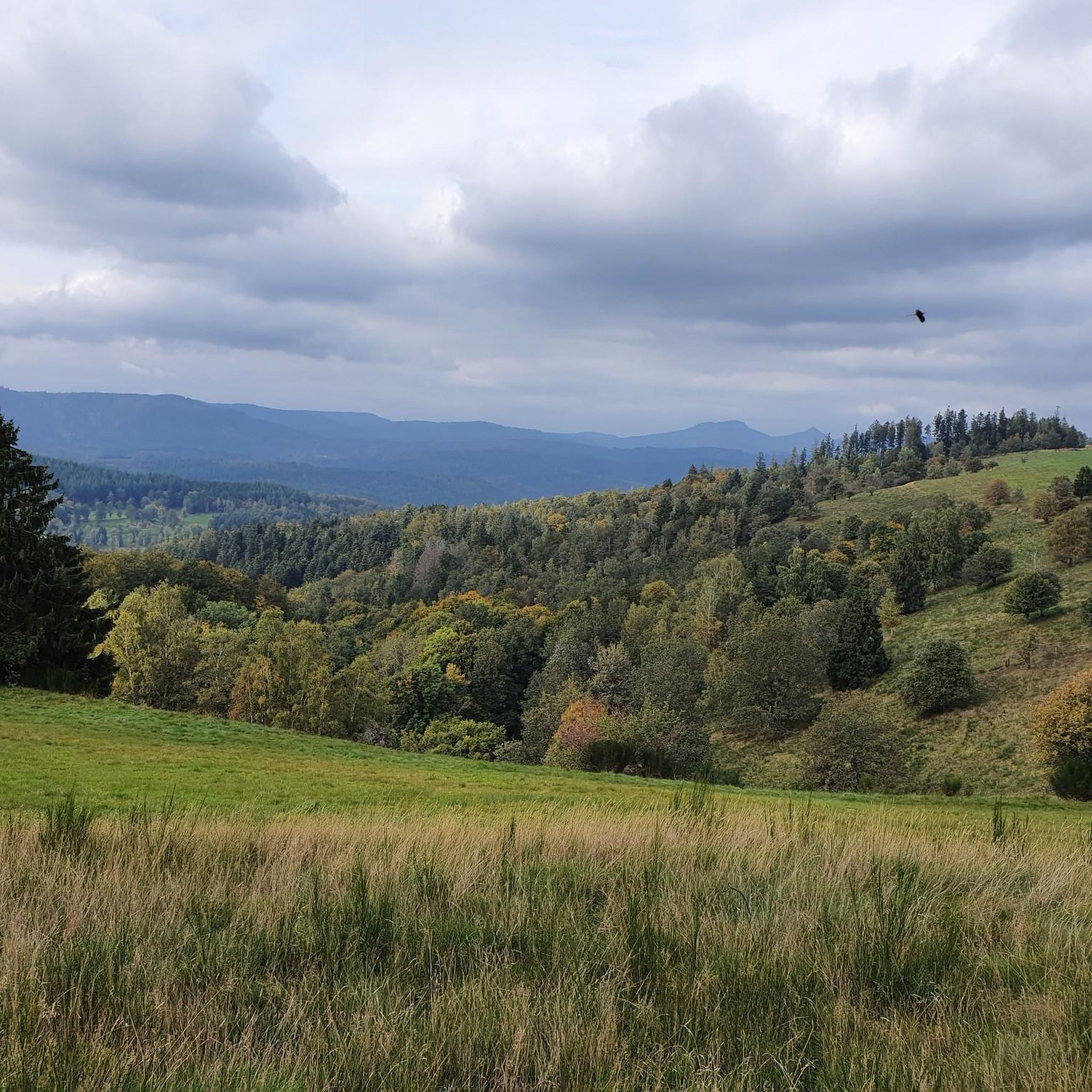
One of my favorite places in the Bruche Valley. Below the Champ du Feu, the vegetation fades to enhance the landscape. You can perfectly observe the Donon and the surrounding peaks in a hilly landscape, especially if you climb Mont Saint-Jean. The place is perfect for a picnic in summer. And for the most gourmet, the Perheux farmhouse inn is only a few meters away.
2
0

Superb little single that takes you to a rock overlooking Rothau Be careful, the path which goes down towards Rothau is not recommended for beginners...
0
0
Great view of Rothau... Be careful of the mountain bike descent that follows.... beginners refrain 😉🤣
0
0
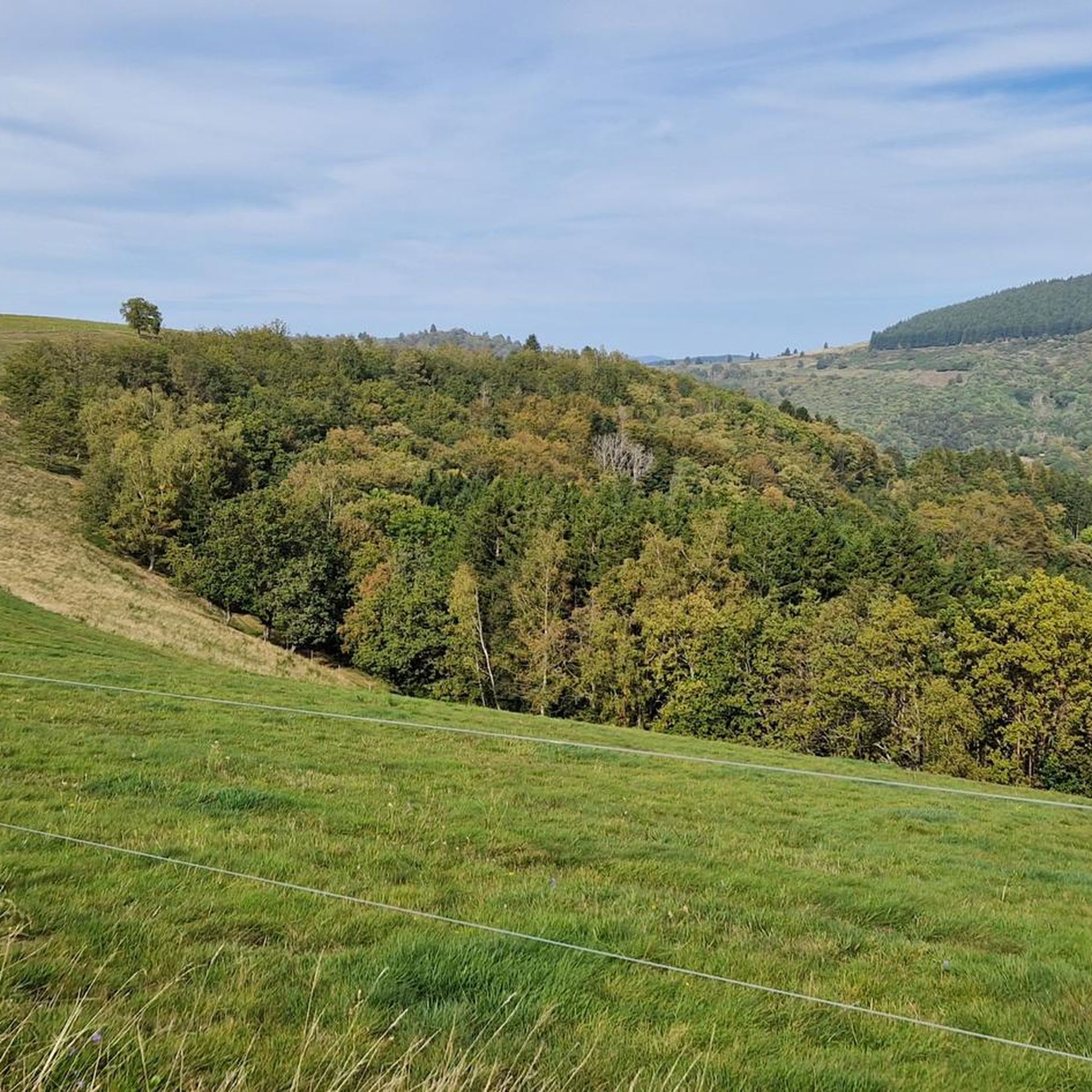
Unlike its heavily wooded slope, the western slope of the Champ du Feu massif has magnificent pastures which allow you to appreciate all the beauty of the relief.
0
0

Very nice view of the Climont and the valley.
2
0

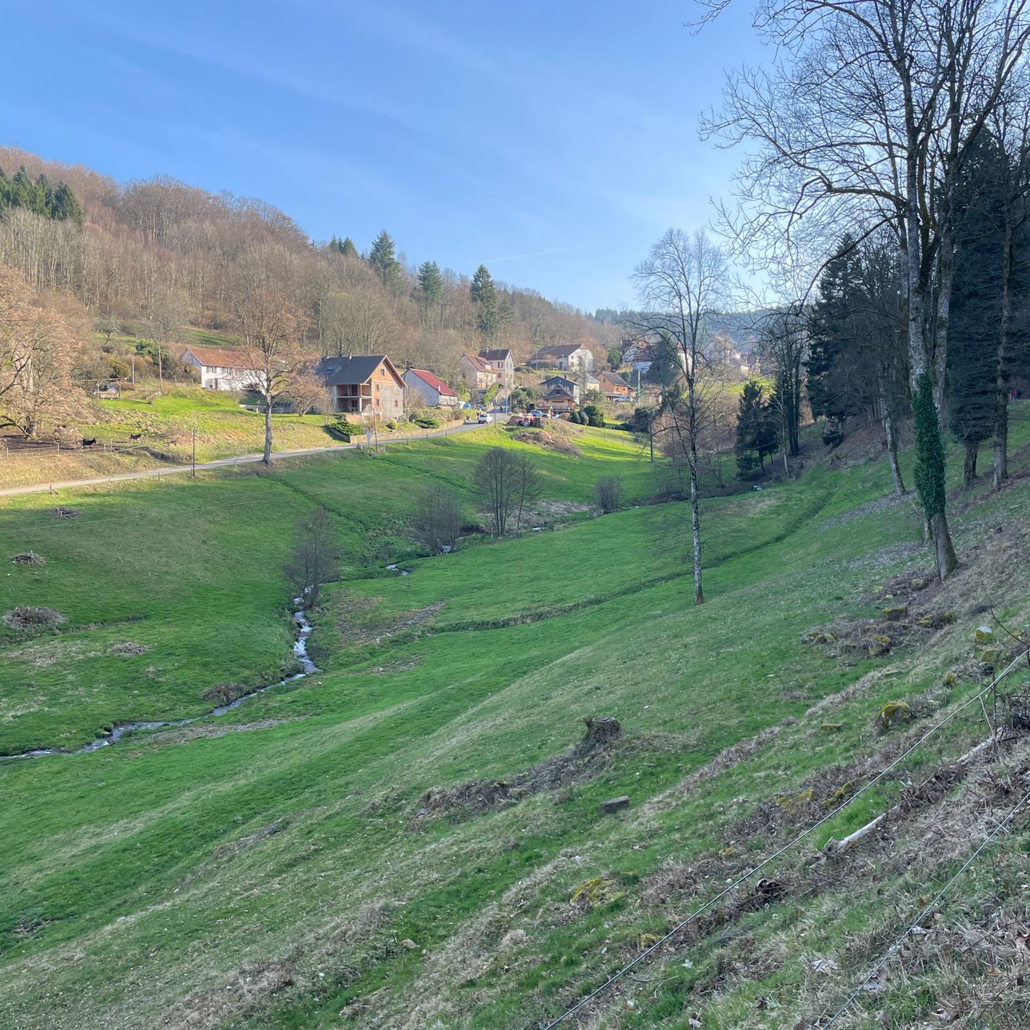
Perfect for a shady break and a view of the entire region near Colroy
0
0
Frequently Asked Questions
How many hiking trails are available around Bliensbach?
There are over 500 hiking trails in the Bliensbach area, offering a wide range of options for different skill levels and preferences. You'll find routes suitable for easy strolls, moderate day hikes, and more challenging excursions.
What kind of terrain can I expect on hikes near Bliensbach?
The terrain around Bliensbach is diverse, characterized by forests, rolling hills, and proximity to rivers and lakes, all within the Augsburg - Western Forests Nature Park. Trails are generally well-developed, offering a mix of natural paths and scenic viewpoints.
Are there any easy or beginner-friendly hikes in Bliensbach?
Yes, Bliensbach offers many easy routes suitable for beginners or those looking for a relaxed walk. There are nearly 200 easy trails available, perfect for enjoying the natural surroundings without significant elevation changes.
Can I find circular hiking routes in the Bliensbach area?
Many of the hiking trails around Bliensbach are designed as circular routes, allowing you to start and end at the same point. For example, the moderate route Col de la Perheux – Mont St Jean loop from Waldersbach is a popular circular option covering over 13 kilometers.
What natural features or landmarks can I see while hiking?
The region boasts several natural highlights. You might encounter the Hohwald waterfall, or enjoy panoramic views from Champ du Feu. The area is also home to unique natural monuments like The Big Oak.
Are there any places to stop for food or rest along the trails?
Yes, you can find various huts and inns in the vicinity. Options include the Haute Loge shelter or the Rothlach Inn, providing opportunities for a break or a meal during your hike.
What do other hikers say about the trails in Bliensbach?
The trails in Bliensbach are highly regarded by the komoot community, with an average rating of 4.5 stars from over 2,500 reviews. Hikers often praise the well-maintained paths, the scenic beauty of the Augsburg - Western Forests Nature Park, and the variety of routes available.
Are there any challenging day hikes in Bliensbach?
For those seeking a challenge, Bliensbach offers over 50 difficult trails. A good example is the Allée des Fiancés – Col de la Perheux loop from Waldersbach, which features significant elevation gain over its 8.2-kilometer distance.
Is Bliensbach a good destination for family-friendly hikes?
Bliensbach is suitable for families, especially with its numerous easy and moderate trails. The diverse landscape of the Augsburg - Western Forests Nature Park provides an engaging environment for children to explore. Consider visiting the nearby "mooseum" in Bächingen an der Brenz, which offers an outdoor area with a barefoot path and sensory garden for a different kind of natural engagement.
What is the best time of year to go hiking in Bliensbach?
The Augsburg region, including Bliensbach, is pleasant for hiking throughout much of the year. Spring and autumn offer mild temperatures and beautiful scenery, while summer provides longer daylight hours. Even in winter, some trails may be suitable for walks, though conditions should be checked.
Are there opportunities for wildlife spotting in the Bliensbach area?
As part of the Augsburg - Western Forests Nature Park, the Bliensbach region offers a rich natural environment. While specific wildlife sightings are not guaranteed, the diverse forests and natural features provide habitats for various local species, making it a good area for nature observation.
How can I find parking for hiking trails in Bliensbach?
While specific parking details for every trailhead are not listed, the well-developed infrastructure of the Augsburg region typically includes designated parking areas near popular hiking starting points. It's advisable to check individual route descriptions on komoot for specific parking recommendations.
Most popular attractions around Bliensbach

Get inspired with the komoot mobile app


Explore more
Browse the best Hikes in other regions.
