The best running trails around Bourgvilain
4.6
(68)
2,727
runners
279
runs
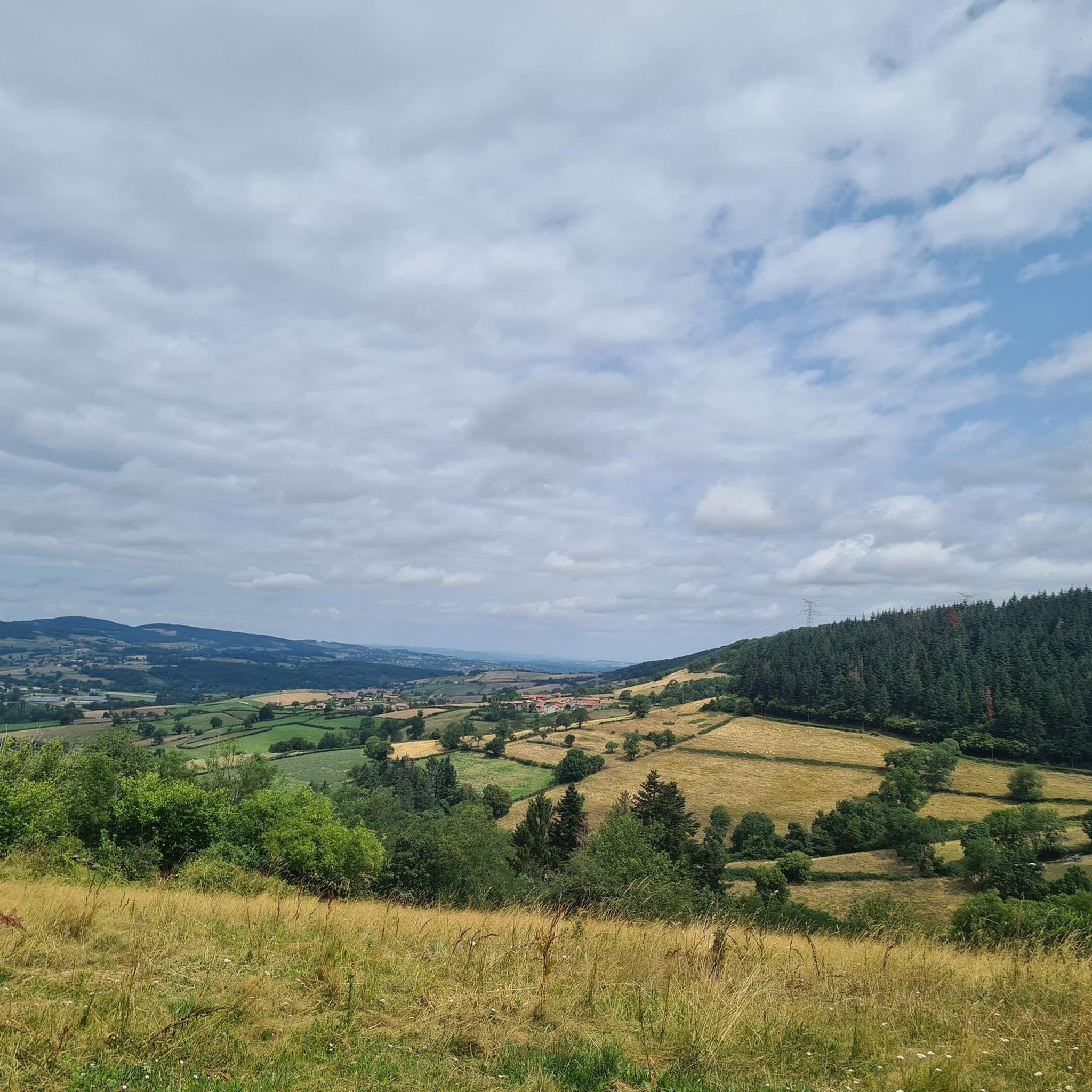
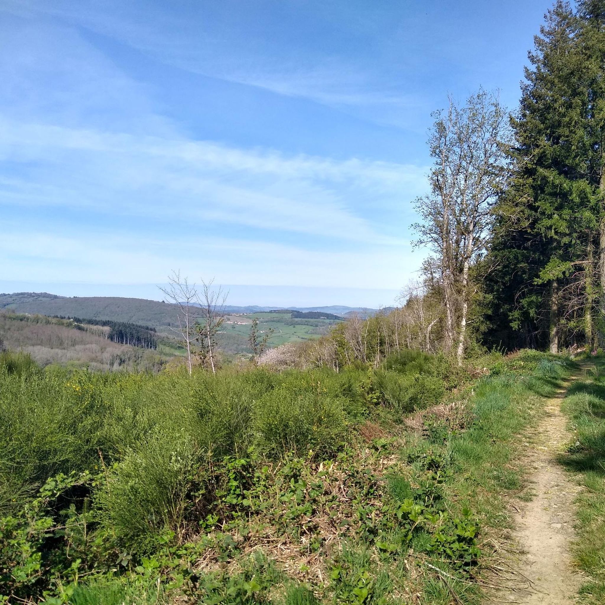
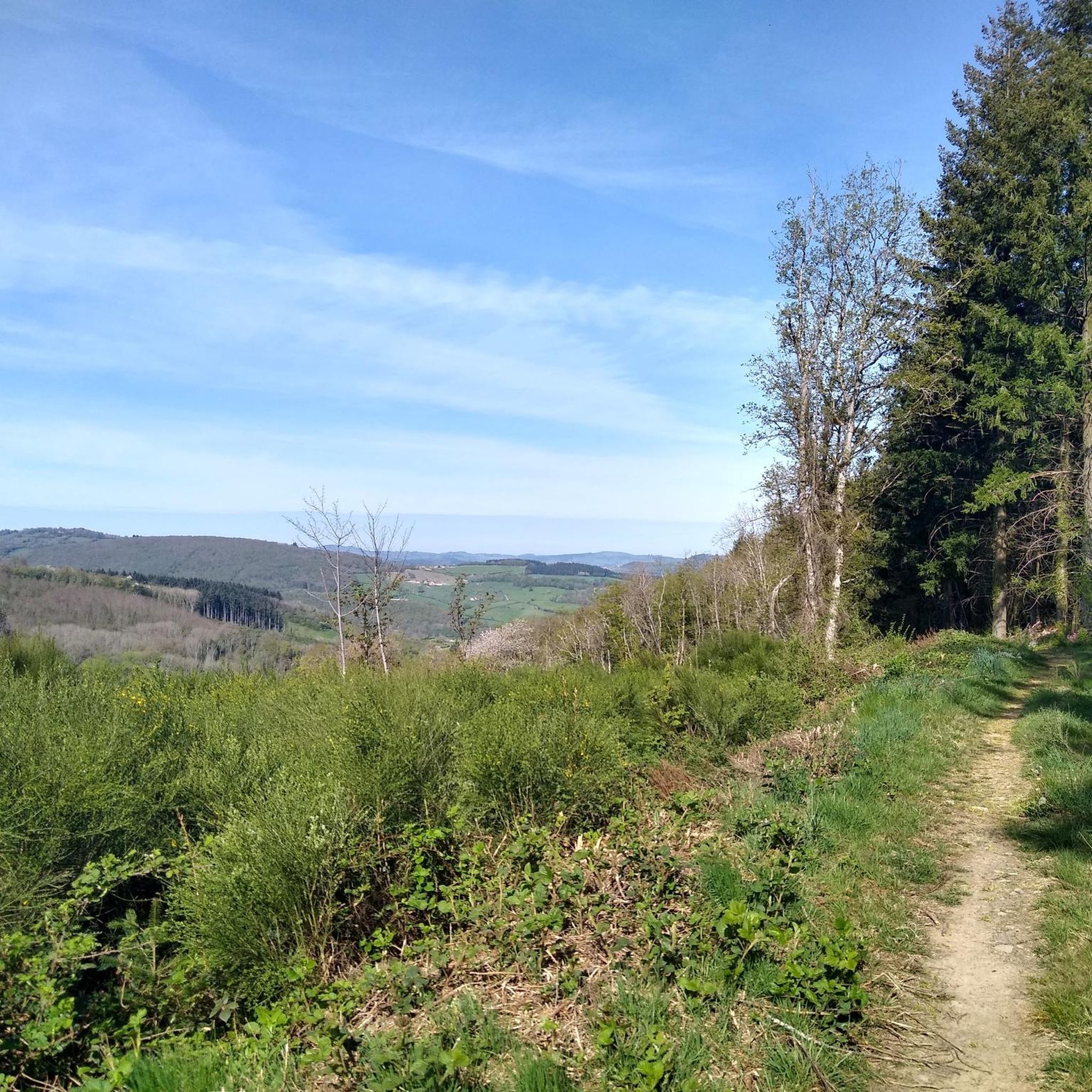
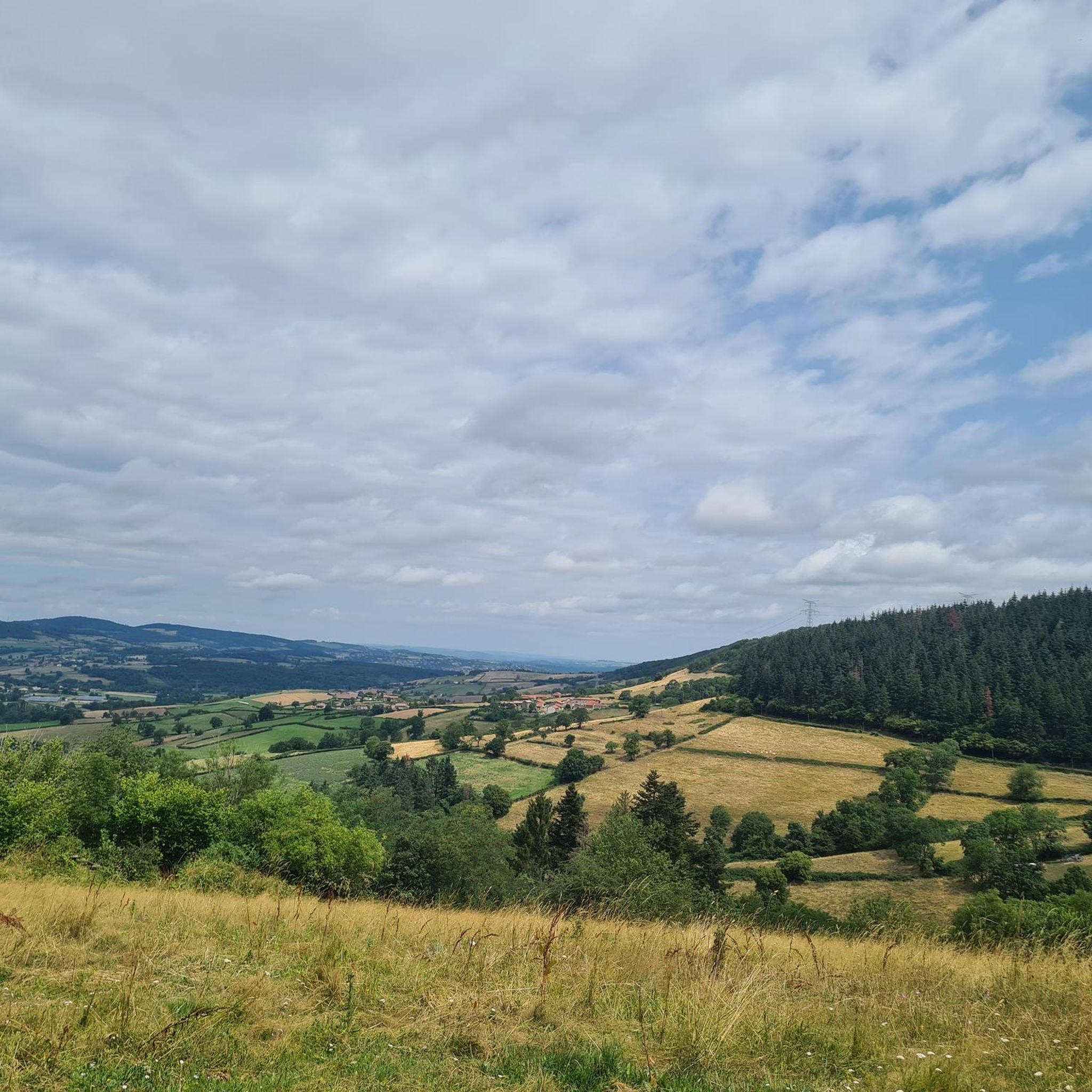
Jogging around Bourgvilain offers routes through gently rolling landscapes of meadows and woods in the Burgundy-Franche-Comté region. The area is part of a Natura 2000 protected natural zone, preserving its natural habitats. Terrain varies, with altitudes ranging between 260 and 681 meters, including the Col des Enceints, which provides panoramic views. This environment supports a network of natural trails suitable for running.
Best jogging routes around Bourgvilain
- The most popular jogging route is Greenway of Southern Burgundy loop from Sologny…
Last updated: May 15, 2026
33
runners
4.38km
00:28
70m
70m
Easy run. Great for any fitness level. Mostly paved surfaces. Suitable for all skill levels.
4.5
(2)
15
runners
13.2km
01:48
490m
490m
Hard run. Very good fitness required. Mostly paved surfaces. Suitable for all skill levels.

Sign up for free
4.0
(1)
13
runners
8.95km
01:08
260m
260m
Moderate run. Good fitness required. Mostly paved surfaces. Suitable for all skill levels.
11
runners
11.2km
01:34
460m
460m
Hard run. Very good fitness required. Mostly paved surfaces. Suitable for all skill levels.
6
runners
20.6km
02:33
590m
590m
Hard run. Very good fitness required. Mostly paved surfaces. Suitable for all skill levels.
Get access to more routes and recommendations from other explorers.
Sign up for free
Already have an account?
Our route recommendations are based on thousands of hikes, rides, and runs completed by other people on komoot.
Start today with a free account
Your next adventure awaits.
Login or Signup

Tips from the Community

The Château de Berzé-le-Châtel (also known as Forteresse de Berzé) is the largest and best-preserved medieval castle in southern Burgundy. The site dates back to a 10th-century castrum and was strategically built on a rocky outcrop to protect the nearby powerful Abbey of Cluny. The fortress consists of three concentric walls and features 13 towers (including two keeps/donjons) as well as an imposing gatehouse. The heart inside is a remarkable Carolingian chapel.
0
0
The Croix de Roche Coche, a summit cross on the La Roche Coche viewpoint in the French municipality of Berzé-la-Ville (Burgundy/Saône-et-Loire region). The rocky summit is at an altitude of 455 meters and offers a wide panorama of the Val Lamartinien.
0
0
The Col des Enceints is a mountain pass in the French region of Bourgogne-Franche-Comté (Département Saône-et-Loire) with a summit elevation of 529 meters. The pass is located in the Mâconnais mountains (Monts du Mâconnais) near the municipality of Bourgvilain. It is a popular route, especially among cyclists and hikers: For cyclists: The ascent from Pierreclos extends over approximately 4.3 kilometers with an elevation difference of about 257 meters and an average gradient of just under 6% (up to 12% at its steepest). For hikers: A moderate, approximately 8.5-kilometer circular hiking trail from Bourgvilain leads over the pass, among other routes, passing through forests and past small hamlets.
0
0

Very beautiful castle. Feel free to visit the monks' chapel of Berzé la ville, with very beautiful paintings from the abbey of Cluny
0
0

Beautiful view of the Lamartine Valley
0
0


Each of these crosses, which the hiker often encounters in the fields or, as here, on the mountains, is a sign of remembrance of the crucifixion and resurrection of Jesus Christ. "Here on earth there is His memory, but in the kingdom of heaven there is His presence: this presence is the joy of those who have already attained salvation. The memory is our consolation, as we are still wanderers, travelling towards our homeland." (Bernard of Clairvaux)
0
1

The poet Alphonse de Lamartine spent his childhood and adolescence in this house built by his great-grandfather in 1705. This 19th century author and politician left his mark on France, notably through his fight for the abolition of slavery, the decree of which he signed in 1848, when he was head of the Provisional Government.
1
0
Frequently Asked Questions
How many running routes are available around Bourgvilain?
Bourgvilain offers a wide selection of over 280 running routes, catering to various fitness levels and preferences. These trails wind through the region's picturesque landscapes of meadows and woodlands.
What kind of terrain can I expect on jogging routes in Bourgvilain?
The jogging routes in Bourgvilain feature gently rolling landscapes of meadows and woods. You'll find varied terrain, with altitudes ranging between 260 and 681 meters. Some routes, like those near the Col des Enceints, offer more challenging elevations and panoramic views over the Saône valley.
Are there running routes suitable for beginners in Bourgvilain?
Yes, Bourgvilain offers 8 easy running routes perfect for beginners or those looking for a more relaxed jog. These trails typically feature less elevation gain and cover shorter distances, allowing you to enjoy the natural beauty at a comfortable pace.
Can I find circular running routes in the Bourgvilain area?
Absolutely. Many of the running routes around Bourgvilain are circular, allowing you to start and finish at the same point. For example, the Greenway of Southern Burgundy loop from Sologny is a popular moderate option, and the Cross at La Roche Coche – La Roche Coche Viewpoint loop from Berzé-le-Châtel offers a moderate challenge with scenic views.
What are some notable landmarks or natural attractions I might see while running?
While jogging in Bourgvilain, you can encounter several interesting landmarks. The region is part of a Natura 2000 protected area. You might also find routes that offer views of the majestic Roche de Solutré, a significant natural monument, or pass by the tranquil Lac de Saint-Point Lamartine. Some trails also lead past historic sites like the Medieval fortress of Berzé-le-Châtel.
What do other runners enjoy most about jogging in Bourgvilain?
The running routes in Bourgvilain are highly rated by the komoot community, with an average score of 4.5 stars. Runners often praise the varied landscapes, from quiet woodlands to open meadows, and the well-maintained trails that offer a refreshing outdoor experience. The sense of being in a preserved natural area is also frequently highlighted.
Are there any running routes that offer great viewpoints?
Yes, several routes provide excellent viewpoints. The Montagne de Cras – View of Montagne de Cras loop from Milly-Lamartine is a challenging route known for its panoramic vistas from Montagne de Cras. Similarly, the Col des Enceints, the highest point in Bourgvilain, offers rewarding views over the Saône valley.
Is Bourgvilain suitable for family-friendly running or walking?
Yes, Bourgvilain's gently rolling landscapes and extensive network of trails include options suitable for families. The easier routes, often through meadows and less challenging woodlands, are perfect for a family jog or a brisk walk, allowing everyone to enjoy the natural environment.
What is the best season for running in Bourgvilain?
Bourgvilain offers pleasant running conditions throughout much of the year. Spring and autumn provide mild temperatures and beautiful scenery with blooming flowers or vibrant fall foliage. Summer is also enjoyable, especially in the shaded woodland sections, while winter can offer crisp, refreshing runs, though some trails might be muddy or require appropriate footwear.
Are there options for parking near the trailheads in Bourgvilain?
While specific parking details for every trailhead are not provided, the region's extensive network of trails often has designated parking areas in or near villages and popular starting points. It's advisable to check the specific route details on komoot for information on parking availability for your chosen running path.
Can I access running routes in Bourgvilain using public transport?
The Burgundy region is known for its accessibility, and while direct public transport to every trailhead in Bourgvilain might be limited, major towns and villages often have bus services. For detailed information on public transport options to specific starting points, it's best to consult local transport schedules or regional tourism resources.
Are there any dog-friendly running routes in Bourgvilain?
Many of the natural trails and paths in Bourgvilain are suitable for running with dogs, allowing you and your canine companion to enjoy the outdoors together. However, it's always recommended to keep your dog on a leash, especially in protected areas like the Natura 2000 zone, and to be mindful of local regulations and other trail users.
Most popular routes around Bourgvilain
Most popular attractions around Bourgvilain

Get inspired with the komoot mobile app


Explore more
Browse the best Running Trails & Routes in other regions.
