The best running trails around Sancé
4.6
(103)
4,728
runners
15
runs
Jogging routes around Sancé offer a diverse landscape for runners, situated on the western bank of the Saône river. The area features relatively flat riverside paths, ideal for easy runs, alongside undulating hills like the Grisière to the west, providing more challenging terrain. The broader Mâconnais region, characterized by rolling landscapes and vineyards, contributes to a varied running environment. This blend of riverbanks and elevated areas caters to different fitness levels.
Best jogging routes around Sancé
- The most popular jogging…
Last updated: October 1, 2026
5.0
(1)
350
runners
9.79km
01:01
40m
40m
Moderate run. Good fitness required. Mostly paved surfaces. Suitable for all skill levels.
81
runners
6.06km
00:38
10m
10m
Moderate run. Good fitness required. Mostly paved surfaces. Suitable for all skill levels.

16
runners
25.8km
02:42
30m
30m
Hard run. Very good fitness required. Mostly paved surfaces. Suitable for all skill levels.
5.0
(1)
5
runners
10.2km
01:05
120m
120m
Moderate run. Good fitness required. Mostly paved surfaces. Suitable for all skill levels.
9
runners
11.2km
01:23
210m
210m
Moderate run. Good fitness required. Mostly paved surfaces. Suitable for all skill levels.
Get access to more routes and recommendations from other explorers.
Already have an account?
Our route recommendations are based on thousands of hikes, rides, and runs completed by other people on komoot.
Start today with a free account
Your next adventure awaits.

Tips from the Community

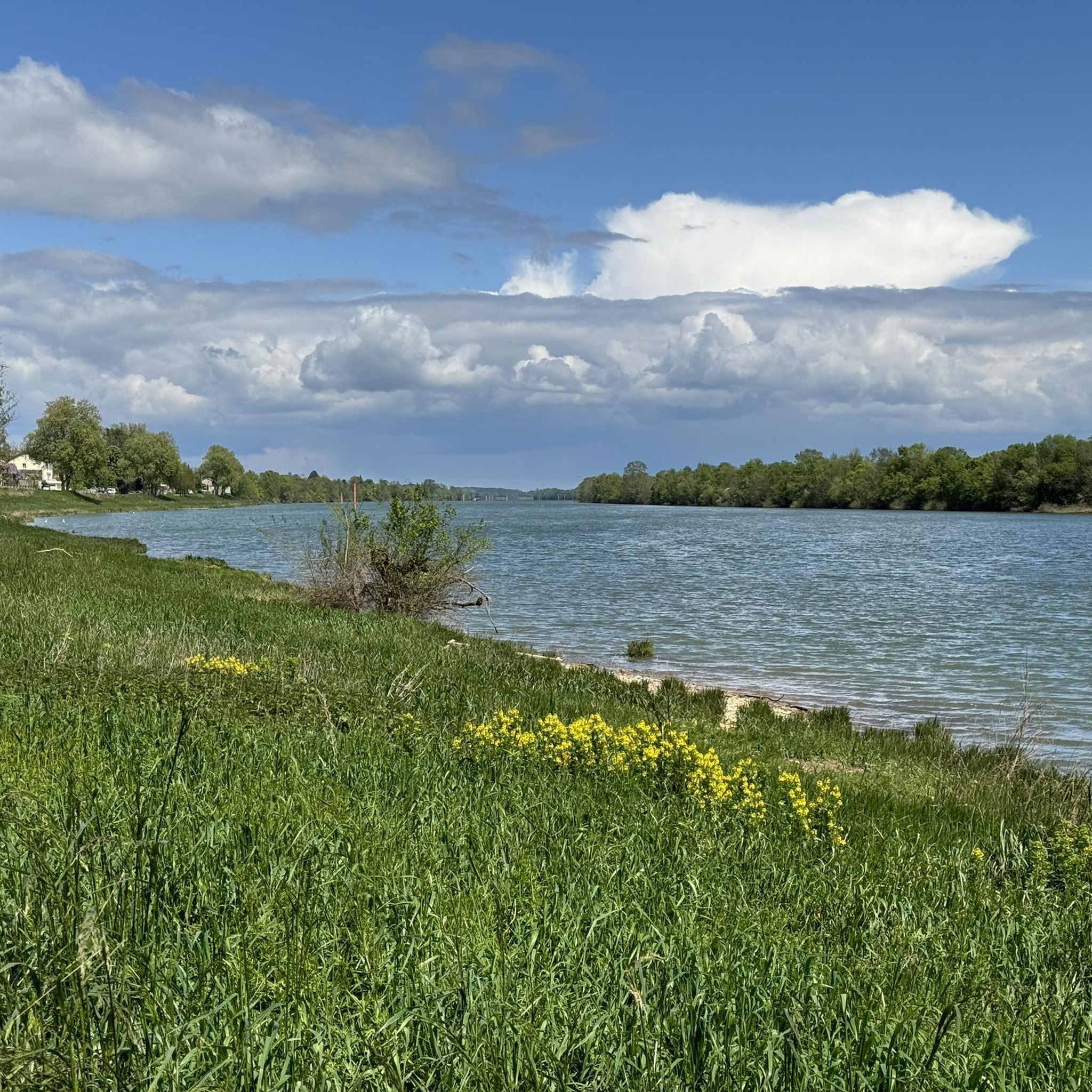
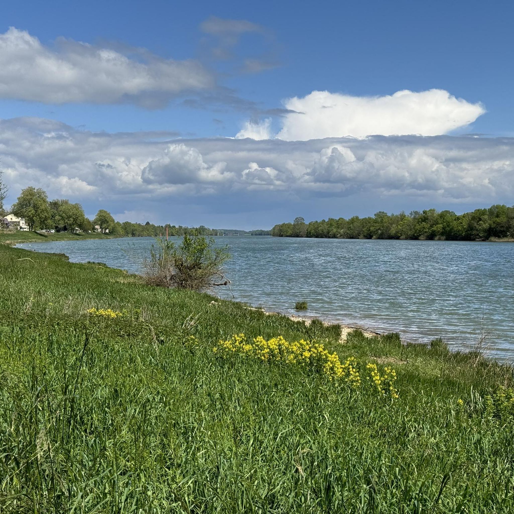
An idyllic, paved cycle path directly on the riverbank. It is a section of the well-known French long-distance cycle route „La Voie Bleue - Moselle-Saône Radweg" (Route V50) along the Saône. The entire long-distance cycle route covers around 700 kilometers from the Luxembourg border town of Apach (near the tripoint) to Lyon. The Saône section follows the natural meanders of the Saône, passing meadows, historic villages, and well-known wine-growing regions such as Mâcon. The route is mostly flat on former towpaths.
0
0
An idyllic, asphalted cycle path right on the riverbank. This is a section of the well-known French long-distance cycle route "La Voie Bleue - Moselle-Saône Radweg" (Route V50) along the Saône. The entire long-distance cycle route runs for around 700 kilometers from the French border town of Apach (near the tripoint) to Lyon. The Saône section follows the natural meanders of the Saône, passing meadows, historic villages, and well-known wine-growing regions such as Mâcon. The route runs mostly flat on former towpaths.
0
0
The Plan d'Eau de Fleurville (also known as Gravière de Fleurville) is a beautiful recreational and natural lake in the Saône-et-Loire department. The body of water is located directly on the border of the municipalities of Saint-Albain and Fleurville on the Saône. It is a former gravel pit that has been renatured and is today an important refuge for biodiversity as well as a popular excursion destination. The lake is equipped with picnic tables, fishing piers, and observation points. It is an excellent place for hiking, cycling (near the Voie Bleue cycle path), and birdwatching (e.g. for storks and migratory birds).
0
0
The Maison de Bois (Wooden House) is located at Place aux Herbes in the center of Mâcon. It is the oldest and most famous residential building in the city. It was built between 1490 and 1510. The ground floor is made of masonry, while the three floors above are built entirely of wood. The wooden structure is famous for its countless, partly grotesque and suggestive carvings. Mythical creatures, monkey masks, and naked and winged figures can be seen. Today, a popular bar-restaurant is located on the ground floor.
1
0
The Berges de la Saône (the riverbank promenade of the Saône River) is a modernized riverbank section in the Burgundy region of France, near the road du Pont Vert. This paved riverside path is a popular section of the well-known La Voie Bleue cycle route (Moselle-Saône cycle route) and serves as a recreational and event area for both pedestrians and cyclists.
1
0

Along the Saône runs the unfortunately often unpaved, patchy Voie Bleu ("Blue Way"). Incidentally, there is only one Voie Bleu, unlike the Voies Vertes. From Wikivoyage.
1
0

Pretty bridge at Flacé, in the footsteps of Lamartine, which leads towards Grisière.
0
0
Frequently Asked Questions
How many running routes are available around Sancé?
Komoot features around 15 dedicated running routes in and around Sancé. These routes offer a diverse range of experiences, from flat riverside paths to more challenging trails with elevation changes, catering to various fitness levels.
Are there easy running routes suitable for beginners in Sancé?
Yes, Sancé offers several easy running options. The area is known for its relatively flat riverside paths along the Saône. A good example is the Berges de la Saône – Maison de Bois of Mâcon loop from Sancé, which is 9.8 km with minimal elevation, making it ideal for a relaxed run. Another accessible option is the PAPA course of Mâcon loop from Sancé, a moderate 6.1 km path with very little elevation gain.
Where can I find more challenging running trails in Sancé?
For runners seeking more challenging terrain, the Grisière hill to the west of Sancé offers inclines and rewarding views. The broader Mâconnais region also features rolling landscapes and wooded hilltops. The Bike park loop from Sancé is a more demanding 16.5 km trail with significant elevation gain, often taking over two hours to complete.
Are there any circular running routes in Sancé?
Many of the running routes around Sancé are designed as loops, providing convenient circular options. Popular choices include the Berges de la Saône – Maison de Bois of Mâcon loop from Sancé and the PAPA course of Mâcon loop from Sancé. These allow you to start and finish at the same point, making logistics easier.
What kind of scenic views can I expect on the running trails around Sancé?
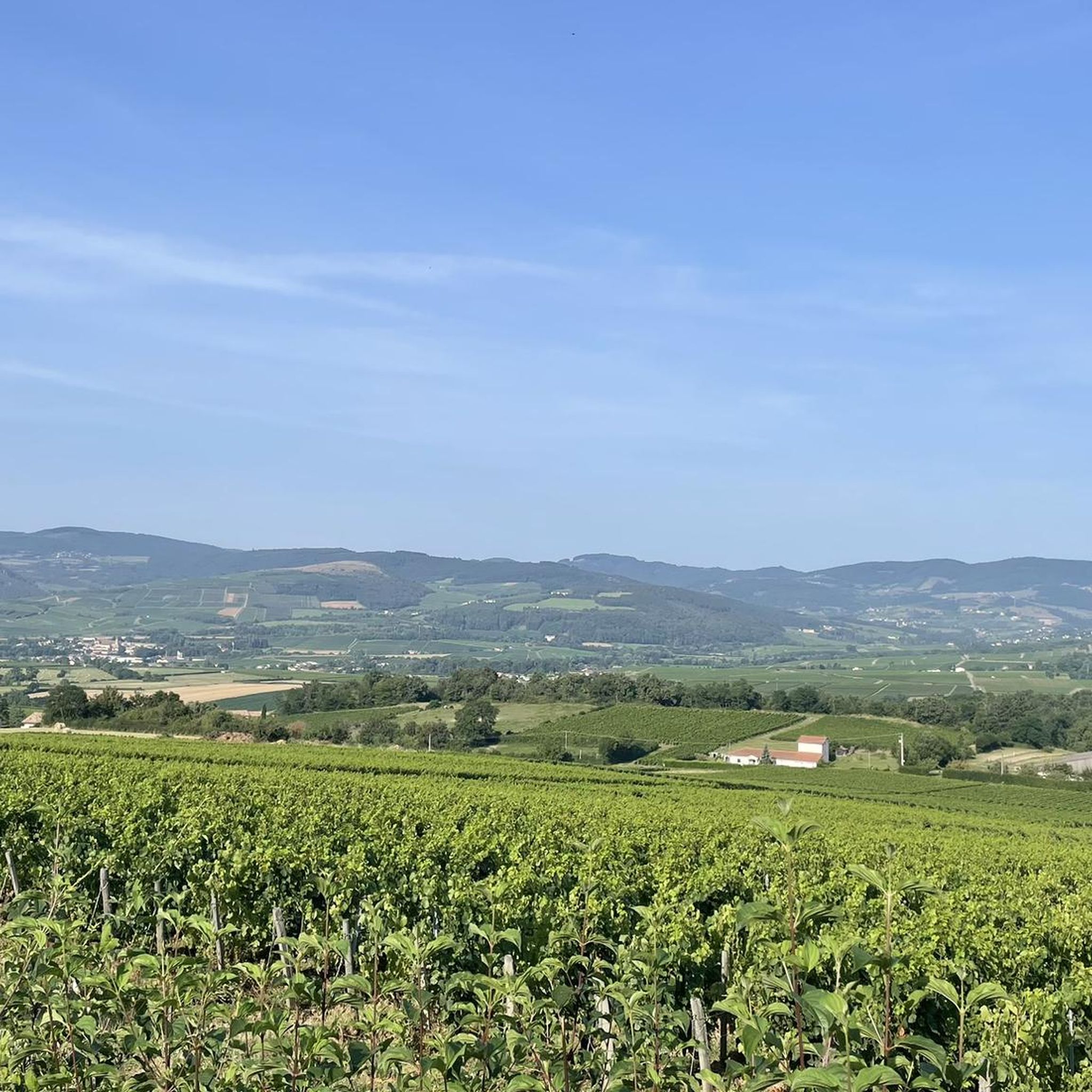
Jogging in Sancé offers diverse scenic views. You can enjoy pleasant riverside vistas along the Saône, especially on routes like the Between Mâcon and Fleurville loop from Sancé. Higher elevations, such as the Grisière hill, provide panoramic views over the northern part of Mâcon and the Mâconnais hills. The surrounding Mâconnais vineyards also create a picturesque backdrop for many runs.
Are there any interesting landmarks or attractions near the running routes?
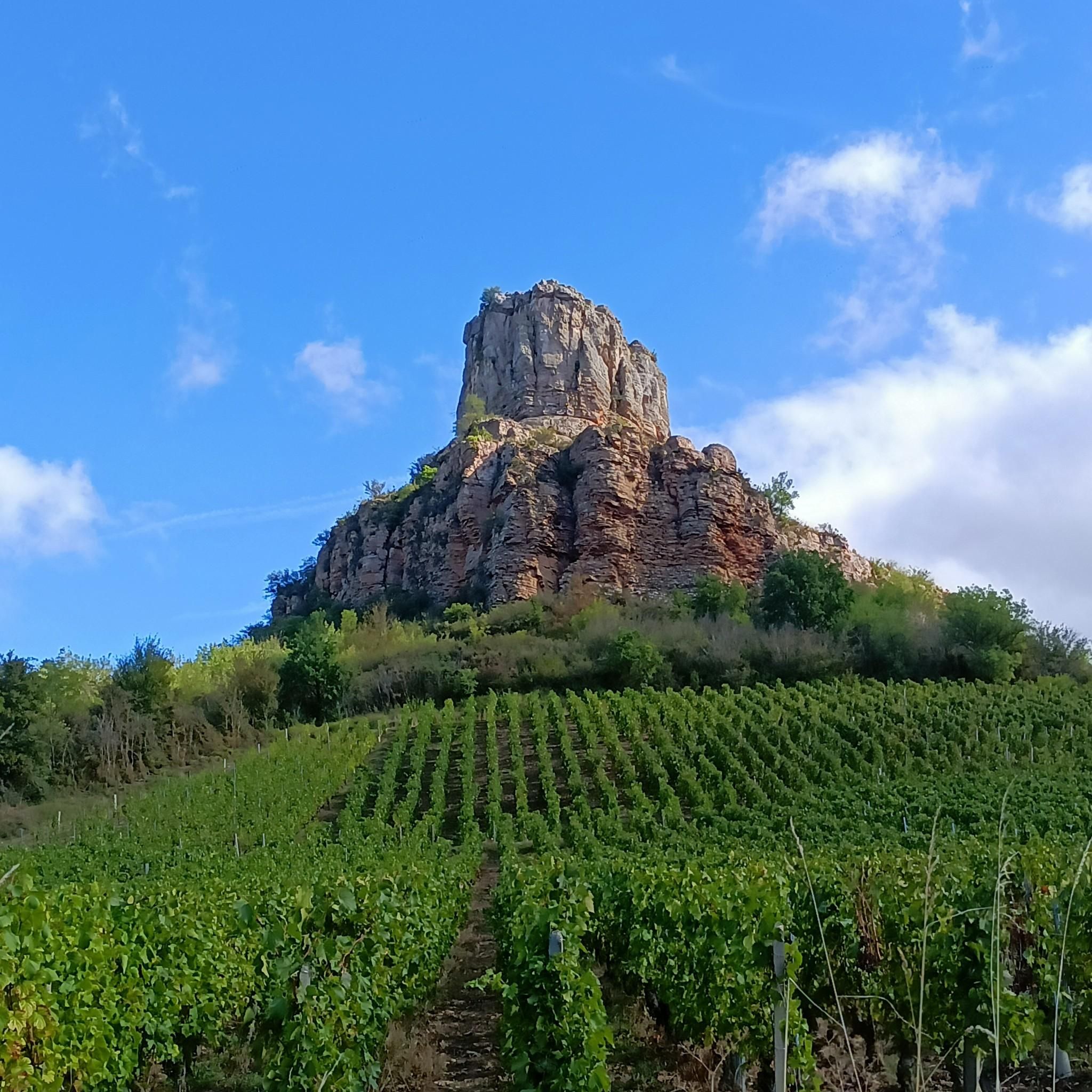
Yes, Sancé's location offers access to several notable attractions. While running, you might pass historical monuments like the 12th-century Romanesque Church of St. Paul. For a post-run exploration, the iconic Roche de Solutré, a monumental cliff with spectacular panoramic views, is approximately 9 kilometers away. You can also find viewpoints like the View of Mâcon and the Saône from the François Mitterand bridge.
What do other runners enjoy most about jogging in Sancé?
The running routes in Sancé are highly rated by the komoot community, with an average score of 4.6 stars from 86 reviews. Runners often praise the variety of terrain, from accessible riverside paths to undulating hills, and the picturesque vineyard landscapes. The blend of natural beauty and well-maintained trails makes it a popular choice for over 4000 runners who have explored the area with komoot.
Are there any running routes that are particularly suitable for families?
For families, the flatter, less challenging routes along the Saône riverbanks are generally the most suitable. These paths offer an easy to moderate terrain without significant elevation changes. The PAPA course of Mâcon loop from Sancé, at 6.1 km with minimal elevation, is a good option for a family outing.
Is Sancé a good place for dog-friendly running?
Sancé's natural environment, with its riverside paths and open landscapes, generally lends itself well to dog-friendly running. Many trails offer ample space for dogs, but it's always advisable to keep your dog on a leash, especially in more populated areas or near agricultural land, and to check local regulations regarding pets on specific paths.
What is the best time of year to go jogging in Sancé?
Sancé offers pleasant jogging conditions through much of the year. Spring and autumn provide mild temperatures and beautiful scenery, with blooming nature or vibrant fall colors. Summer can be warm, so early morning or late evening runs are often preferred. Winter jogging is also possible, especially on the less exposed riverside paths, though conditions may vary.
Are there any running routes that pass by cafes or places to get refreshments?
Given Sancé's proximity to Mâcon and its blend of urban and natural settings, routes that venture closer to the town center or along the Saône river are more likely to have cafes or refreshment spots nearby. The Berges de la Saône – Maison de Bois of Mâcon loop from Sancé, for instance, brings you close to Mâcon where amenities are readily available.
Is there public transport access to the running trails in Sancé?
Sancé is well-integrated with Mâcon, and local public transport options connect the commune to the larger urban area. This makes it possible to access various starting points for running routes without a car. It's recommended to check local bus schedules for specific routes and stops that align with your chosen trailheads.
Most popular attractions around Sancé

Get inspired with the komoot mobile app


Explore more
Browse the best Running Trails & Routes in other regions.
