The best running trails around Saint-Martin-Belle-Roche
4.6
(132)
5,991
runners
537
runs
Jogging around Saint-Martin-Belle-Roche offers access to varied terrain, characterized by riverside paths along the Saône and tranquil lake areas. The region features generally accessible paths with minimal elevation gain, making it suitable for casual running. Its proximity to Mâcon provides additional developed running routes and urban park spaces, while areas like Fleurville Lake offer serene environments for outdoor activity.
Best jogging routes around Saint-Martin-Belle-Roche
- The most popular jogging route is PAPA course of Mâcon loop from Vésines, a 7.1 miles (11.5 km) trail that takes 1 hour 11 minutes to complete. This moderate route offers views of the Mâcon area.
- Another top favourite among local runners is Running loop from Saint-Jean-le-Priche, a moderate 5.8 miles (9.3 km) path. This route includes some elevation gain, providing a varied running experience.
- Local runners also love the Between Tournus and Mâcon – Between Mãcon and Fleurville loop from Senozan, a 4.8 miles (7.7 km) trail leading through the area between Tournus and Mâcon, often completed in about 48 minutes.
- Jogging around Saint-Martin-Belle-Roche is defined by riverside paths, lake areas, and accessible routes near Mâcon. The network offers options for different ability levels, from casual jogs to more moderate runs.
- The routes in Saint-Martin-Belle-Roche are highly rated by the komoot community with an average score of 4.6 stars from over 100 reviews. More than 4000 runners have used komoot to explore Saint-Martin-Belle-Roche's varied terrain.
Last updated: November 11, 2026
5.0
(9)
207
runners
11.5km
01:12
20m
20m
Moderate run. Good fitness required. Mostly paved surfaces.
20
runners
12.3km
01:25
140m
150m
Moderate run. Good fitness required. Mostly paved surfaces.

5.0
(1)
20
runners
9.30km
01:03
80m
80m
Moderate run. Good fitness required. Mostly paved surfaces.
5.0
(1)
37
runners
Hard run. Very good fitness required. Mostly paved surfaces.
13
runners
25.2km
03:02
420m
420m
Hard run. Very good fitness required. Mostly paved surfaces.
Get access to more routes and recommendations from other explorers.
Already have an account?
Our route recommendations are based on thousands of hikes, rides, and runs completed by other people on komoot.
Start today with a free account
Your next adventure awaits.

Tips from the Community

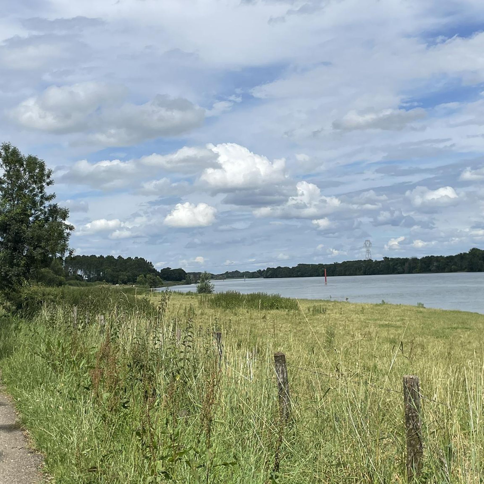
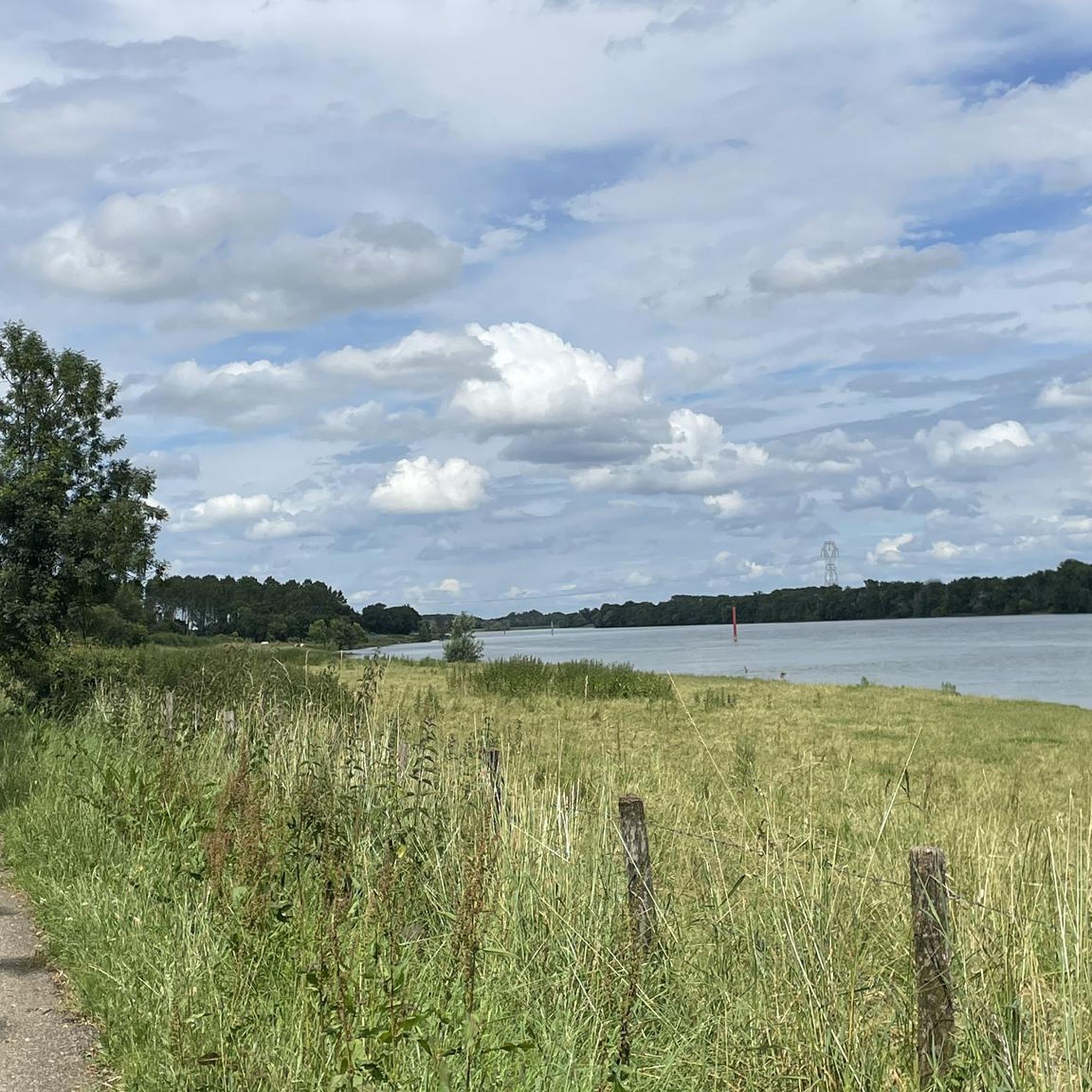
An idyllic, paved cycle path directly on the riverbank. It is a section of the well-known French long-distance cycle route „La Voie Bleue - Moselle-Saône Radweg" (Route V50) along the Saône. The entire long-distance cycle route covers around 700 kilometers from the Luxembourg border town of Apach (near the tripoint) to Lyon. The Saône section follows the natural meanders of the Saône, passing meadows, historic villages, and well-known wine-growing regions such as Mâcon. The route is mostly flat on former towpaths.
0
0
An idyllic, asphalted cycle path right on the riverbank. This is a section of the well-known French long-distance cycle route "La Voie Bleue - Moselle-Saône Radweg" (Route V50) along the Saône. The entire long-distance cycle route runs for around 700 kilometers from the French border town of Apach (near the tripoint) to Lyon. The Saône section follows the natural meanders of the Saône, passing meadows, historic villages, and well-known wine-growing regions such as Mâcon. The route runs mostly flat on former towpaths.
0
0

Along the Saône runs the unfortunately often unpaved, patchy Voie Bleu ("Blue Way"). Incidentally, there is only one Voie Bleu, unlike the Voies Vertes. From Wikivoyage.
1
0


Very flat, easy, although a little monotonous...
2
0

From this passage of the Voie Bleue, we have a lovely view of the Saône. Depending on the weather, the color of the water alternates between blue and green.
3
0
At this point on the Voie Bleue, the Mouge flows into the Saône. The low water level favors vegetation and the places are known to fishermen for their fish-rich waters. It is a pleasant site for a break with a beautiful view of the river.
3
0

A beautiful view of the Saône as well as a nice picnic area in the shade of the tree (there are no benches however).
3
0
Frequently Asked Questions
How many running routes are available around Saint-Martin-Belle-Roche?
There are over 500 running routes in the Saint-Martin-Belle-Roche area, catering to various preferences and fitness levels. This includes a mix of easy, moderate, and challenging trails.
What kind of terrain can I expect on the jogging trails in this region?
The region offers diverse terrain, from accessible riverside paths along the Saône with minimal elevation gain to more varied routes near Mâcon and around Fleurville Lake. Some moderate trails also feature more significant elevation changes for those seeking a challenge.
Are there running routes suitable for beginners or those looking for an easy jog?
Yes, Saint-Martin-Belle-Roche has several easy running routes. Approximately 27 routes are classified as easy, featuring generally accessible paths with minimal elevation gain, ideal for casual jogging or beginners.
Can I find routes with scenic views or interesting landmarks?
Absolutely. Many routes offer picturesque views, especially along the Saône river. You can enjoy sights like the View of Mâcon and the Saône from the François Mitterand bridge or the tranquil setting of Fleurville Lake. The region's proximity to sites like the Roche de Solutré also means impressive natural beauty is within reach.
Are there any circular running routes in Saint-Martin-Belle-Roche?
Yes, many of the running trails around Saint-Martin-Belle-Roche are designed as loops, allowing you to start and finish at the same point. For example, the Running loop from Saint-Martin-Belle-Roche offers a convenient circular option directly from the village.
What do other runners enjoy most about jogging in Saint-Martin-Belle-Roche?
The running routes in Saint-Martin-Belle-Roche are highly rated by the komoot community, with an average score of 4.6 stars from over 100 reviews. Runners often praise the varied terrain, the accessible paths, and the serene environments like those found near Fleurville Lake and along the Saône.
Are the running trails in Saint-Martin-Belle-Roche dog-friendly?
Many outdoor areas in the region, including riverside paths and natural areas, are generally dog-friendly. However, it's always recommended to keep your dog on a leash, especially in populated areas or near wildlife, and to check for any specific local regulations on individual trails.
Are there family-friendly running options in the area?
Yes, the region offers several family-friendly running options, particularly the easier routes with minimal elevation gain. The paths along the Saône river and around Fleurville Lake are often suitable for families, providing a pleasant and safe environment for a jog or walk together.
What is the best time of year to go jogging in Saint-Martin-Belle-Roche?
The region is pleasant for jogging throughout much of the year. Spring and autumn offer mild temperatures and beautiful scenery. Summer can be warm, so early morning or late afternoon runs are ideal. Winter jogging is also possible, though some paths might be affected by weather conditions.
Are there any longer running routes for experienced runners?
Yes, for those seeking longer distances, routes like the Running loop from Senozan cover over 12 kilometers (7.5 miles) and include moderate elevation changes, providing a more challenging experience for experienced runners.
Is parking available near the running routes?
Parking is generally available in and around Saint-Martin-Belle-Roche, particularly near popular starting points for trails and in nearby towns like Mâcon. Specific parking information can often be found on individual route descriptions on komoot.
Can I access running routes using public transport?
Saint-Martin-Belle-Roche is located near Mâcon, which serves as a regional transport hub. While direct public transport to every trailhead might be limited, accessing the general area by public transport and then starting your run is often feasible. Checking local bus schedules for connections to villages near trailheads is advisable.
Most popular routes around Saint-Martin-Belle-Roche
Most popular attractions around Saint-Martin-Belle-Roche

Get inspired with the komoot mobile app


Explore more
Browse the best Running Trails & Routes in other regions.
