The best road cycling routes around Sulzbach
4.5
(685)
19,863
riders
156
rides
Road cycling routes around Sulzbach offer varied terrain, from challenging mountain passes to moderate loops through valleys. The region features significant elevation changes, with routes ascending through forested areas and past notable cols. Paved roads are common, providing a suitable surface for road cyclists. The landscape is characterized by its mountainous profile and scenic views.
Best road cycling routes around Sulzbach
- The most popular road cycling route is Pinot Bend – Col de la Schlucht loop from Wihr-au-Val - Soultzbach…
Last updated: October 14, 2026
4.9
(45)
2,473
riders
79.3km
04:28
1,810m
1,810m
Hard road ride. Very good fitness required. Some segments of this route may be unpaved and difficult to ride.
4.7
(63)
1,381
riders
64.0km
03:19
1,140m
1,140m
Hard road ride. Very good fitness required. Mostly well-paved surfaces and easy to ride.

4.9
(9)
225
riders
101km
05:21
1,800m
1,800m
Hard road ride. Very good fitness required. Mostly well-paved surfaces and easy to ride.
42
riders
27.3km
01:40
740m
740m
Moderate road ride. Good fitness required. Mostly well-paved surfaces and easy to ride.
34
riders
104km
05:25
1,580m
1,580m
Hard road ride. Very good fitness required. Mostly well-paved surfaces and easy to ride.
Get access to more routes and recommendations from other explorers.
Already have an account?
Our route recommendations are based on thousands of hikes, rides, and runs completed by other people on komoot.
Start today with a free account
Your next adventure awaits.
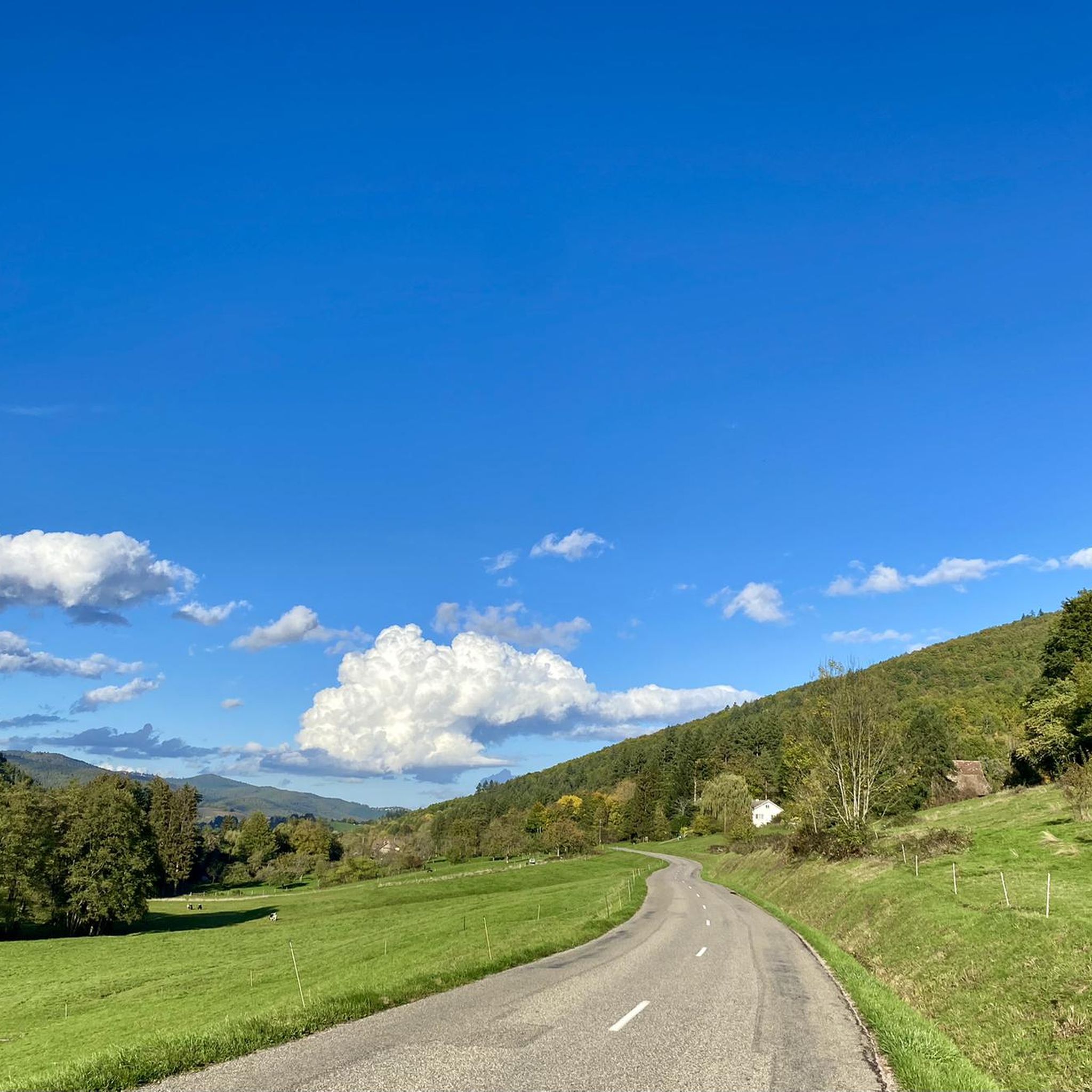
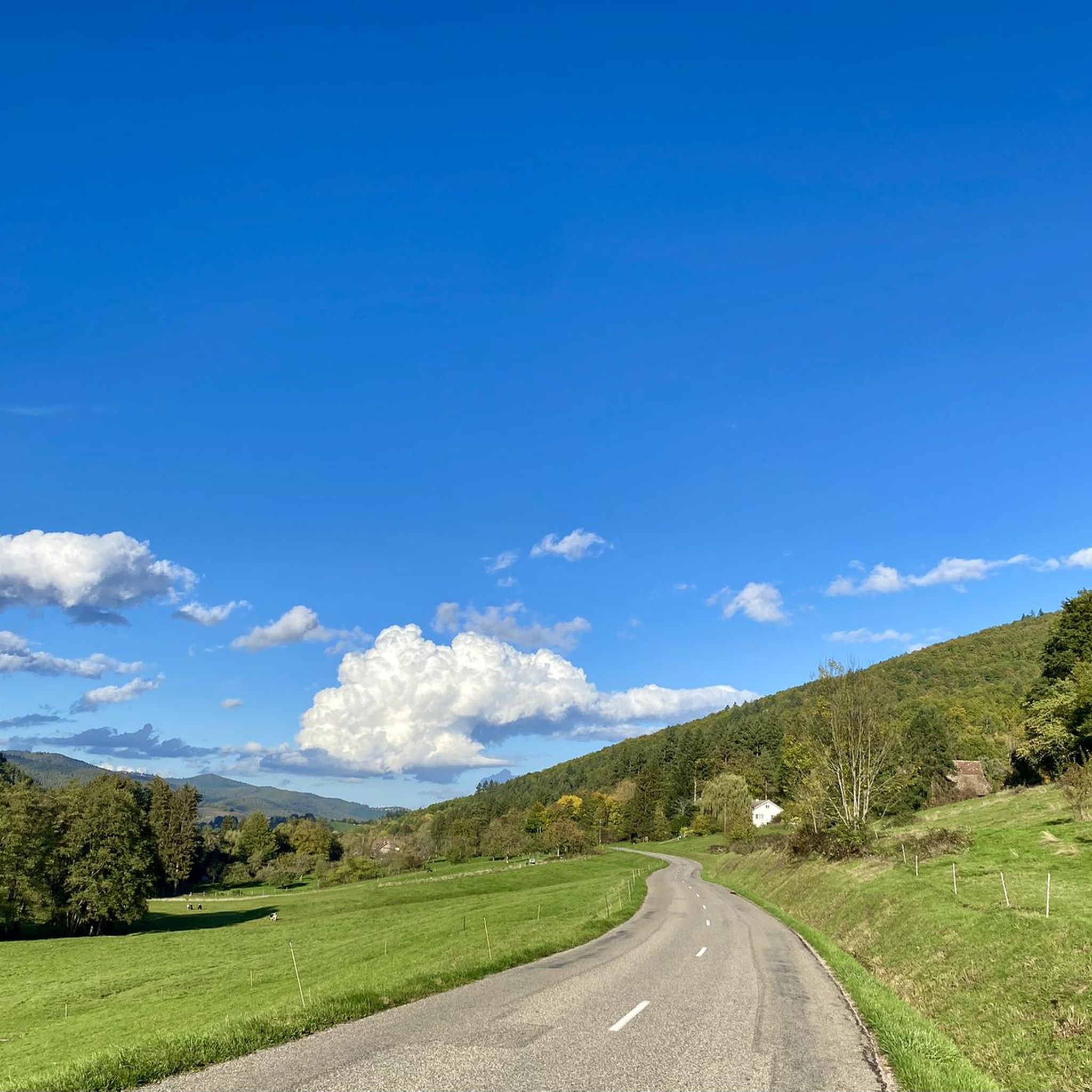
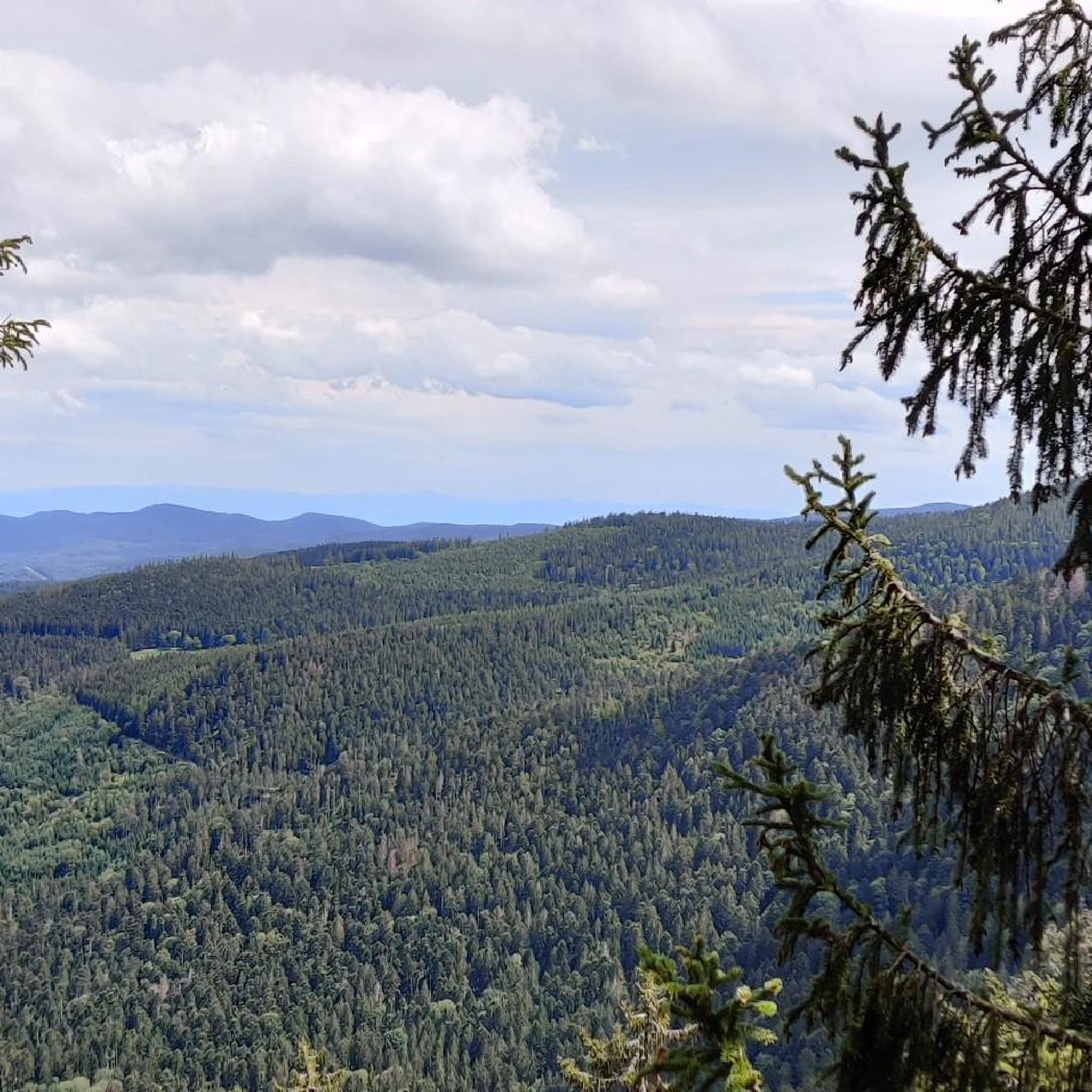
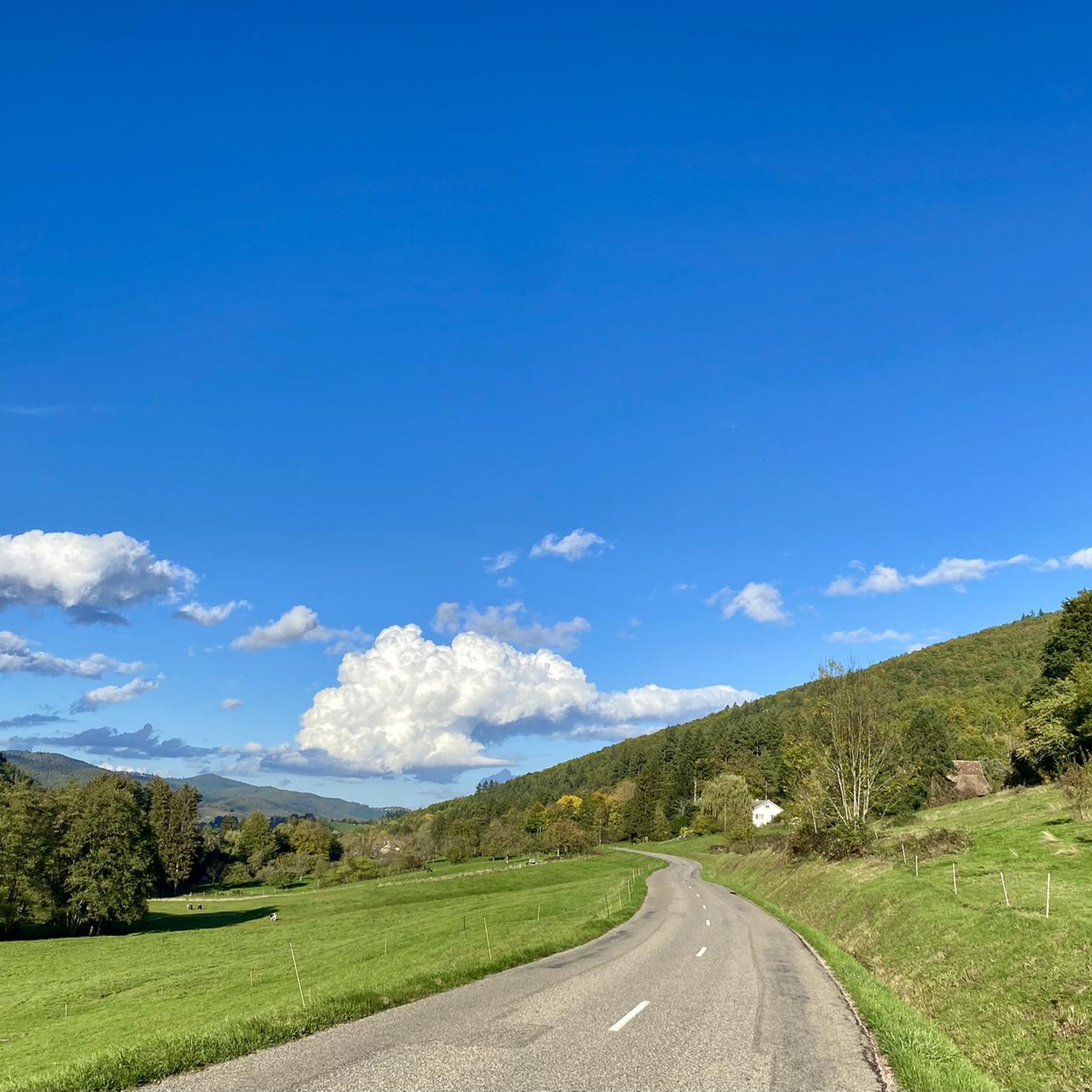

Tips from the Community

Unfortunately, recently (a few weeks ago), a "Non-Potable Water" sign has been put up at the water point.
0
0

The ascent to the Col du Firstplan from Soultzbach-les-Bains is steady. The road surface is good and occasionally a tuned car whizzes past. There are few lay-bys on the roadside for a short stop, but at the top of the Col there is a picnic area.
0
0

Excellent bakery, I recommend the corn bread as well as the Süweckla, a type of small crispy bread. The baguettes are just as delicious. Not to be missed!
0
0


Beautiful small town with a great village square, where there is always a party on Wednesdays in the summer. The cafe l´etang des Pains is highly recommended. You can have breakfast and enjoy coffee and cake there, or buy a packed lunch for hikers... very delicious!
0
0
More info here; https://www.quaeldich.de/paesse/col-du-firstplan/
0
0


Frequently Asked Questions
How many road cycling routes are available around Sulzbach?
There are over 160 road cycling routes around Sulzbach, offering a wide range of options for different skill levels. You'll find everything from moderate loops to challenging mountain passes.
Are there easy road cycling routes suitable for beginners or families in the Sulzbach area?
Yes, the Sulzbach area offers approximately 21 easy road cycling routes. These routes typically feature less elevation gain and shorter distances, making them ideal for beginners or those looking for a more relaxed ride. For a moderate option, consider the Saint-Léger Church of Munster – Quiet road entry/exit Munster loop from Wihr-au-Val - Soultzbach, which is about 26.7 km long.
What kind of terrain can I expect on road cycling routes around Sulzbach?
Road cycling around Sulzbach is characterized by its mountainous profile, featuring significant elevation changes, forested slopes, and scenic valleys. You'll encounter challenging climbs and descents, often on paved roads, as you traverse mountain passes like the Col de la Schlucht and Col du Wettstein.
What are some of the more challenging road cycling routes in the Sulzbach region?
For experienced road cyclists seeking a challenge, Sulzbach offers numerous difficult routes. Popular options include the Pinot Bend – Col de la Schlucht loop from Wihr-au-Val - Soultzbach, a demanding 79.6 km route with over 1800 meters of elevation gain, and the Le Linge (976m) – Fréland Pass loop from Gunsbach - Griesbach, which spans over 125 km with more than 2100 meters of climbing.
What is the best season for road cycling in Sulzbach?
The best season for road cycling in the mountainous Sulzbach region is typically from spring through autumn. During these months, the weather is generally more favorable, and mountain passes are clear of snow, offering optimal conditions for exploring the diverse terrain. Winter cycling can be challenging due to snow and ice at higher elevations.
Are there any notable landmarks or attractions to see along the road cycling routes?
Yes, the region offers several points of interest. You might encounter historical sites like the Galtz Monument. For those interested in mountain passes, the Boenlesgrab Pass is a notable feature. The routes often wind through picturesque forests and offer stunning views of the surrounding landscape.
What do other road cyclists enjoy most about road cycling in Sulzbach?
The road cycling routes around Sulzbach are highly rated by the komoot community, with an average score of 4.6 stars from over 500 reviews. Cyclists frequently praise the challenging mountain passes, the beautiful forested scenery, and the well-maintained paved roads that make for an excellent riding experience.
Can I find places to rest or eat along the road cycling routes?
While specific cafes are not listed for every route, the region around Sulzbach, particularly in the valleys and villages, often has opportunities for refreshments. You might also find mountain huts or inns, such as the Kahlenwasen Farm Inn or Rothenbrunnen Hut (Friends of Nature), which can provide a welcome break during longer rides.
How long do the road cycling routes typically take to complete?
The duration of routes varies significantly based on distance and elevation. Easier routes might take a couple of hours, while more challenging ones, like the Bagenelles Pass – Col de la Schlucht loop from Gunsbach - Griesbach (over 100 km), can take around 5 hours and 20 minutes for an experienced rider.
Are there any circular road cycling routes available?
Yes, many of the road cycling routes around Sulzbach are designed as loops, allowing you to start and finish at the same point. Examples include the Pinot Bend – Col de la Schlucht loop and the Col du Wettstein – Schlucht pass loop, both starting from Wihr-au-Val - Soultzbach.
What is the average elevation gain on road cycling routes in Sulzbach?
The average elevation gain varies greatly depending on the route's difficulty and length. Difficult routes can feature significant climbs, with some exceeding 1800 meters of elevation gain, such as the Pinot Bend – Col de la Schlucht loop. Even moderate routes will typically include several hundred meters of climbing.
Most popular routes around Sulzbach
Most popular attractions around Sulzbach

Get inspired with the komoot mobile app


Explore more
Browse the best Road cycling routes in other regions.
