The best walks and hikes around Eschbach-Au-Val
4.6
(15236)
69,673
hikers
834
hikes
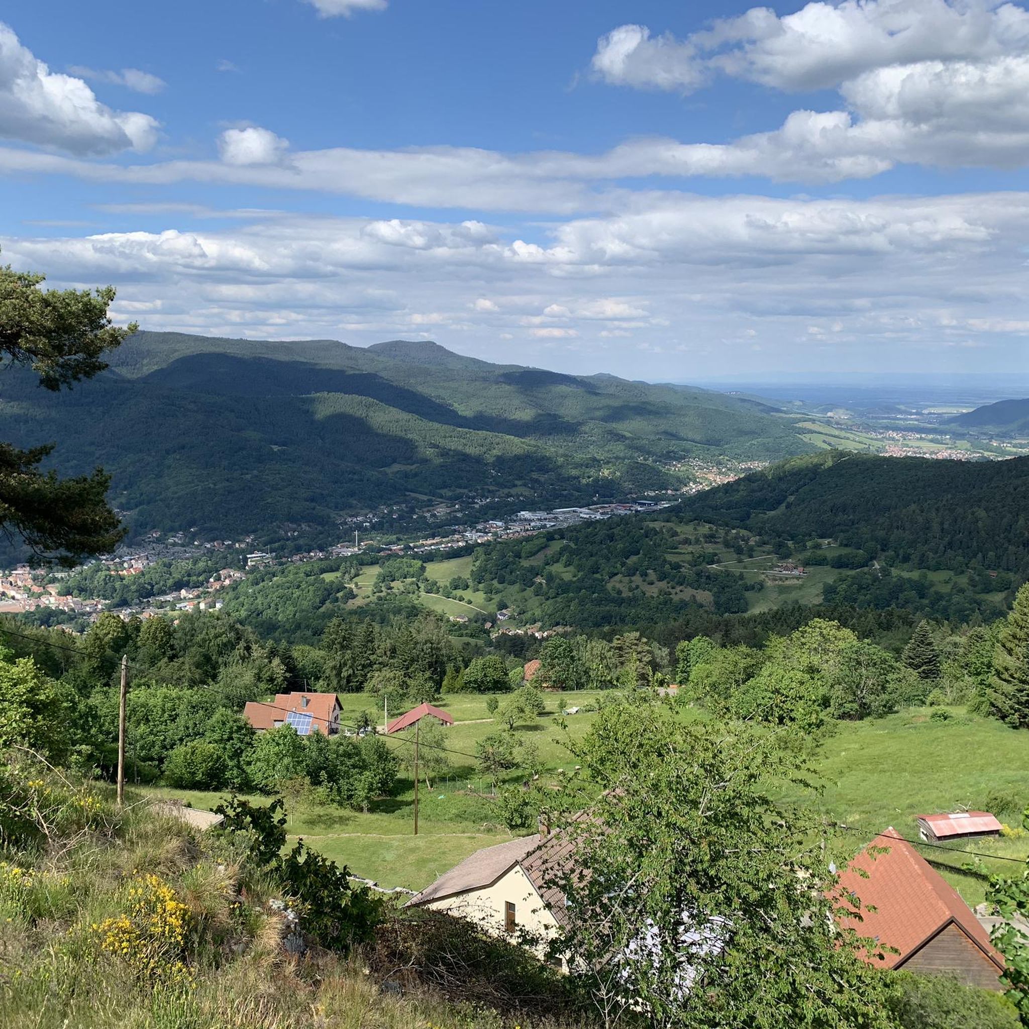
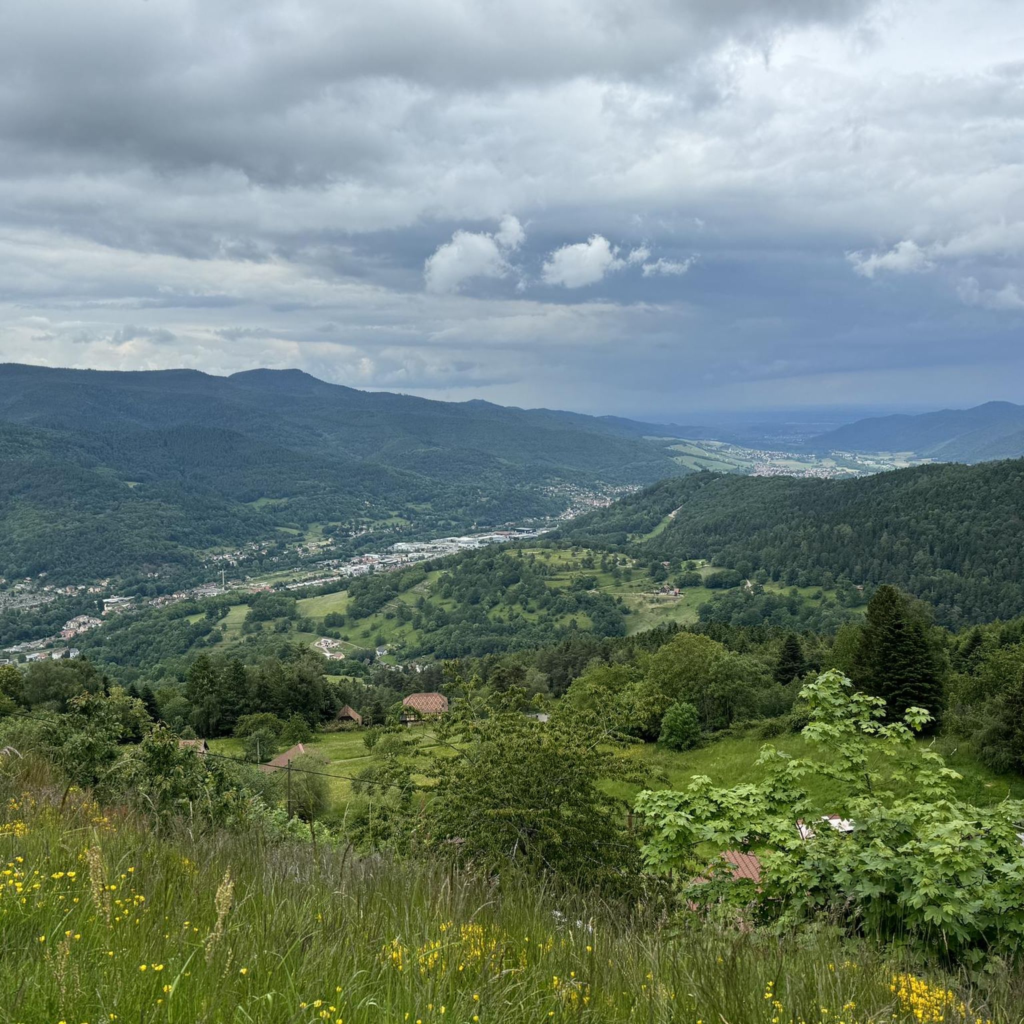
Hiking around Eschbach-Au-Val provides access to the Southern Vosges Mountains in France, characterized by a diverse landscape of lush forests, agricultural lands, and meadows. The commune itself ranges in altitude from 389 to 905 meters, surrounded by higher Vosgian summits like the Petit Ballon (1,272 meters) and Hohneck (1,363 meters). This region, nestled within the Munster Valley, offers varied terrain from accessible valley trails to challenging mountain ascents.
Best hiking trails around Eschbach-Au-Val
- The most popular hiking route is View…
Last updated: October 4, 2026
4.7
(100)
316
hikers
6.93km
02:01
180m
180m
Moderate hike. Good fitness required. Easily-accessible paths. Suitable for all skill levels.
4.8
(29)
110
hikers
16.7km
05:23
680m
680m
Hard hike. Very good fitness required. Mostly accessible paths. Sure-footedness required.

4.8
(31)
153
hikers
19.7km
06:43
940m
940m
Hard hike. Very good fitness required. Mostly accessible paths. Sure-footedness required.
4.5
(53)
198
hikers
7.40km
02:13
230m
230m
Moderate hike. Good fitness required. Easily-accessible paths. Suitable for all skill levels.
4.2
(11)
83
hikers
10.4km
03:14
380m
380m
Moderate hike. Good fitness required. Easily-accessible paths. Suitable for all skill levels.
Get access to more routes and recommendations from other explorers.
Already have an account?
Our route recommendations are based on thousands of hikes, rides, and runs completed by other people on komoot.
Start today with a free account
Your next adventure awaits.

Tips from the Community

via gravel road approx. 700m east of the Col du Petit Ballon. From the pass summit itself, the view is (somewhat) limited. On the descent there are wonderful views small parking possibility, surrounded by forest and meadow
0
0

East of the Albert-Schweitzer-Schule, the park was created in the 1960s as the third park in the north of the city.
3
0
The historic town hall in Münster on the Prinzipalmarkt is a protected architectural and cultural monument. It is famous as the site of the Peace of Westphalia of 1648.
2
0

Tomb of Jean Giovanni, who disappeared in 1915
0
0

Really beautiful building in equally beautiful surroundings! There's so much exciting architecture to enjoy here!
2
0

A challenge on a mountain bike without a motor. But the downhill trails are great. It's worth it 👍🏻
2
0

A statue of the Virgin watches over the valley from the summit of Petit Ballon. It was erected by the tenant of the Ballon farm in 1862 after surviving a violent snowstorm in 1860.
3
0

Small park near the train station. In the middle there is a stage in the form of a pavilion.
2
0
Frequently Asked Questions
How many hiking trails are available around Eschbach-Au-Val?
There are over 800 hiking routes around Eschbach-Au-Val, offering a wide range of options from easy strolls to challenging mountain ascents. The komoot community has rated these trails highly, with an average score of 4.6 stars from over 9,600 reviews.
What kind of terrain can I expect on hikes in Eschbach-Au-Val?
The region offers diverse terrain, from the lush forests covering 66% of the area to agricultural lands and meadows in the Munster Valley. You'll encounter varied landscapes, including accessible valley trails and higher Vosgian summits like the Petit Ballon and Hohneck, providing a mix of gentle paths and more strenuous climbs.
Are there easy hiking trails suitable for beginners in Eschbach-Au-Val?
Yes, Eschbach-Au-Val offers a good selection of easier trails. There are over 240 routes classified as easy, perfect for those new to hiking or looking for a relaxed walk through the picturesque Munster Valley.
Are there challenging hikes for experienced trekkers?
Absolutely. For experienced trekkers, there are over 130 difficult routes available. These often lead to higher Vosgian summits such as the Petit Ballon or Hohneck, offering significant elevation gains and rewarding panoramic views. An example is the Statue of the Virgin Mary – Petit Ballon loop from Munster, which is a challenging 19.7 km trail.
Can I find circular hiking routes in the Eschbach-Au-Val area?
Yes, many routes in the area are circular, allowing you to start and end at the same point. For instance, the View of the Vosges – Descent to Munster loop from Munster is a popular moderate circular trail offering scenic views.
What notable landmarks or viewpoints can I see while hiking?
The region is rich in natural landmarks and viewpoints. You can hike to panoramic peaks like the Petit Ballon (1,272 m) and Hohneck (1,363 m) for breathtaking 360-degree vistas. The area also features the Steinberg rocks, and you might encounter historic sites like various castles, such as The Three Castles of Eguisheim or Hohlandsbourg Castle, in the wider vicinity.
Are there any waterfalls to discover on hikes near Eschbach-Au-Val?
Yes, you can find natural features like waterfalls in the area. One notable spot is the Waterfall on Sentier des Roches, which can be a refreshing sight during your hike.
Can I find places to eat or rest along the trails?
Yes, the region is known for its traditional Ferme-Auberges (farm inns) strategically located along hiking routes. These provide opportunities for refreshments and meals, often with spectacular views. Examples include Ferme-Auberge du Hahnenbrunnen and Ferme-Auberge du Schnepfenried.
Are there family-friendly walks around Eschbach-Au-Val?
The Munster Valley offers accessible trails suitable for families, with options for lakeside breaks or exploration within the Vosges forests. Many of the easier routes are well-suited for families with children.
Are dogs allowed on the hiking trails in Eschbach-Au-Val?
Generally, dogs are welcome on most hiking trails in the Vosges Mountains, including around Eschbach-Au-Val. However, it's always recommended to keep them on a leash, especially in nature reserves or near grazing animals, and to check for specific local regulations.
What is the best time of year to go hiking in Eschbach-Au-Val?
The best time for hiking is typically from spring through autumn when the weather is mild and the trails are clear. In winter, the region transforms, offering opportunities for snowshoeing on certain trails, but some higher routes may be inaccessible due to snow.
Is parking available at trailheads in Eschbach-Au-Val?
Parking is generally available at common starting points for popular trails and in nearby villages. It's advisable to check specific trailhead information or village parking options before your hike.
How can I reach the hiking trails using public transport?
While some villages in the Munster Valley may have limited public transport connections, accessing specific trailheads directly by public transport can be challenging. It's often easier to drive to a starting point or use local taxi services from larger towns like Munster.
Most popular routes around Eschbach-Au-Val
Most popular attractions around Eschbach-Au-Val

Get inspired with the komoot mobile app


Explore more
Browse the best Hikes in other regions.
