The best walks and hikes around Wildenstein
4.5
(3107)
15,217
hikers
57
hikes
Hiking around Wildenstein offers access to diverse landscapes, including mountain summits, natural reserves, and bodies of water. The region features trails that traverse streams, lead to lakes, and ascend to peaks like Rothenbachkopf. Hikers can explore areas such as the Réserve naturelle de la Tourbière de Machais and discover waterfalls like Heidenbad. This varied terrain provides opportunities for different hiking experiences.
Best hiking trails around Wildenstein
- The most popular hiking route is Hinter Bockloch Stream – Kruth-Wildenstein Lake loop from Wildenstein, an 8.0 miles (12.8 km) trail that takes 3 hours 57 minutes to complete, featuring a stream and lake.
- Another top favourite among local hikers is Roche du Lac – Col de Bramont loop from Réserve naturelle de la Tourbière de Machais, a difficult 9.5 miles (15.3 km) path. This route explores a natural reserve and includes a lake and mountain pass.
- Local hikers also love the Rothenbachkopf (1,316 m) – Batteriekopf Summit loop from Réserve naturelle des hautes chaumes du Rothenbach, a 3.5 miles (5.6 km) trail leading through a natural reserve to mountain summits, often completed in about 1 hour 53 minutes.
- Hiking around Wildenstein is defined by mountain summits, natural reserves, streams, and lakes. The network offers options for different ability levels, from easy walks to difficult ascents.
- The routes in Wildenstein are highly rated by the komoot community with an average score of 4.6 stars from over 2,700 reviews. More than 14,000 hikers have used komoot to explore Wildenstein's varied terrain.
Last updated: October 2, 2026
4.7
(98)
318
hikers
13.0km
04:00
440m
440m
Moderate hike. Good fitness required. Easily-accessible paths. Suitable for all skill levels.
4.8
(51)
377
hikers
Hard hike. Very good fitness required. Sure-footedness, sturdy shoes and alpine experience required.

4.6
(23)
114
hikers
12.1km
03:25
240m
240m
Moderate hike. Good fitness required. Easily-accessible paths. Suitable for all skill levels.
4.9
(32)
151
hikers
Hard hike. Great for any fitness level. Sure-footedness, sturdy shoes and alpine experience required.
4.9
(11)
68
hikers
Hard hike. Very good fitness required. Sure-footedness, sturdy shoes and alpine experience required.
Get access to more routes and recommendations from other explorers.
Already have an account?
Our route recommendations are based on thousands of hikes, rides, and runs completed by other people on komoot.
Start today with a free account
Your next adventure awaits.

Tips from the Community

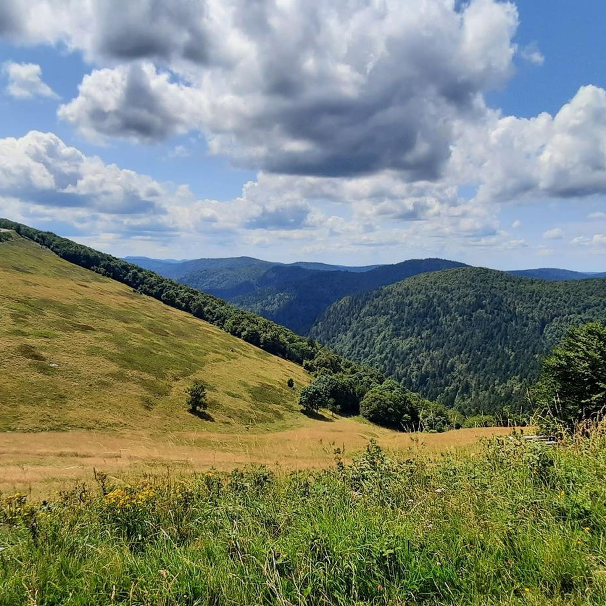
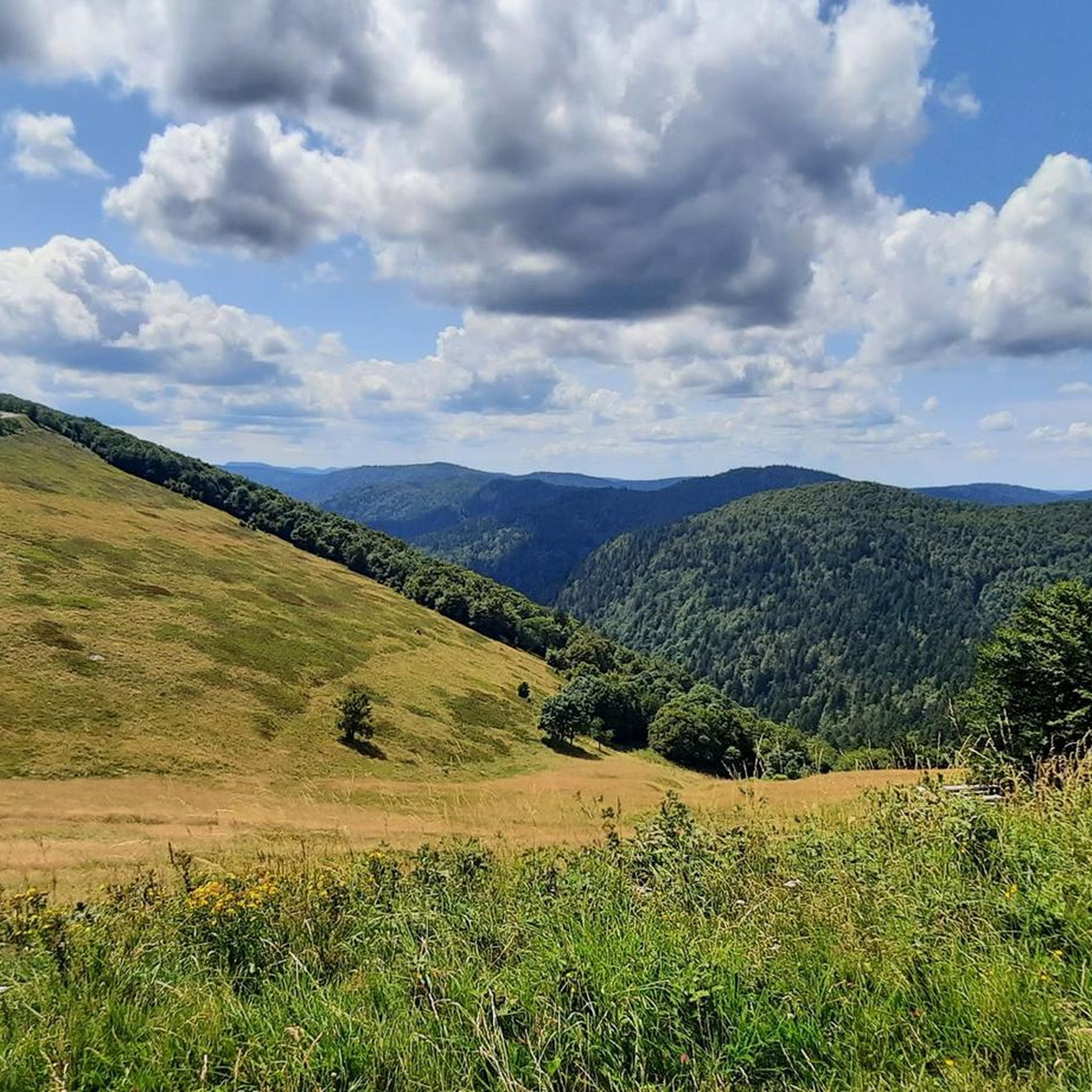
There are no restaurants or cafes at the summit of the Col de Bramont itself. However, the pass serves as a strategic junction. From the summit, you can directly connect to the famous Route des Crêtes (the D431), which links the main mountain peaks of the Vosges. This allows you to easily cycle or hike to larger attractions nearby, such as the Col de la Schlucht, the Hohneck, or the Grand Ballon. The climb is enjoyable due to its 12 hairpin bends on the southern flank (Kruth).
4
0
Stuwdam Lac de Kruth‑Wildenstein View over the quiet mountain lake on one side, and on the other side the steep, wooded rock face of the Thur valley.
5
0
The Cascade du Bockloch is an atmospheric waterfall in Alsace (Haut-Rhin department), located on the wooded northeastern bank (right bank) of the Kruth-Wildenstein Lake. The waterfall is fed by the Hinterbockloch mountain stream, which originates on the slopes of the nearby Grand Ventron massif. Water plunges here via an abrupt, steep rock face about 12 meters down into a small, photogenic basin, just before it flows into the reservoir.
4
0

Brilliant ascent to the pass relatively quiet with a pleasant gradient
4
0

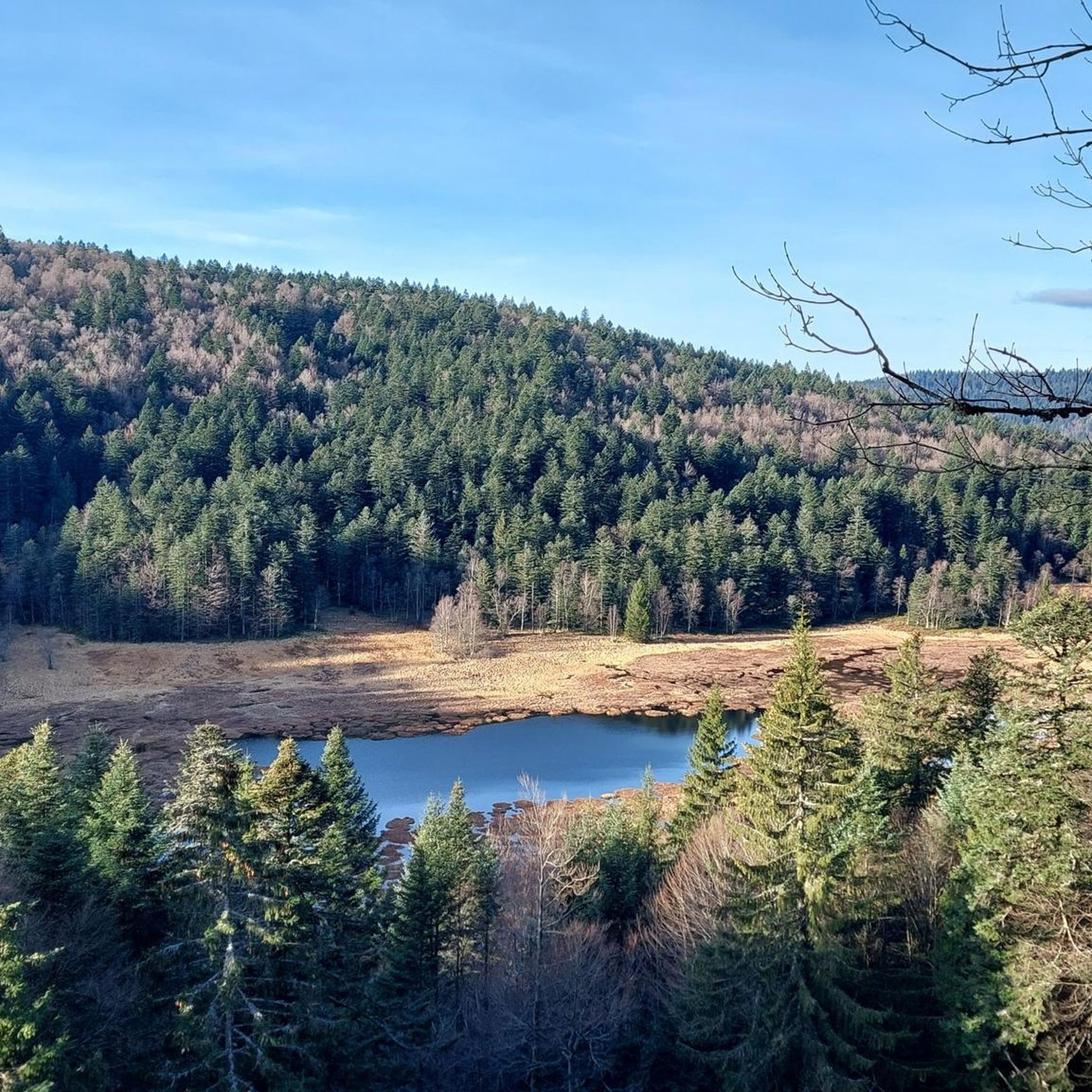
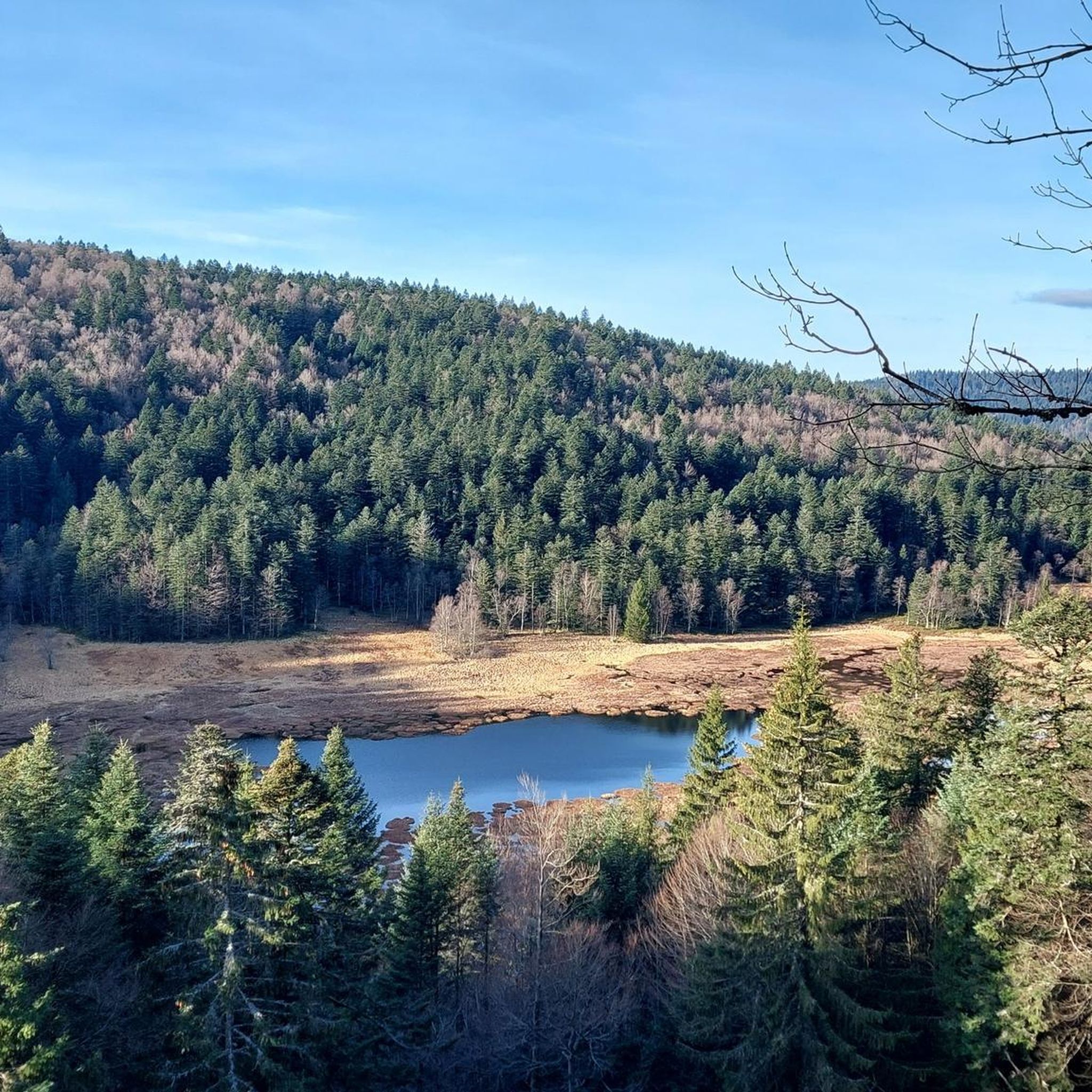
The Sèchemer pond is a small pond that you will find 40 minutes walk from the Lac des Corbeaux. It is possible to get there on foot or by mountain bike. Peaceful and quiet, you can stop there for a picnic and to admire the many dragonflies.
1
0
The shelter is located on the border of the Vosges and Haut-Rhin departments. It is also at this spot that the ridge line splits in two. The better-known one continues its route towards the Grand Ballon, while the second one pursues its path towards the Thanner Hubel. It was the Thur glacier that shaped this landscape 20,000 years ago.
3
0
This is the starting point for many hikes.
3
1
Frequently Asked Questions
How many hiking trails are available around Wildenstein?
Wildenstein offers a diverse network of over 60 hiking trails. These routes cater to various skill levels, from easy walks to more challenging ascents, exploring mountain summits, natural reserves, and bodies of water.
What kind of landscapes can I expect to see while hiking in Wildenstein?
The hiking trails around Wildenstein feature varied landscapes, including mountain summits like Rothenbachkopf, serene natural reserves such as the Réserve naturelle de la Tourbière de Machais, and picturesque bodies of water. You'll encounter streams, lakes, and even waterfalls like Heidenbad.
Are there any easy hiking trails suitable for beginners or a relaxed walk?
Yes, Wildenstein has 10 easy hiking trails. For a gentle and scenic option, consider the Heidenbad Waterfall – Heidenbad Waterfall loop from Wildenstein. This easy route is just over 1 mile long and features the beautiful Heidenbad waterfall.
What do other hikers say about the trails in Wildenstein?
The trails in Wildenstein are highly regarded by the komoot community, holding an average rating of 4.6 stars from over 2,700 reviews. More than 14,000 hikers have explored the region, often praising the diverse terrain and natural beauty.
Are there any circular hiking routes in Wildenstein?
Yes, many trails in Wildenstein are designed as loops. An example of a moderate circular route is the Hinter Bockloch Stream – Kruth-Wildenstein Lake loop from Wildenstein, which is 8 miles long and takes you past a stream and a lake.
Are there any challenging hikes for experienced trekkers?
Wildenstein offers 21 difficult trails for experienced hikers. A challenging option is the Rainkopf Summit – Rothenbachkopf (1,316 m) loop from Réserve naturelle de la Tourbière de Machais, which covers over 10 miles with significant elevation gain, leading to mountain summits.
What natural attractions or landmarks can I discover along the hiking routes?
Hikers can explore several natural attractions. The region features gorges like Wormspel Combe and the Phény stream, as well as the intriguing Dagobert's Cave. The Sentier des Roches is also a notable trail in the area.
Are there any huts or refuges along the trails for a break or refreshment?
Yes, there are several huts and refuges in the vicinity. You might come across places like the Ferme Auberge du Frankenthal, the Chalet/Refuge of the Three Ovens, or the Hinterbockloch Refuge, which can offer a welcome stop during your hike.
Are there any hikes that pass through natural reserves?
Absolutely. Wildenstein is home to natural reserves, and several trails traverse these protected areas. For instance, the Roche du Lac – Col de Bramont loop from Réserve naturelle de la Tourbière de Machais explores a natural reserve, a lake, and a mountain pass.
What is the typical duration for hikes in Wildenstein?
Hike durations vary significantly depending on the trail's length and difficulty. Easy walks can be completed in under an hour, while more challenging routes, such as the Roche du Lac – Col de Bramont loop, can take over 5 hours to complete.
Can I find trails that lead to mountain summits?
Yes, Wildenstein offers trails that ascend to mountain summits. The Rothenbachkopf (1,316 m) – Batteriekopf Summit loop from Réserve naturelle des hautes chaumes du Rothenbach is a great option, leading through a natural reserve to prominent peaks.
Most popular routes around Wildenstein
Most popular attractions around Wildenstein

Get inspired with the komoot mobile app


Explore more
Browse the best Hikes in other regions.
