The best road cycling routes around Saint-Forgeux-Lespinasse
4.4
(30)
745
riders
125
rides
Road cycling around Saint-Forgeux-Lespinasse offers varied landscapes within the Loire department, characterized by rolling hills, open plains, and elevated points. The region features peaceful forest roads and challenging ascents, including the Col de la Croix de Mazieux. Its topography, situated between the Monts du Forez and the Monts du Lyonnais, provides diverse terrain for cyclists. This area offers a blend of accessible routes and more demanding climbs on smooth tarmac.
Best road cycling routes around Saint-Forgeux-Lespinasse
- The most popular road…
Last updated: May 23, 2026
3.4
(5)
61
riders
57.8km
02:44
730m
730m
Moderate road ride. Good fitness required. Mostly well-paved surfaces and easy to ride.
4.5
(2)
23
riders
41.8km
02:06
580m
580m
Moderate road ride. Good fitness required. Some segments of this route may be unpaved and difficult to ride.

Sign up for free
12
riders
Hard road ride. Very good fitness required. Mostly well-paved surfaces and easy to ride.
22
riders
45.2km
02:20
700m
700m
Moderate road ride. Good fitness required. Some segments of this route may be unpaved and difficult to ride.
12
riders
14.4km
00:40
100m
100m
Easy road ride. Great for any fitness level. Mostly well-paved surfaces and easy to ride.
Get access to more routes and recommendations from other explorers.
Sign up for free
Already have an account?
Our route recommendations are based on thousands of hikes, rides, and runs completed by other people on komoot.
Start today with a free account
Your next adventure awaits.
Login or Signup
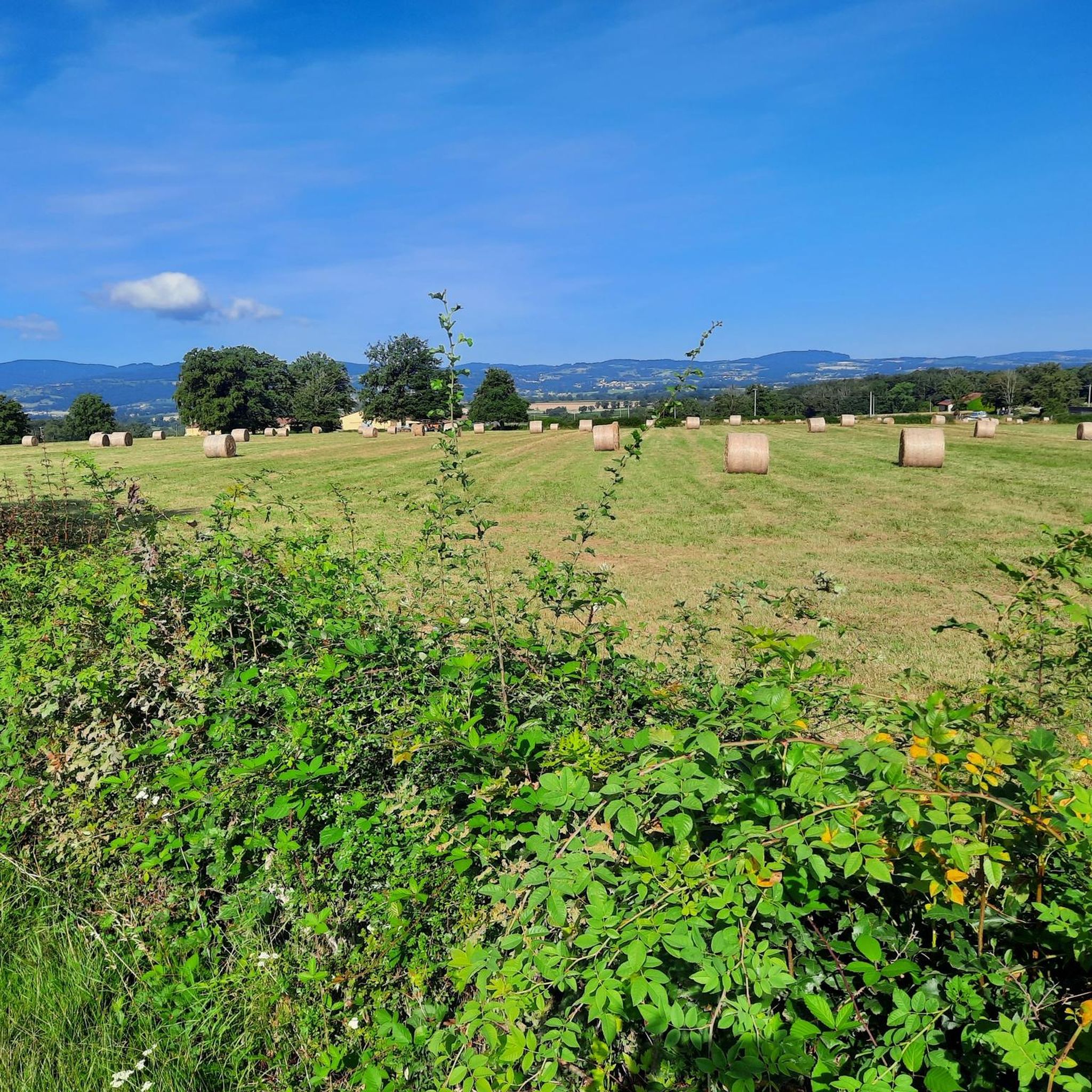
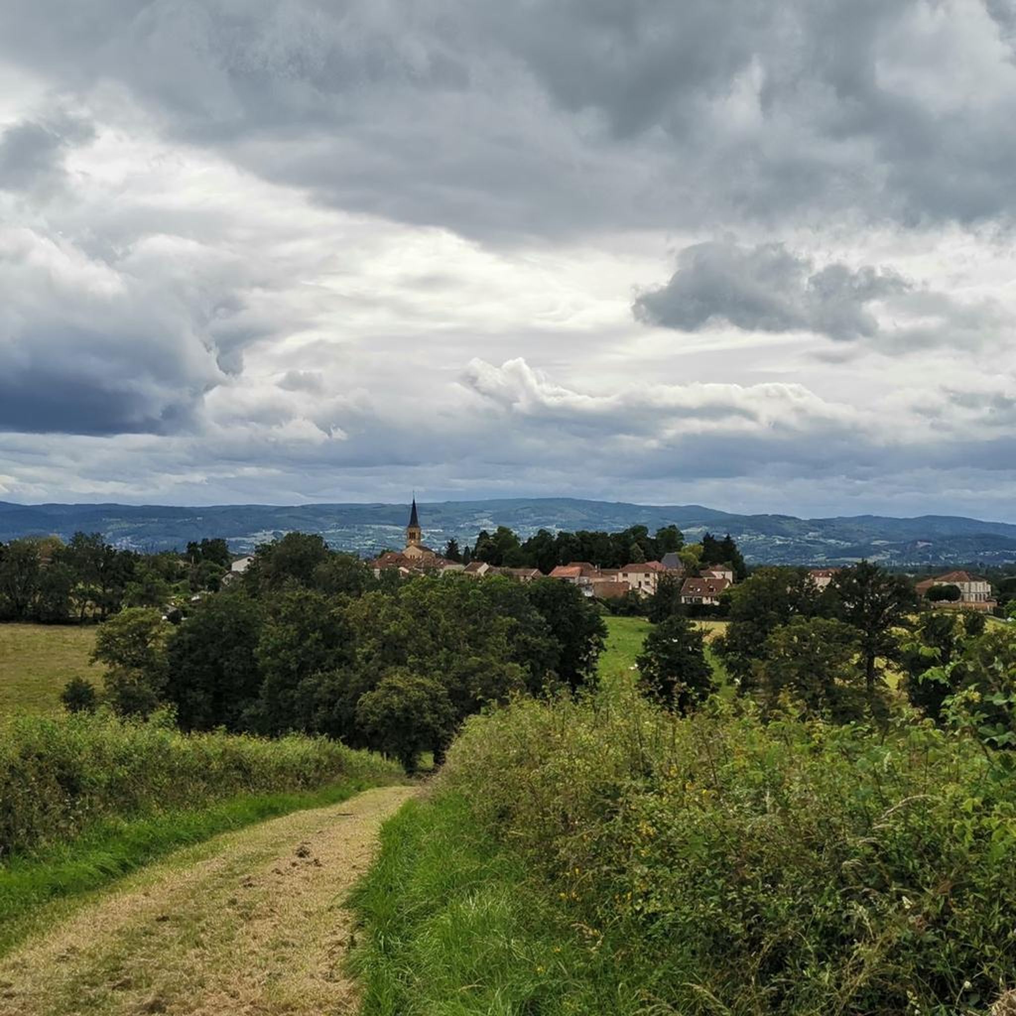

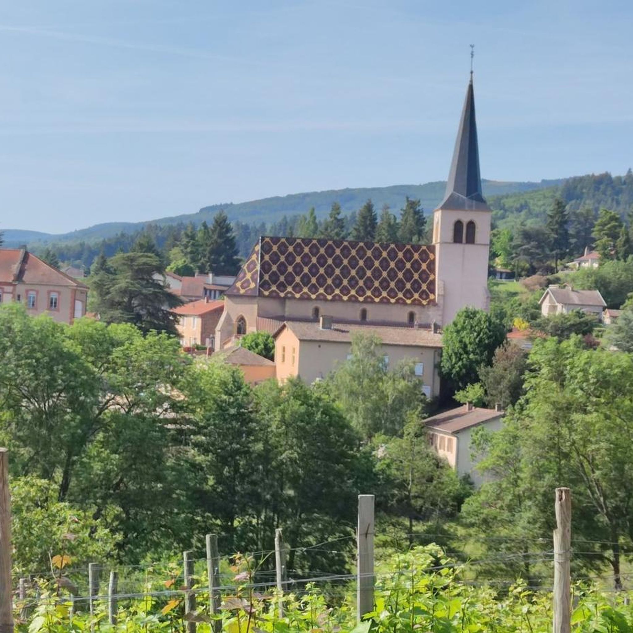

Tips from the Community

From this place, located just before the true highest point of the plateau, one enjoys an unobstructed view of the Roannais, the Alps and the regions of Auvergne.
3
0

A corner of paradise and an air of Provence due to its vegetation and its full sun exposure. After driving under the tall fir trees, the landscape opens up on this plateau and offers us a completely different setting.
0
0

The Col La Rivière Noire from Les Villards is 14.19km long with a total drop of 631m. The average gradient is 4.45% with maximum gradients of 7%.
1
0
The Glassworks Plateau is located at an altitude of 1,015 meters. It is a large open plateau in the Magdalen Mountains. The landscape is wild and relatively unspoiled.
0
0
The Col de la Croix du Sud from Saint-Bonnet-des-Quarts is 12 kilometers long with a total elevation gain of 398 meters. The average gradient is 3% with maximum gradients of 6%.
3
0

The beautiful medieval village has preserved many architectural treasures from its past, as evidenced by its ramparts, round towers, mansions and picturesque half-timbered houses. To visit: the charming Romanesque church which contains old murals. Also not to be missed, admire the beautiful facades of the Hôtel Pelletier and the house of the sundial.
6
0
Along with Saint-Jean-Saint-Maurice-sur-Loire, Ambierle, Charlieu and Le Crozet, Saint-Haon-le-Châtel is one of the five villages in Roanne labeled "Village of character in the Loire". Like the commune of Saint-Jean-Saint-Maurice-sur-Loire, the Way of Saint-Jacques-de-Compostelle crosses Saint-Haon-le Châtel.
6
0
Frequently Asked Questions
How many road cycling routes are available around Saint-Forgeux-Lespinasse?
There are nearly 30 road cycling routes around Saint-Forgeux-Lespinasse. These routes offer a diverse range of experiences, including 2 easy, 20 moderate, and 7 difficult options, catering to various skill levels.
What kind of terrain can I expect when road cycling in Saint-Forgeux-Lespinasse?
The region offers varied terrain, from peaceful forest roads to challenging climbs. You'll find rolling hills, open plains, and elevated points providing stunning views of the Roannais and Monts de la Madeleine. Cyclists can enjoy smooth tarmac and sweeping curves, with options suitable for different preferences.
Are there any challenging climbs for experienced road cyclists in the area?
Yes, for those seeking a challenge, the Col de la Croix de Mazieux near Saint-Forgeux is a notable ascent. It spans 6 km with an average gradient of 5% and sections reaching up to 9%, providing a rewarding workout and impressive views.
Can I find easy or moderate road cycling routes in Saint-Forgeux-Lespinasse?
Absolutely. While there are challenging routes, Saint-Forgeux-Lespinasse also offers 2 easy and 20 moderate road cycling routes. An example of a moderate route is the Roadbike loop from Saint-Forgeux-Lespinasse, which is 24.6 miles (39.5 km) long and leads through rolling hills.
What are some notable landmarks or attractions I can see along road cycling routes?
The area is rich in history and natural beauty. You might encounter sites like the medieval village vestiges of Lespinasse or the 11th-century Romanesque church in Saint-Forgeux-Lespinasse. Other points of interest include Saint-Haon-Le-Châtel, La Bénisson-Dieu Abbey, and the Canal de Roanne à Digoin.
Are there any circular road cycling routes available?
Many of the road cycling routes in Saint-Forgeux-Lespinasse are designed as loops, allowing you to start and finish in the same location. For instance, the challenging Le Crozet – Church of Châtel-Montagne loop from Saint-Forgeux-Lespinasse is a popular circular option.
What do other road cyclists enjoy the most about road cycling in Saint-Forgeux-Lespinasse?
The area is highly rated by the komoot community, with an average score of 5.0 stars. Reviewers often praise the blend of peaceful forest roads, rolling hills, and challenging ascents, as well as the smooth tarmac and sweeping curves that make for a tranquil and scenic riding experience.
Are there any routes that offer views of the surrounding countryside?
Yes, many routes provide expansive views. For example, the difficult Arfeuilles – Châtelus loop from Saint-Forgeux-Lespinasse offers scenic vistas of the surrounding hills and countryside, including sections with notable climbs that open up to panoramic sights.
What is the best time of year for road cycling in Saint-Forgeux-Lespinasse?
While specific weather data isn't provided, the region's varied landscapes suggest that spring and autumn would be ideal for road cycling, offering pleasant temperatures and vibrant scenery. Summer can also be enjoyable, especially on routes with tree cover like those near the Forêt de Lespinasse.
Are there any long-distance road cycling routes from Saint-Forgeux-Lespinasse?
Yes, for those looking for longer rides, there are options like the difficult Loire Canal Path – Digoin Canal Bridge loop from Saint-Forgeux-Lespinasse, which covers over 129 km (80 miles) and features moderate elevation gain.
Are there any routes that pass by significant natural features?
The region is home to the Forêt de Lespinasse, a significant natural asset. While primarily for walking, its perimeter roads and less technical tracks can offer enjoyable road cycling amidst nature. You might also encounter ponds like Lespinasse Pond and Bouletiere Pond, and the Great Canopy of Lespinasse Forest.
Most popular routes around Saint-Forgeux-Lespinasse
Most popular attractions around Saint-Forgeux-Lespinasse

Get inspired with the komoot mobile app


Explore more
Browse the best Road cycling routes in other regions.
